Elevation of Burkhart Drive, Burkhart Dr, Chadwick, MO, USA
Location: United States > Missouri > Christian County > Chadwick >
Longitude: -93.033999
Latitude: 36.9387911
Elevation: 405m / 1329feet
Barometric Pressure: 97KPa
Elevation Map:
Satellite Map:
Related Photos:
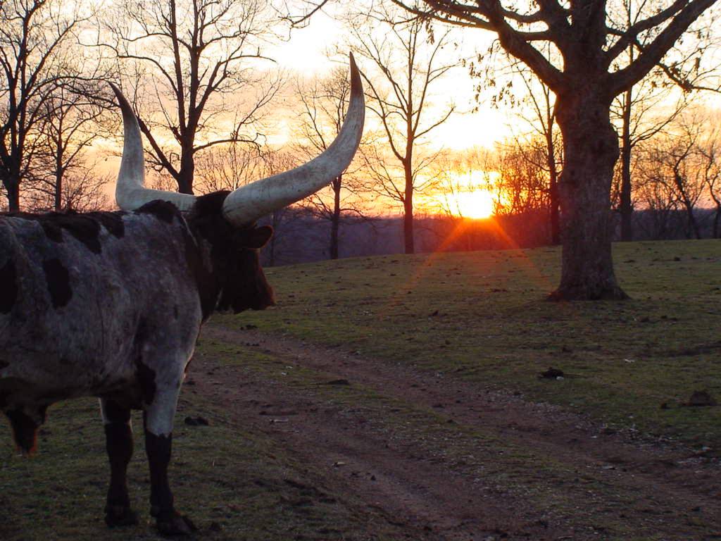
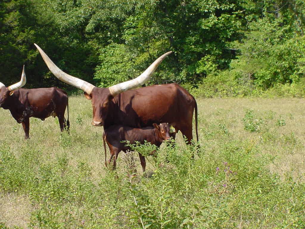
SUNSET VIEW
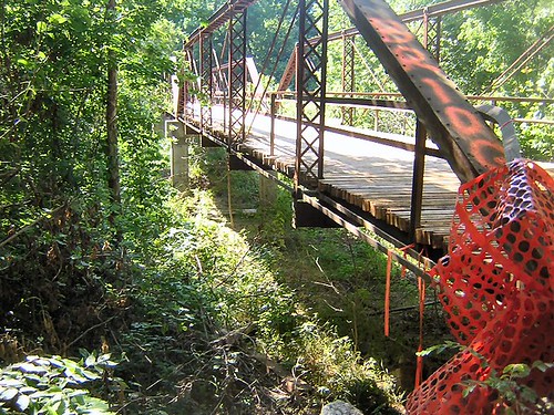
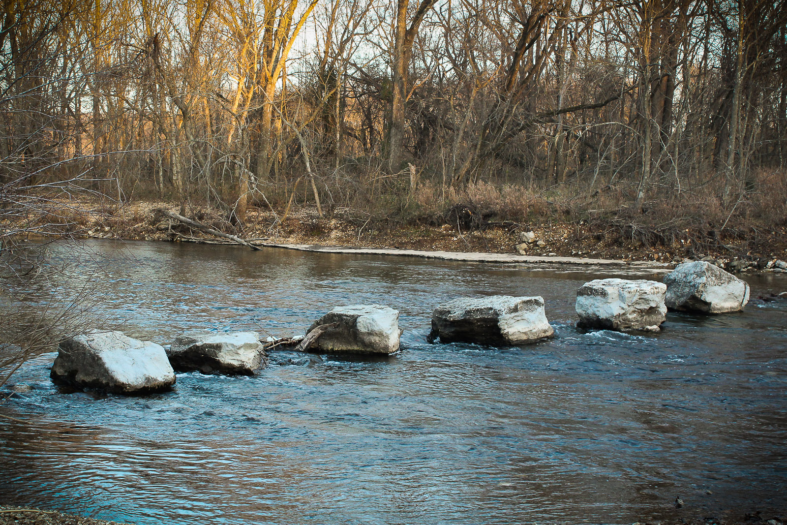
Bull Creek-Side View
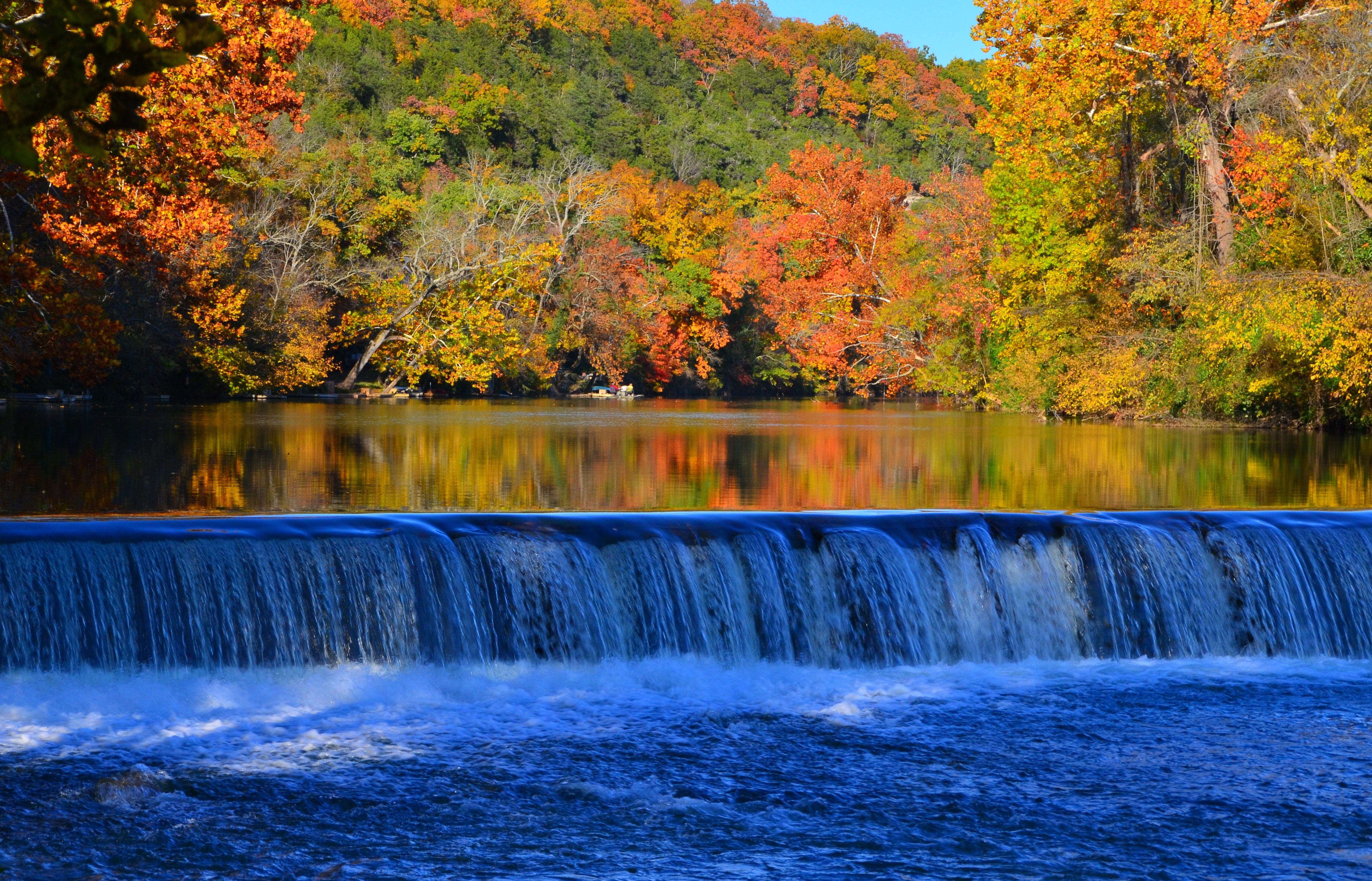
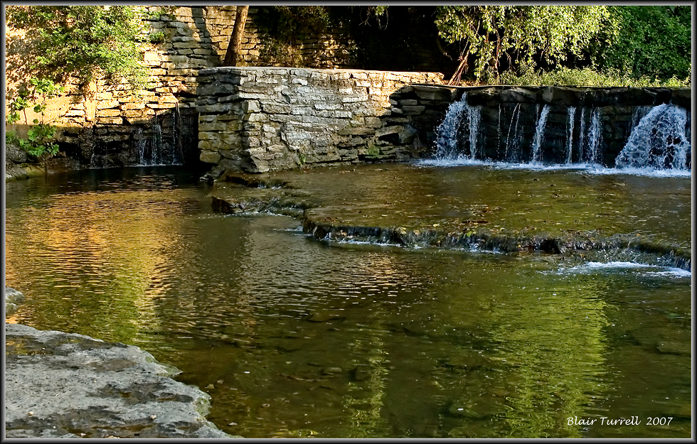
Lindenlure falls
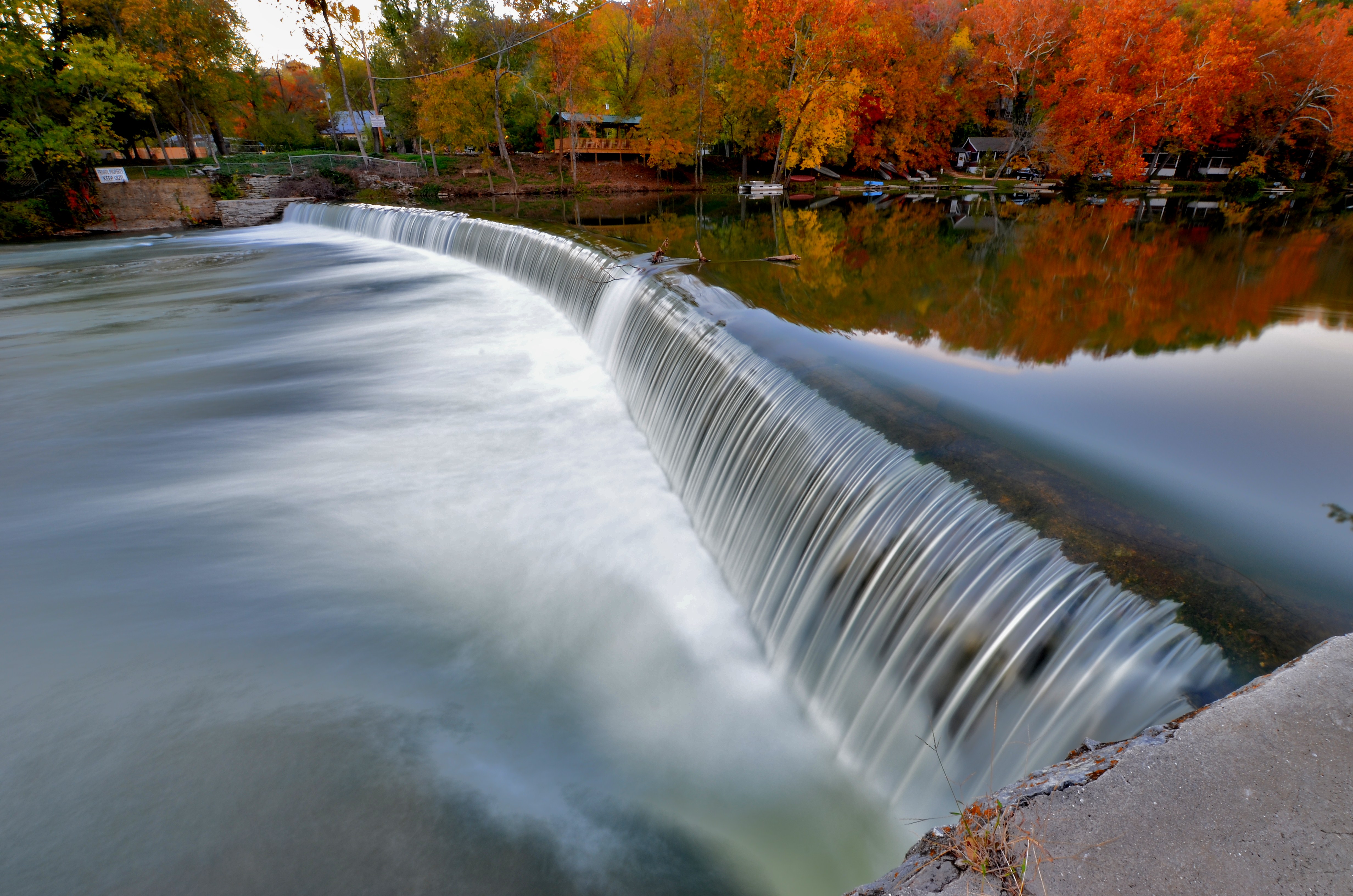
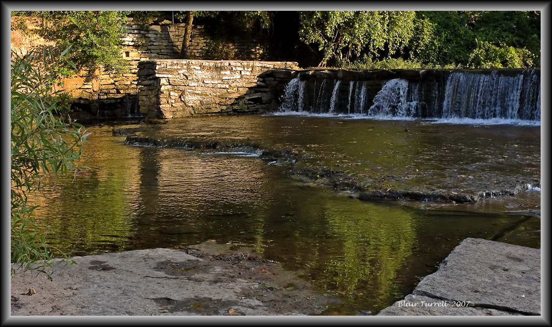
Linden Lure Falls

Head toward the light
Lindenlure Rocks
Finley River Falls
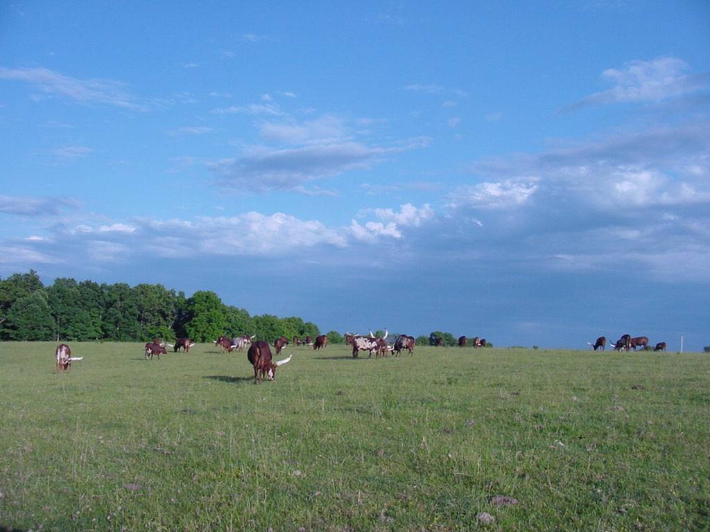
HIGH HAY FIELD
Finley River 2
OKSANA 8-05

052910-6
052210-blackout6
Topographic Map of Burkhart Drive, Burkhart Dr, Chadwick, MO, USA
Find elevation by address:

Places near Burkhart Drive, Burkhart Dr, Chadwick, MO, USA:
Chadwick
301 Estate Dr
295 Estate Dr
Lead Hill Township
Sparta
462 Braden Rd
Bruner
East Mountain Drive
Bruner
8155 State Hwy T
744 State Hwy Z
West Benton Township
Hope Lane
851 Chickasaw Rd
951 Chickasaw Rd
351 Swallow Dr
Mccracken Township
Linden Township
644 Valley View Rd
Mccracken
Recent Searches:
- Elevation of Corso Fratelli Cairoli, 35, Macerata MC, Italy
- Elevation of Tallevast Rd, Sarasota, FL, USA
- Elevation of 4th St E, Sonoma, CA, USA
- Elevation of Black Hollow Rd, Pennsdale, PA, USA
- Elevation of Oakland Ave, Williamsport, PA, USA
- Elevation of Pedrógão Grande, Portugal
- Elevation of Klee Dr, Martinsburg, WV, USA
- Elevation of Via Roma, Pieranica CR, Italy
- Elevation of Tavkvetili Mountain, Georgia
- Elevation of Hartfords Bluff Cir, Mt Pleasant, SC, USA