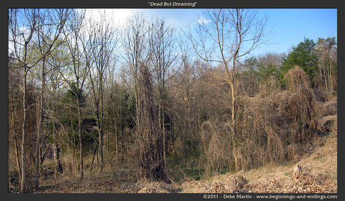
Elevation of Cherry Hill Rd, Limestone, TN, USA
Location: United States > Tennessee > Washington County > Limestone >
Longitude: -82.603577
Latitude: 36.344523
Elevation: 564m / 1850feet
Barometric Pressure: 95KPa
Related Photos:

Power in the clouds. #johnsoncity #kingsport #cloudporn #skyporn #instaclouds #powerlines #landscapes #skylines #instagram #iphonesia #photooftheday #trinity2 #instagood #iphone #iphoneonly #popular #iphonography #iphoneography #instamood #Instadaily #ig

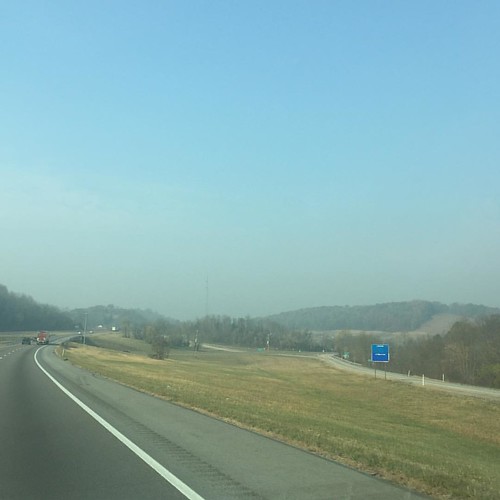
Open Road Tennessee #i81 #cloud #cloudporn #sky #skyporn #tennessee #igers #igers_philly #vsco #vscocam
Topographic Map of Cherry Hill Rd, Limestone, TN, USA
Find elevation by address:

Places near Cherry Hill Rd, Limestone, TN, USA:
192 Rosecliff Dr
Harmony Rd, Jonesborough, TN, USA
299 Armstrong Hill Rd
277 W Ridge Rd
625 Saylor Hill Rd
212 Jay Armentrout Rd
Sulphur Springs
190 Thornburg Hills Rd
Thornburg Hills Road
114 Highland Rd
675 A A Deakins Rd
528 Kyker Rd
Washington County
Pleasant Valley Rd, Jonesborough, TN, USA
3425 Andrew Johnson Hwy
121 Laurel Acres Ct
251 New Hope Rd
1063 Quaker Run
198 Sugar Hollow Rd
Washington College Station Road
Recent Searches:
- Elevation of Corso Fratelli Cairoli, 35, Macerata MC, Italy
- Elevation of Tallevast Rd, Sarasota, FL, USA
- Elevation of 4th St E, Sonoma, CA, USA
- Elevation of Black Hollow Rd, Pennsdale, PA, USA
- Elevation of Oakland Ave, Williamsport, PA, USA
- Elevation of Pedrógão Grande, Portugal
- Elevation of Klee Dr, Martinsburg, WV, USA
- Elevation of Via Roma, Pieranica CR, Italy
- Elevation of Tavkvetili Mountain, Georgia
- Elevation of Hartfords Bluff Cir, Mt Pleasant, SC, USA
