Elevation of Pleasant Valley Rd, Jonesborough, TN, USA
Location: United States > Tennessee > Washington County > Jonesborough >
Longitude: -82.51702
Latitude: 36.348441
Elevation: 479m / 1572feet
Barometric Pressure: 96KPa
Elevation Map:
Satellite Map:
Related Photos:

2013.12.27 125K Views

View from the Front Porch

My view today

Johnson City Country Club

What is your view look like right now?

You deserve a donut... with a view.
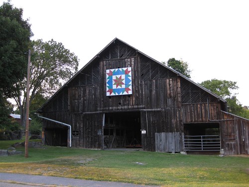
Knob View Farm - 'Star of Lemoyne - Swallows in the Window'

Johnson City, TN Depot

Watching the Game

What Is Your Focus

Hale's Grocery

Parents view.
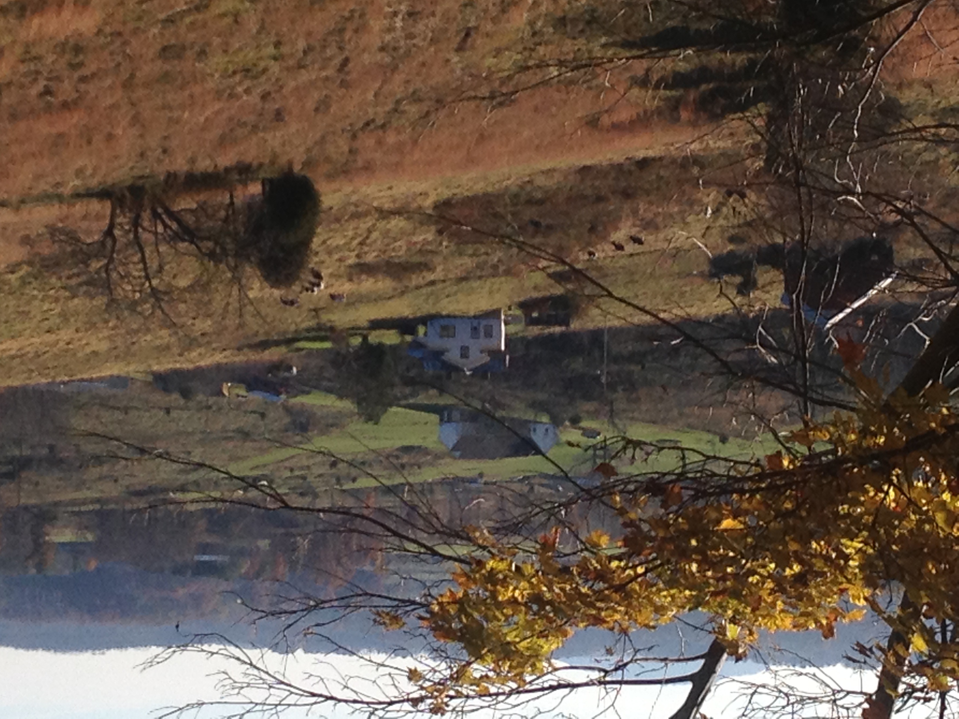
View of Gray, TN

First Presbyterian Church - Jonesborough, TN

Great view

First Presbyterian Church - Jonesborough, TN

May Isolation Theme Entry

Buffalo Mountain

Lady Slate
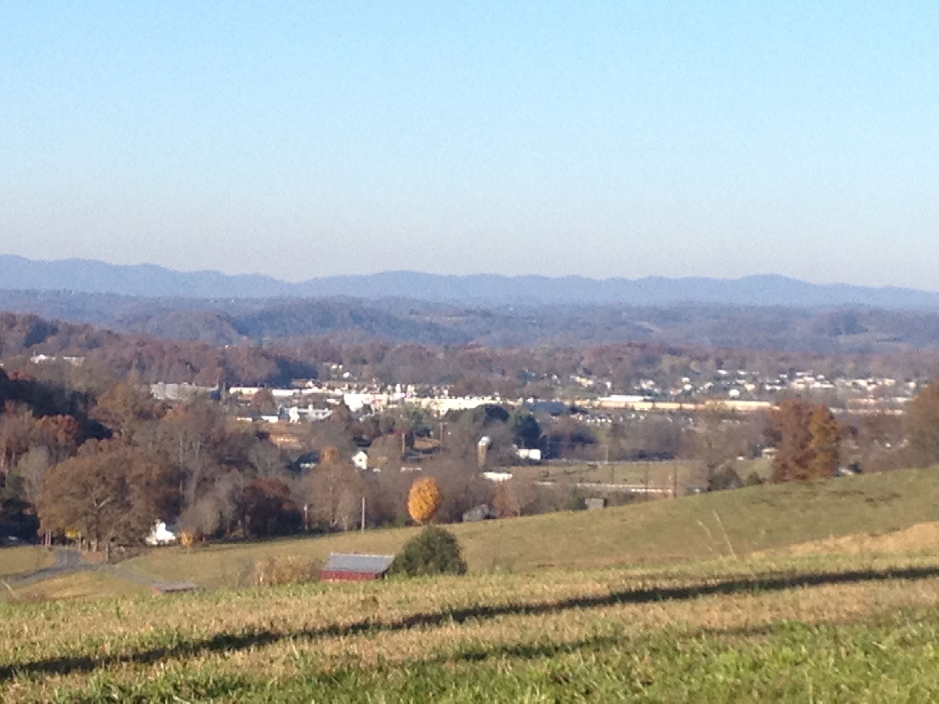
View of Gray
IMAG0059-1-1
A face among the Fall

Sing like never before, O my soul. #projectserve13

WP_20151120_002 (2)

Power in the clouds. #johnsoncity #kingsport #cloudporn #skyporn #instaclouds #powerlines #landscapes #skylines #instagram #iphonesia #photooftheday #trinity2 #instagood #iphone #iphoneonly #popular #iphonography #iphoneography #instamood #Instadaily #ig

Runs_Into_Horse_Creek_(14_of_14)
Luscious Landscape Layers
3-TrailWarriorsPathPark

Open Road Tennessee #i81 #cloud #cloudporn #sky #skyporn #tennessee #igers #igers_philly #vsco #vscocam

Runs_Into_Horse_Creek_(2_of_14)

#sunset #sunsetlovers #sunsets

IMG_0160.JPG

Pine Oaks Golf Course

Weather Up Ahead

P1000298.JPG
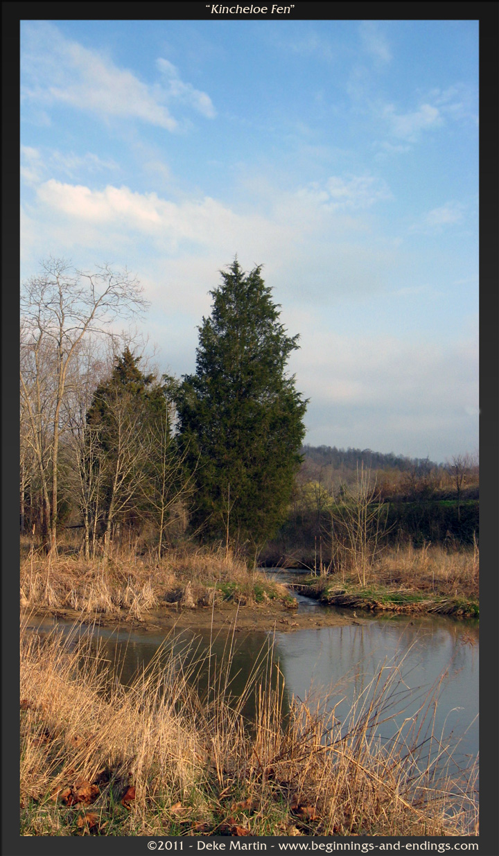
Kincheloe Fen

2008-07-06 - July 4th And Mary Elizabeth & John's Visit (67)

TVA land - fall in TN
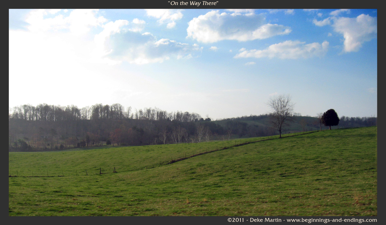
On the Way There

IMG_1583.JPG

#sunsets #sunsetlovers #sunset

Wetenschap Heuvel
Topographic Map of Pleasant Valley Rd, Jonesborough, TN, USA
Find elevation by address:

Places near Pleasant Valley Rd, Jonesborough, TN, USA:
Washington County
114 Highland Rd
121 Laurel Acres Ct
Sulphur Springs
199 Bob Clark Rd
139 Bob Clark Rd
Hairetown Road
675 A A Deakins Rd
939 Hairetown Rd
686 Tavern Hill Rd
212 Jay Armentrout Rd
277 W Ridge Rd
563 Hales Chapel Rd
Tavern Hill Road
251 New Hope Rd
410 Highland Church Rd
Hales Rd, Jonesborough, TN, USA
198 Sugar Hollow Rd
Harmony Rd, Jonesborough, TN, USA
800 Haws Dr
Recent Searches:
- Elevation of Corso Fratelli Cairoli, 35, Macerata MC, Italy
- Elevation of Tallevast Rd, Sarasota, FL, USA
- Elevation of 4th St E, Sonoma, CA, USA
- Elevation of Black Hollow Rd, Pennsdale, PA, USA
- Elevation of Oakland Ave, Williamsport, PA, USA
- Elevation of Pedrógão Grande, Portugal
- Elevation of Klee Dr, Martinsburg, WV, USA
- Elevation of Via Roma, Pieranica CR, Italy
- Elevation of Tavkvetili Mountain, Georgia
- Elevation of Hartfords Bluff Cir, Mt Pleasant, SC, USA