Elevation of Chemin du Lac Labelle, Labelle, QC J0T, Canada
Location: Canada > Québec > Les Laurentides Regional County Municipality > Labelle >
Longitude: -74.812783
Latitude: 46.2625015
Elevation: 249m / 817feet
Barometric Pressure: 98KPa
Elevation Map:
Satellite Map:
Related Photos:
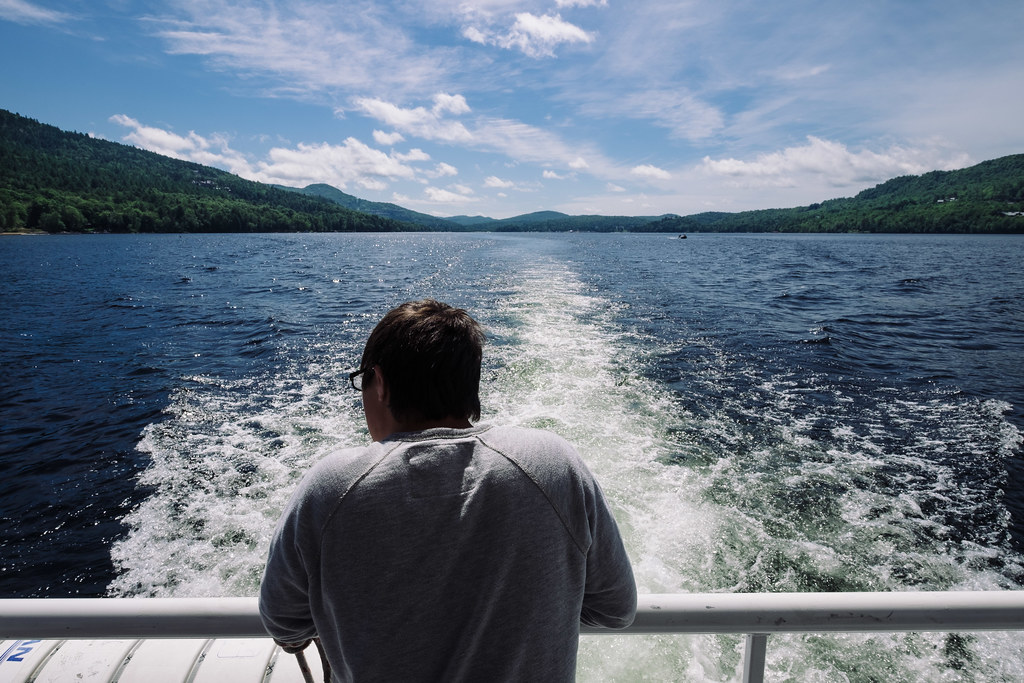
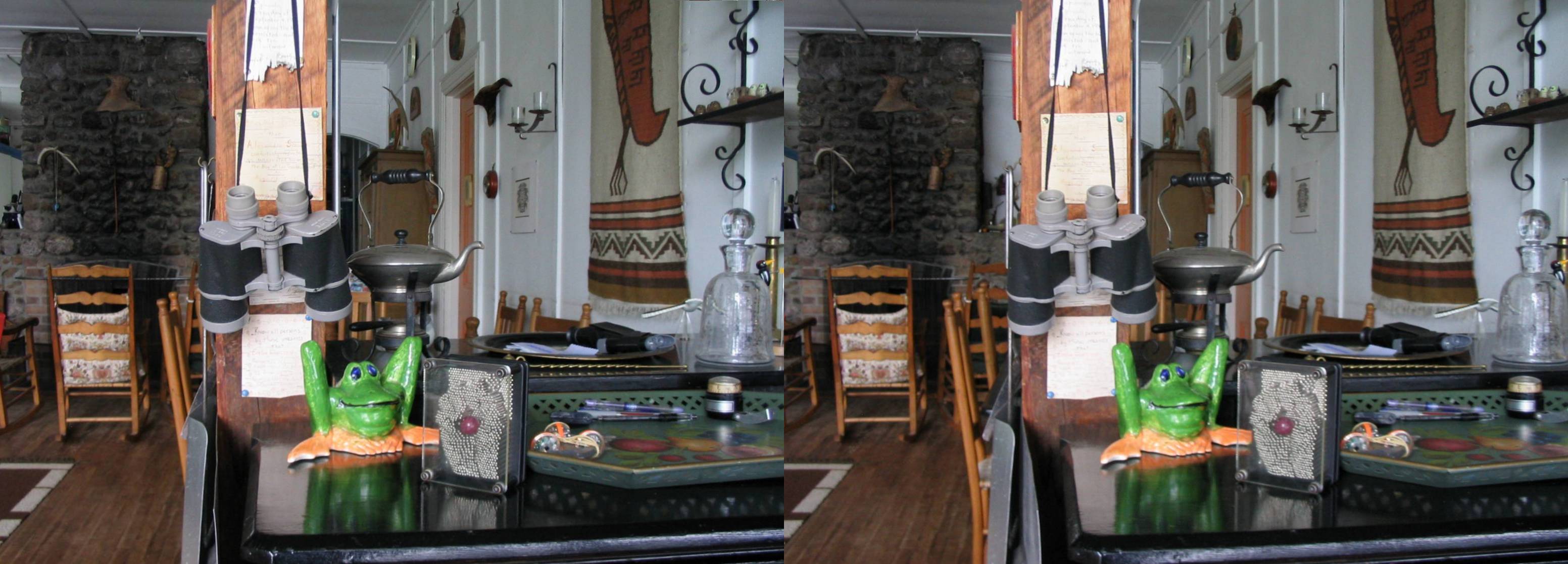
Wake up! | 214/365
view large
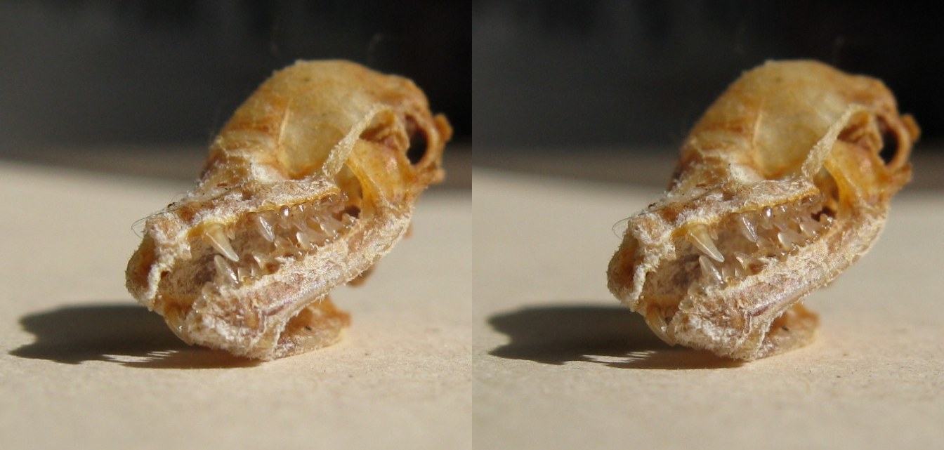
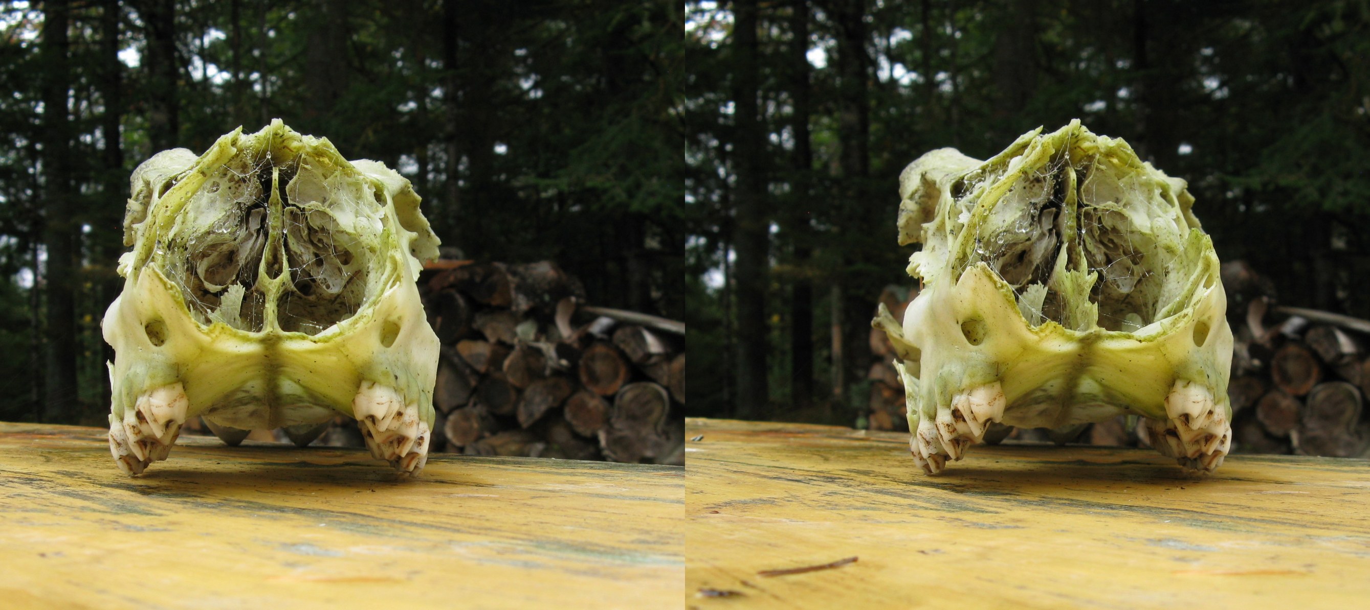
bat skull tipped
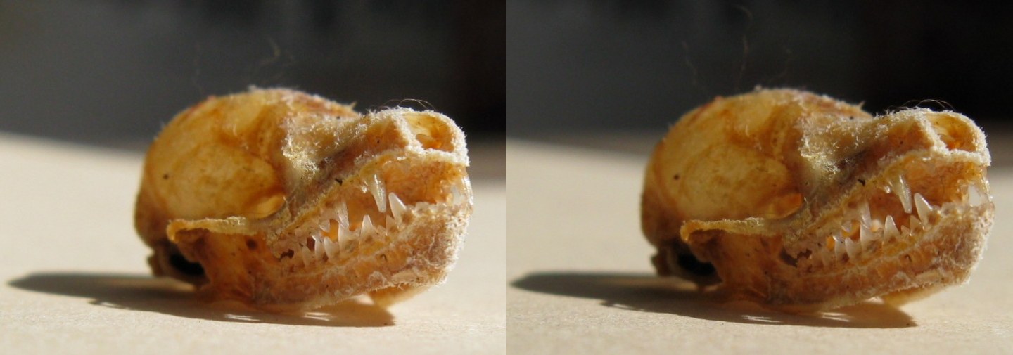
bat skull front
frog crosseye
deer skull
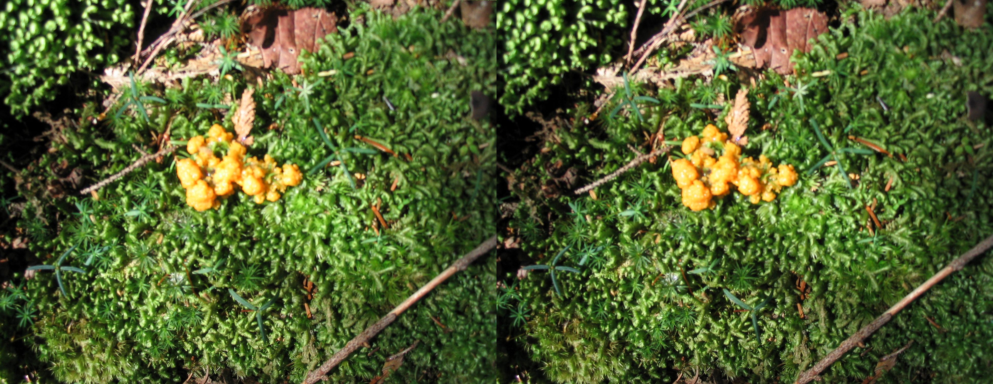
moss crosseye
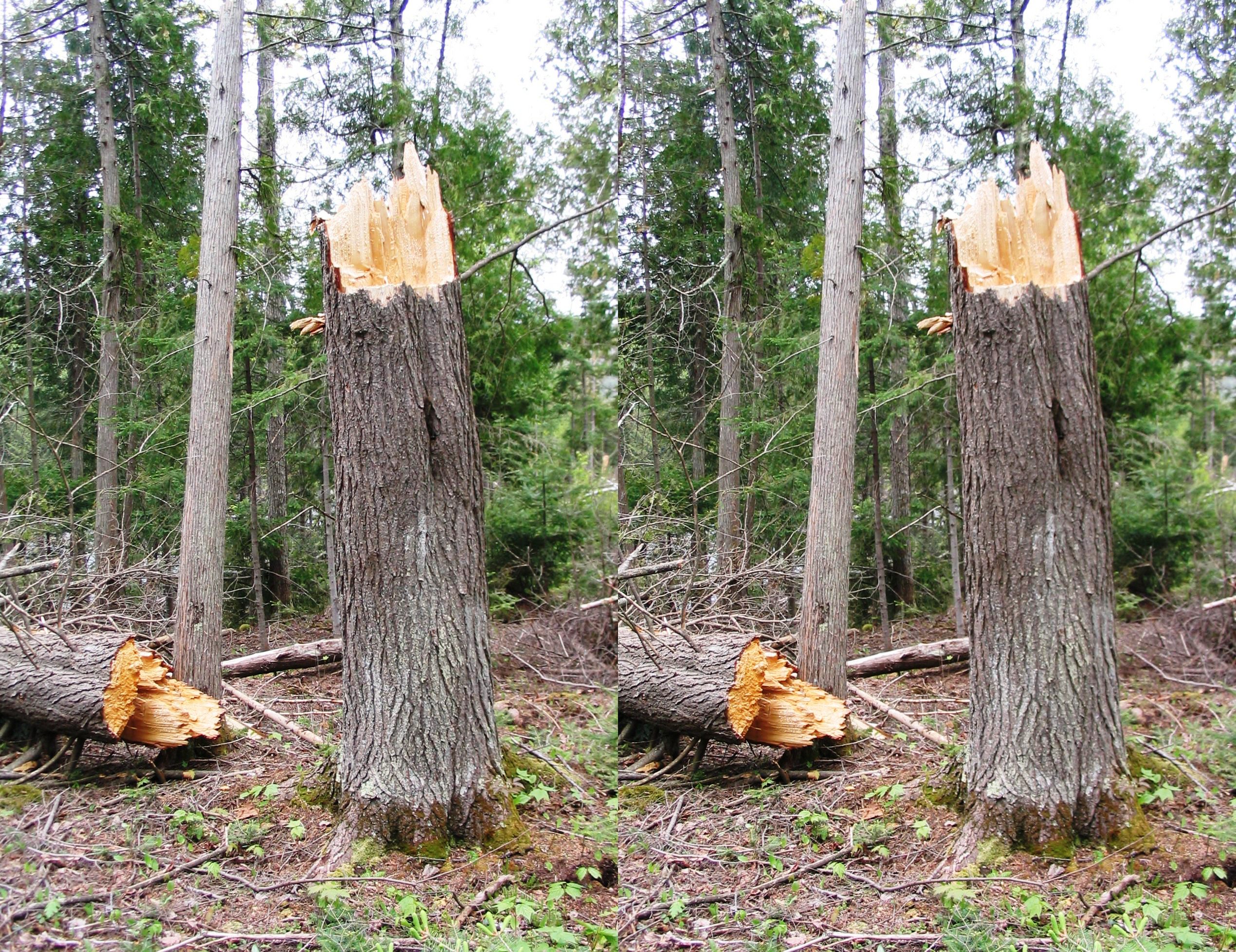
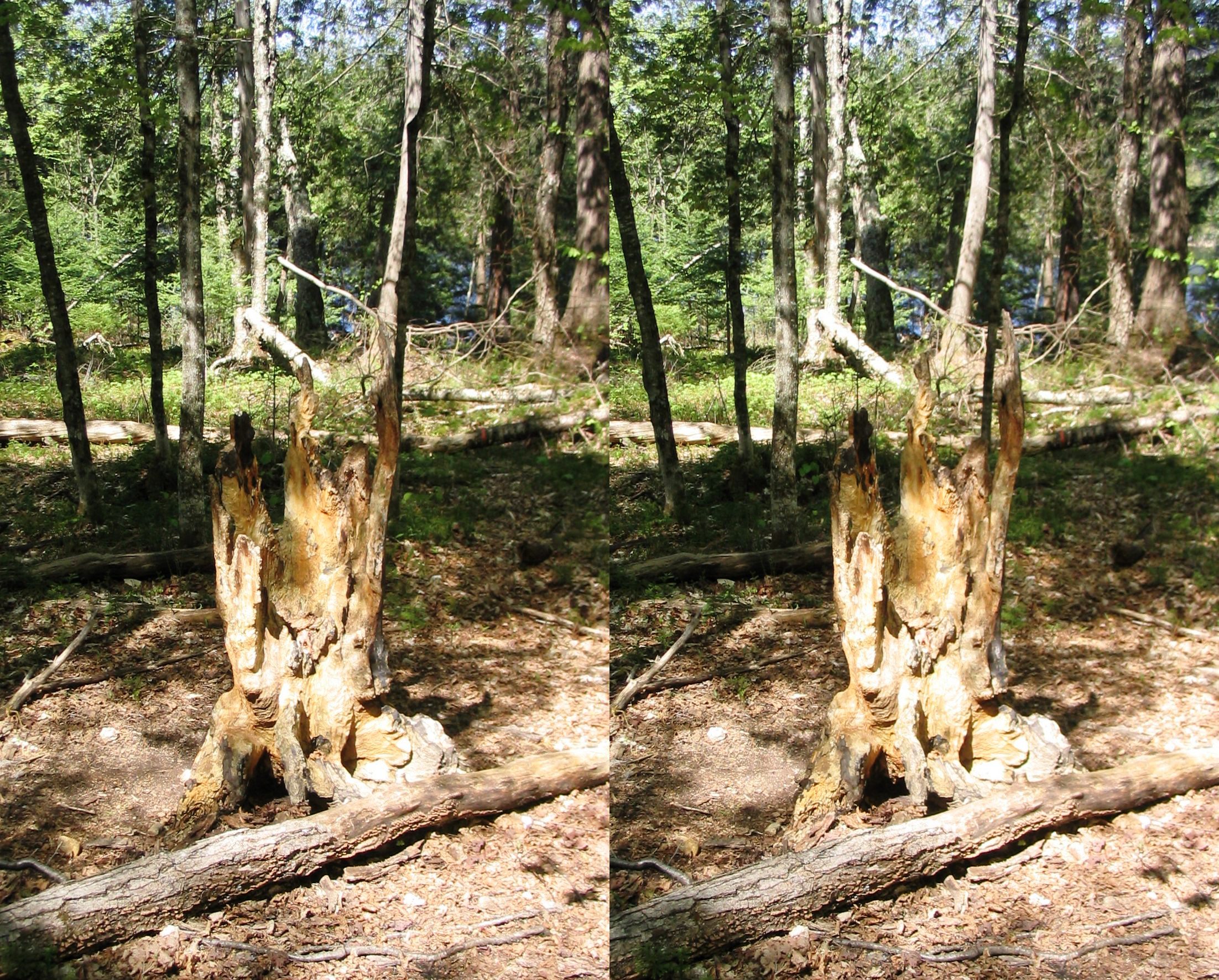
broken tree
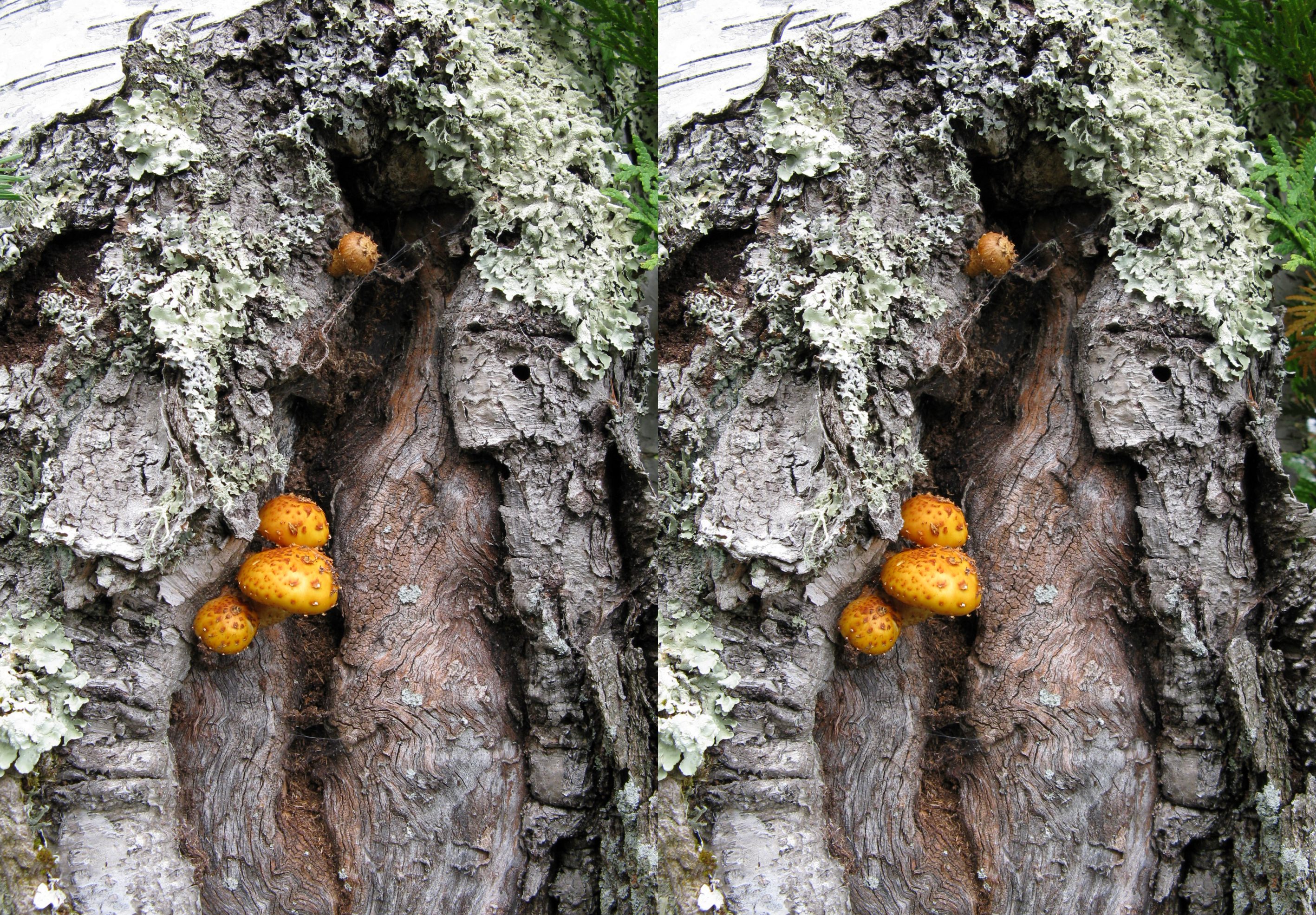
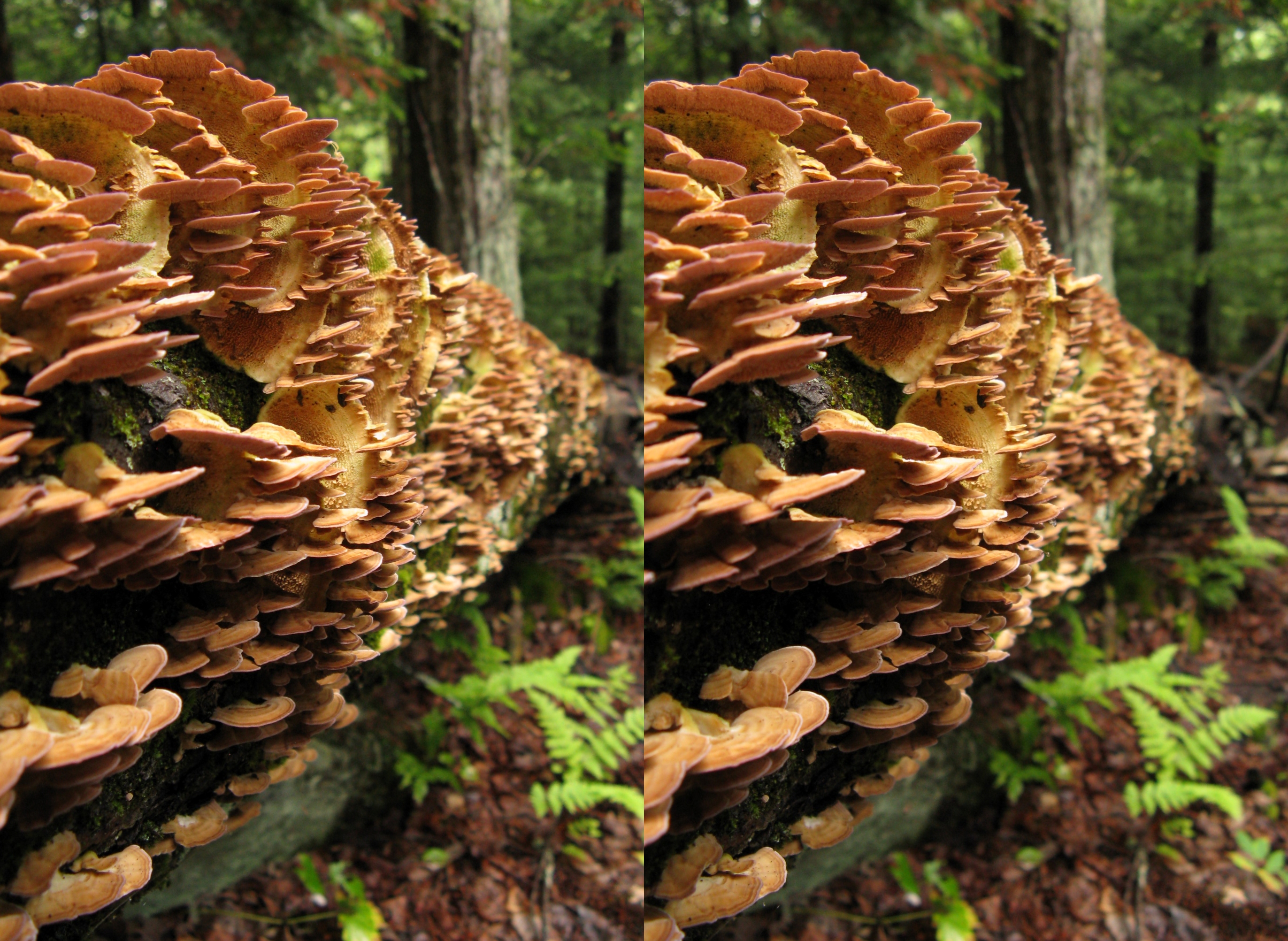
mushrooms on birch tree
salt lick stump
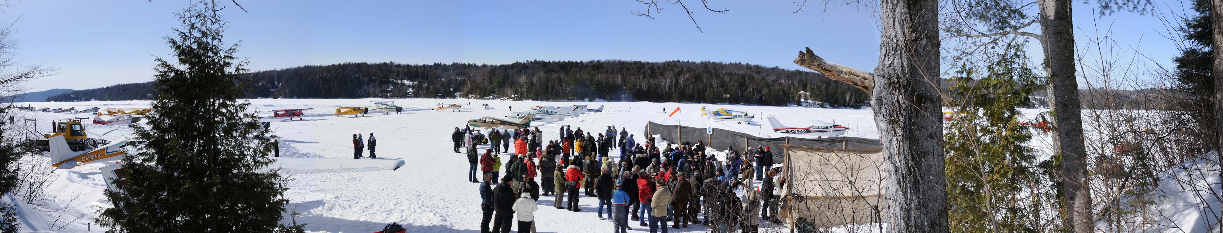
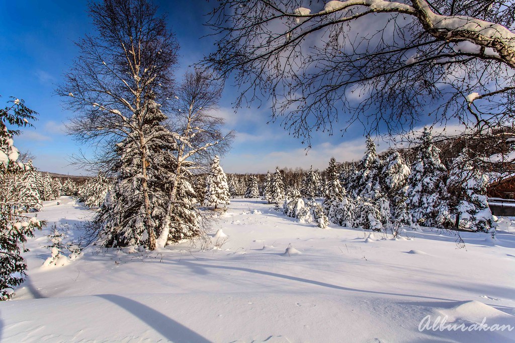
pano-site768 @ Lac Labelle 2mar08

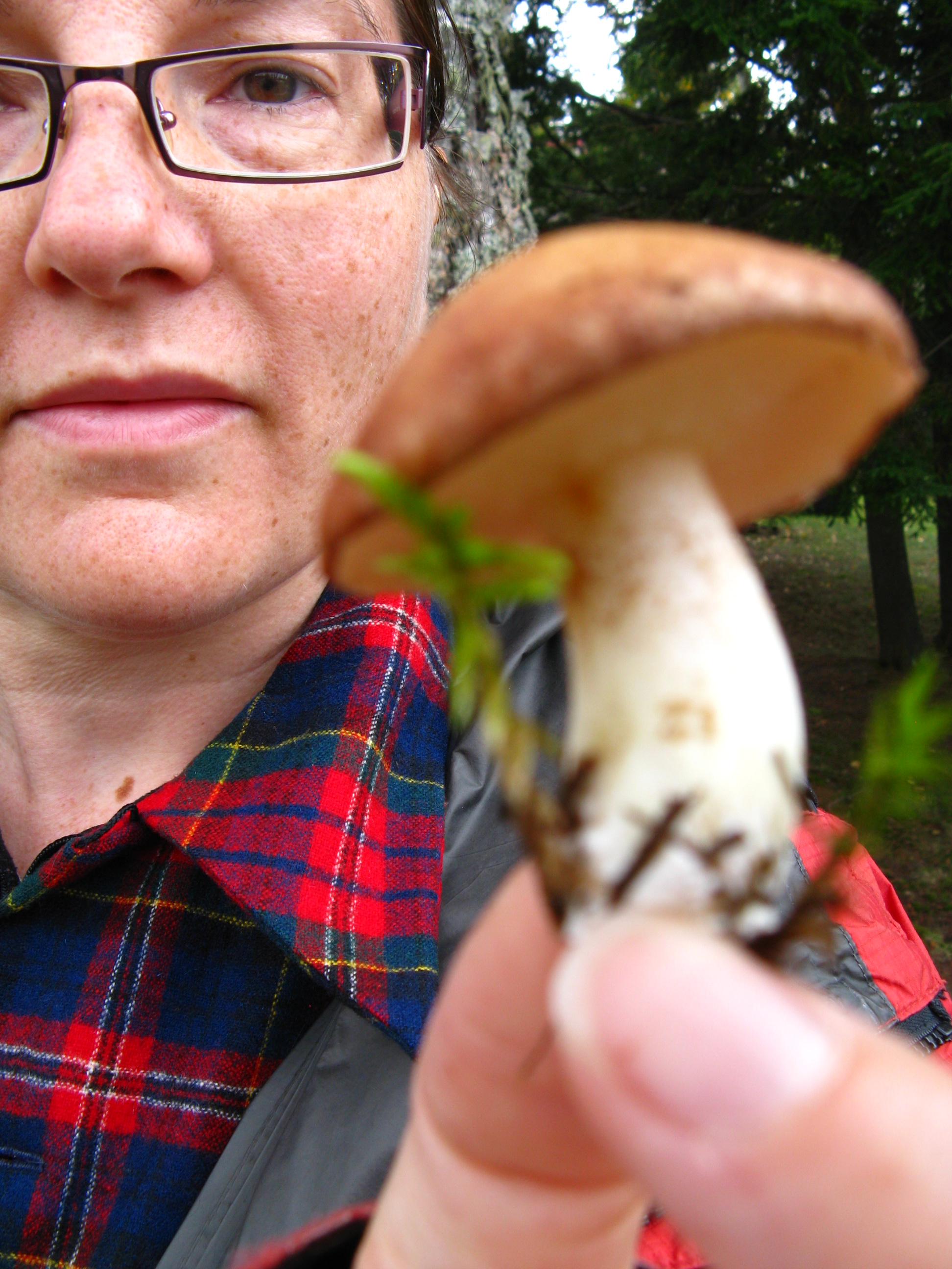
mushroom unknown foot

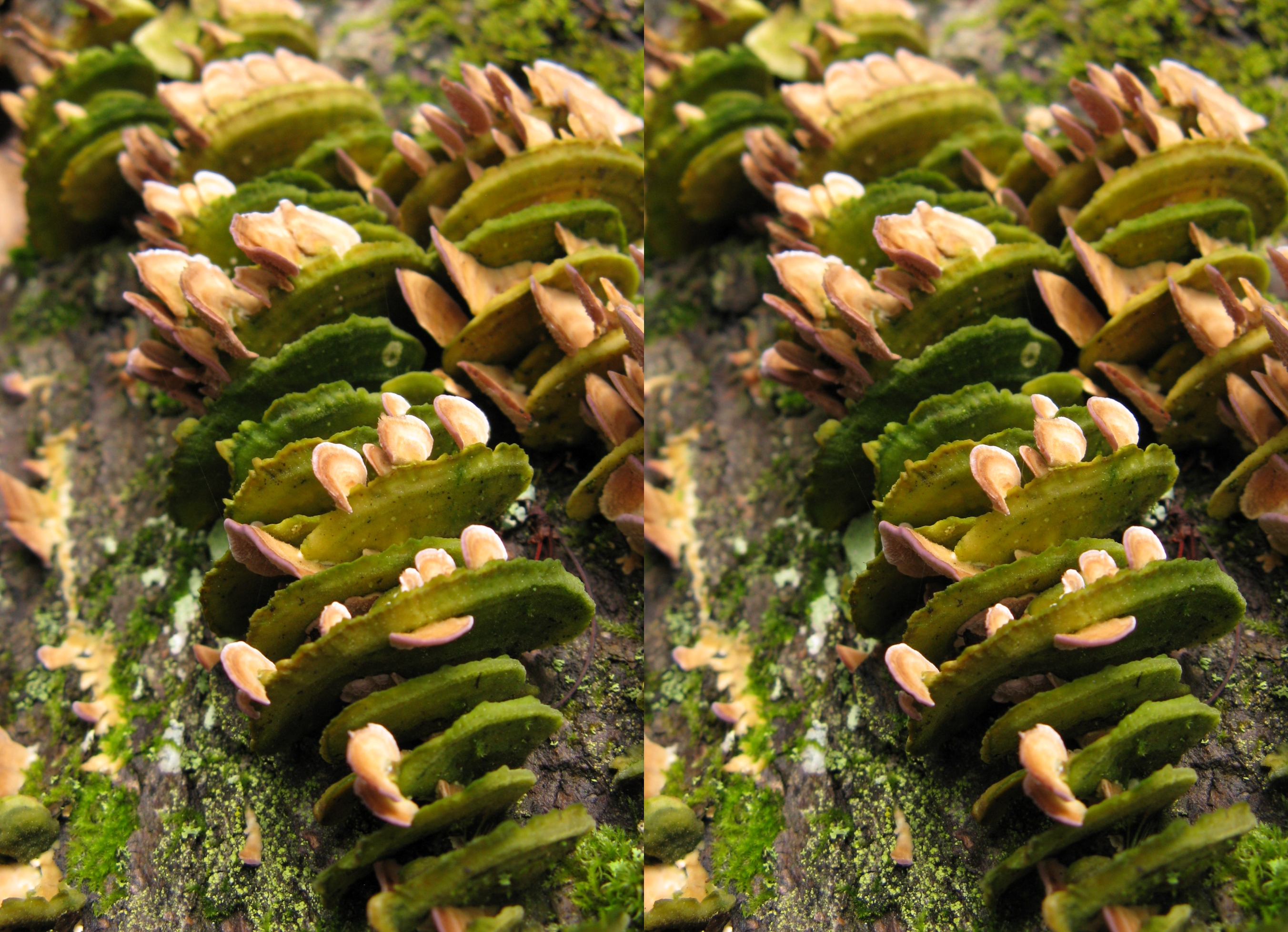
mini mushrooms 3D
your point of view.
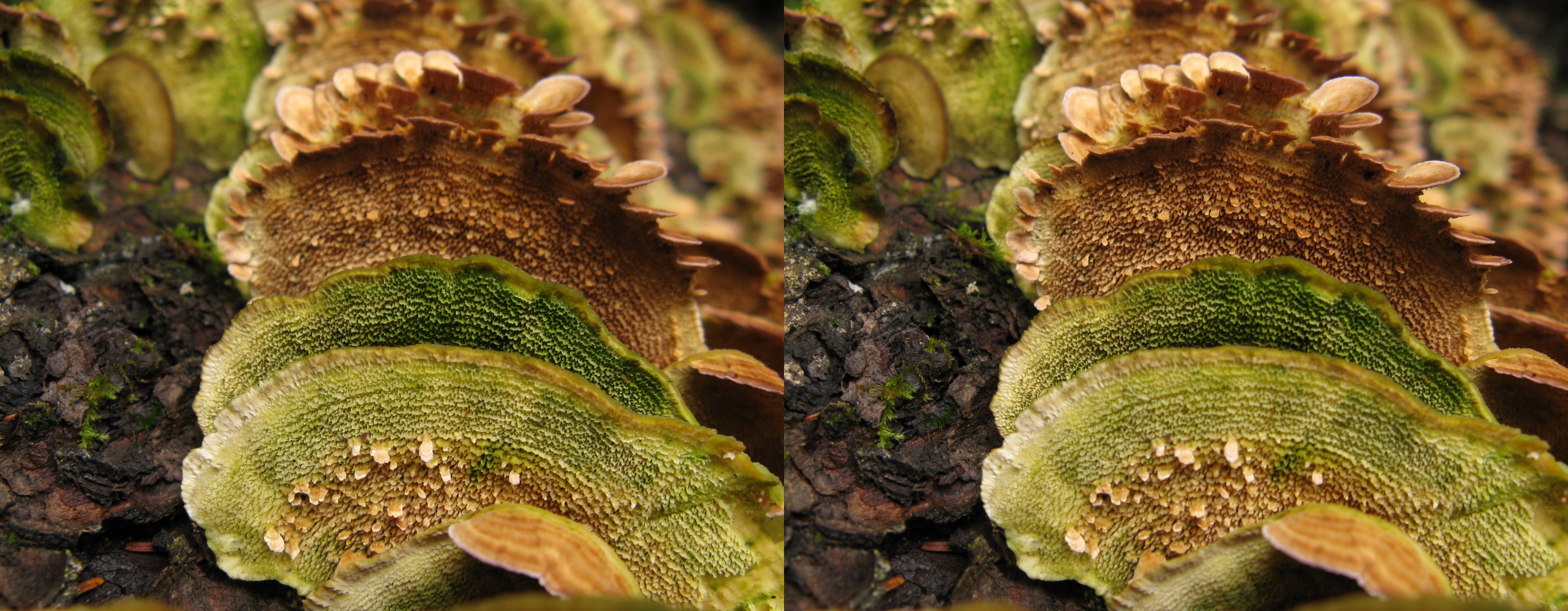
fungi rightangles 8
fungi rightangles 7
fungi rightangles 5
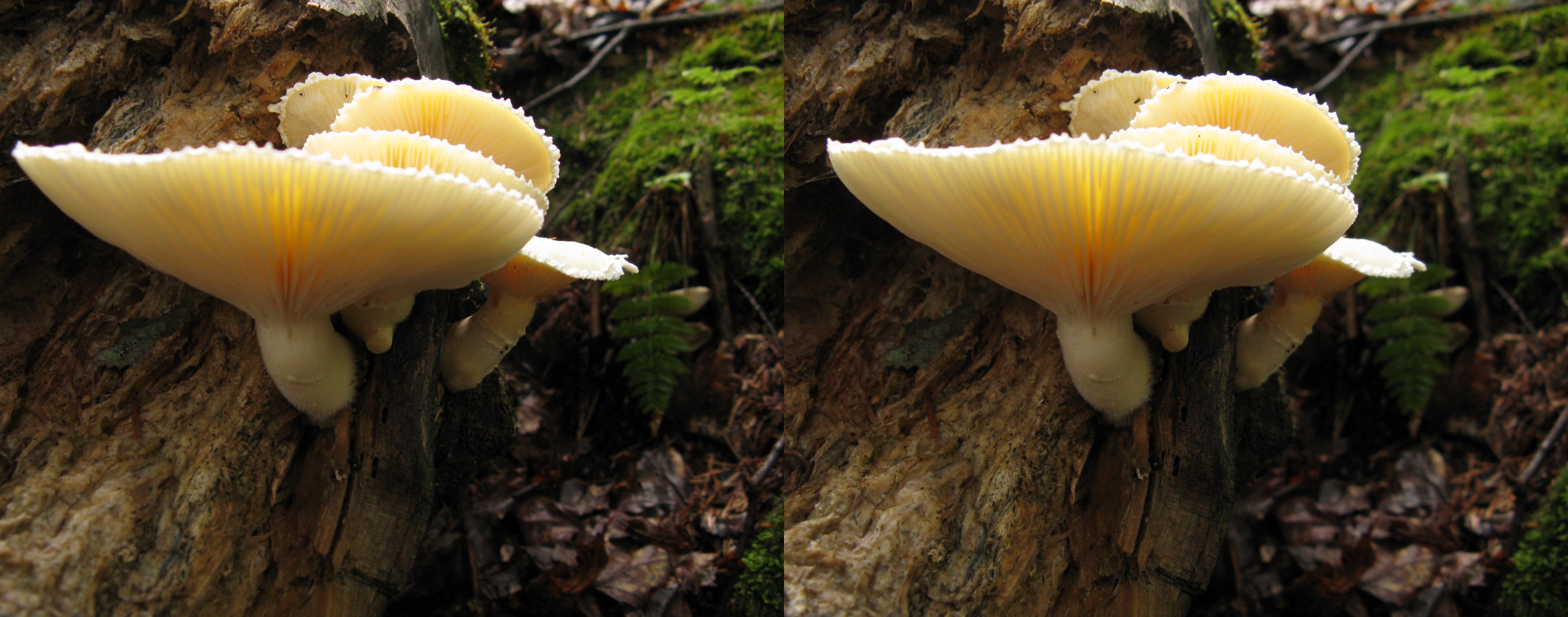
backlight mushrooms
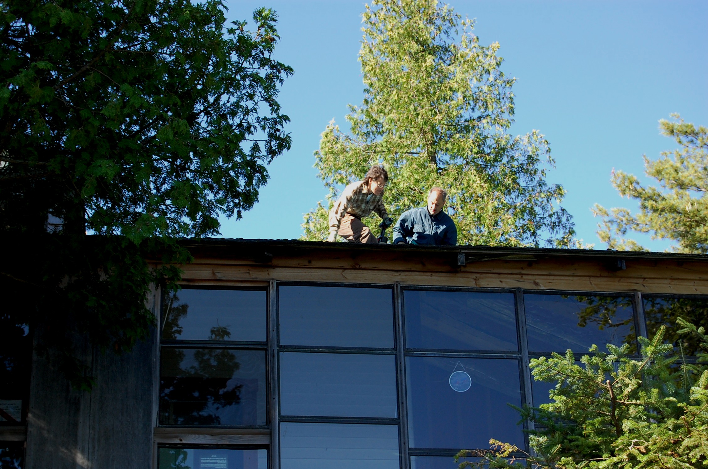
Not too close to the edge without saftey ropes.
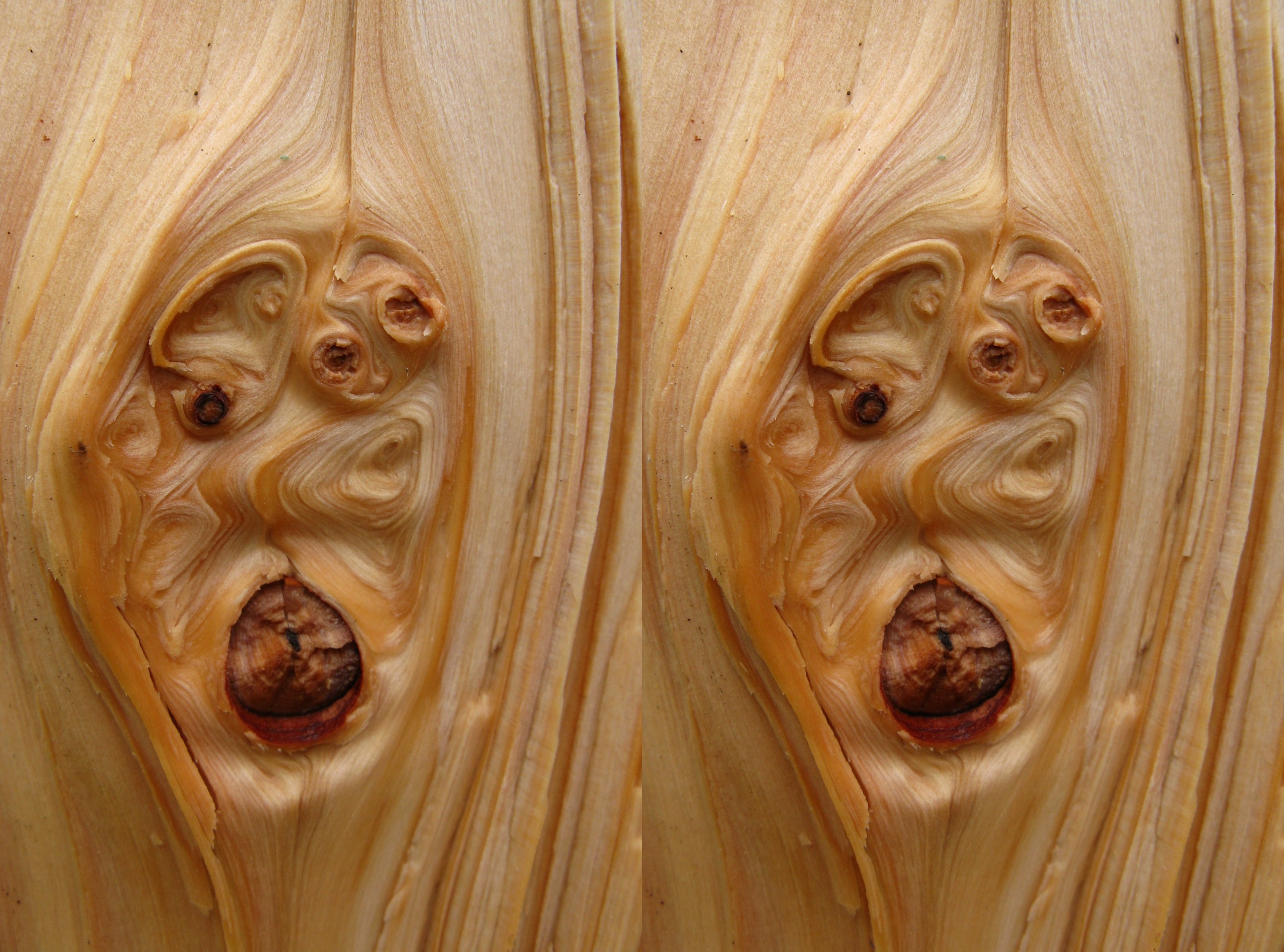
naughty wood
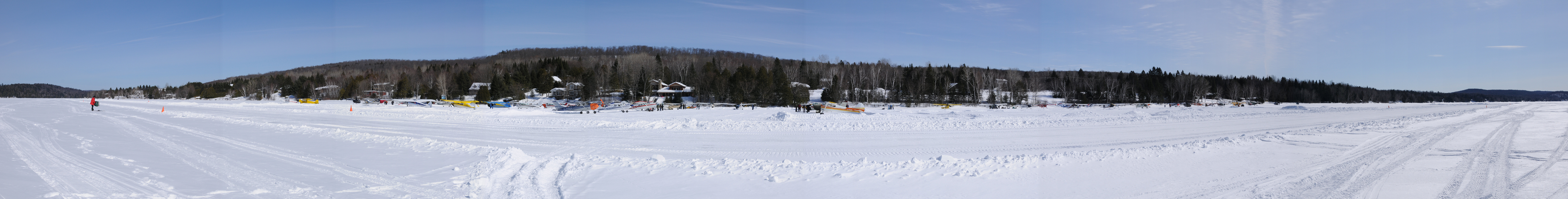
pano-piste768 @ Lac Labelle 2mar08

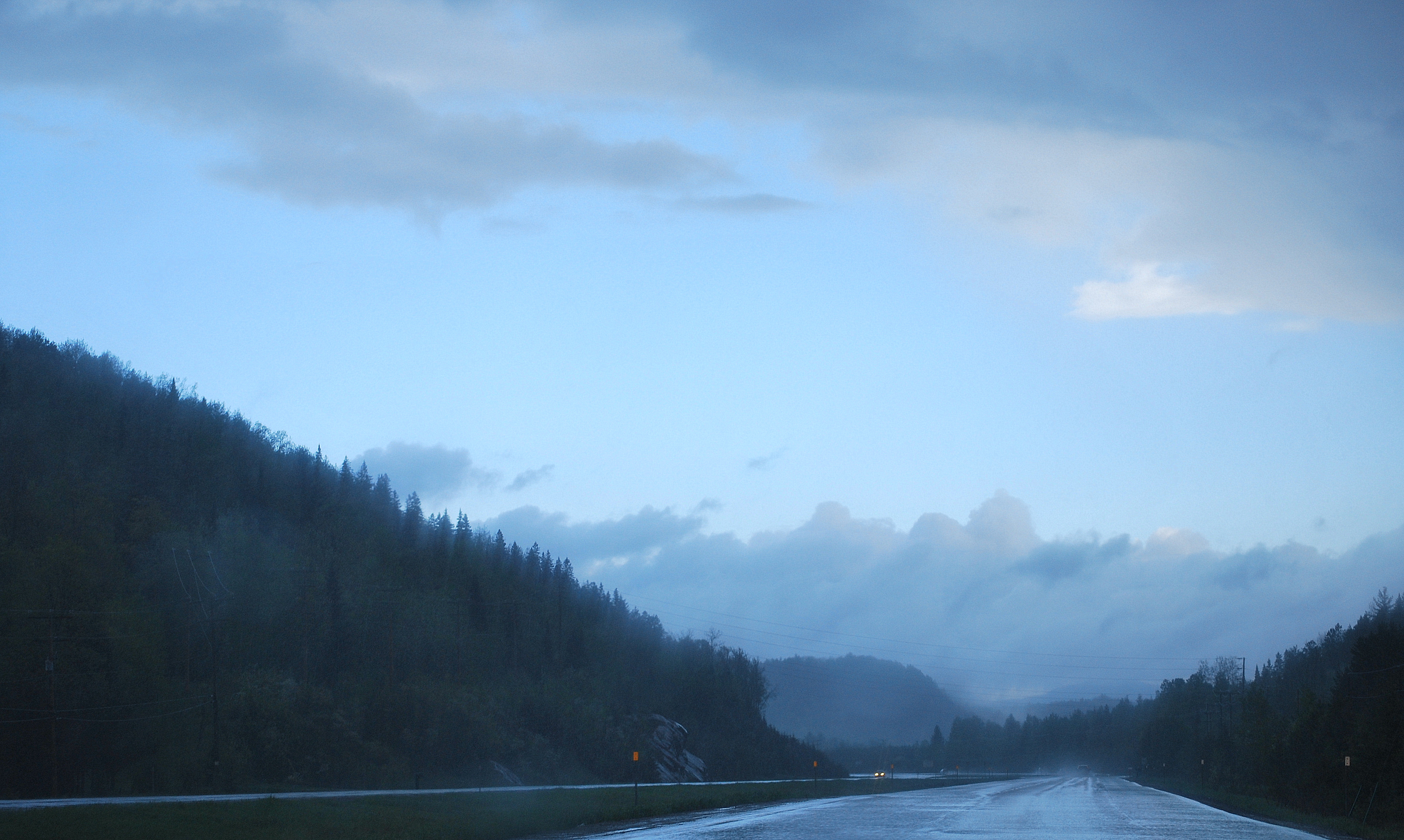
Rivière Rouge, La Macaza, Québec
This Way to St-Jerome
The cold Sun!!
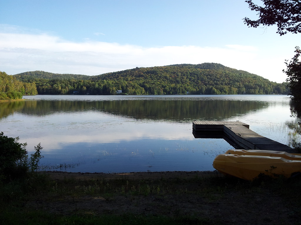
Le Lac Clair à La Macaza. 2013-09-11 17.06.47

Rivière Rouge, La Macaza, Québec
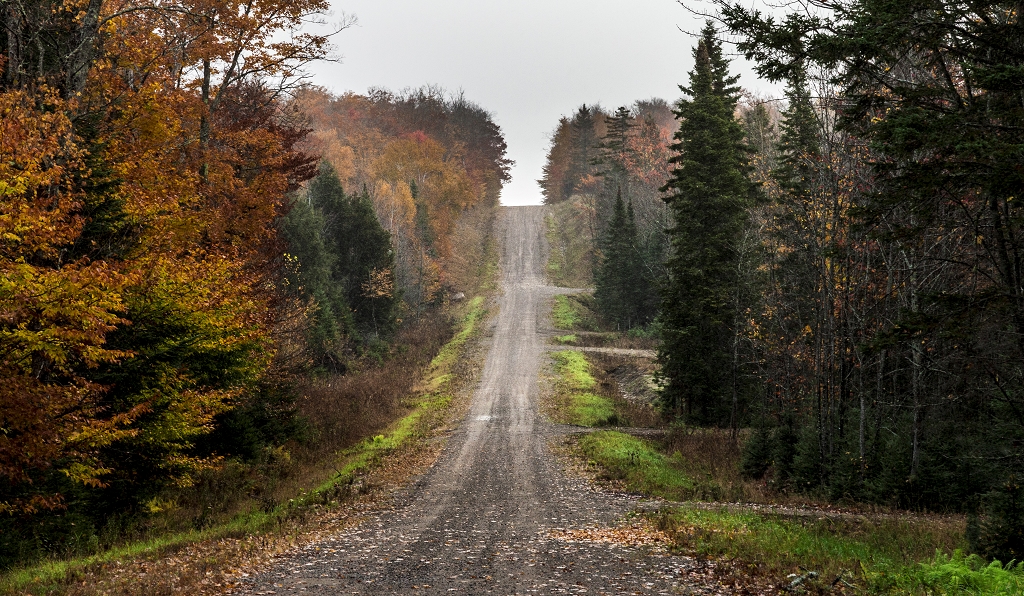
Le chemin

Pont Couvert, La Macaza, Québec
feels like -28°!!
A meter deep!
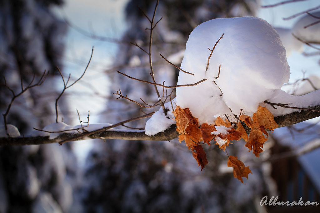
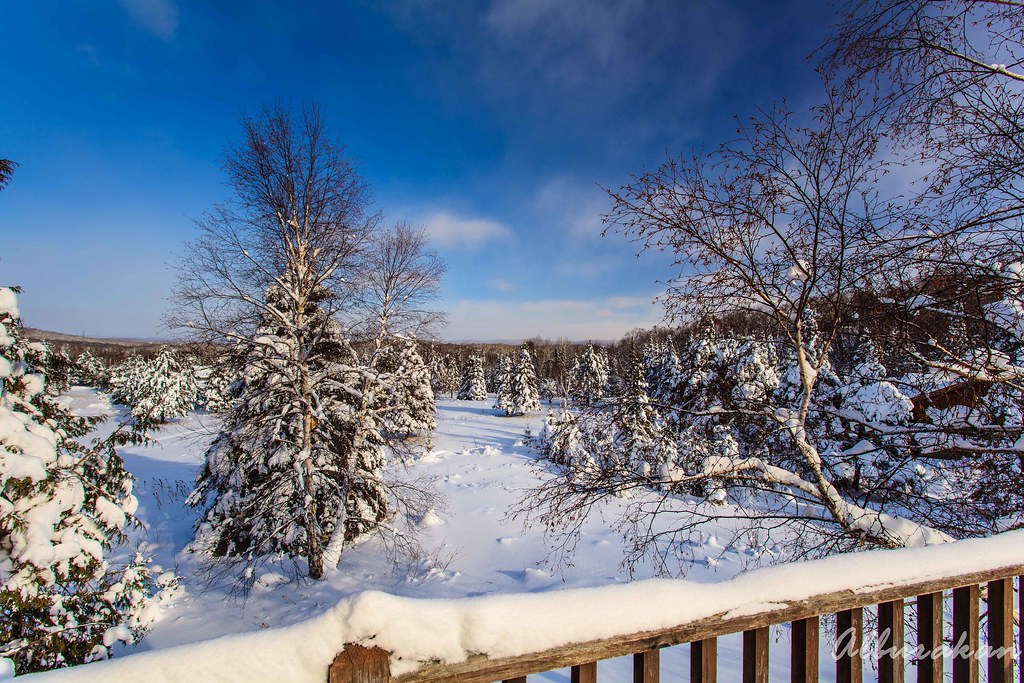
Another snow hat!

Rivière Rouge, La Macaza, Québec

Rivière Rouge 09
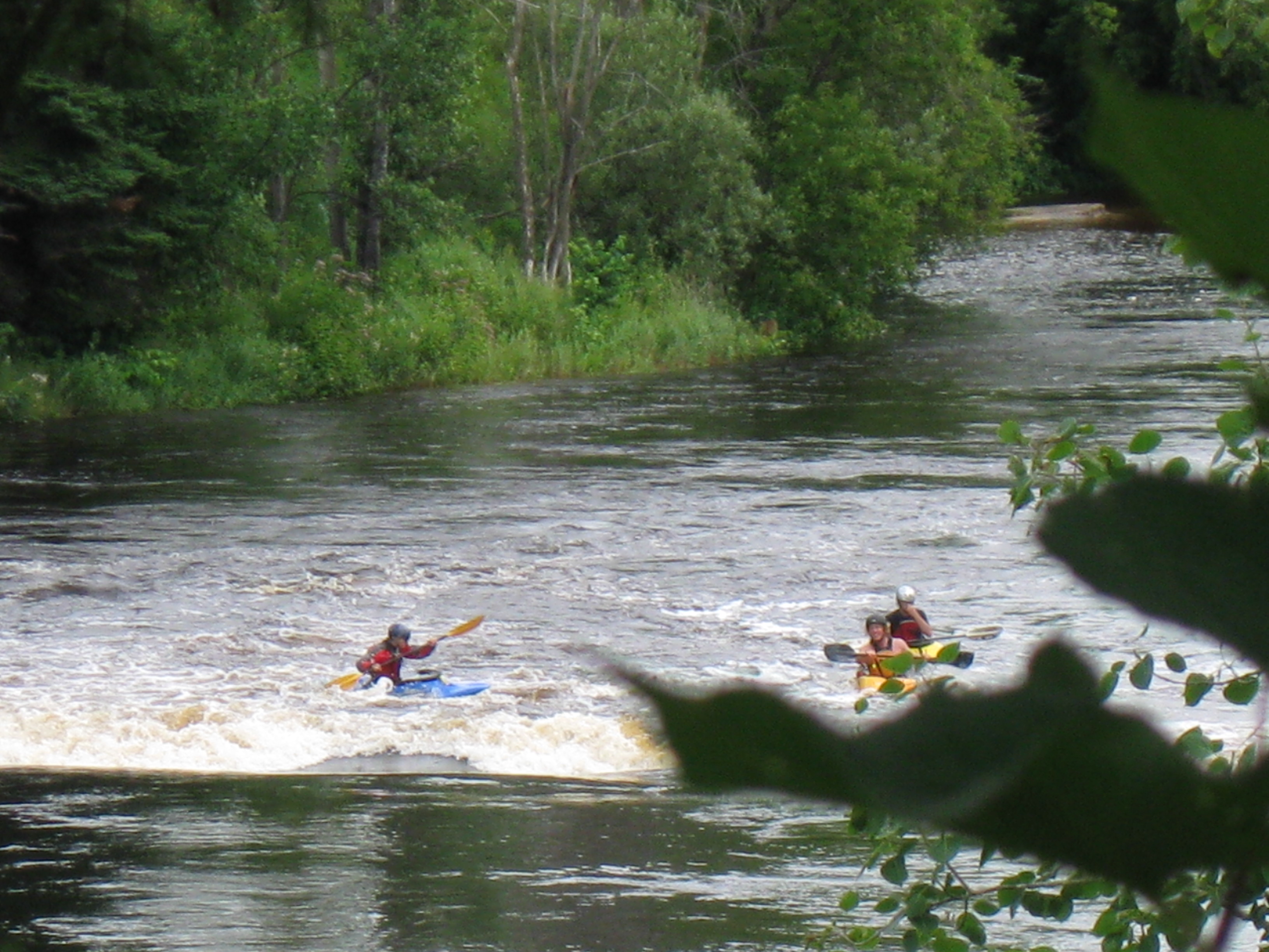
Up the rapides!

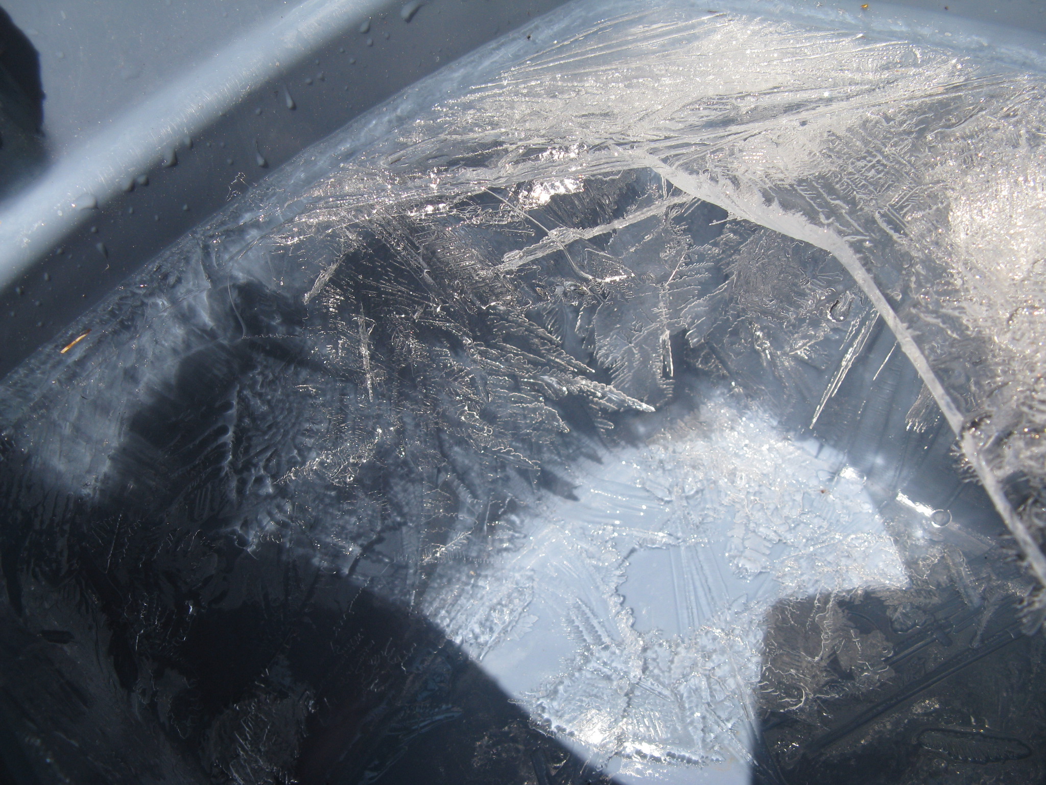
Icicles!
The big picture
Soleil et pluie en se rendant à la pêche 28 mai 2011

Pont Ferroviaire, La Macaza, Québec
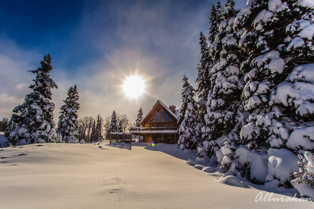
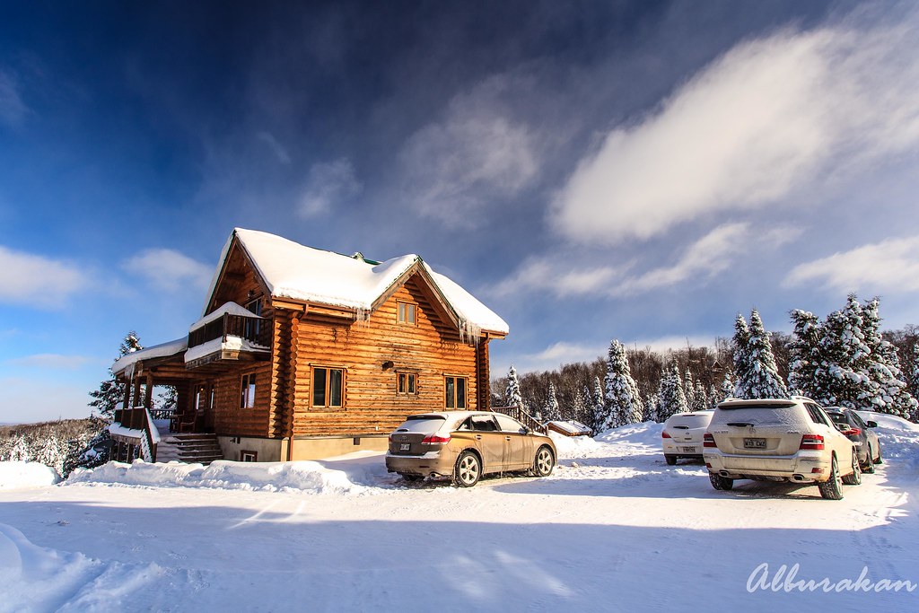
Our chalet :)
Mont Tremblant
Quebec Vacation 012
Topographic Map of Chemin du Lac Labelle, Labelle, QC J0T, Canada
Find elevation by address:

Places near Chemin du Lac Labelle, Labelle, QC J0T, Canada:
5466 Chemin De La Minerve
5466 Chemin De La Minerve
Chemin des Pionniers, La Minerve, QC J0T 1S0, Canada
La Petite-minerve
Labelle
La Gare Auberge Restaurant Bar
Village De Labelle
Montée Bergeron
La Conception
1860 Chemin De La Pointe Bourgeois
Ch Bois Francs O
Macaza Tremblant
La Macaza
La Minerve
Chemin des Chênes E, La Conception, QC J0T 1M0, Canada
1676 Chemin De La Rivière Maskinongé
Allée des Baumiers, Mont-Tremblant, QC J8E 1A2, Canada
Chemin de la Station, La Conception, QC J0T 1M0, Canada
Lac Macaza
La Macaza
Recent Searches:
- Elevation of Corso Fratelli Cairoli, 35, Macerata MC, Italy
- Elevation of Tallevast Rd, Sarasota, FL, USA
- Elevation of 4th St E, Sonoma, CA, USA
- Elevation of Black Hollow Rd, Pennsdale, PA, USA
- Elevation of Oakland Ave, Williamsport, PA, USA
- Elevation of Pedrógão Grande, Portugal
- Elevation of Klee Dr, Martinsburg, WV, USA
- Elevation of Via Roma, Pieranica CR, Italy
- Elevation of Tavkvetili Mountain, Georgia
- Elevation of Hartfords Bluff Cir, Mt Pleasant, SC, USA