Elevation of Chemin des Pionniers, La Minerve, QC J0T 1S0, Canada
Location: Canada > Québec > Les Laurentides Regional County Municipality > Labelle > La Petite-minerve >
Longitude: -74.837551
Latitude: 46.2982994
Elevation: 352m / 1155feet
Barometric Pressure: 97KPa
Elevation Map:
Satellite Map:
Related Photos:
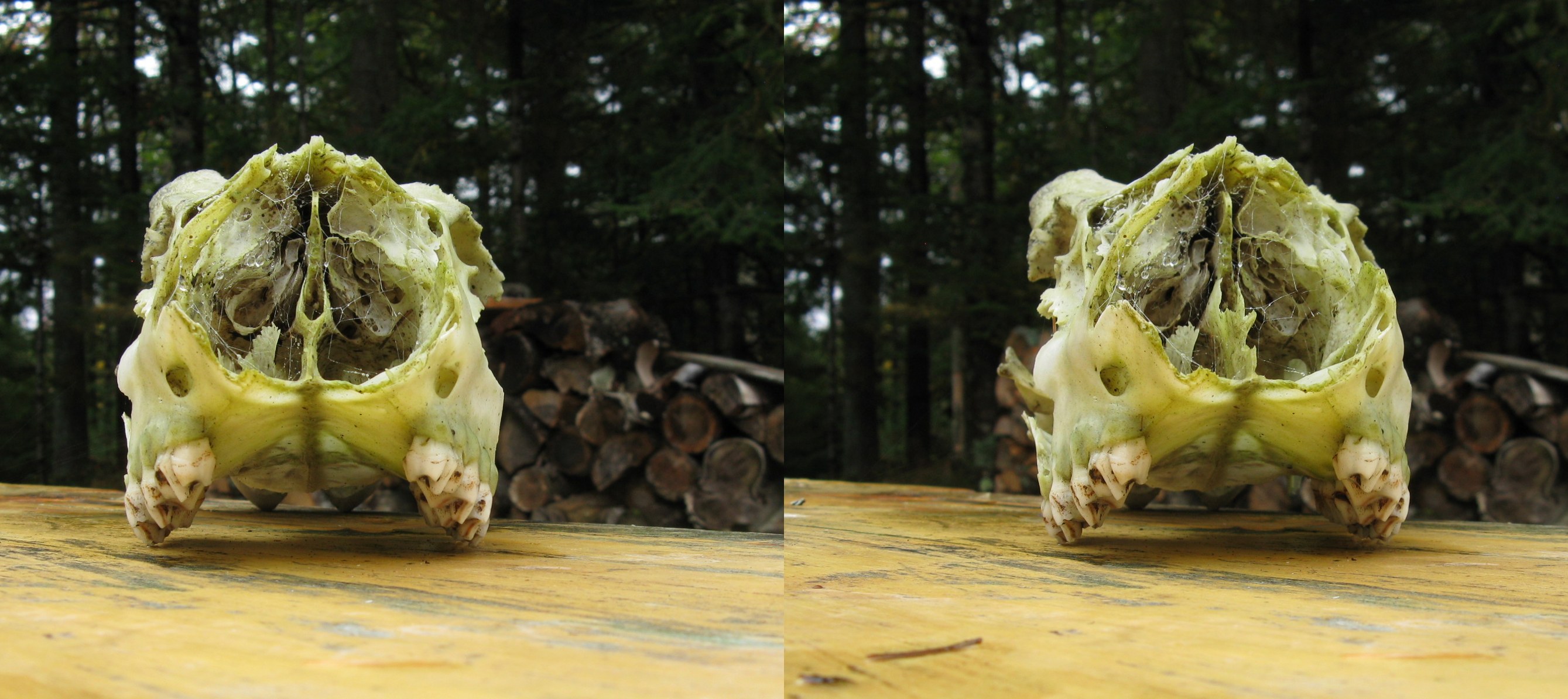
deer skull
view large
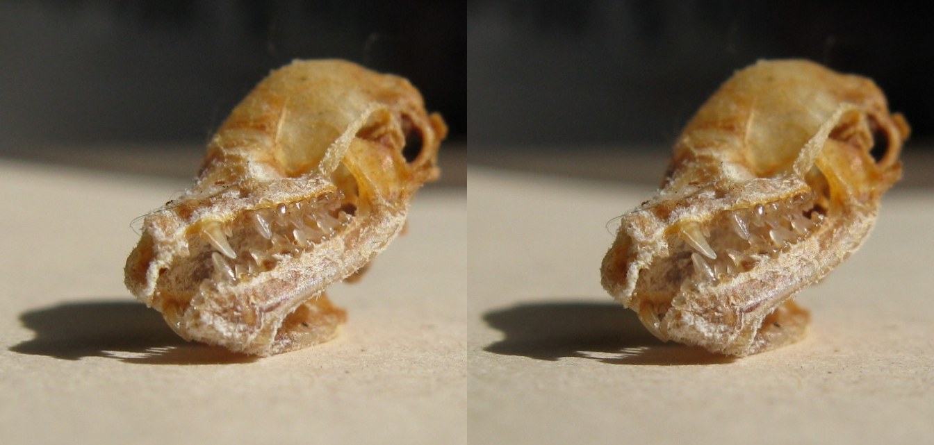
bat skull tipped
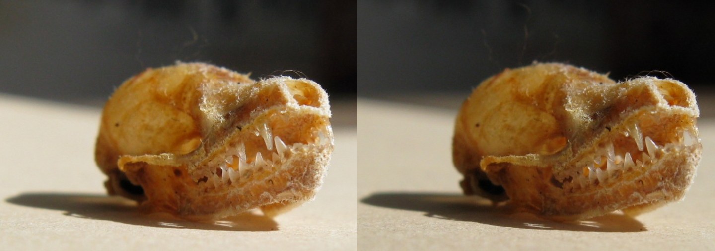
bat skull front
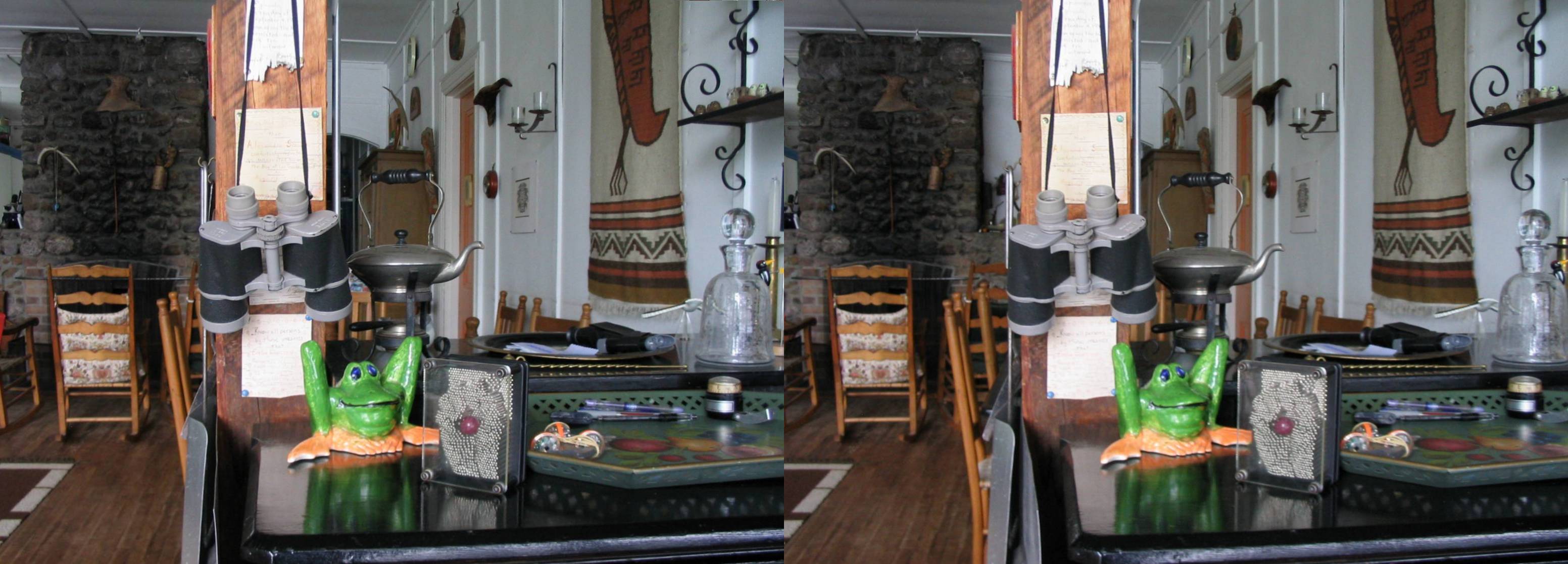
frog crosseye
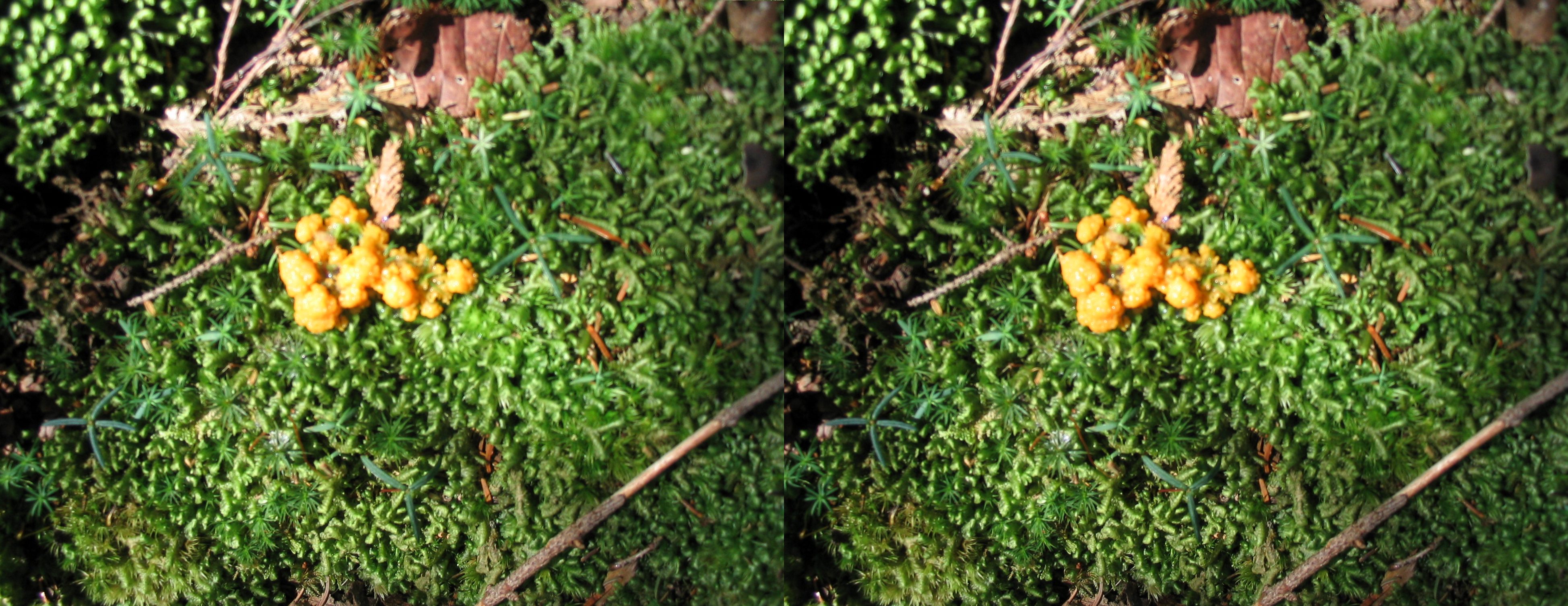
moss crosseye
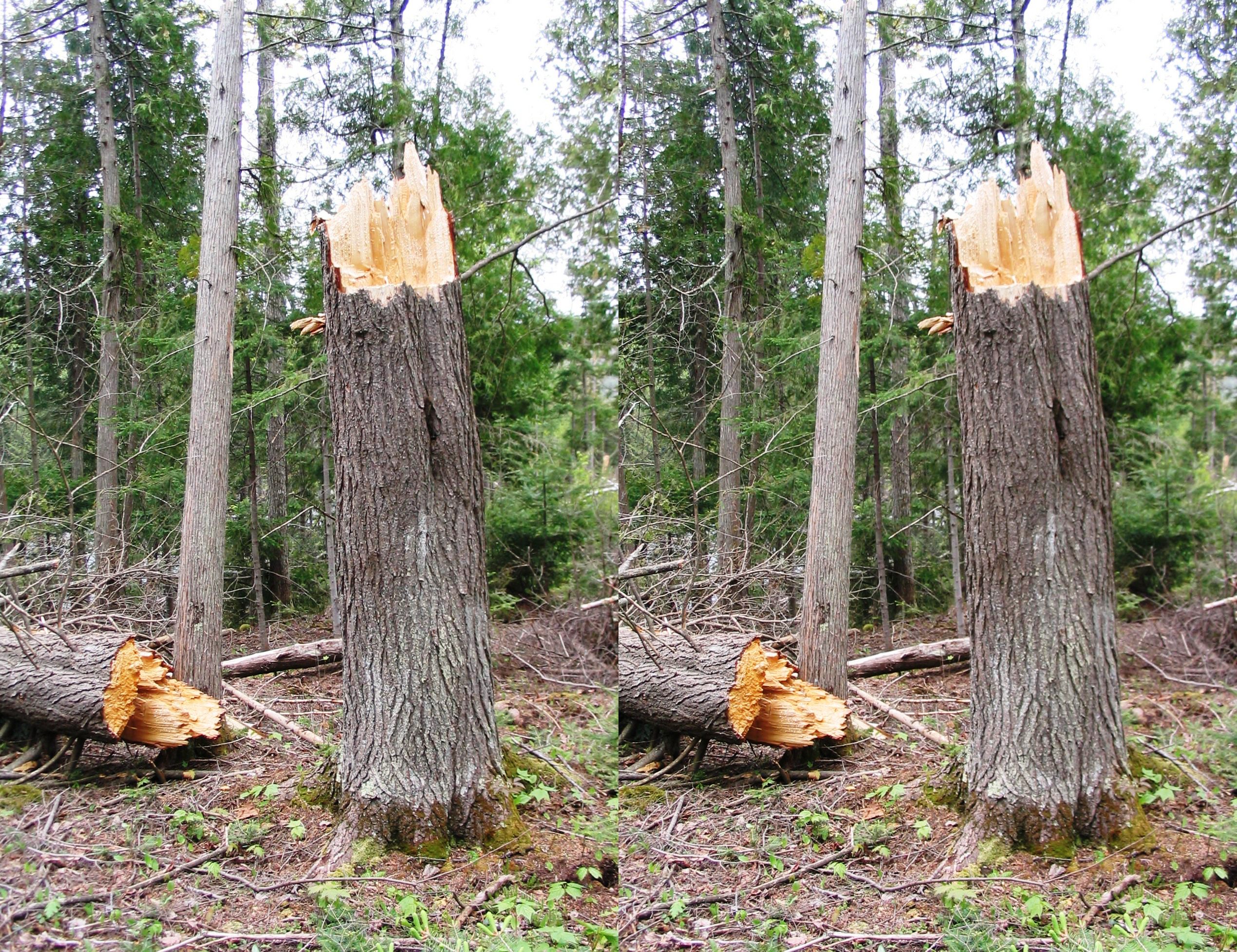
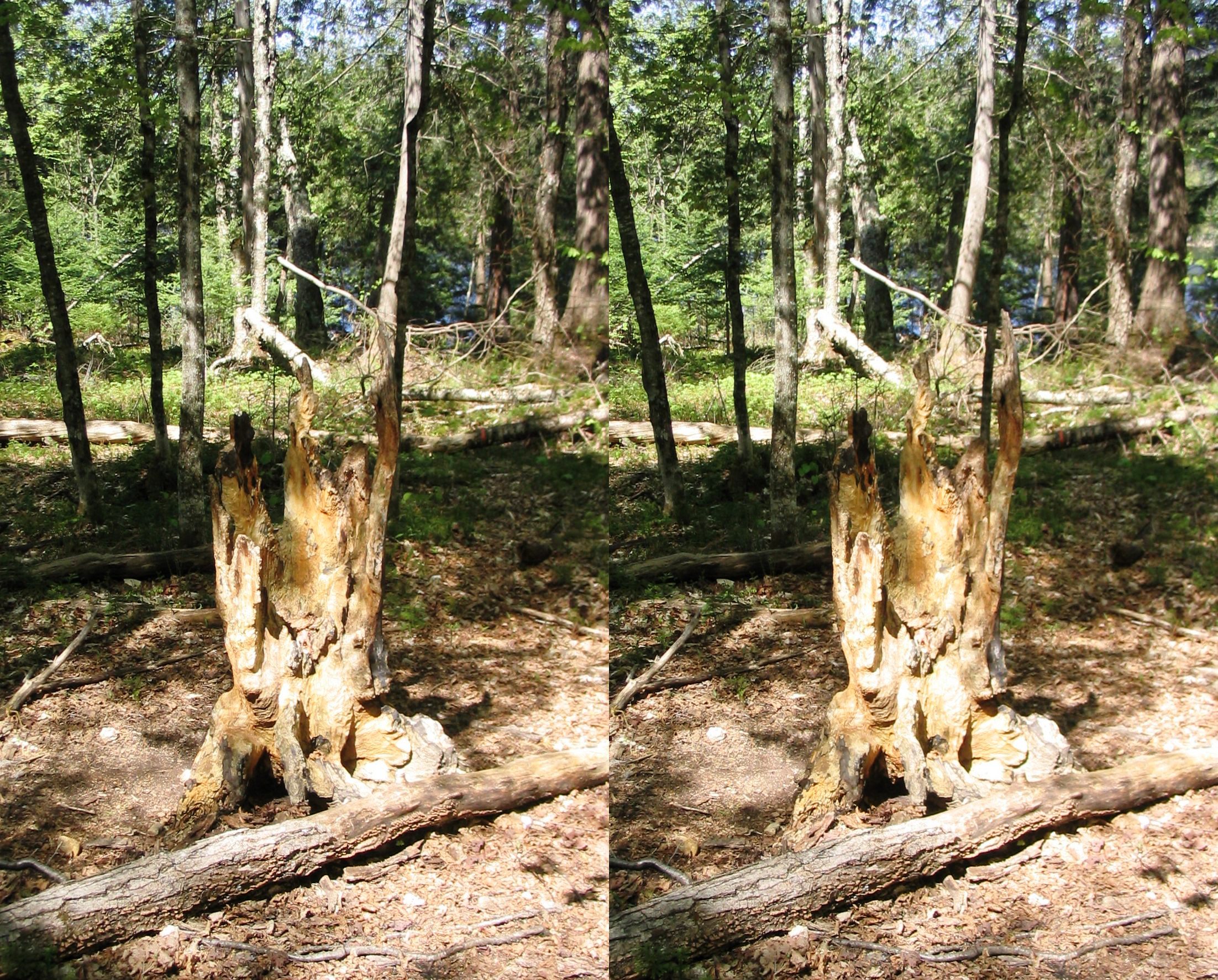
broken tree
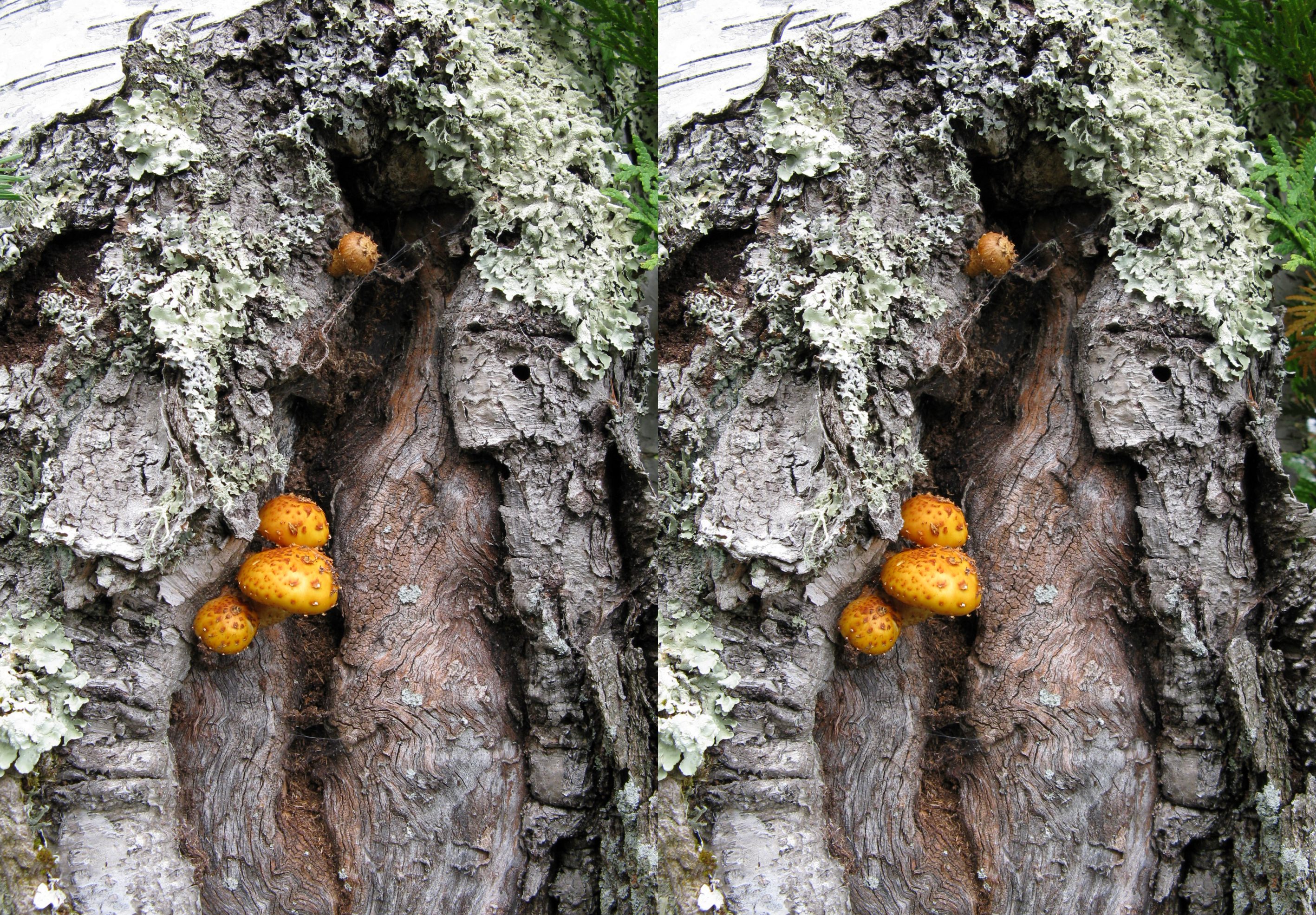
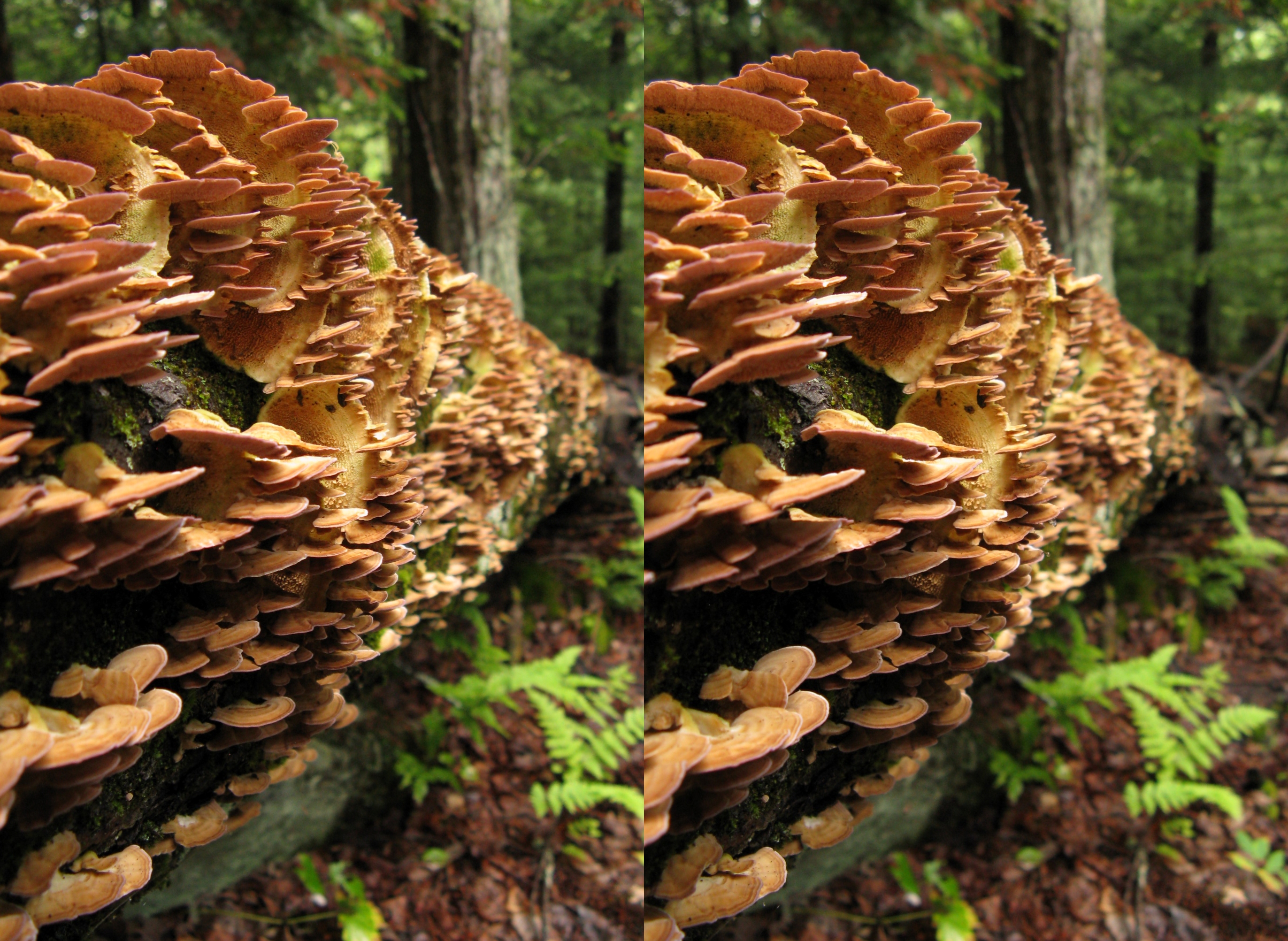
mushrooms on birch tree
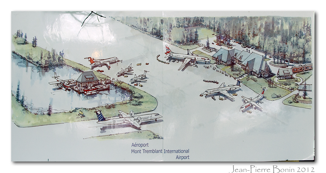
Vue d'artiste - Artist view
salt lick stump
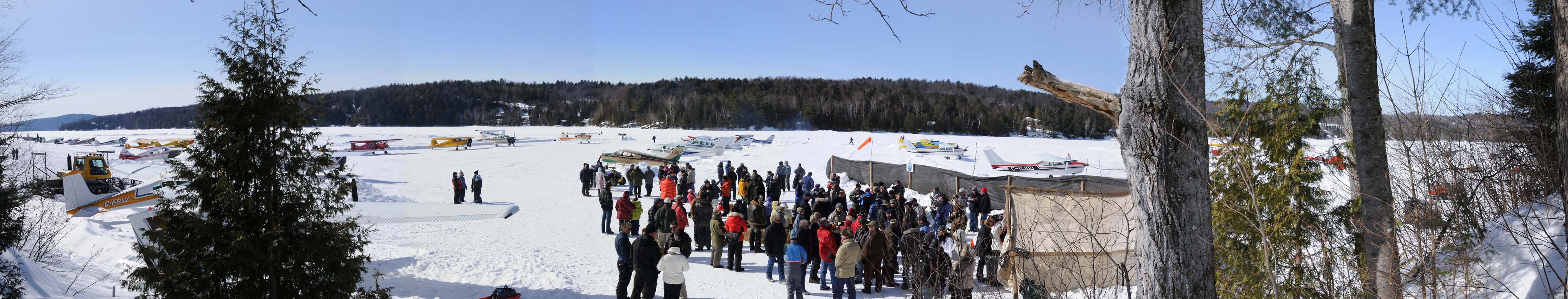
pano-site768 @ Lac Labelle 2mar08

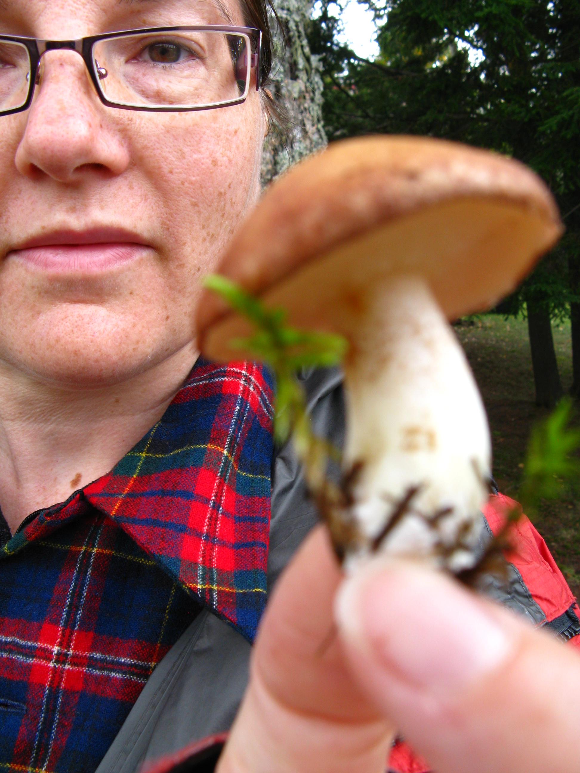
mushroom unknown foot

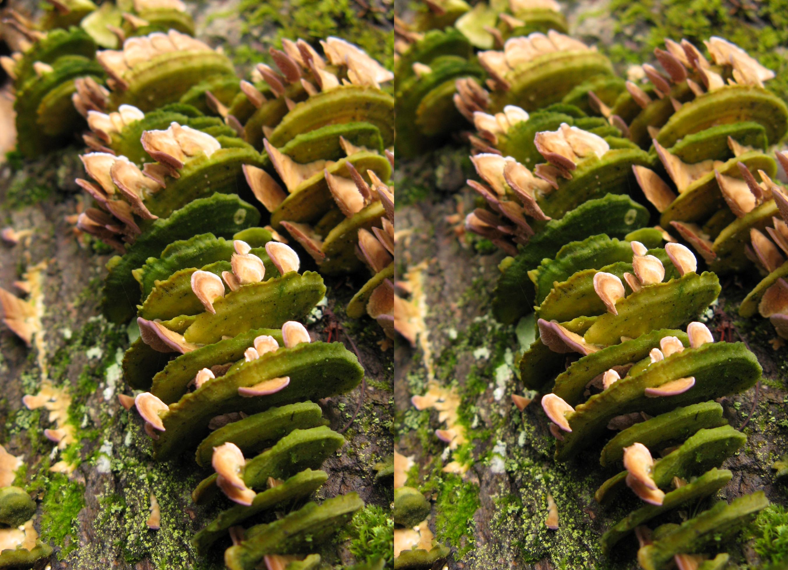
mini mushrooms 3D
your point of view.
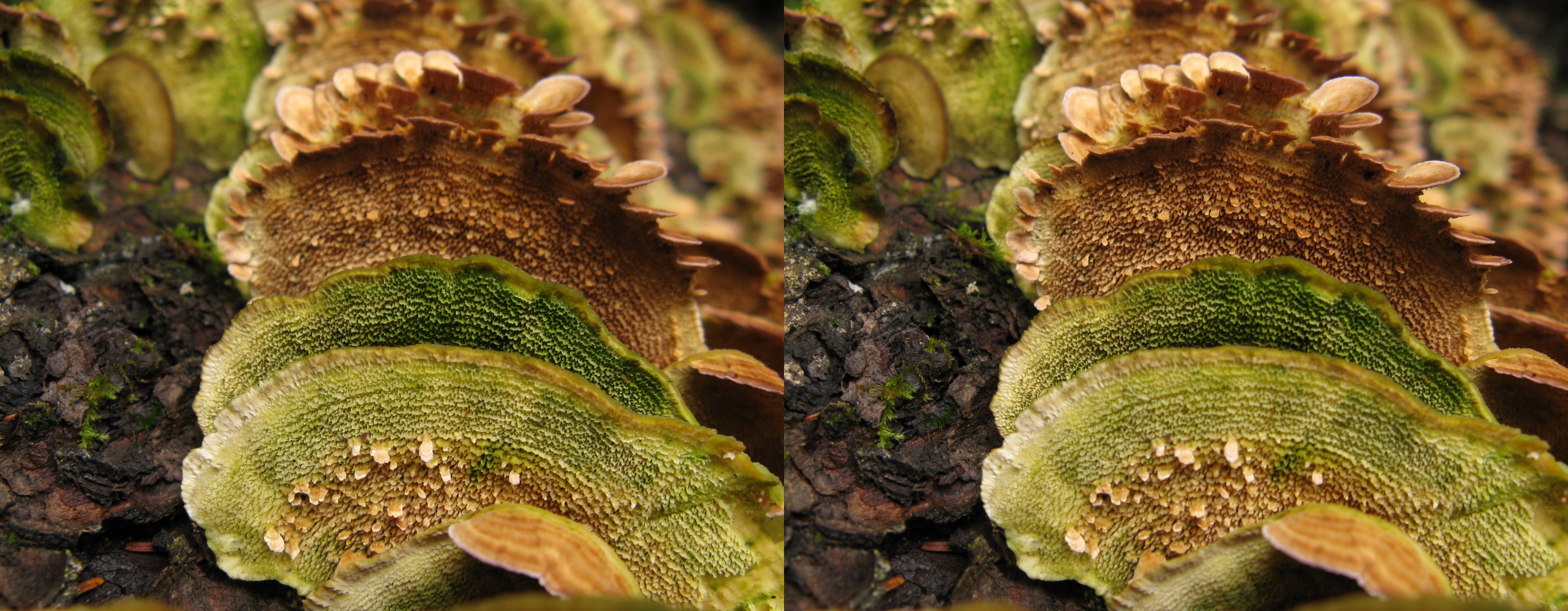
fungi rightangles 8
fungi rightangles 7
fungi rightangles 5
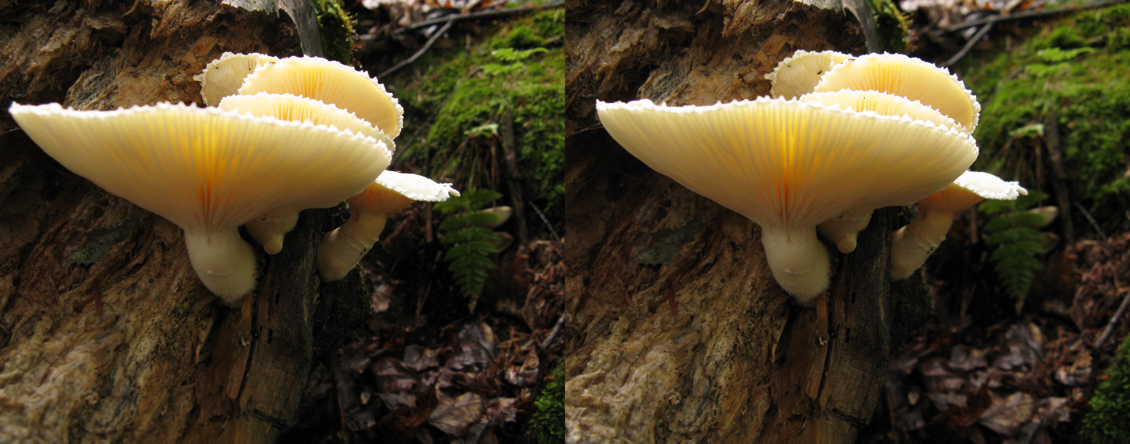
backlight mushrooms
Not too close to the edge without saftey ropes.
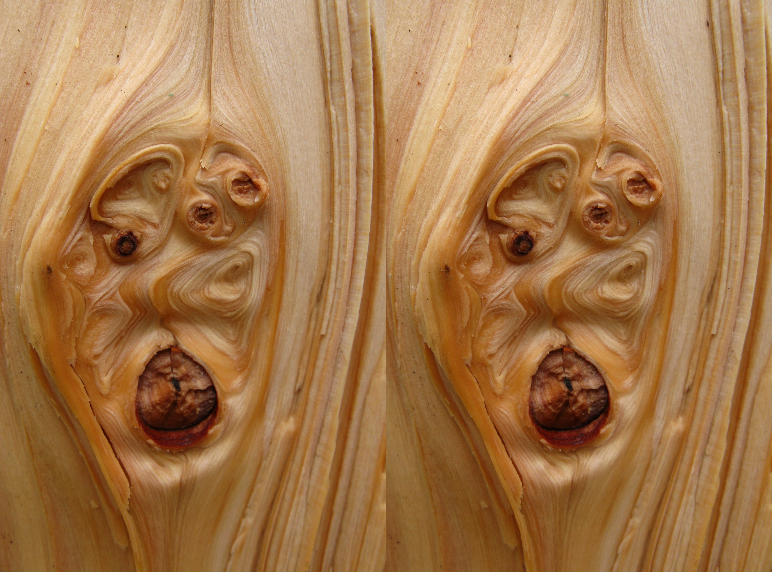
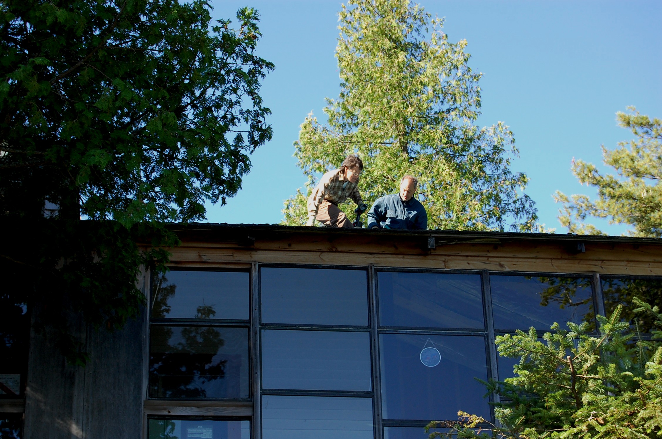
naughty wood
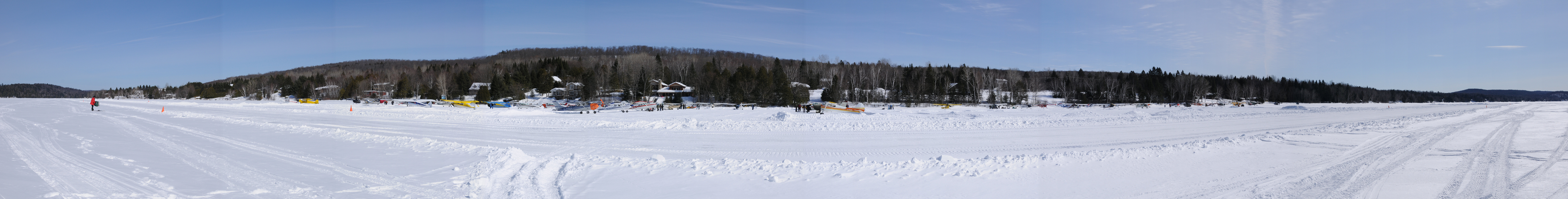
pano-piste768 @ Lac Labelle 2mar08
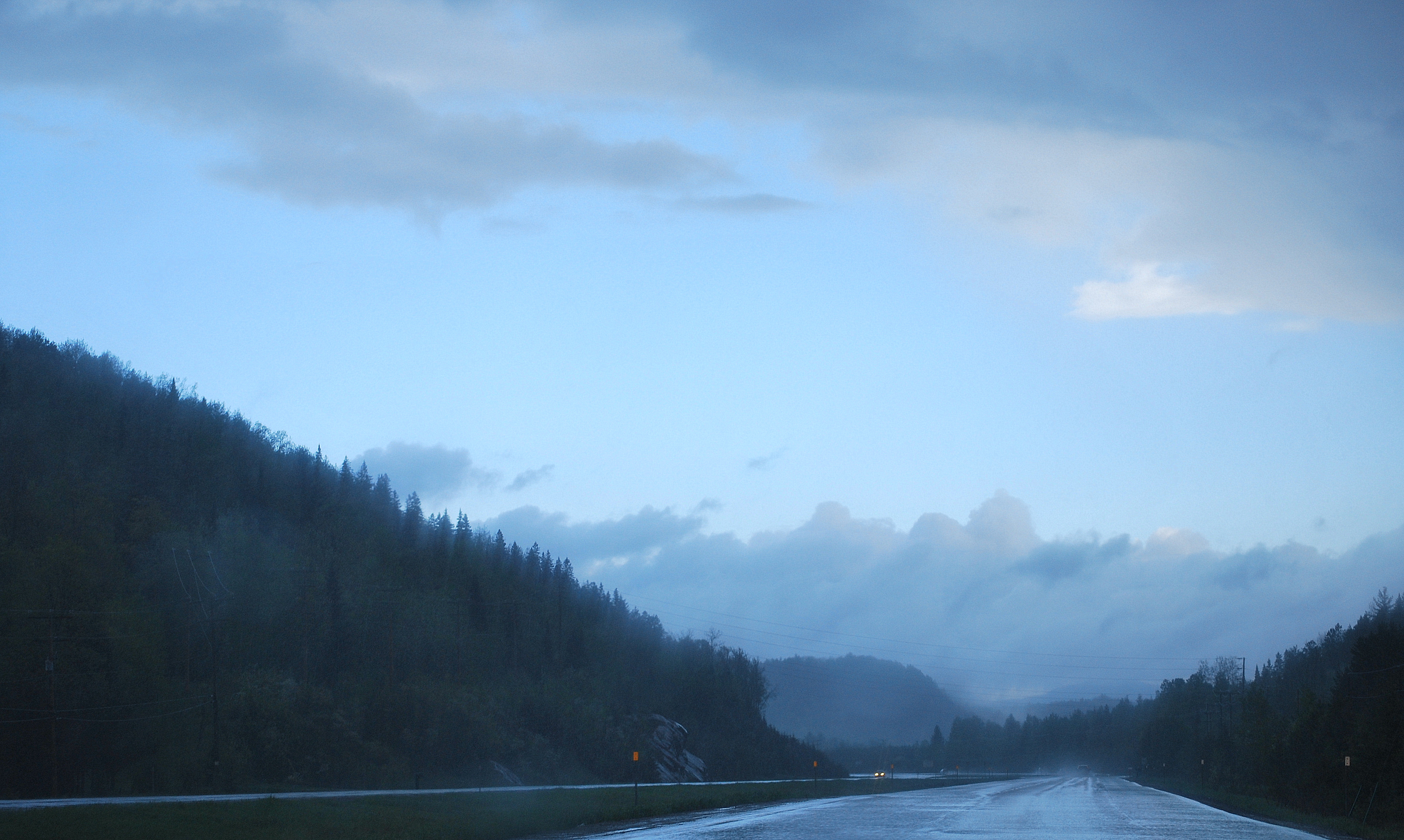
This Way to St-Jerome

Rivière Rouge, La Macaza, Québec

La Macaza, Québec
The cold Sun!!
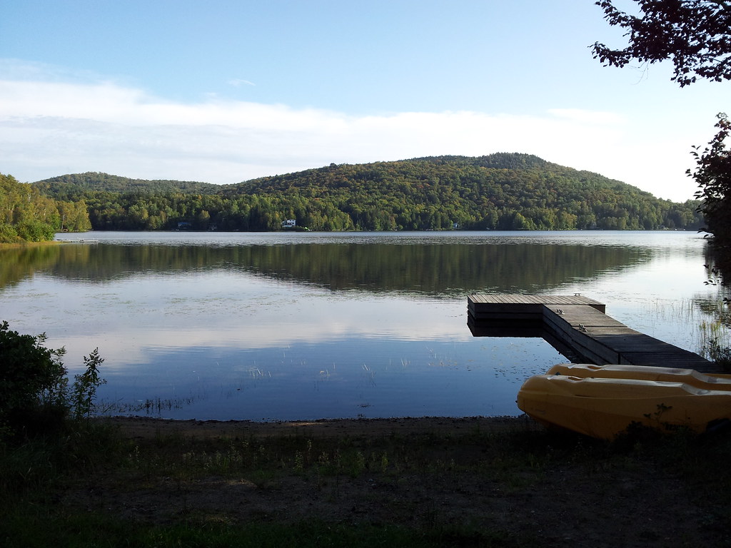
Le Lac Clair à La Macaza. 2013-09-11 17.06.47

Rivière Rouge, La Macaza, Québec
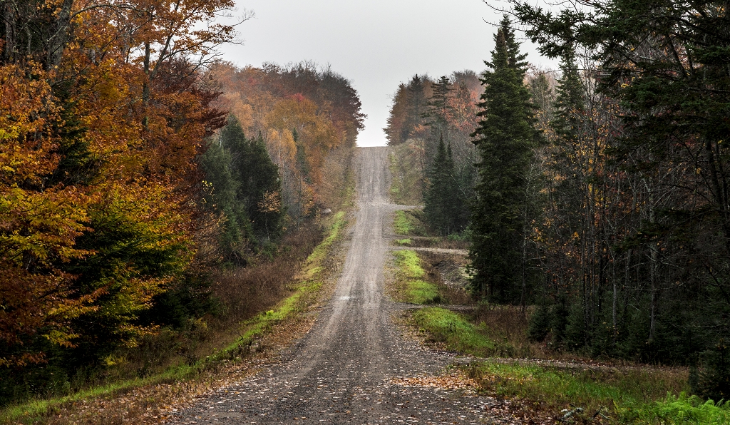
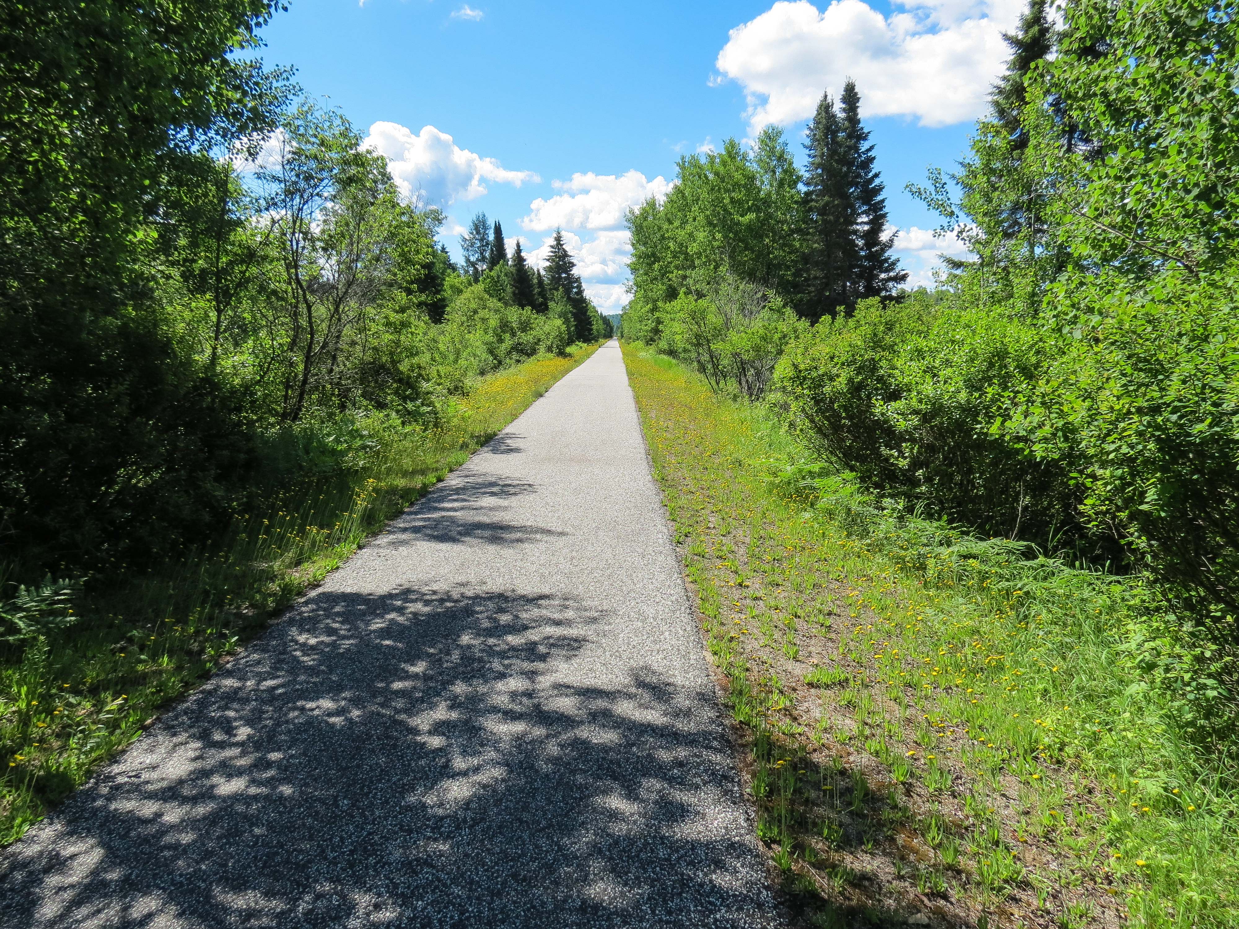
Le chemin

Pont Couvert, La Macaza, Québec
feels like -28°!!
A meter deep!
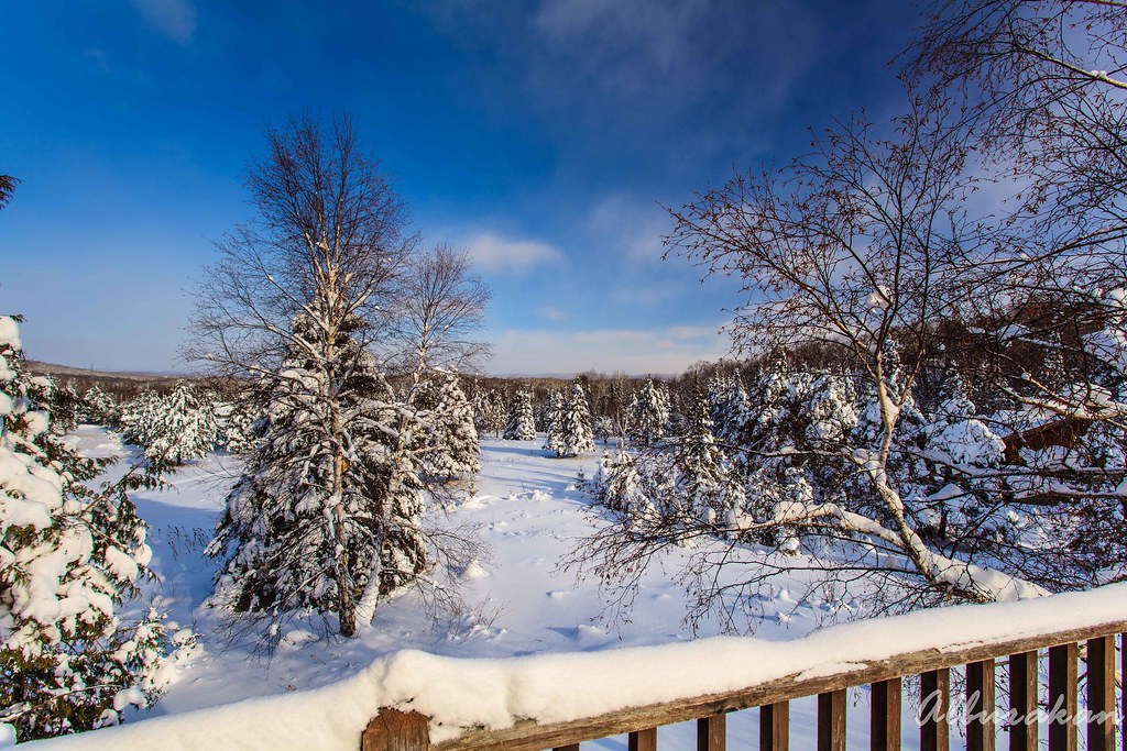
Another snow hat!

Snowing... we will wait it out at CYFJ - De la neige... on attendra à CYFJ DSC_5877 copie

Rivière Rouge, La Macaza, Québec

Rivière Rouge 09
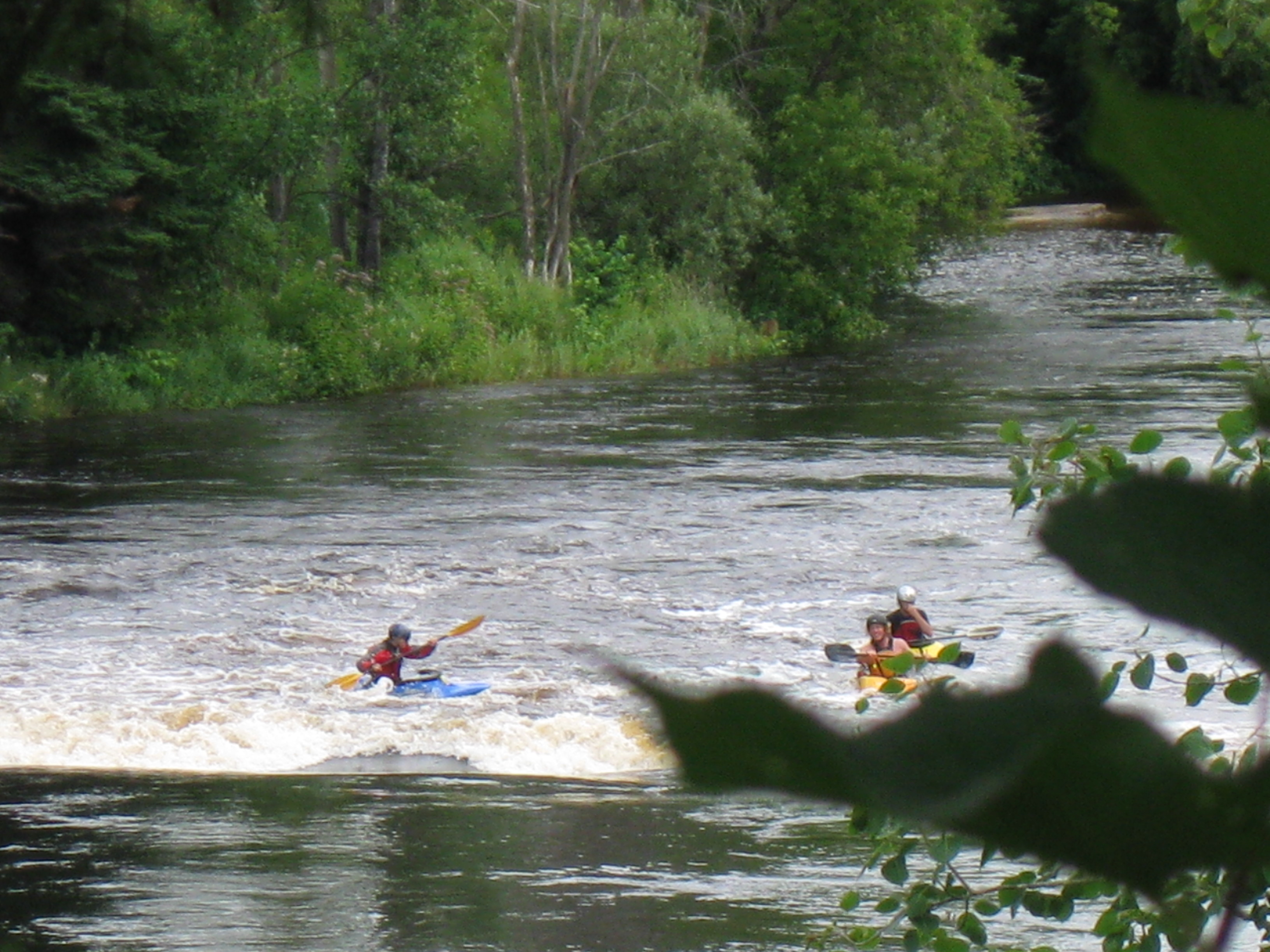
Up the rapides!

Icicles!
The big picture

Pont Ferroviaire, La Macaza, Québec
Soleil et pluie en se rendant à la pêche 28 mai 2011
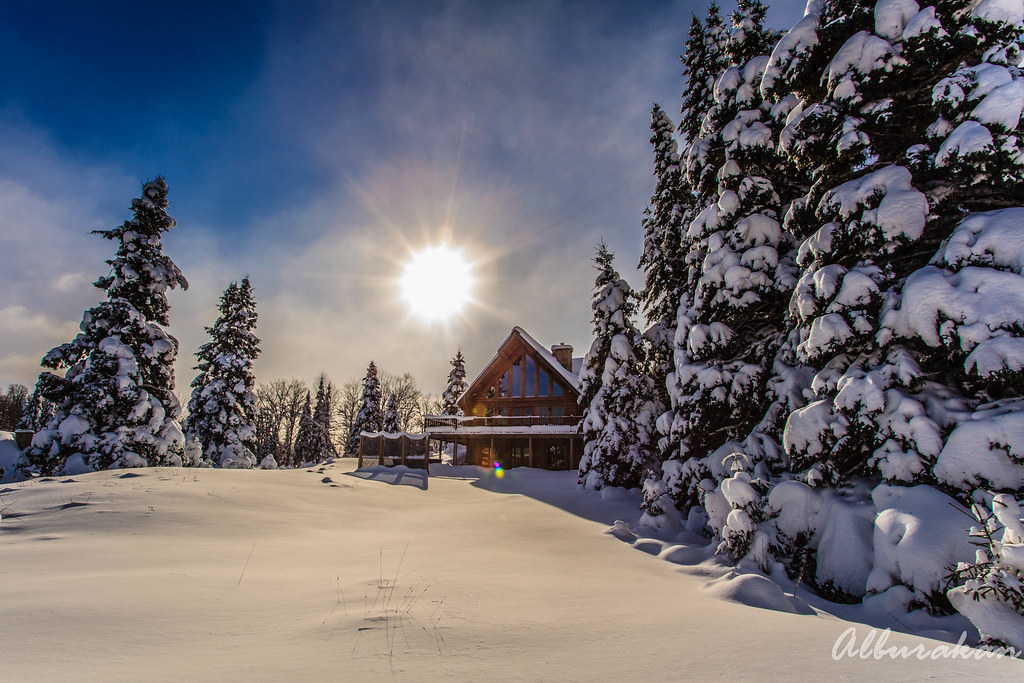
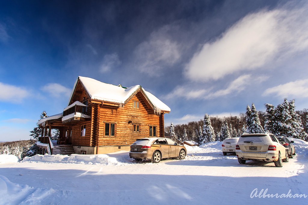
Our chalet :)
Topographic Map of Chemin des Pionniers, La Minerve, QC J0T 1S0, Canada
Find elevation by address:

Places near Chemin des Pionniers, La Minerve, QC J0T 1S0, Canada:
La Petite-minerve
5466 Chemin De La Minerve
5466 Chemin De La Minerve
Chemin du Lac Labelle, Labelle, QC J0T, Canada
Ch Bois Francs O
Montée Bergeron
Labelle
La Macaza
La Gare Auberge Restaurant Bar
Village De Labelle
La Minerve
Macaza Tremblant
Chemin Du Lac Boileau Ouest
Chemin De La Rive
Lac Macaza
La Macaza
Chemin Daigneault Nord
Lac Blanc
1676 Chemin De La Rivière Maskinongé
212 Chemin Vetter
Recent Searches:
- Elevation of Corso Fratelli Cairoli, 35, Macerata MC, Italy
- Elevation of Tallevast Rd, Sarasota, FL, USA
- Elevation of 4th St E, Sonoma, CA, USA
- Elevation of Black Hollow Rd, Pennsdale, PA, USA
- Elevation of Oakland Ave, Williamsport, PA, USA
- Elevation of Pedrógão Grande, Portugal
- Elevation of Klee Dr, Martinsburg, WV, USA
- Elevation of Via Roma, Pieranica CR, Italy
- Elevation of Tavkvetili Mountain, Georgia
- Elevation of Hartfords Bluff Cir, Mt Pleasant, SC, USA