Elevation of Charleston, WV, USA

Location: United States > West Virginia > Kanawha County > >

Longitude: -81.598024

Latitude: 38.3883739

Elevation: 220m / 722feet

Barometric Pressure: 99KPa

Elevation Map:

elevation map of Charleston, WV, USA

Satellite Map:

Satellite map of Charleston, WV, USA

Related Photos:

morning blue trees sunshine fog clouds photoshop purple digitalart foggy silhouettes hills powerlines westvirginia allrightsreserved photoshop70 vaportrail utilitypoles hazymorning midnightmoonlight rcvernors southcharlestonwv rickchilders copyright2010
Midnight Moonlight
blue trees winter snow cold reflection green art ice night lens geotagged frozen artwork digitalart computerart flare allrightsreserved photoshopart rcvernors altereduniverse anawesomeshot copyright©rchildersallrightsreservedusewithoutpermissionisillegal
Wonderful Wintertime
trees snow art photoshop altered fence lens geotagged space parking digitalart chain company vehicles link computerart only flare modified allrightsreserved photoshopart rcvernors altereduniverse copyright©rchildersallrightsreservedusewithoutpermissionisillegal
Industrial Illumination
canon photoshoot parkinggarage charleston wv tc scion picnik
2008 Scion TC picnik'd
canon photoshoot parkinggarage charleston wv tc scion
2008 Scion TC - front view
flowers blue red green yellow altered geotagged digitalart odd computerart modified tweaked petunias enhanced allrightsreserved photoshopart recolored rcvernors
Bed of color
canon photoshoot parkinggarage charleston wv tc scion
2008 Scion TC - side view
canon photoshoot parkinggarage charleston wv tc scion
2008 Scion TC - side view closer
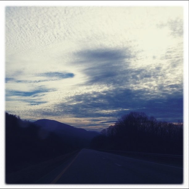
blue autumn trees sky sun white nature beautiful sunshine clouds geotagged pretty bright vivid bluesky sharp wv westvirginia puffy mothernature wildwonderfulwestvirginia rcvernors
Early-autumn sky
View from a Cemetery
valencia square squareformat iphoneography instagramapp uploaded:by=instagram foursquare:venue=4d117737396ba0939237ceb2
Nice view!
bridge orange reflection car photoshop geotagged fire glare purple steel digitalart explosion computerart structural allrightsreserved exodus photoshopart rcvernors altereduniverse
Getting the heck out of Dodge!
Sneaky Roof View
building altered wv westvirginia government inverted capitolbuilding charlestonwv statecapitolbuilding stategovernment rcvernors altereduniverse wvcapitol statecapitolcomplex rickchilders wvstatecapitolbuilding thelotipac
The Lotipac
uploaded:by=flicksquare foursquare:venue=4b6191baf964a5201c182ae3 geo:lat=383513189 geo:lon=816281681
Mountain View
light shadow red usa white sunshine photoshop altered truck fire bright flag digitalart flags hose firetruck wv westvirginia computerart ladder enhanced allrightsreserved photoshopart rcvernors southcharleston altereduniverse engine653 southcharlestonfiredepartment
Fire Truck On A Hot Day
architecture gold nikon raw nef potd capitol westvirginia dome fx goldenhour charlestonwv cs4 nikkor70300vr d700 nikonfx
Gold...
charleston westvirginia capitolbuildings
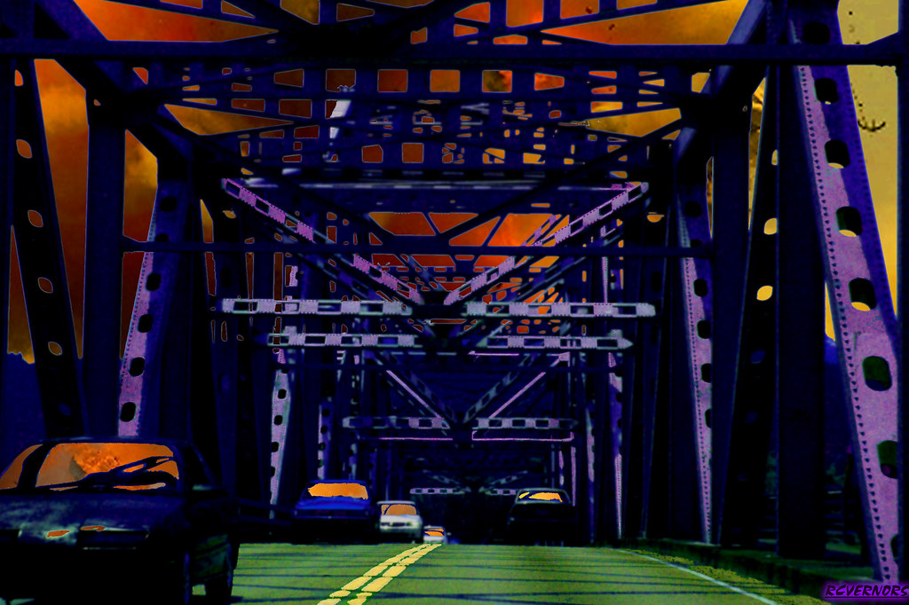
Night view on the riverside
autumnleaves charleston westvirginia capitolbuildings
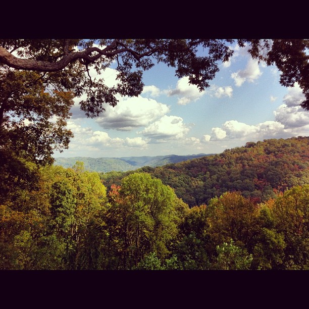
View through the trees
summer reflections july charleston westvirginia 2014 statecapitols riversandstreams canon70200l greatskies nrhp kanawhariver kanawhacounty westvirginiacapitol bridgesnotcovered july2014
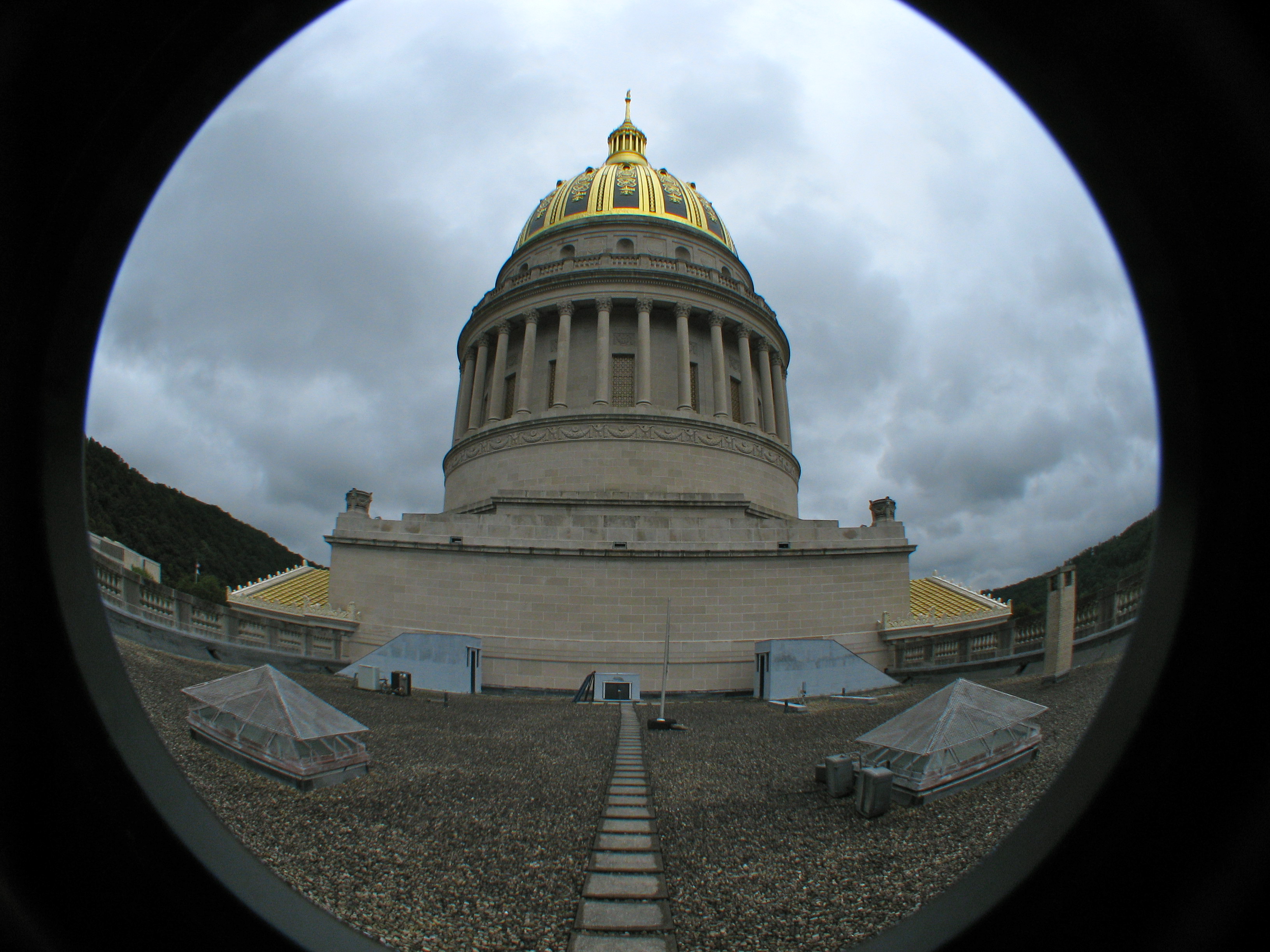
West Virginia Capitol from Daniel Boone Park
architecture geotagged gold nikon raw nef capitol westvirginia dome statecapitol goldenhour charlestonwv cs4 sigma1224 d700 pse8
Aglow...