Elevation of 4, WV, USA
Location: United States > West Virginia > Kanawha County >
Longitude: -81.471838
Latitude: 38.4680341
Elevation: 261m / 856feet
Barometric Pressure: 98KPa
Elevation Map:
Satellite Map:
Related Photos:
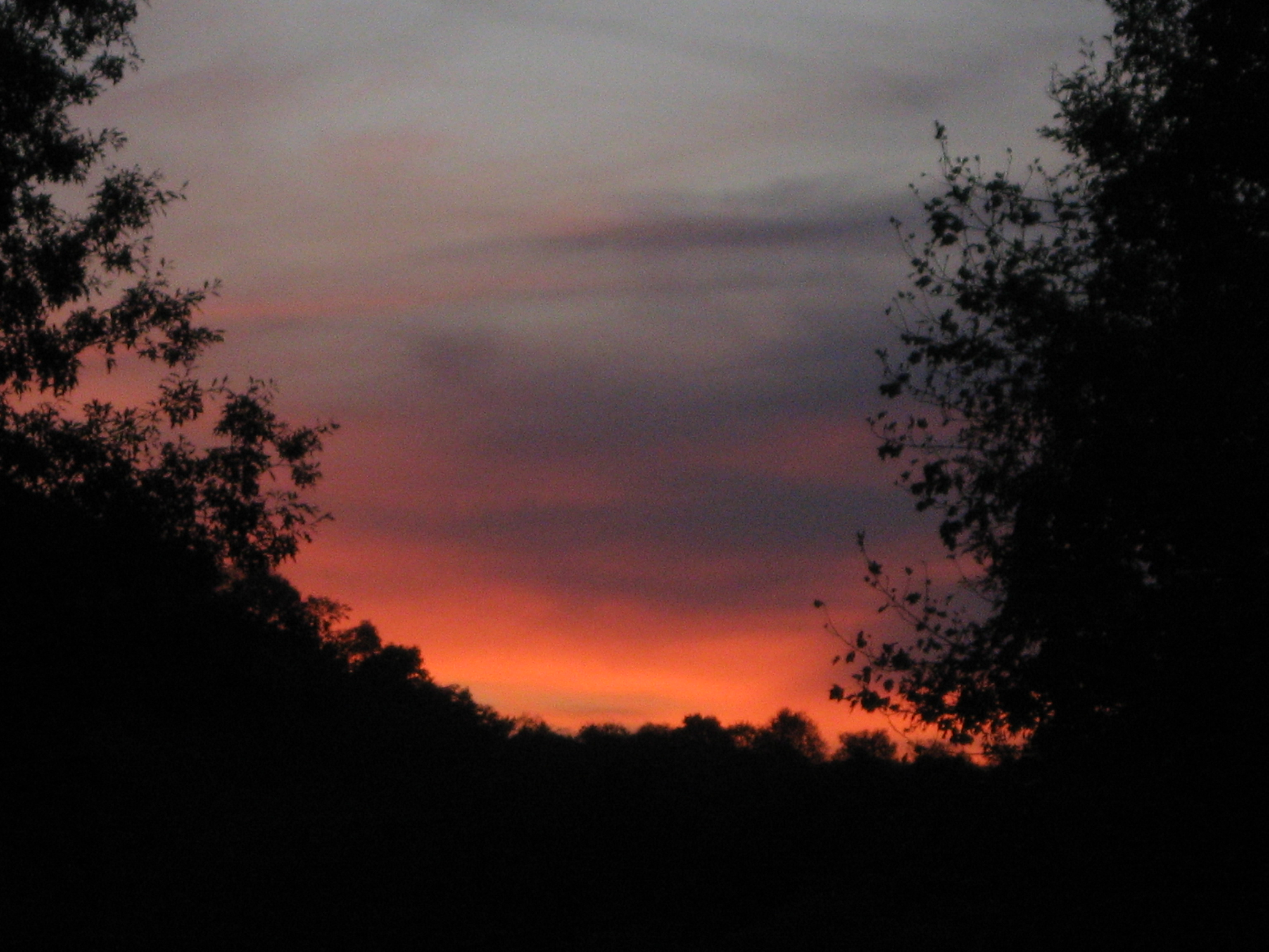
sunset 1

Eden's Fork

Modern Sporran - Front

Modern Sporran - Back

First to view
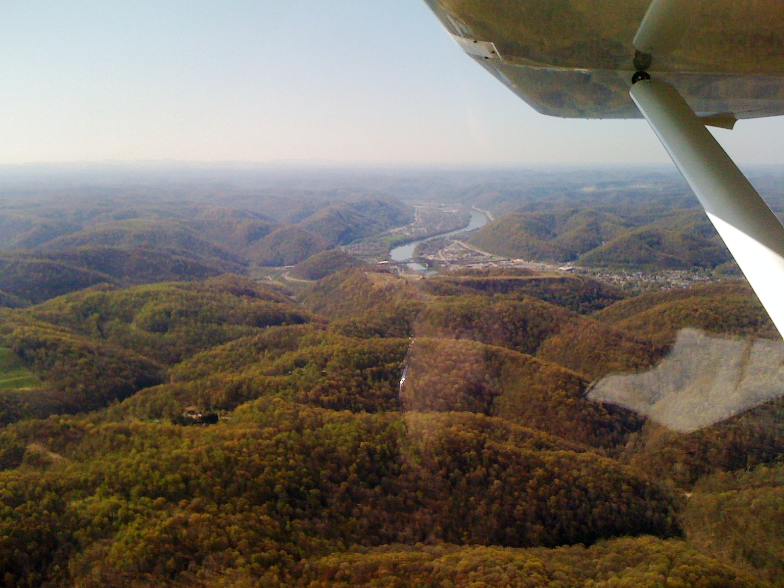
Day 3 of the trip 088
Day 3 of the trip 319
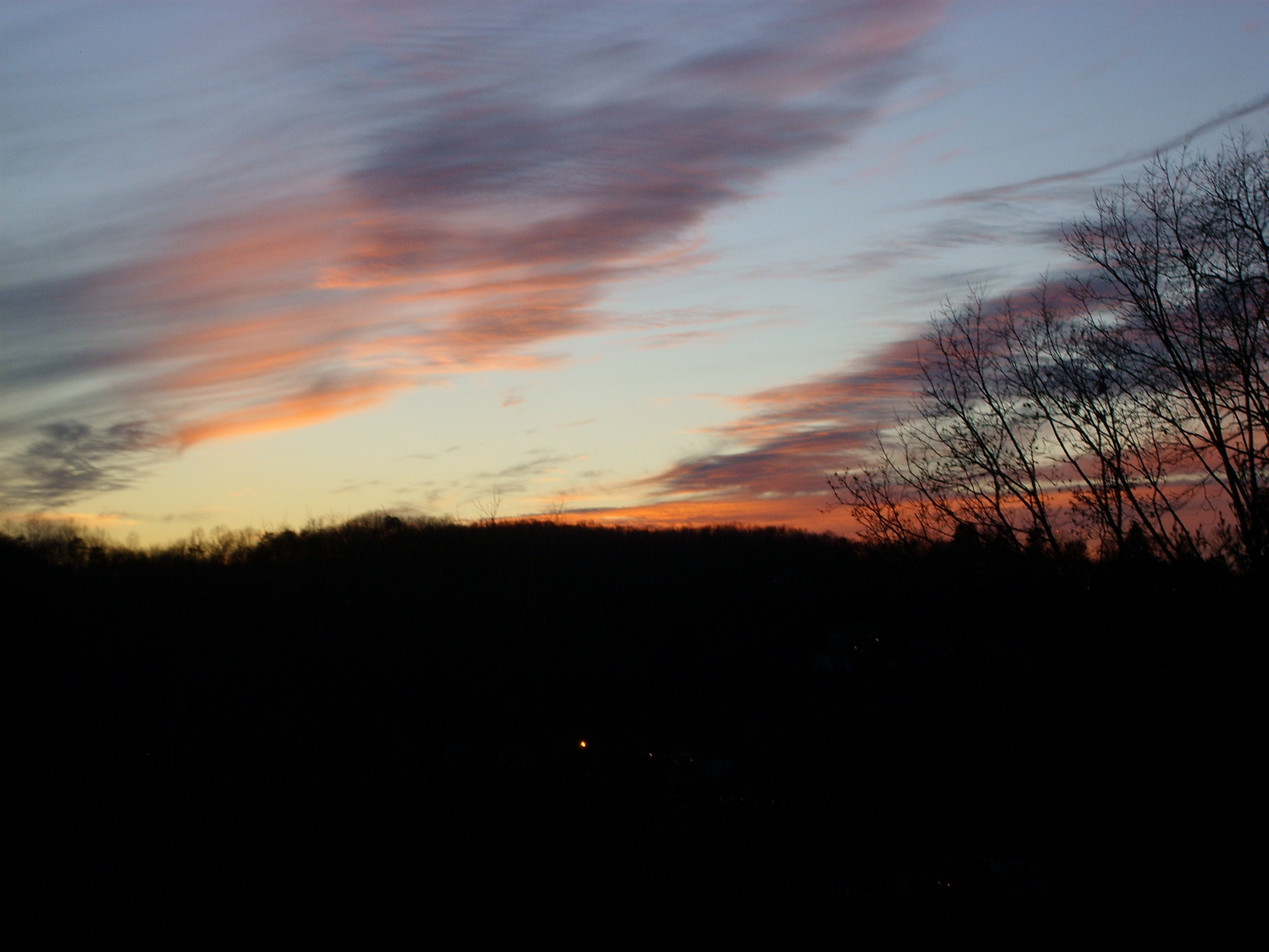
Christmas Eve Sunset

coming down the trail
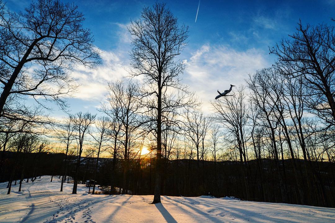
#sunset in #coonskin #park #charleston #wv #airplane #tree #landscape #snow
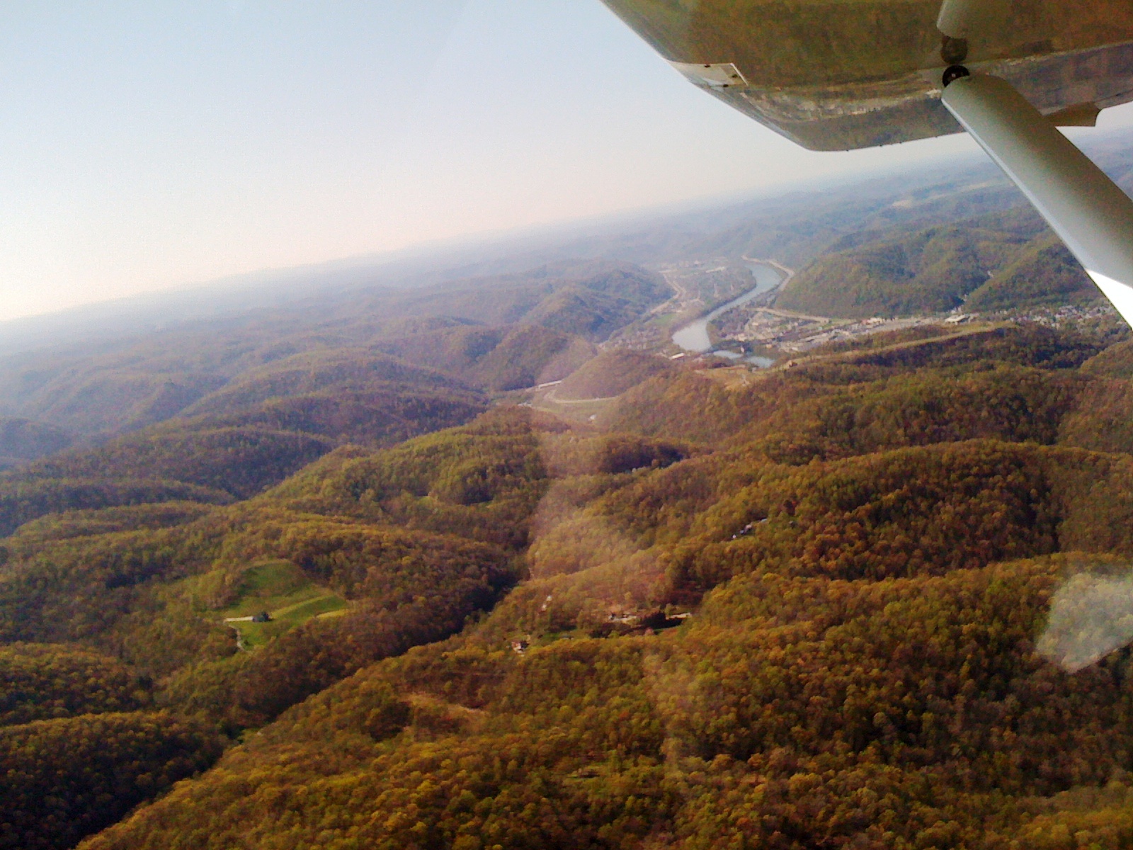
Day 3 of the trip 262

Waiting out the rain

Moth in bloom
Day 3 of the trip 100

Bridge 977-08

Bridge 975-25
Wishing for Spring
Bye WV! First leg: #Charlotte #crw

Bridge 977-07
Day 3 of the trip 071
A Clearing In the Path

Day 3 of the trip 116
Day 3 of the trip 068
Day 3 of the trip 087

Bridge 984-12

Bridge 975-38
Topographic Map of 4, WV, USA
Find elevation by address:

Places in 4, WV, USA:
Clendenin
Sissonville
Elkview
22 Arney Dr, Charleston, WV, USA
18 Keystone Dr, Charleston, WV, USA
Rutledge Rd, Charleston, WV, USA
Poca River Rd, Charleston, WV, USA
Charleston, WV, USA
Frame
Places near 4, WV, USA:
Frame
Elkview
7771 Frame Rd
2002 Shawnee Ct
Pentacre Rd, Elkview, WV, USA
Poca River Rd, Charleston, WV, USA
Hurricane Road
Goose Creek Road
Kettle
Long Ridge Rd, Walton, WV, USA
Rutledge Rd, Charleston, WV, USA
Clendenin
62 Dons Dr
78 Dons Dr
4107 Dutch Ridge Rd
5474 Rutledge Rd
Dutch Ridge Rd, Clendenin, WV, USA
Valley Grove Road
Rock Creek Road
Rock Creek Road
Recent Searches:
- Elevation of Corso Fratelli Cairoli, 35, Macerata MC, Italy
- Elevation of Tallevast Rd, Sarasota, FL, USA
- Elevation of 4th St E, Sonoma, CA, USA
- Elevation of Black Hollow Rd, Pennsdale, PA, USA
- Elevation of Oakland Ave, Williamsport, PA, USA
- Elevation of Pedrógão Grande, Portugal
- Elevation of Klee Dr, Martinsburg, WV, USA
- Elevation of Via Roma, Pieranica CR, Italy
- Elevation of Tavkvetili Mountain, Georgia
- Elevation of Hartfords Bluff Cir, Mt Pleasant, SC, USA