Elevation of Chancery Cir, Medford, OR, USA
Location: United States > Oregon > Jackson County > Medford >
Longitude: -122.83658
Latitude: 42.352316
Elevation: 455m / 1493feet
Barometric Pressure: 96KPa
Elevation Map:
Satellite Map:
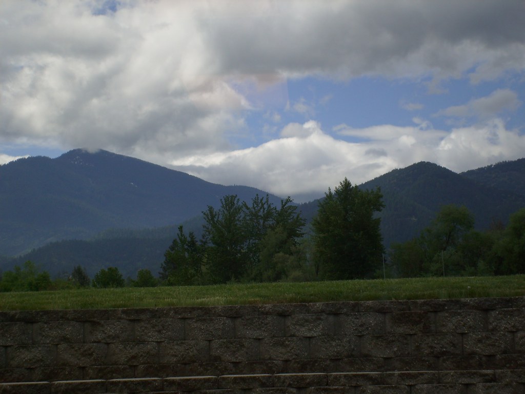
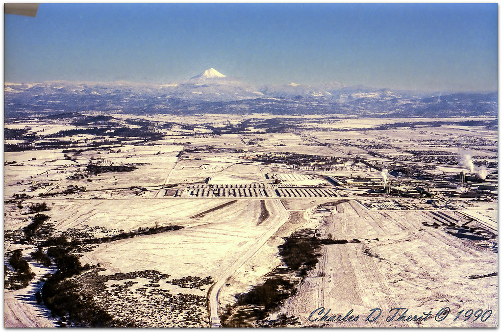
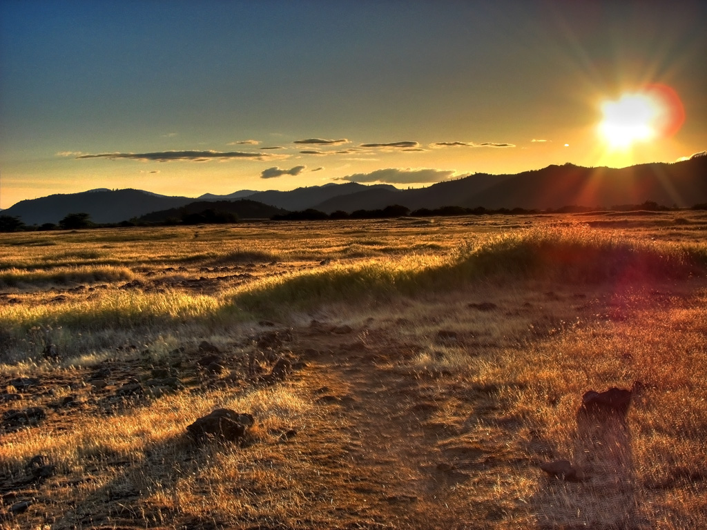
Related Photos:
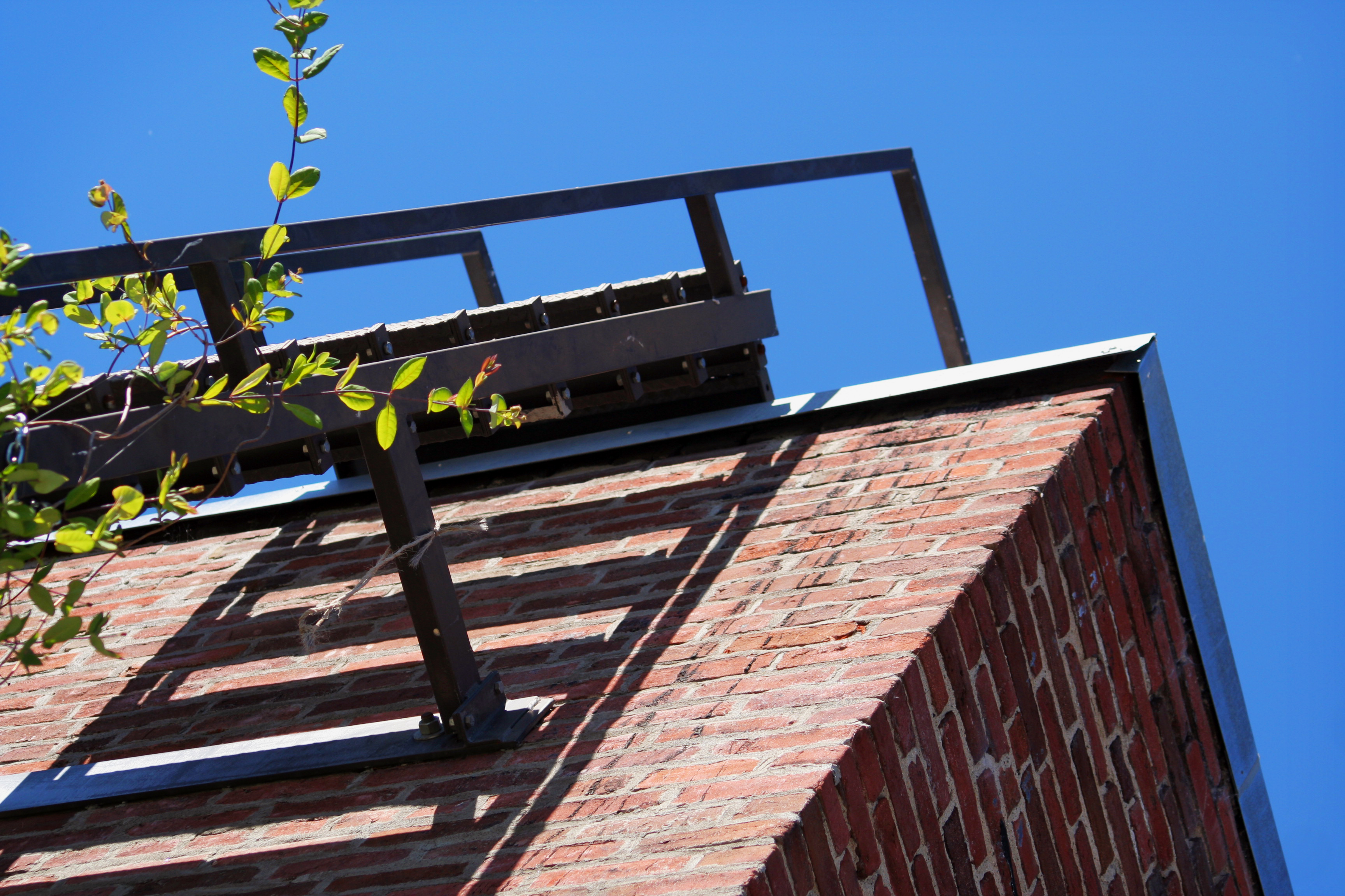
DAY 193/365: Old Town Fire Escape
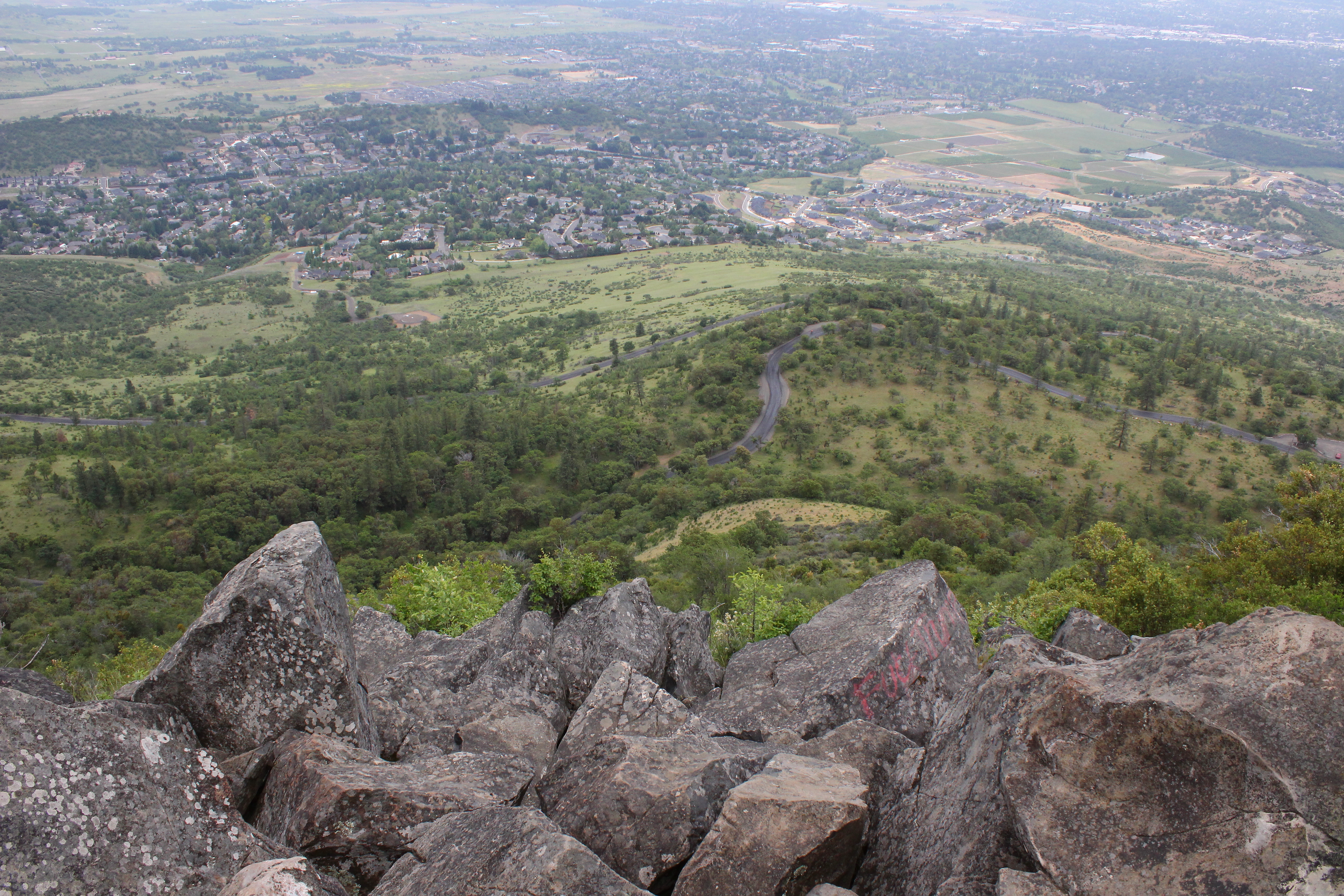
The view from Roxy Ann Peak's summit
Lovely view of i-5
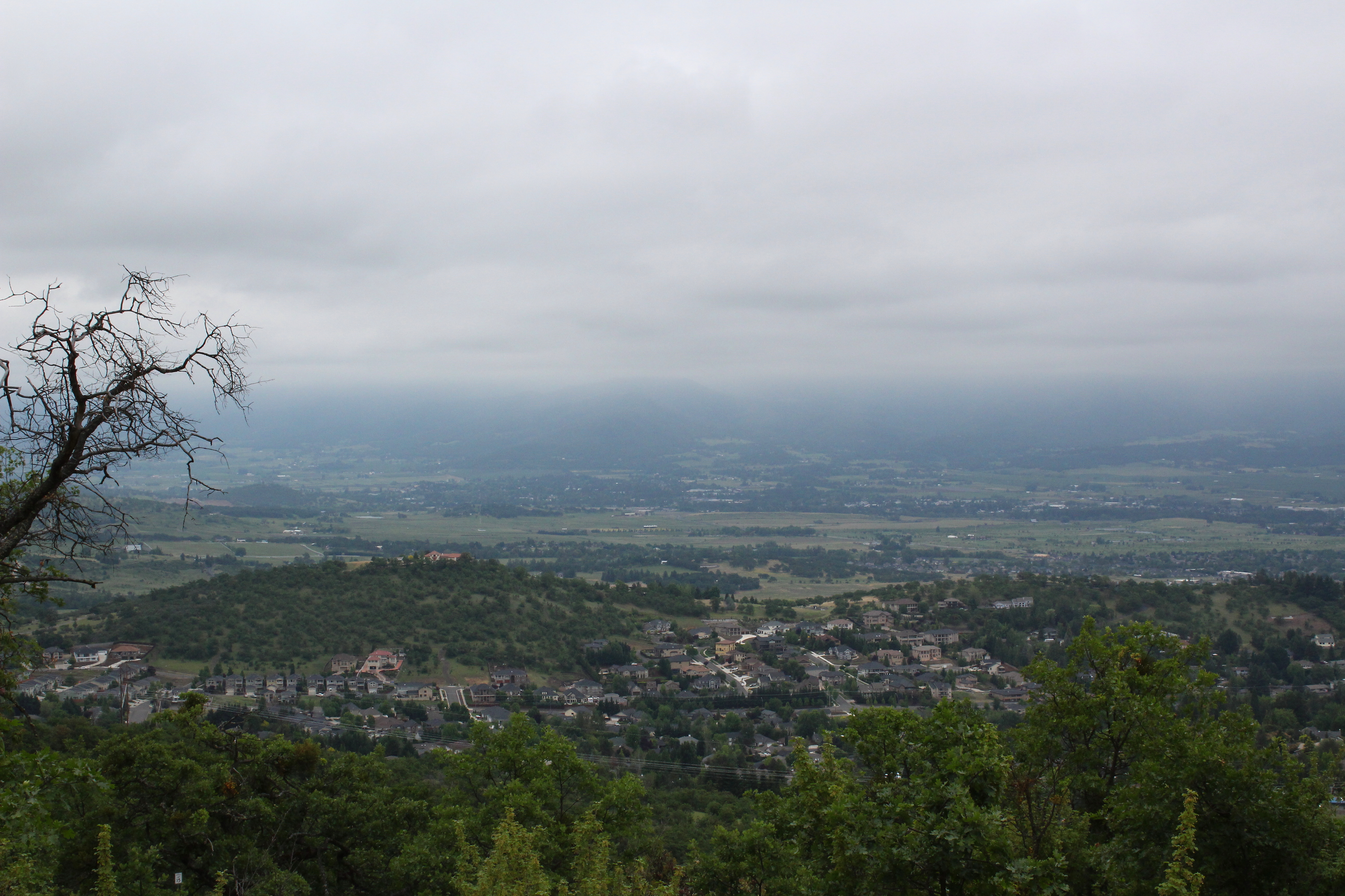
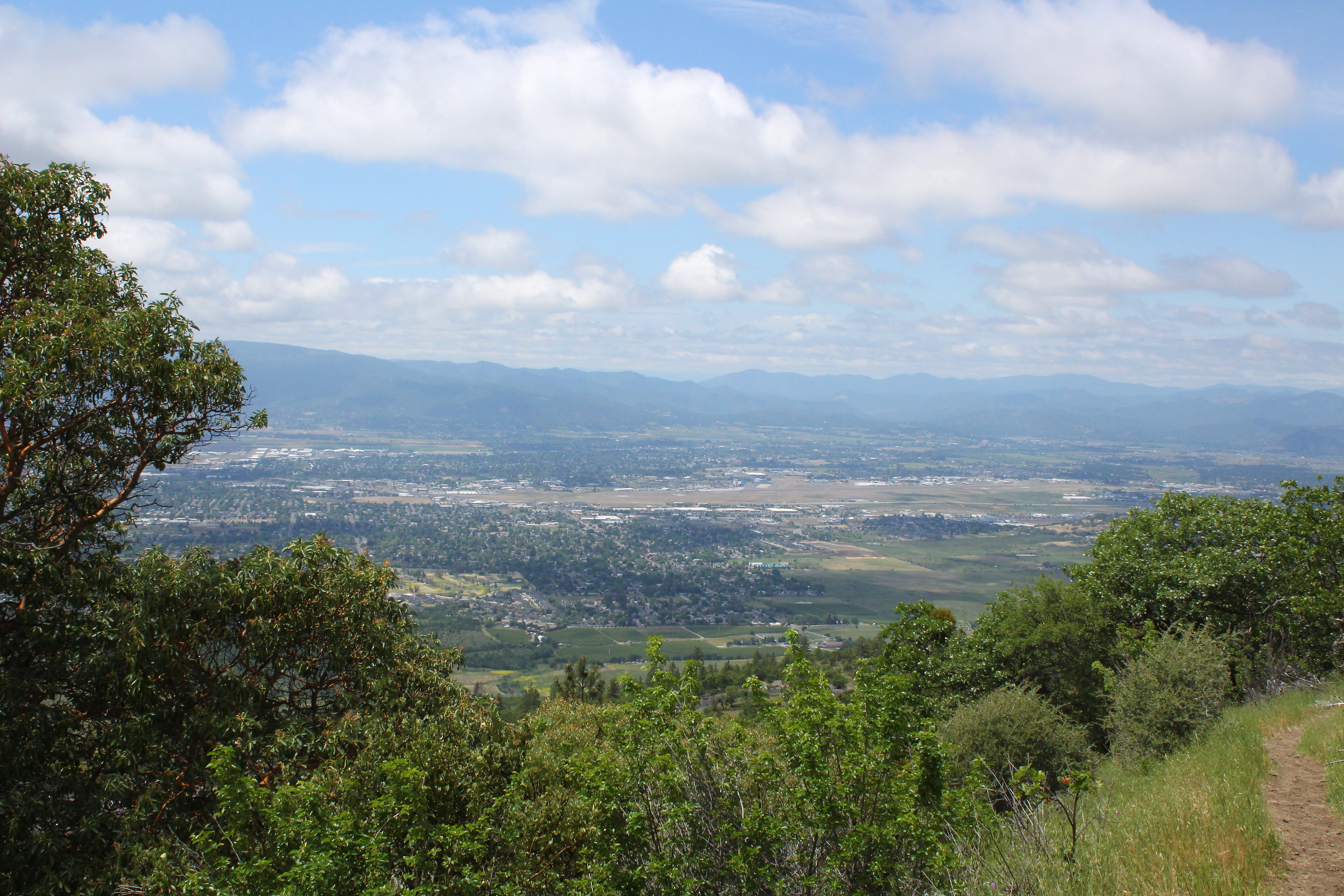
View to south Medford
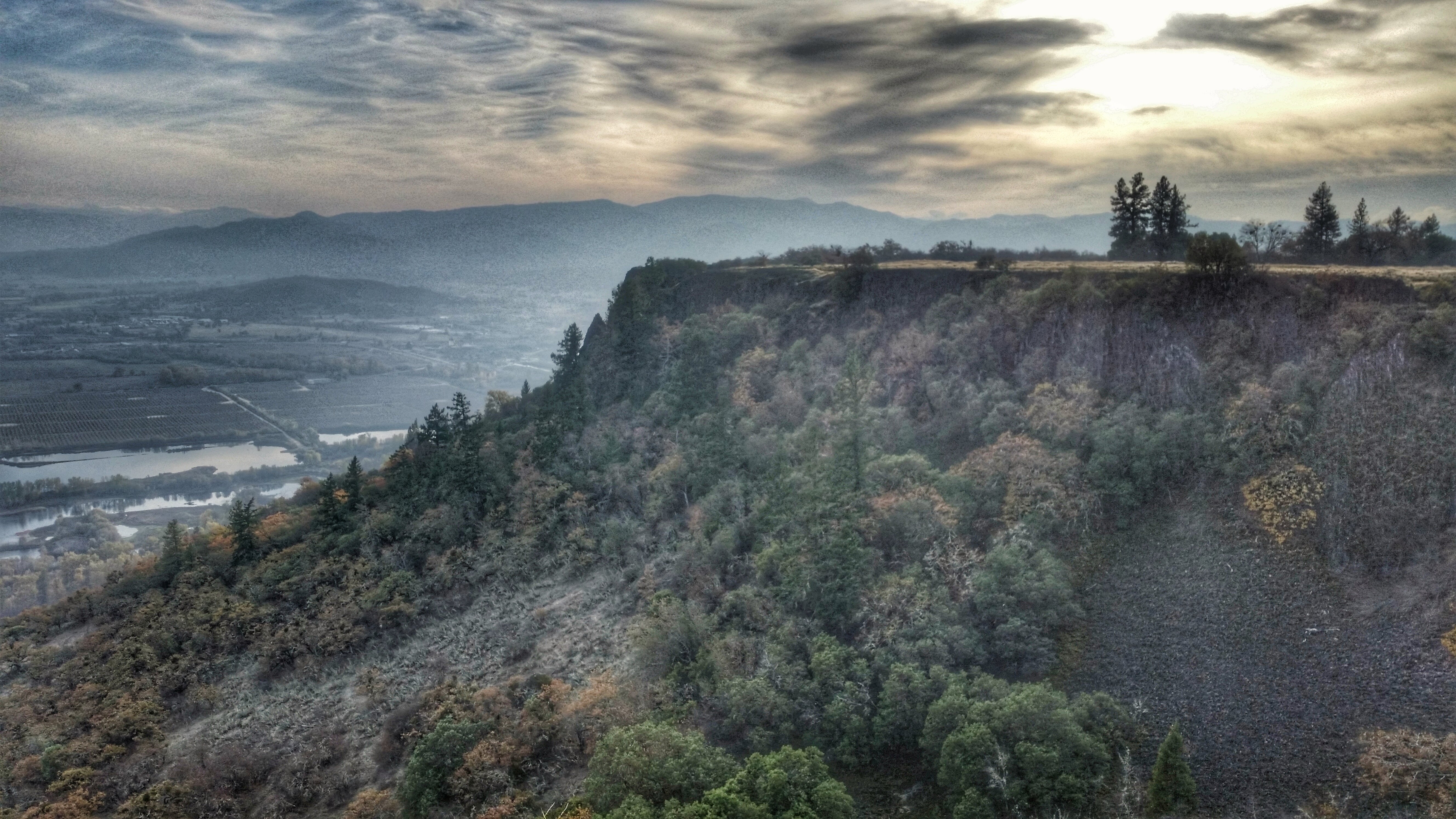
A great view

View towards the Cascades
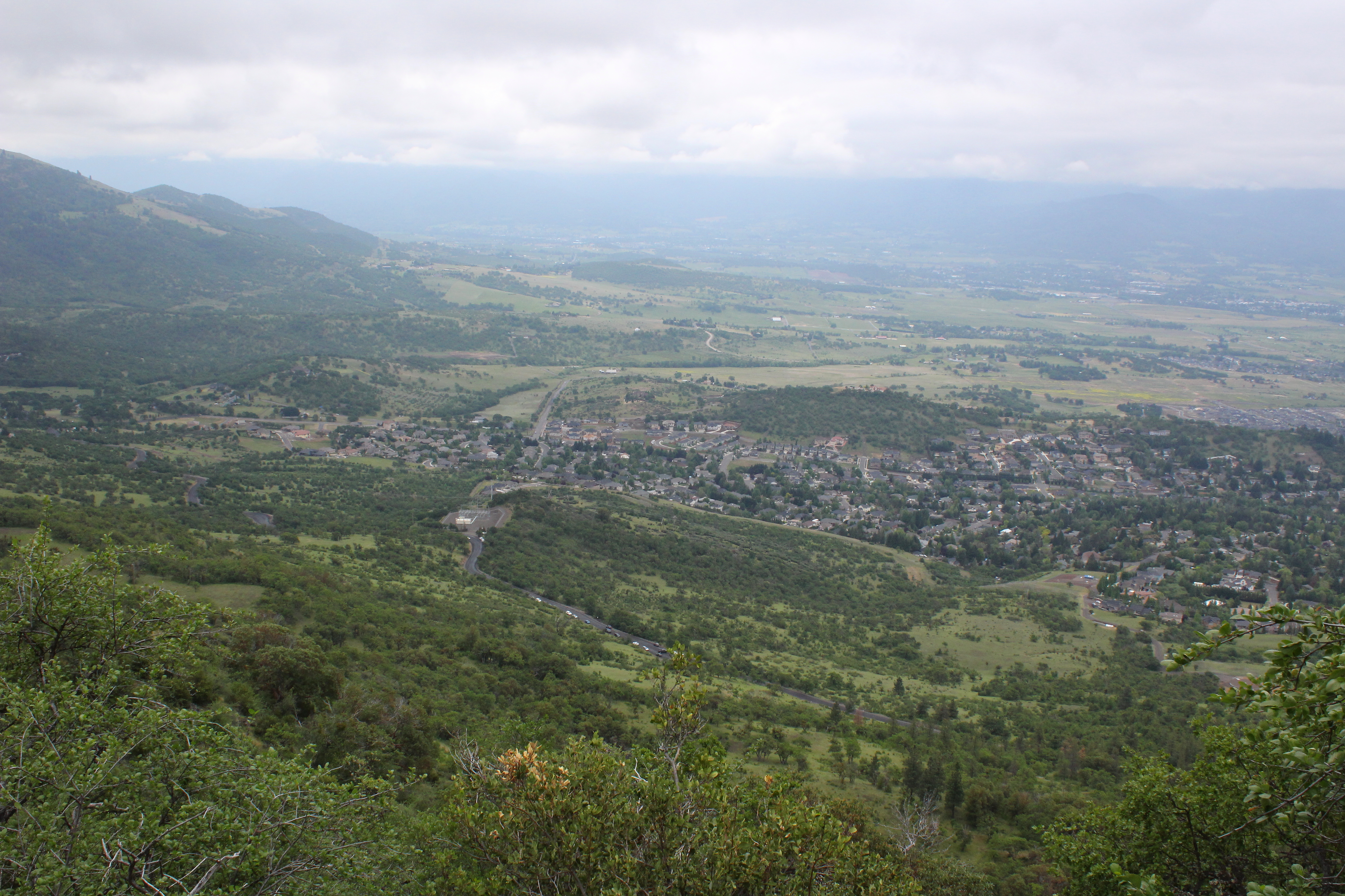
The view would only get better
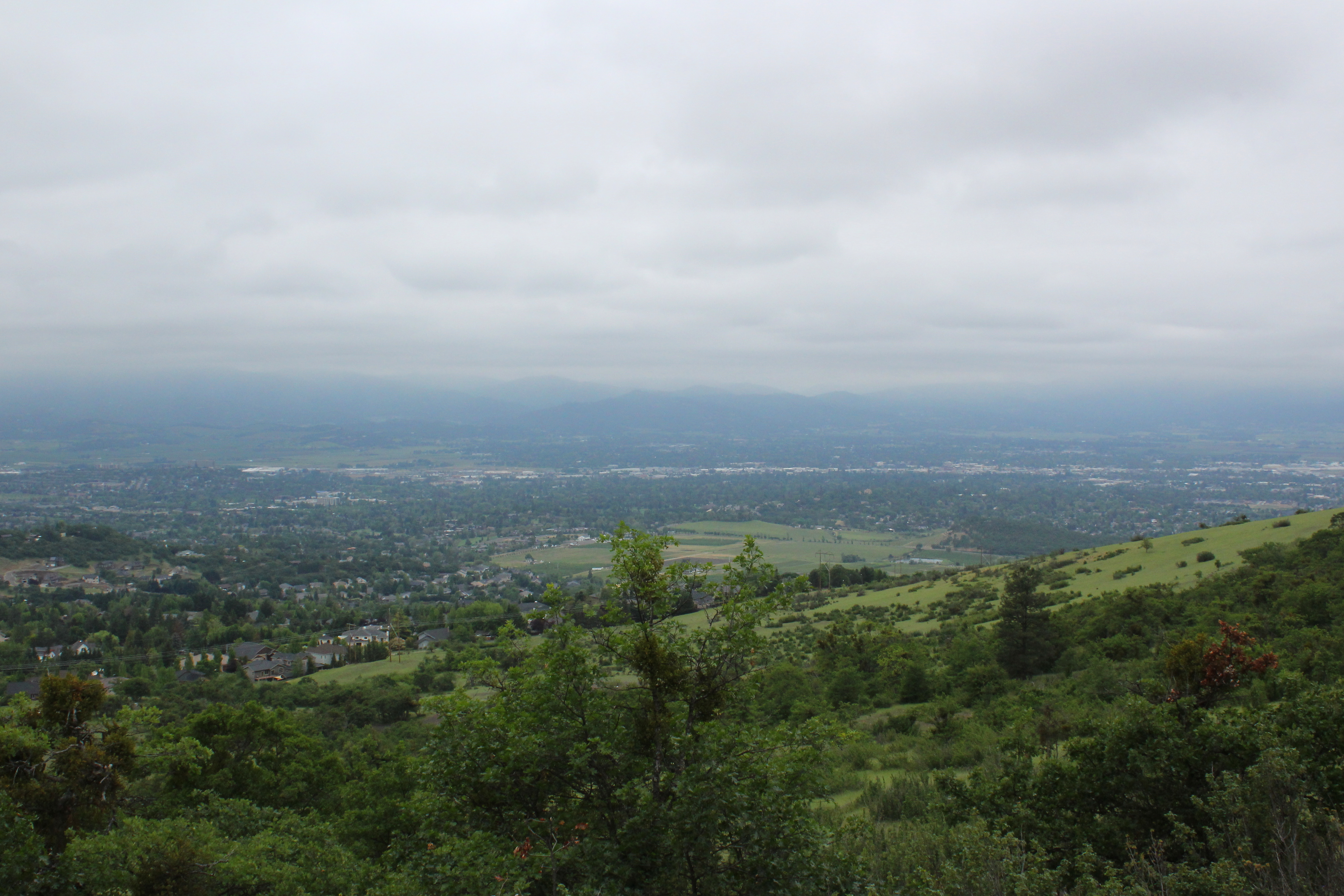
Southeast Medford dominated the view
Jacksonville Viewpoint
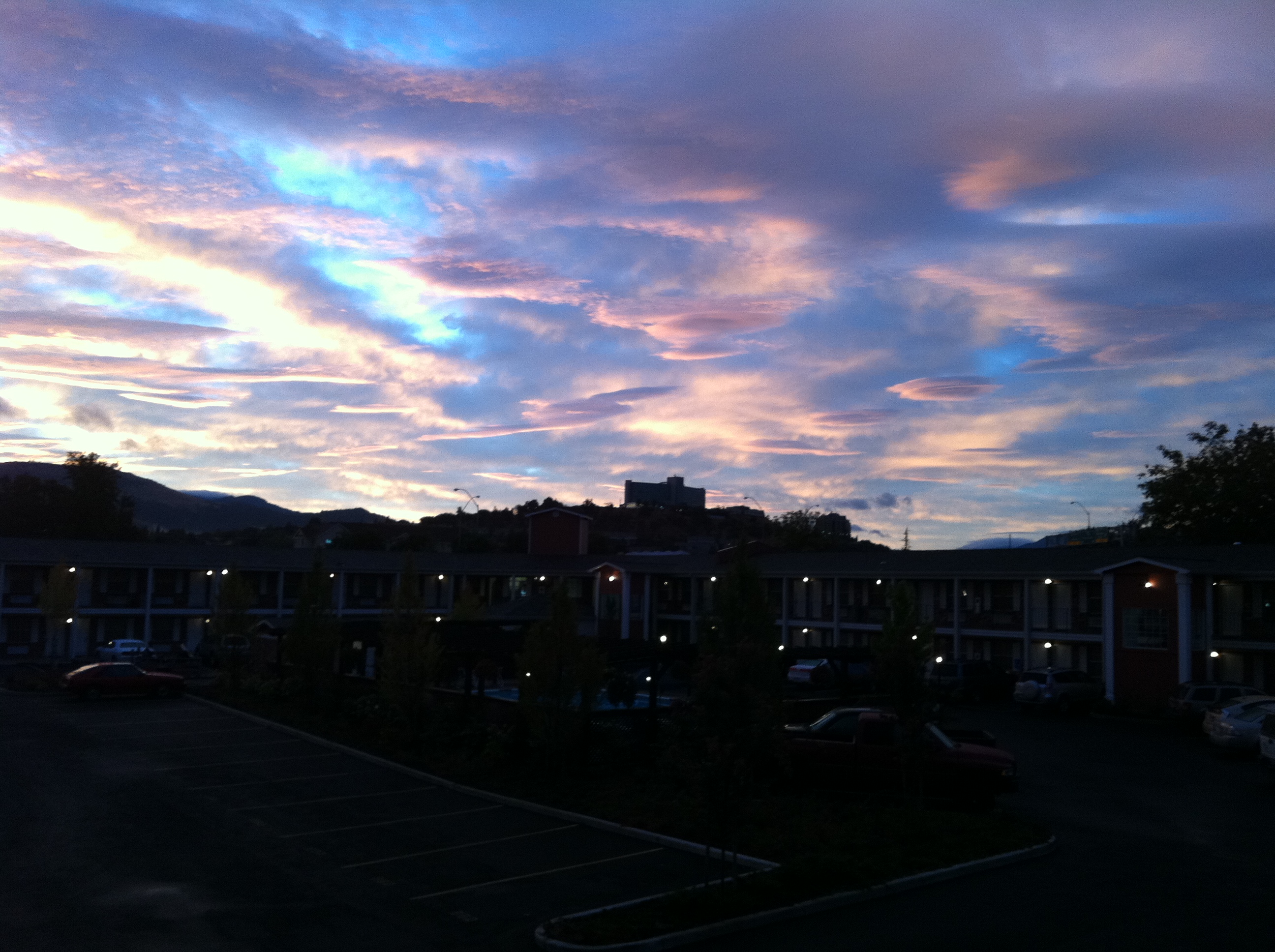
view from hotel2

view from hotel

view from hotel3
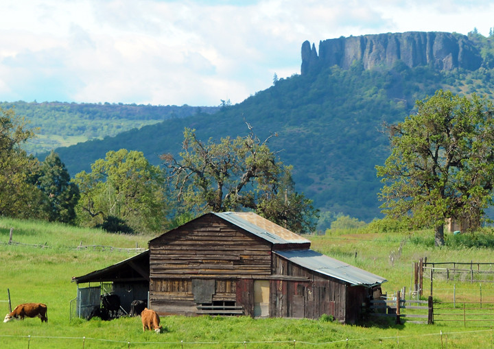
Lower Table Rock and Barn from I-5
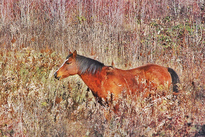
horse in tall grass
The view from the top. Here to preach

DAY 36/365: Salvage Yard Rothko

manor view
Siskiyous, from my window

Oriental Poppies

Harnessing the sun

Sunset, Night -1... - Cycle Oregon 2009

Siskiyou Sunset
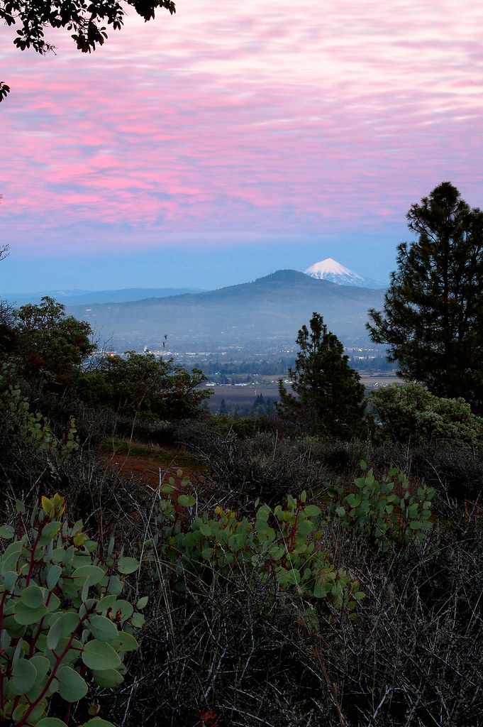
Mount McLoughlin
Golden Hue

Hiking Upper Table Rock
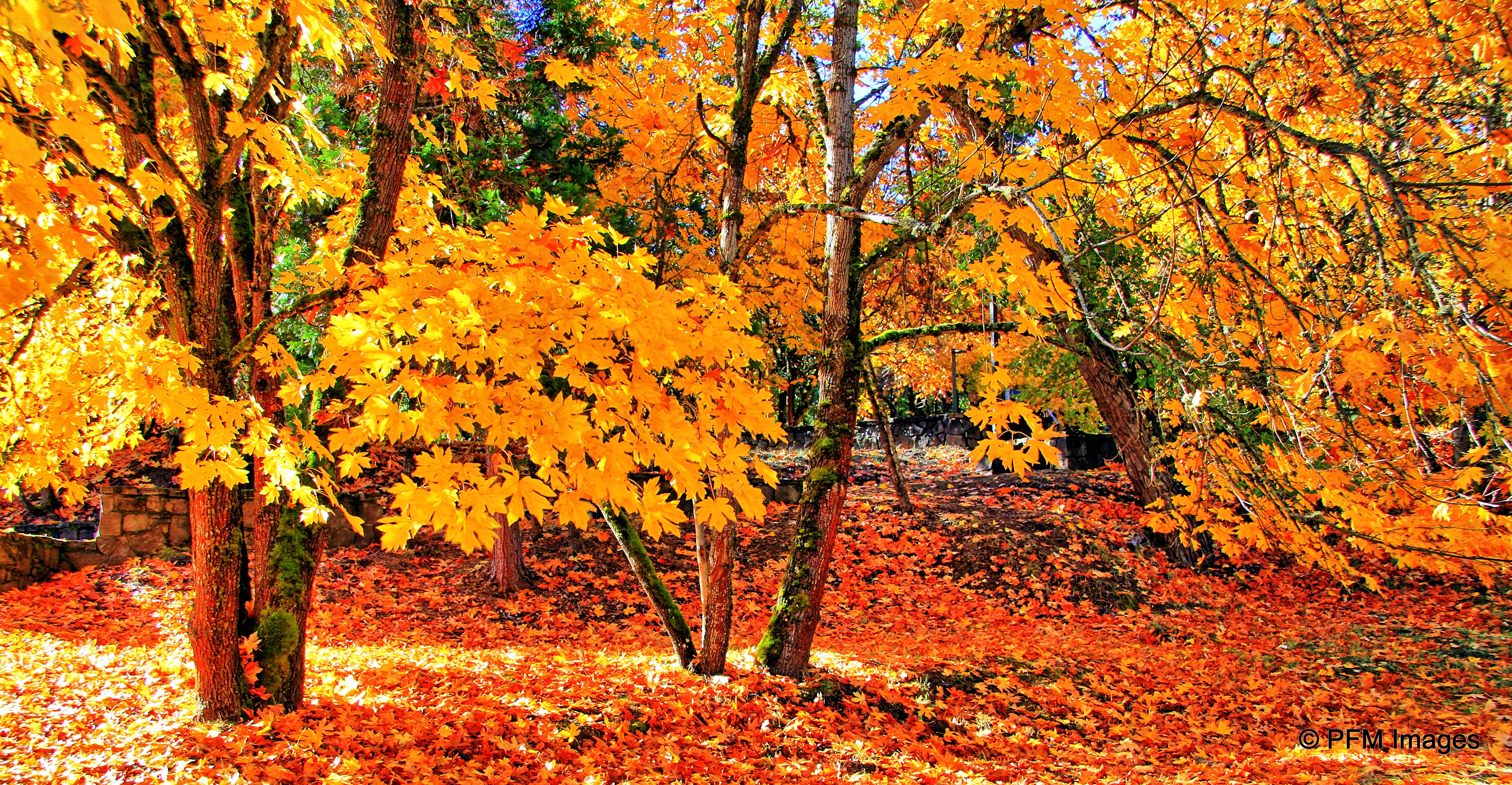
Fall Foliage Jacksonville Oregon

#nofilter

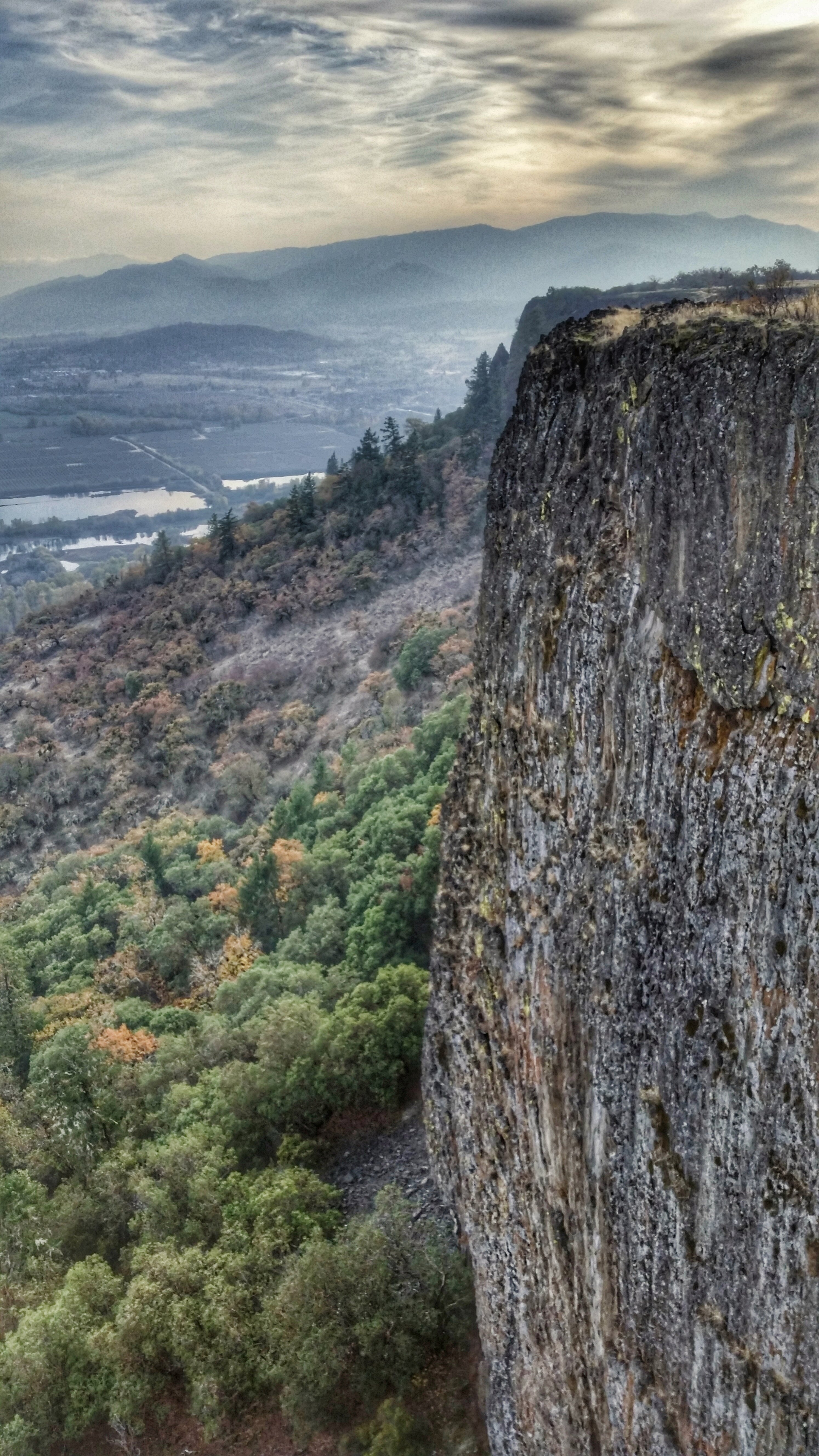
View from Tablerock
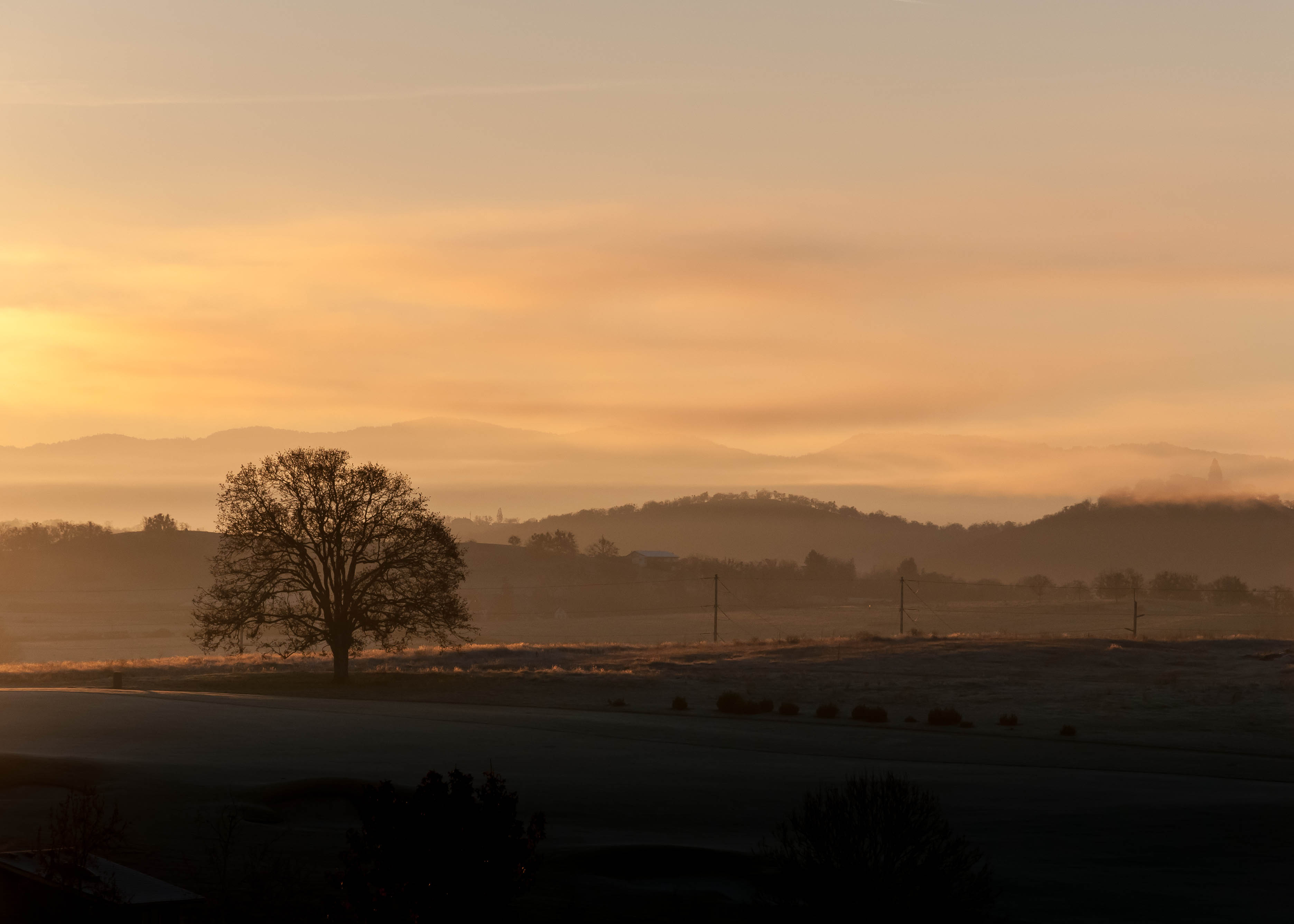
Frosty Morning Sunrise
Hiking Lower Table Rock

Road to Roxy Ann

Siskiyou Mountains

Summer 2014

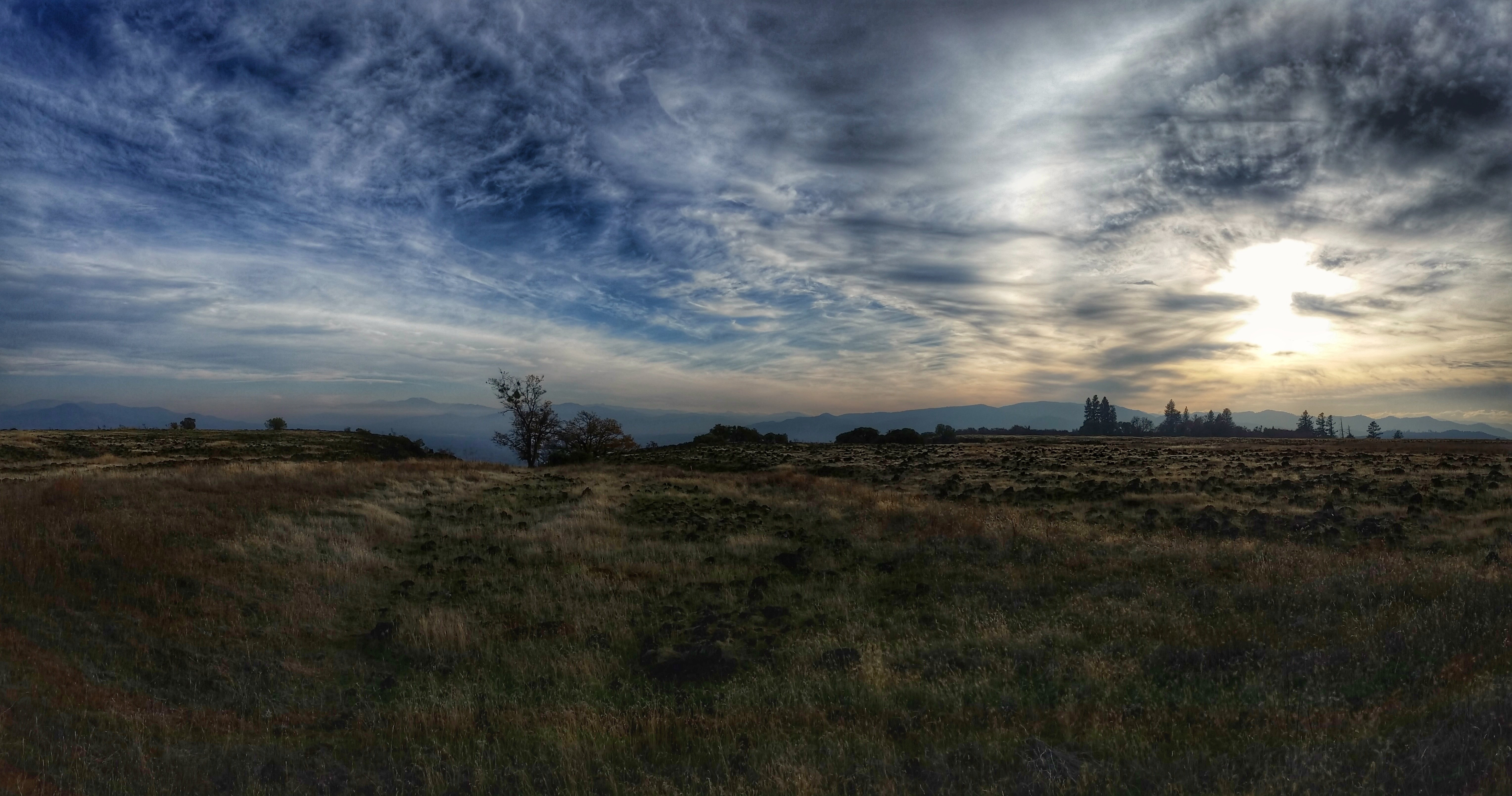
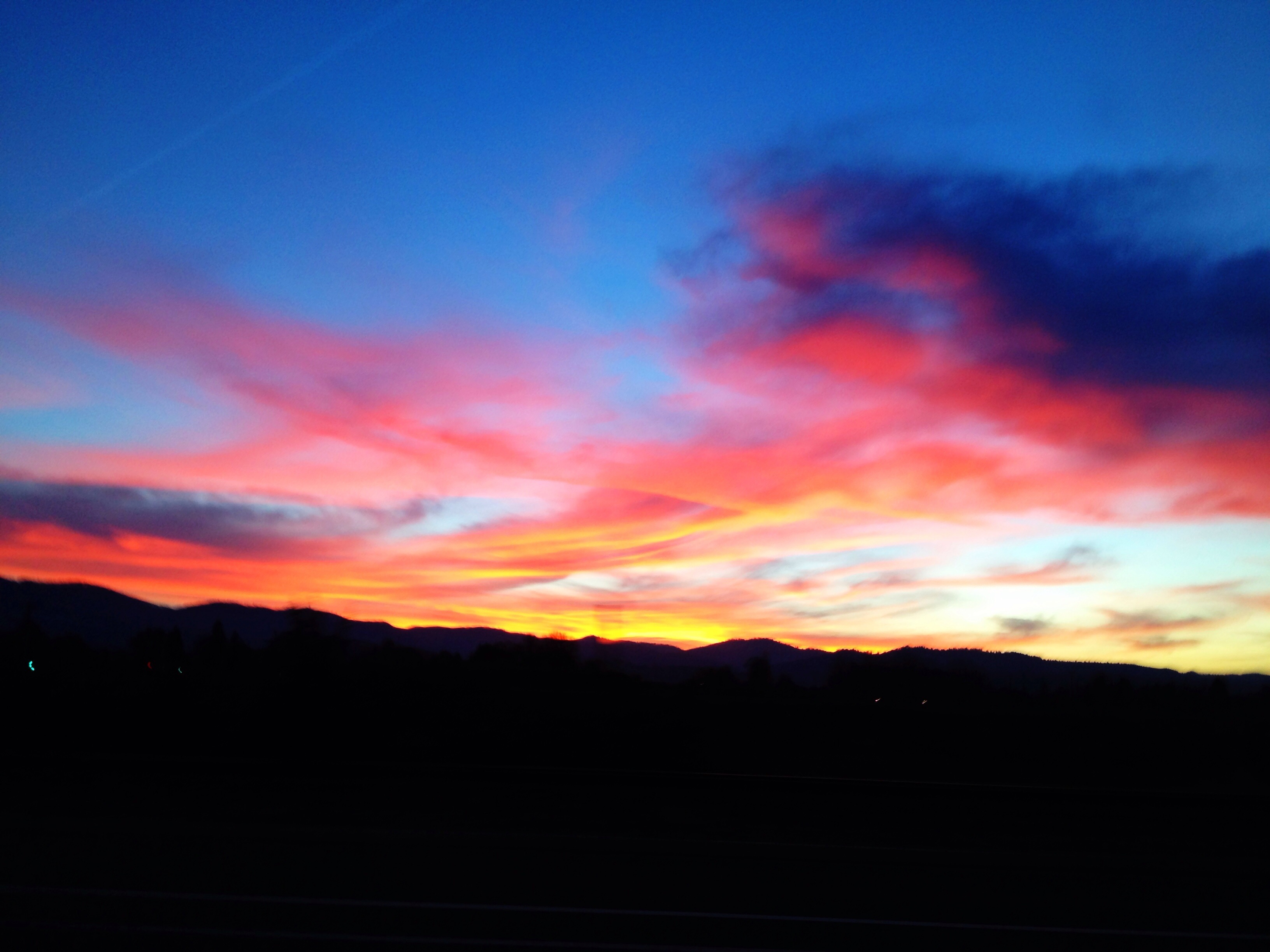
Rogue Valley Sunset
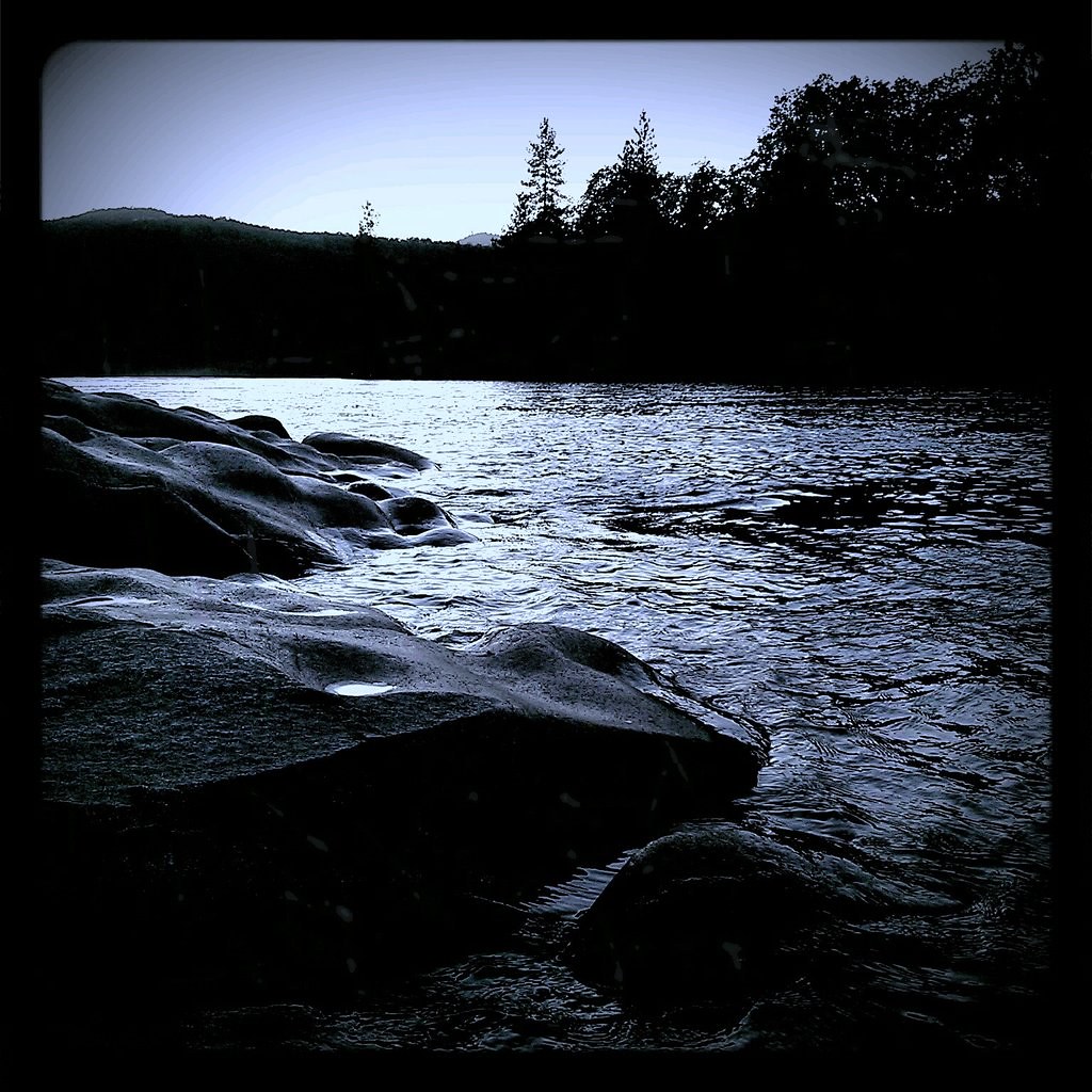
around sunset, last night. Rogue River.

Hiking Lower Table Rock
Hiking Lower Table Rock

Crater Lake

N374AC AeroFlite Avro RJ85 Tanker 164
Hiking Lower Table Rock
107/365 ~ Blessings
Topographic Map of Chancery Cir, Medford, OR, USA
Find elevation by address:

Places near Chancery Cir, Medford, OR, USA:
2648 Wilkshire Dr
2748 Stonebrook Dr
1935 Canyon Ave
2810 Kerrisdale Ridge Dr
2307 Asher Dr
3168 Timothy Ave
1558 Valley View Dr
2971 Spring Hills Dr
East Mcandrews Road
2730 Juanita Ave
2450 Pinebrook Cir
230 Saginaw Dr
Sunrise Avenue
2119 Capital Ave
1500 Yucca St
117 Kensington Square
117 Sunrise Ave
2125 Hillcrest Rd
1913 Hillcrest Rd
1626 Woodlawn Dr
Recent Searches:
- Elevation of Corso Fratelli Cairoli, 35, Macerata MC, Italy
- Elevation of Tallevast Rd, Sarasota, FL, USA
- Elevation of 4th St E, Sonoma, CA, USA
- Elevation of Black Hollow Rd, Pennsdale, PA, USA
- Elevation of Oakland Ave, Williamsport, PA, USA
- Elevation of Pedrógão Grande, Portugal
- Elevation of Klee Dr, Martinsburg, WV, USA
- Elevation of Via Roma, Pieranica CR, Italy
- Elevation of Tavkvetili Mountain, Georgia
- Elevation of Hartfords Bluff Cir, Mt Pleasant, SC, USA