Elevation of Capital Ave, Medford, OR, USA

Location: United States > Oregon > Jackson County > Medford >

Longitude: -122.84479

Latitude: 42.3330185

Elevation: 464m / 1522feet

Barometric Pressure: 96KPa

Elevation Map:

elevation map of Capital Ave, Medford, OR, USA

Satellite Map:

Satellite map of Capital Ave, Medford, OR, USA

Related Photos:

east applegate ridge trail jacksonville sterling ditch jack ash siskiyou mountains foothills ruch valley hiking oregon views
Oh crap, you found me!
east applegate ridge trail jacksonville sterling ditch jack ash siskiyou mountains foothills ruch valley hiking oregon views
View of the Applegate Valley, on the way out
east applegate ridge trail jacksonville sterling ditch jack ash siskiyou mountains foothills ruch valley hiking oregon views
Still lots of snow in the Siskiyou foothills
east applegate ridge trail jacksonville sterling ditch jack ash siskiyou mountains foothills ruch valley hiking oregon views
Oak tree patterns
east applegate ridge trail jacksonville sterling ditch jack ash siskiyou mountains foothills ruch valley hiking oregon views
Trail, as it crested a high point
east applegate ridge trail jacksonville sterling ditch jack ash siskiyou mountains foothills ruch valley hiking oregon views
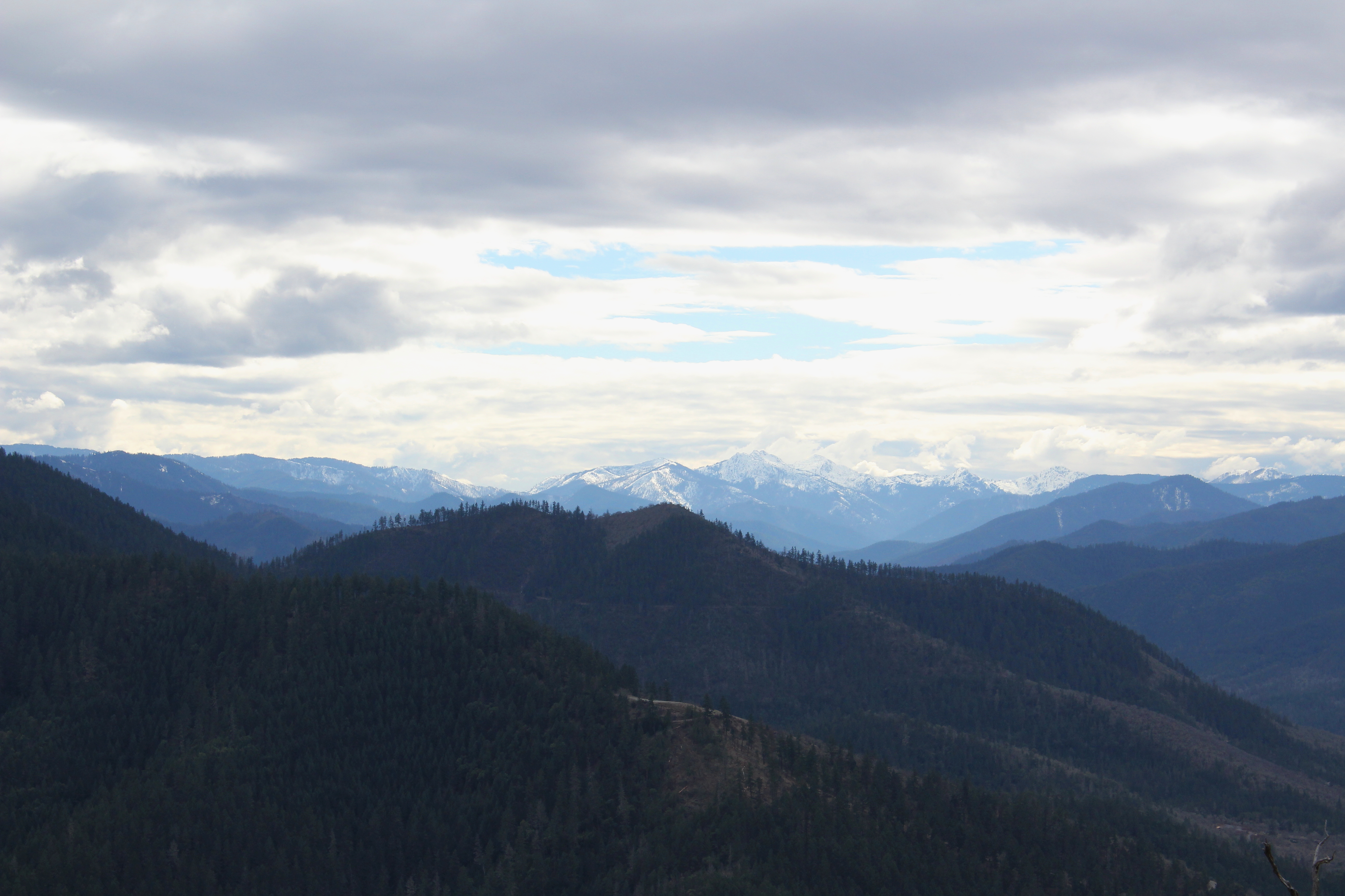
Anderson Butte and other Siskiyou Mountains friends
east applegate ridge trail jacksonville sterling ditch jack ash siskiyou mountains foothills ruch valley hiking oregon views
Epic view down to Ruch, Oregon
east applegate ridge trail jacksonville sterling ditch jack ash siskiyou mountains foothills ruch valley hiking oregon views
Oak trees against a blue sky
east applegate ridge trail jacksonville sterling ditch jack ash siskiyou mountains foothills ruch valley hiking oregon views
Walking off the edge of the world
east applegate ridge trail jacksonville sterling ditch jack ash siskiyou mountains foothills ruch valley hiking oregon views
Our trail, ahead of us
east applegate ridge trail jacksonville sterling ditch jack ash siskiyou mountains foothills ruch valley hiking oregon views
Bark beetle tracks on a fallen branch
california food hot bike bicycle oregon community support day glendale clear jefferson hazy volunteer sponsor medford heavenonearth bicyclists yreka reststops happycamp grantspass scenicviews ihadagreattime bluerooms thestateofjefferson waterstops lakeselmac uphillclimbs cycleoregon2009 cyclejefferson thesealofthegreatstateofjefferson sagwagons
Sunset, Night -1... - Cycle Oregon 2009
east applegate ridge trail jacksonville sterling ditch jack ash siskiyou mountains foothills ruch valley hiking oregon views
Lichen sways in the breeze
east applegate ridge trail jacksonville sterling ditch jack ash siskiyou mountains foothills ruch valley hiking oregon views
Dozens of buzzards circled over us
east applegate ridge trail jacksonville sterling ditch jack ash siskiyou mountains foothills ruch valley hiking oregon views
Tree art on the East ART
east applegate ridge trail jacksonville sterling ditch jack ash siskiyou mountains foothills ruch valley hiking oregon views
Beetle script
east applegate ridge trail jacksonville sterling ditch jack ash siskiyou mountains foothills ruch valley hiking oregon views
Madrones reach for the sky
east applegate ridge trail jacksonville sterling ditch jack ash siskiyou mountains foothills ruch valley hiking oregon views
Trail, traversing a wooded knoll
east applegate ridge trail jacksonville sterling ditch jack ash siskiyou mountains foothills ruch valley hiking oregon views
Traci can walk and gawk at the same time
east applegate ridge trail jacksonville sterling ditch jack ash siskiyou mountains foothills ruch valley hiking oregon views
Remnants from a past wildfire
east applegate ridge trail jacksonville sterling ditch jack ash siskiyou mountains foothills ruch valley hiking oregon views
We enjoyed the sun as we hiked uphill
fallfoliage jacksonville oregon yellow leaves trees shade outdoor nature landscape canon eos 7d slr
Fall Foliage Jacksonville Oregon
5095 analog asa100 canon canoscan canoscan9000fmarkii colornegative ef35105mmf3545 eos eos620 explore explored film ga goldplus100 iso100 kodacolorvrgold100 kodak processc41 scanned standardbase unitedstates usa centralpoint geo:lat=4245315336 geo:lon=12290170389 geotagged oregon tablerock 9000f esplora renown pretty photo pic
Mount McLoughlin
Hiking Upper Table Rock
ashland cascade mountain range snow winter al case nikon d500 nikkor 300mm f4e sun trees landscape house
Snow line in the light of dusk
southern oregon aerial nikon d750 nikkor 24120mm f4g lower upper al case
Table Rock
sunset cascades jacksonville medford mtmcloughlin roxyannbutte
Jacksonville Viewpoint
Hiking Upper Table Rock
sunset oregon lowlight citylights medford nikond800 nikon28300mm roxyanndrive
Medford lights from Roxy Ann Drive
roxy ann peak prescott park medford bear creek valley ashland oregon hiking
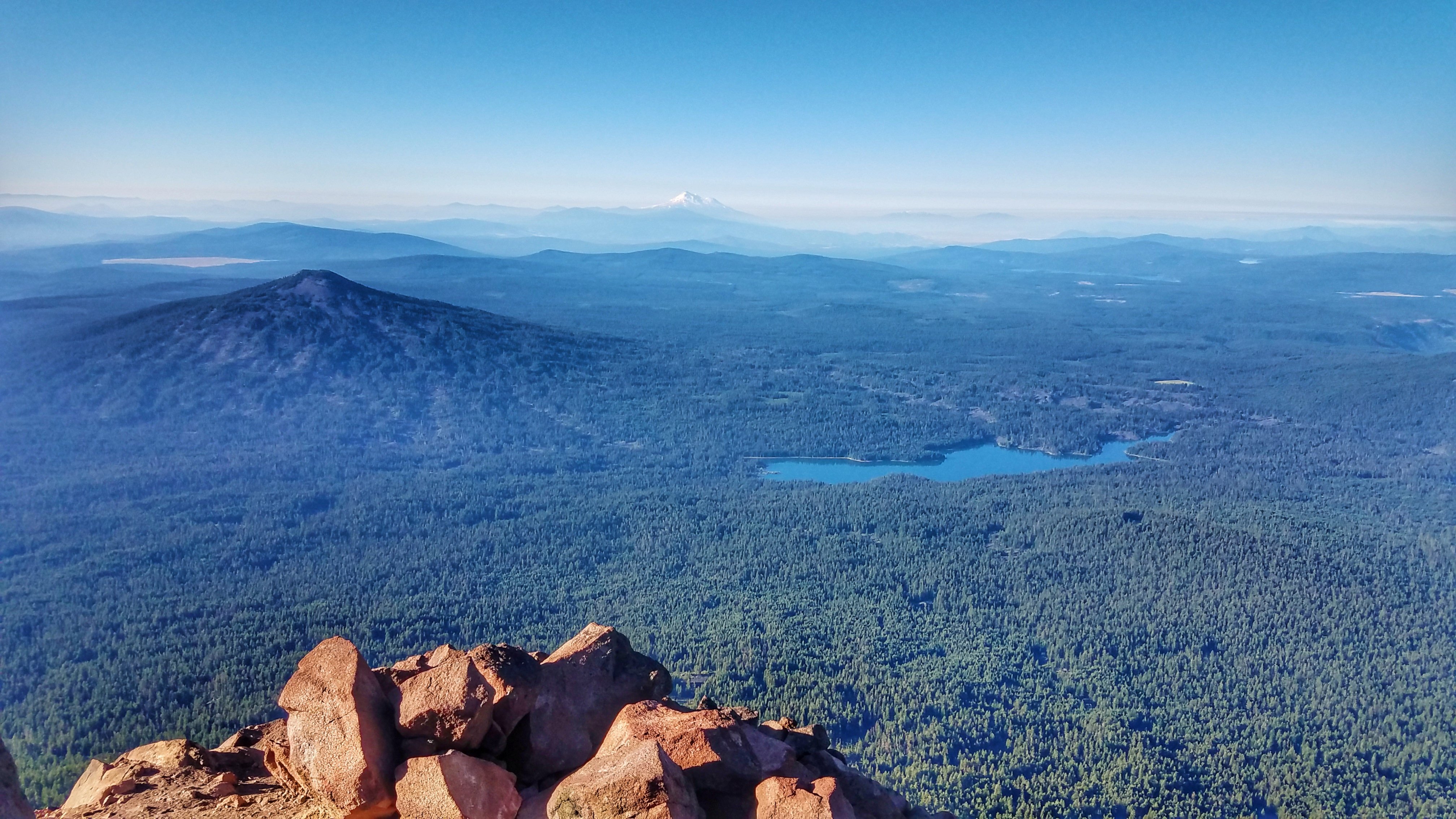
Summit view panorama
roxy ann peak prescott park medford bear creek valley ashland oregon hiking
We had a great view of Bear Creek Valley
medfordcorprvtr whitecity rvtr sw1200 emd diesel centerbeam lumber mill spur siding corp switcher
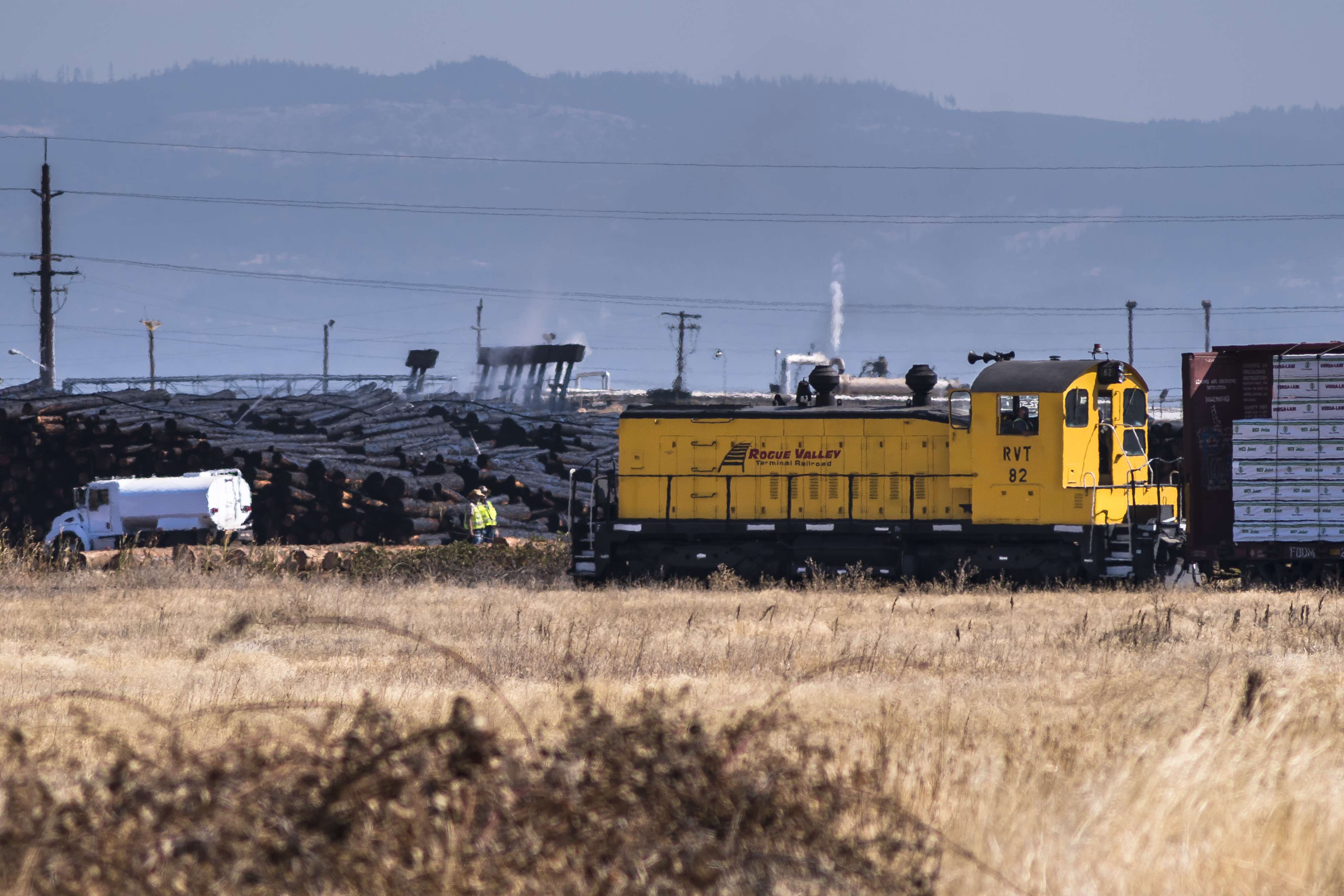
Rogue Valley Terminal
Roundup: JB Dimick readies cows and calves for new pasture. Eagle Point, Oregon 5:14 p.m. 5/11/16
Climbing Mount McLoughlin
N374AC AeroFlite Avro RJ85 Tanker 164
N603AX 10 Tanker Air Carrier DC-10 Tanker 914
Rogue Valley Oregon