Elevation of Chợ Thị trấn Madagui, Mạ Đa Guôi, Đạ Huoai, Lâm Đồng, Vietnam
Location: Vietnam > Lâm Đồng > Đạ Huoai District >
Longitude: 107.535713
Latitude: 11.3842041
Elevation: 164m / 538feet
Barometric Pressure: 99KPa
Elevation Map:
Satellite Map:
Related Photos:

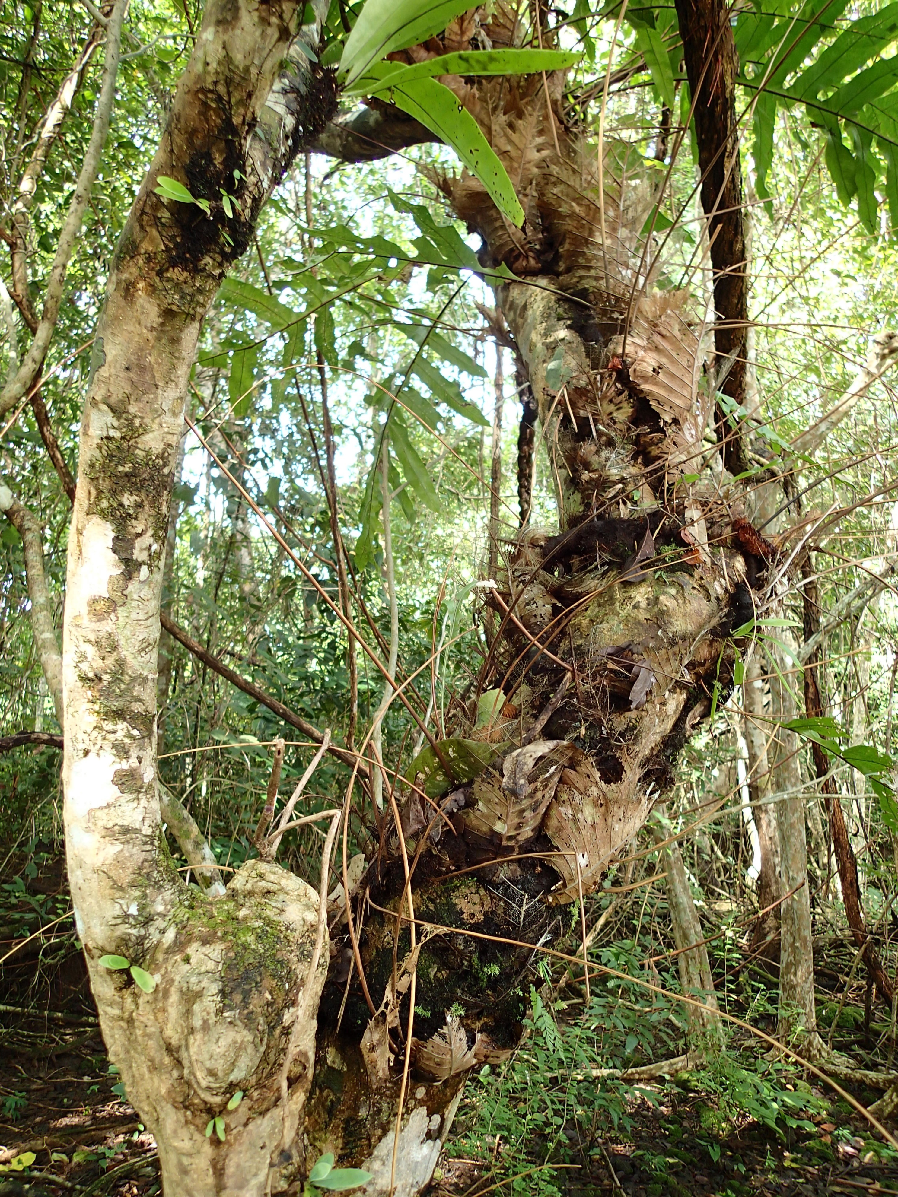
Cat Tien

Bến Cự - Nam Cát Tiên - Cattien National Park

CAM00269~2

Bacchusreiher an Stromschnelle (Ardeola bacchus)

photo 14

Track Leading into Cat Tien National Park
Cat Tien

Cat Tien

Cat Tien

Grünfuß-Buschwachtel, Green-legged Partridge (Arborophila chloropus)
Topographic Map of Chợ Thị trấn Madagui, Mạ Đa Guôi, Đạ Huoai, Lâm Đồng, Vietnam
Find elevation by address:

Places near Chợ Thị trấn Madagui, Mạ Đa Guôi, Đạ Huoai, Lâm Đồng, Vietnam:
Madagui Forest City
Quốc Lộ 20
Quốc Lộ 20
Đạ Huoai District
Phú Lập
Tân Phú District
Bảo Lộc
Cầu Đại Bình
Phường Lộc Sơn
Dự án Sun Valley Bảo Lộc
Sun Valley Bảo Lộc
Lộc Quảng
Bảo Lộc
Bảo Lâm District
Lâm Đồng
Gia Nghĩa
Phước Long
Đăk Glong District
Đăk Song District
Dak Nong
Recent Searches:
- Elevation of Corso Fratelli Cairoli, 35, Macerata MC, Italy
- Elevation of Tallevast Rd, Sarasota, FL, USA
- Elevation of 4th St E, Sonoma, CA, USA
- Elevation of Black Hollow Rd, Pennsdale, PA, USA
- Elevation of Oakland Ave, Williamsport, PA, USA
- Elevation of Pedrógão Grande, Portugal
- Elevation of Klee Dr, Martinsburg, WV, USA
- Elevation of Via Roma, Pieranica CR, Italy
- Elevation of Tavkvetili Mountain, Georgia
- Elevation of Hartfords Bluff Cir, Mt Pleasant, SC, USA