Elevation of Đăk Glong District, Dak Nong, Vietnam
Location: Vietnam > Dak Nong >
Longitude: 107.802354
Latitude: 12.1013642
Elevation: 872m / 2861feet
Barometric Pressure: 91KPa
Elevation Map:
Satellite Map:
Related Photos:

20150910_163536

WP_20160113_003

WP_20160113_004

WP_20160113_002

Thác CÔ Tiên - Gia Nghĩa

DJI_0425-Edit

Km 834 QL14
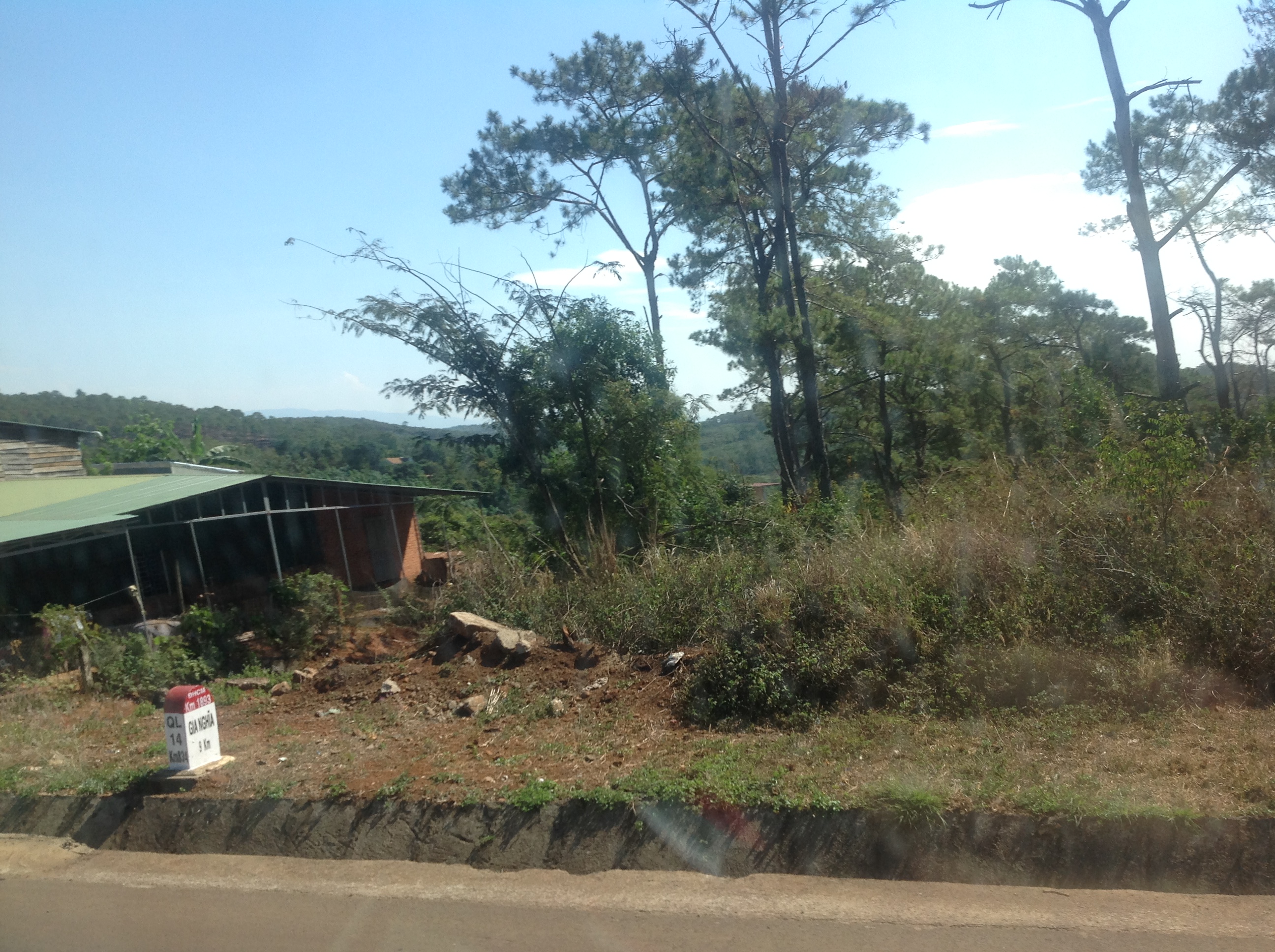
Km 834 QL14

Km 829 QL14

Km 829 QL14

IMG_4399 copy

IMG_4442 copy

Tây Nguyên mùa mưa...

image~03
Topographic Map of Đăk Glong District, Dak Nong, Vietnam
Find elevation by address:

Places near Đăk Glong District, Dak Nong, Vietnam:
Gia Nghĩa
Đăk Song District
Dak Nong
Bảo Lâm District
Lộc Quảng
Dự án Sun Valley Bảo Lộc
Sun Valley Bảo Lộc
Bảo Lộc
Phường Lộc Sơn
Bou Sra
Cầu Đại Bình
Bousra Waterfall
Bảo Lộc
Lâm Đồng
Đạ Huoai District
Quốc Lộ 20
Quốc Lộ 20
Madagui Forest City
Krong Saen Monourom
Saen Monourom
Recent Searches:
- Elevation of Corso Fratelli Cairoli, 35, Macerata MC, Italy
- Elevation of Tallevast Rd, Sarasota, FL, USA
- Elevation of 4th St E, Sonoma, CA, USA
- Elevation of Black Hollow Rd, Pennsdale, PA, USA
- Elevation of Oakland Ave, Williamsport, PA, USA
- Elevation of Pedrógão Grande, Portugal
- Elevation of Klee Dr, Martinsburg, WV, USA
- Elevation of Via Roma, Pieranica CR, Italy
- Elevation of Tavkvetili Mountain, Georgia
- Elevation of Hartfords Bluff Cir, Mt Pleasant, SC, USA