Elevation of Cerro Saragate, New Mexico, USA
Location: United States > New Mexico > Tierra Amarilla >
Longitude: -106.35613
Latitude: 36.6416821
Elevation: 3225m / 10581feet
Barometric Pressure: 68KPa
Elevation Map:
Satellite Map:
Related Photos:
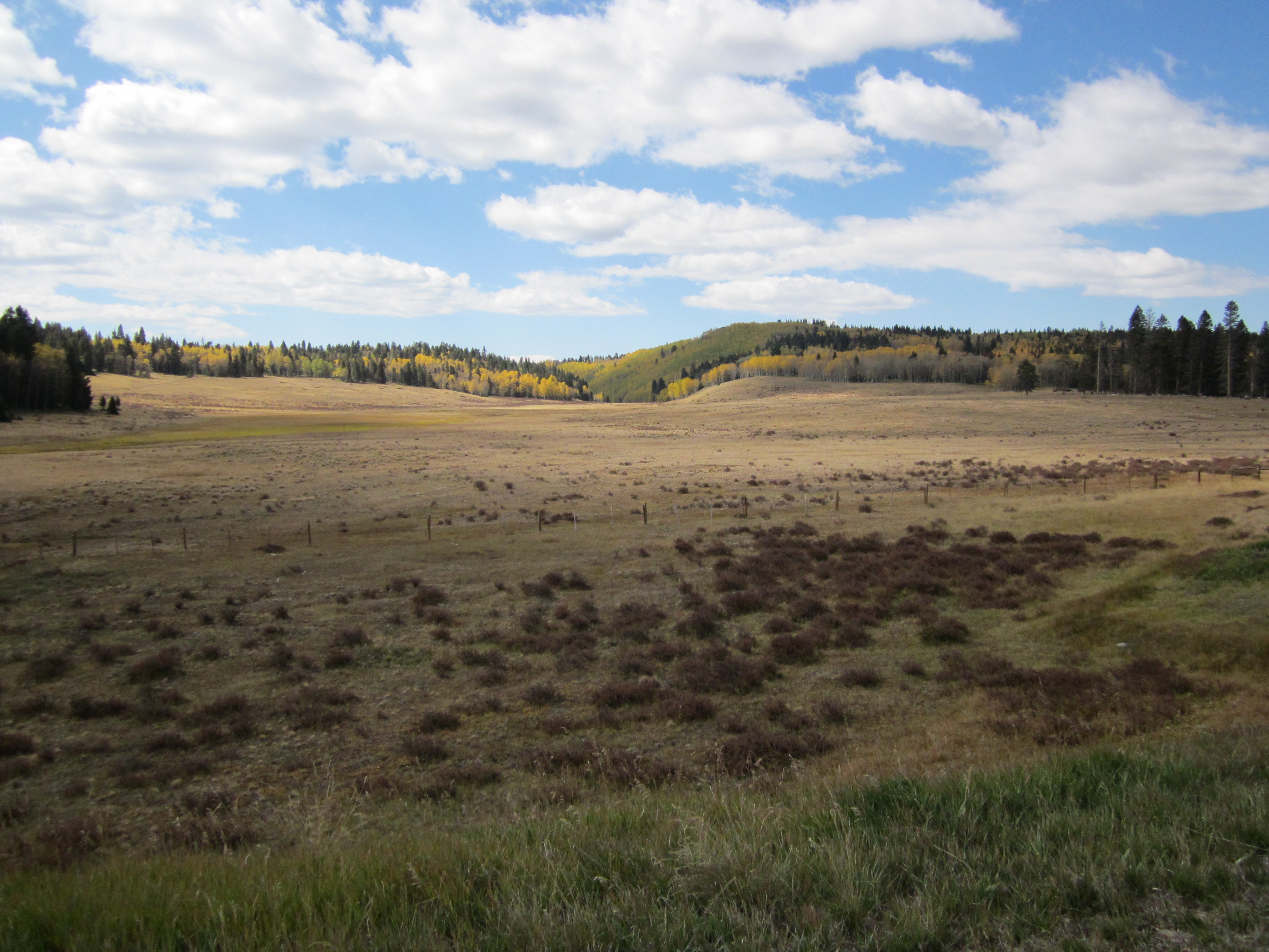
Carson National Forest, New Mexico
Topographic Map of Cerro Saragate, New Mexico, USA
Find elevation by address:

Places near Cerro Saragate, New Mexico, USA:
1754a Drive
Burned Mountain
Jawbone Mountain
Quartzite Peak
Tierra Amarilla
Tusas Mountain
Los Ojos
County Road 341
91 Main St, Los Ojos, NM, USA
Broke Off Mountain
La Puente
Los Ojos, NM, USA
Rutheron
Brazos Ridge Hp
Banco Julian
490 Nm-95
2631 Us-84
Overlook Circle
Los Cerritos De La Cruz South
Osier Mesa
Recent Searches:
- Elevation of Corso Fratelli Cairoli, 35, Macerata MC, Italy
- Elevation of Tallevast Rd, Sarasota, FL, USA
- Elevation of 4th St E, Sonoma, CA, USA
- Elevation of Black Hollow Rd, Pennsdale, PA, USA
- Elevation of Oakland Ave, Williamsport, PA, USA
- Elevation of Pedrógão Grande, Portugal
- Elevation of Klee Dr, Martinsburg, WV, USA
- Elevation of Via Roma, Pieranica CR, Italy
- Elevation of Tavkvetili Mountain, Georgia
- Elevation of Hartfords Bluff Cir, Mt Pleasant, SC, USA