Elevation of Osier Mesa, New Mexico, USA
Location: United States > New Mexico > Tierra Amarilla >
Longitude: -106.39666
Latitude: 36.9813888
Elevation: 3274m / 10741feet
Barometric Pressure: 68KPa
Elevation Map:
Satellite Map:
Related Photos:

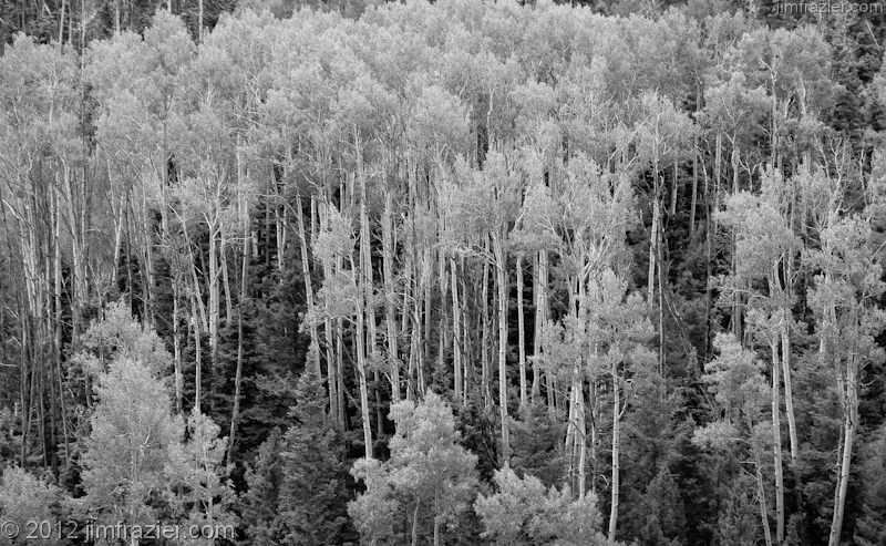
New Mexico Skies: Headwaters of Canada Jarosita

pp spot
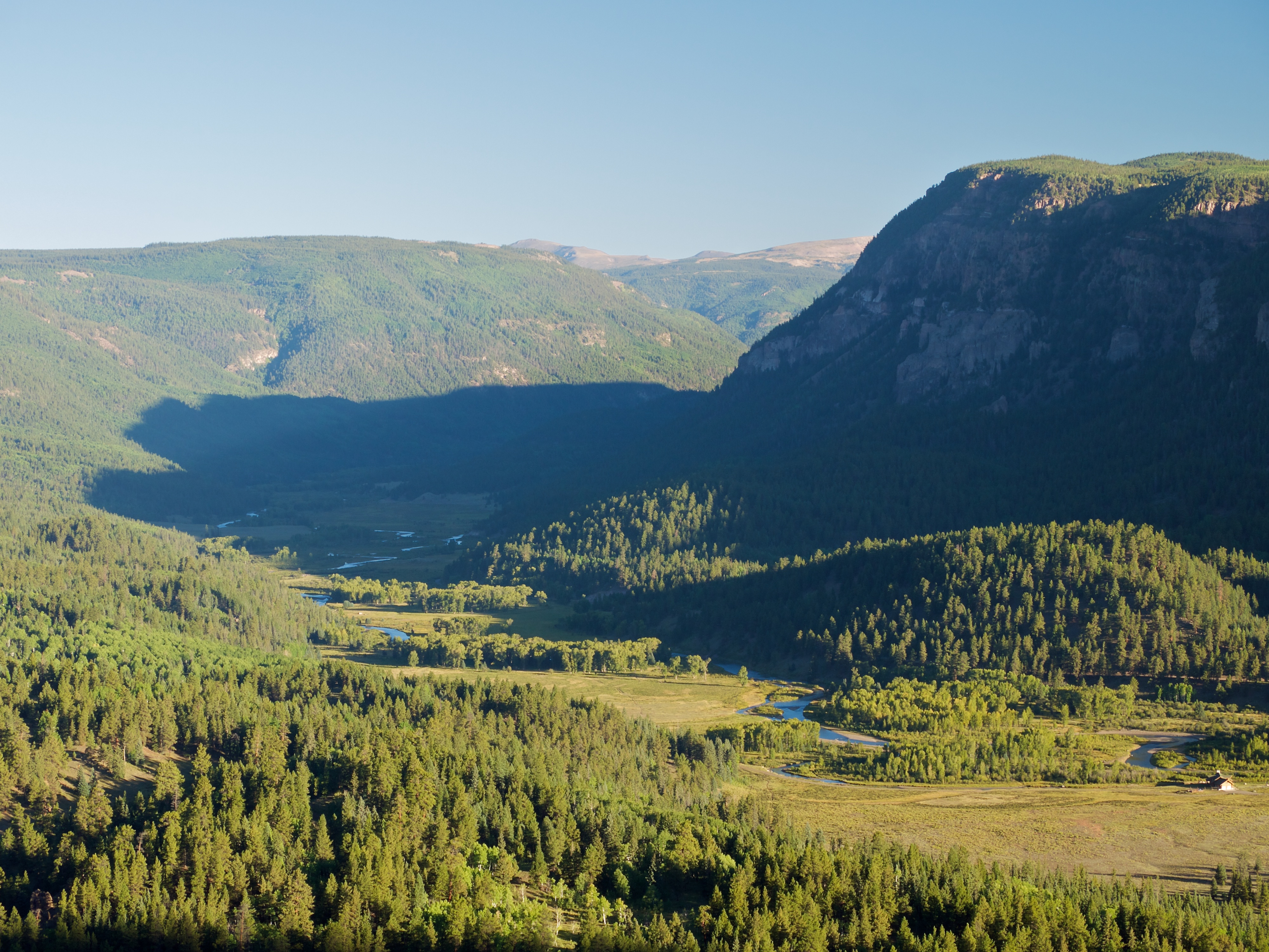
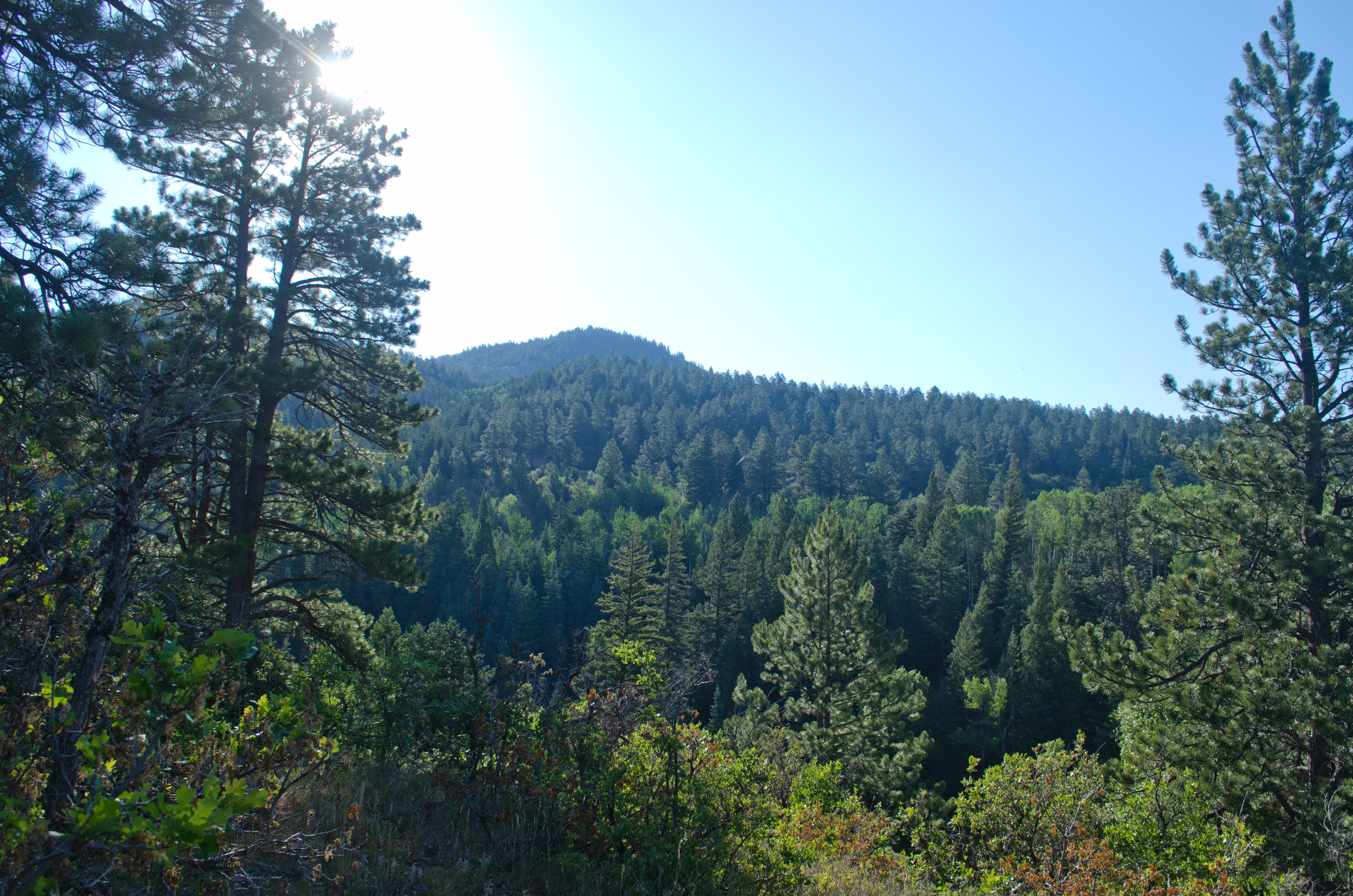
The View Across the Valley
Conejos Canyon
Canyon View

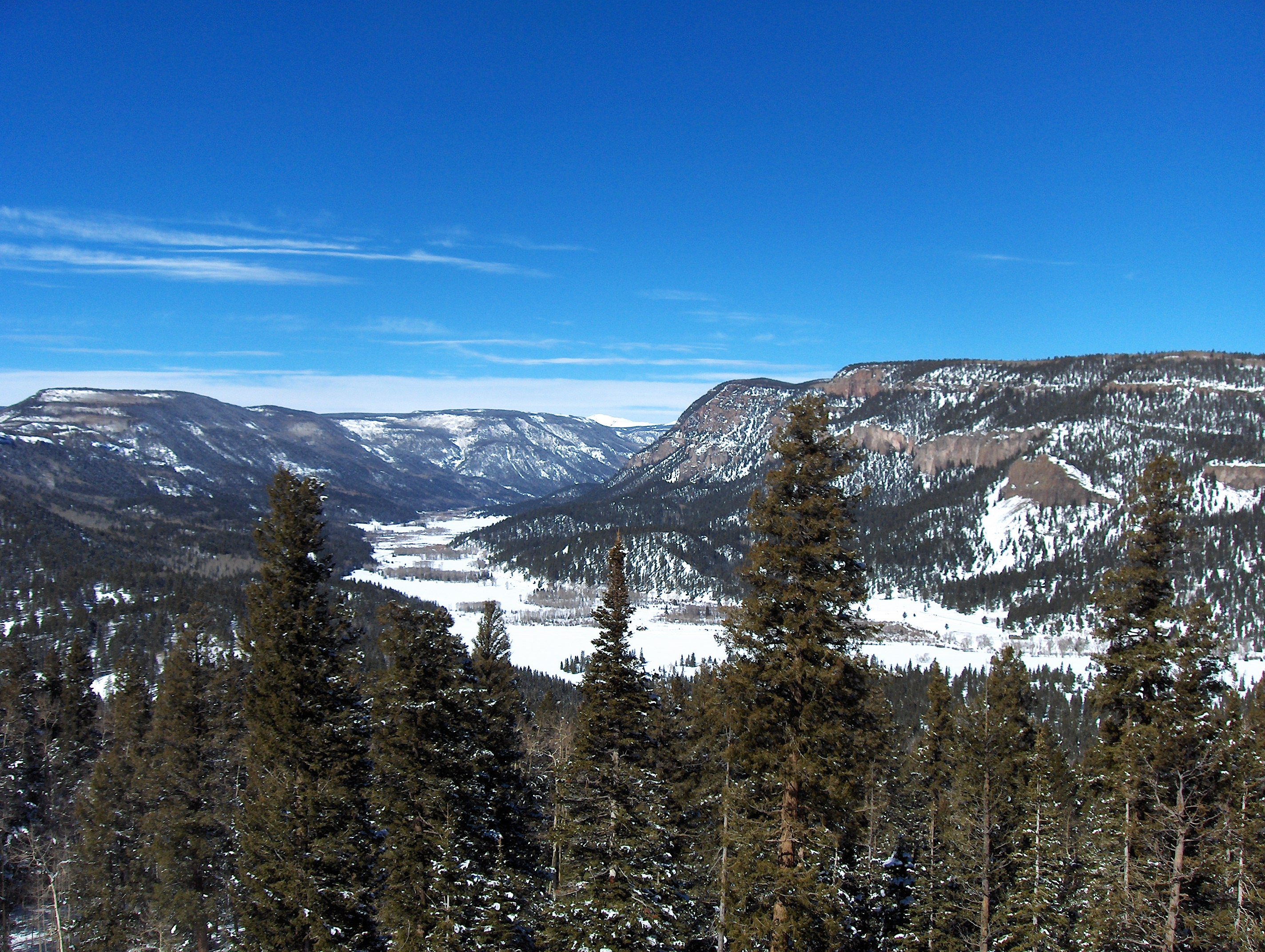
the view from Windy Point
CO/NM Border near Cumbres Pass

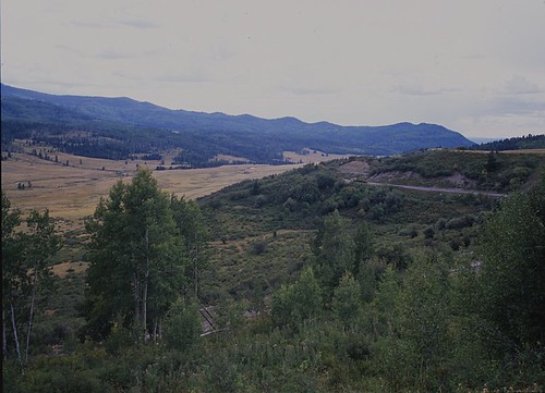
Entering Conejos Canyon on Highway 17
The view
Topographic Map of Osier Mesa, New Mexico, USA
Find elevation by address:

Places near Osier Mesa, New Mexico, USA:
Neff Mountain
Cumbres Pass
Osier Station
Brazos Ridge Hp
Pinorealosa Mountain
Osier Mountain
Deer Park
1615 Clarke Mountain Ln
Colorado 17
Clarke Mountain Road
Clarke Mountain Road
481 Massey Creek Rd
16 Pinon Dr
158 4th St
Chama
3rd Street
Banco Julian
South Riverview Road
South Riverview Road
Co Rd F, Antonito, CO, USA
Recent Searches:
- Elevation of Corso Fratelli Cairoli, 35, Macerata MC, Italy
- Elevation of Tallevast Rd, Sarasota, FL, USA
- Elevation of 4th St E, Sonoma, CA, USA
- Elevation of Black Hollow Rd, Pennsdale, PA, USA
- Elevation of Oakland Ave, Williamsport, PA, USA
- Elevation of Pedrógão Grande, Portugal
- Elevation of Klee Dr, Martinsburg, WV, USA
- Elevation of Via Roma, Pieranica CR, Italy
- Elevation of Tavkvetili Mountain, Georgia
- Elevation of Hartfords Bluff Cir, Mt Pleasant, SC, USA