Elevation of Central Ave, Union City, CA, USA
Location: United States > California > Alameda County > Union City >

Longitude: -122.03748

Latitude: 37.6010079

Elevation: 14m / 46feet

Barometric Pressure: 101KPa

Elevation Map:

elevation map of Central Ave, Union City, CA, USA
Satellite Map:

Satellite map of Central Ave, Union City, CA, USA
Related Photos:

pink blue sky sun flower canon star ii 7d wheats 1635mm project365 photobycindy
In the middle of grass
street blue trees usa house brick green ford lamp station clouds trash dumpster truck fire graffiti 1 us am garbage escape cloudy pov pavement teal balcony c united mason parking main lot pickup grand tags engines pontiac walls states hayward hybrid hdr mostviewed1 mostviewed7 mostviewed6 mostviewed10
Dumpster's Point of View
california ca pink sunset reflection window digital plane canon airplane flying los airport san francisco view angeles sfo seat aeroplane powershot international american boeing lax airlines americanairlines aa 737 windowseat s90 descending sanfranciscointernationalairport 4a canonpowershots90 canons90
Descending Into SFO 3
whitetailedkite whitetailed kite raptor bird birdinflight birdofprey elanus leucurus elanusleucurus coyotehills coyotehillspark fremont california juvenilebird juvenile sp186 blue bluesky sky
White-tailed Kite (Elanus leucurus) (sp. # 186)
simontsegay
Vivid Whispers
sky cloud sun rain clouds explore tuesday rays johnk blueribbonwinner explored golddragon d40x theperfectphotographer johnkrzesinski randomok
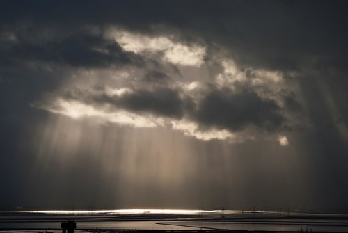
Rays of hope
coyote park ca wild reeds day cloudy fremont hills 100views wetlands grasses marsh fennel regional marshes 1354
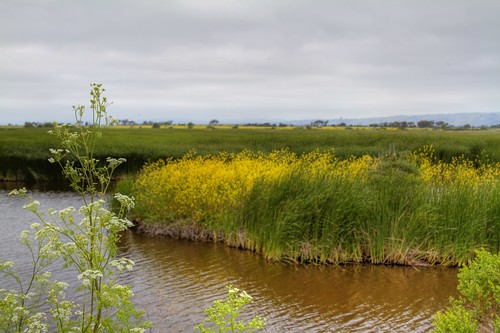
Thru the Reeds
california railroad bridge abstract abandoned aerial sanfranciscobay aerialphotograph sanmateocounty dumbartonbridge
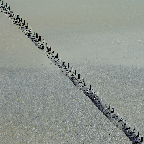
Aerial view of abandoned railroad bridge, San Mateo County, California
cedarwaxwing waxwing bombycilla cedrorum bombycillacedrorum edenlandingecologicalreserve edenlanding unioncity california edenshore edenshorespark hayward bird feeding nature wildlife blue sky passerine passerinebird eatingberries
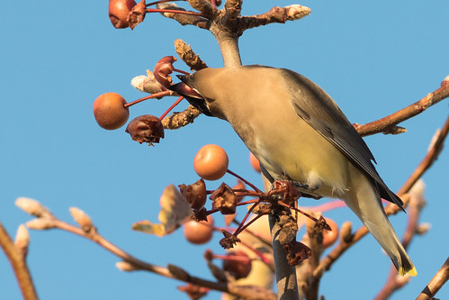
Almost got it! ~ Cedar Waxwing (Bombycilla cedrorum)
california bridge winter sunset panorama color water silhouette reflections bay nikon track view over january large rail panoramic southbay eastpaloalto stitched d800 dumbartonbridge 2015 boury pbo31 patrickboury
the gatekeeper
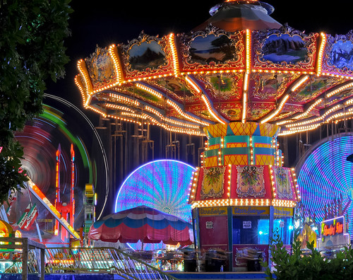
california above longexposure summer motion black color night dark lowlight nikon view ride spin over july spinning bayarea vista eastbay midway funfair pleasanton alamedacounty alamedacountyfair lightstream d700 2011northerncalifornia
wheels on fire
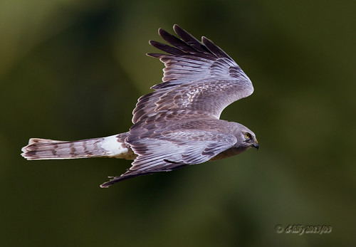
ngc flight northernharrier avianexcellence coyotehillsbirds2013
'out of nowhere'
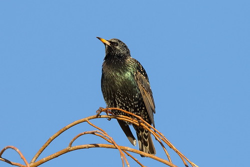
starling commonstarling europeanstarling sturnusvulgaris sturnus vulgaris edenlandingecologicalreserve edenlanding edenshorespark edenshore unioncity california bird perched nature blue sky sp201
Common Starling / European Starling (Sturnus vulgaris) (adult) (sp. # 201)
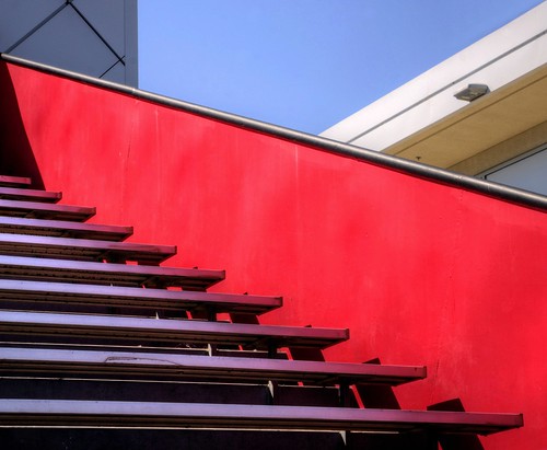
california fav50 unioncity minimalist hdr 3xp photomatix nex6 sel55210 loganstadium
Empty seats at the stadium
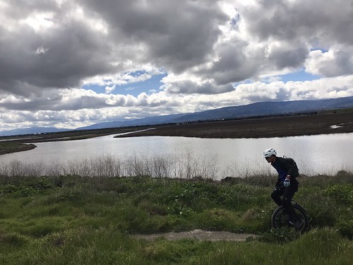
Off pavement unicycle ride
california bridge landscape bay saltpond sanfranciscobay coyotehills dumbartonbridge
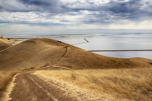
Golden Hills
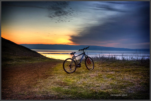
california sunset cycle hdr coyotehills keepingfit exercing suvrangshughoshphotography suvghoshphotography committobefitkeepexercising sunserbike sunsetlandscapewaterscapecanon5d
Commit to be fit , keep exercising
View From a Library Carrel
california above park summer sky orange brown color northerncalifornia yellow nikon track publictransportation view purple metro bart august latenight transit commute bayarea eastbay unioncity d200 southbay 2008 skyway bartstation traffictrails lightstream
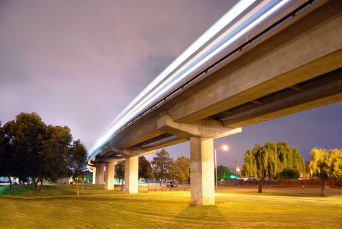
park and ride
sanfrancisco california park travel viaje usa nature northerncalifornia america trekking landscape photography oakland berkeley travels hiking earth lifestyle paisaje fremont trail sanfranciscobayarea bayarea viagem northamerica siliconvalley eastbay norcal traveling westcoast senderismo wandern usgs passeio sfbay alamedacounty westoakland missionpeak estadosunidos sanpancho ohlone eeuu regionalpark californien landscapephotography monumentpeak mountallison trailing eastbayregionalparkdistrict californiastate ארצותהברית ohlonecollege unitedstatesgeologicalsurvey landschaftsfotografie missionpeakregionalpreserve peaktrail patikointi калифорния étatsunis californiacoastrange regionalpreserve hiddenvalleytrail peakmeadowtrail californië landskapsfotografi randonnéepédestre hoakỳ соединённыештатыамерики krajinskafotografija fotografíadepaisaje missionpeeker đibộđườngdài пешеходныйтуризм
Mission Peak Regional Park, Fremont, California USA
square squareformat iphoneography instagramapp uploaded:by=instagram foursquare:venue=4c4cc79650710f47cac8a032
View of our back door. Nice! #superwayaquarium #hayward #fishstore #stararts #mural #seaturtle #regal #underthesea
california park green square landscape spring trail hollingsworth garin garindrycreekpioneerregionalparks iphoneography uploaded:by=flickrmobile flickriosapp:filter=nofilter
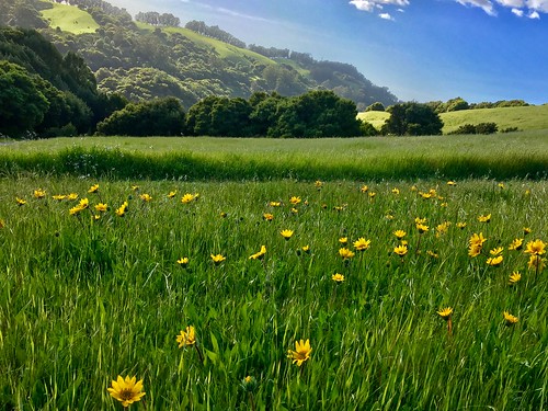
Trail to the Yellow Flowers
bird birds bravo quality wren marshwren cistothoruspalustris birdoftheday specnature specanimal
Marsh Wren
hills sky grass landscape drycreekregionalpark gavindrycreekregionalpark drycreekpioneerregionalpark hayward california eastbayregionalparkdistrict sanfranciscobayarea nature usa abelalcantarphotography ebparksok
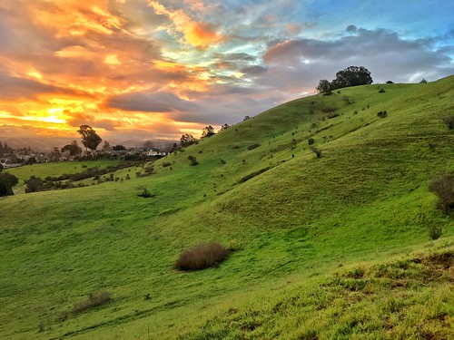
Green Slopes
sunset snow storm rain fog night sunrise day cloudy clear pwgen pwwinter pwfall pwpartlycloudy
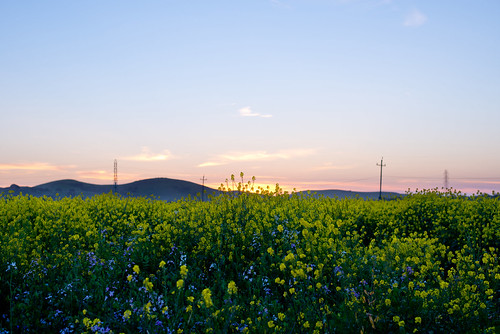
Mustard Flowers Field
california sky flower tree landscape spring nikon day deadtree bayarea wildflower mustardflower nikond800 pwpartlycloudy pwspring
Memory of March
2016 castrovalley fivecanyonspark
Five Canyons Park 20161012
california ca flower landscape meadow meadows fremont wildflowers coyotehills earlyspring fremontca
Wild Mustard Field 3 of 12
ebparksok
Lake Chabot
california coyote tree nature field yellow square landscape spring fremont hills coyotehills hollingsworth iphone5 iphoneography hipstamatic uploaded:by=flickrmobile flickriosapp:filter=nofilter
Tree in Yellow Field
ebparksok
Lake Chabot
Cotoye Hills Regional Park 11.jpg
instagramapp square squareformat iphoneography uploaded:by=instagram
Something about these hills...remind me of Shrek.
wild sky nature yellow clouds landscape spring pretty mustard hollingsworth ellow firld iphone5 iphoneography uploaded:by=flickrmobile flickriosapp:filter=nofilter
Mustard field
california ca city longexposure favorite usa mist lake tree beautiful fog canon landscape landscapes interesting famous attitude bayarea canon60d
A foggy night in California
california sunset fremont coyotehills ebparksok
No Name Trail
california birds northerncalifornia ngc hummingbirds eastbay alamedacounty allenshummingbird selasphorussasin coyotehillsregionalpark avianexcellence
Allen's Hummingbird
2015 cattle clouds flowers garinregional
Garin 20150227
bird canon fremont 7d western coyotehills meadowlark birdperfect
Hello! I'm Western Meadowlark
california longexposure sunset nature zeiss landscape bay nikon fremont donedwards hdr marshland distagon d600 25mmf2 distagont225
A Candle Burns Brightest
square squareformat iphoneography instagramapp xproii uploaded:by=instagram
"There's more beauty in truth, even if it is dreadful beauty." John Steinbeck, East of Eden