Elevation of Center Parcs Allgäu, Allgäuallee 40, Leutkirch im Allgäu, Germany
Location: Germany > Baden-württemberg > Tübingen > Leutkirch Im Allgäu >
Longitude: 10.0563355
Latitude: 47.7879259
Elevation: 686m / 2251feet
Barometric Pressure: 93KPa
Elevation Map:
Satellite Map:
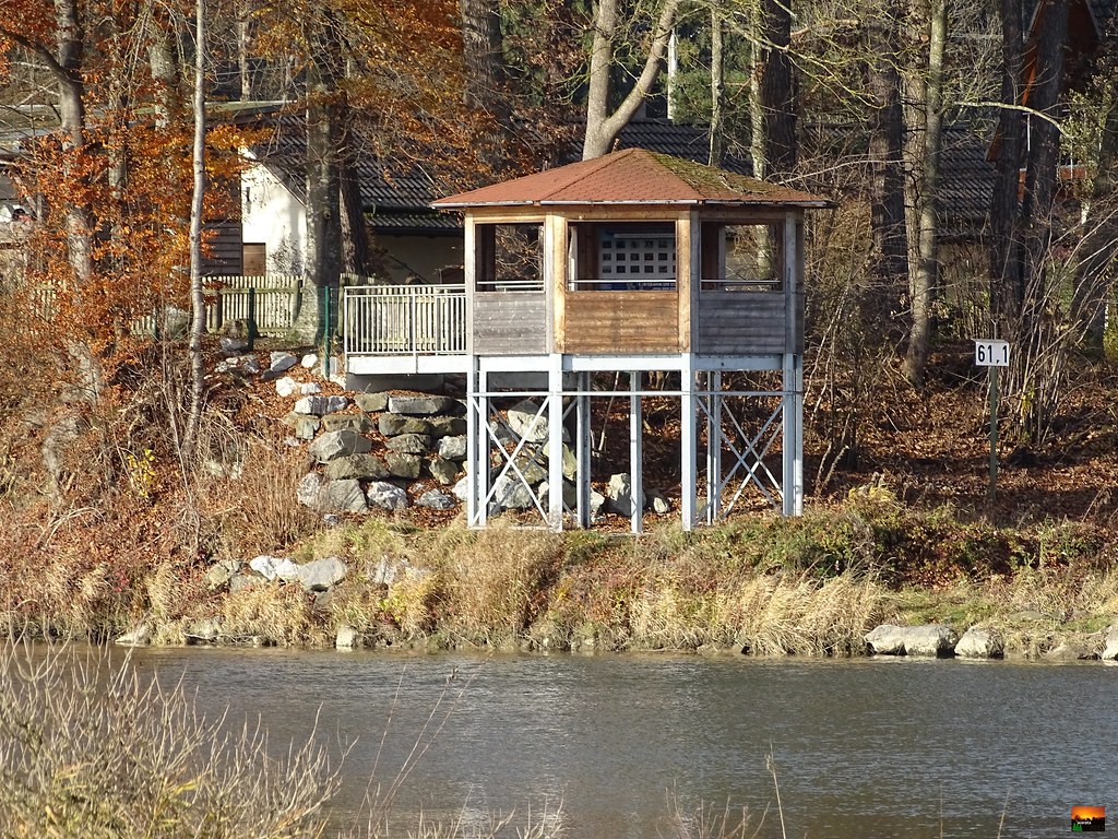
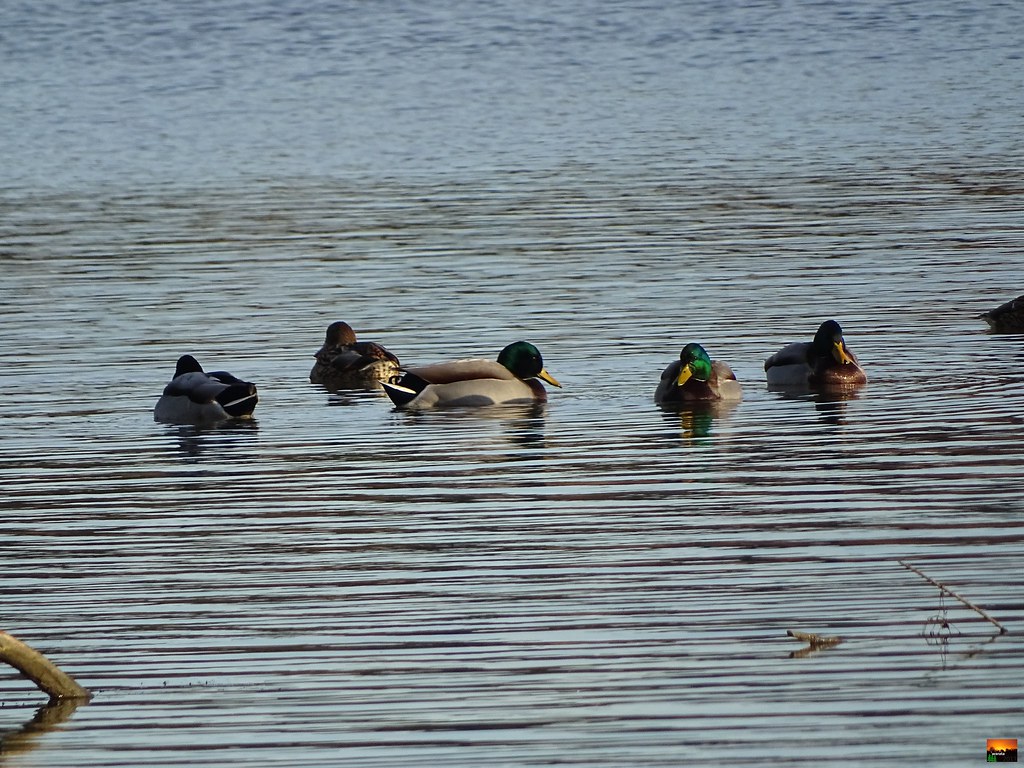
Related Photos:
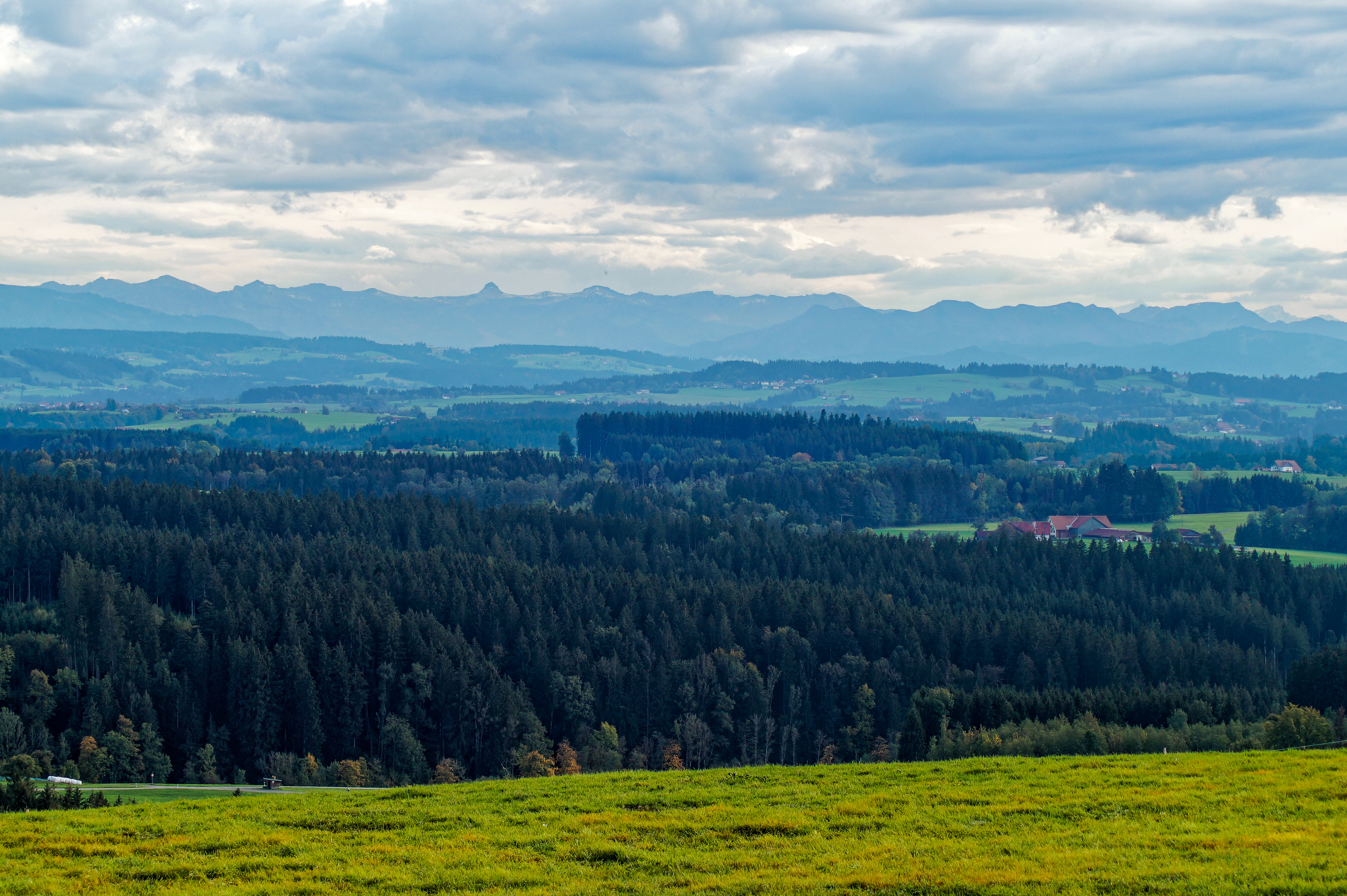
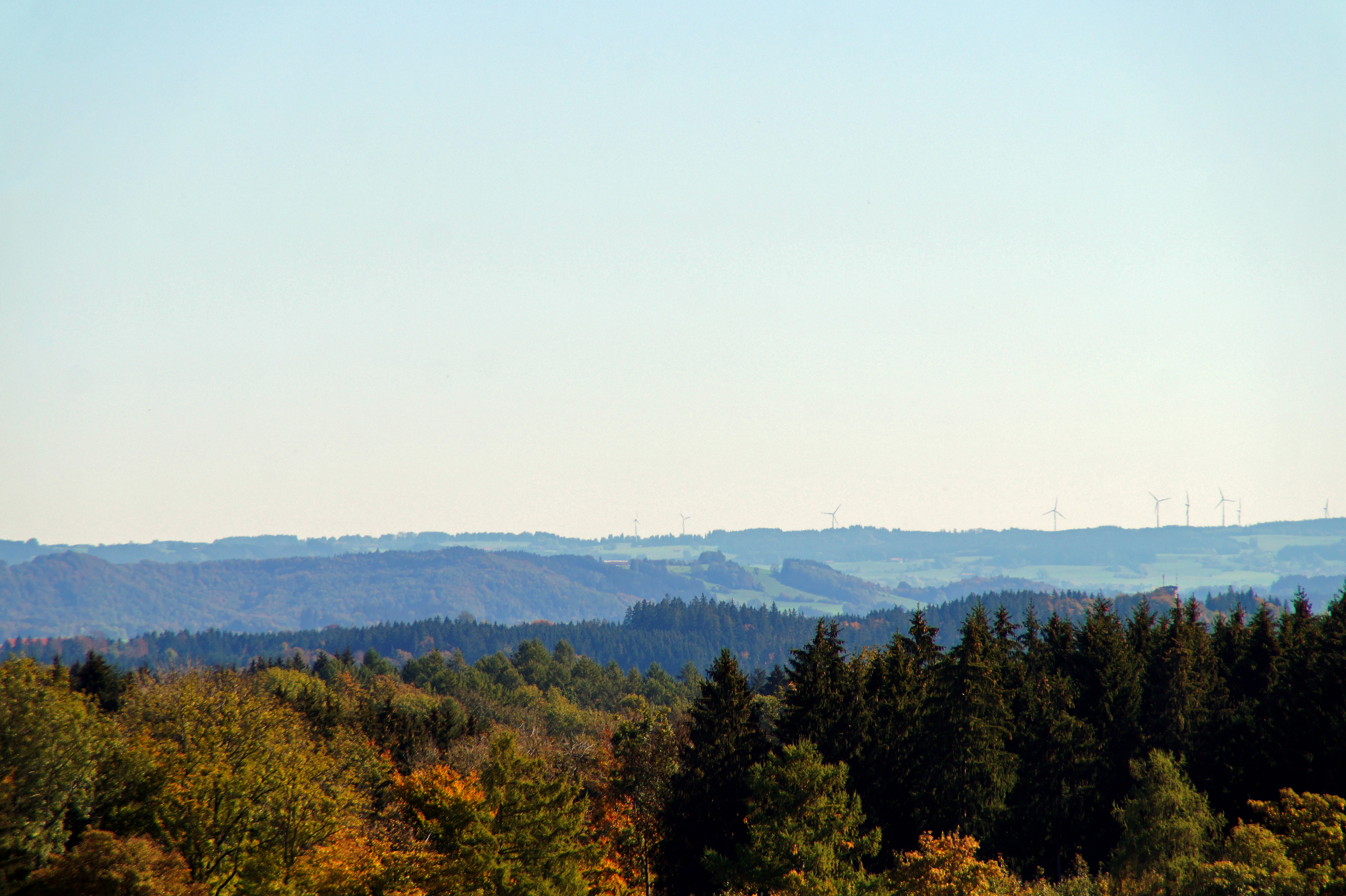
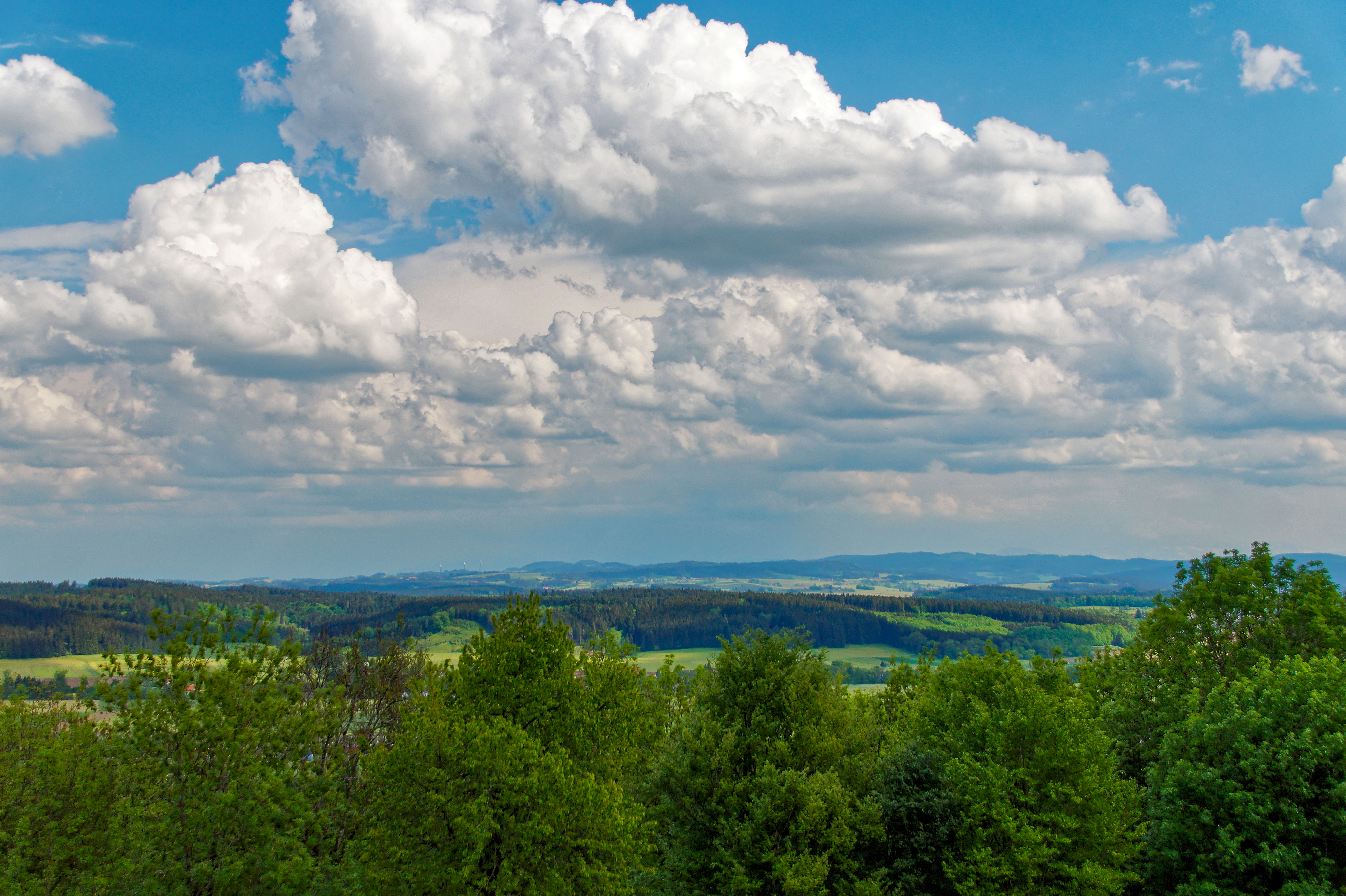
View of the Alps from Ruine Ratzenried
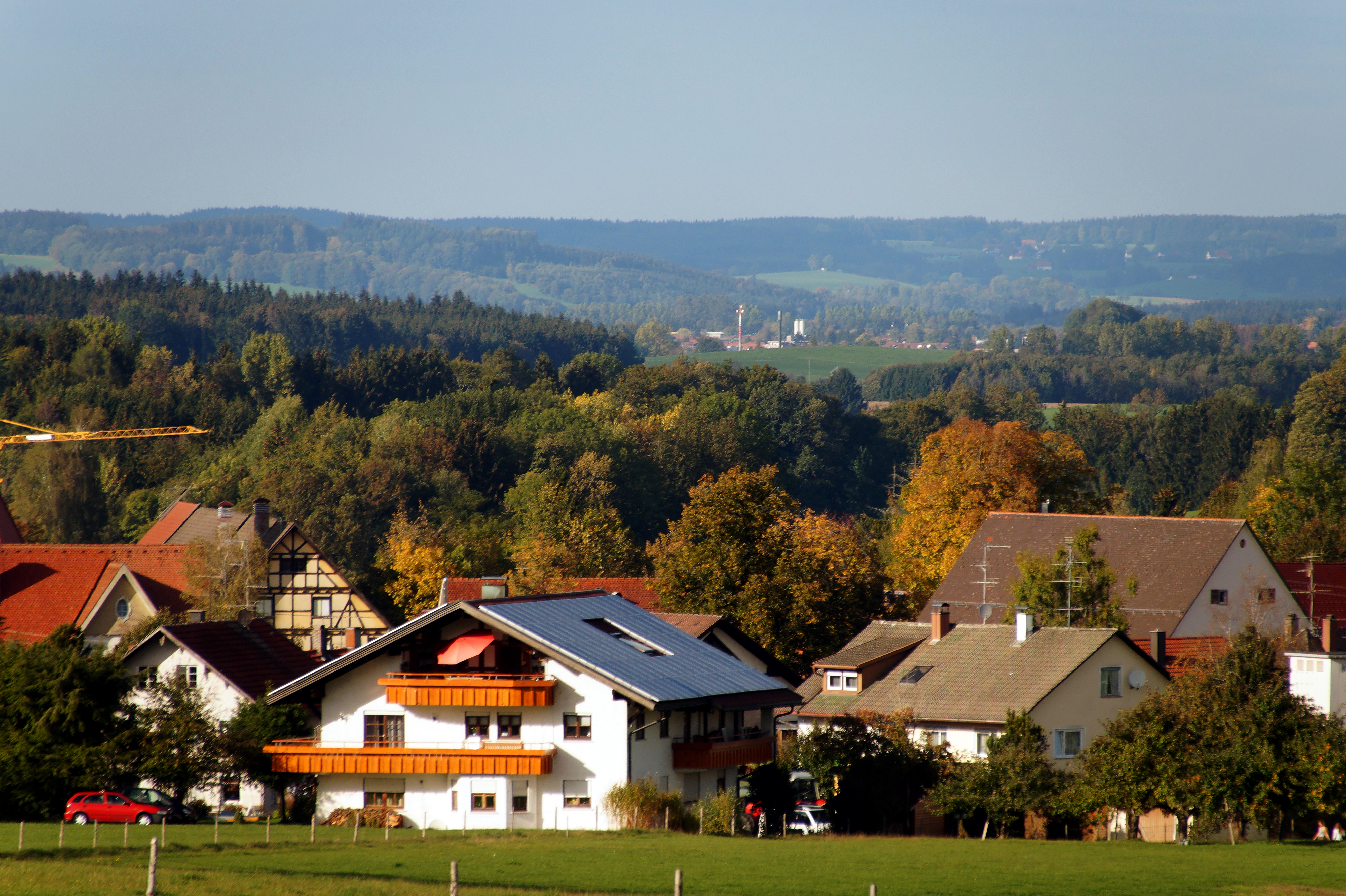
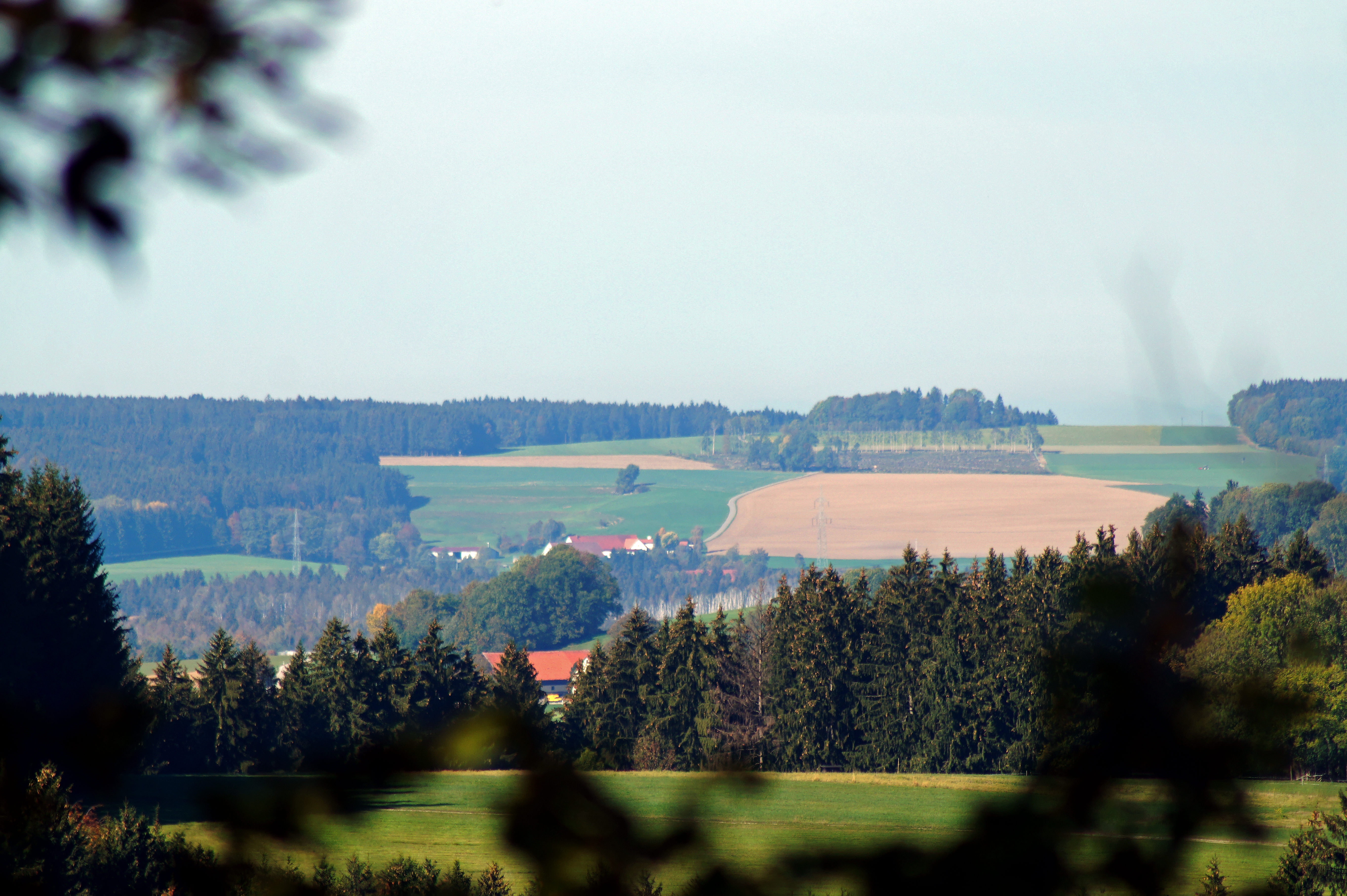
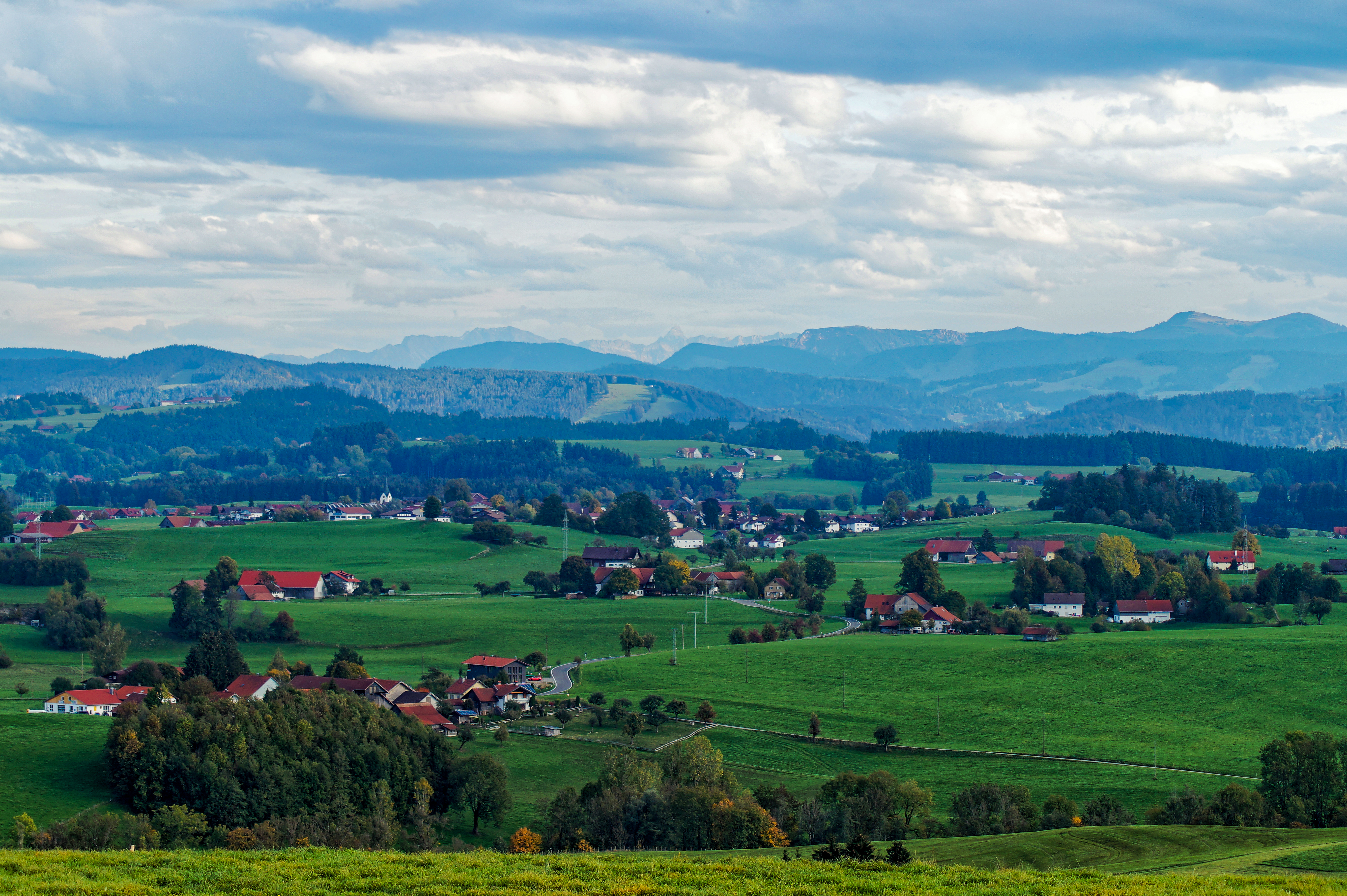
View towards Goppertshofen
View of the Alps from the Wachbühl
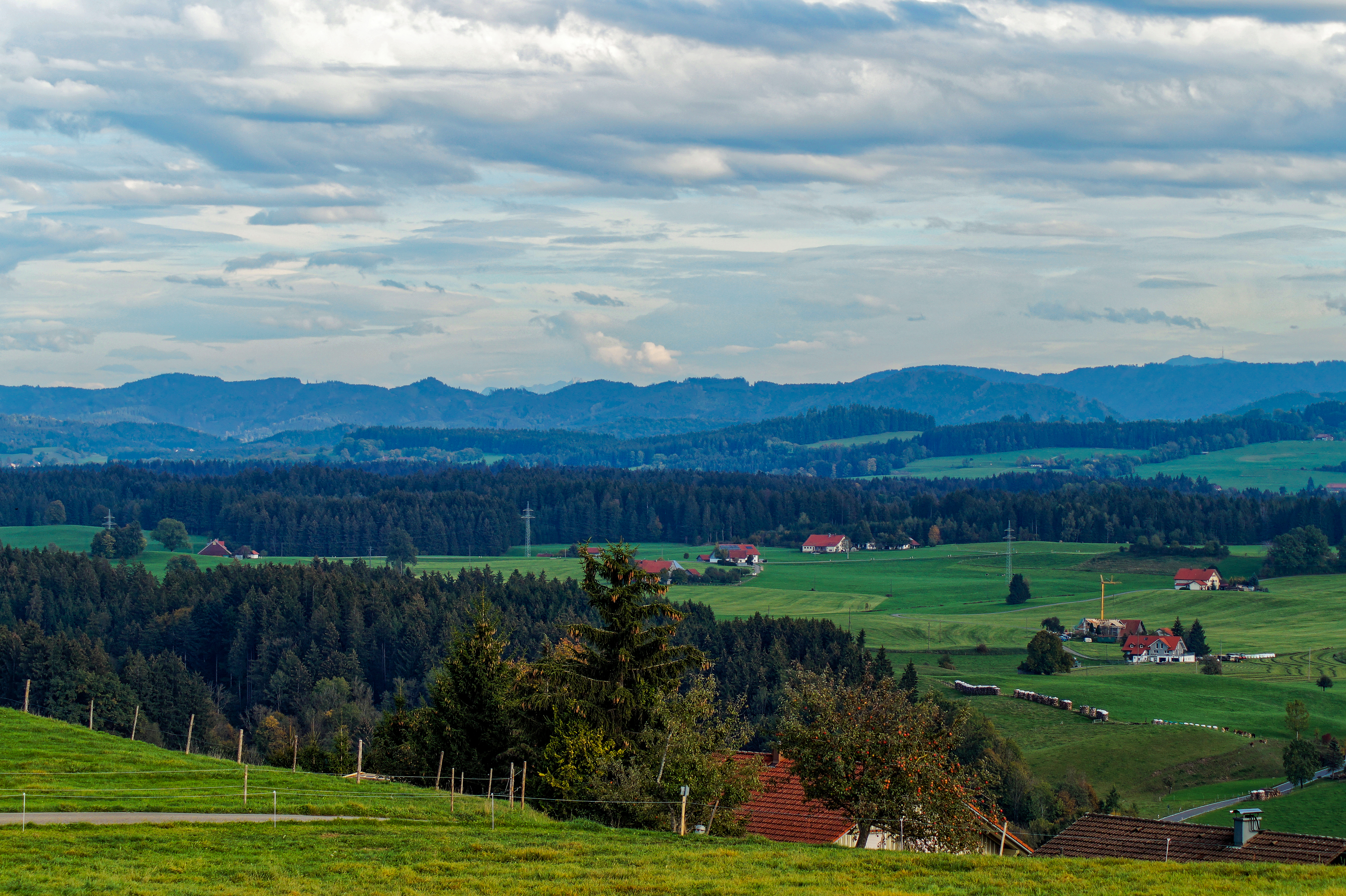
View of the Allgäu from the Siggener Höhe
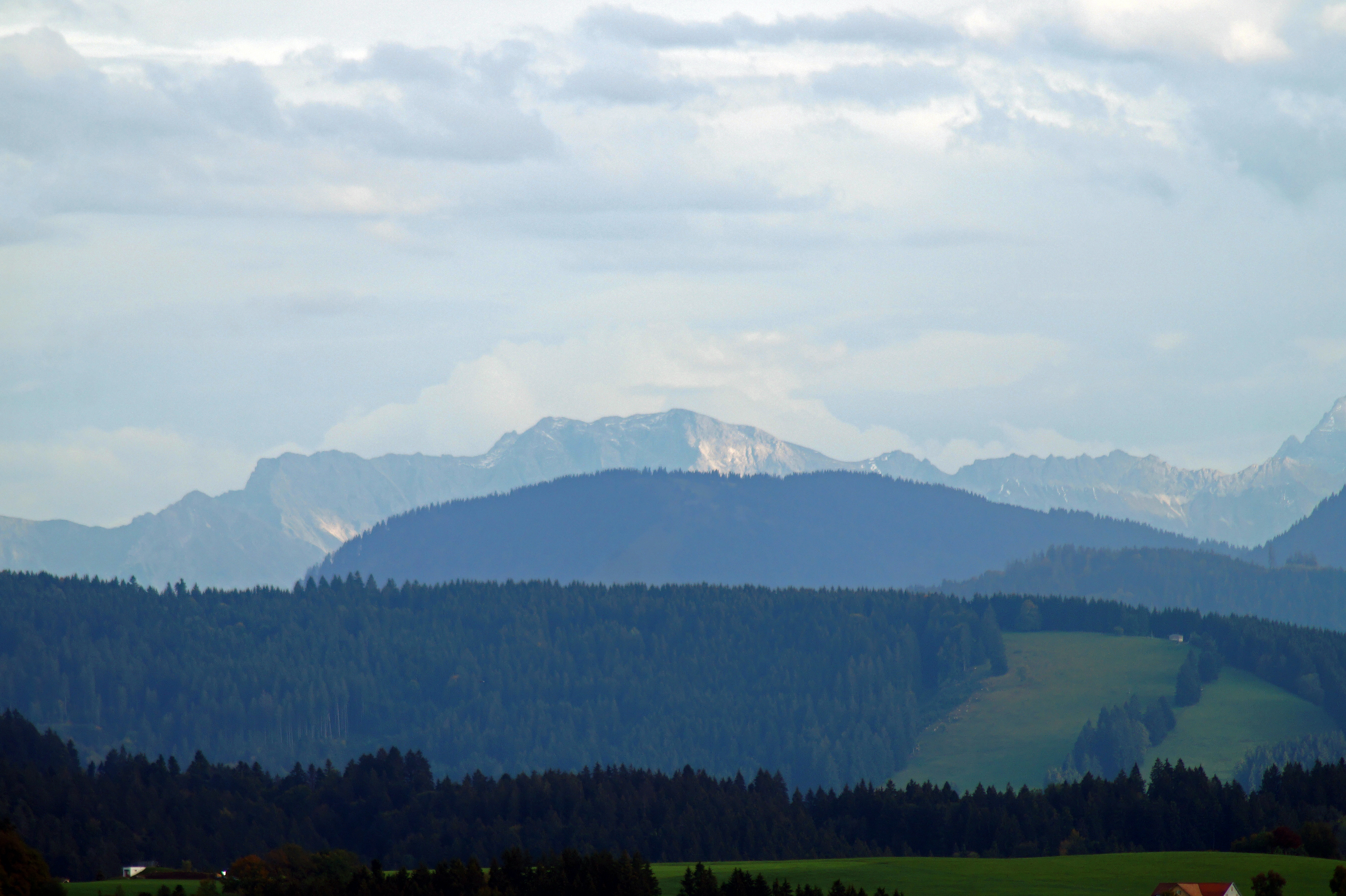
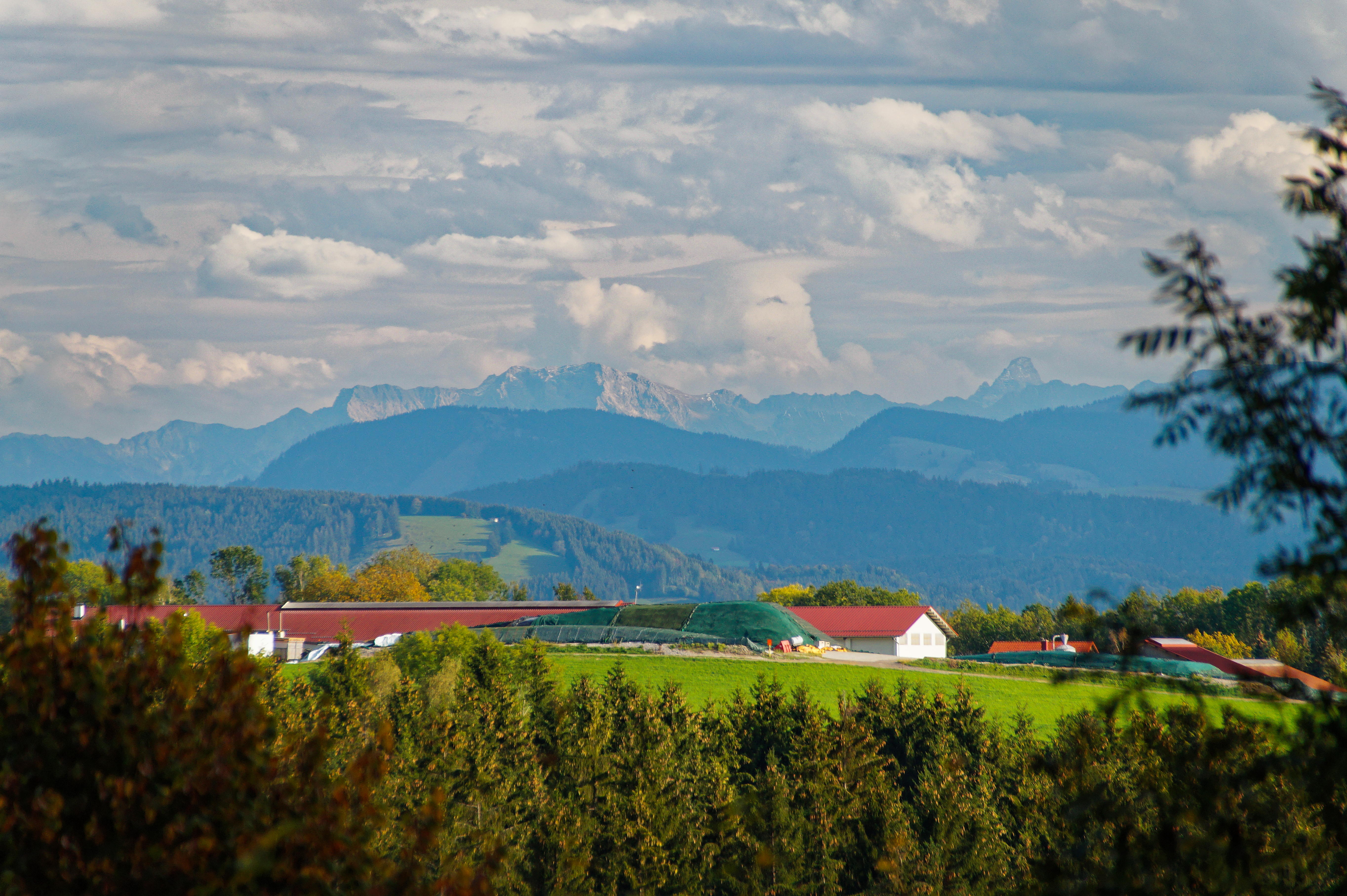
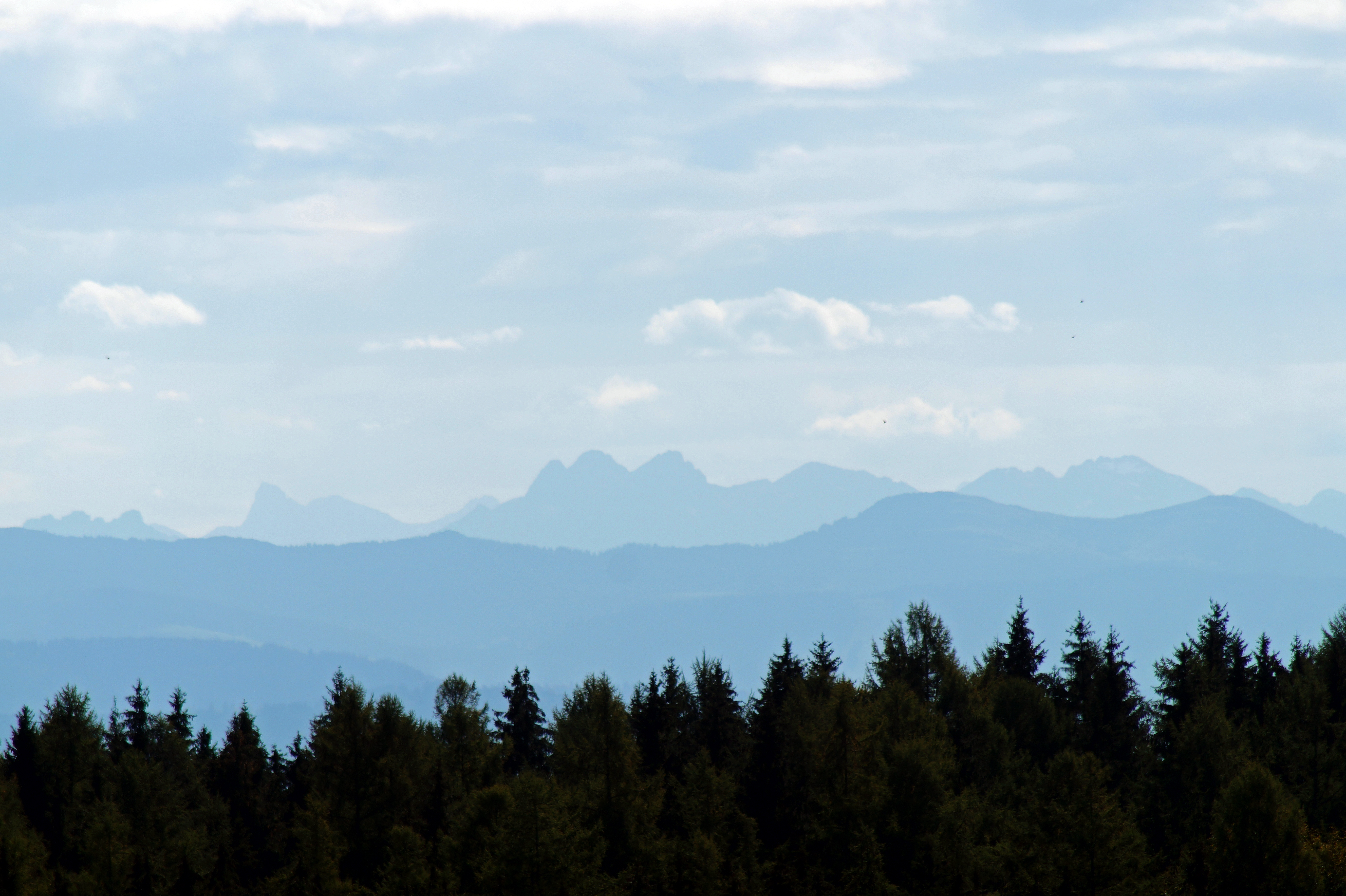
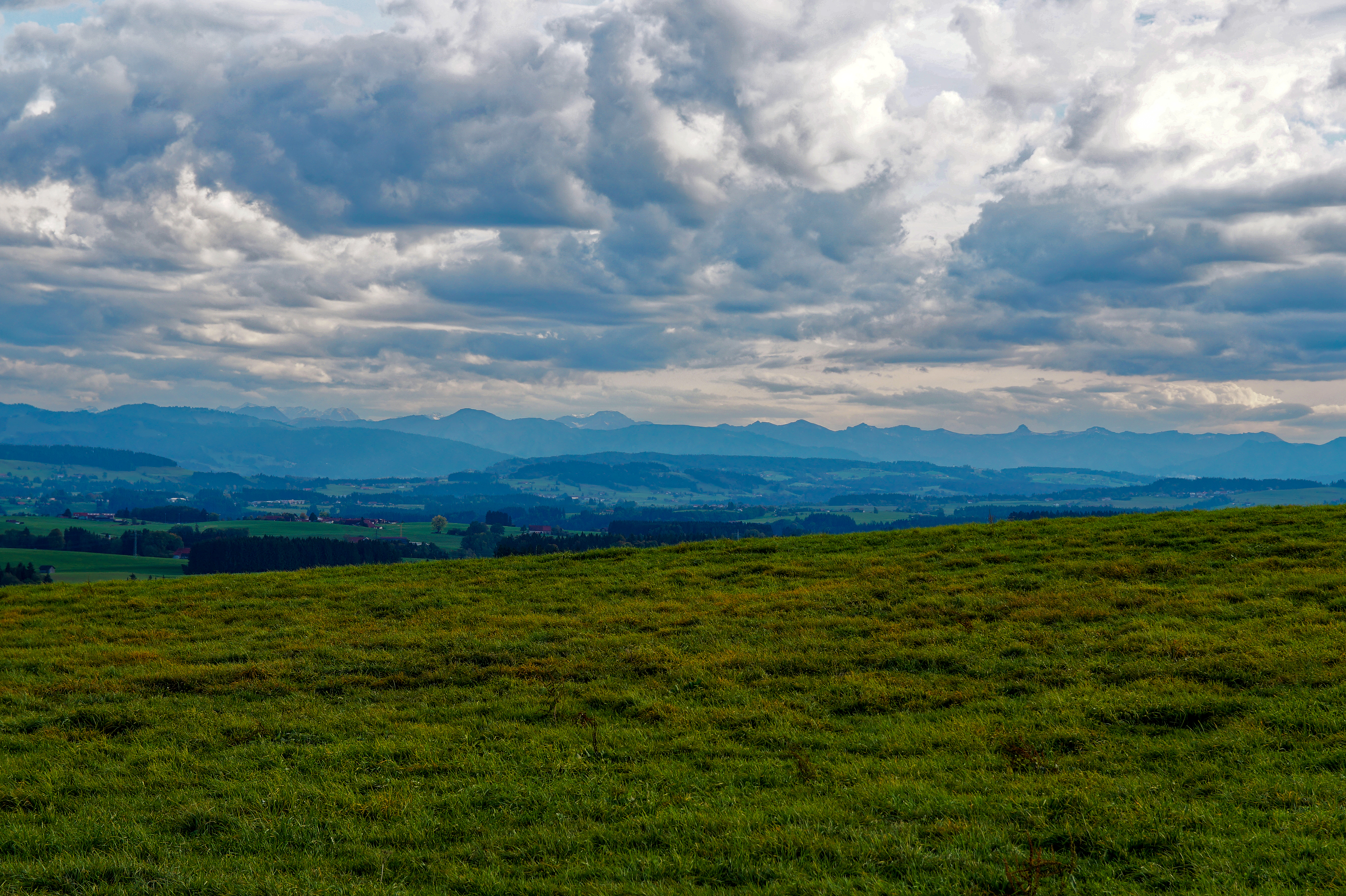
View of the Alps
View of the Alps
View towards the Grabener Höhe
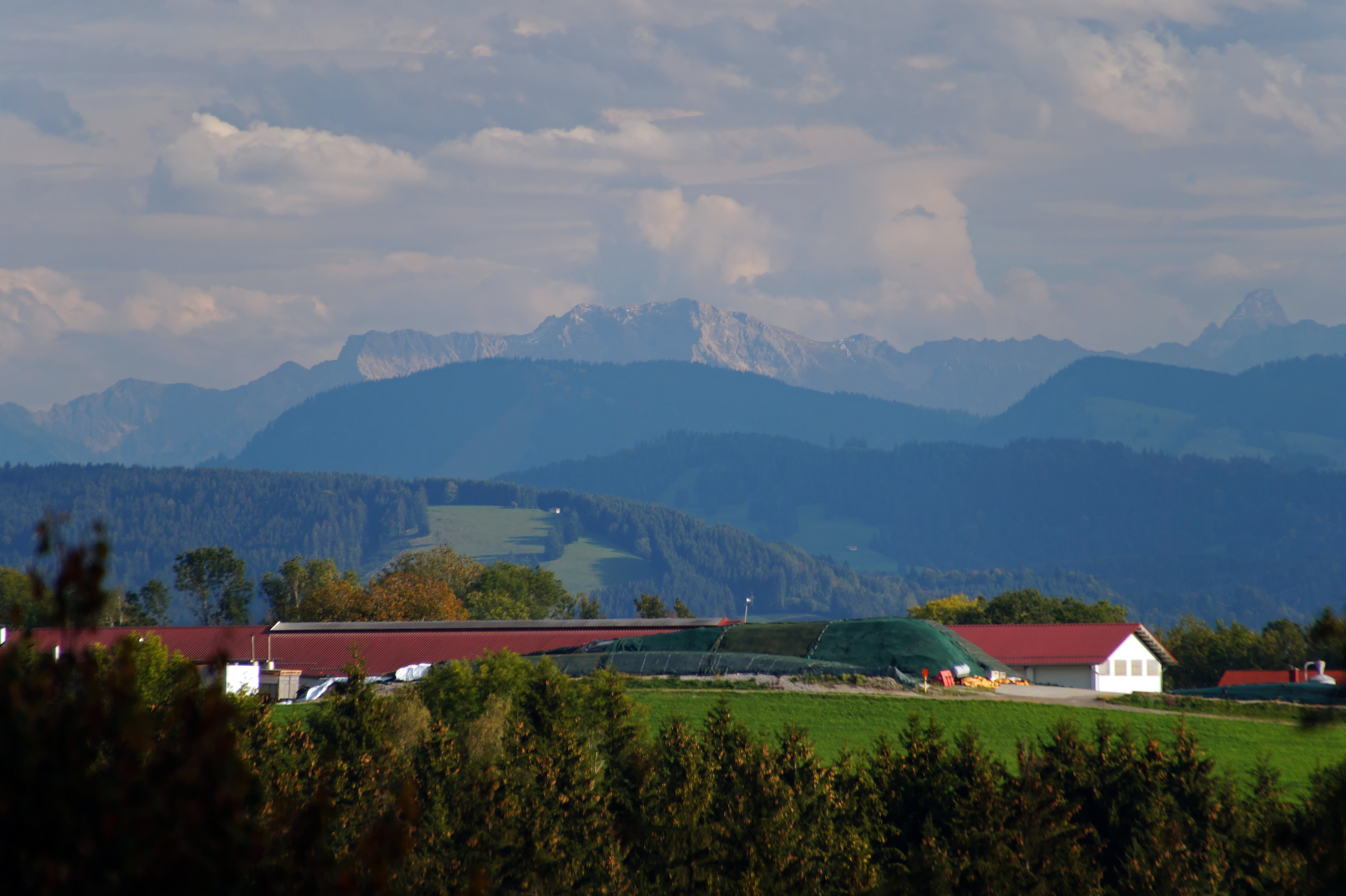
View towards the Alps
View of the Alps from Ruine Ratzenried
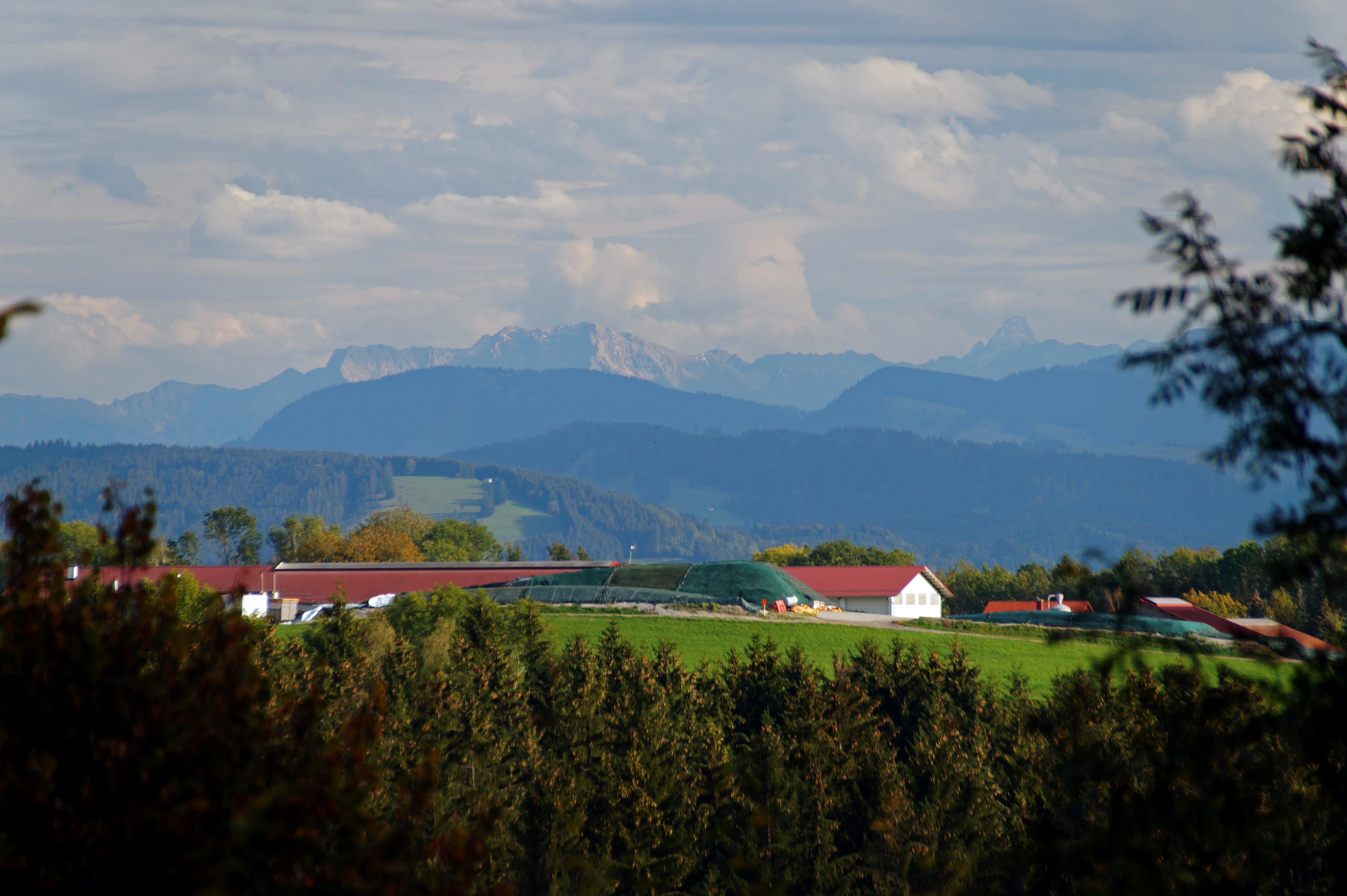
View towards Eisenharz
View of the Alps from Ruine Ratzenried
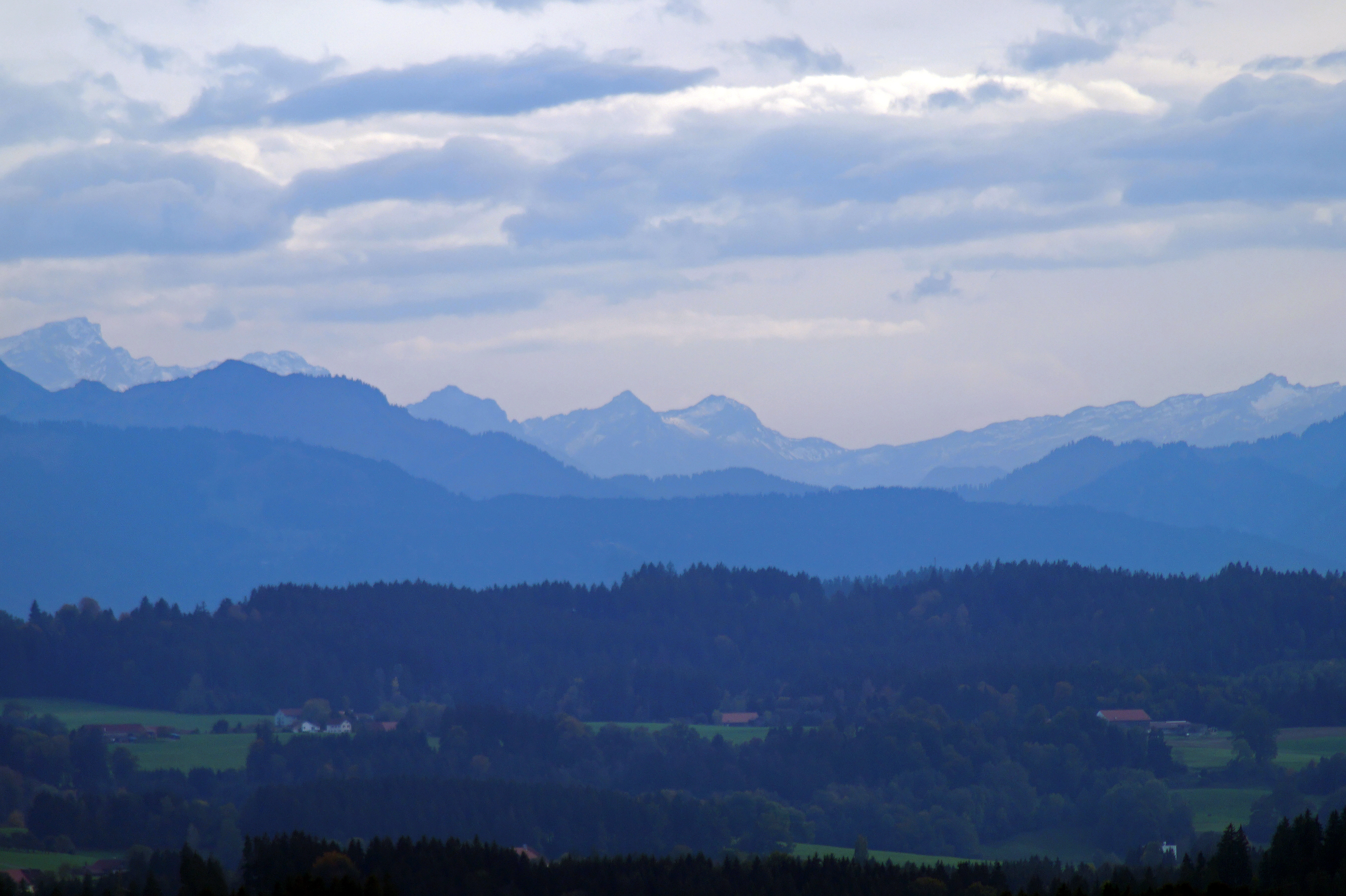
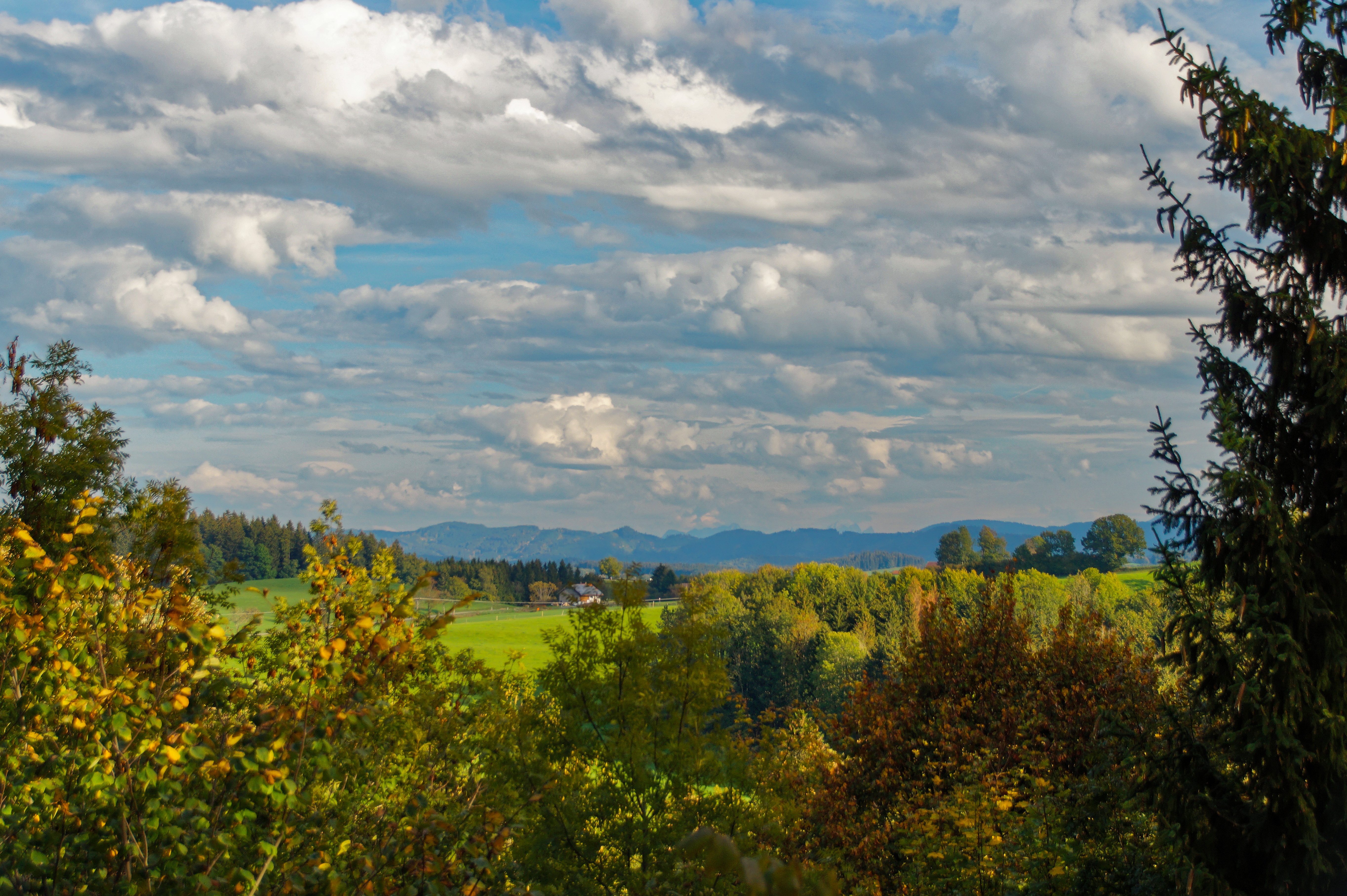
View towards the Alps
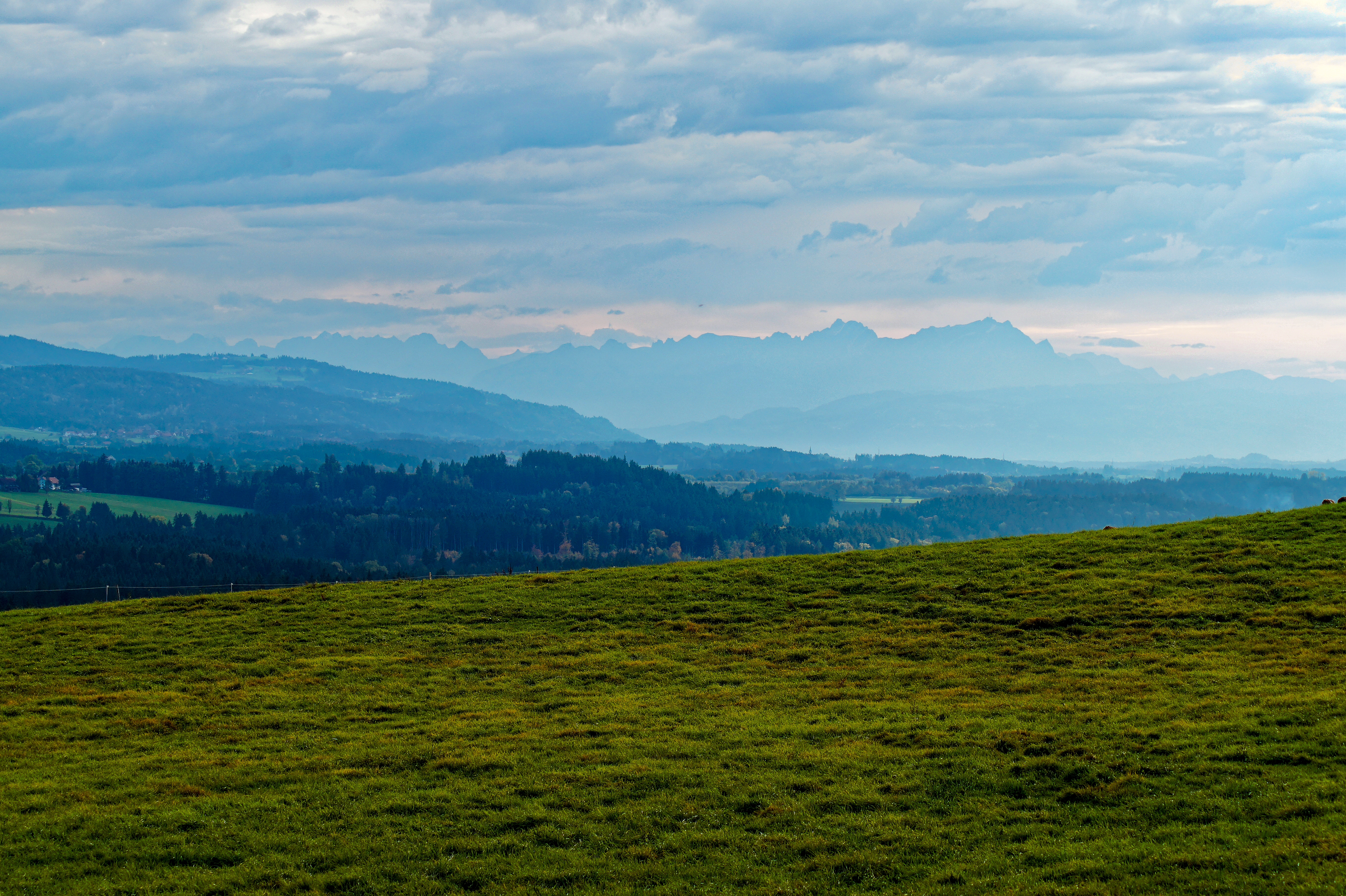
View towards the Alps
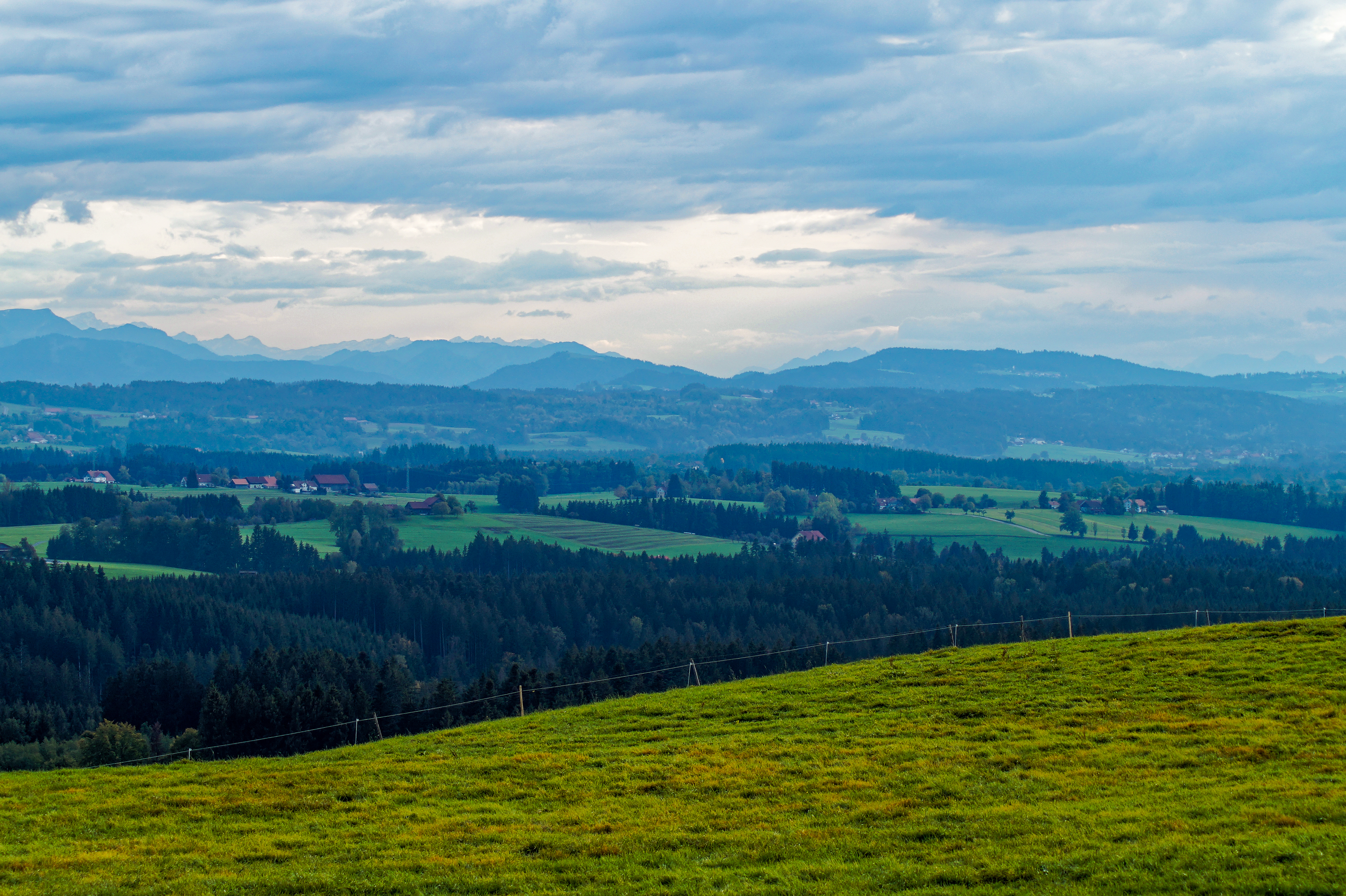
View towards the Alps
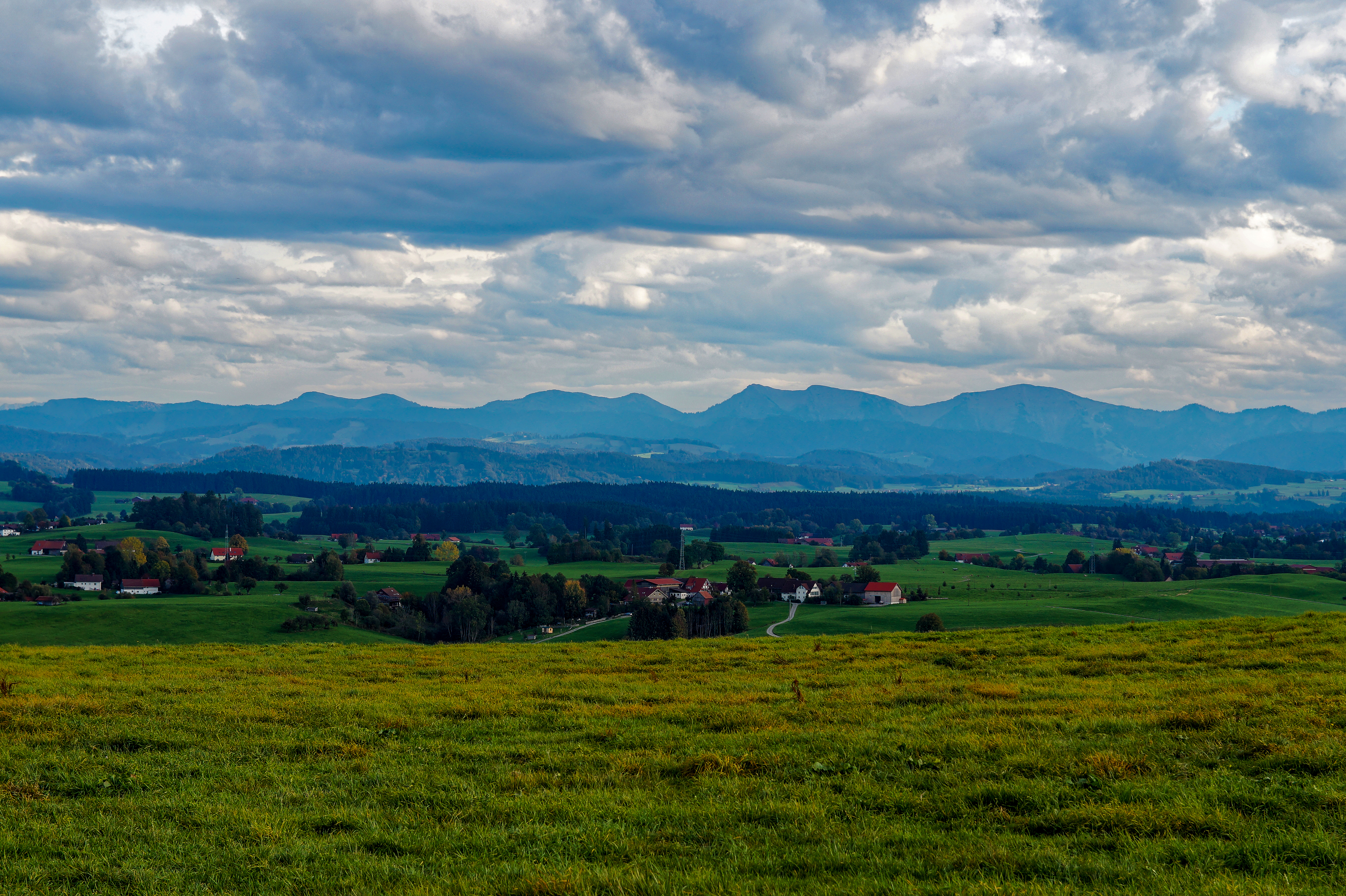
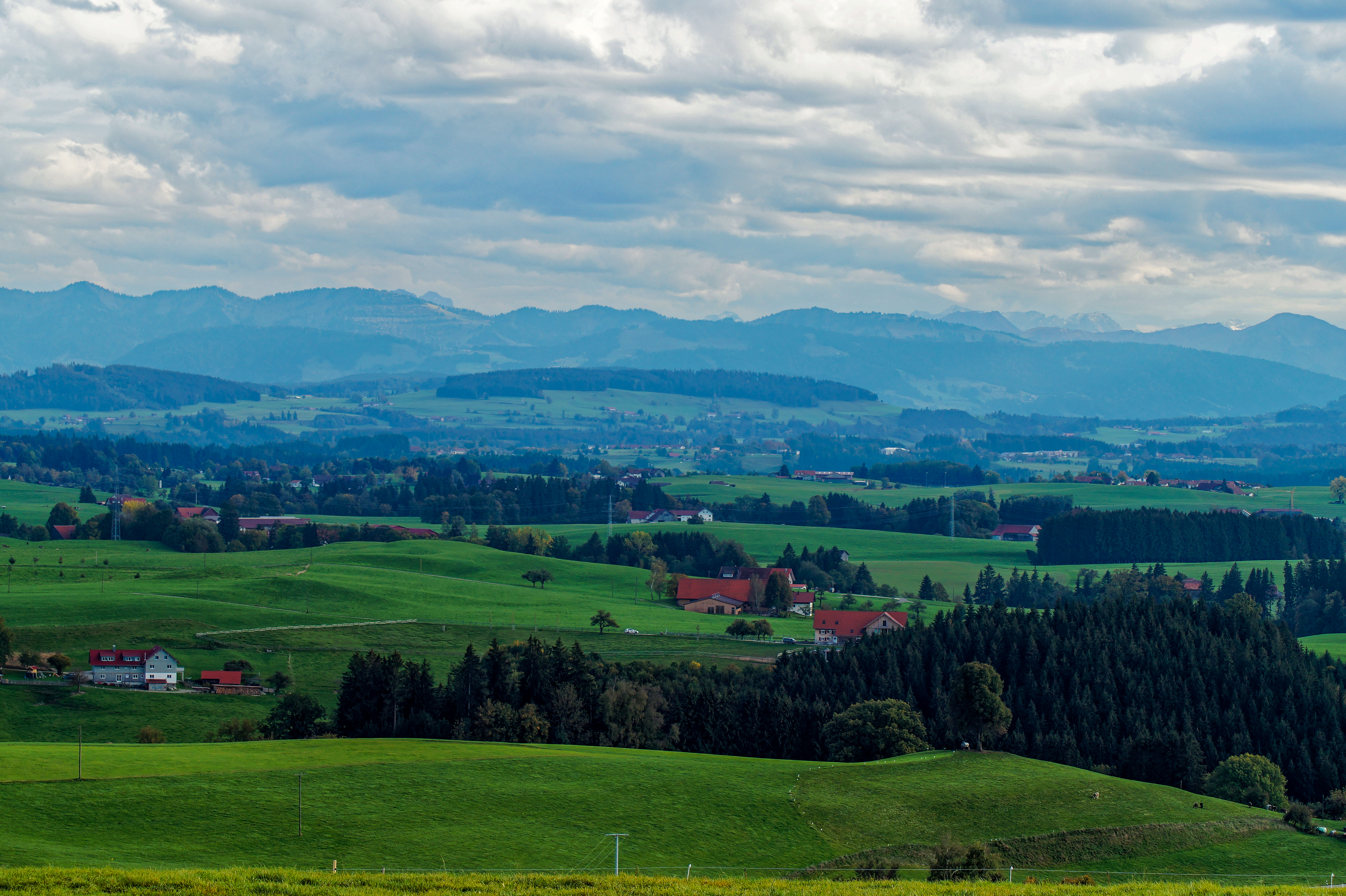
View of the Allgäu and the Alps
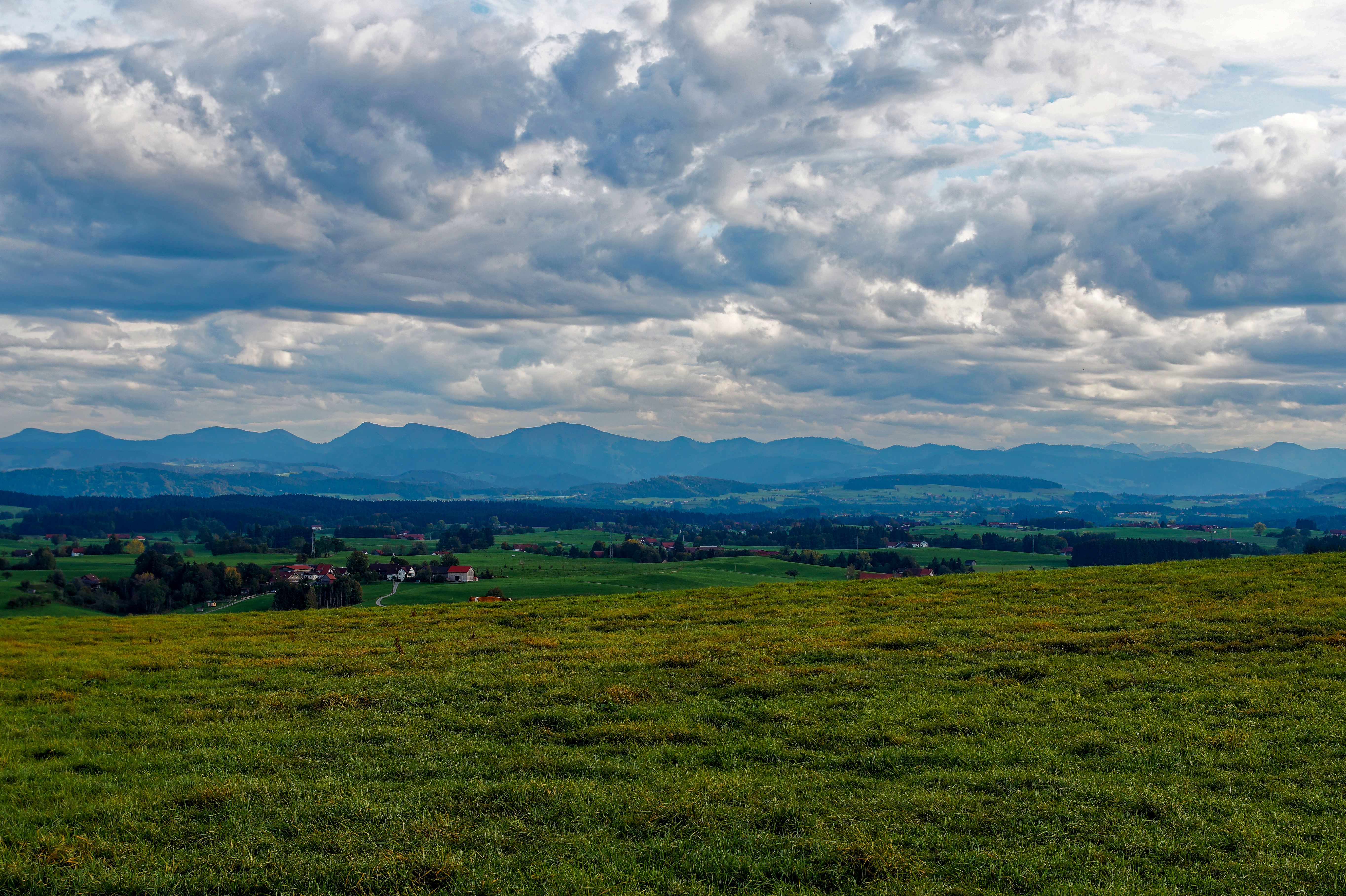
View of the Westallgäu and the Alps
View of the Allgäu and the Alps
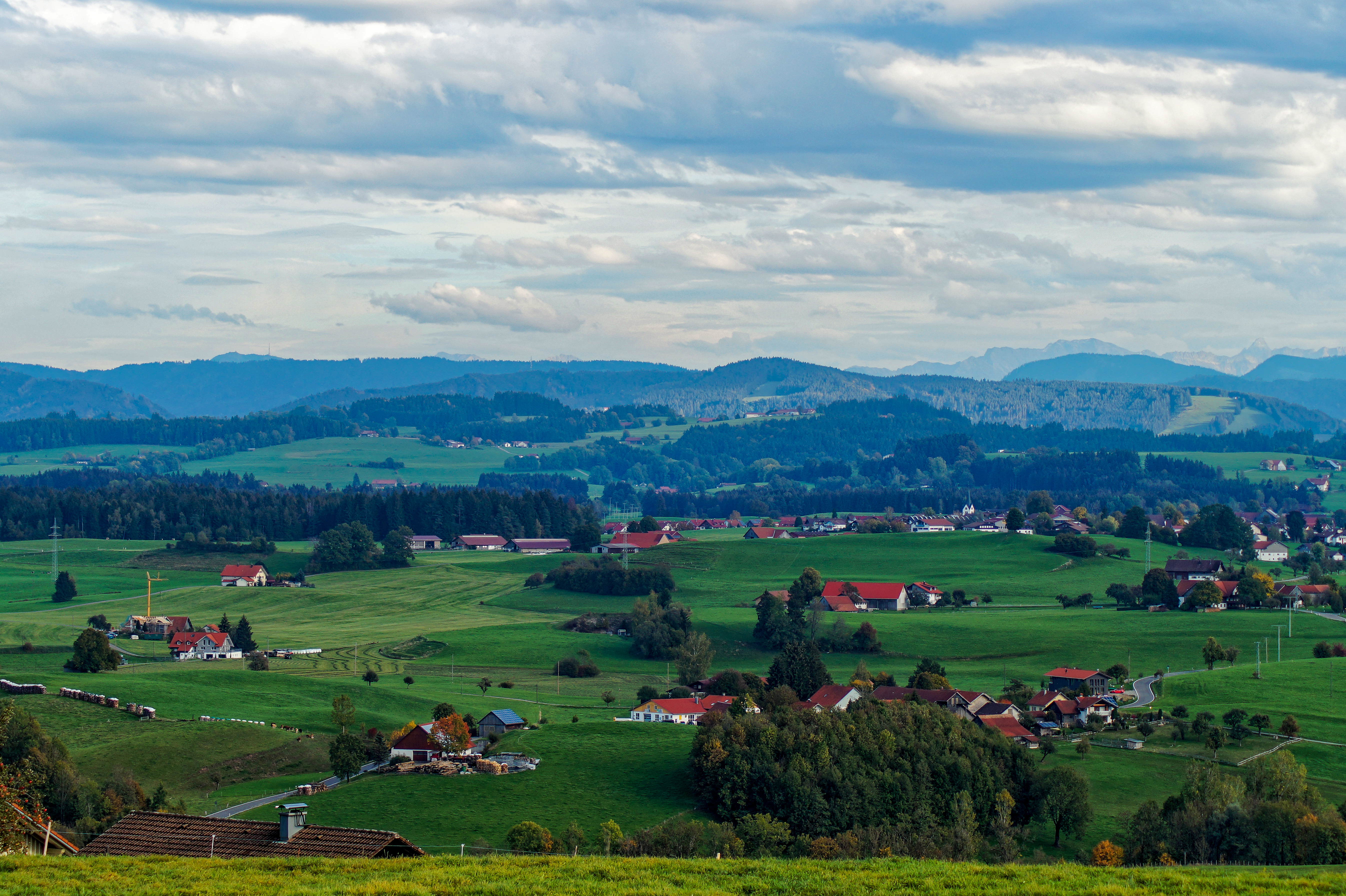
View of the Allgäu from the Siggener Höhe
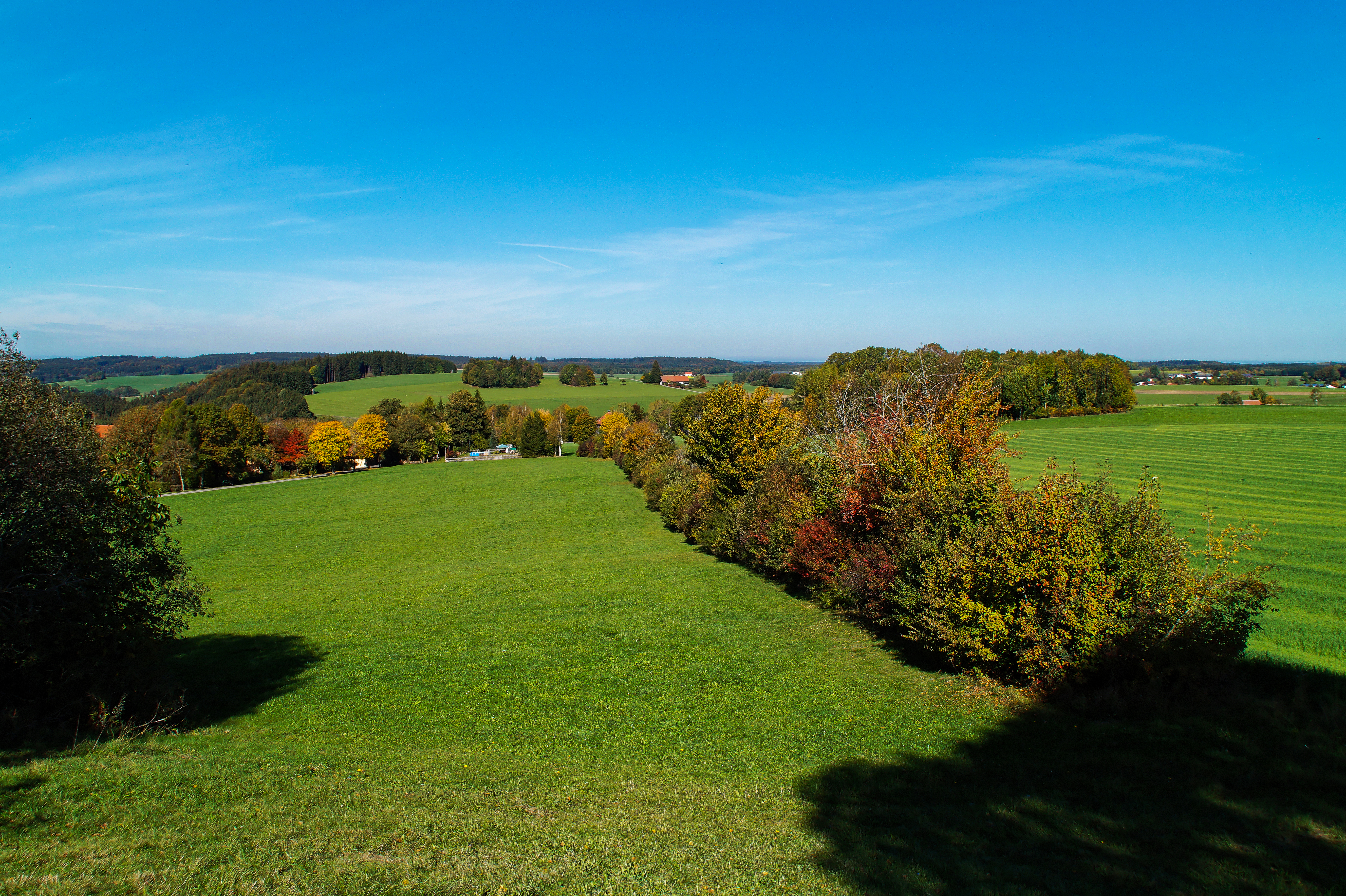
View from the Wachbühl to the west
View of the Alps from Ruine Ratzenried
View from the Wachbühl to the southeast
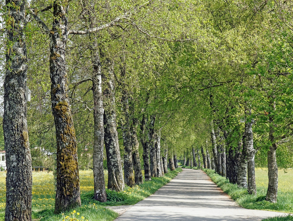
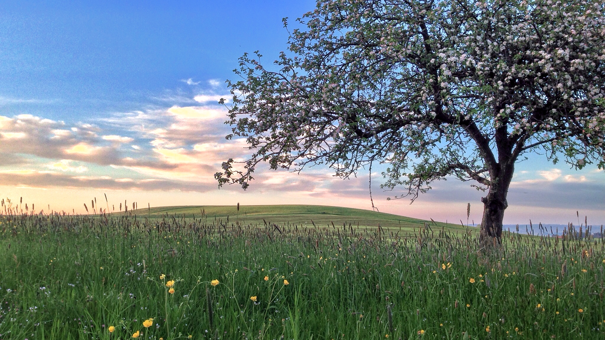
Do you still know the fresh green of spring ~ EXPLORE

An der Iller
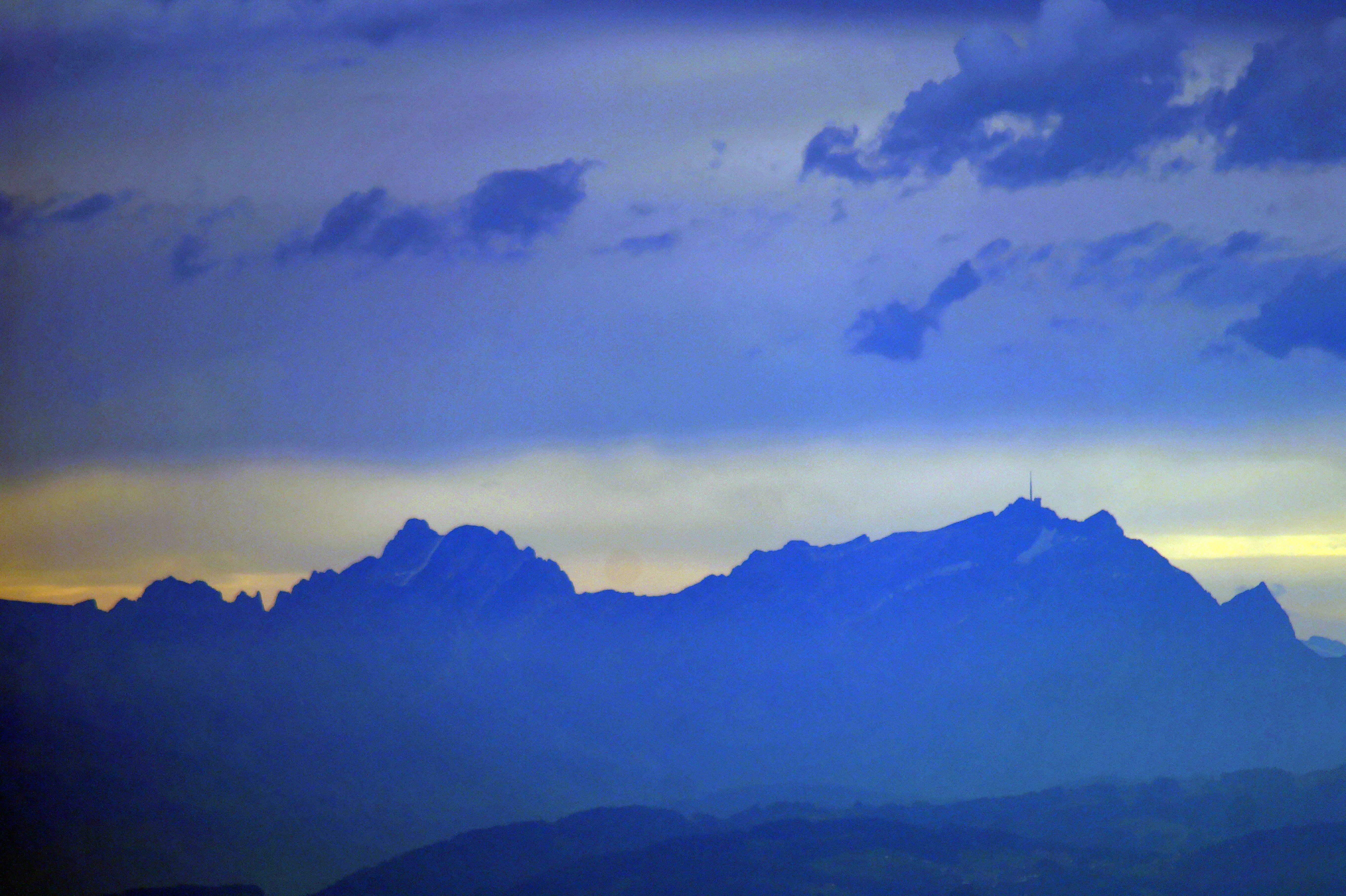
Altmann and Säntis
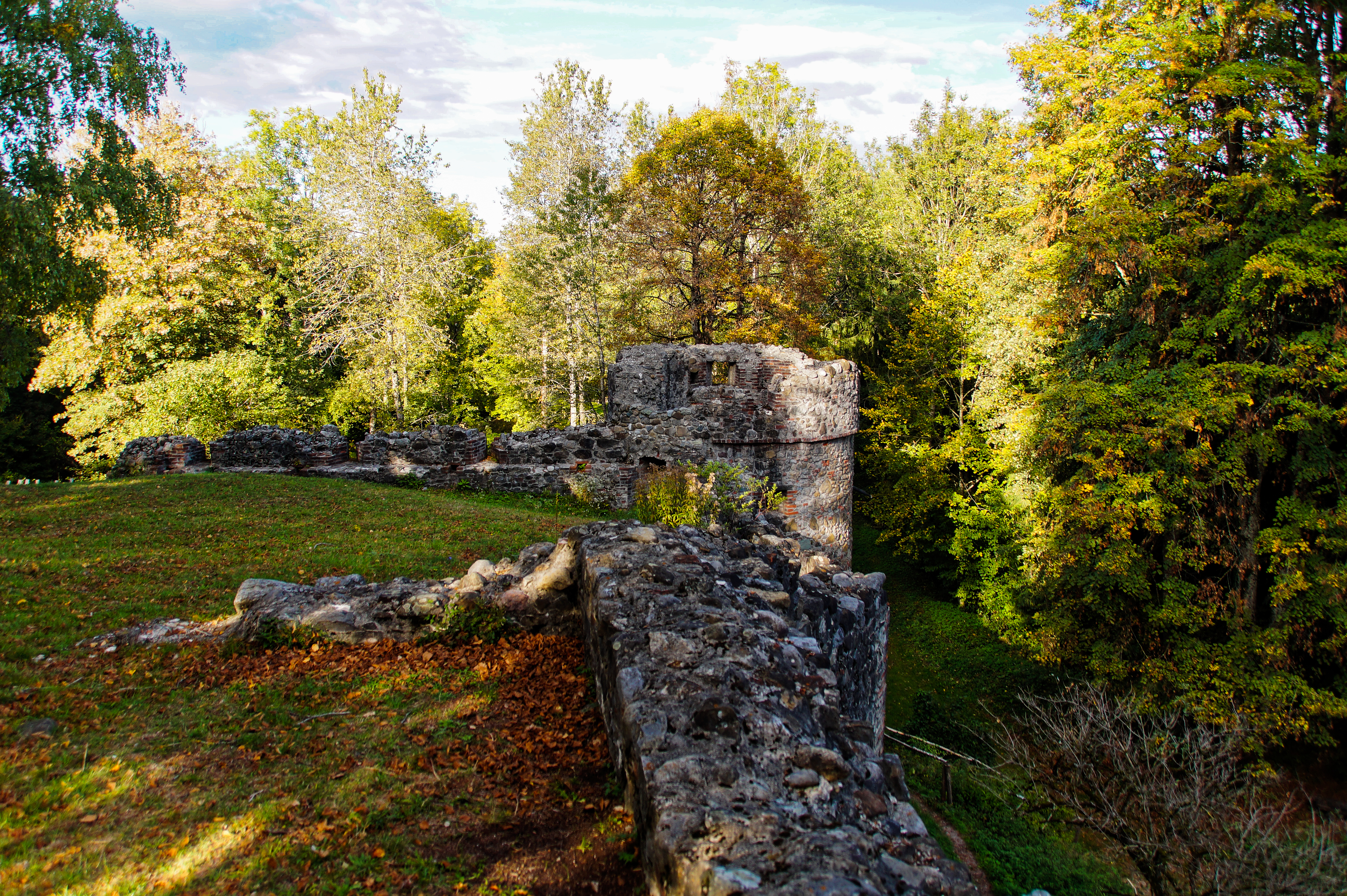
Ruine Ratzenried
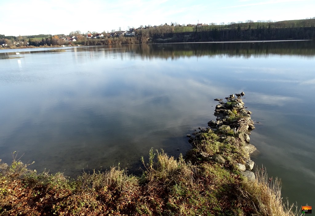
Iller -der Fluss > am Illerstau Lautrach / Iller-the river > at the Iller jam Lautrach / Iller-la rivière> à la prairie humide d'Iller Lautrach

Ruine Kalden
Iller -der Fluss > am Illerstau Lautrach / Iller-the river > at the Iller jam Lautrach
View in eastern direction from Schloss Zeil
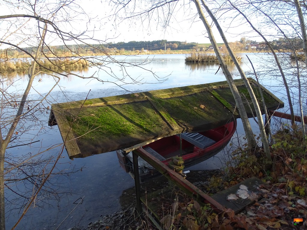
Iller -der Fluss > am Illerstau Lautrach / Iller-the river > at the Iller jam Lautrach / Iller-la rivière> à la prairie humide d'Iller Lautrach
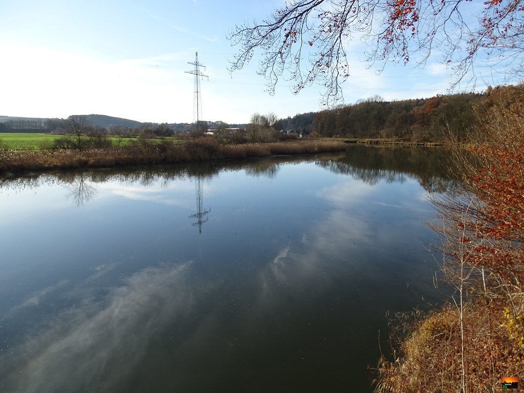
Iller -der Fluss > am Illerstau Lautrach / Iller-the river > at the Iller jam Lautrach / Iller-la rivière> à la prairie humide d'Iller Lautrach
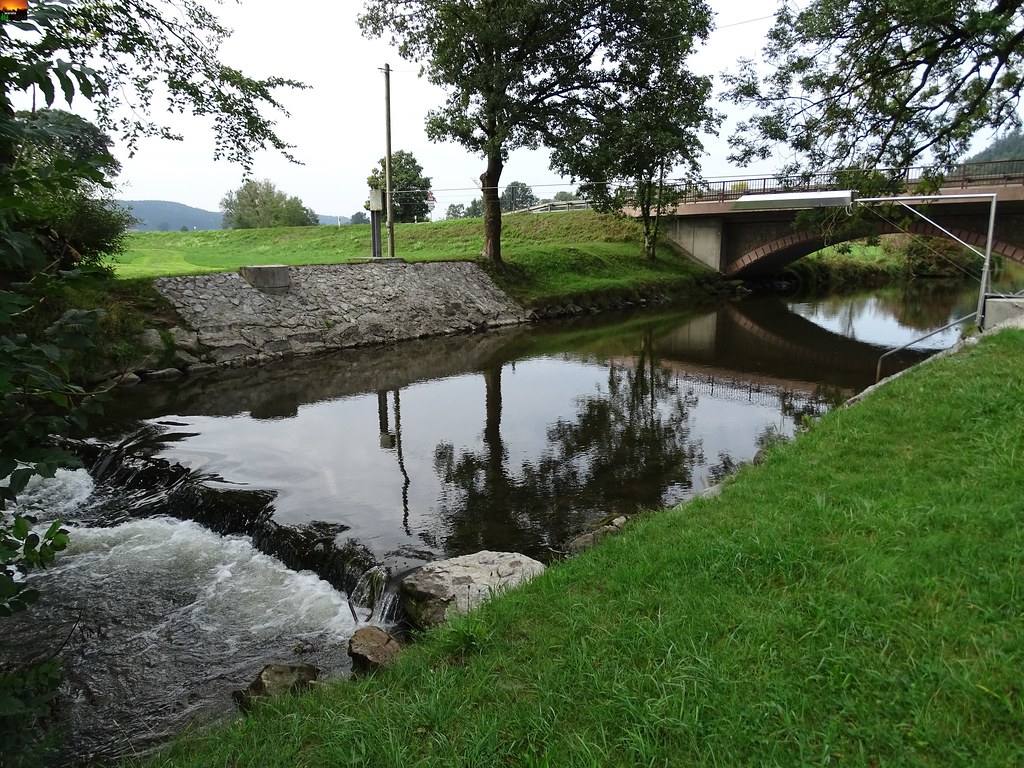
Der Fluss Aitrach bei Lauben im Württembergischen Allgäu in Süddeutschland The river Aitrach near Lauben in Württembergische Allgäu in southern Germany La rivière Aitrach près de Lauben dans le Württembergische Allgäu dans le sud de l'Allemagne
Allgäuer Abend
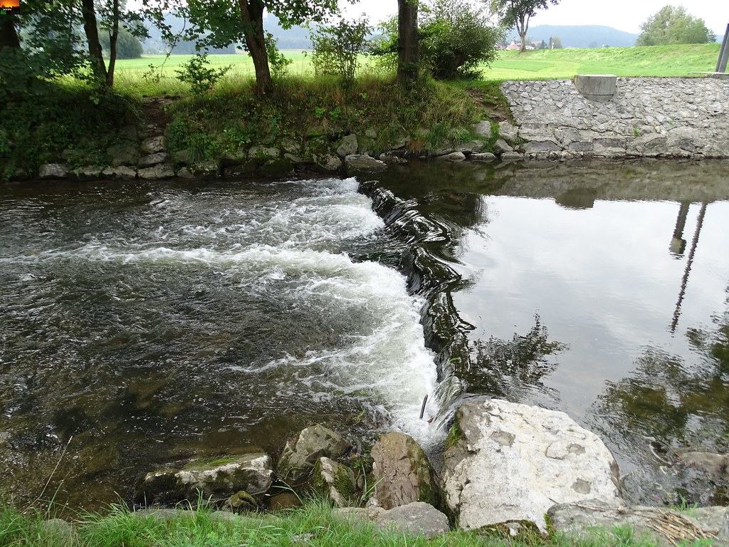
Am Fluss Aitrach bei Lauben im Württembergischen Allgäu in Süddeutschland The river Aitrach near Lauben in Württembergische Allgäu in southern Germany La rivière Aitrach près de Lauben dans le Württembergische Allgäu dans le sud de l'Allemagne
Iller -der Fluss > am Illerstau Lautrach / Iller-the river > at the Iller jam Lautrach
Iller -der Fluss > am Illerstau Lautrach / Iller-the river > at the Iller jam Lautrach
Iller -der Fluss > am Illerstau Lautrach / Iller-the river > at the Iller jam Lautrach / Iller-la rivière> à la prairie humide d'Iller Lautrach
Iller -der Fluss > am Illerstau Lautrach / Iller-the river > at the Iller jam Lautrach / Iller-la rivière> à la prairie humide d'Iller Lautrach
Iller -der Fluss > am Illerstau Lautrach / Iller-the river > at the Iller jam Lautrach / Iller-la rivière> à la prairie humide d'Iller Lautrach
Topographic Map of Center Parcs Allgäu, Allgäuallee 40, Leutkirch im Allgäu, Germany
Find elevation by address:

Places near Center Parcs Allgäu, Allgäuallee 40, Leutkirch im Allgäu, Germany:
Vesterhof 1, Leutkirch im Allgäu, Germany
Haselburg
Urlau
Metzger 2, Leutkirch im Allgäu, Germany
Welschen 3, Leutkirch im Allgäu, Germany
Wuchzenhofen
Friesenhofen
4/1
Gaggen 1, Altusried, Germany
Grund 4, Leutkirch im Allgäu, Germany
1/1
Ellmeney-Friesenhofen 4, Leutkirch im Allgäu, Germany
Tautenhofen-Ewigkeit 6, Leutkirch im Allgäu, Germany
Bettelhofen
Bettelhofen 24, Leutkirch im Allgäu, Germany
Winnis 2, Isny im Allgäu, Germany
Rohrdorf
Kirchweg 2, Isny im Allgäu, Germany
Schmidsfelden 8, Leutkirch im Allgäu, Germany
Tautenhofen
Recent Searches:
- Elevation of Corso Fratelli Cairoli, 35, Macerata MC, Italy
- Elevation of Tallevast Rd, Sarasota, FL, USA
- Elevation of 4th St E, Sonoma, CA, USA
- Elevation of Black Hollow Rd, Pennsdale, PA, USA
- Elevation of Oakland Ave, Williamsport, PA, USA
- Elevation of Pedrógão Grande, Portugal
- Elevation of Klee Dr, Martinsburg, WV, USA
- Elevation of Via Roma, Pieranica CR, Italy
- Elevation of Tavkvetili Mountain, Georgia
- Elevation of Hartfords Bluff Cir, Mt Pleasant, SC, USA