Elevation of Center Hill Rd, Tyner, NC, USA
| Latitude | 36.2162859 |
|---|---|
| Longitude | -76.618672 |
| Elevation | 12m / 39feet |
| Barometric Pressure | 1012KPa |
Related Photos:

Pickled Eggs and Sausage

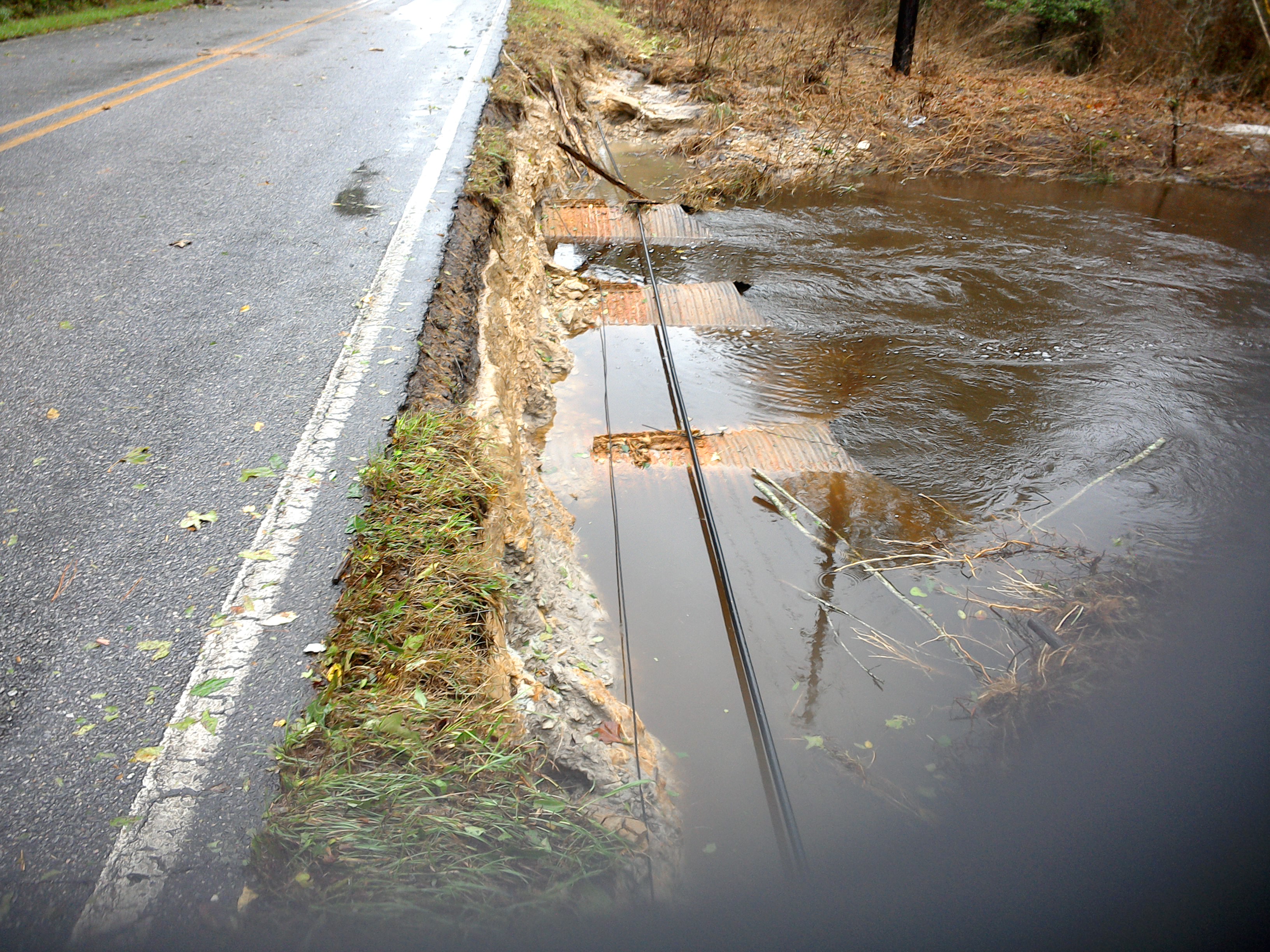
"S" Bridge - Hertford, North Carolina

view from Barren Ridge Winery

Old Dollar General Building (Hertford; now possibly an auction location)

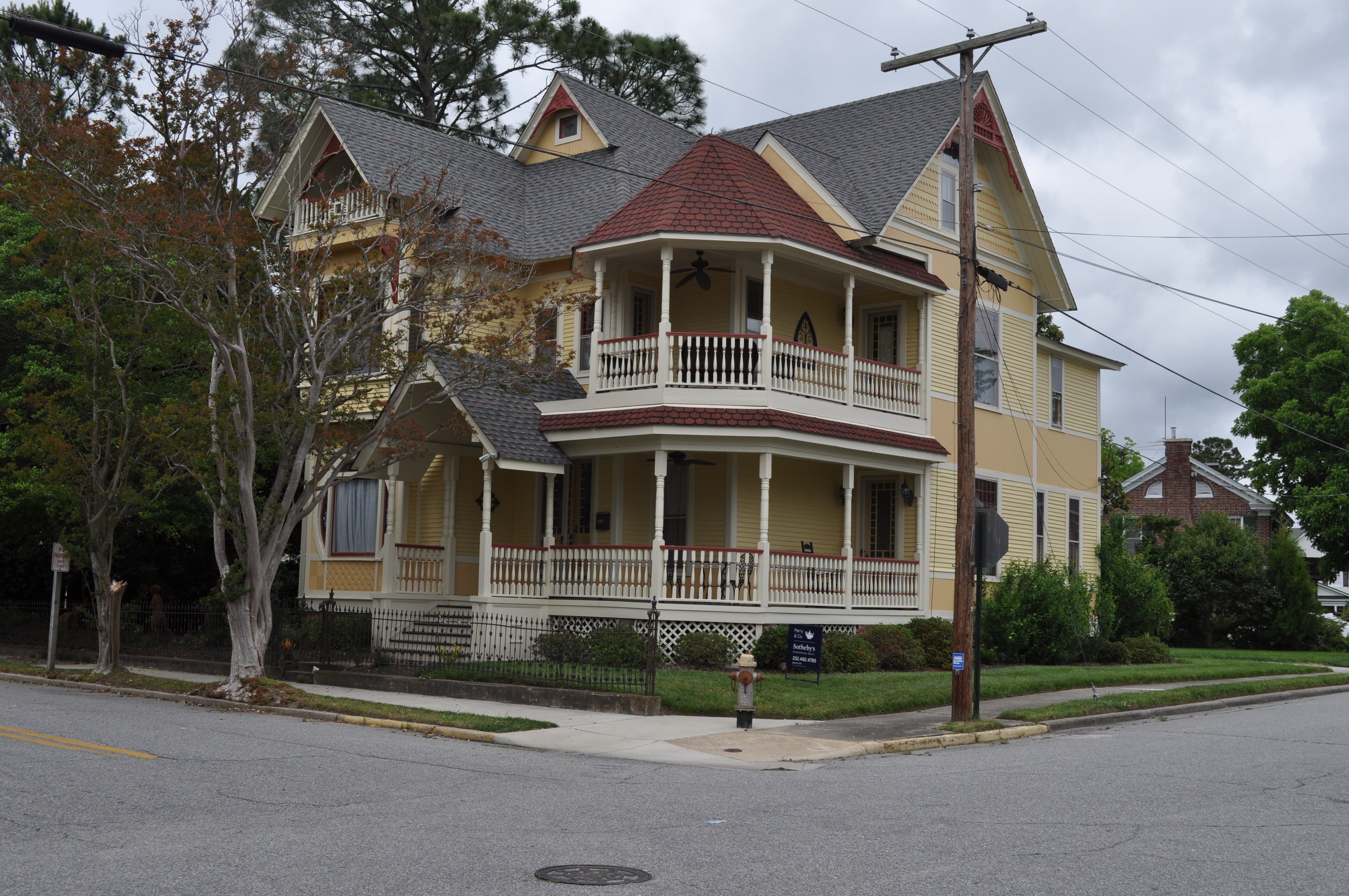
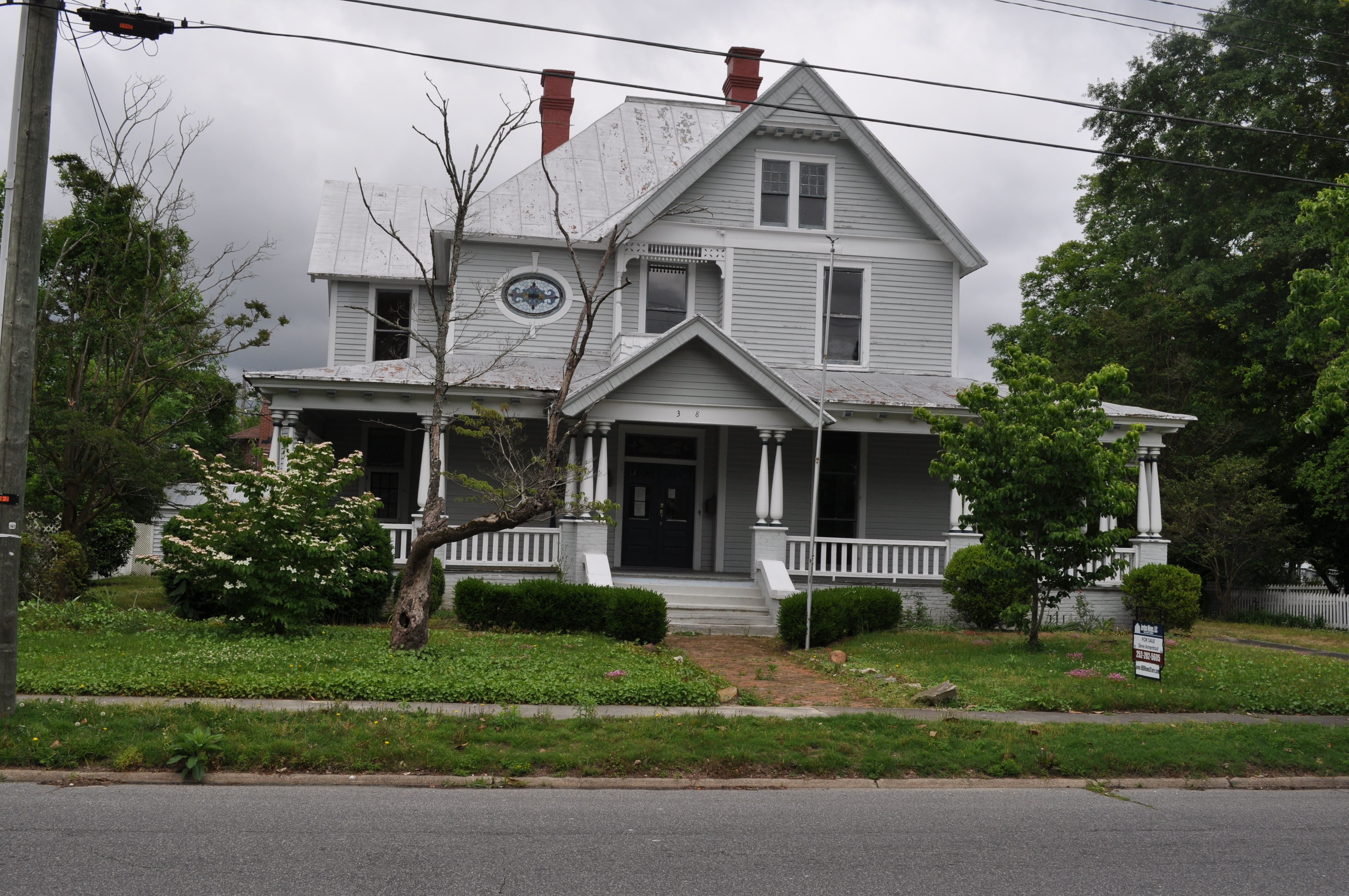
2852 Hertford National Register of Historic Places Img_17446

Sky and Earth

126/365/2013 Stalagmite
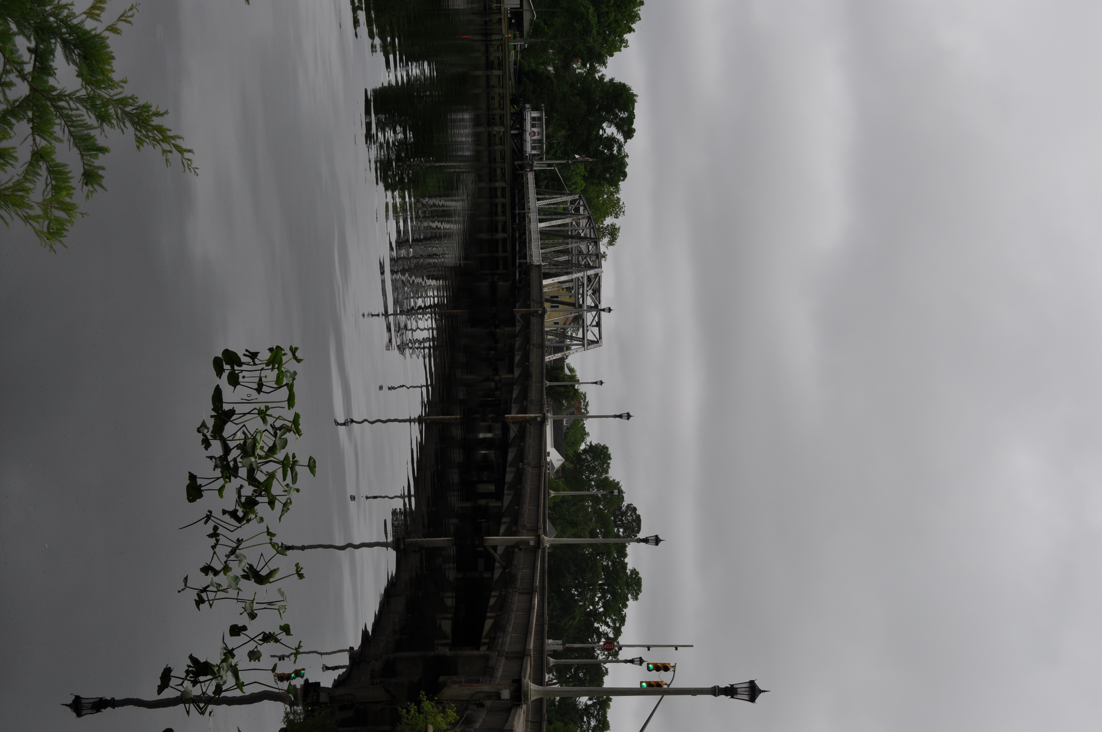
2903 Hertfords S Shaped Bridge Img_17497
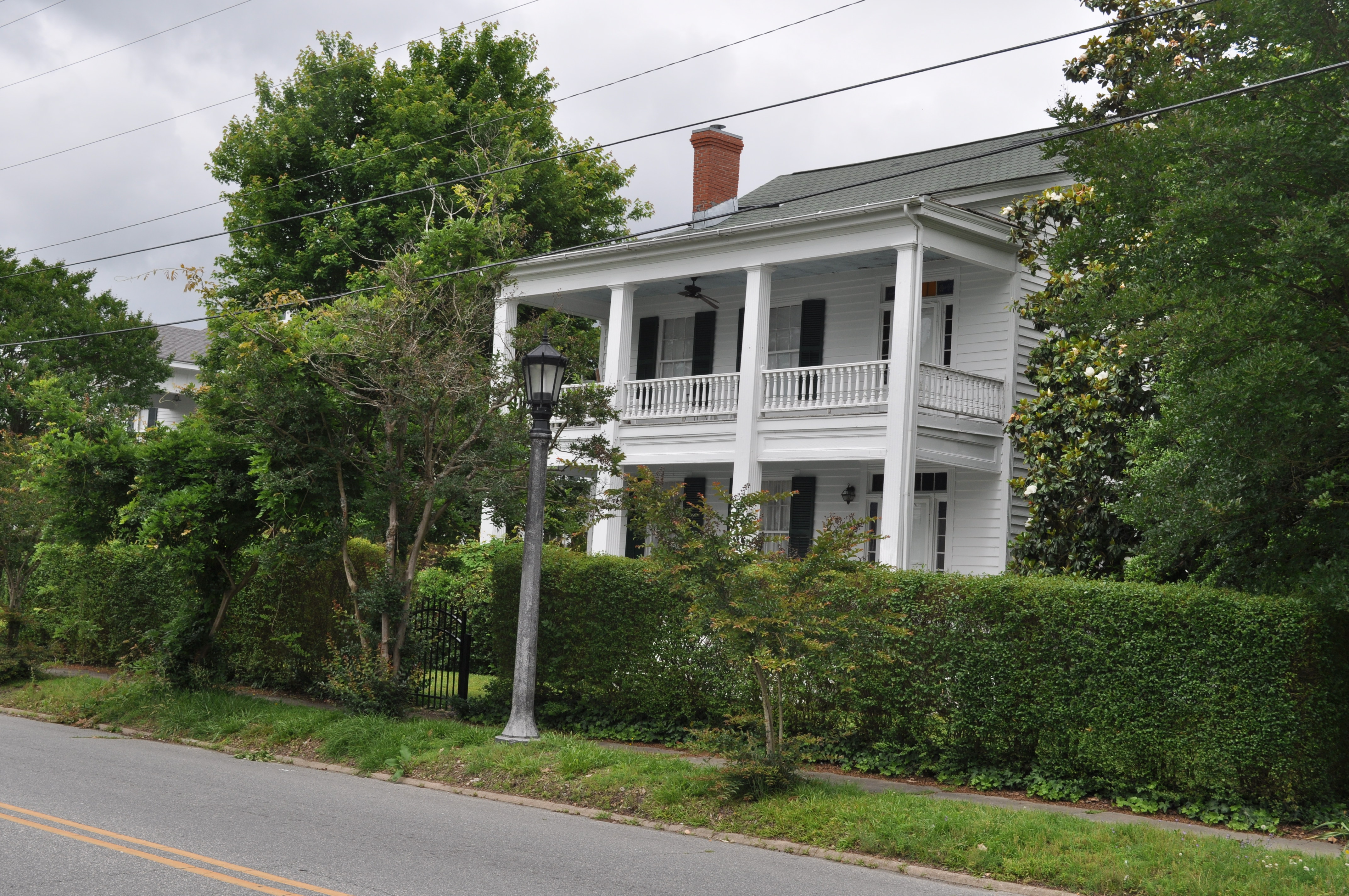
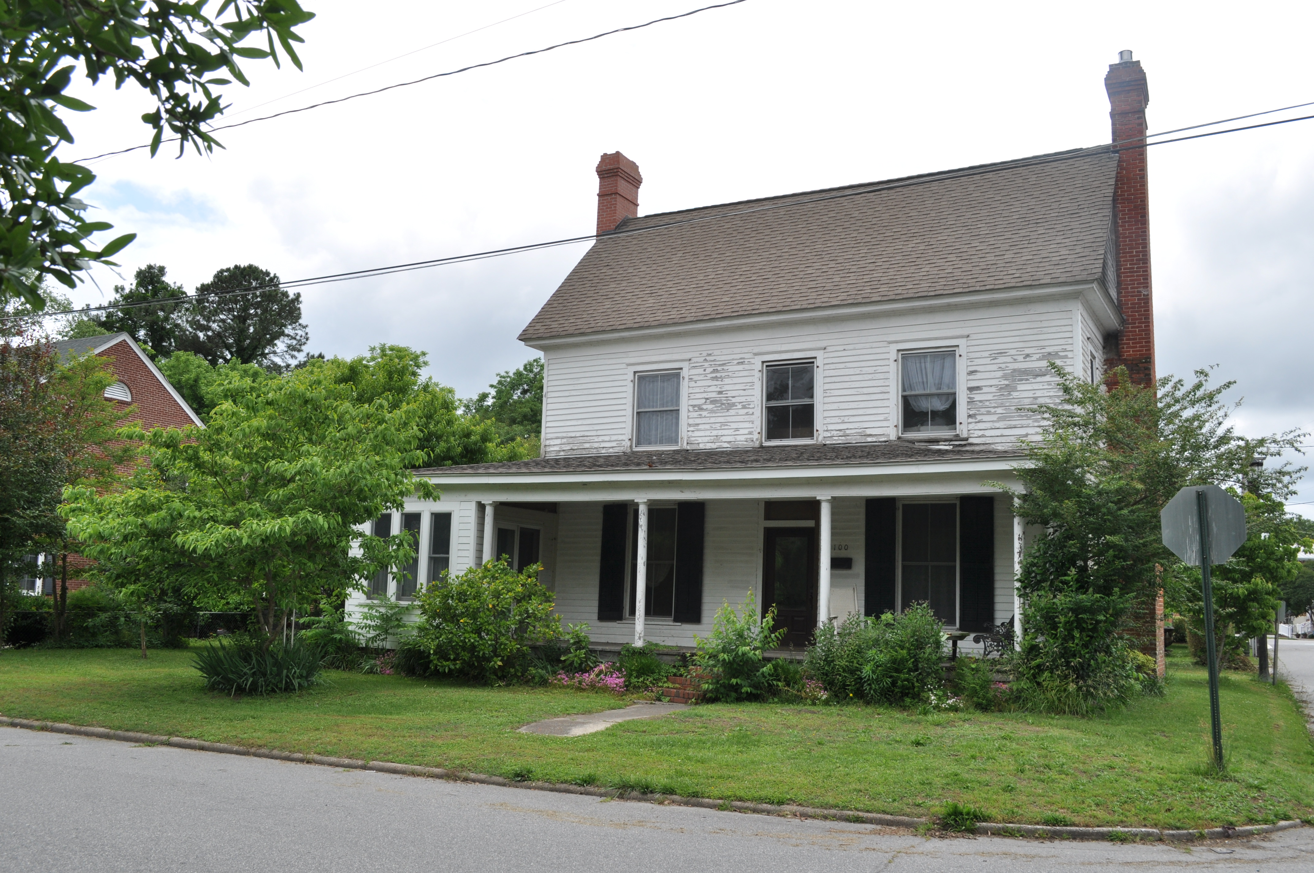
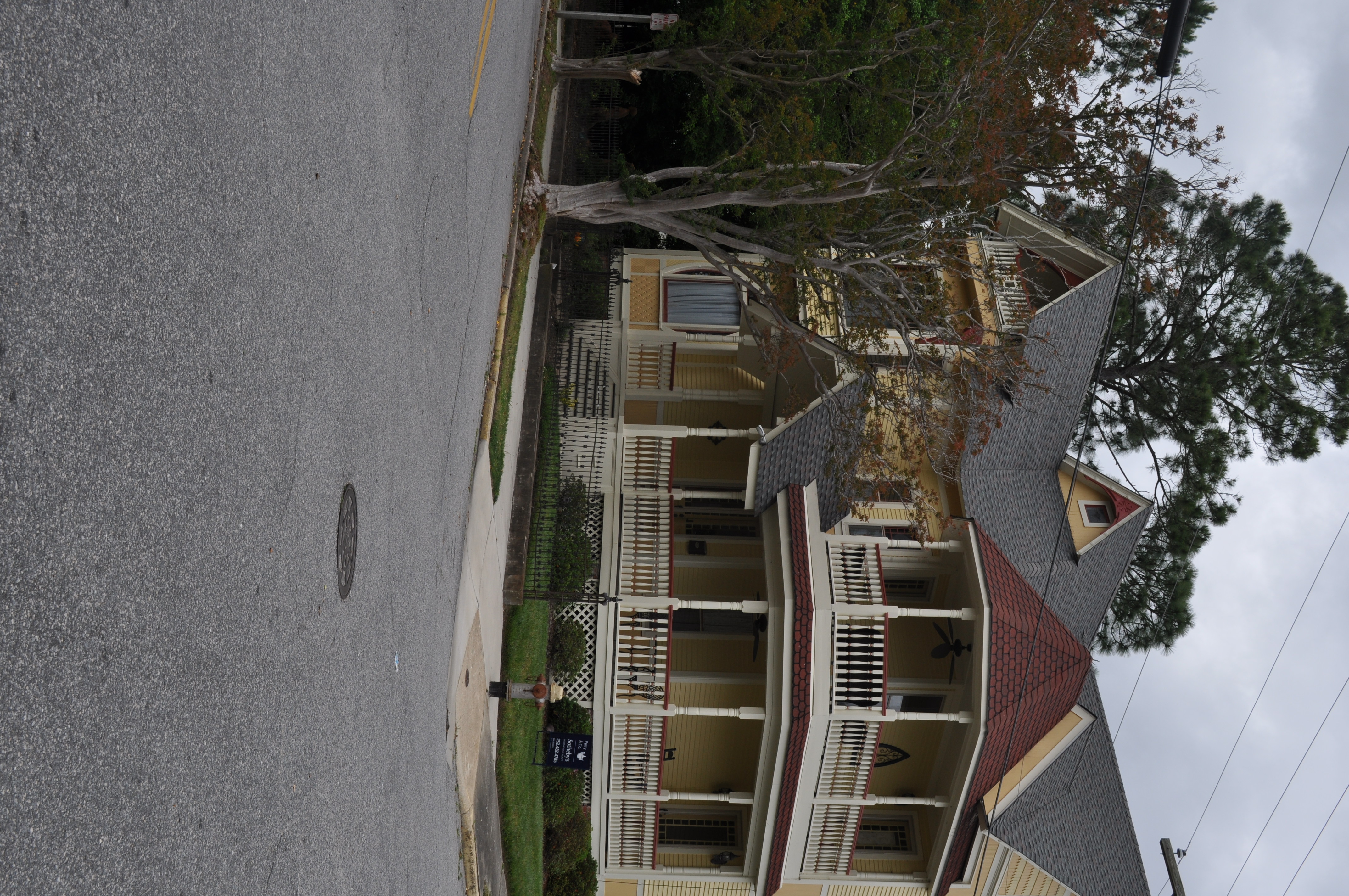
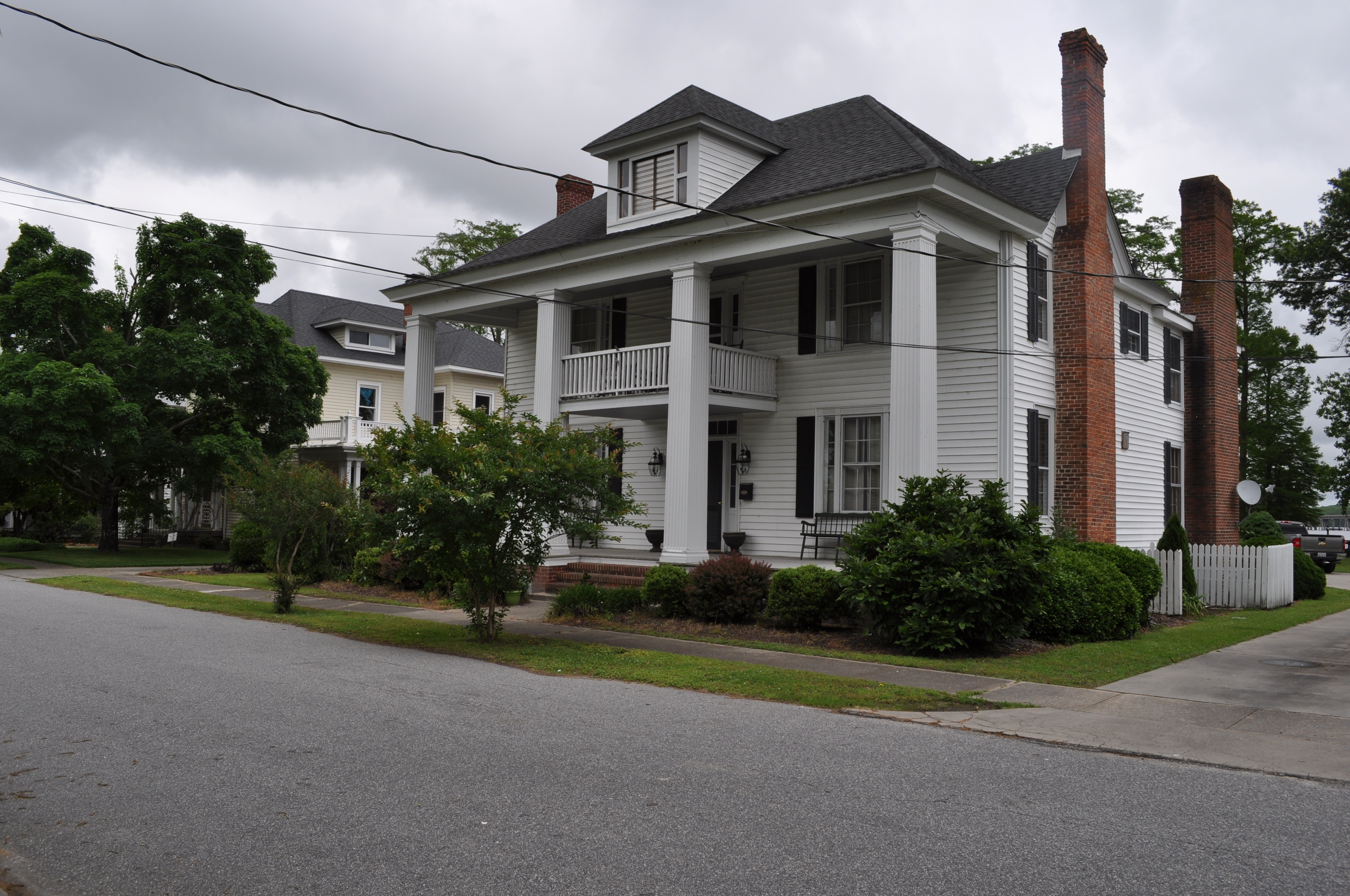
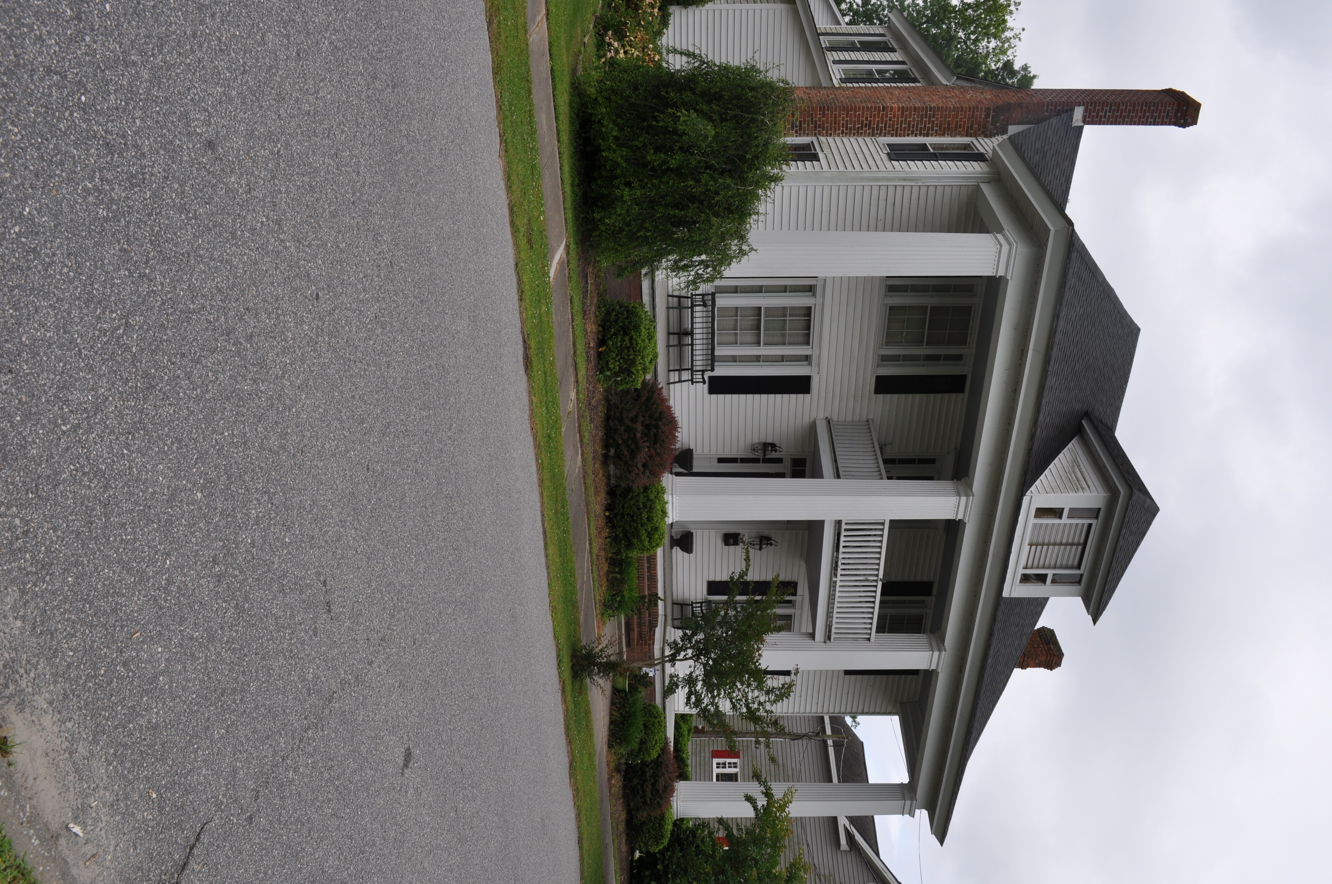
2872 Lewis H Richardson House Img_17466
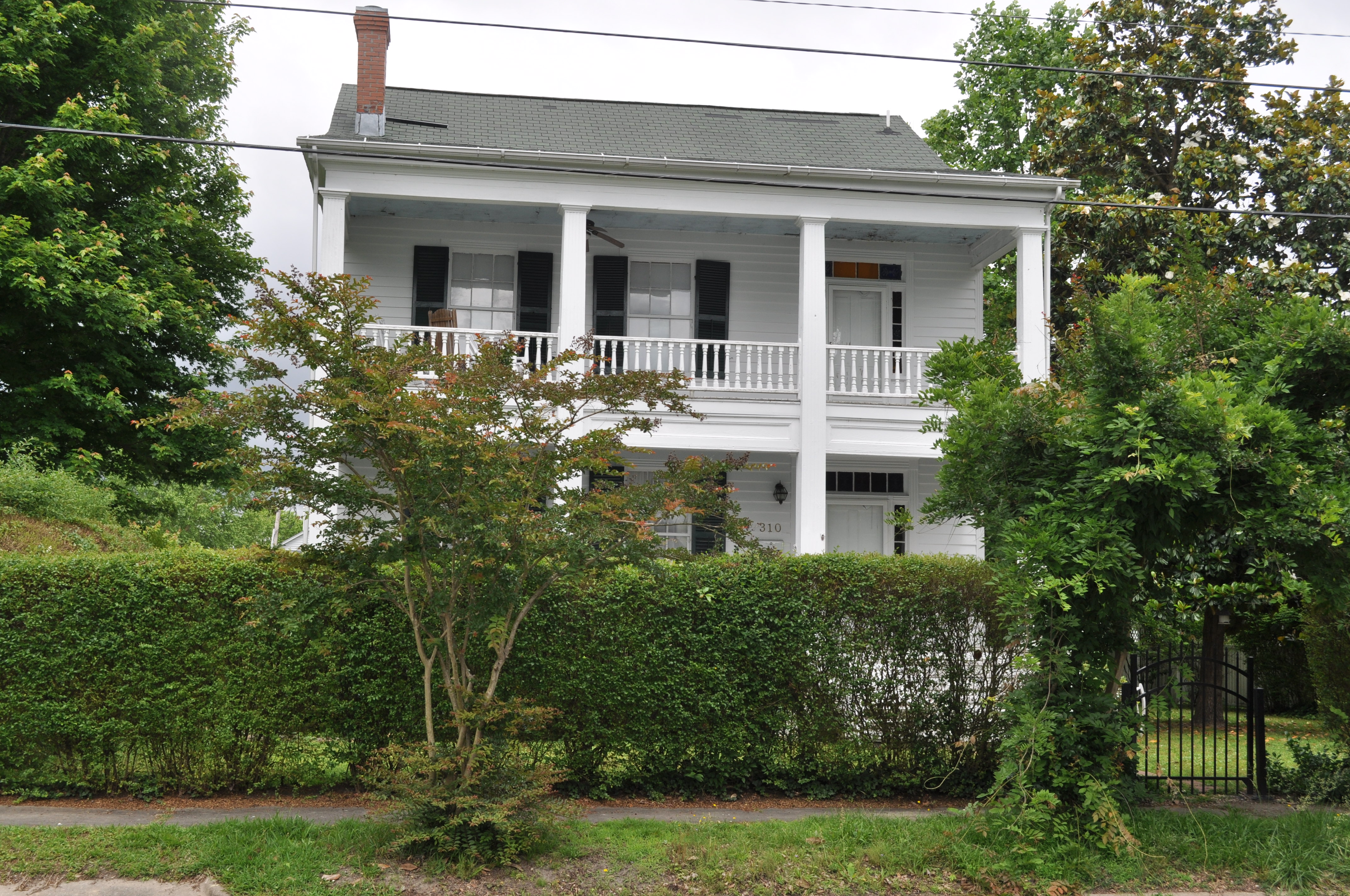
2873 Lewis H Richardson House Img_17467
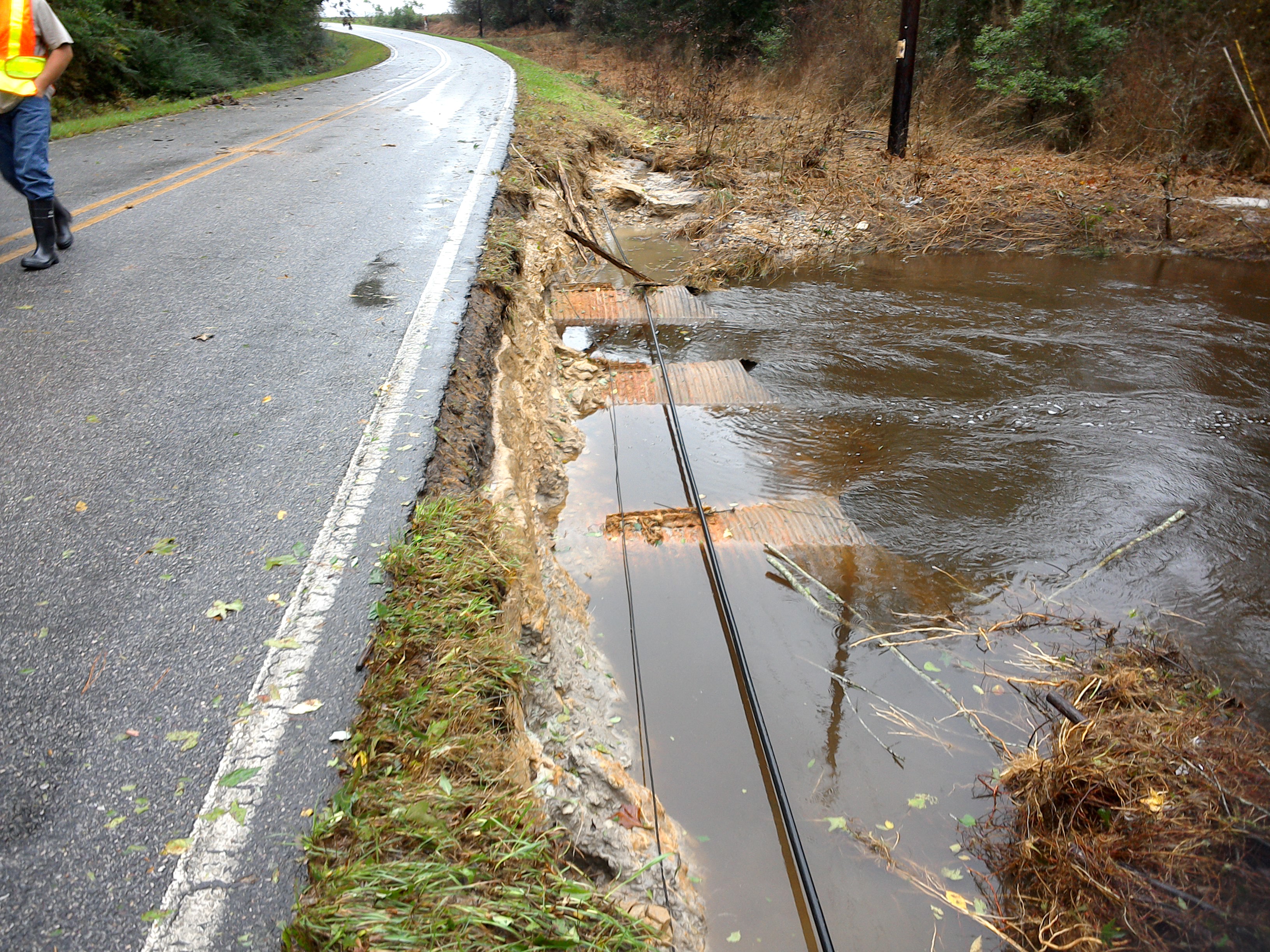
SR 1200 Perry's Bridge
SR 1200 Perry's Bridge
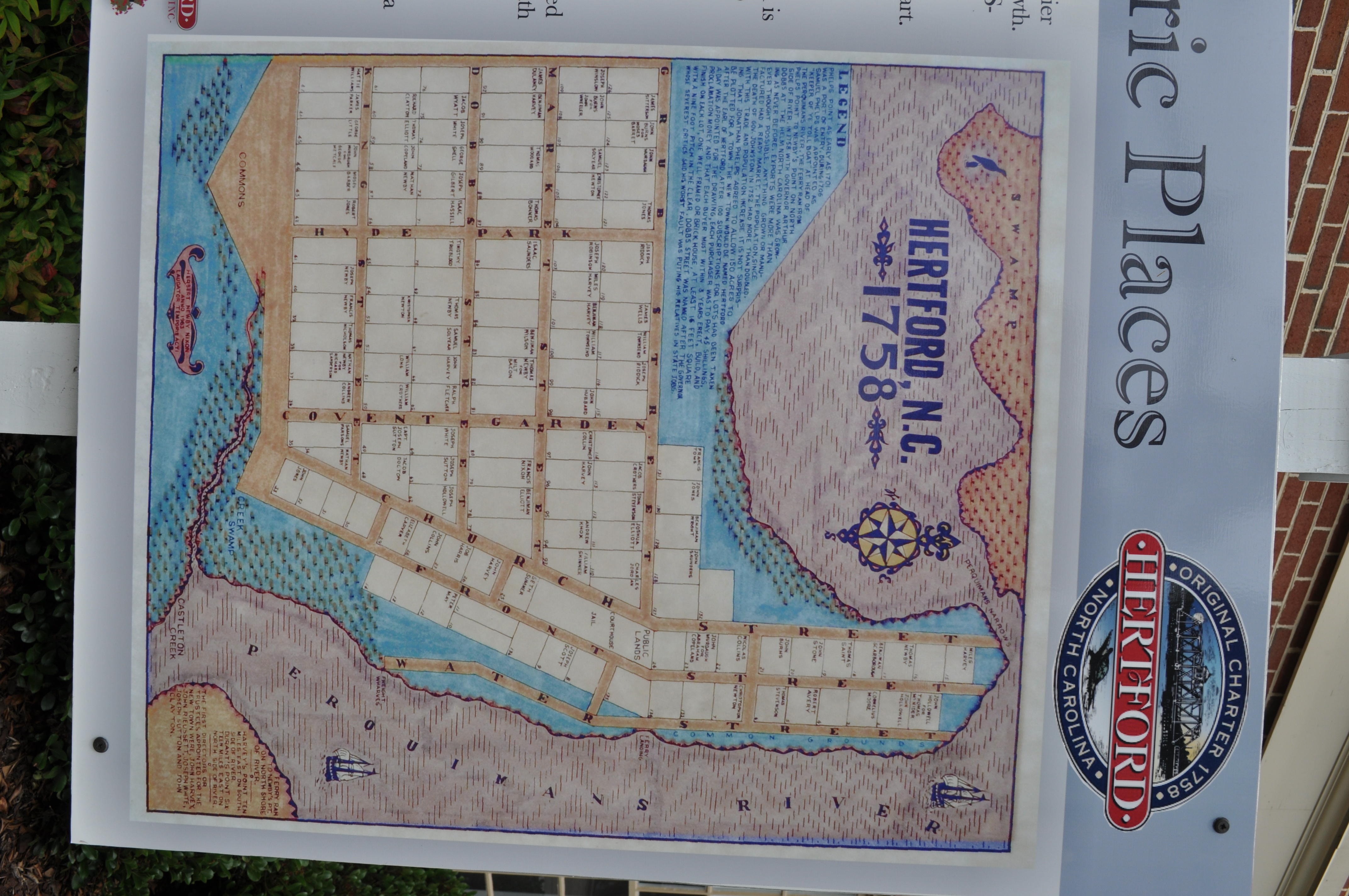
2853 Hertford National Register of Historic Places Img_17447
2854 Wood Smith House Img_17448
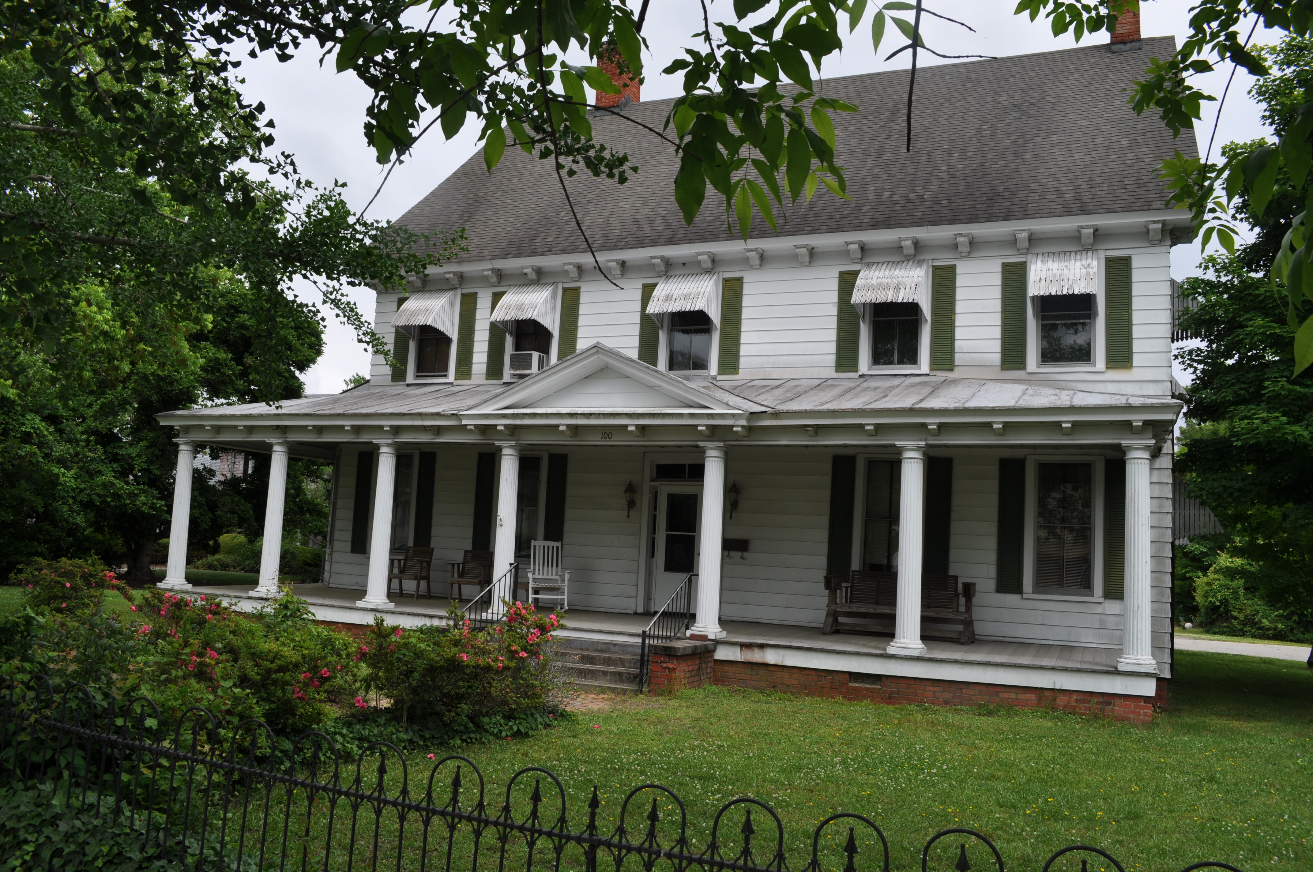
2855 Mullan Fleetwood House Img_17449
2856 Wood McCallum Winslow House Img_17450
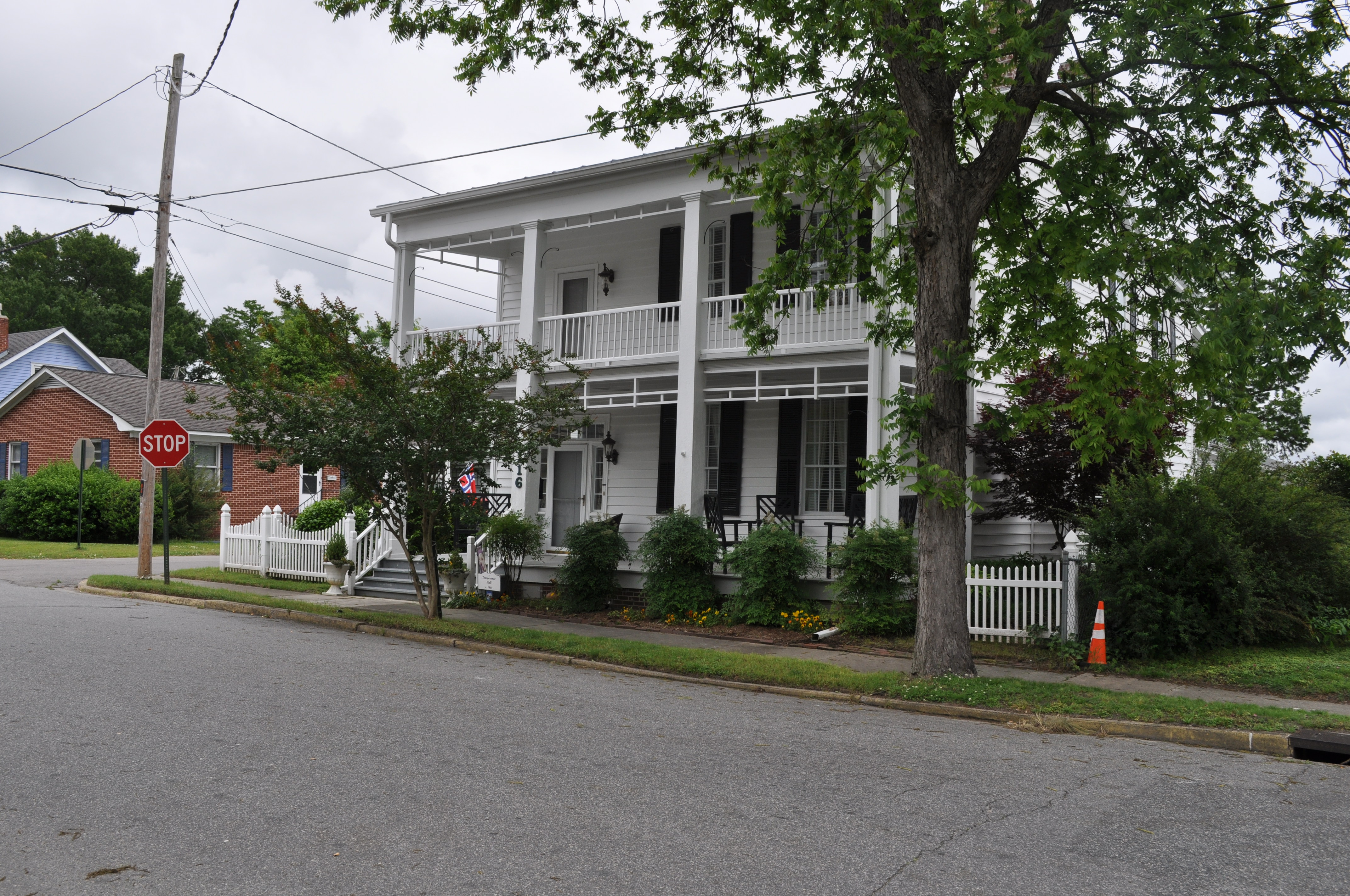
2857 Temperance Hall Img_17451
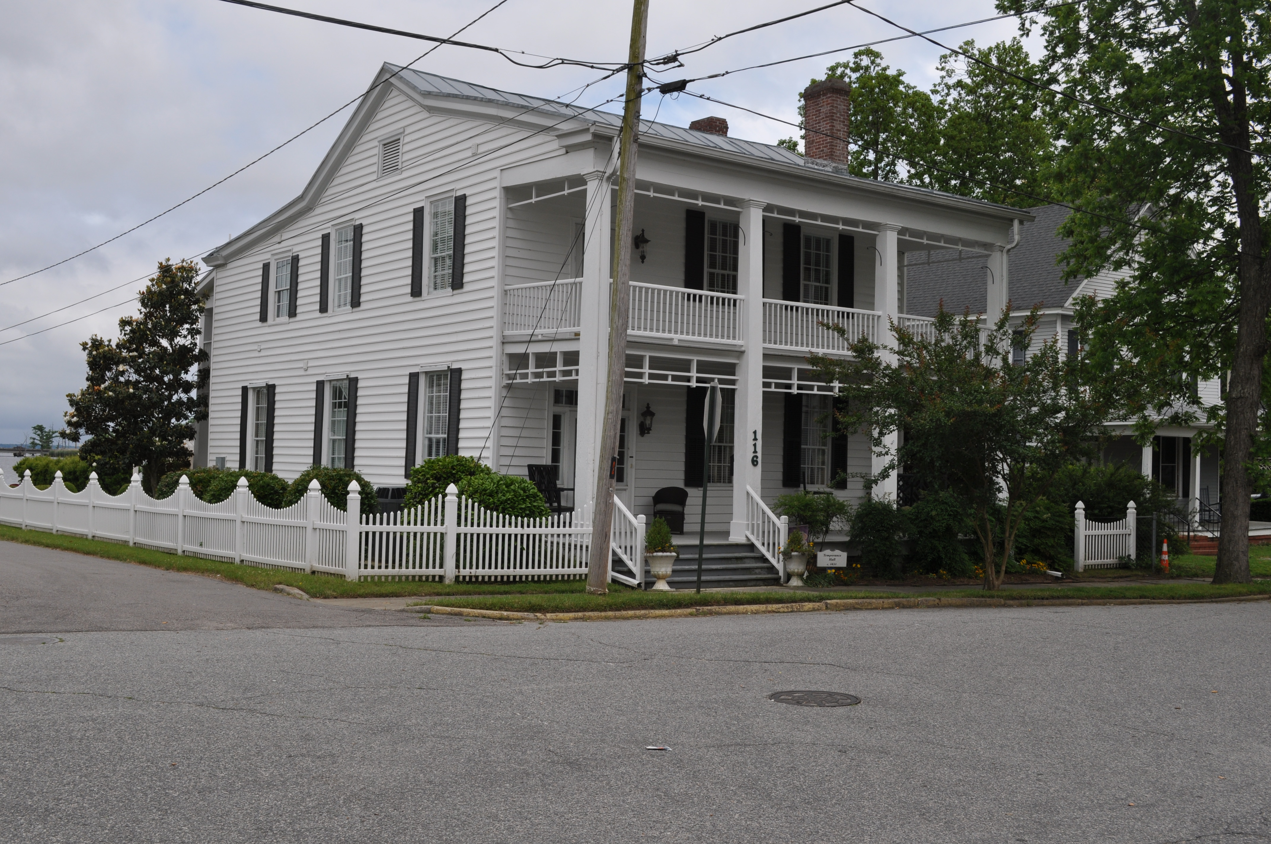
2858 Temperance Hall Img_17452
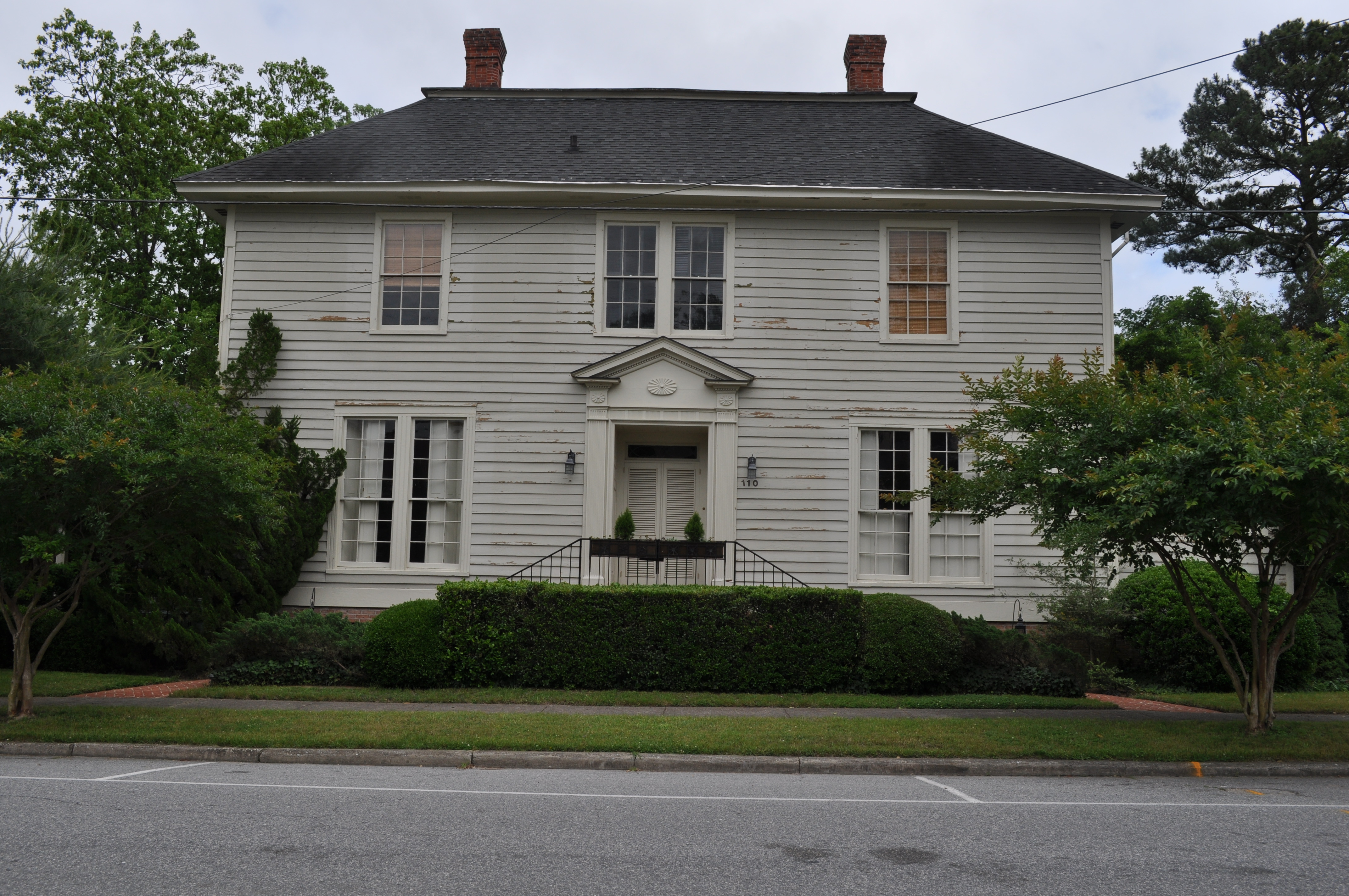
2859 Matthew H White House Img_17453
2860 Matthew H White House Img_17454
2862 Thomas Jackson House Img_17456
2863 Thomas Jackson House Img_17457
2864 Elizabeth Stokes House Img_17458
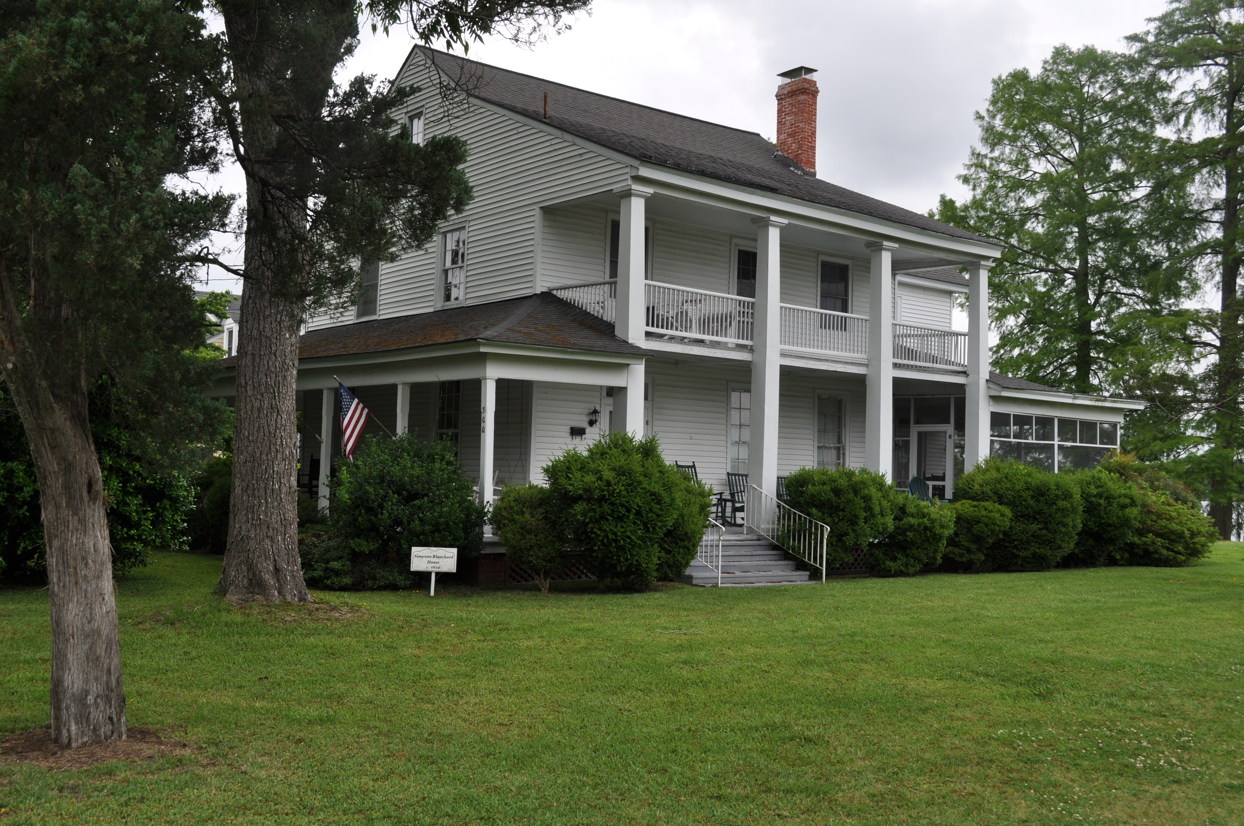
2865 Simpson Blanchard House Img_17459
2866 Creecy Skinner Whedbee House Img_17460
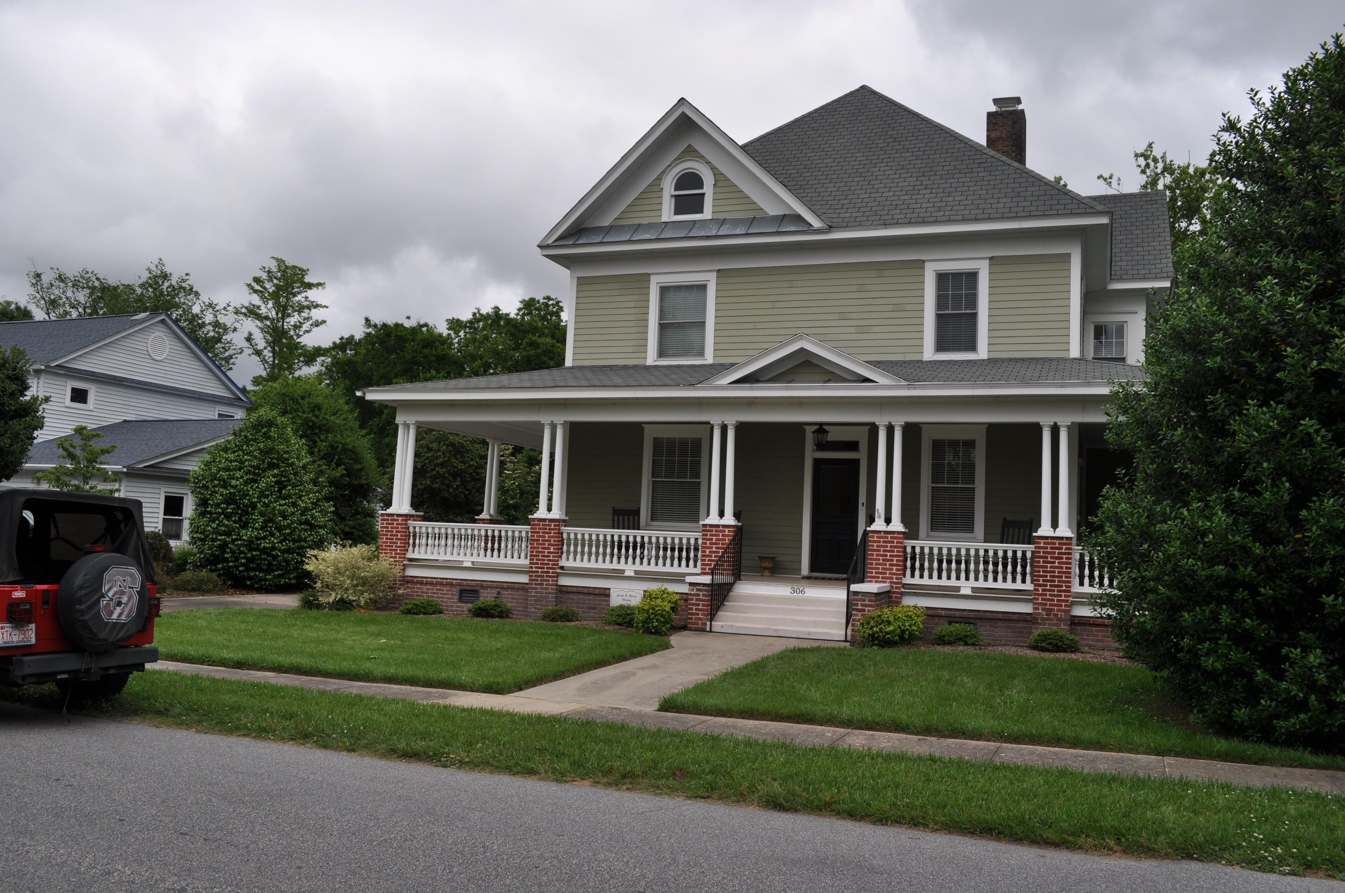
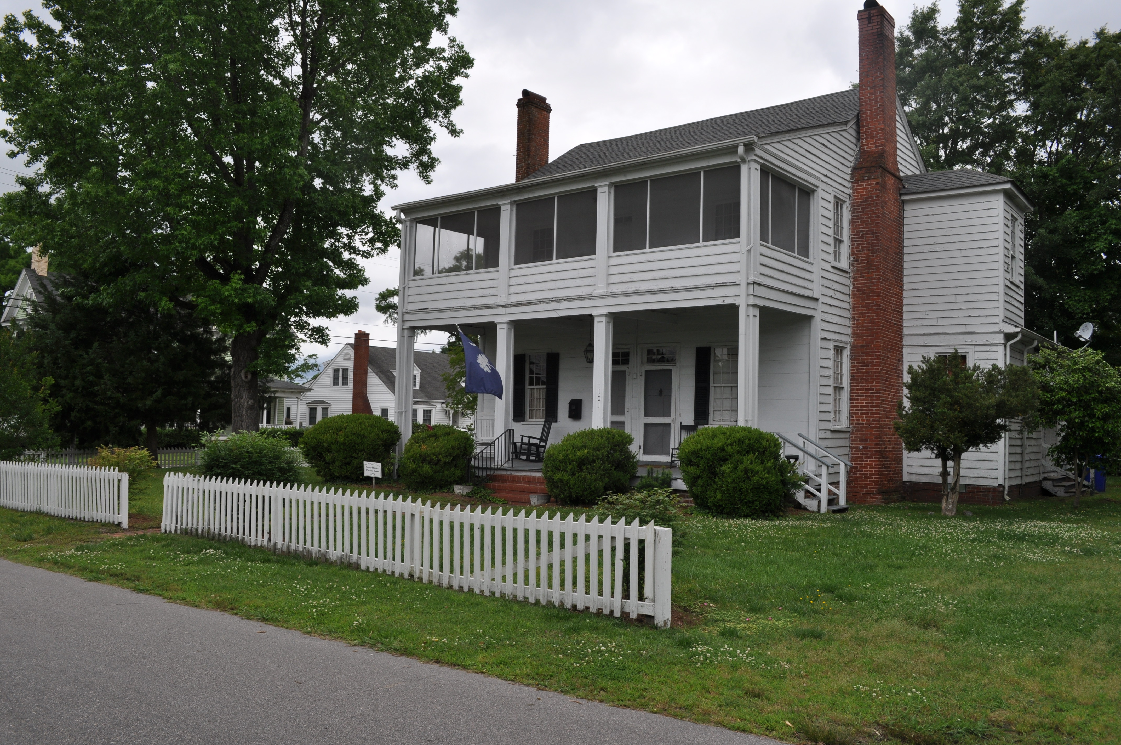
2867 Jesse P Perry House Img_17461
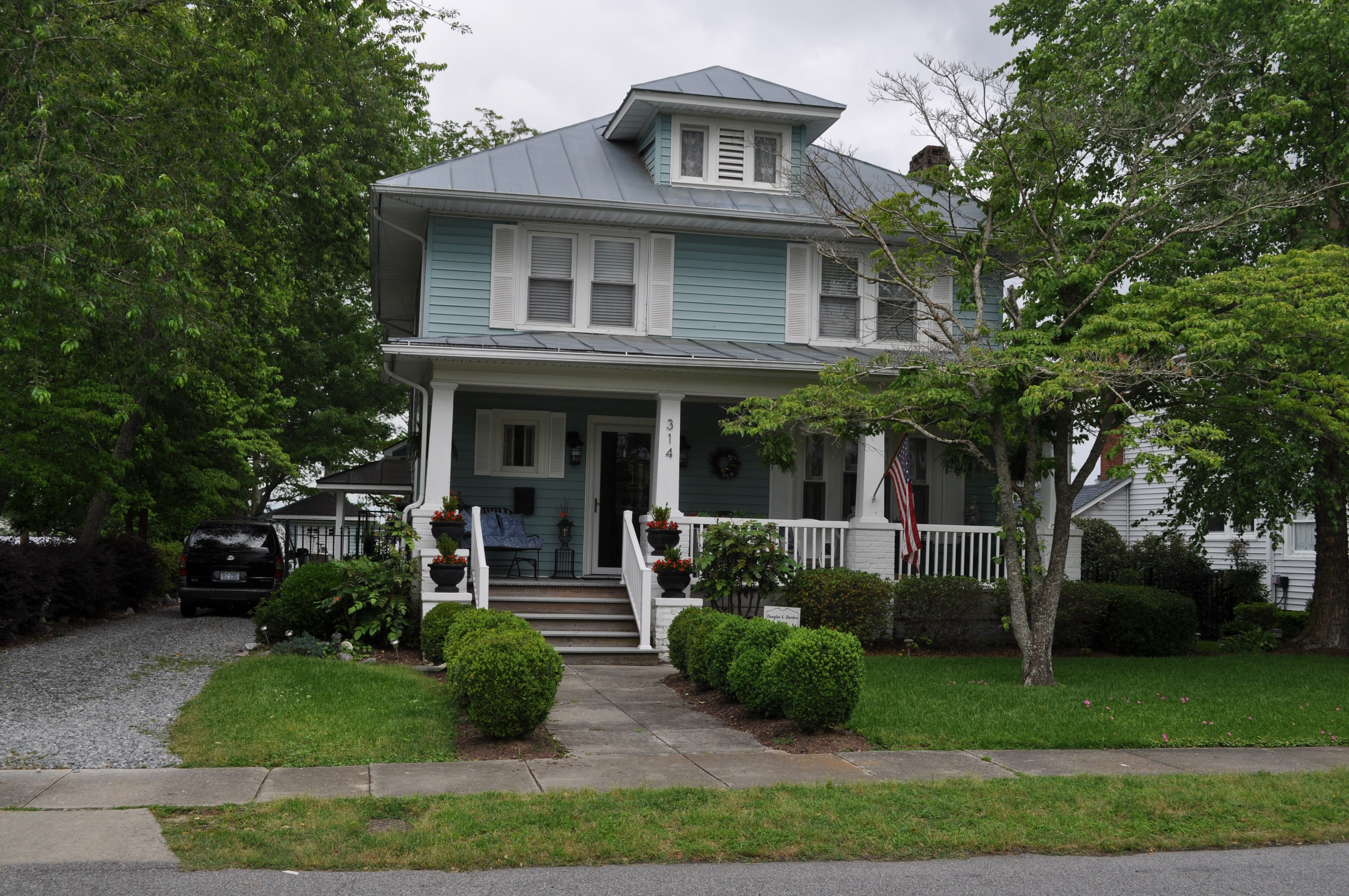
2868 Douglas S Darden House Img_17462
2869 Penelope McMullan House Img_17463
Topographic Map of Center Hill Rd, Tyner, NC, USA
Find elevation by address:
Places near Center Hill Rd, Tyner, NC, USA:
712 Center Hill Rd
519 Icaria Rd
Tyner
3, Upper
959 County Line Rd
Belvidere Rd, Belvidere, NC, USA
Belvidere
Gliden Rd, Hobbsville, NC, USA
Belvidere
Hobbsville
1282 Perrys Bridge Rd
66 Joppa Rd
Acorn Hill Rd, Hobbsville, NC, USA
Main St, Winfall, NC, USA
Keys Cross Rd, Hobbsville, NC, USA
74 Joppa Rd, Belvidere, NC, USA
Chapanoke Rd, Hertford, NC, USA
Woodville
Elizabeth City, NC, USA
Pasquotank County
Recent Searches:
- Elevation of Burnt Store Village, Charlotte County, Florida, 33955, USA
- Elevation of 26552, Angelica Road, Punta Gorda, Charlotte County, Florida, 33955, USA
- Elevation of 104, Chancery Road, Middletown Township, Bucks County, Pennsylvania, 19047, USA
- Elevation of 1212, Cypress Lane, Dayton, Liberty County, Texas, 77535, USA
- Elevation map of Central Hungary, Hungary
- Elevation map of Pest, Central Hungary, Hungary
- Elevation of Pilisszentkereszt, Pest, Central Hungary, Hungary
- Elevation of Dharamkot Tahsil, Punjab, India
- Elevation of Bhinder Khurd, Dharamkot Tahsil, Punjab, India
- Elevation of 2881, Chabot Drive, San Bruno, San Mateo County, California, 94066, USA
- Elevation of 10370, West 107th Circle, Westminster, Jefferson County, Colorado, 80021, USA
- Elevation of 611, Roman Road, Old Ford, Bow, London, England, E3 2RW, United Kingdom
- Elevation of 116, Beartown Road, Underhill, Chittenden County, Vermont, 05489, USA
- Elevation of Window Rock, Colfax County, New Mexico, 87714, USA
- Elevation of 4807, Rosecroft Street, Kempsville Gardens, Virginia Beach, Virginia, 23464, USA
- Elevation map of Matawinie, Quebec, Canada
- Elevation of Sainte-Émélie-de-l'Énergie, Matawinie, Quebec, Canada
- Elevation of Rue du Pont, Sainte-Émélie-de-l'Énergie, Matawinie, Quebec, J0K2K0, Canada
- Elevation of 8, Rue de Bécancour, Blainville, Thérèse-De Blainville, Quebec, J7B1N2, Canada
- Elevation of Wilmot Court North, 163, University Avenue West, Northdale, Waterloo, Region of Waterloo, Ontario, N2L6B6, Canada