Elevation of Cells Road, Cells Rd, Number One NSW, Australia
Location: Australia > New South Wales > Midcoast Council > Cells River >
Longitude: 152.065836
Latitude: -31.695377
Elevation: 127m / 417feet
Barometric Pressure: 100KPa
Elevation Map:
Satellite Map:
Related Photos:

Sueno en la floresta

Fresh in the Nowendoc River at Caffreys Flat NSW

Mt Pleasant bisected by rainbow

Mt Pleasant after a storm

Mount Pleasant & low clouds

Cooplacurripa Station, Nowendoc Road, Manning Valley, NSW

Potoroo Falls

Cooplacurripa Trapping 2018_Darren Fielder

Cooplacurripa Trapping_Darren Fielder

Dalrae Habitat_Darren Fielder

Rowleys River Habitat_Darren Fielder

Rowleys River - Myuchelys_Darren Fielder 5
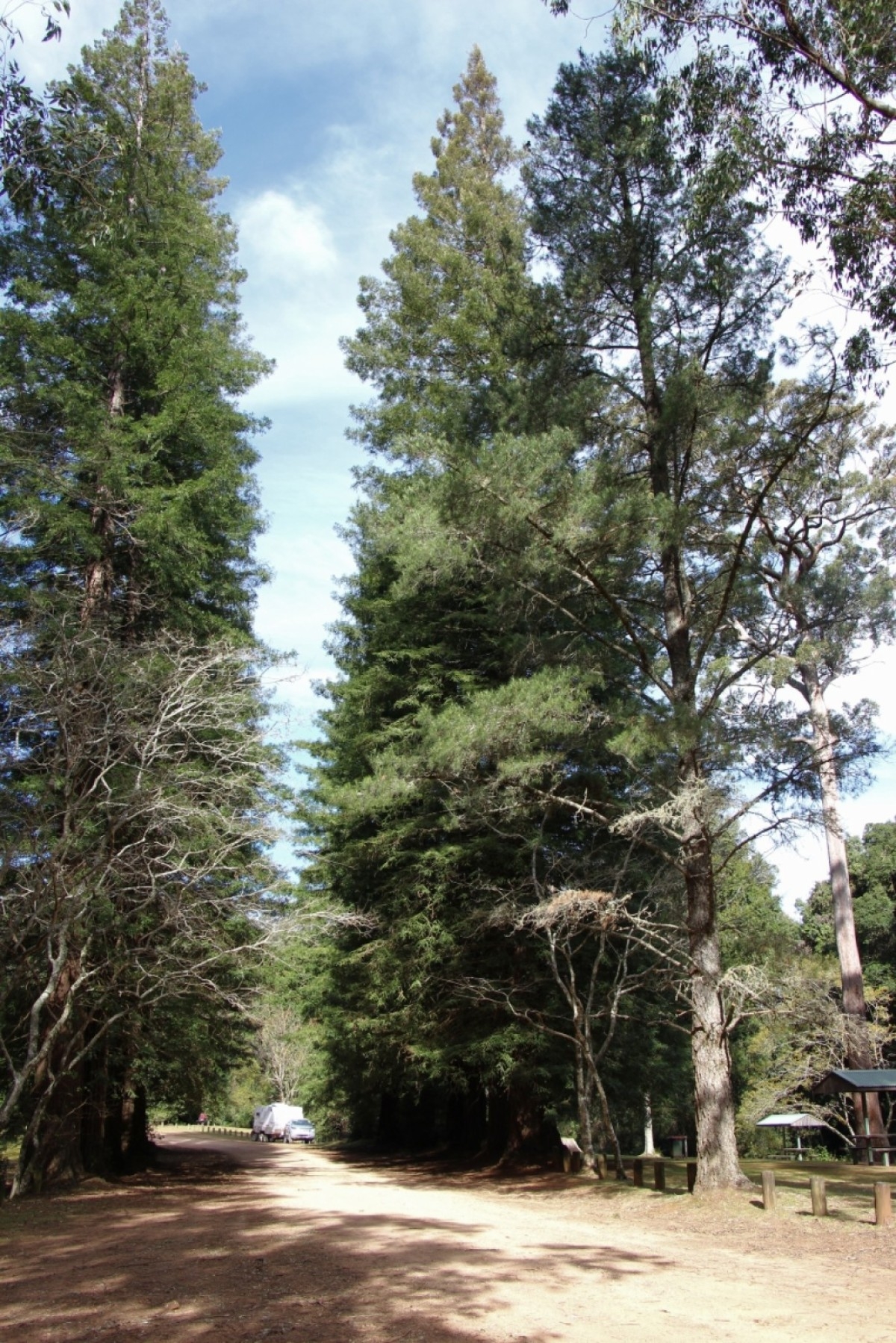
Coast Redwood (Sequoia sempervirens)

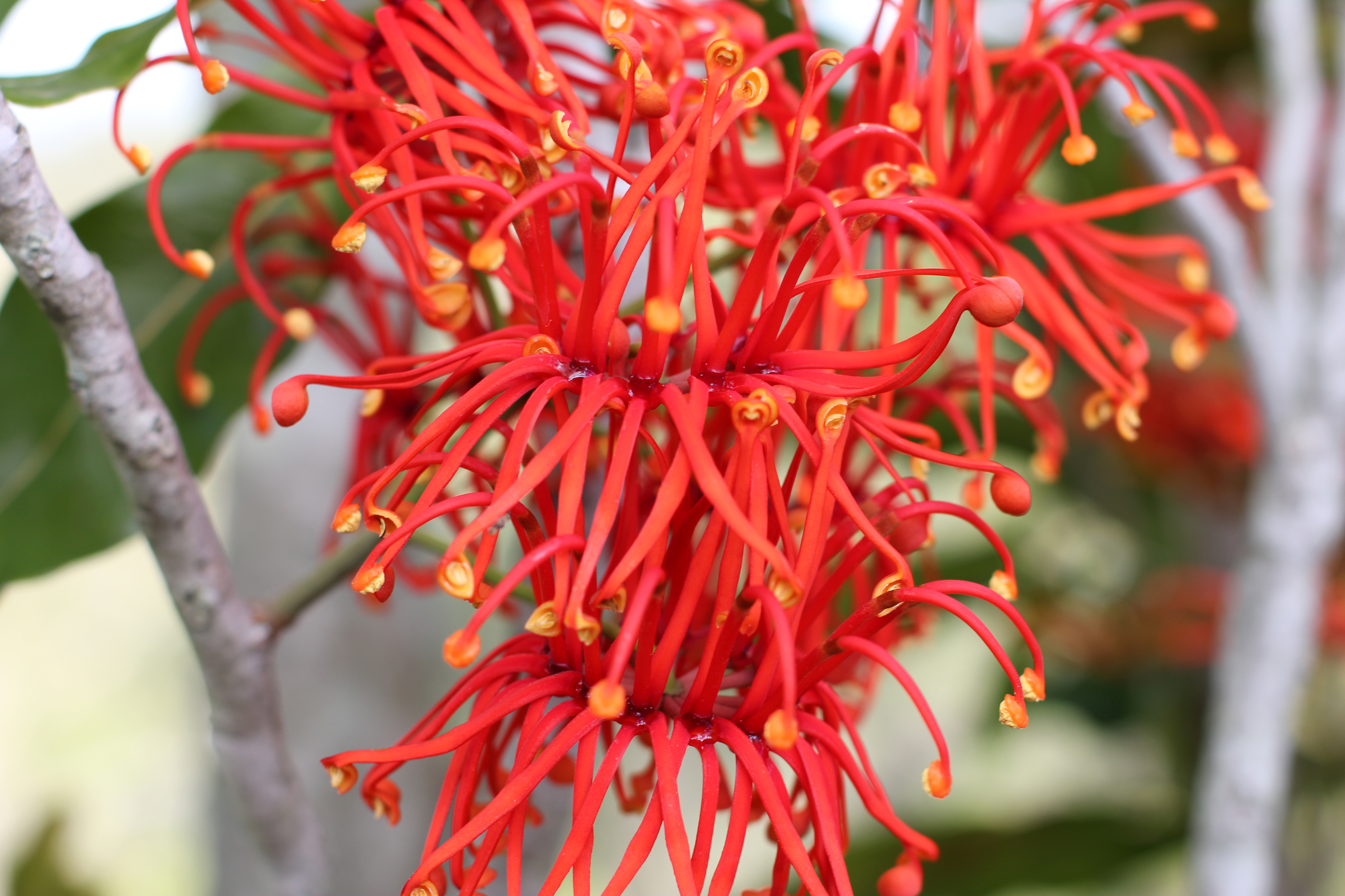
Scarlet headed honeyeater

Spinebill honeteater

Scarlet headed honeyeater

Mt Pleasant capped by cloud & rainbow

Lace Monitor (Varanus varius)

Lace Monitor (Varanus varius)
Queensland Firewheel Tree (Stenocarpus sinuatus) Flower 5

Queensland Firewheel Tree (Stenocarpus sinuatus) Flower 4
Topographic Map of Cells Road, Cells Rd, Number One NSW, Australia
Find elevation by address:

Places near Cells Road, Cells Rd, Number One NSW, Australia:
The Junction
Cells River
Tibbuc
1580 Nowendoc Rd
Mount George
Nowendoc Road
1070 Doyles River Rd
1270 Nowendoc Rd
335 Kardinia Rd
Greater Taree City Council
236 Khatabundah Rd
1843 Comboyne Rd
Wingham
285 Barrington W Rd
Gloucester
357 Tilbaroo Crossing Rd
Wingham Museum
Nature Domes
2001 Toms Creek Rd
3232 The Bucketts Way
Recent Searches:
- Elevation of Corso Fratelli Cairoli, 35, Macerata MC, Italy
- Elevation of Tallevast Rd, Sarasota, FL, USA
- Elevation of 4th St E, Sonoma, CA, USA
- Elevation of Black Hollow Rd, Pennsdale, PA, USA
- Elevation of Oakland Ave, Williamsport, PA, USA
- Elevation of Pedrógão Grande, Portugal
- Elevation of Klee Dr, Martinsburg, WV, USA
- Elevation of Via Roma, Pieranica CR, Italy
- Elevation of Tavkvetili Mountain, Georgia
- Elevation of Hartfords Bluff Cir, Mt Pleasant, SC, USA