Elevation of Tilbaroo Crossing Rd, Toms Creek NSW, Australia
Location: Australia > New South Wales > Port Macquarie-hastings Council >
Longitude: 152.374812
Latitude: -31.53186
Elevation: 151m / 495feet
Barometric Pressure: 100KPa
Elevation Map:
Satellite Map:
Related Photos:
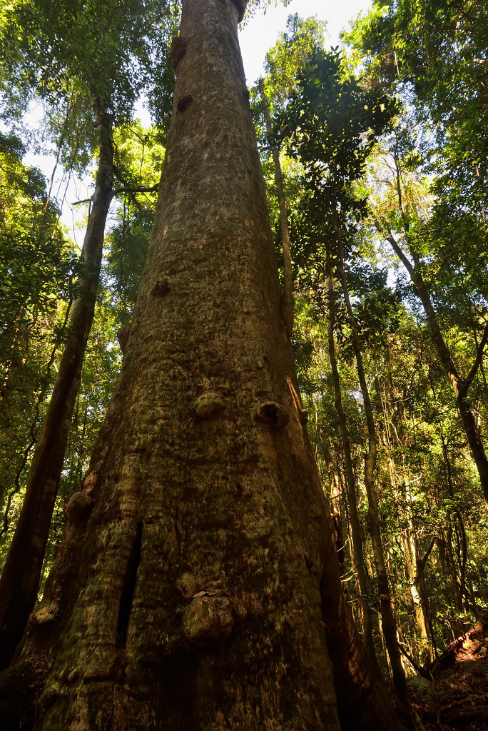
Rainforest Elder

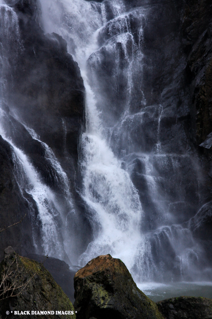
Ellenborough Falls - Elands,NSW

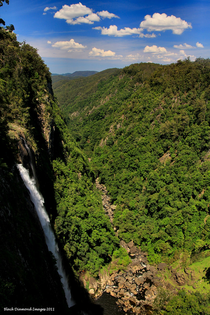
Ellenborough Falls - Bulga Plateau, Elands,NSW

Triumph Tiger 800 XRx

Triumph Tiger 800 XRx
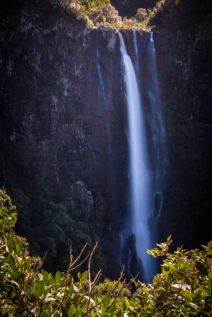
Ellenborough Falls - Bulga Plateau, Elands,NSW

Ellenborough Falls - Bulga Plateau, Elands,NSW

Interpretive Signboard - Ellenborough Falls - Elands, NSW

Ellenborough Falls - Bulga Plateau, Elands,NSW
Ellenborough Falls - Elands, NSW

Interpretive Signboard - Ellenborough Falls - Elands, NSW

Top of Ellenborough Falls - Elands, NSW

Platycerium bifurcatum fronds buried to look like a plant in Subtropical Rainforest - Boorganna Nature Reserve, Comboyne, NSW
Ellenborough Falls, Elands - New South Wales

Platycerium bifurcatum frond buried to look like a plant in Subtropical Rainforest - Boorganna Nature Reserve, Comboyne, NSW

Triumph Tiger 800 XRx

Low Cloud on the Comboyne Wingham Road, Cyathea australiis, Killabakh Nature Reserve, Killabakh, Manning Valley, NSW

Site Preparation for an Avocado Plantation, Comboyne Plateau, Mid North Coast, NSW

Comboyne Plateau Farming Landscape, Comboyne, Mid North Coast, NSW

Toms Creek Road, Comboyne Plateau, Mid North Coast, NSW

Low Cloud in the Former Marsh State Forest, Now Killabakh Nature Reserve, Killabakh, Manning Valley, NSW

Avocado Plantation, Comboyne Plateau, Mid North Coast, NSW

Government Services Bus & Hastings Cooperative, Comboyne, Mid North Coast, NSW

Avocado Tree Planting Swales, Comboyne Plateau, Mid North Coast, NSW

Yellow Carabeen (Sloanea woollsii)

Hasting River

Comboyne Plateau Farming Landscape, Comboyne, Mid North Coast, NSW

Long Flat Fig Tree

Little Plain Community Hall, Elands, NSW 24.5.14

Mural on Side of General Store - Comboyne, NSW ,Australia

Unknown Creek off Colling Rd, Comboyne Plateau

Ellenborough Falls
Topographic Map of Tilbaroo Crossing Rd, Toms Creek NSW, Australia
Find elevation by address:

Places near Tilbaroo Crossing Rd, Toms Creek NSW, Australia:
Nature Domes
2001 Toms Creek Rd
244 Ponsfords Rd
89 Mcmillans Rd
Comboyne Plateau
Comboyne
11 Toms Creek Rd
Ellenborough
Long Flat
1070 Doyles River Rd
3/426 Mount Coxcomb Rd
Port Macquarie-hastings Council
Byabarra
Coxcombe Park
Birdwood
25 Jones Rd
1843 Comboyne Rd
Upper Lansdowne
Greater Taree City Council
Deep Creek Road
Recent Searches:
- Elevation of Corso Fratelli Cairoli, 35, Macerata MC, Italy
- Elevation of Tallevast Rd, Sarasota, FL, USA
- Elevation of 4th St E, Sonoma, CA, USA
- Elevation of Black Hollow Rd, Pennsdale, PA, USA
- Elevation of Oakland Ave, Williamsport, PA, USA
- Elevation of Pedrógão Grande, Portugal
- Elevation of Klee Dr, Martinsburg, WV, USA
- Elevation of Via Roma, Pieranica CR, Italy
- Elevation of Tavkvetili Mountain, Georgia
- Elevation of Hartfords Bluff Cir, Mt Pleasant, SC, USA