Elevation of Cedarville Road, Cedarville Rd, California, USA
Location: United States > California > El Dorado County > Somerset >
Longitude: -120.65028
Latitude: 38.5690538
Elevation: 776m / 2546feet
Barometric Pressure: 92KPa
Elevation Map:
Satellite Map:
Related Photos:

The Harvest!

Indian Grinding Rock
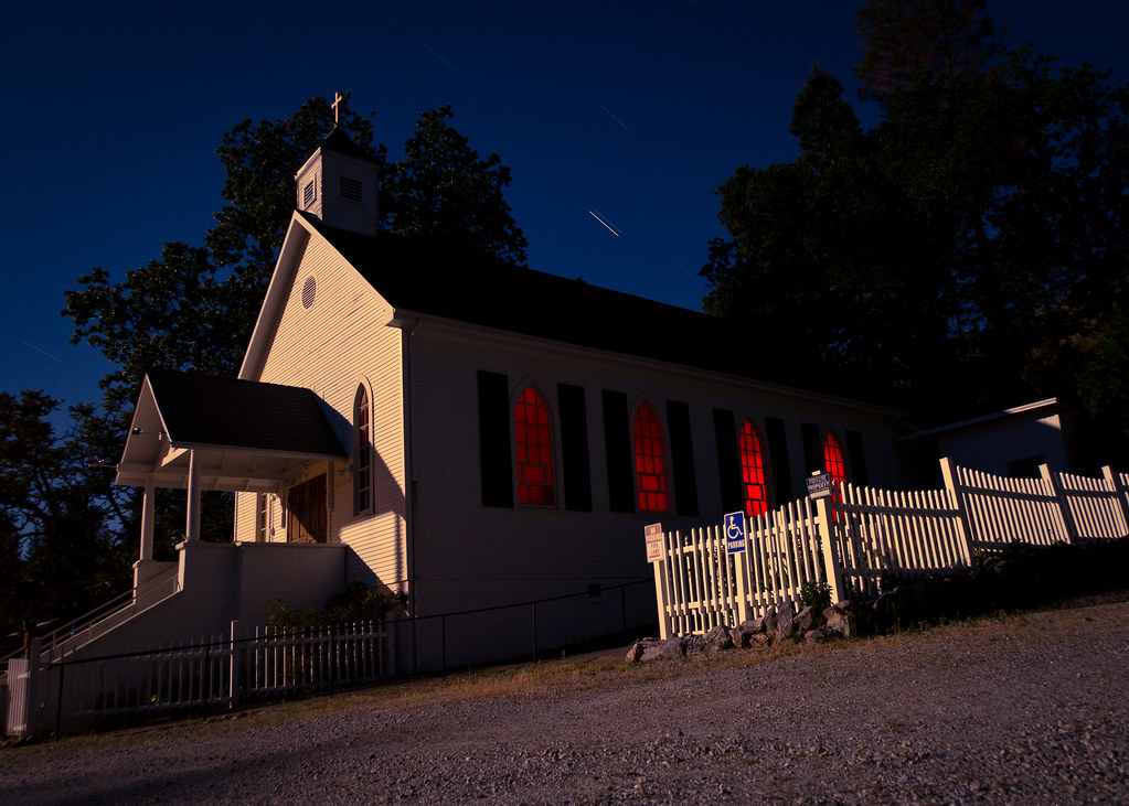
St. Bernard's Church

Diamond Springs Hills

River View
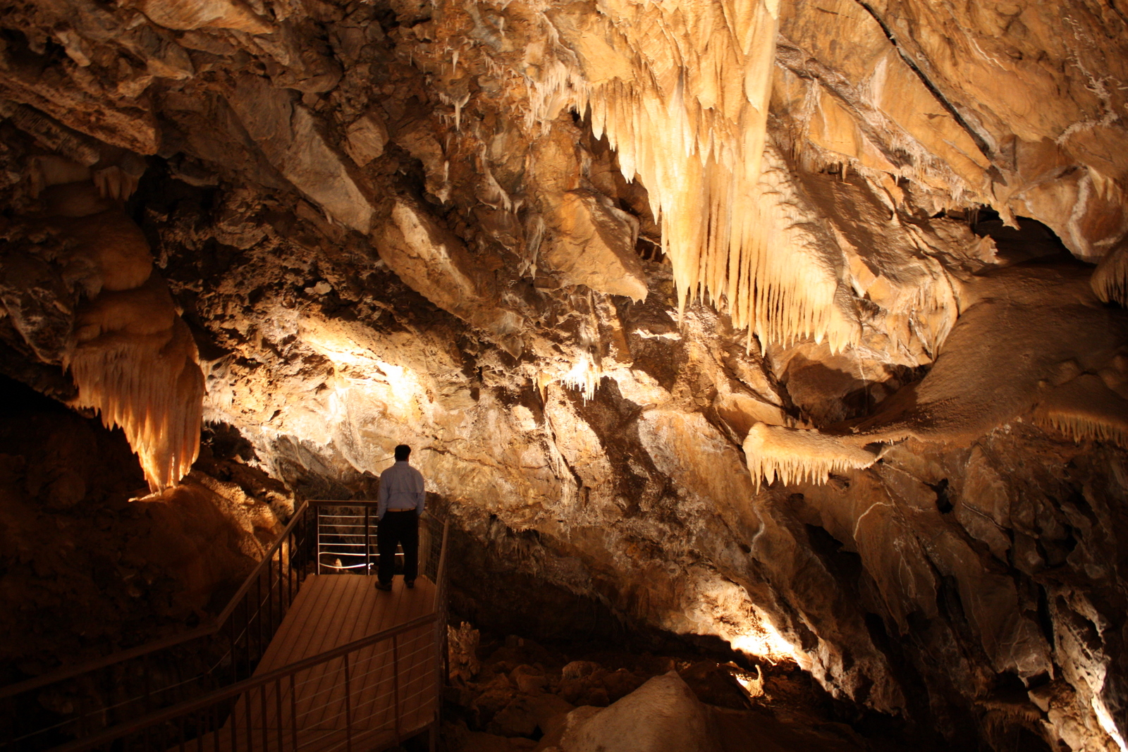
Black Chasm Cavern
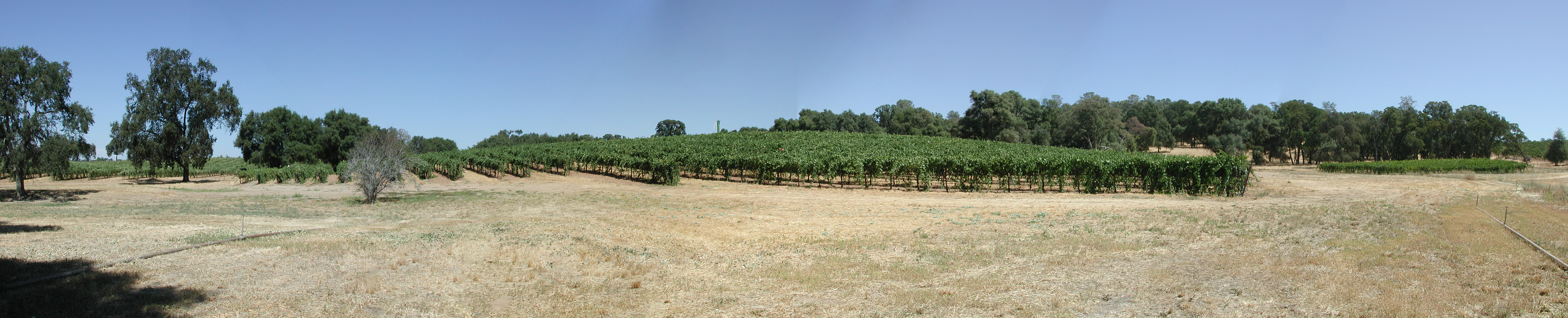
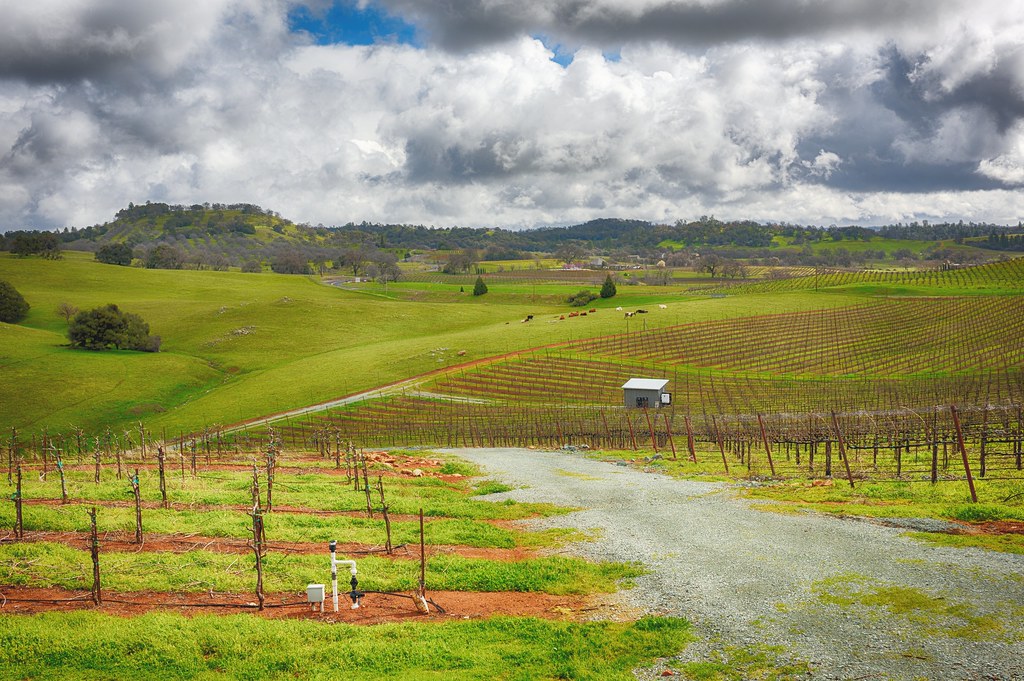
Montevina Winery Panorama

Cabin - River

Cabin - River

Cabin - River

Cabin - Backyard
Karmére Vineyard

Cabin - Front Yard

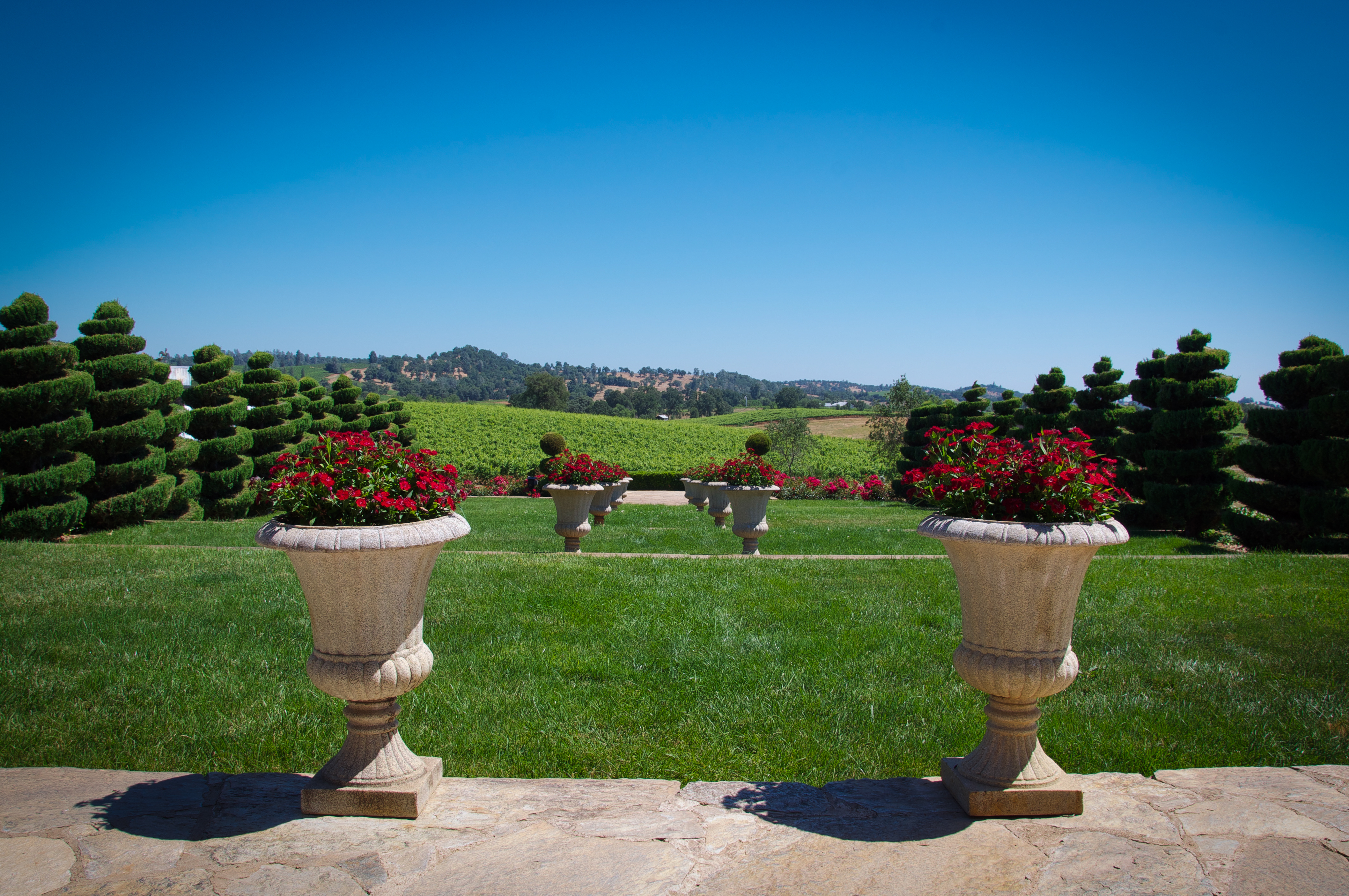
Holly's Hill Winery

"The Truth is Out There"

Stalactites in Black Chasm Cavern, Volcano, California

Big Oak

Black Chasm Caverns

Black Chasm Cavern

Black Chasm Caverns
Shenendoah Valley

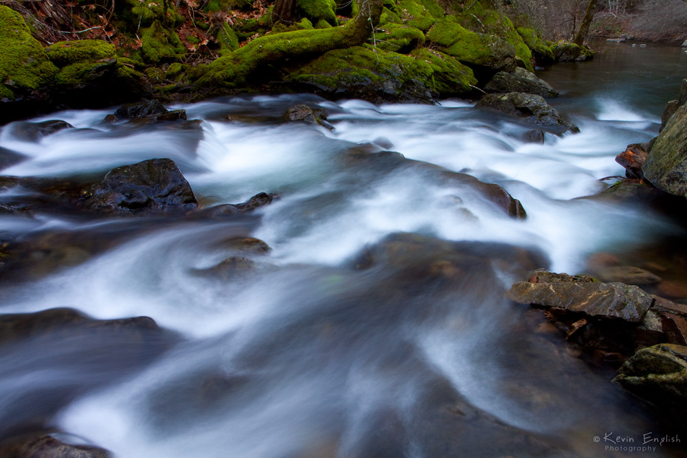
A River Runs Through It

Stormy Sunset in Pleasant Valley

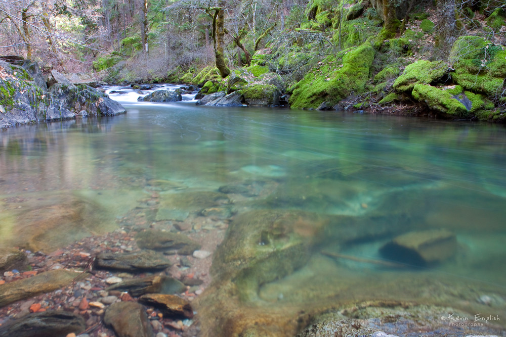
Calm Waters

D'Agostini Reservoir

Protected by the shadows

Busby's Barn

North Fork Flow

Camp Creek Bridge
Sly Park creek

California Foothill Terrain, at it's best !!

Black Chasm Cave Tour
Sly Park Creek #2
Topographic Map of Cedarville Road, Cedarville Rd, California, USA
Find elevation by address:

Places near Cedarville Road, Cedarville Rd, California, USA:
2341 Magic Mine Rd
3790 Omo Ranch Rd
Recovery In Action
3980 Tawanka Rd
Fair Play
6248 Slug Gulch Rd
4960 Omo Ranch Rd
2265 Myrick Rd
Raphael Ridge Road
7700 Silent Path Rd
8081 Kirk Ln
8081 Kirk Ln
8141 Kirk Ln
7380 Vineyard View Dr
6940 Slug Gulch Rd
Coyoteville
3201 Omo Ranch Rd
4081 Farnham Ridge Rd
Cedar Creek Rd, Fiddletown, CA, USA
Round Mountain
Recent Searches:
- Elevation of Corso Fratelli Cairoli, 35, Macerata MC, Italy
- Elevation of Tallevast Rd, Sarasota, FL, USA
- Elevation of 4th St E, Sonoma, CA, USA
- Elevation of Black Hollow Rd, Pennsdale, PA, USA
- Elevation of Oakland Ave, Williamsport, PA, USA
- Elevation of Pedrógão Grande, Portugal
- Elevation of Klee Dr, Martinsburg, WV, USA
- Elevation of Via Roma, Pieranica CR, Italy
- Elevation of Tavkvetili Mountain, Georgia
- Elevation of Hartfords Bluff Cir, Mt Pleasant, SC, USA