Elevation of Catbriar Ln, Burnsville, NC, USA
Location: United States > North Carolina > Yancey County > Burnsville > Burnsville >
Longitude: -82.30034
Latitude: 35.934998
Elevation: 1085m / 3560feet
Barometric Pressure: 89KPa
Elevation Map:
Satellite Map:
Related Photos:

Blue Ridge Sunrise

Sunrise: Black Mountains, NC
White Oak Creek
White Oak Creek Falls

Mount Mitchell

church in the rain

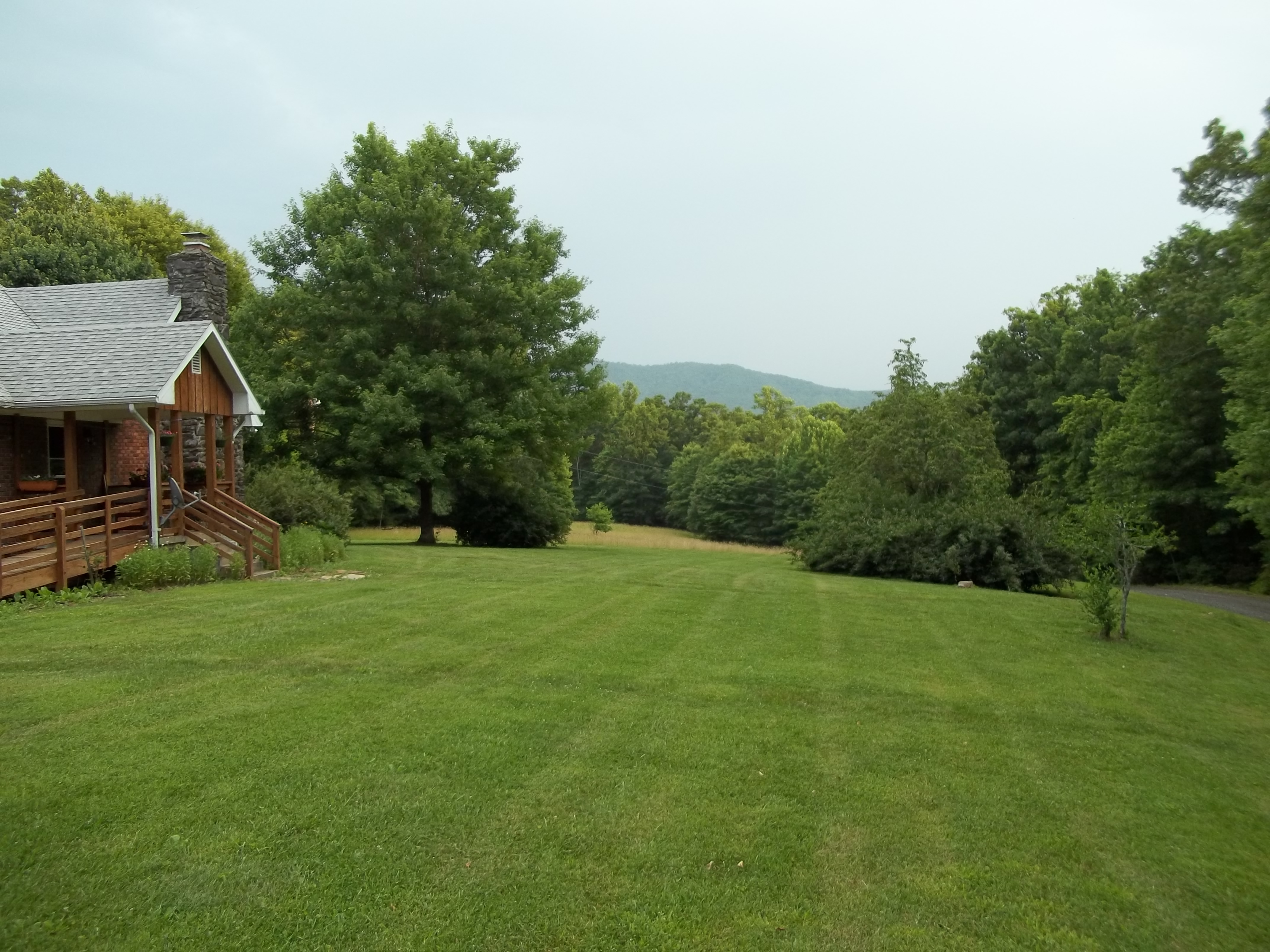
Summer Retreat with Hill of Flowers

The View From The Top: Mountains

Western North Carolina Mountain View

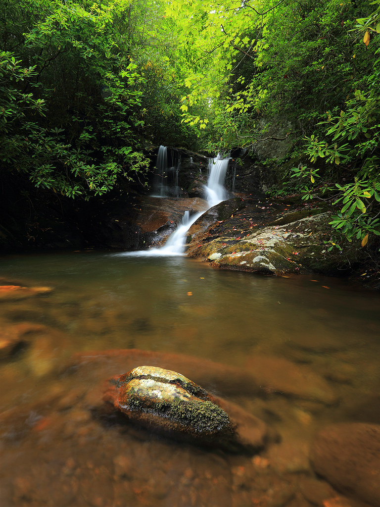
Falls on Whiteoak Creek

THE MUMMY 3

Loafers Glory

A rural mountain church in Kona, NC
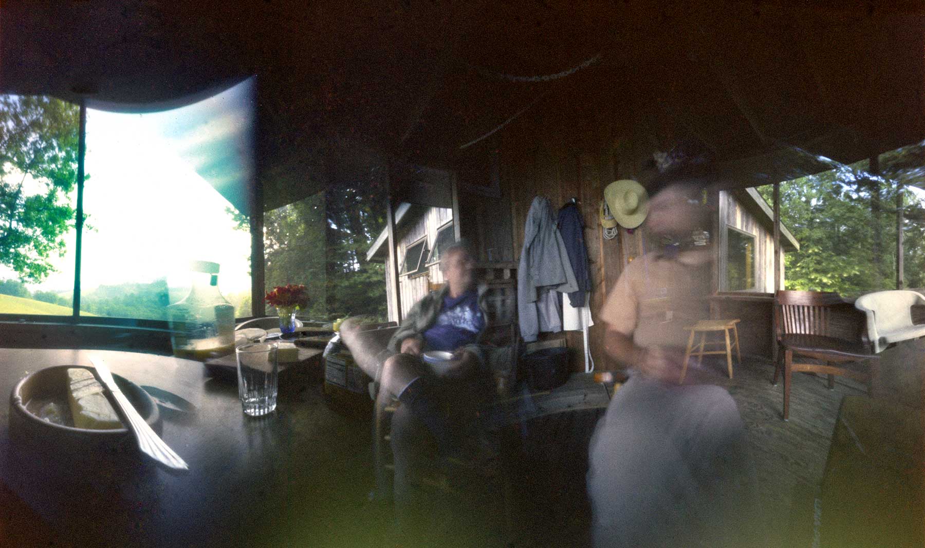
Dan's Porch

Black Mountain Crest Trail

Black Mountain Crest Trail

Black Mountain Crest Trail

View-Top of Lost Cove

Side View Of Mitchell County Courthouse

A View Of Mitchell County Courthouse
Side View 2

The Cure

White Oak Creek

Blue Ridge Sunset (2014 07 03 -3796)

Whistling Gap

Aurora Sun Series - Set of 3 Original Acrylic Paintings

A Church in the Kona Community

Roan Mountain

Light On The Hill: WNC

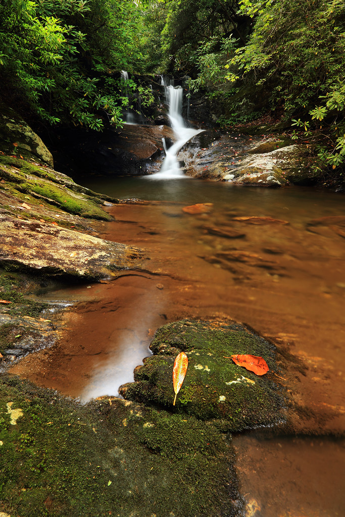
Whiteoak Creek Falls

CSX Q692 @ Green Mountain

CSX @ Toecane, NC.

Flow like water.jpg
Topographic Map of Catbriar Ln, Burnsville, NC, USA
Find elevation by address:

Places near Catbriar Ln, Burnsville, NC, USA:
40 Maxwell Ln
26 Alpine Ln
431 Mitchell Branch Rd
12 Lester Ln, Burnsville, NC, USA
1689 Gilders Creek Rd
1991 Moonshine Mountain Rd
1976 Moonshine Mountain Rd
Windy Ridge
121 Windy Ridge
77 Windy Ridge
690 Green Mountain Dr
Byrd Street
Kid Mountain
Academy Street
Hemlock Lane
219 Mc Intosh Ave
219 Mc Intosh Ave
115 Laurel St
Dale Street
28 Summit St
Recent Searches:
- Elevation of Corso Fratelli Cairoli, 35, Macerata MC, Italy
- Elevation of Tallevast Rd, Sarasota, FL, USA
- Elevation of 4th St E, Sonoma, CA, USA
- Elevation of Black Hollow Rd, Pennsdale, PA, USA
- Elevation of Oakland Ave, Williamsport, PA, USA
- Elevation of Pedrógão Grande, Portugal
- Elevation of Klee Dr, Martinsburg, WV, USA
- Elevation of Via Roma, Pieranica CR, Italy
- Elevation of Tavkvetili Mountain, Georgia
- Elevation of Hartfords Bluff Cir, Mt Pleasant, SC, USA