Elevation of Castle Hill NSW, Australia
Location: Australia > New South Wales >
Longitude: 151.002638
Latitude: -33.733005
Elevation: 134m / 440feet
Barometric Pressure: 100KPa
Elevation Map:
Satellite Map:
Related Photos:

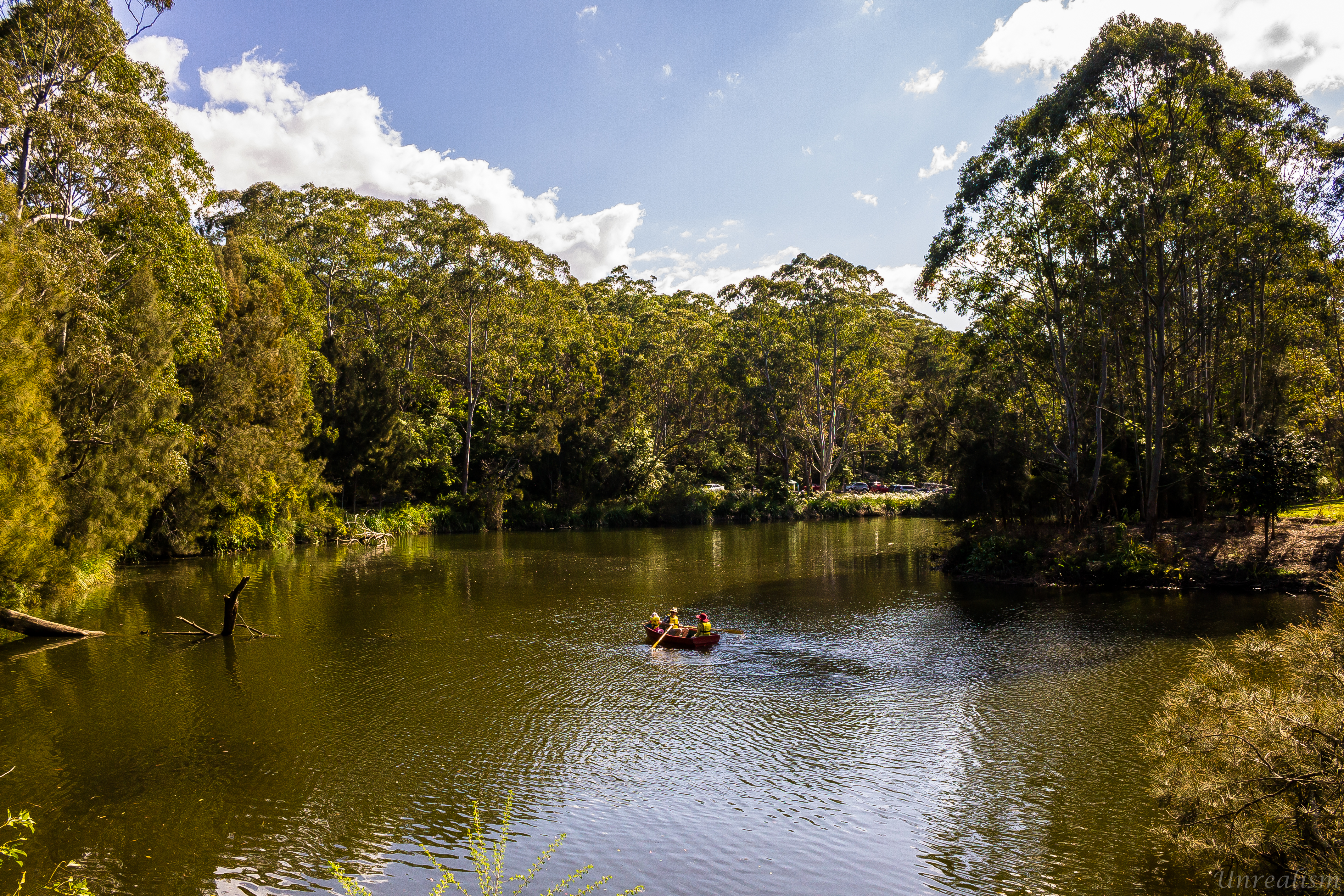
Classic View - Parramatta Lake

Road Building Equipment

Bunya Pine
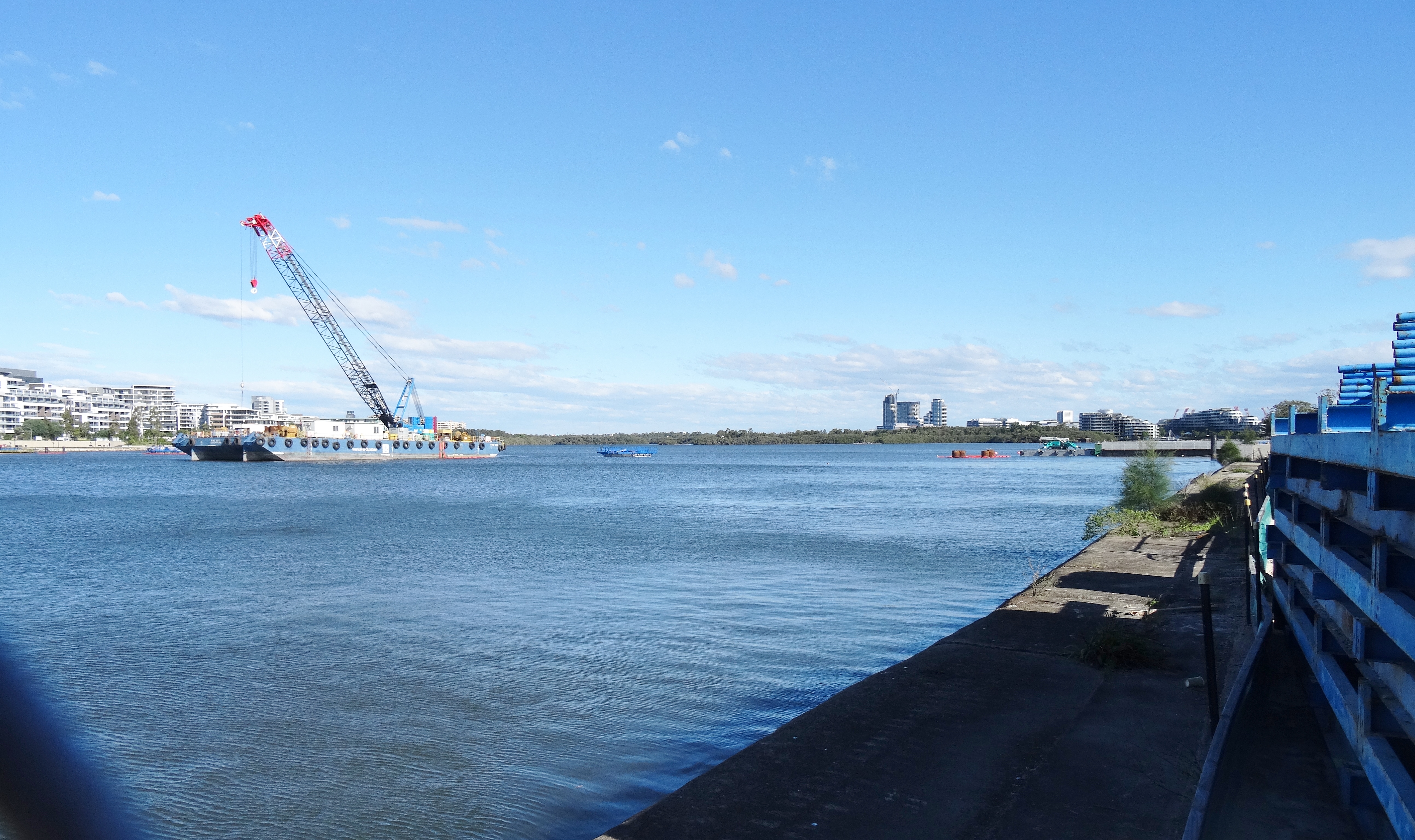
Construction of Homebush Bay Bridge between Rhodes and Wentworth Point.

Don't Fence Me In
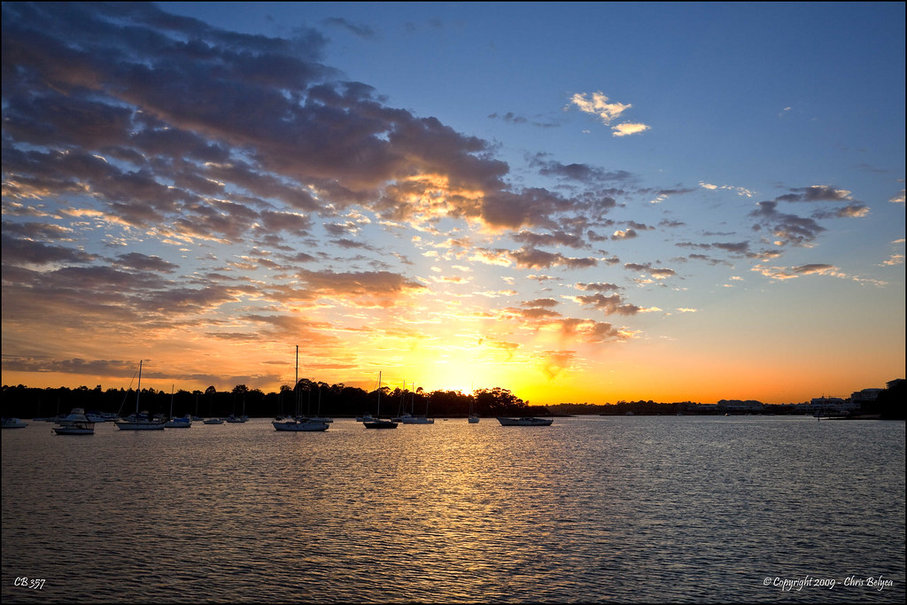
Day 338/365 (04 December 09) - Summer Sunrise

Agradecida por tener estas vistas a diario / Thankful for having this daily views #sydney #nsw #australia #nofilter #sinfiltro
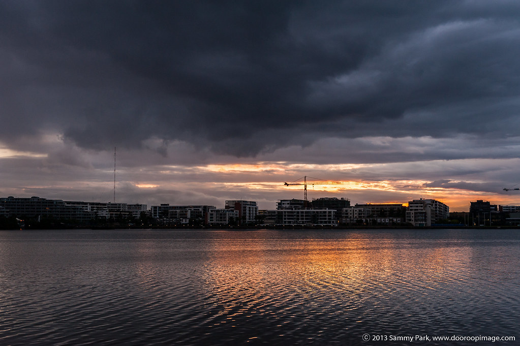
Room with a View

OvErProCeSSeD? - Toyrolla

Sleeping Giant - Night train

Study view

My view for the evening... Not a bad spot.

Coupled set of O/P Class Tram at Ryde Terminus
Rhodes, NSW, Australia
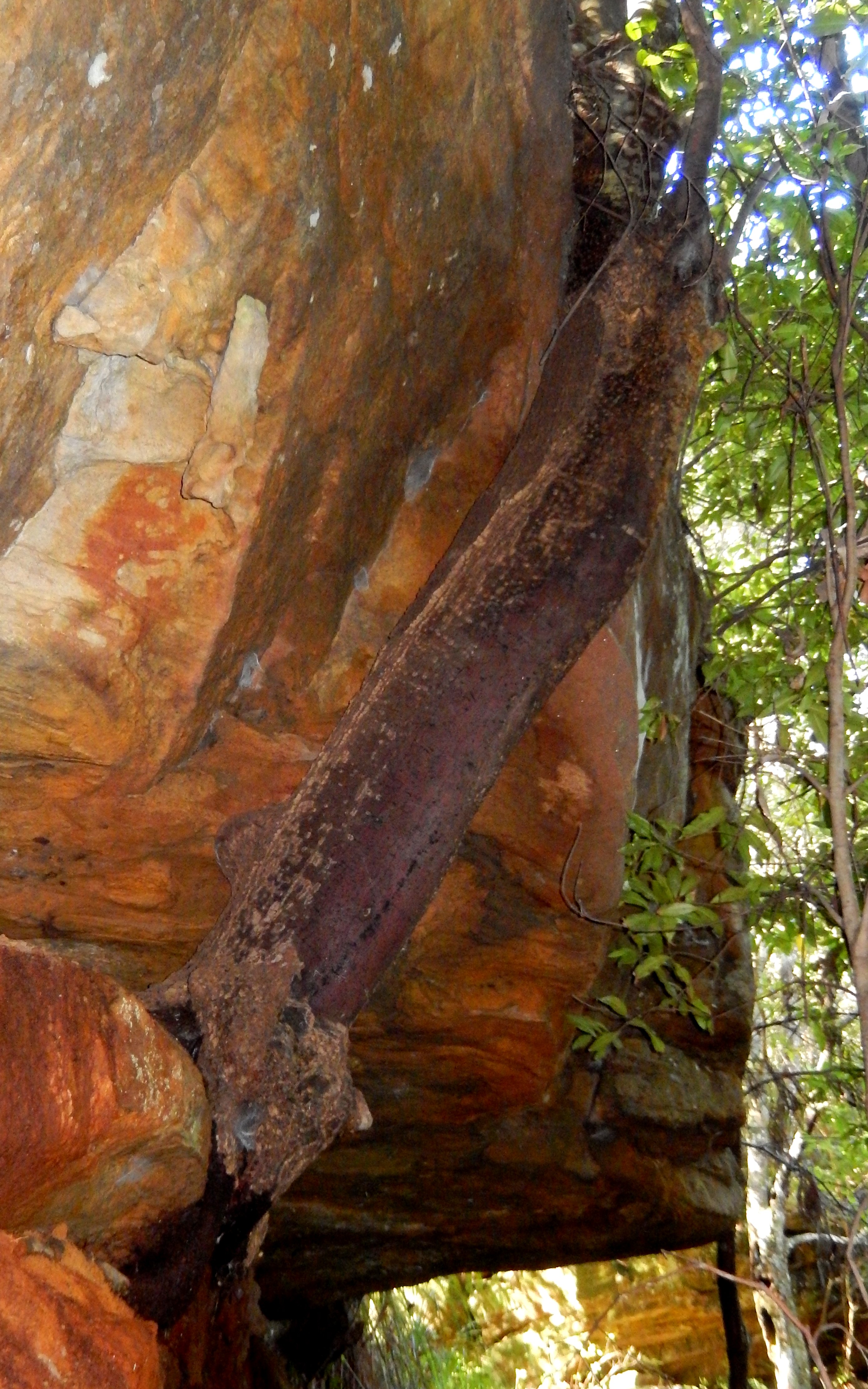
Coachwood growing from a rock (Cerapetolatum apetalatum)

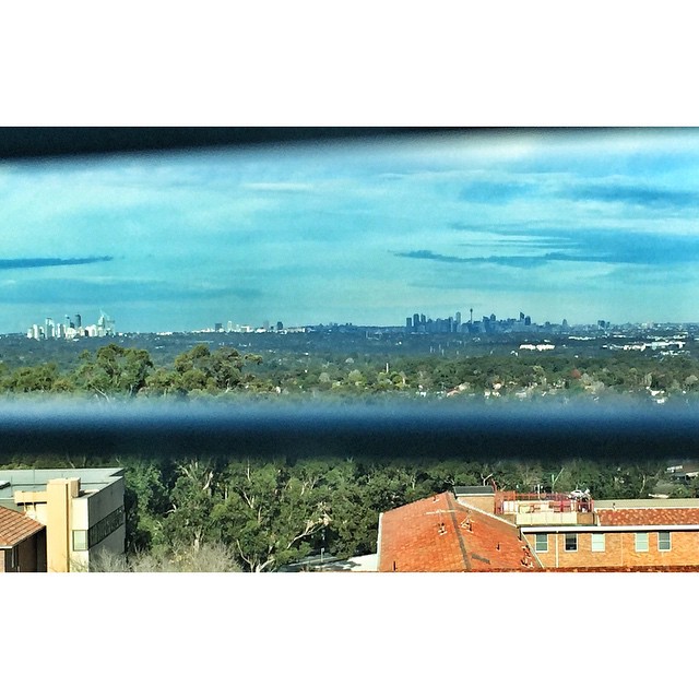
View from Level 9

The Willandra

Kronos Hill
A beautiful day, A pleasant vista!

Hargrave Rd looking up to Auburn Hospital

Japanese Garden Waterfall
Topographic Map of Castle Hill NSW, Australia
Find elevation by address:

Places in Castle Hill NSW, Australia:
Places near Castle Hill NSW, Australia:
21 Hume Ave
Castle Towers
109 Excelsior Ave
31 Walsh Ave
13 Jordana Pl
10 Jordana Pl
16 Yerong Pl
5 Dornoch Ct
Rogans Hill
2 Martindale Ave
Priscilla Place
6 Alex Pl
10 Celeste Ave
10 Jenner Rd
Jenner Road
9 Glen Helen Grove
15 Protea Pl
2 Elgin Way
15/20 Kenburn Ave
Cherrybrook
Recent Searches:
- Elevation of Corso Fratelli Cairoli, 35, Macerata MC, Italy
- Elevation of Tallevast Rd, Sarasota, FL, USA
- Elevation of 4th St E, Sonoma, CA, USA
- Elevation of Black Hollow Rd, Pennsdale, PA, USA
- Elevation of Oakland Ave, Williamsport, PA, USA
- Elevation of Pedrógão Grande, Portugal
- Elevation of Klee Dr, Martinsburg, WV, USA
- Elevation of Via Roma, Pieranica CR, Italy
- Elevation of Tavkvetili Mountain, Georgia
- Elevation of Hartfords Bluff Cir, Mt Pleasant, SC, USA