Elevation of Cherrybrook NSW, Australia

Location: Australia > New South Wales >

Longitude: 151.043844

Latitude: -33.721074

Elevation: 155m / 509feet

Barometric Pressure: 99KPa

Elevation Map:

elevation map of Cherrybrook NSW, Australia

Satellite Map:

Satellite map of Cherrybrook NSW, Australia

Related Photos:

road 3 green cars grass car train photoshop fence lens graffiti nikon exposure track mask tracks shift mini steam line roller handheld com pro 1855mm nikkor dslr maker tilt bushes hdr vr unsharp paver exp tiltshift d90 photomatix tonemapped cs5
OvErProCeSSeD? - Toyrolla
urban colour landscape sydney australia streetscene nsw newsouthwales streetscape streetview chatswood victoriaave colourphotograph sydneytrams oclasstram tramphoto penshurstst
The last O-Class Tram Built in this Class is Turning into Victoria Ave
gardens geotagged botanical waterfall sydney auburn geo:lat=33858912 geo:lon=151018179
Japanese Garden Waterfall
day338 project3661 canon5dmkii
Day 338/365 (04 December 09) - Summer Sunrise
sunrise boats dawn time sydney australia nsw yachts northsydney sydneyharbour 2012 waverton parramattariver berrysbay photospecs andyburton wavertonpark aperture33 iphone4s flickrexport403
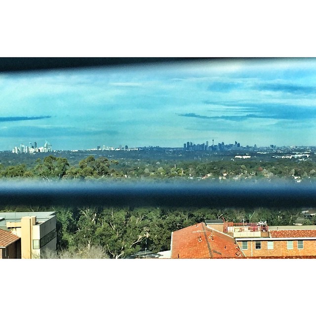
Sydney viewed across Berrys Bay from Waverton Park
square squareformat mayfair iphoneography instagramapp uploaded:by=instagram
Agradecida por tener estas vistas a diario / Thankful for having this daily views #sydney #nsw #australia #nofilter #sinfiltro
uploaded:by=flickrmobile flickriosapp:filter=nofilter abbotsfordrowersclub
Abbotsford, view out to Parramatta River
square squareformat iphoneography instagramapp uploaded:by=instagram
Room with a View
urban landscape suburban sydney australia streetscene nsw newsouthwales streetscape streetview artarmon tramtour pacifichwy sydneytrams oclasstram tramphoto
An O at Artarmon Shops
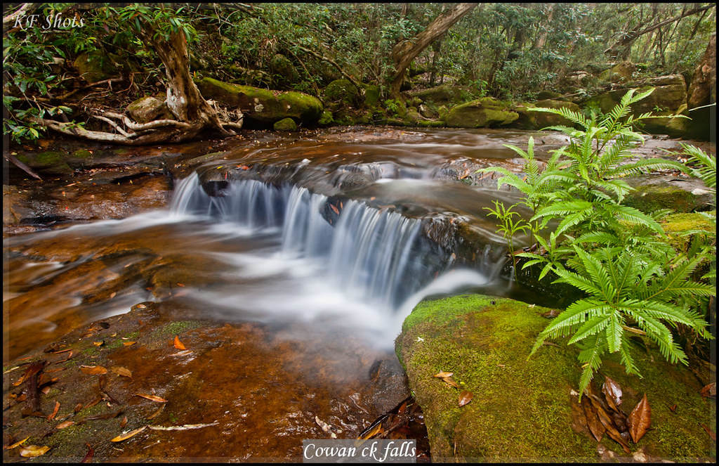
fishing australia nsw newsouthwales activities peachtrees hawksburyriver mountkuringgai australianplaces
Cowan ck falls
road city trees light grass night train nikon long exposure trails rail steam line trail wires roller express 1855mm nikkor dslr northern hornsby vr paver d90
Sleeping Giant - Night train
fishing australia nsw newsouthwales activities peachtrees hawksburyriver mountkuringgai australianplaces
Cowan ck falls
Study view
square squareformat mayfair iphoneography instagramapp uploaded:by=instagram foursquare:venue=4b0b14b3f964a520922c23e3
My view for the evening... Not a bad spot.
urban bw landscape sydney australia streetscene nsw newsouthwales trams streetscape nestle streetview bwphoto ryde bwphotograph tramterminus streetvision sydneytram sydneytrams popest tramphoto opclass rydeterminus devlinst blackandwhiteciggarettes opclasstram
Coupled set of O/P Class Tram at Ryde Terminus
landscape sydney australia rhodes riverview sydneyview sydneylandscape riverviewapartment sydneyunits
Rhodes, NSW, Australia
waterfall sandstone sydney shale turramurra coachwood cunoniaceae arfp hawkesburysandstone ceratopetalum ceratopetalumapetalum nswrfp qrfp australianrainforesteducation lowlandarf uplandarf warmtemperatearf sydneyrainforest
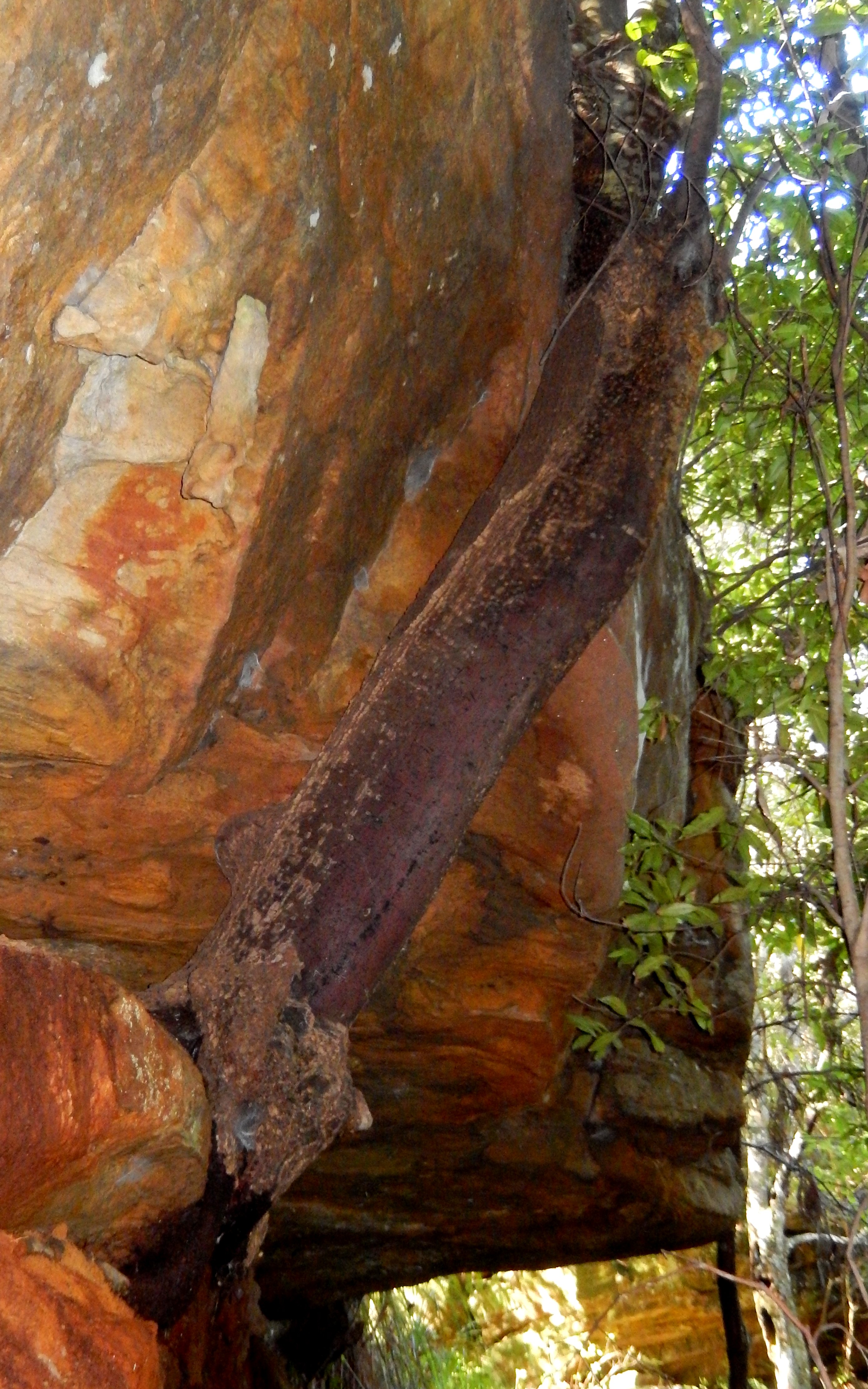
Coachwood growing from a rock (Cerapetolatum apetalatum)
urban landscape suburban sydney australia streetscene nsw newsouthwales streetscape streetview cabarita sydneytrams tramphoto cabaritajunction staffkey
Cabarita Junction
geotagged waldorf sydney australia vista newsouthwales camellia aus rosehill parramatta canon7d geo:lat=3382433015 geo:lon=15102083445
View from Level 9
urban bw landscape sydney tram australia streetscene photograph nsw newsouthwales streetscape streetview 815 bwphoto lanecove wynyard austinst sydneytrams longuevilleroad rclasstram oclasstram tramphoto lanecovetramterminus lanecoveterminus lanecoveprimaryschool
O-Class and a R-Class Tram at Lane Cove
sydney australia nsw newsouthwales churchst ryde victoriard rydecouncil willandrast willandrahouse thewillandra
The Willandra