Elevation of Casselton, ND, USA
Location: United States > North Dakota > Cass County >
Longitude: -97.239846
Latitude: 46.9367312
Elevation: 288m / 945feet
Barometric Pressure: 98KPa
Elevation Map:
Satellite Map:
Related Photos:
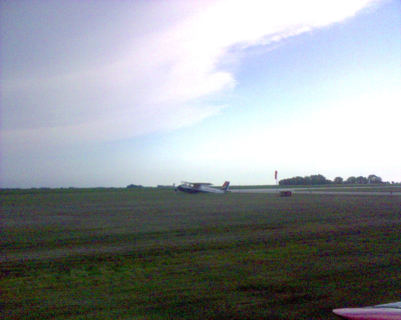
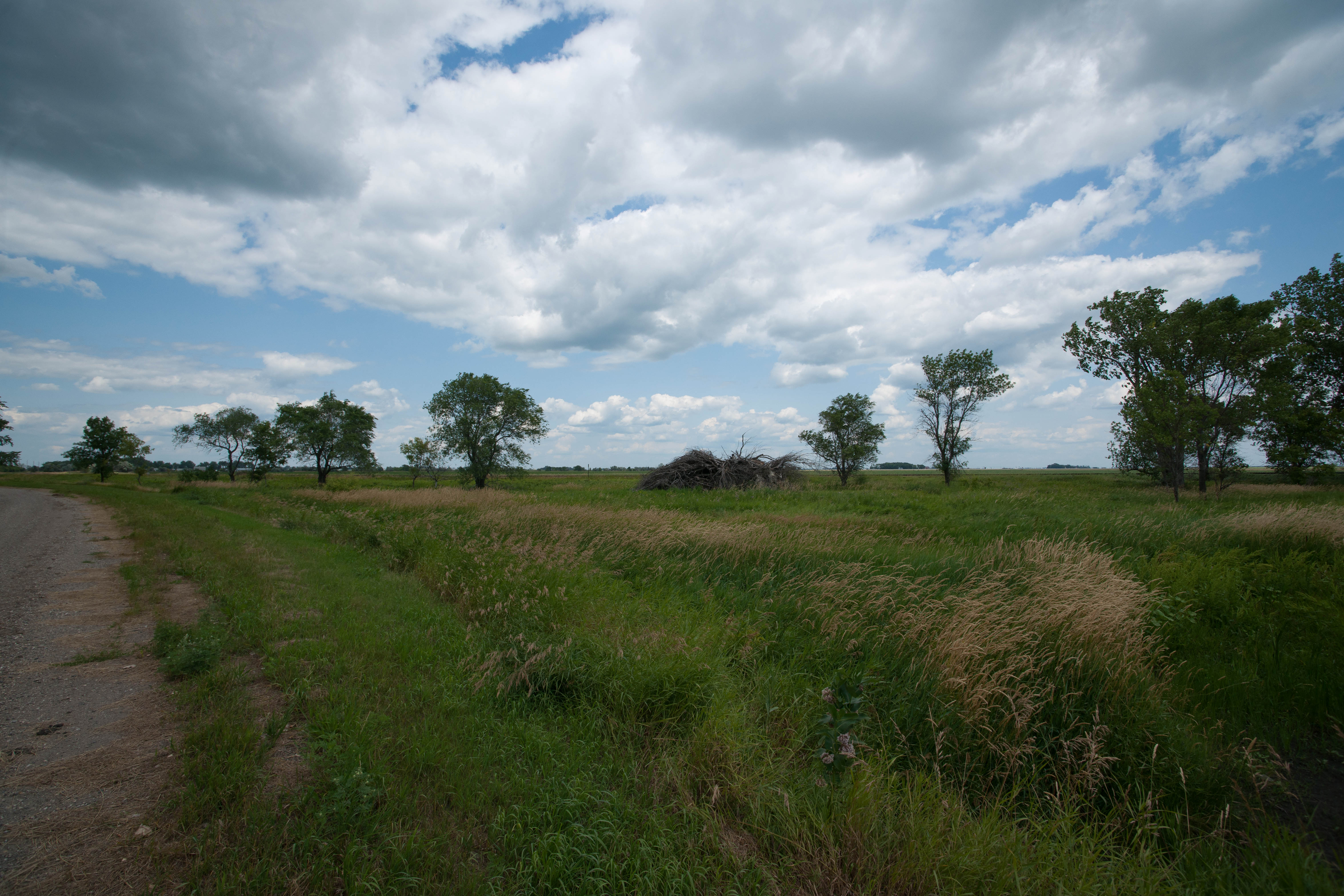
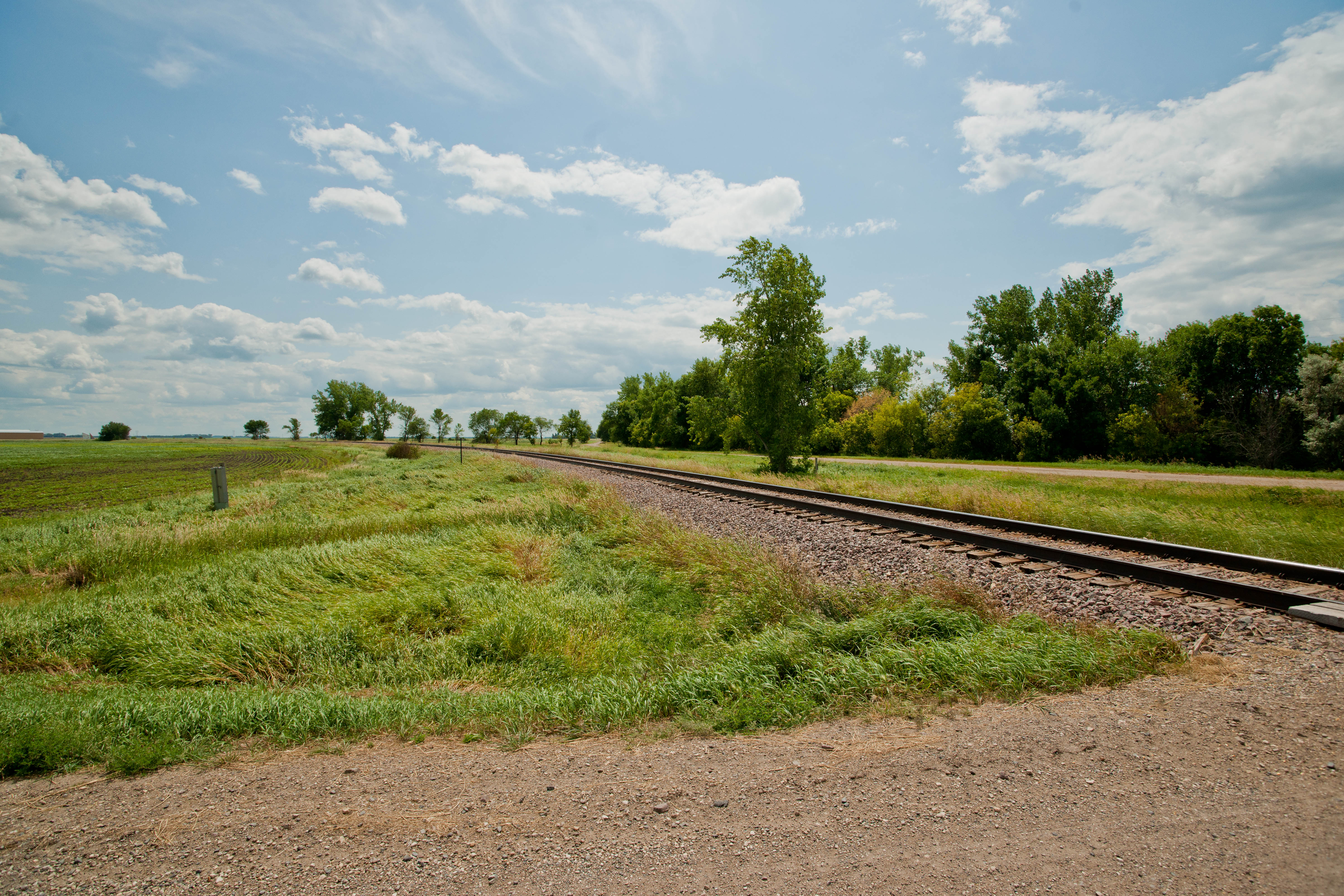
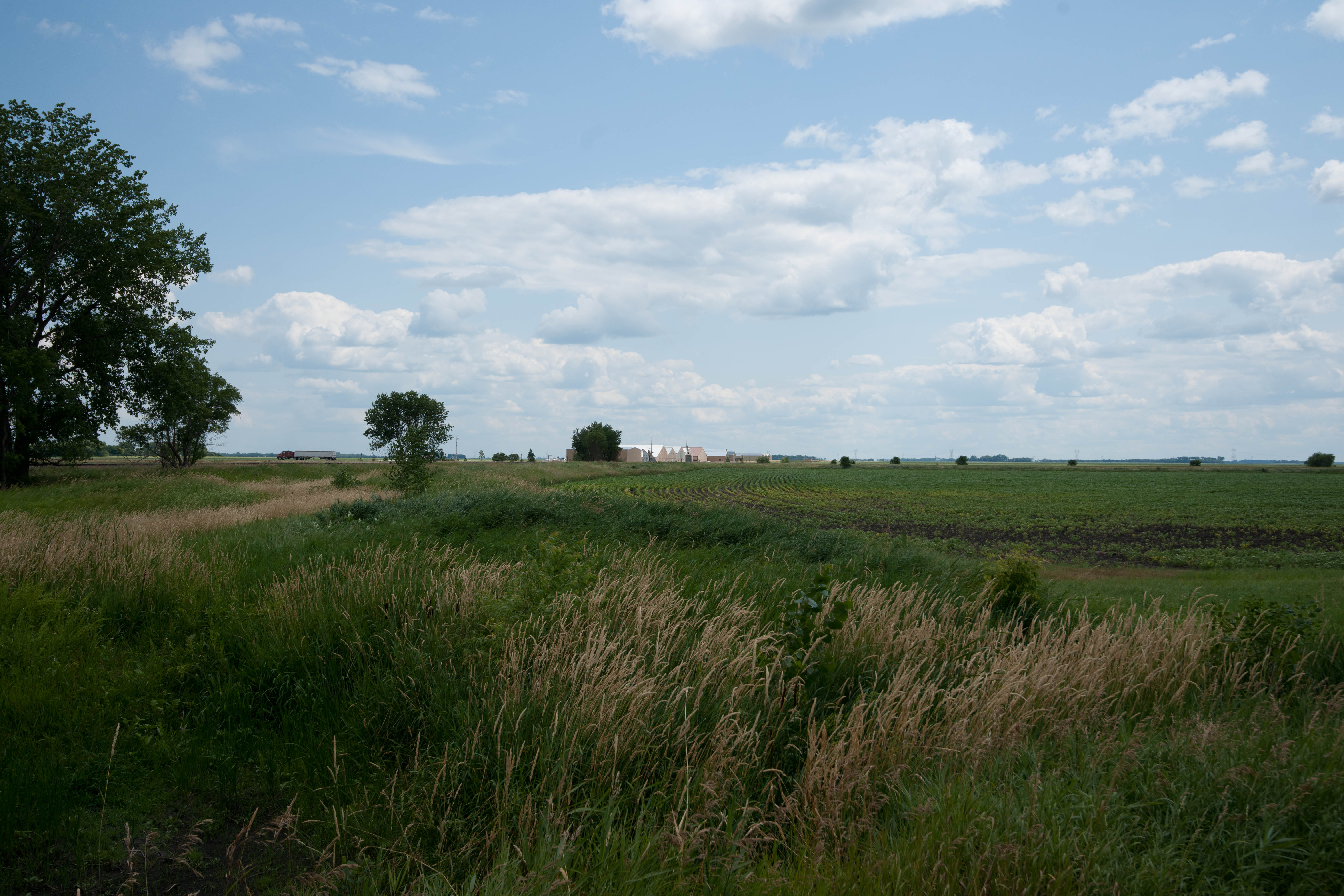
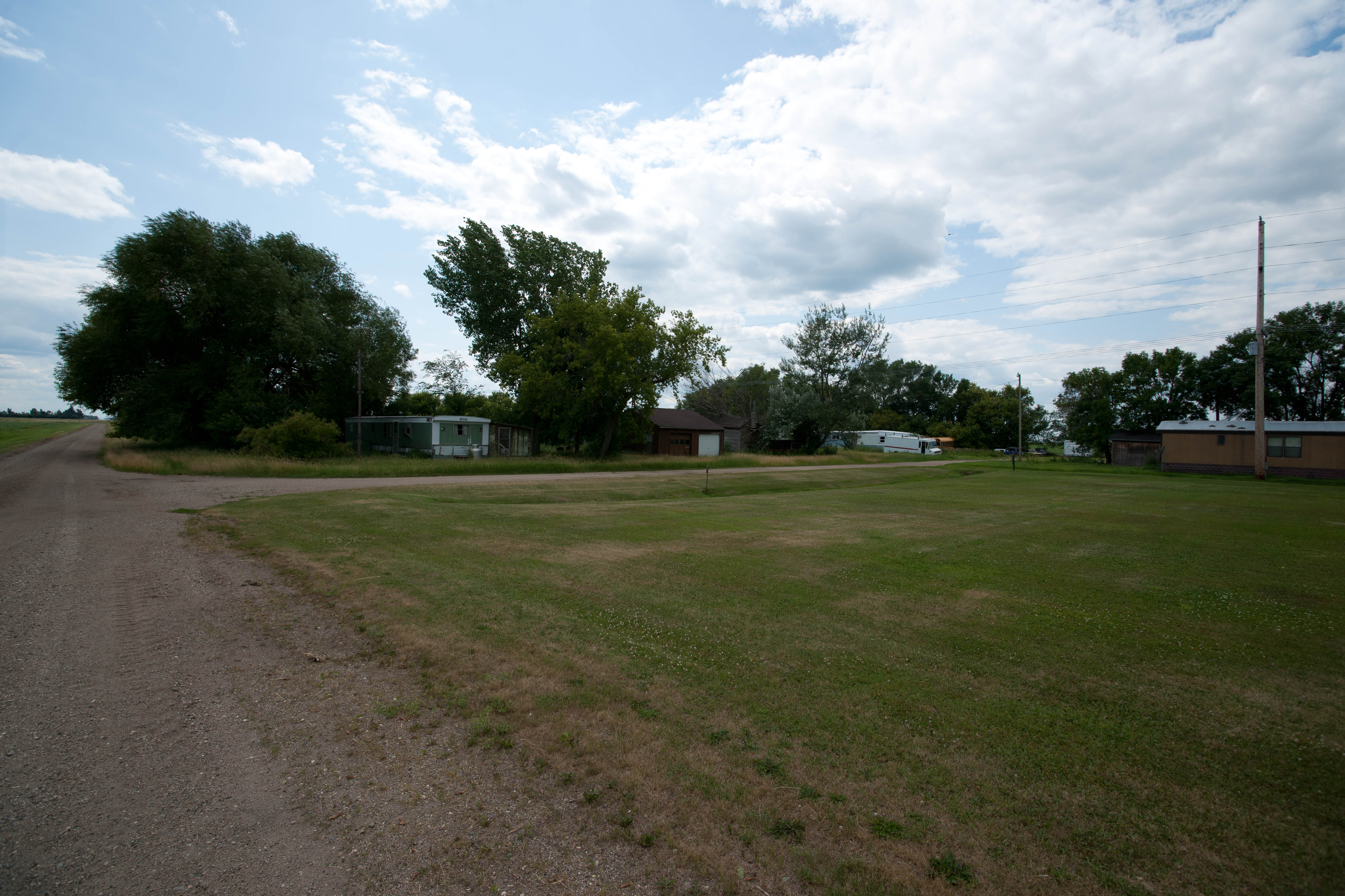
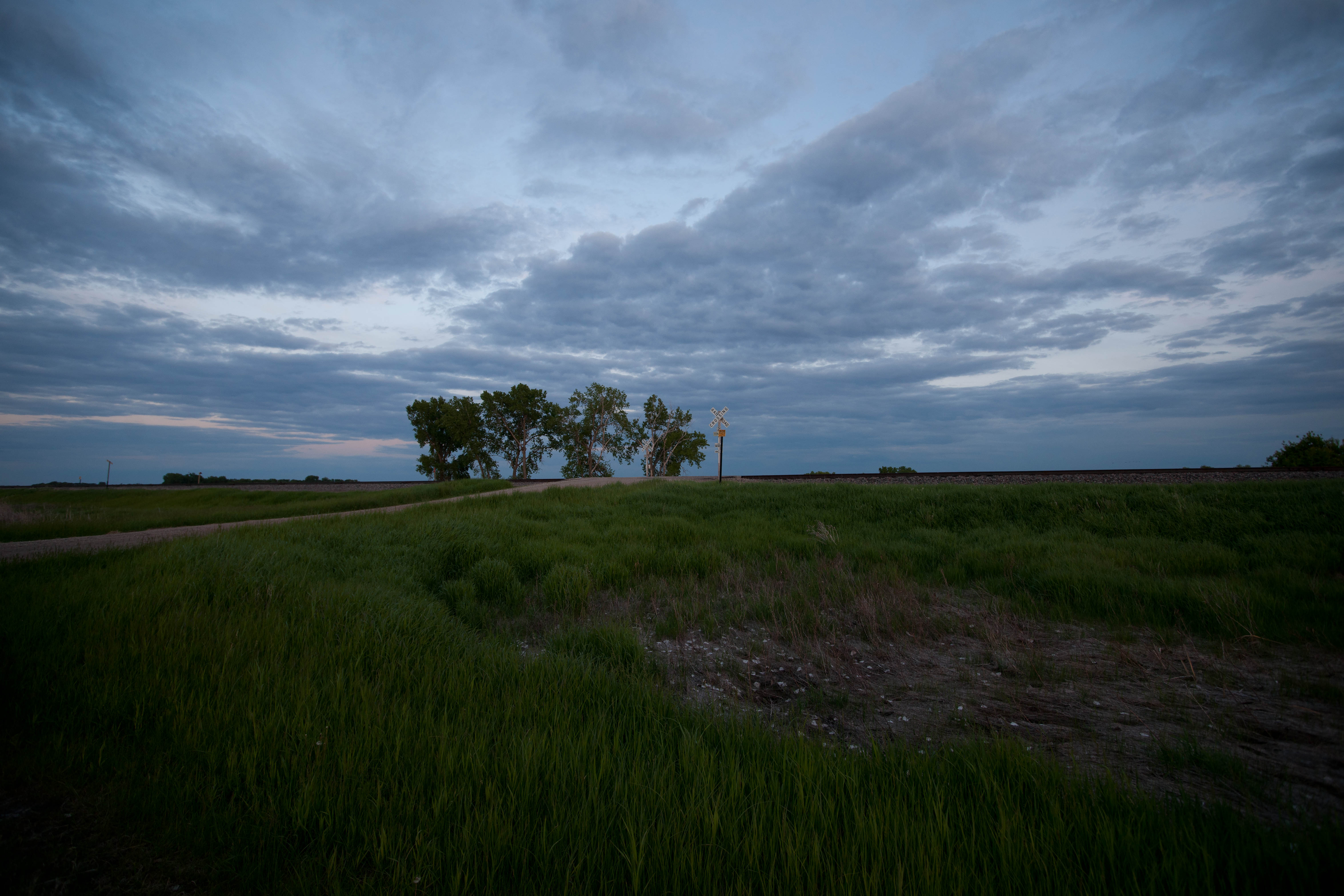
Everest, North Dakota
Everest, North Dakota
Everest, North Dakota
Everest, North Dakota
Everest, North Dakota

Myra, North Dakota
Everest, North Dakota
Everest, North Dakota

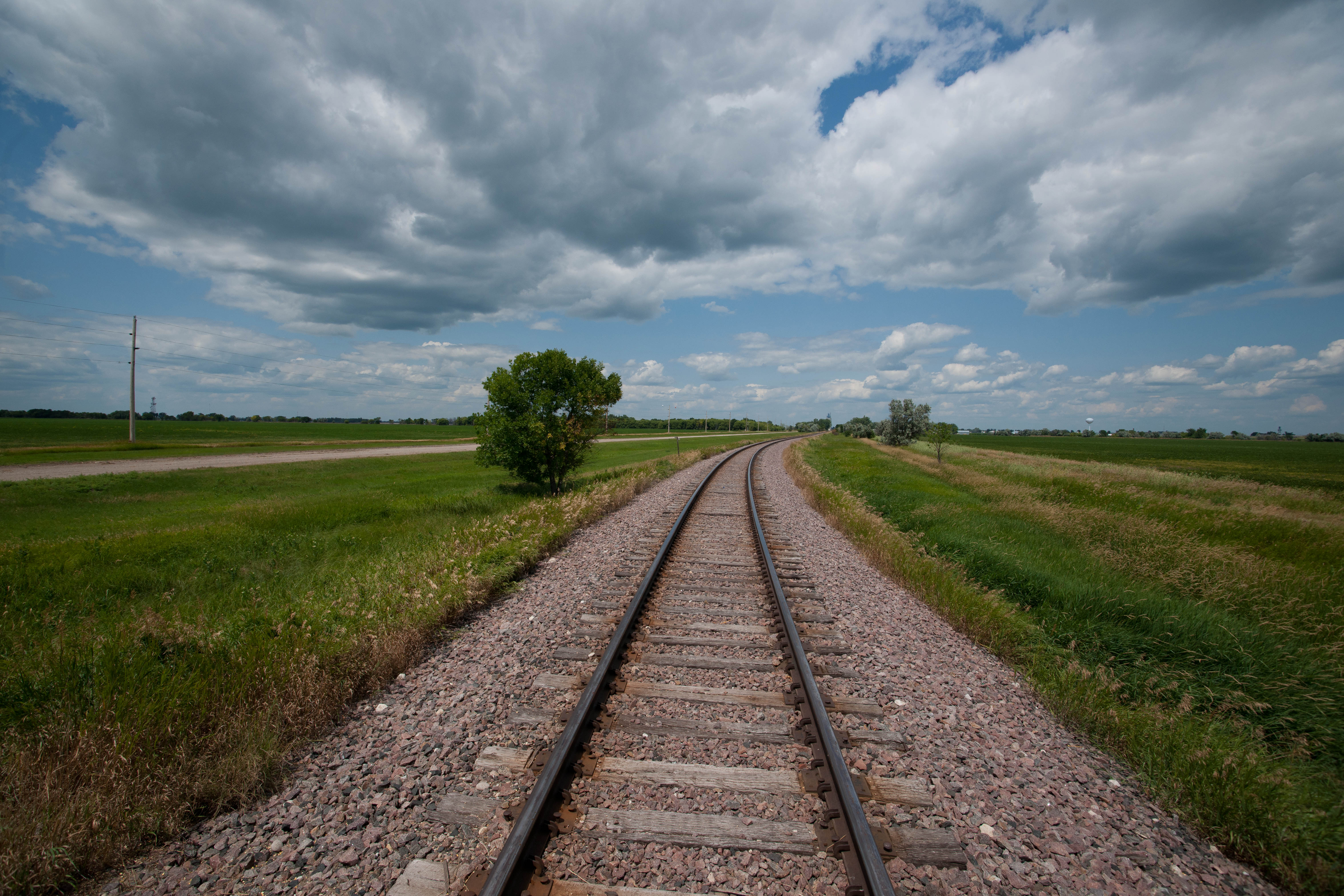
Road Trip 2012 - 0309
Magnolia, North Dakota

Barn by the highway
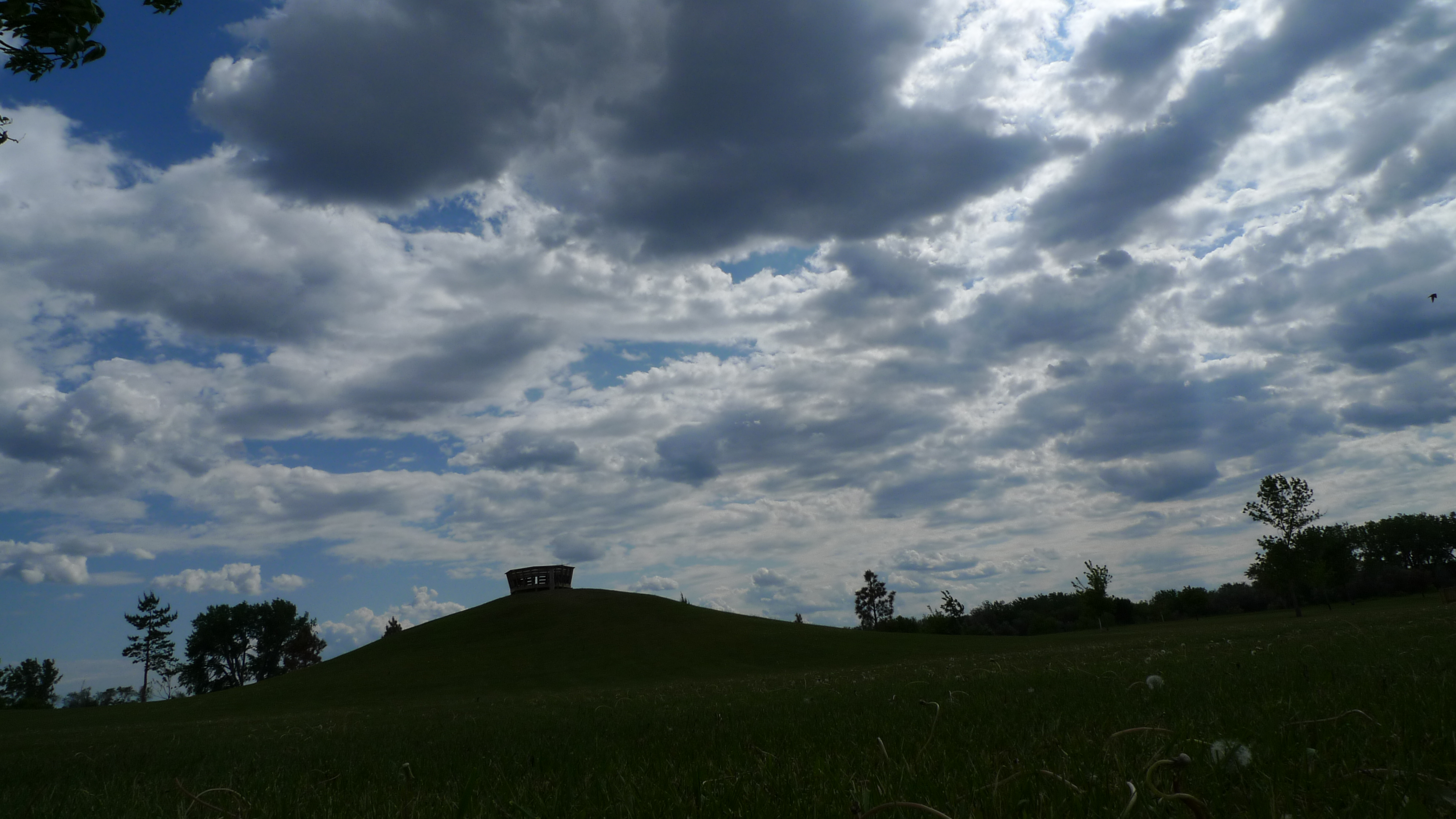
Tinta Tawa Park
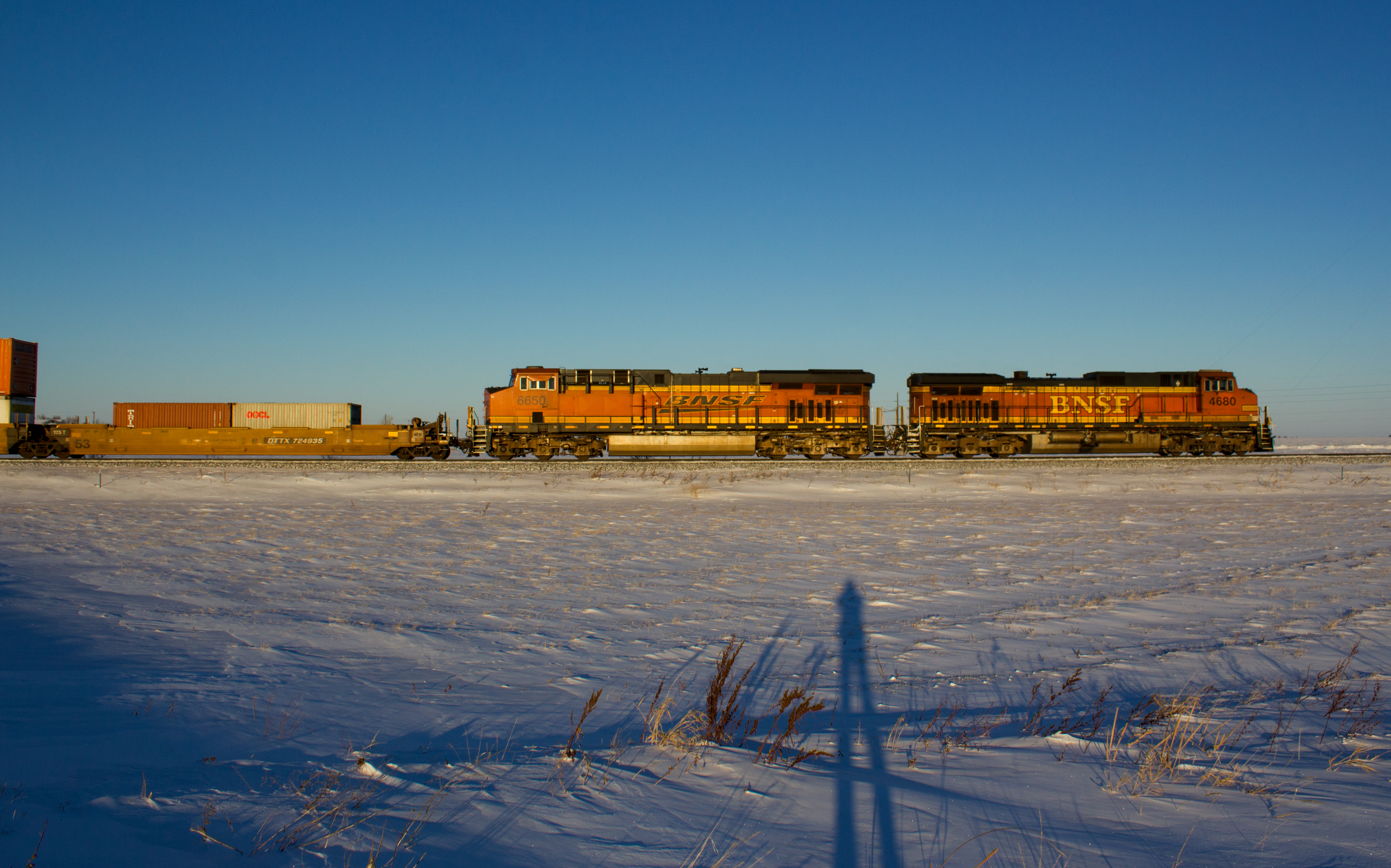
BNSF 4860
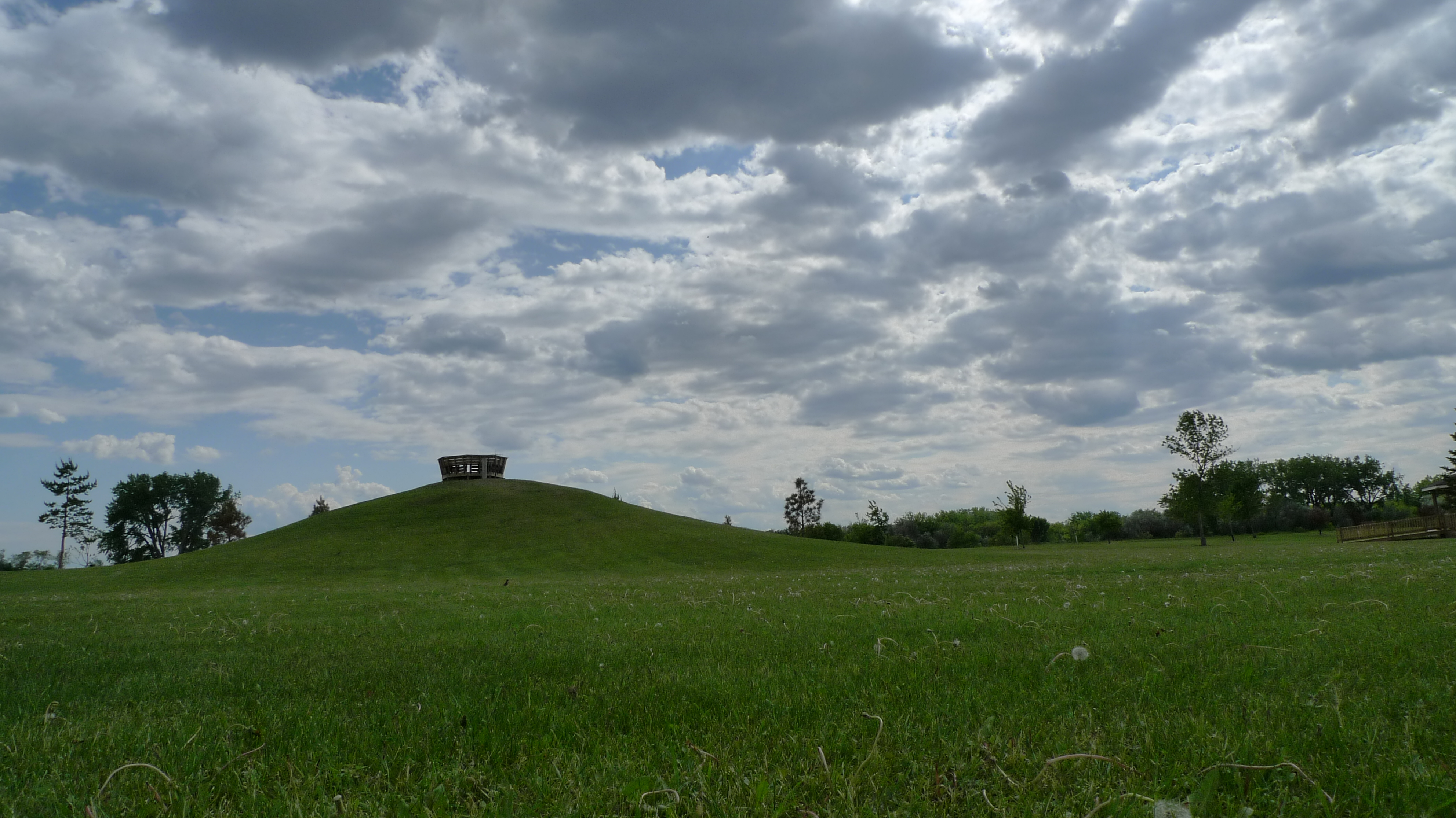
Tinta Tawa Park
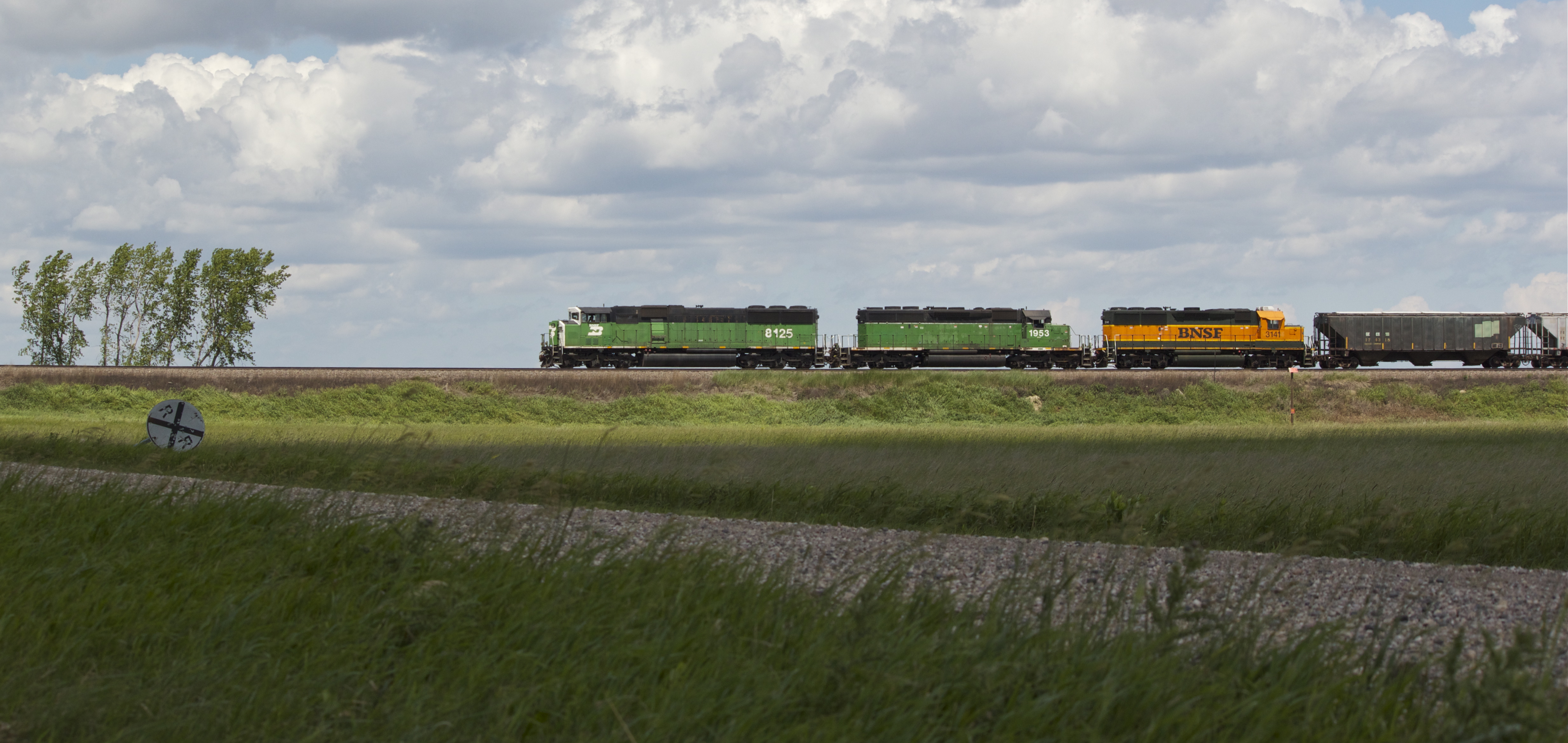
BNSF 8125

Road Trip 2012 - 0311
Magnolia, North Dakota
Magnolia, North Dakota
But this one was
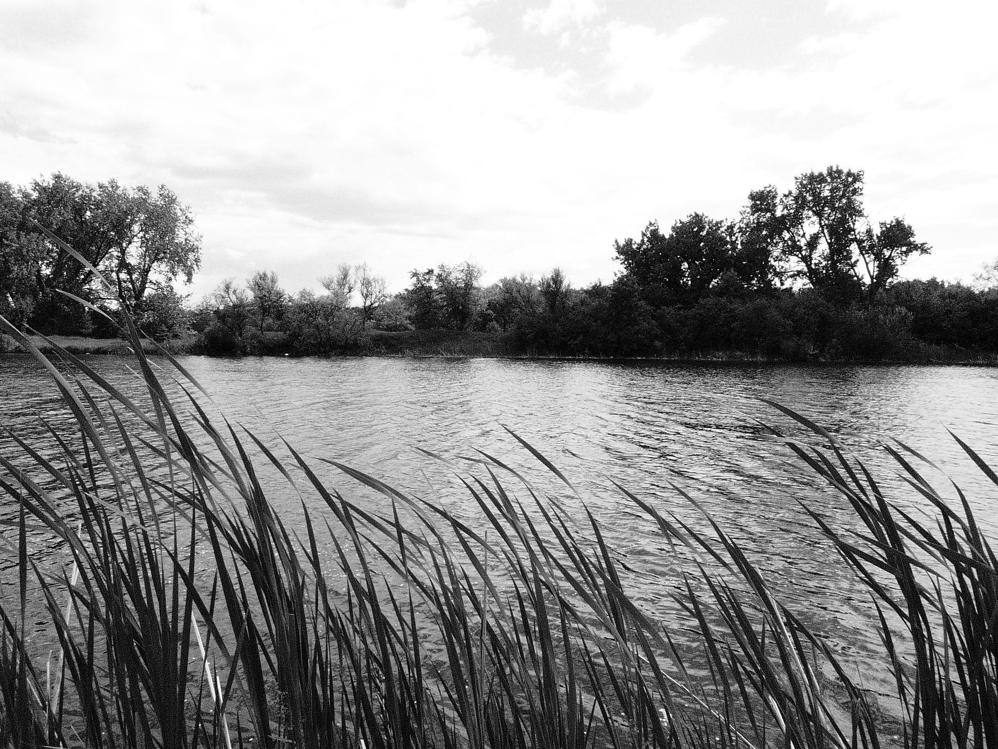
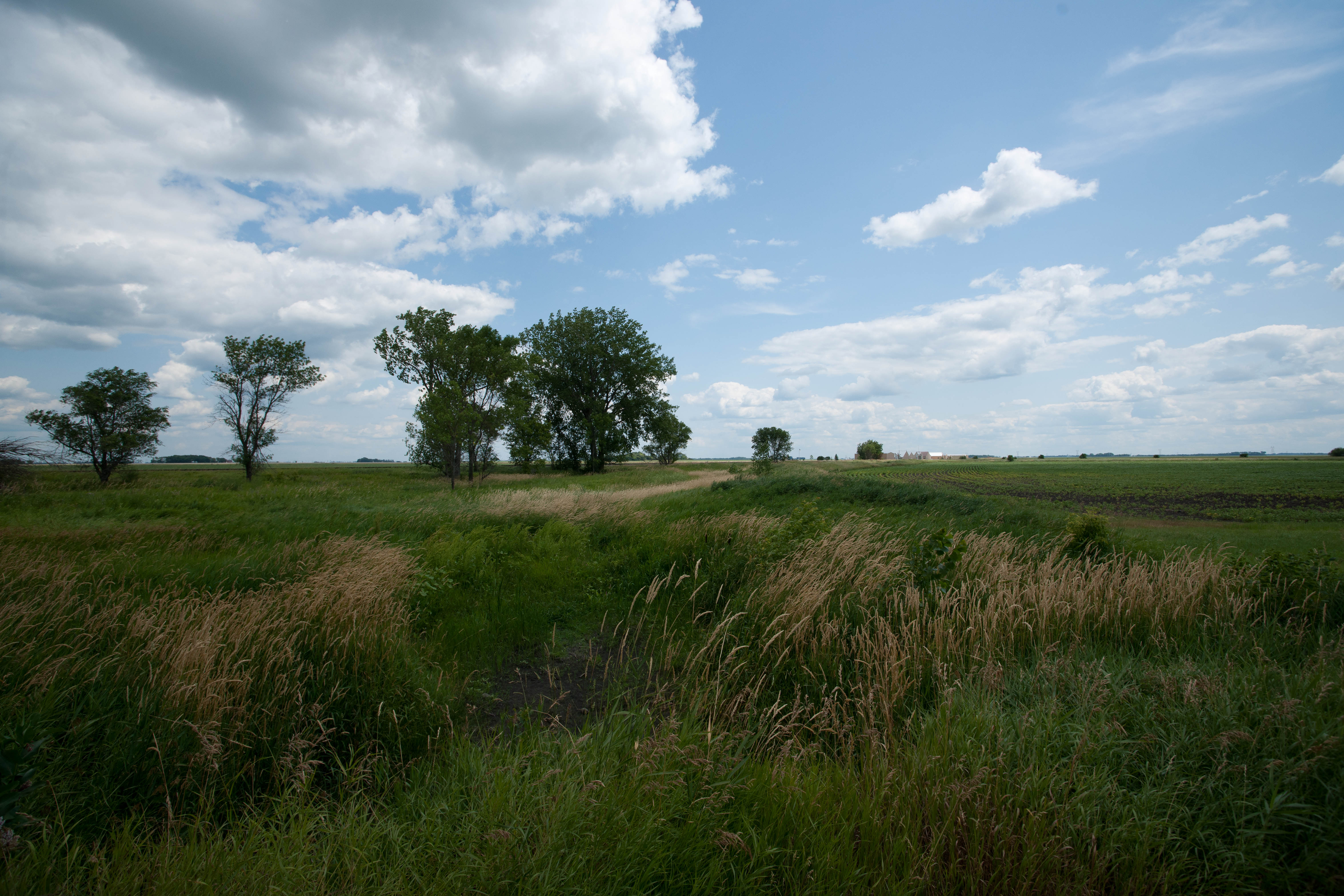
Casselton Pond
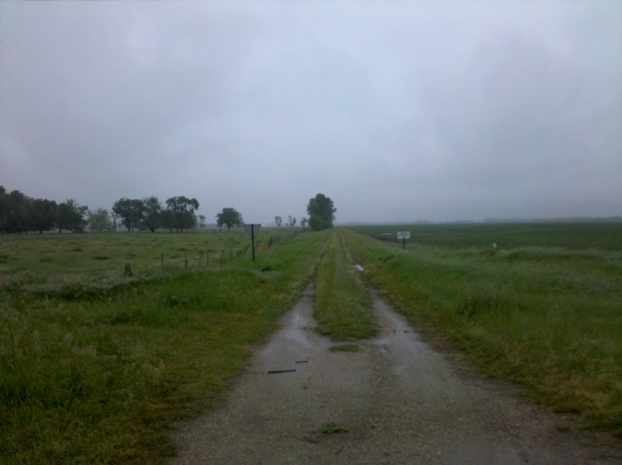
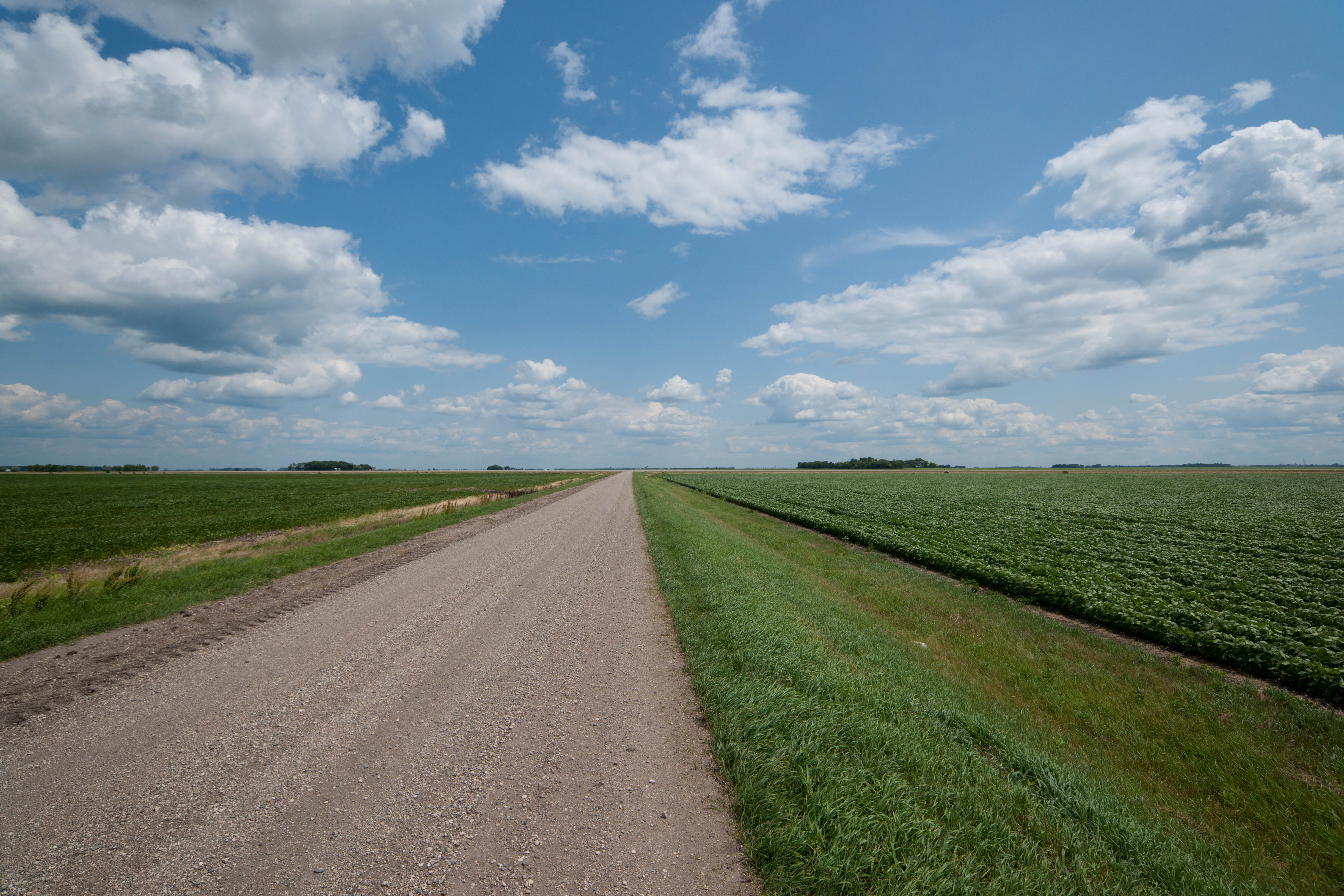
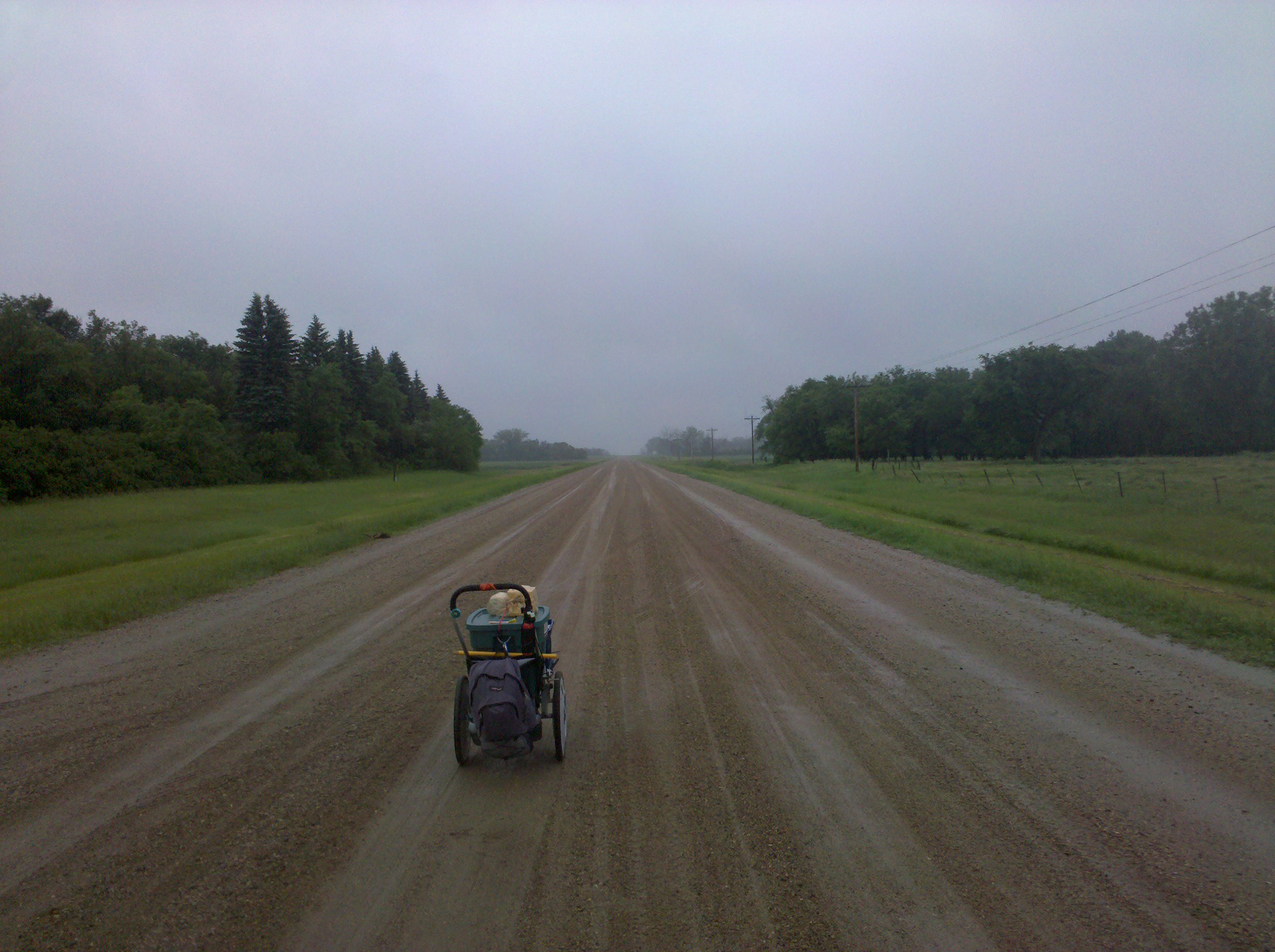
This road was not on my route
Topographic Map of Casselton, ND, USA
Find elevation by address:

Places in Casselton, ND, USA:
Places near Casselton, ND, USA:
32nd St SE, Wheatland, ND, USA
th Ave SE, Wheatland, ND, USA
Casselton
Casselton
907 Governor's Dr
Amenia
15705 36th St Se
3766 156th Ave Se
3766 156th Ave Se
Everest
4159 154th Ave Se
Harmony
Mapleton, ND, USA
Durbin
Empire
Cass County
Mapleton
500 Knutson St
Addison
14578 26th St Se
Recent Searches:
- Elevation of Corso Fratelli Cairoli, 35, Macerata MC, Italy
- Elevation of Tallevast Rd, Sarasota, FL, USA
- Elevation of 4th St E, Sonoma, CA, USA
- Elevation of Black Hollow Rd, Pennsdale, PA, USA
- Elevation of Oakland Ave, Williamsport, PA, USA
- Elevation of Pedrógão Grande, Portugal
- Elevation of Klee Dr, Martinsburg, WV, USA
- Elevation of Via Roma, Pieranica CR, Italy
- Elevation of Tavkvetili Mountain, Georgia
- Elevation of Hartfords Bluff Cir, Mt Pleasant, SC, USA