Elevation of Cash, AR, USA
Location: United States > Arkansas > Craighead County > Texas Township >
Longitude: -90.936508
Latitude: 35.7942424
Elevation: 76m / 249feet
Barometric Pressure: 100KPa
Elevation Map:
Satellite Map:
Related Photos:
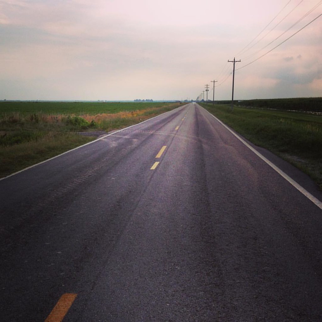
It is this - a journey. Love is the road.

Besökare Samtidigt

The Farm

My silly boys, post-Christmas pageant.
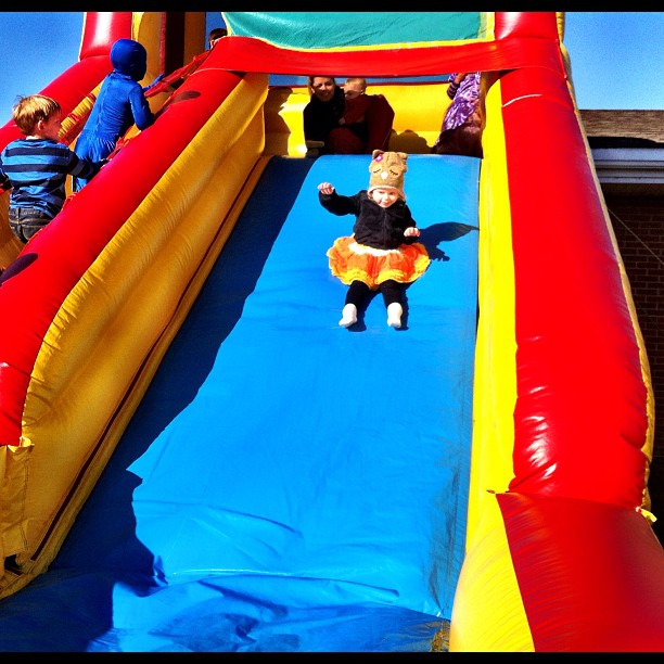
Halloween princess on an inflatable slide

Iris: experimenting with white balance...

-1822115282574230432
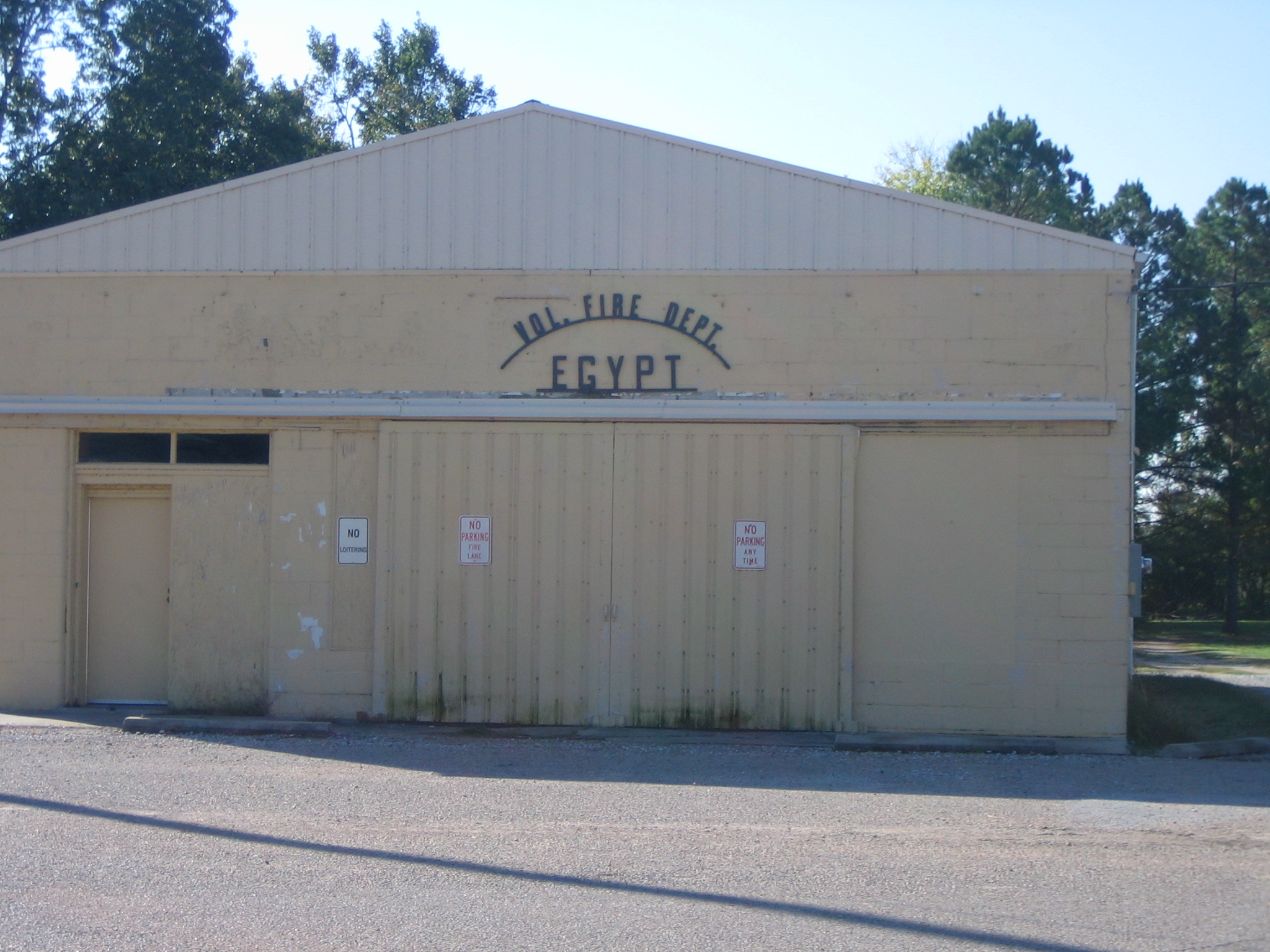
Volunteer Fire Dept. of Egypt, AR

The man in the red shirt...

Arkansas got a fabulous sunset today...

Roddick vs Wawrinka
Topographic Map of Cash, AR, USA
Find elevation by address:

Places in Cash, AR, USA:
Places near Cash, AR, USA:
Texas Township
AR-18, Cash, AR, USA
Little Texas Township
AR-18, Cash, AR, USA
US 49, Jonesboro, AR, USA
AR-, Jonesboro, AR, USA
Gilkerson Township
County Road 133
6070 Beaver Dam Ln
Jonesboro, AR, USA
207 Harry Dr
Casey Springs Road
2601 Neely Rd
US 49, Jonesboro, AR, USA
Valley View Junior High School
1207 Chimney Chase Dr
1938 Paula Dr
Jonesboro Township
Jonesboro Township
Jonesboro Township
Recent Searches:
- Elevation of Corso Fratelli Cairoli, 35, Macerata MC, Italy
- Elevation of Tallevast Rd, Sarasota, FL, USA
- Elevation of 4th St E, Sonoma, CA, USA
- Elevation of Black Hollow Rd, Pennsdale, PA, USA
- Elevation of Oakland Ave, Williamsport, PA, USA
- Elevation of Pedrógão Grande, Portugal
- Elevation of Klee Dr, Martinsburg, WV, USA
- Elevation of Via Roma, Pieranica CR, Italy
- Elevation of Tavkvetili Mountain, Georgia
- Elevation of Hartfords Bluff Cir, Mt Pleasant, SC, USA