Elevation of Carson Rd, Placerville, CA, USA
Location: United States > California > El Dorado County > Placerville >
Longitude: -120.78449
Latitude: 38.7345674
Elevation: 607m / 1991feet
Barometric Pressure: 94KPa
Elevation Map:
Satellite Map:
Related Photos:

Robinson's Pharmacy

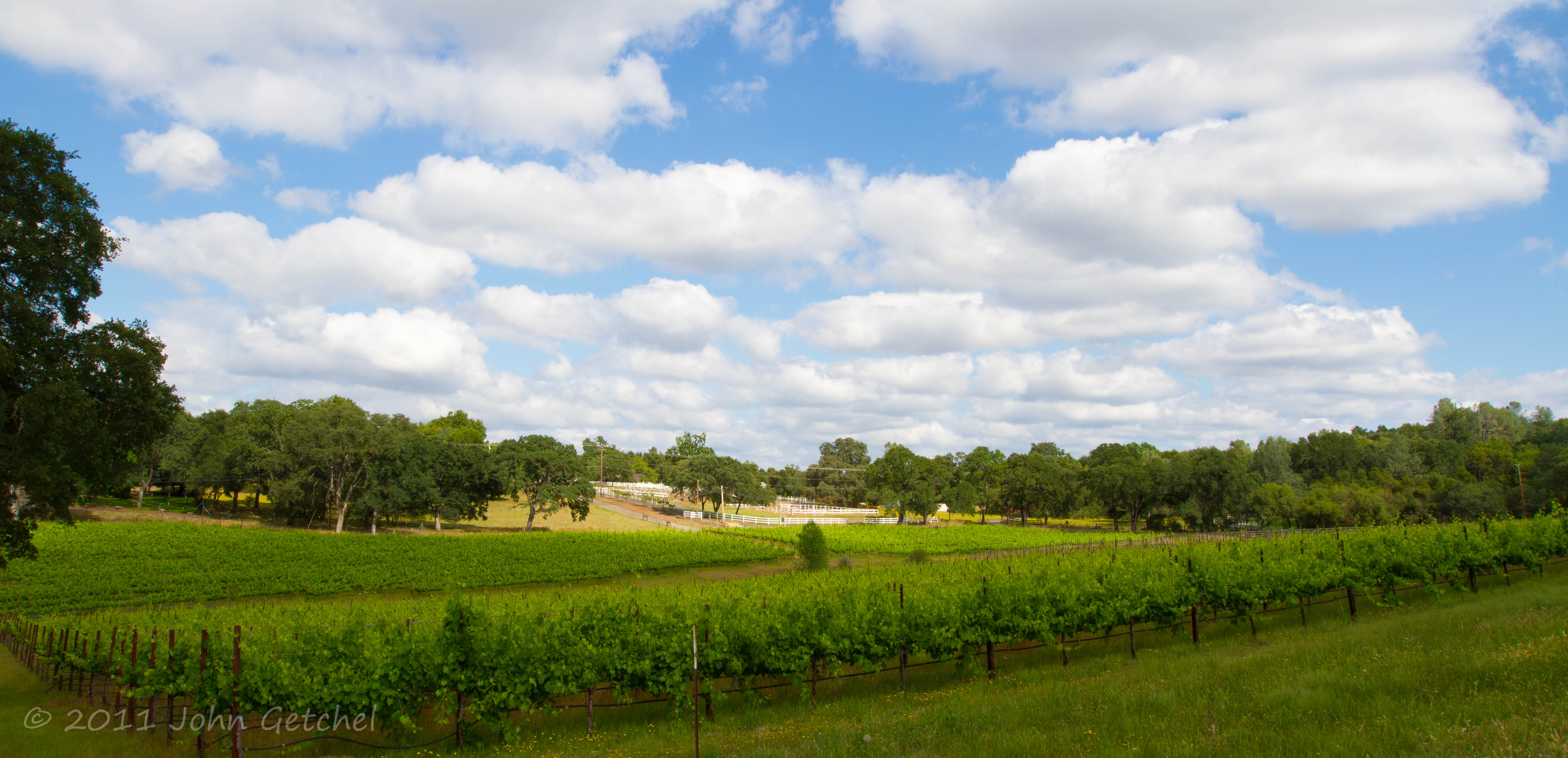
Sunset Vineyard

Boeger Winery sunset view

Apple Hill in the Rear View Mirror

Oct-11-Apple Hill-4ps

River View
The view at Lava Cap Winery
Thunderclouds Over the Crest
snowy view

Road to the Clouds

Dark Thunderclouds
US-50 East - Exit 49

Diamond Springs Hills

Early Morning

RV Camping..

Day 945: ElDorado_9950d

Morning Services

Outside the barn

Mom's Dirty Car
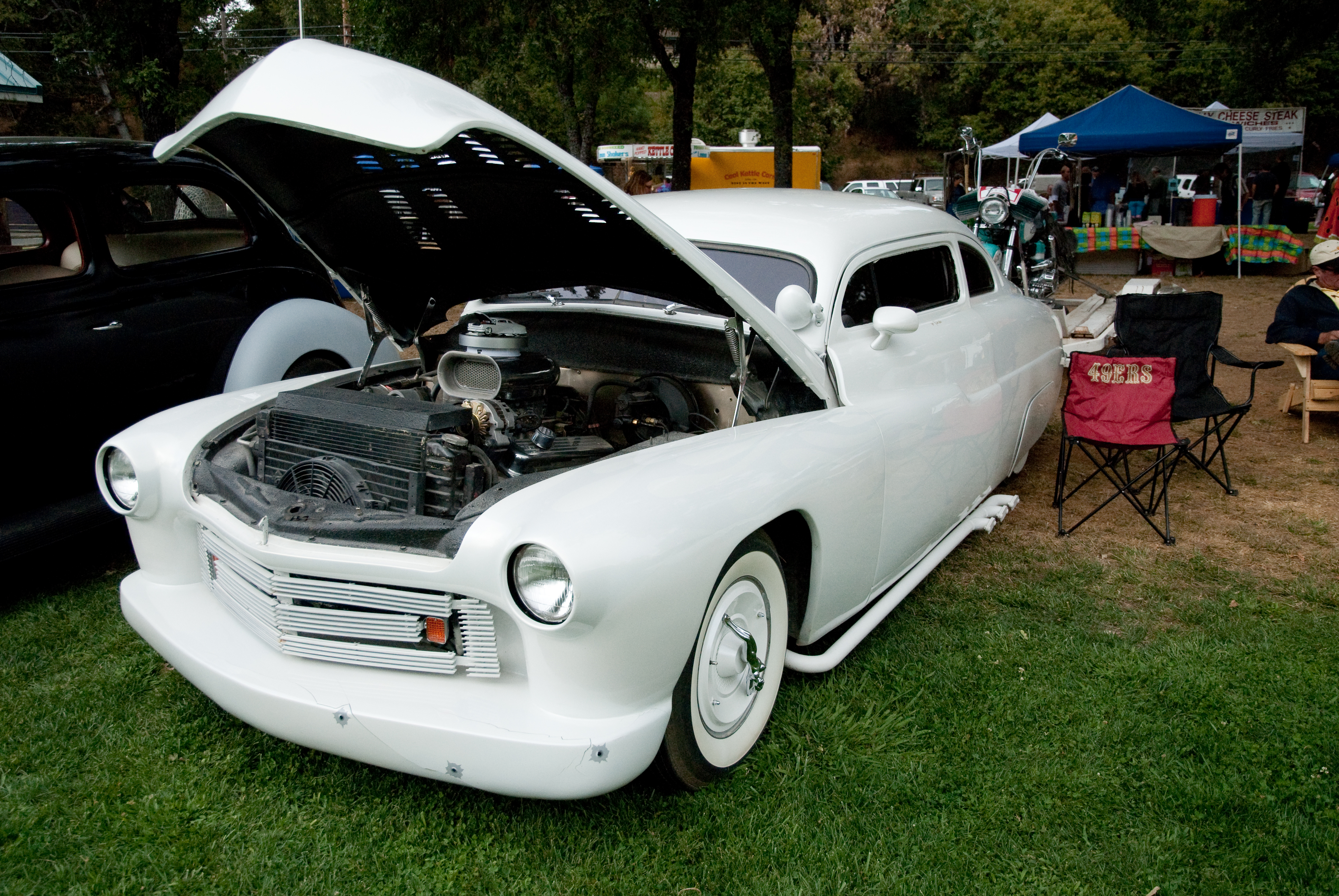
GVCarShow-6

Bending the eye bolt

Apple Hill

Calm Waters

Stormy Sunset in Pleasant Valley

Hell in our backyard

North Fork Flow

Camp Creek Bridge

land of milk and honey

These trees survived the season

Boeger Winery in the Fall

Marshall Gold Discovery State Historic Park

Sunset Vineyard

Iowa Creek

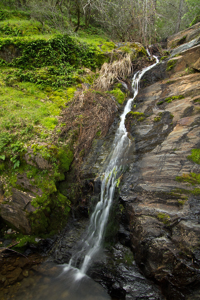
Dutch Creek Waterfall

Sweet Peas and the Coming of Summer

Fall vineyard sunset

South Fork of the American River at Sutter's Fort, Coloma, California

Rock Creek, El Dorado Co
Springtime at Cielo
Rock Creek, El Dorado Co
Topographic Map of Carson Rd, Placerville, CA, USA
Find elevation by address:

Places near Carson Rd, Placerville, CA, USA:
1321 Village Ln
Mosquito Road
Hazzard Street
9801 Mosquito Rd
Elm Avenue
1100 Marshall Way
1709 Carson Rd
2405 Morrene Dr
3178 Cedar Ravine Rd
3300 Tranquil Crk
Placerville
1508 Jeffrey Ln
Main Street
Carson Road
Carson Road
3260 Clark St
2084 Hideaway Ranch Rd
Placerville Post Office
2813 Manor Dr
3490 Parleys Canyon
Recent Searches:
- Elevation of Corso Fratelli Cairoli, 35, Macerata MC, Italy
- Elevation of Tallevast Rd, Sarasota, FL, USA
- Elevation of 4th St E, Sonoma, CA, USA
- Elevation of Black Hollow Rd, Pennsdale, PA, USA
- Elevation of Oakland Ave, Williamsport, PA, USA
- Elevation of Pedrógão Grande, Portugal
- Elevation of Klee Dr, Martinsburg, WV, USA
- Elevation of Via Roma, Pieranica CR, Italy
- Elevation of Tavkvetili Mountain, Georgia
- Elevation of Hartfords Bluff Cir, Mt Pleasant, SC, USA