Elevation of Carrizo Peak, New Mexico, USA
Location: United States > New Mexico > Carrizozo >
Longitude: -105.72859
Latitude: 33.6906304
Elevation: 2881m / 9452feet
Barometric Pressure: 71KPa
Elevation Map:
Satellite Map:
Related Photos:
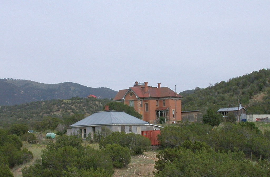
White Oaks, NM 3258a
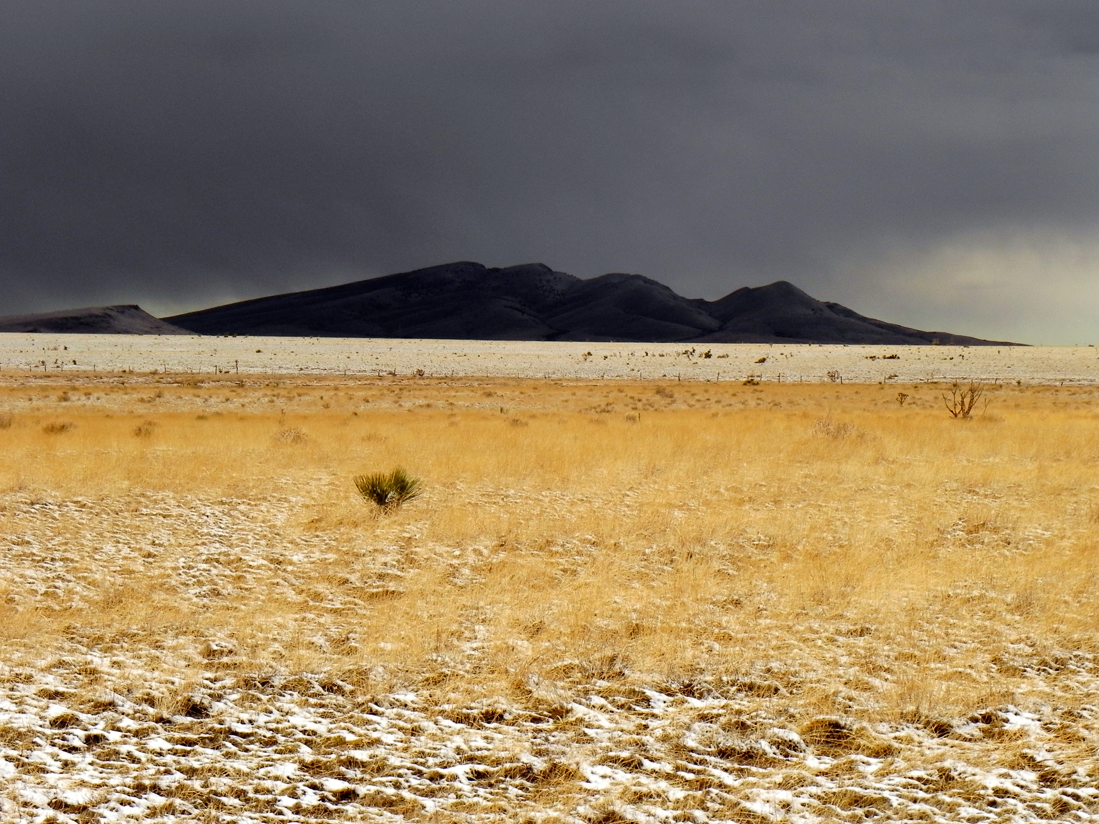
Cub Mountain
Topographic Map of Carrizo Peak, New Mexico, USA
Find elevation by address:

Places near Carrizo Peak, New Mexico, USA:
Baxter Mountain
Goat Mountain
Vera Cruz Mountain
Patos Mountain
Tucson Mountain
East Carrizo Cone
Nogal
Dry Gulch Road
Church Mountain
Read Mesa
187 Nogal Canyon Rd
Carrizozo
New Mexico 37
155 Sunset Mesa
156 Sunset Mesa
Cherry Creek Road
123 Cherry Creek Rd
203 Antelope Trail
108 Sulkey
108 Sulkey
Recent Searches:
- Elevation of Corso Fratelli Cairoli, 35, Macerata MC, Italy
- Elevation of Tallevast Rd, Sarasota, FL, USA
- Elevation of 4th St E, Sonoma, CA, USA
- Elevation of Black Hollow Rd, Pennsdale, PA, USA
- Elevation of Oakland Ave, Williamsport, PA, USA
- Elevation of Pedrógão Grande, Portugal
- Elevation of Klee Dr, Martinsburg, WV, USA
- Elevation of Via Roma, Pieranica CR, Italy
- Elevation of Tavkvetili Mountain, Georgia
- Elevation of Hartfords Bluff Cir, Mt Pleasant, SC, USA