Elevation of Carlow/Mayo, ON, Canada
Location: Canada > Ontario > Hastings County >
Longitude: -77.616378
Latitude: 45.1346915
Elevation: 351m / 1152feet
Barometric Pressure: 97KPa
Elevation Map:
Satellite Map:
Related Photos:
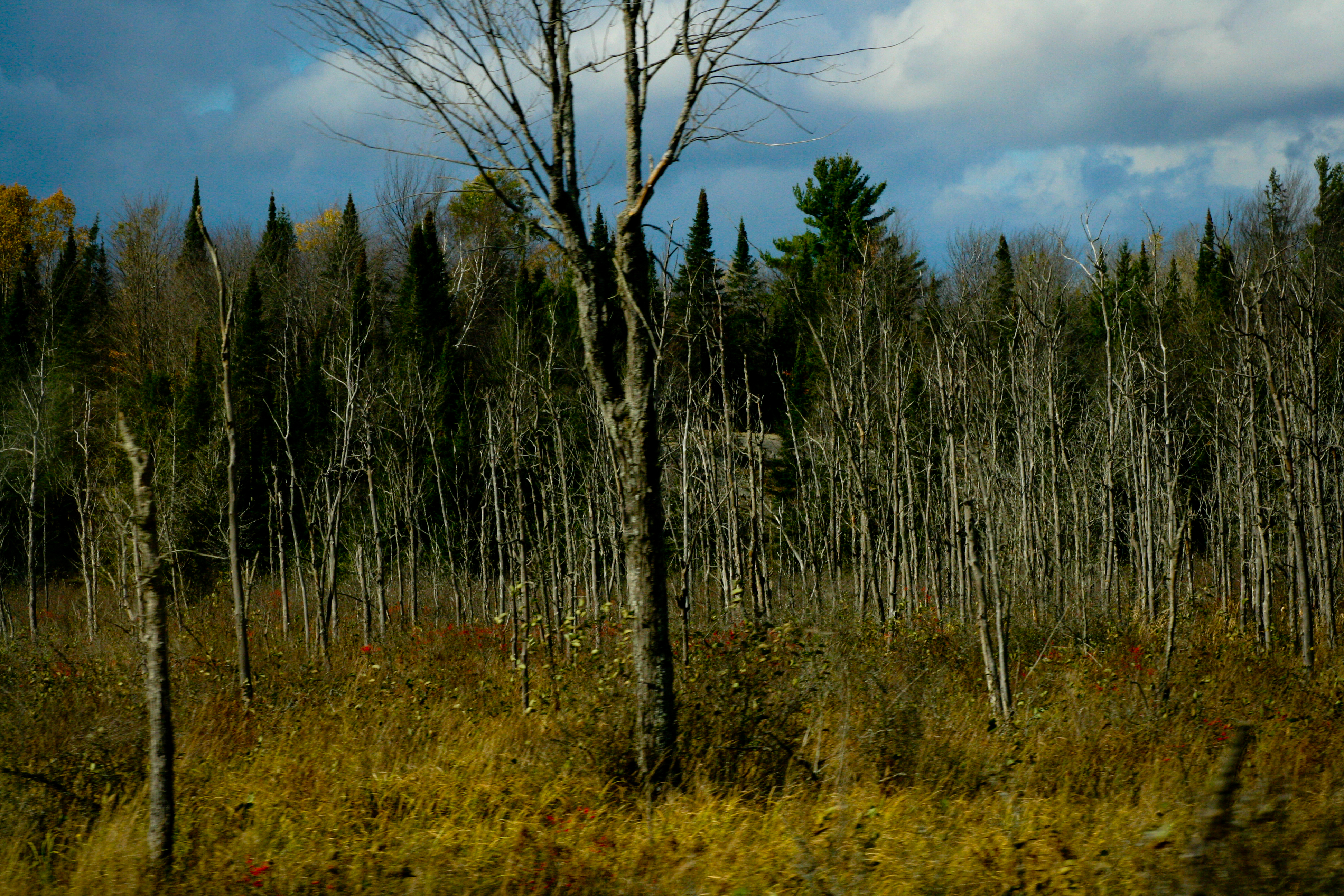
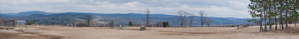
Mayo Lake 2011 - Tree Grave Yard - Oct
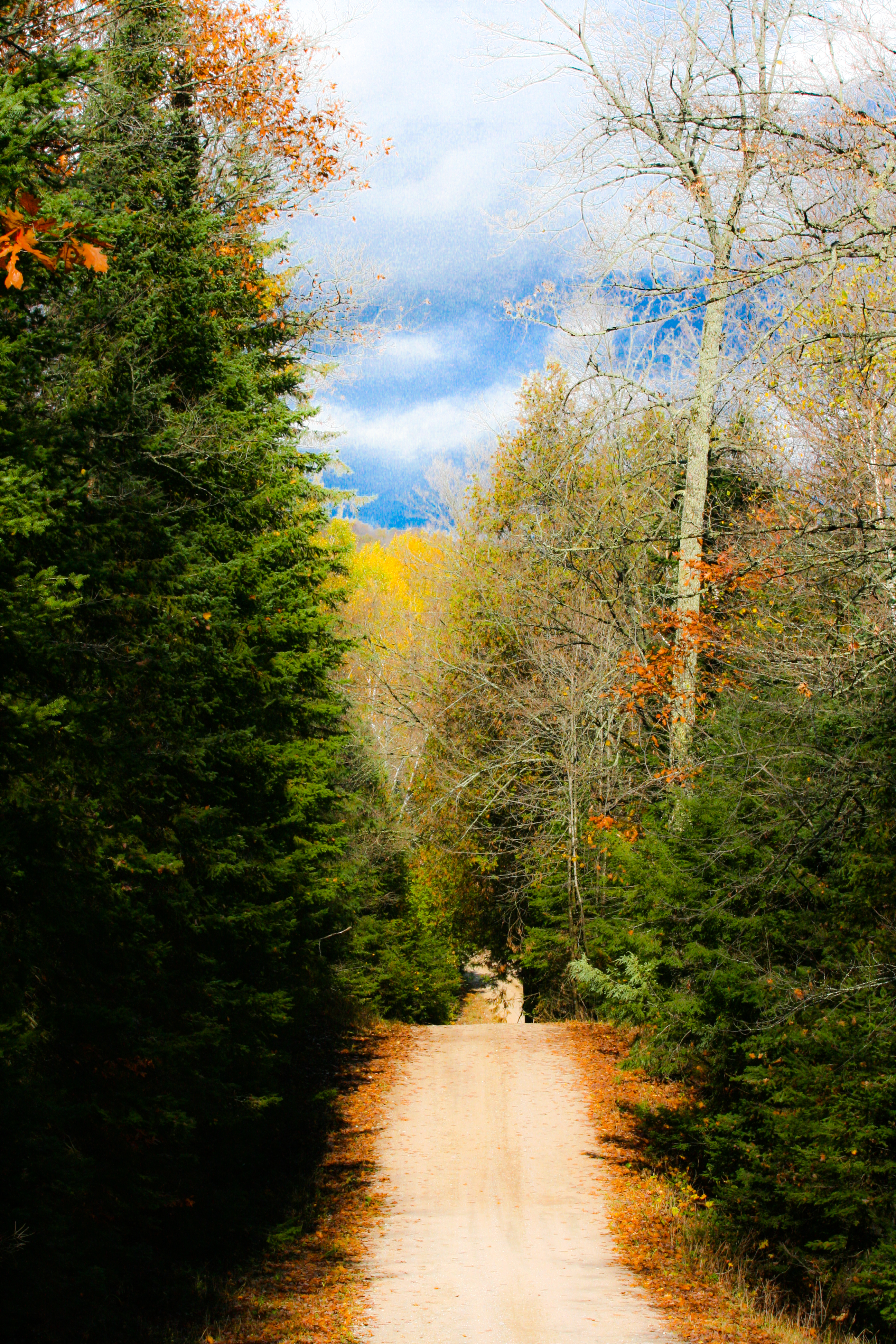
Mayo Lake 2011 - Magic path to the future

Bancroft Area Monday_0019

Mayo Lake 2011 - massive leaf

Wheel of imagination
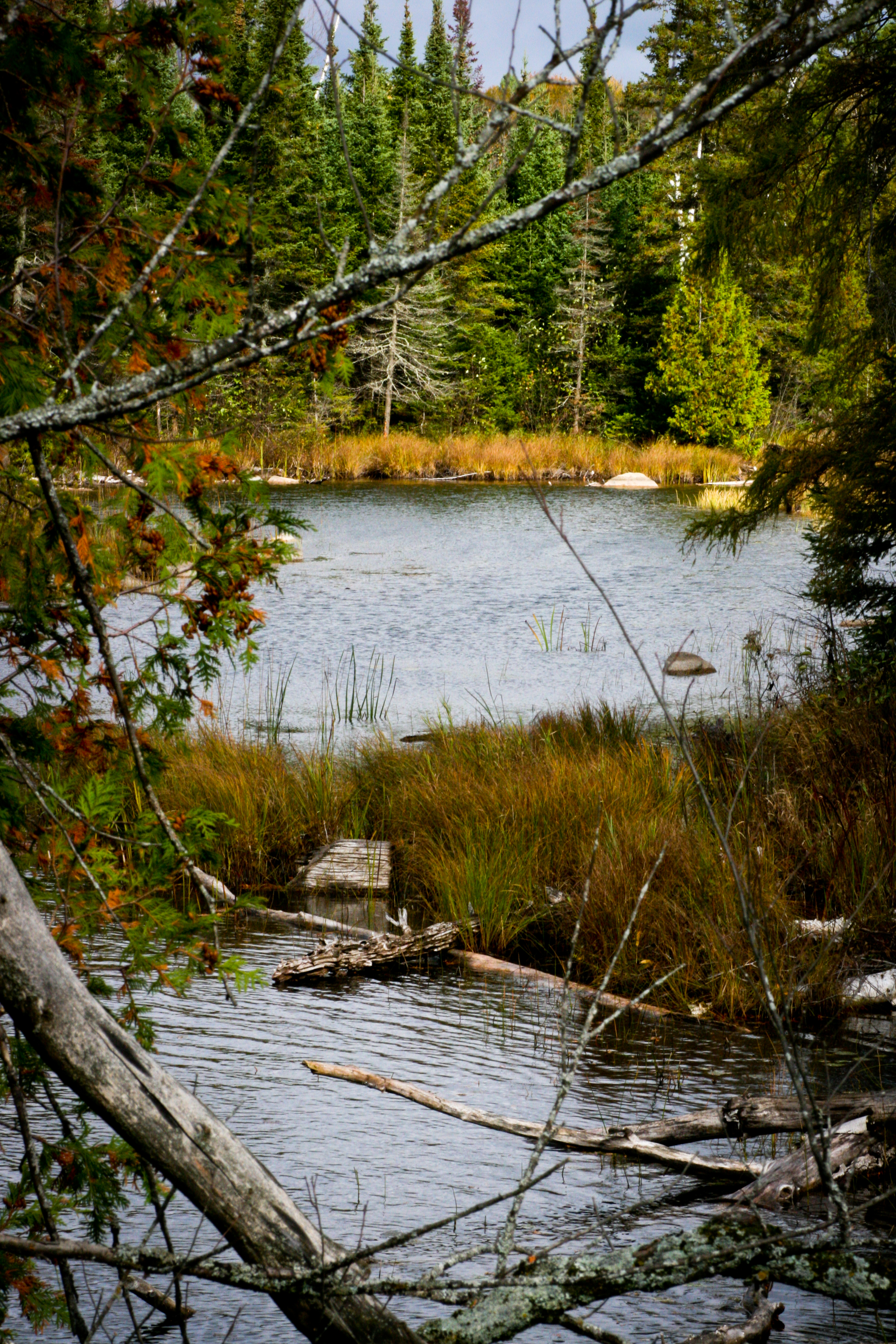
Mayo Lake 2011 - peering into the narrows
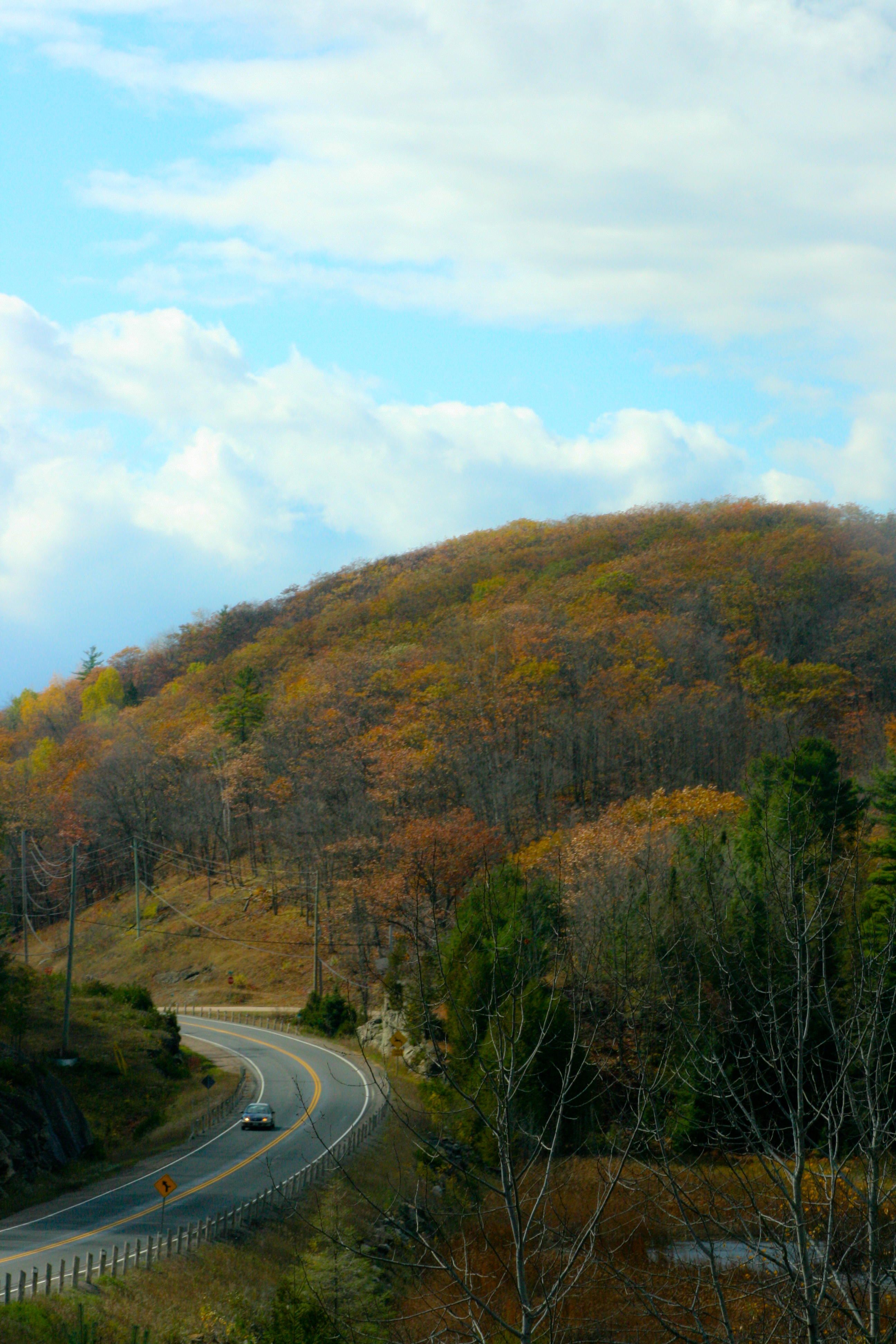
Mayo Lake 2011 - curving hills and roadways
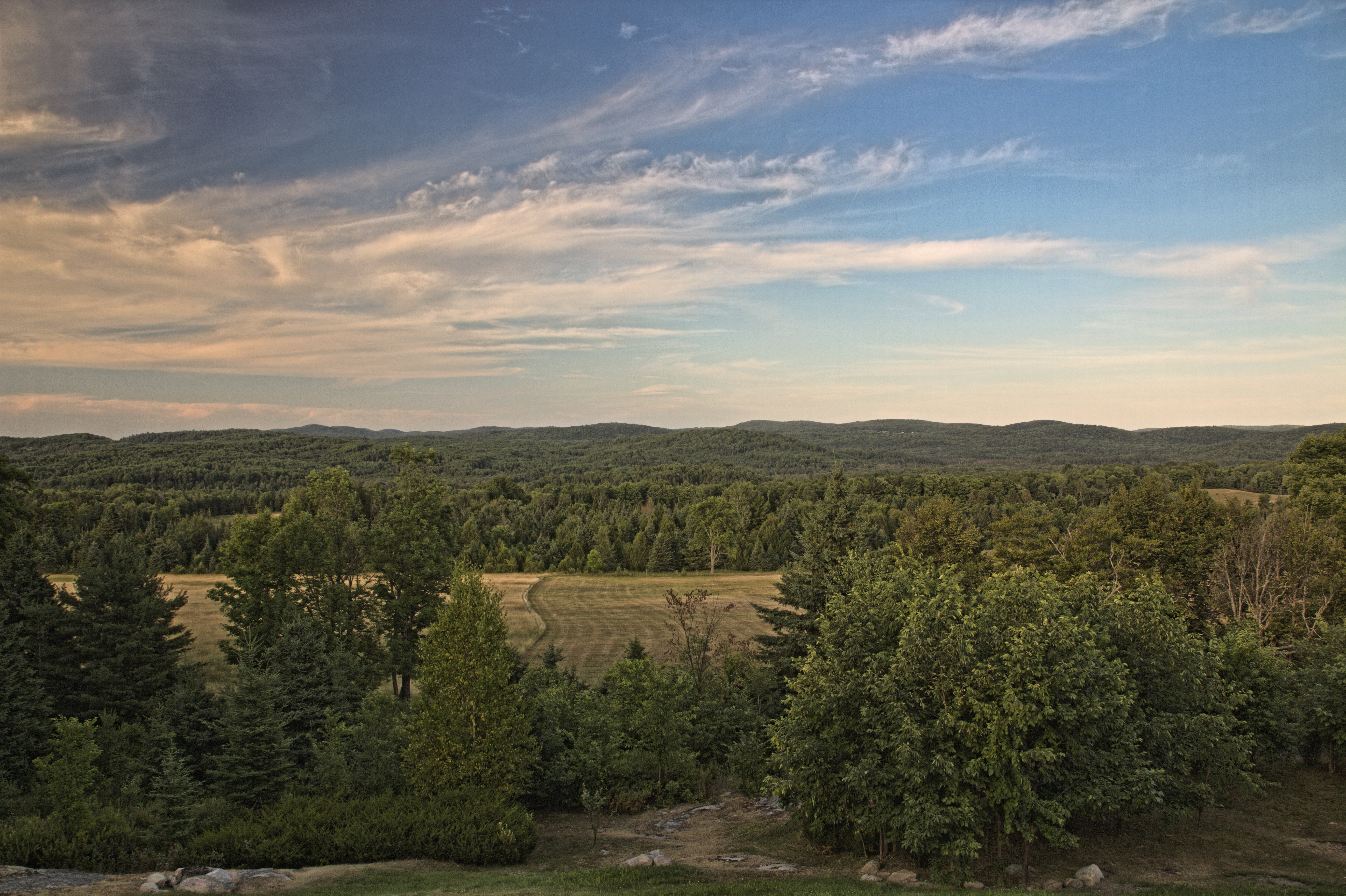
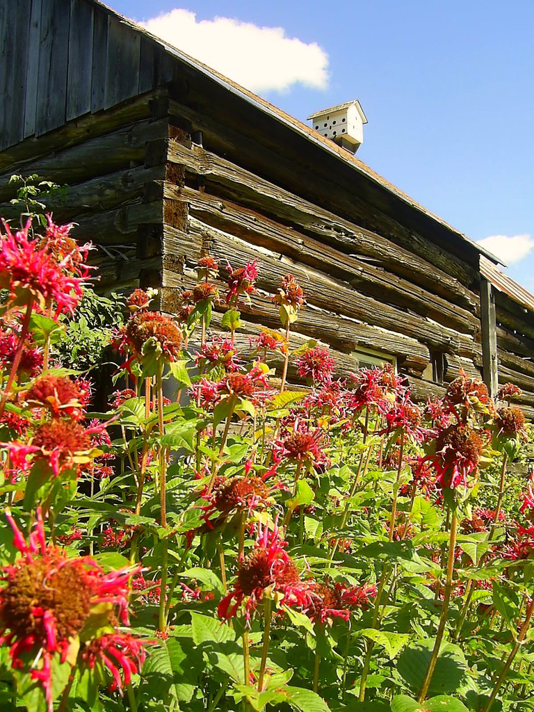
Looking East to the Western Edge of the Madawaska Highlands
Bancroft Summer
Blue skys
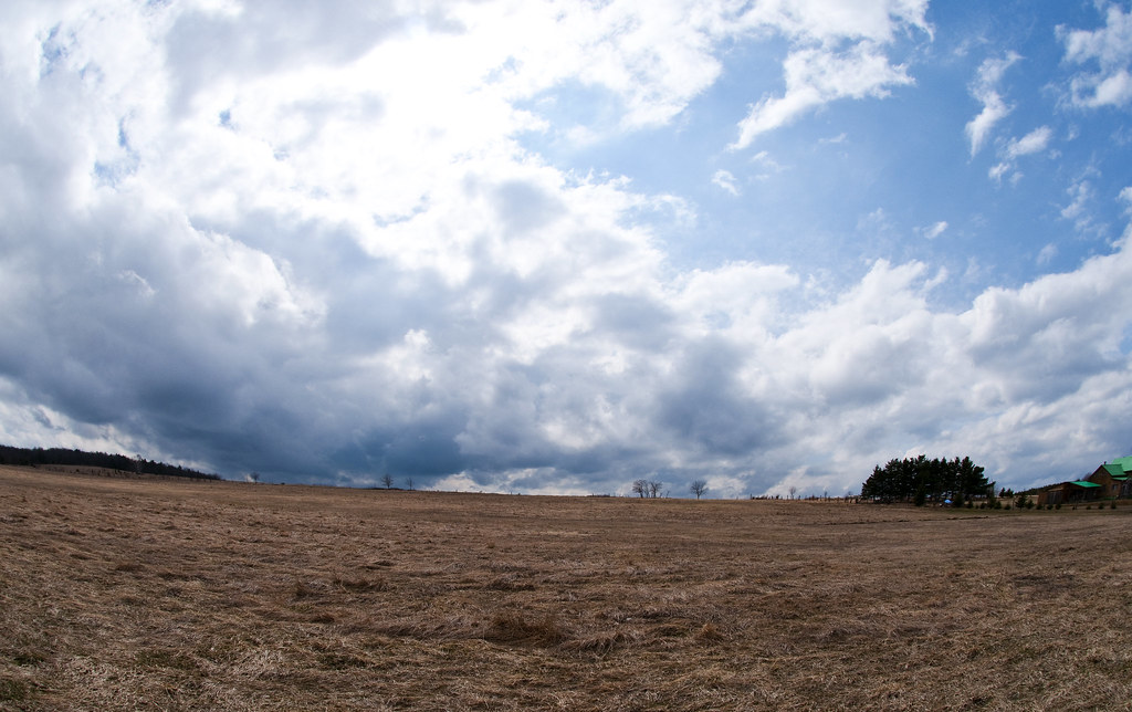
Big Sky
Summer memories
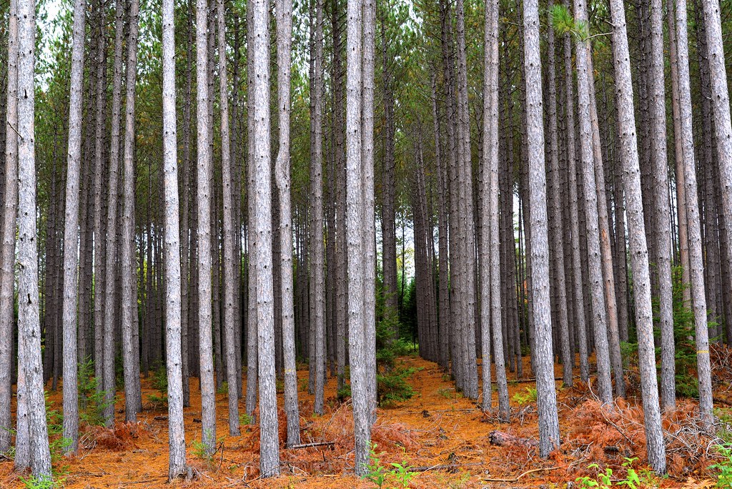
Rows of trees
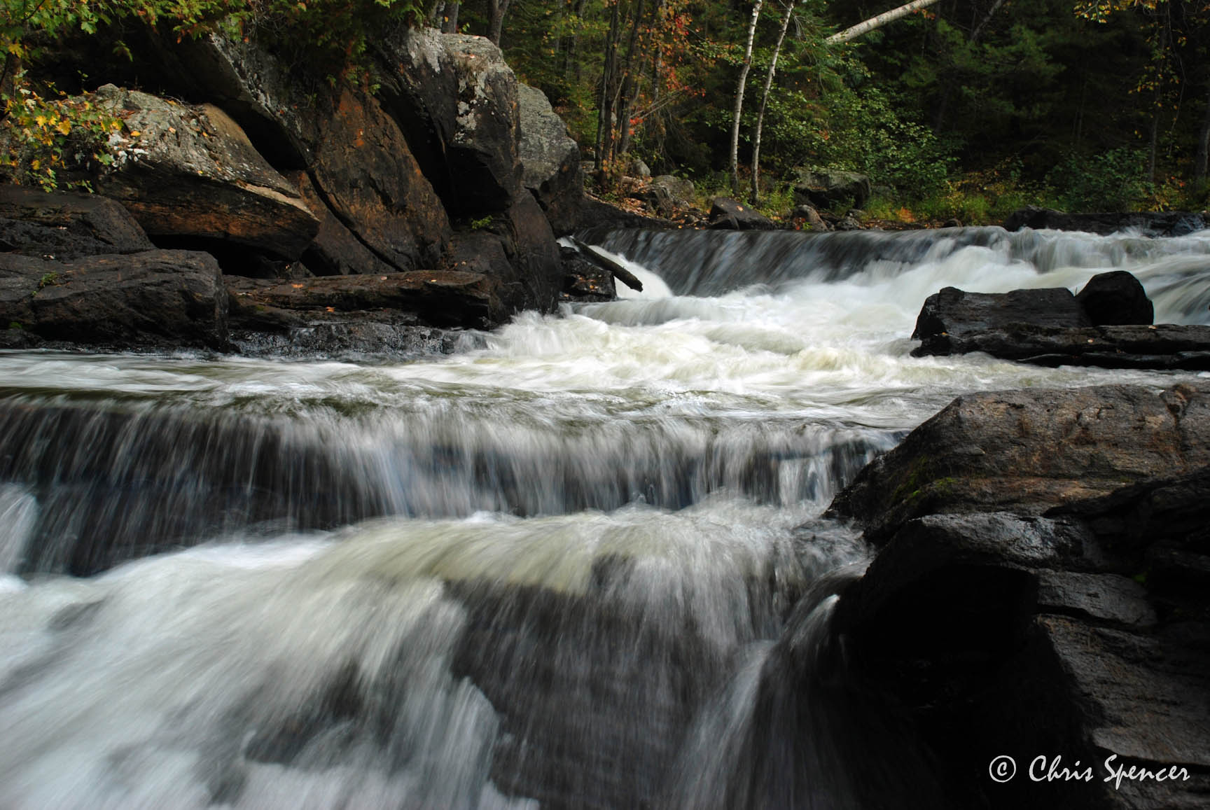
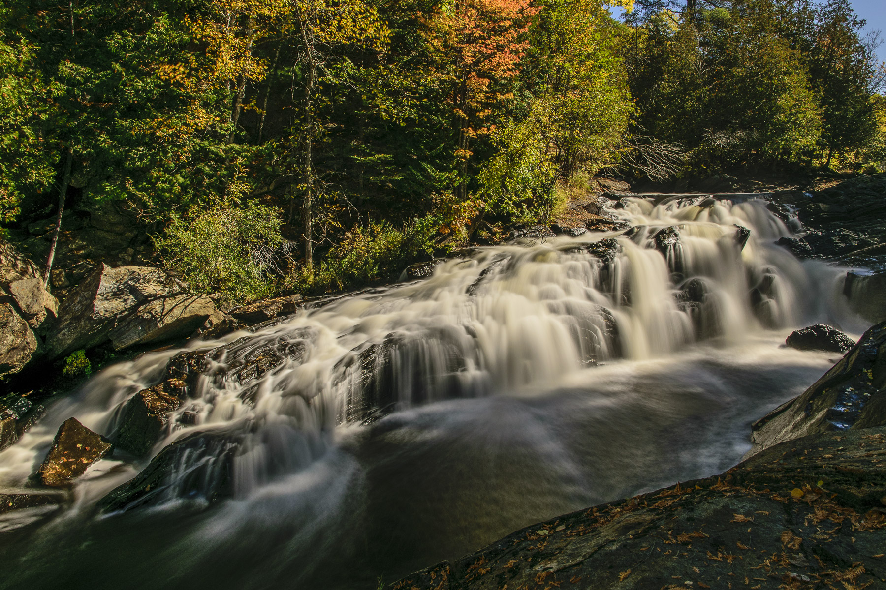
Egan Chute, Ontario
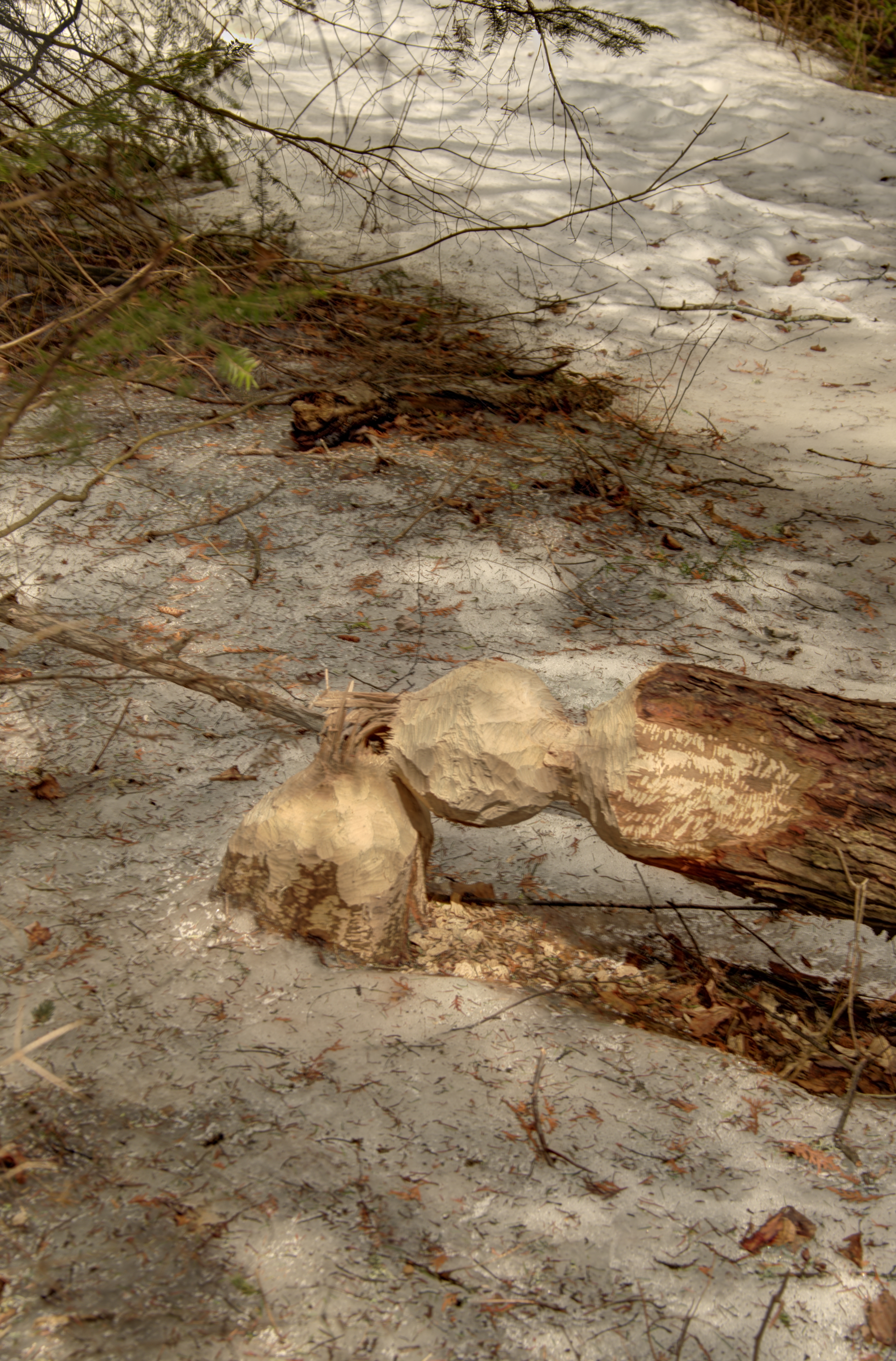
Beavers diversifying into soccer ball manufacturing.
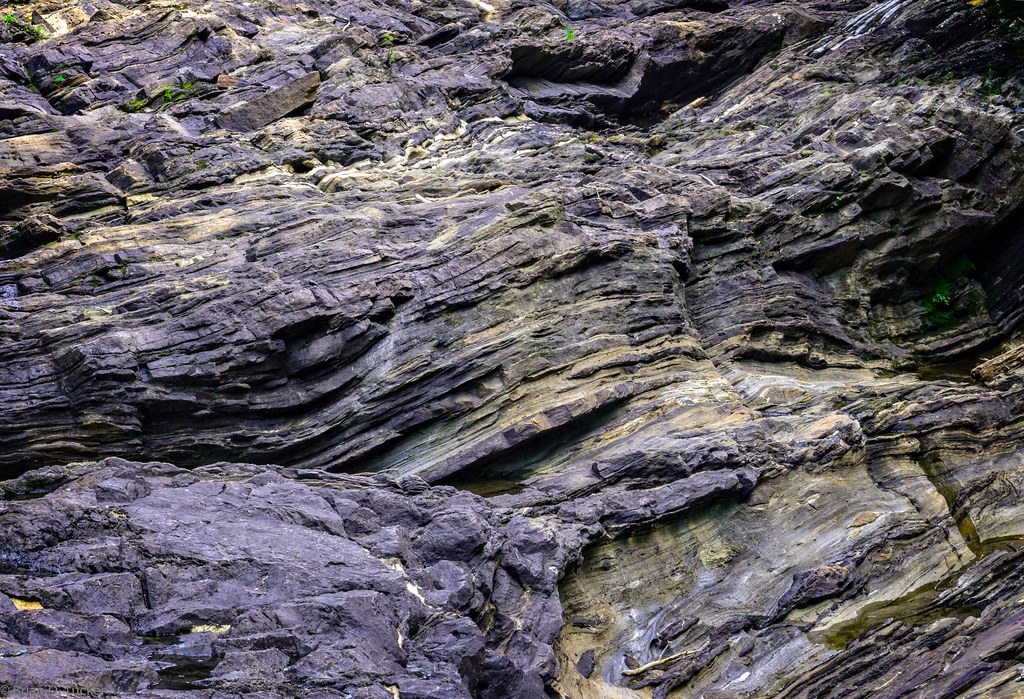
rock at egan chutes
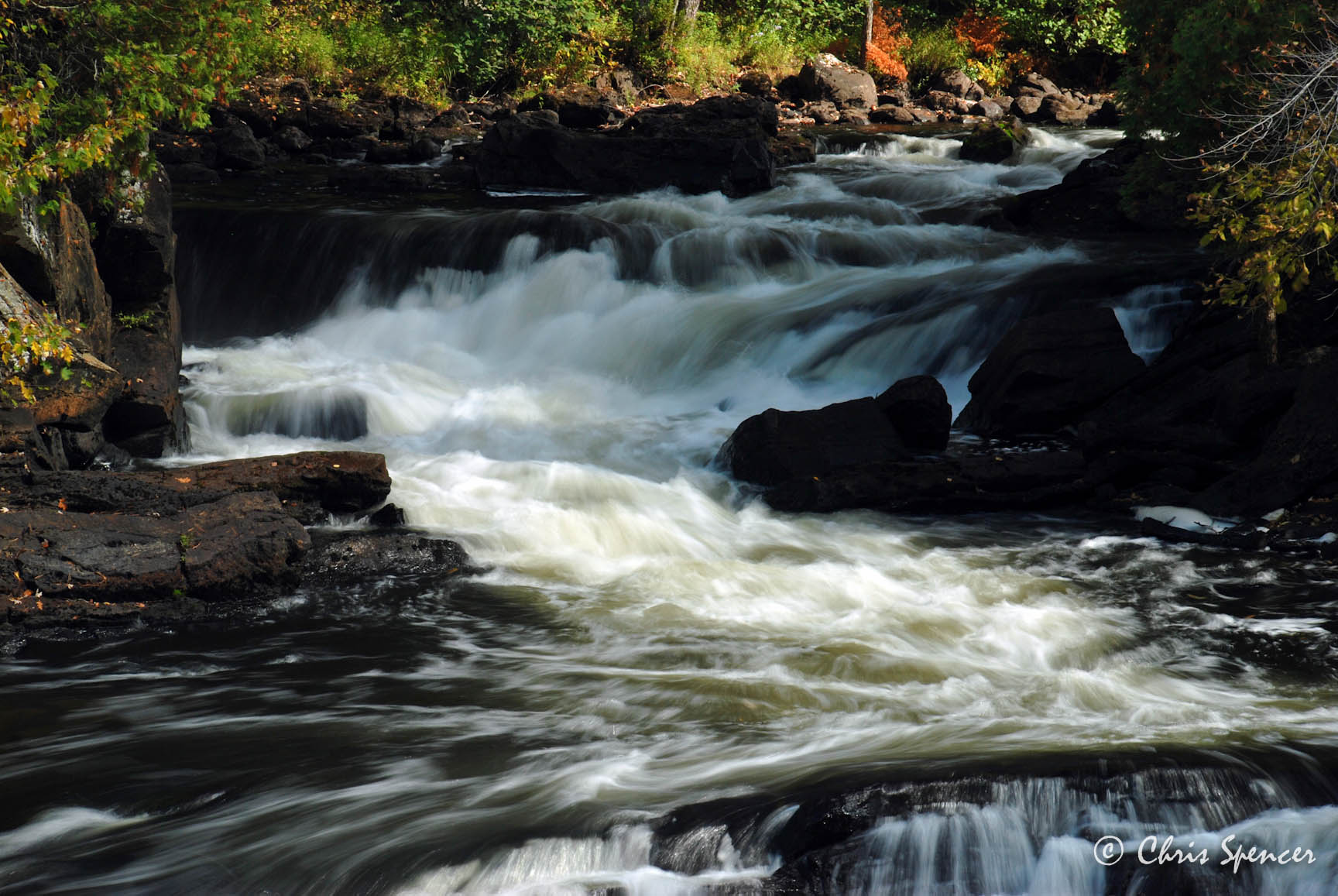
Egan Chutes -4326
Egan Chute, Ontario
Topographic Map of Carlow/Mayo, ON, Canada
Find elevation by address:

Places in Carlow/Mayo, ON, Canada:
Places near Carlow/Mayo, ON, Canada:
Hermon
Mcarthurs Mills
68 Bronson Ln
Carlow Municipal Office
Egan Chutes Provincial Park
699 Bradshaw Rd
871 Holland Lake Rd
70 Holland Lake Rd
Palmer Rapids
L'amable
1286-1646 Hillsview Rd
52 Echo Lake Rd, Combermere, ON K0J 1L0, Canada
Combermere
K0l 2r0
160 Dubblestein Rd
4489 Musclow Greenview Rd
Hillsview Road
K0l 1c0
Bancroft
150 Maxwell Settlement Rd
Recent Searches:
- Elevation of Corso Fratelli Cairoli, 35, Macerata MC, Italy
- Elevation of Tallevast Rd, Sarasota, FL, USA
- Elevation of 4th St E, Sonoma, CA, USA
- Elevation of Black Hollow Rd, Pennsdale, PA, USA
- Elevation of Oakland Ave, Williamsport, PA, USA
- Elevation of Pedrógão Grande, Portugal
- Elevation of Klee Dr, Martinsburg, WV, USA
- Elevation of Via Roma, Pieranica CR, Italy
- Elevation of Tavkvetili Mountain, Georgia
- Elevation of Hartfords Bluff Cir, Mt Pleasant, SC, USA