Elevation of Dubblestein Rd, Maple Leaf, ON K0L 2R0, Canada
Location: Canada > Ontario > Hastings County > Hastings Highlands > Maple Leaf >
Longitude: -77.793498
Latitude: 45.2950147
Elevation: 409m / 1342feet
Barometric Pressure: 97KPa
Elevation Map:
Satellite Map:
Related Photos:
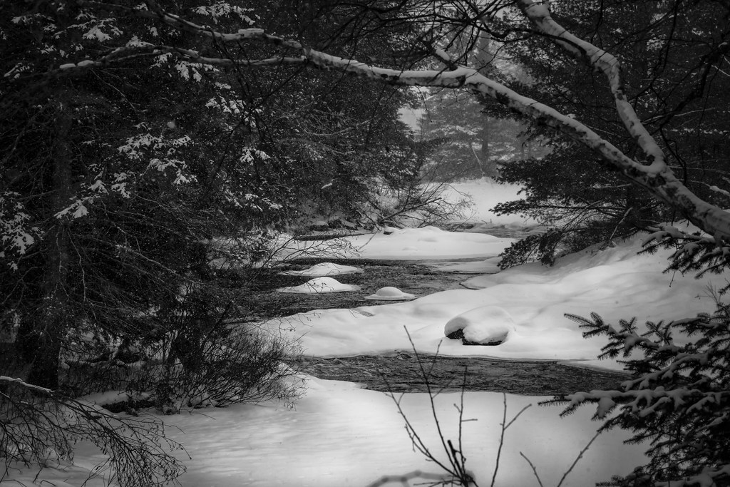
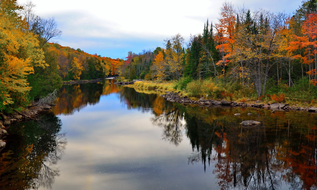
A River Flows

one time delusion

Week #32 Panorama

River.
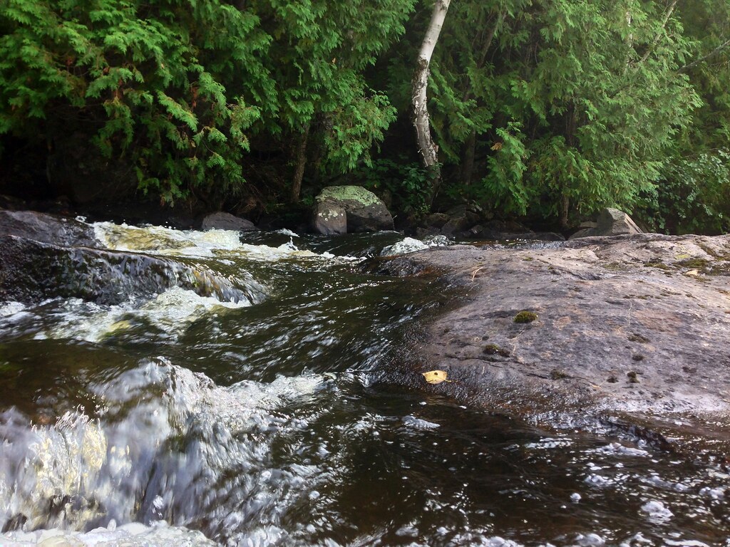
River Rapids.
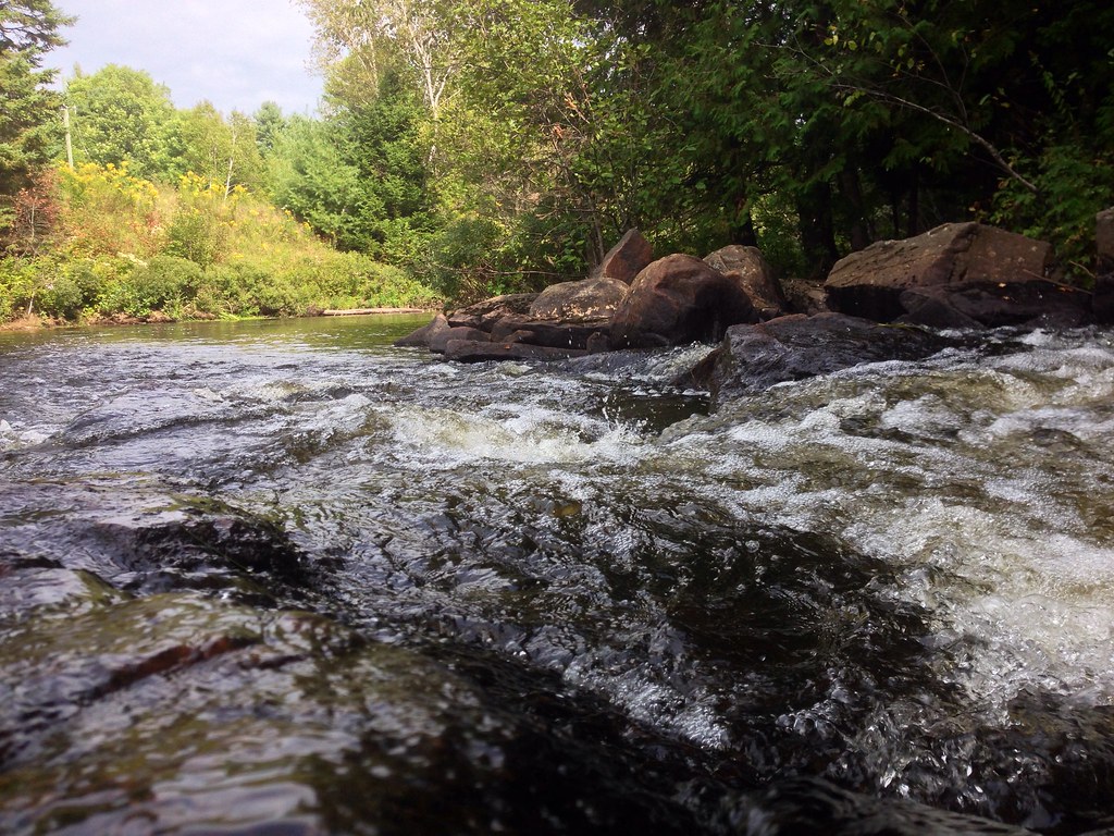
River Rapids.

River Sculpture.

Rock Moss.

River.

Stream.

Clouds, Skies, Sunsets.

ATV Trail.

Rocks.

Rocks.

Rear View Window
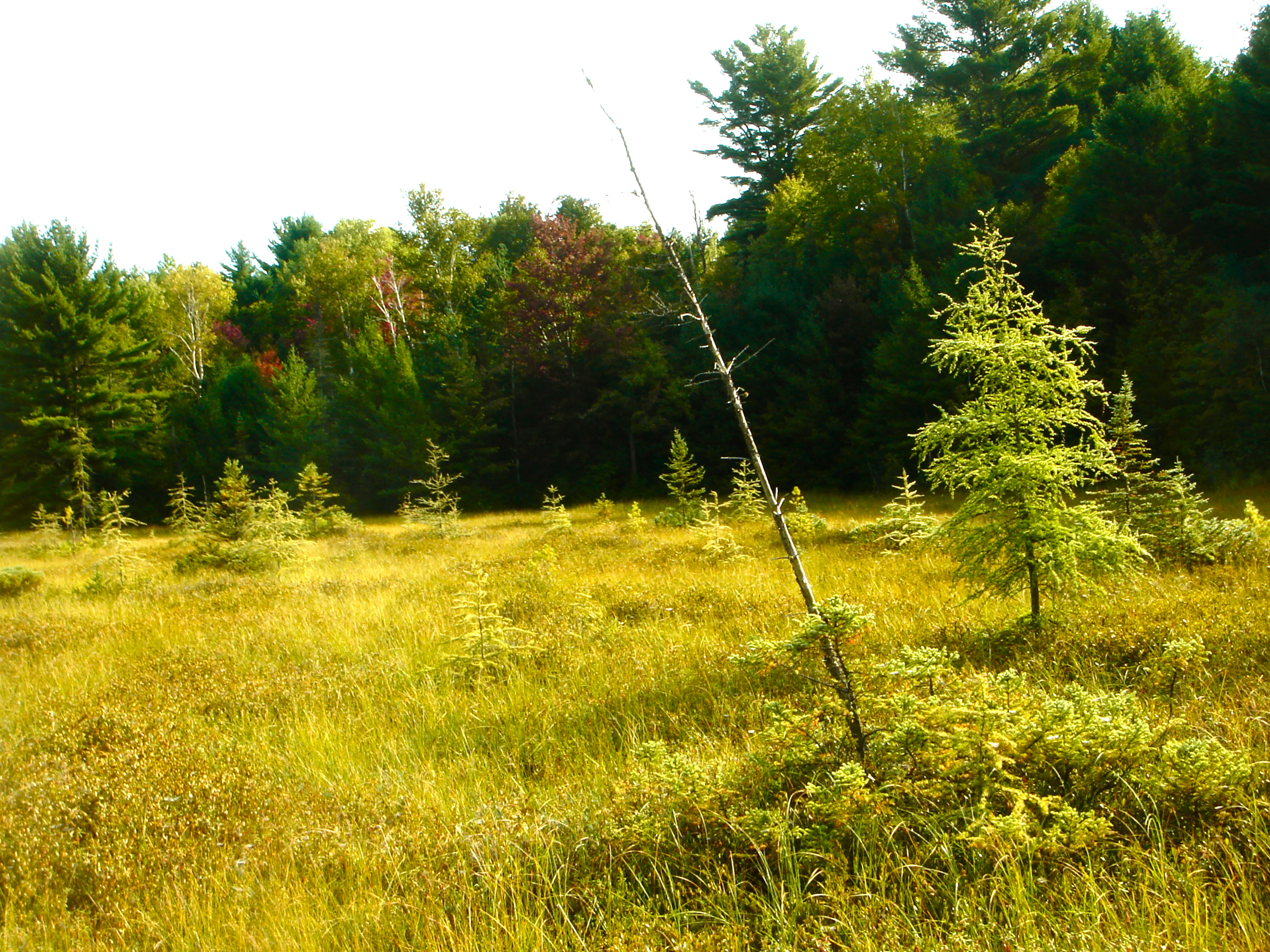
View of the Swamp

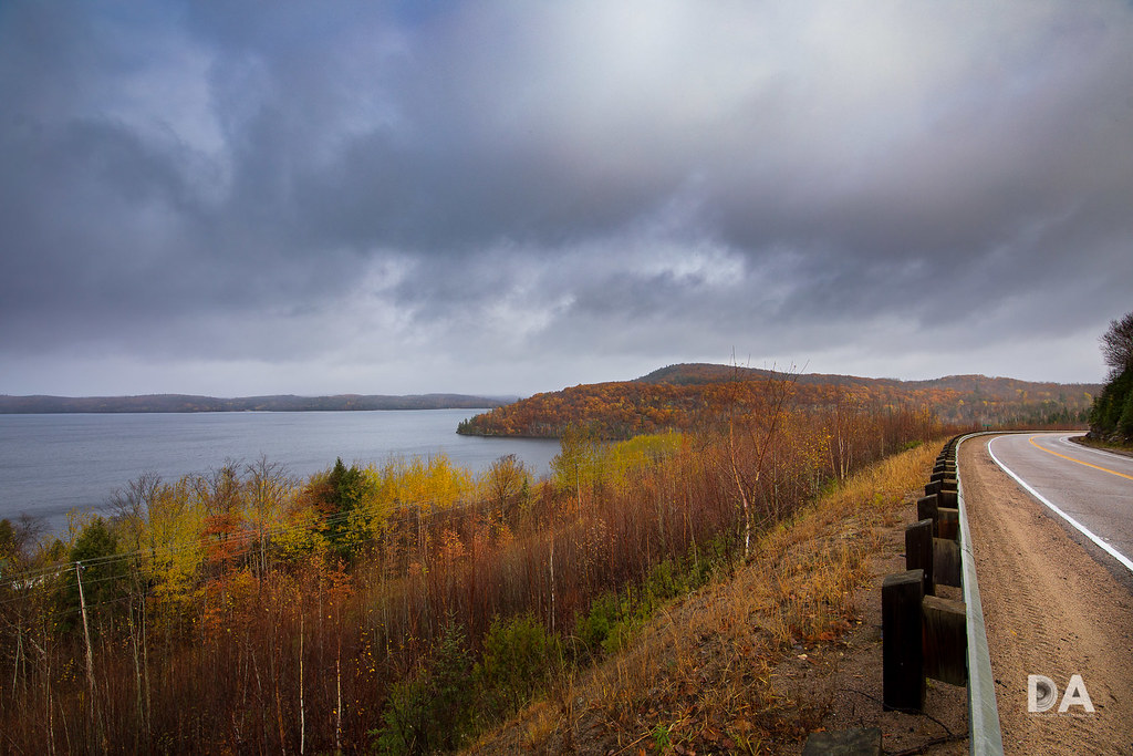
View on The Lake
Madawaska revisited

Fall time at Madawaska River

blazing Madawaska

The Velvet Hills
The Edge of Wilderness

Madawaska Valley

Taiga III

Kamaniskeg Lake
Topographic Map of Dubblestein Rd, Maple Leaf, ON K0L 2R0, Canada
Find elevation by address:

Places near Dubblestein Rd, Maple Leaf, ON K0L 2R0, Canada:
K0l 2r0
3 Childerhouse Rd
56 Harriets Point Rd, Maple Leaf, ON K0L 2R0, Canada
4489 Musclow Greenview Rd
1286-1646 Hillsview Rd
Maple Leaf
Davis Road
52 Echo Lake Rd, Combermere, ON K0J 1L0, Canada
Hillsview Road
Hastings Highlands
84 Anaf Rd
32662 On-62
Maynooth
Scott Line Road
Williams Lake Road
Cannon Lake
53 Laciak Ln
Lake Saint Peter
35 Brower Ln
Recent Searches:
- Elevation of Corso Fratelli Cairoli, 35, Macerata MC, Italy
- Elevation of Tallevast Rd, Sarasota, FL, USA
- Elevation of 4th St E, Sonoma, CA, USA
- Elevation of Black Hollow Rd, Pennsdale, PA, USA
- Elevation of Oakland Ave, Williamsport, PA, USA
- Elevation of Pedrógão Grande, Portugal
- Elevation of Klee Dr, Martinsburg, WV, USA
- Elevation of Via Roma, Pieranica CR, Italy
- Elevation of Tavkvetili Mountain, Georgia
- Elevation of Hartfords Bluff Cir, Mt Pleasant, SC, USA