Elevation of Carey, ID, USA
Location: United States > Idaho > Blaine County >
Longitude: -113.94475
Latitude: 43.3076829
Elevation: 1458m / 4783feet
Barometric Pressure: 85KPa
Elevation Map:
Satellite Map:
Related Photos:

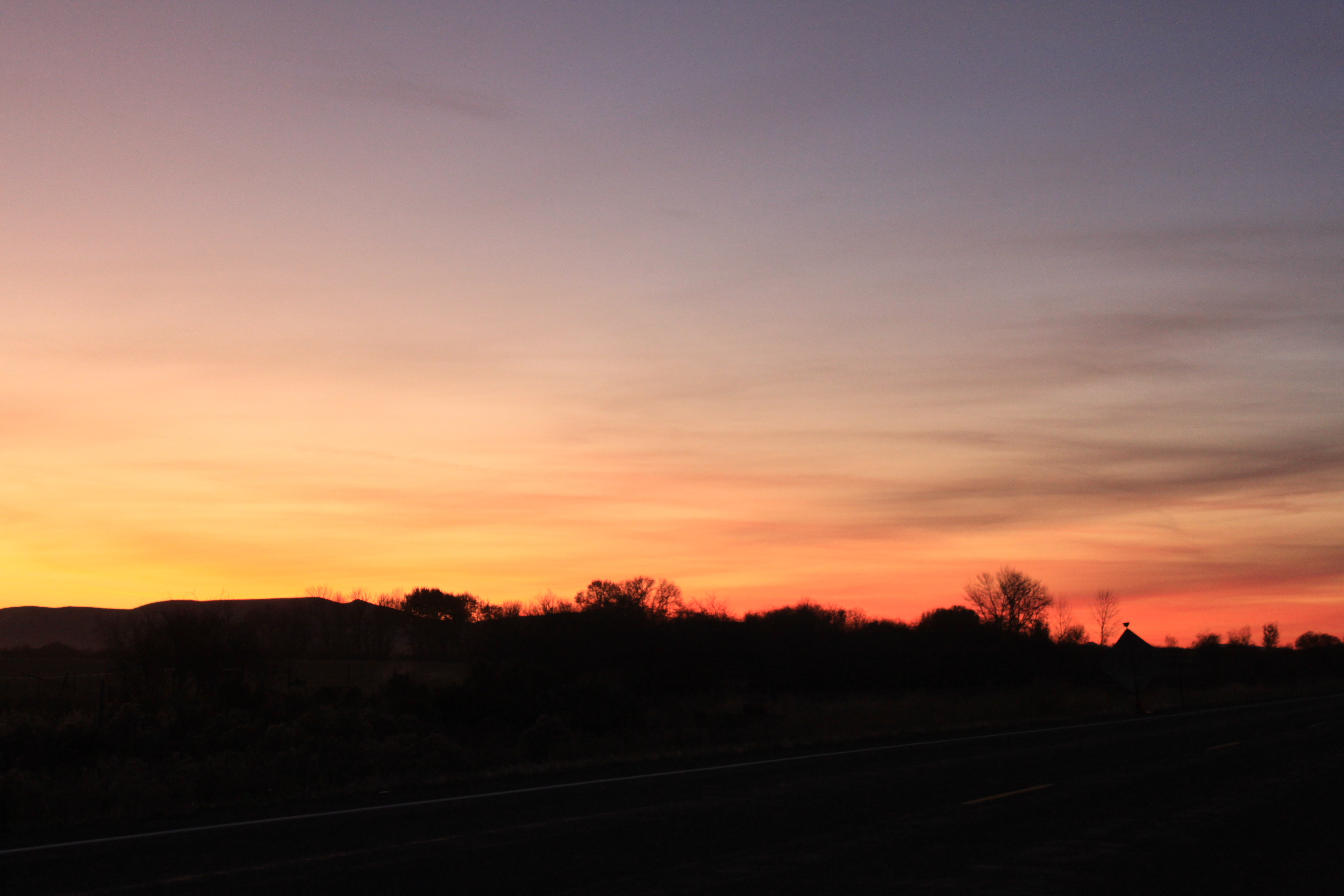
Sunset on the drive home
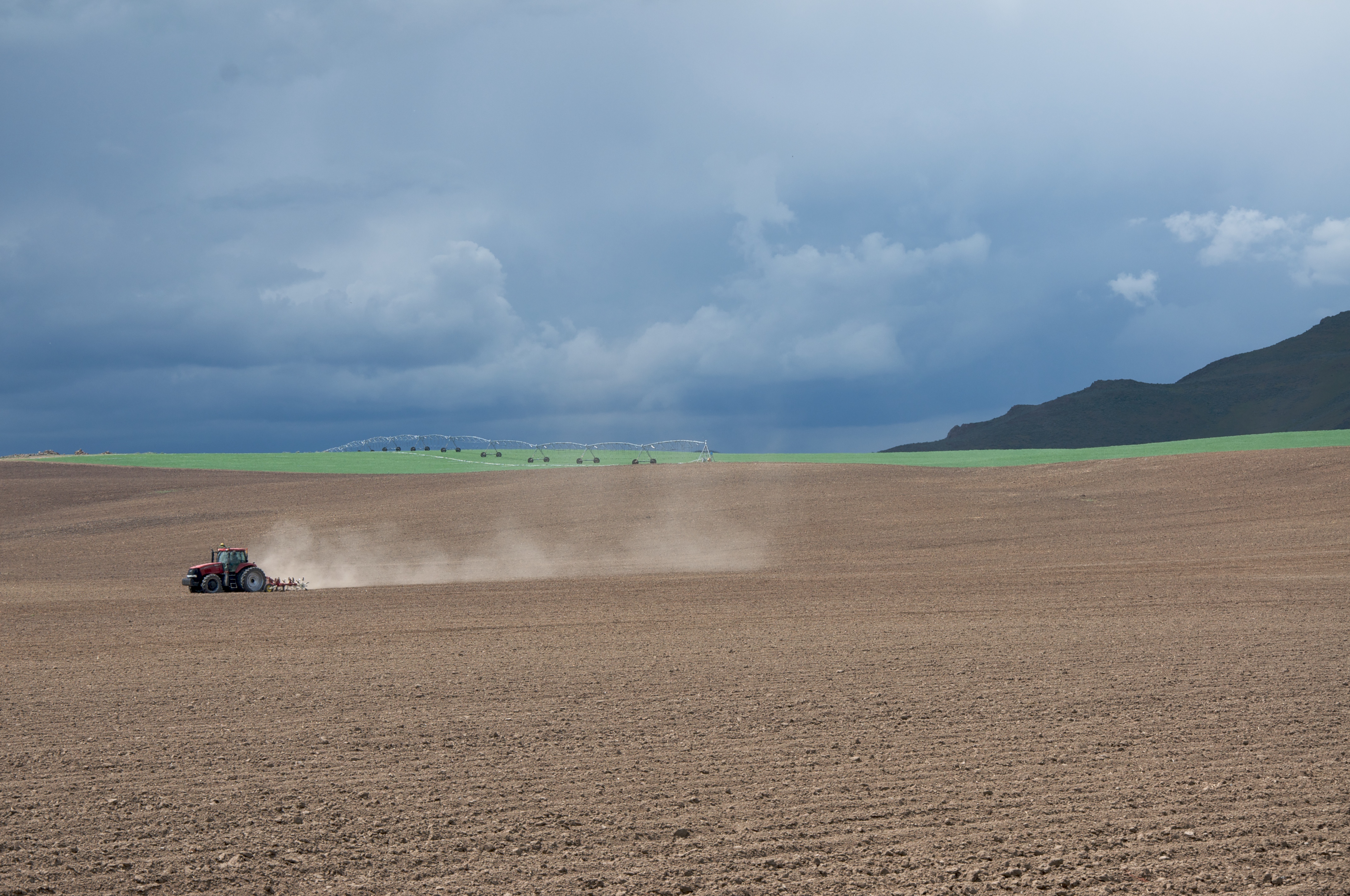
Tractor plowing fields

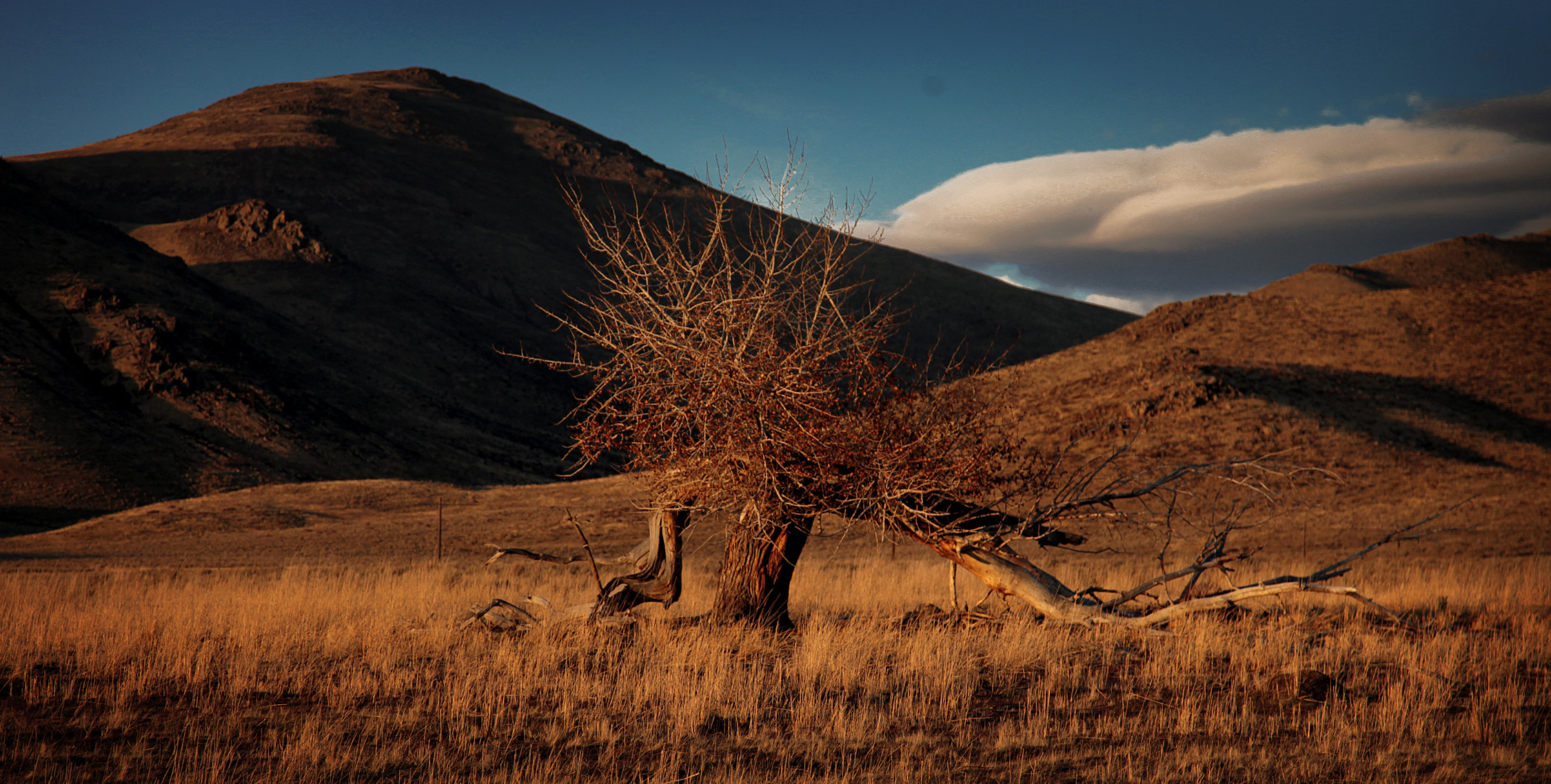
Carey sagebrush steppe

Silver Creek

Silver Creek Tubing
Picabo, Idaho
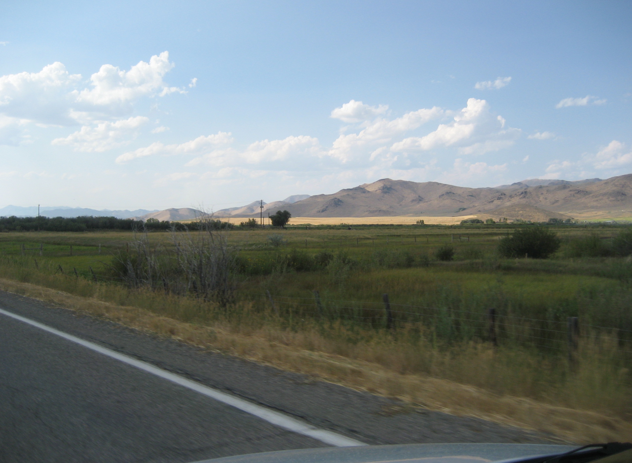
Distant Hills
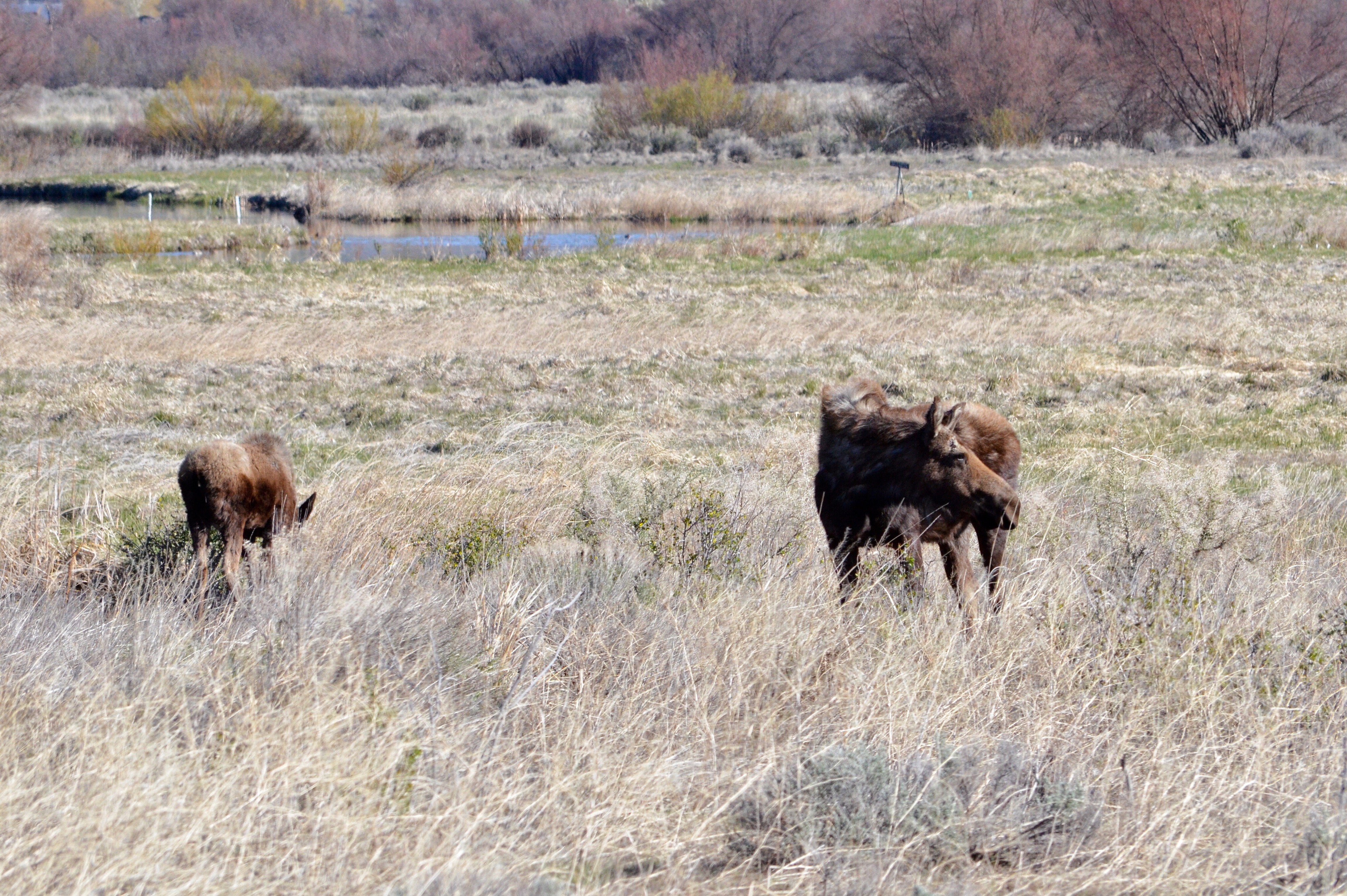
Moose at Silver Creek Preserve
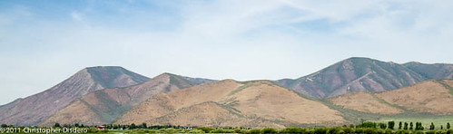
The Dunes of Idaho
Topographic Map of Carey, ID, USA
Find elevation by address:

Places in Carey, ID, USA:
Places near Carey, ID, USA:
N Main St, Carey, ID, USA
Little Wood Reservoir Road
Little Wood Reservoir Road
Picabo
2nd St, Bellevue, ID, USA
Blaine County
Blaine County
Blaine County
Blaine County
Blaine County
Blaine County
Blaine County
Blaine County
Blaine County
Blaine County
Blaine County
Blaine County
Blaine County
Blaine County
Blaine County
Recent Searches:
- Elevation of Corso Fratelli Cairoli, 35, Macerata MC, Italy
- Elevation of Tallevast Rd, Sarasota, FL, USA
- Elevation of 4th St E, Sonoma, CA, USA
- Elevation of Black Hollow Rd, Pennsdale, PA, USA
- Elevation of Oakland Ave, Williamsport, PA, USA
- Elevation of Pedrógão Grande, Portugal
- Elevation of Klee Dr, Martinsburg, WV, USA
- Elevation of Via Roma, Pieranica CR, Italy
- Elevation of Tavkvetili Mountain, Georgia
- Elevation of Hartfords Bluff Cir, Mt Pleasant, SC, USA