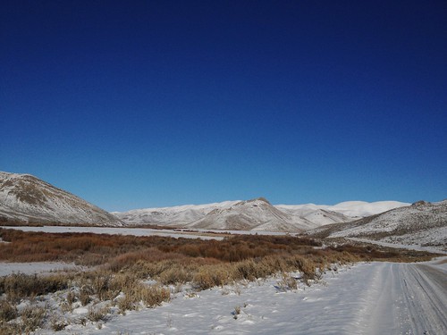
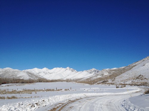
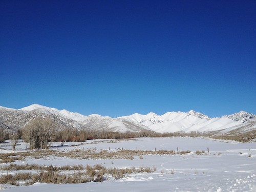
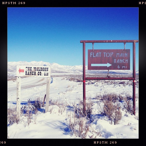
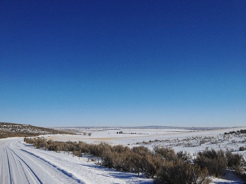
Elevation map of Blaine County, ID, USA
Location: United States > Idaho >
Longitude: -113.96644
Latitude: 43.4743428
Elevation: 1739m / 5705feet
Barometric Pressure: 82KPa
Related Photos:
Topographic Map of Blaine County, ID, USA
Find elevation by address:

Places in Blaine County, ID, USA:
Places near Blaine County, ID, USA:
Blaine County
Blaine County
Blaine County
Blaine County
Blaine County
Blaine County
Blaine County
Blaine County
Blaine County
Blaine County
Blaine County
Blaine County
Blaine County
Blaine County
Blaine County
Blaine County
Blaine County
Blaine County
Blaine County
Blaine County
Recent Searches:
- Elevation of Corso Fratelli Cairoli, 35, Macerata MC, Italy
- Elevation of Tallevast Rd, Sarasota, FL, USA
- Elevation of 4th St E, Sonoma, CA, USA
- Elevation of Black Hollow Rd, Pennsdale, PA, USA
- Elevation of Oakland Ave, Williamsport, PA, USA
- Elevation of Pedrógão Grande, Portugal
- Elevation of Klee Dr, Martinsburg, WV, USA
- Elevation of Via Roma, Pieranica CR, Italy
- Elevation of Tavkvetili Mountain, Georgia
- Elevation of Hartfords Bluff Cir, Mt Pleasant, SC, USA

