Elevation of Carefree, AZ, USA
Location: United States > Arizona > Maricopa County > Carefree >
Longitude: -111.9149875
Latitude: 33.8232982
Elevation: 734m / 2408feet
Barometric Pressure: 0KPa
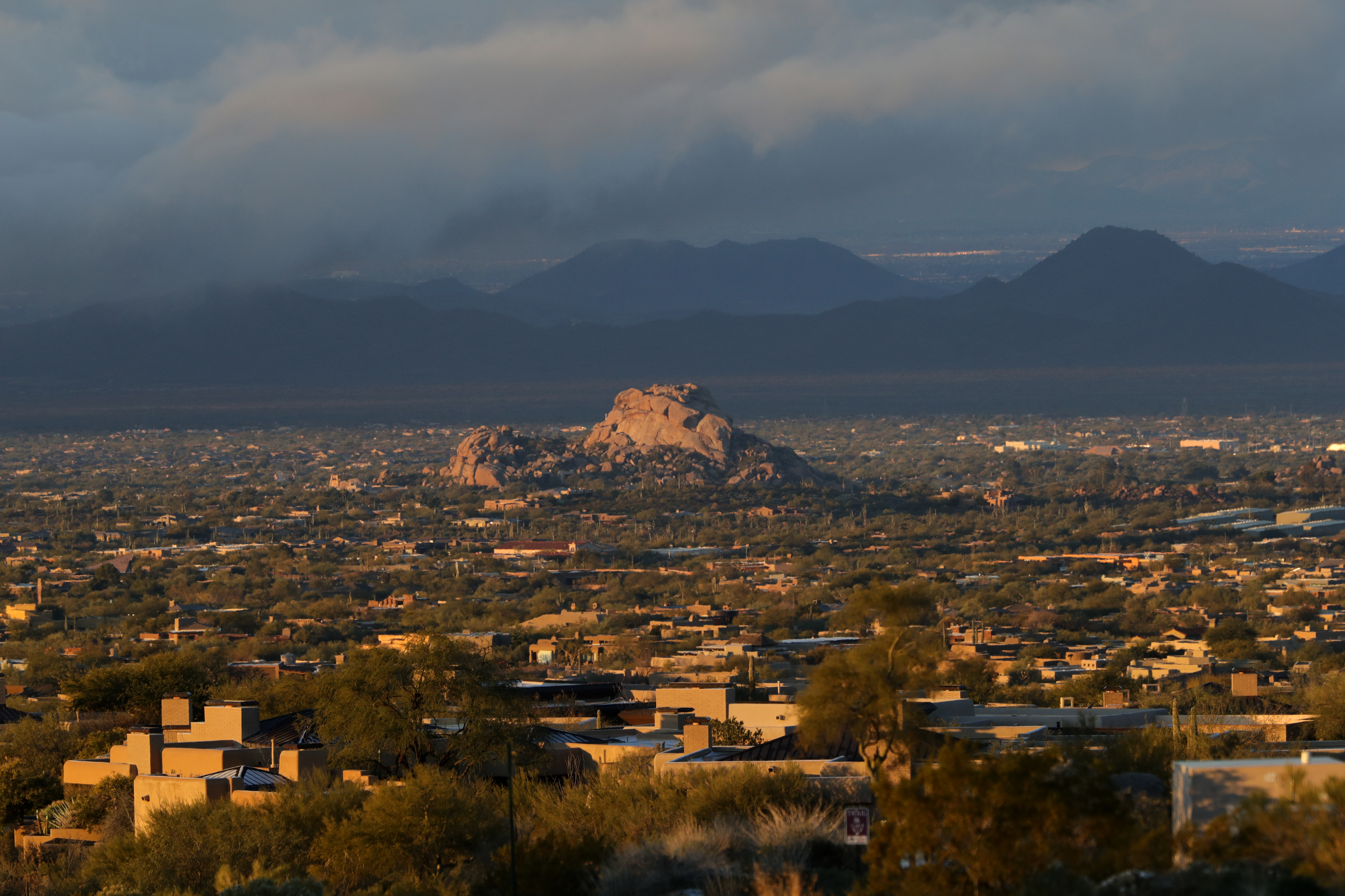
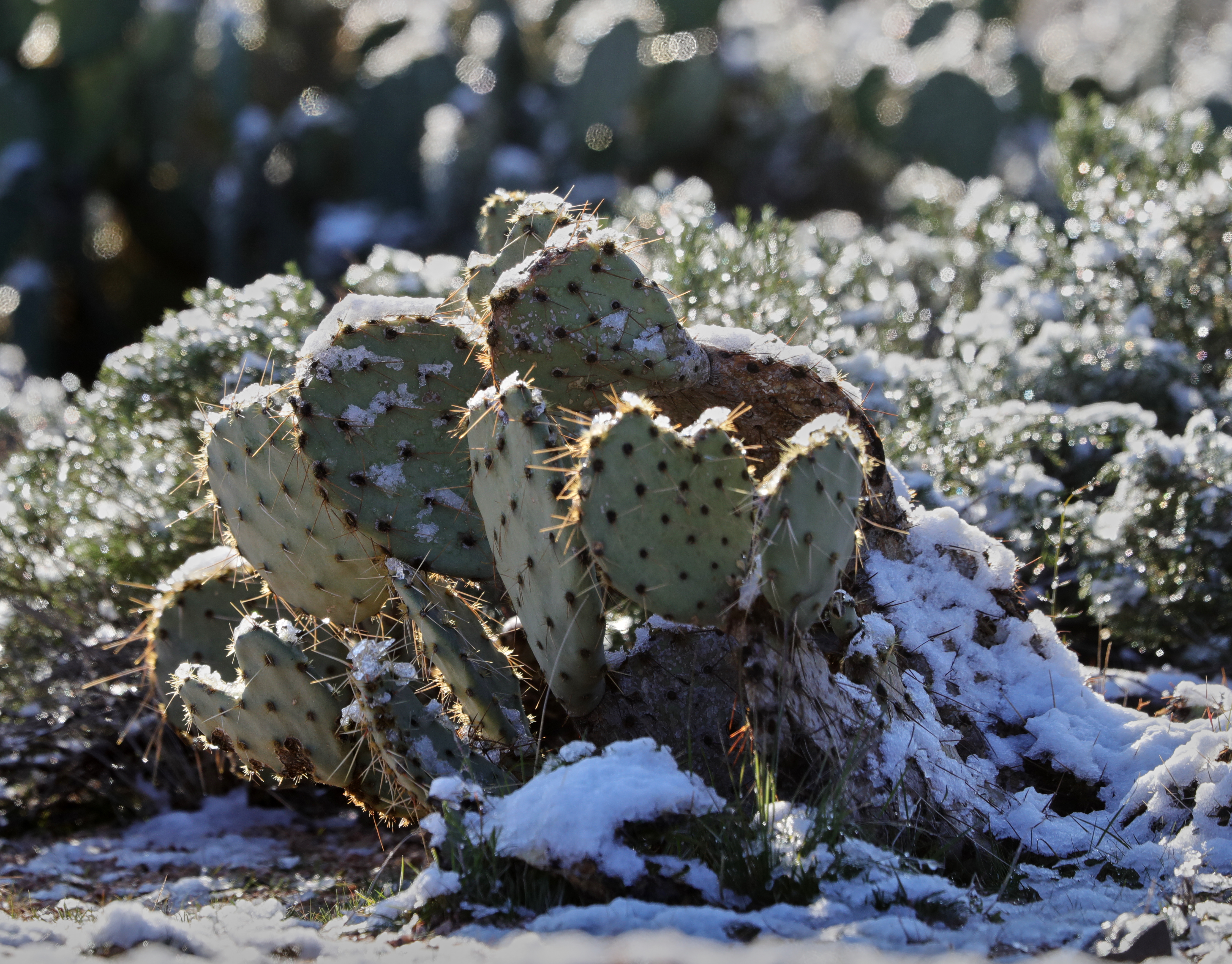
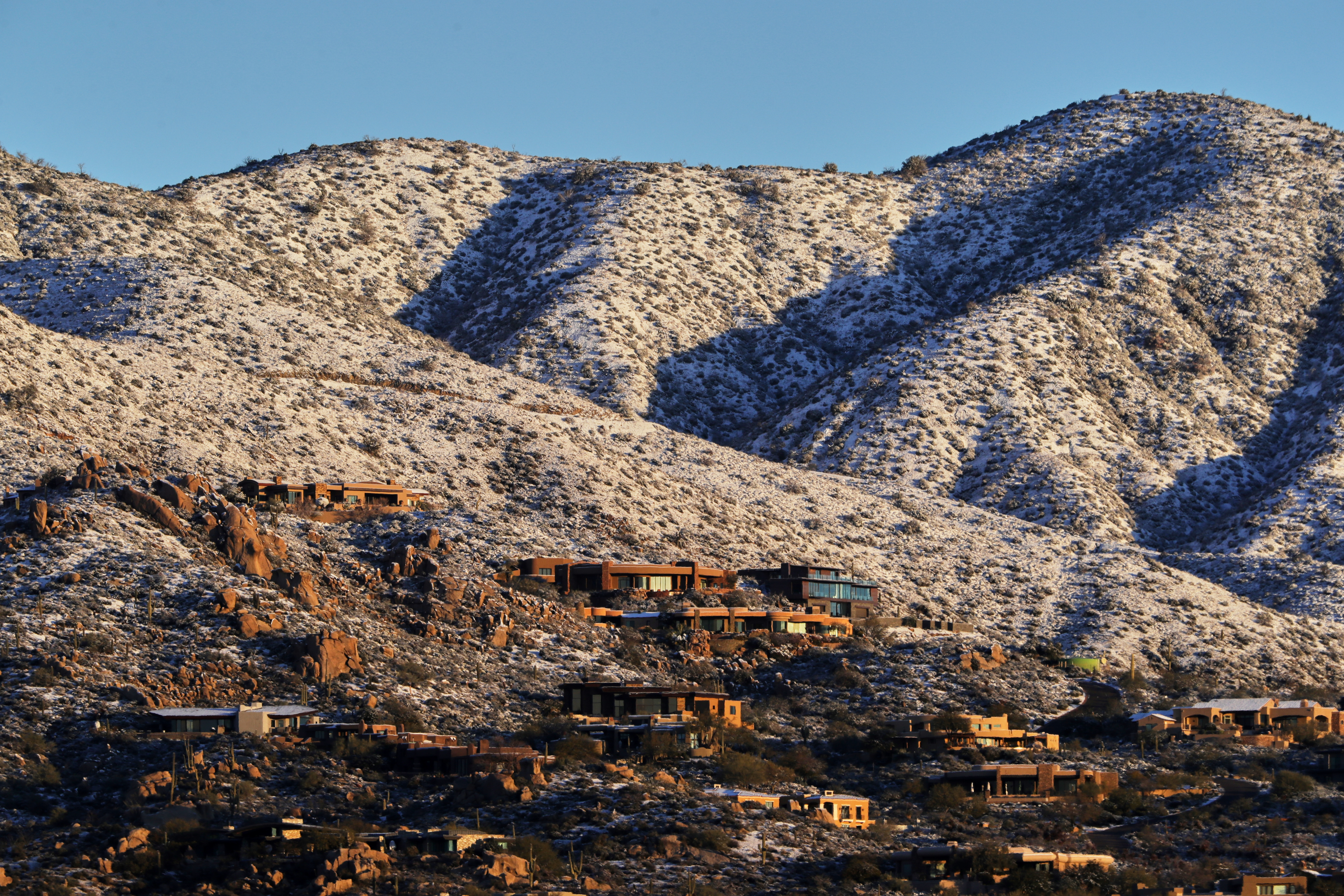
Related Photos:

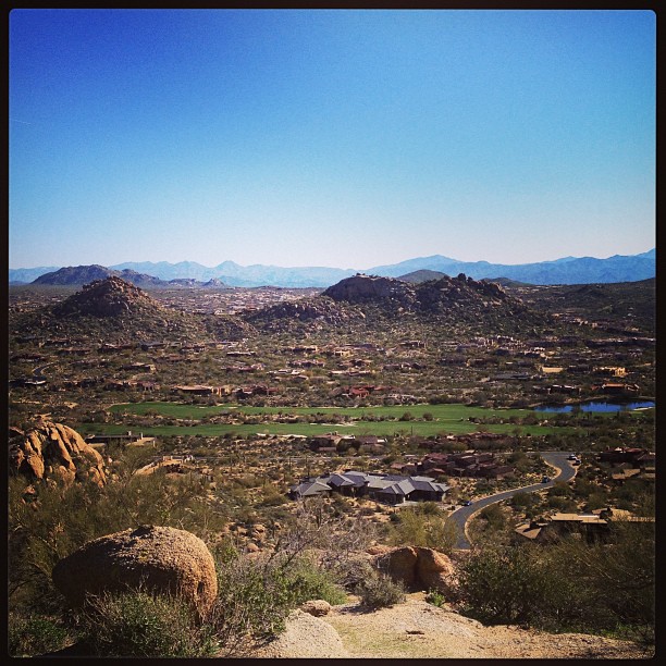
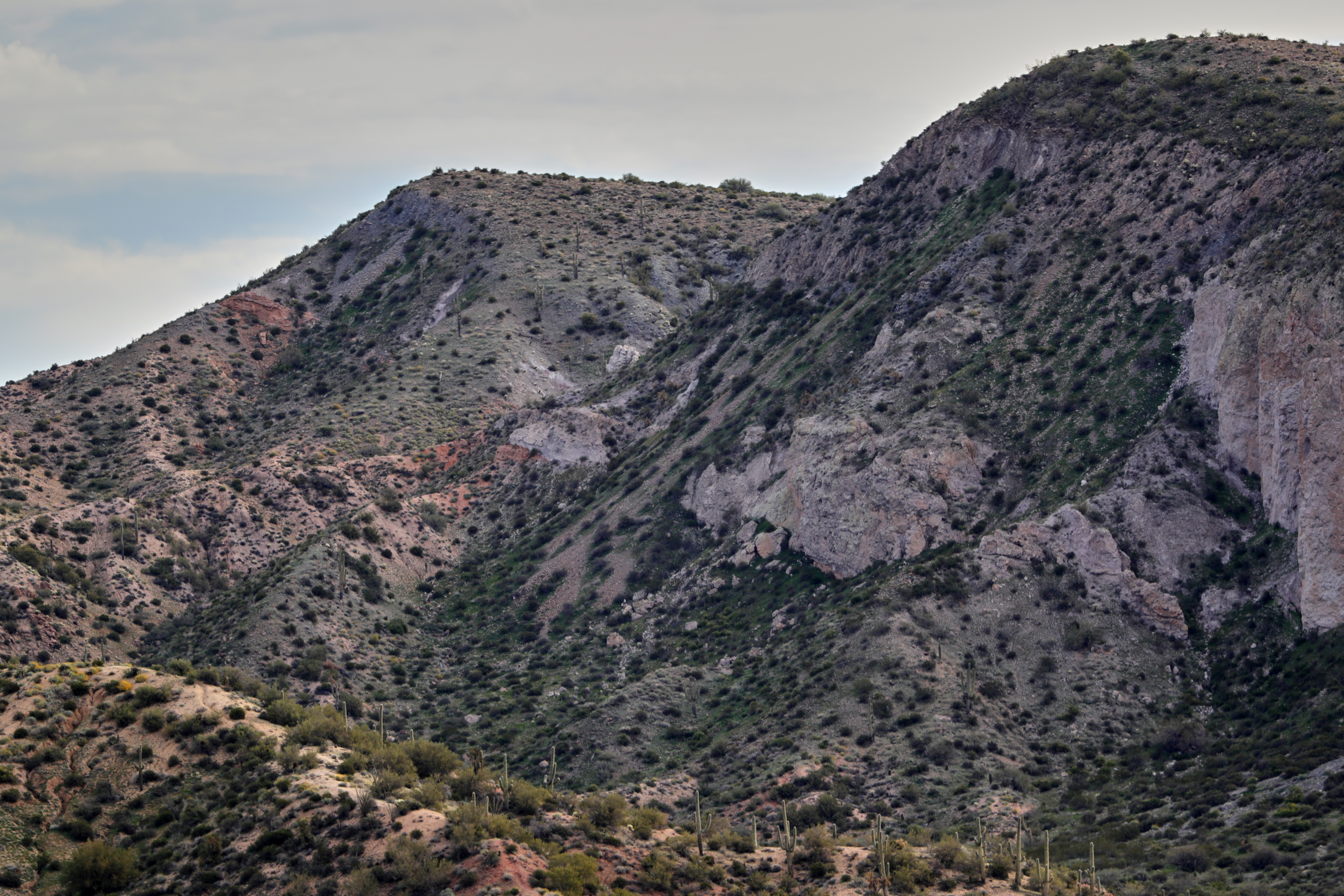
View to southwest approaching Black Mesa - Spur Cross

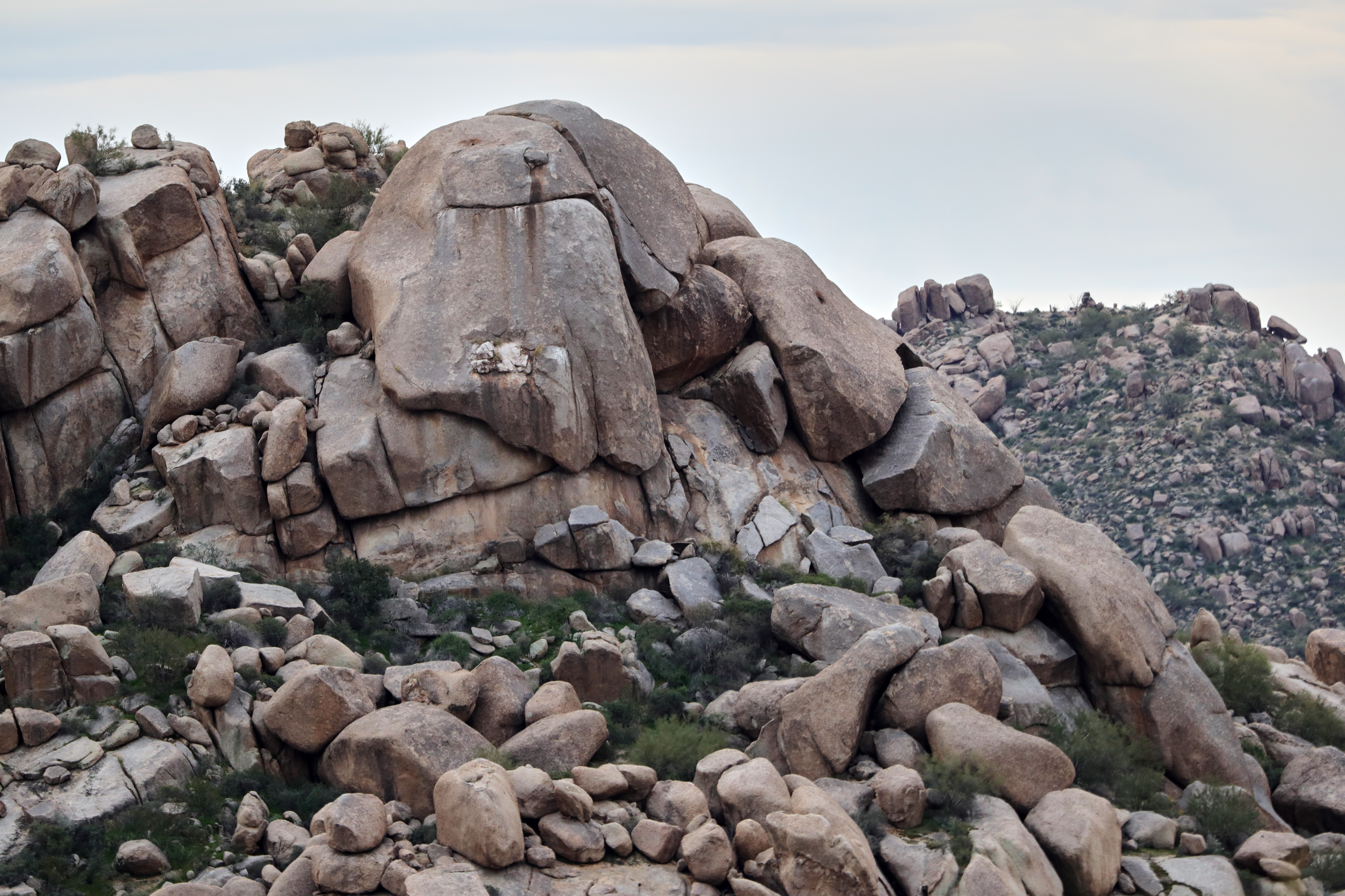
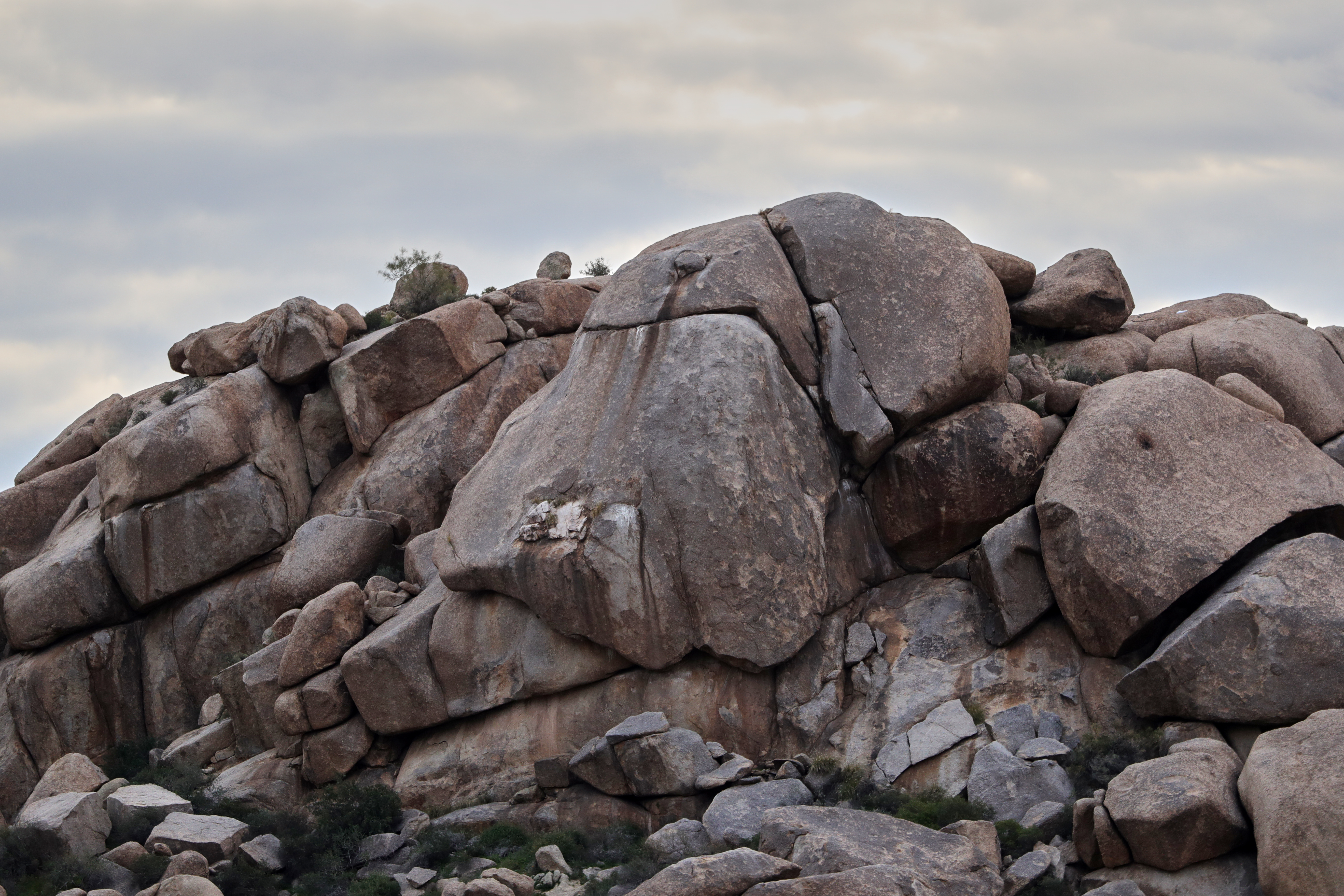
Sugarloaf Mountain and Skull Mesa from Black Mesa Trail - Spur Cross

In the Wash (Closeup)

Sears-Kay Ruins - Tonto National Forest
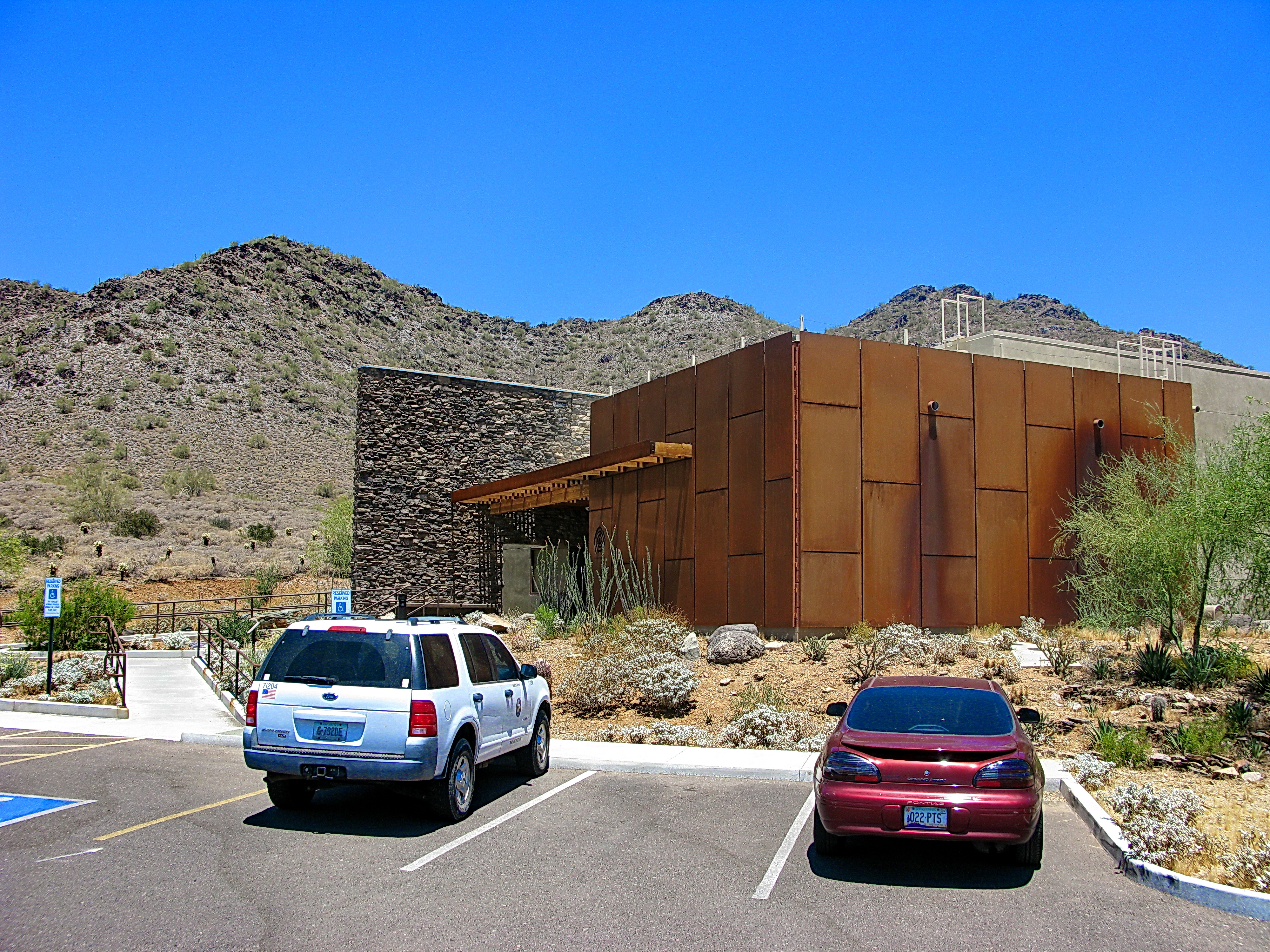
Cave Creek Recreation Area Visitor Center - LEED Certified
View to southwest from markers on Black Mesa - Cave Creek
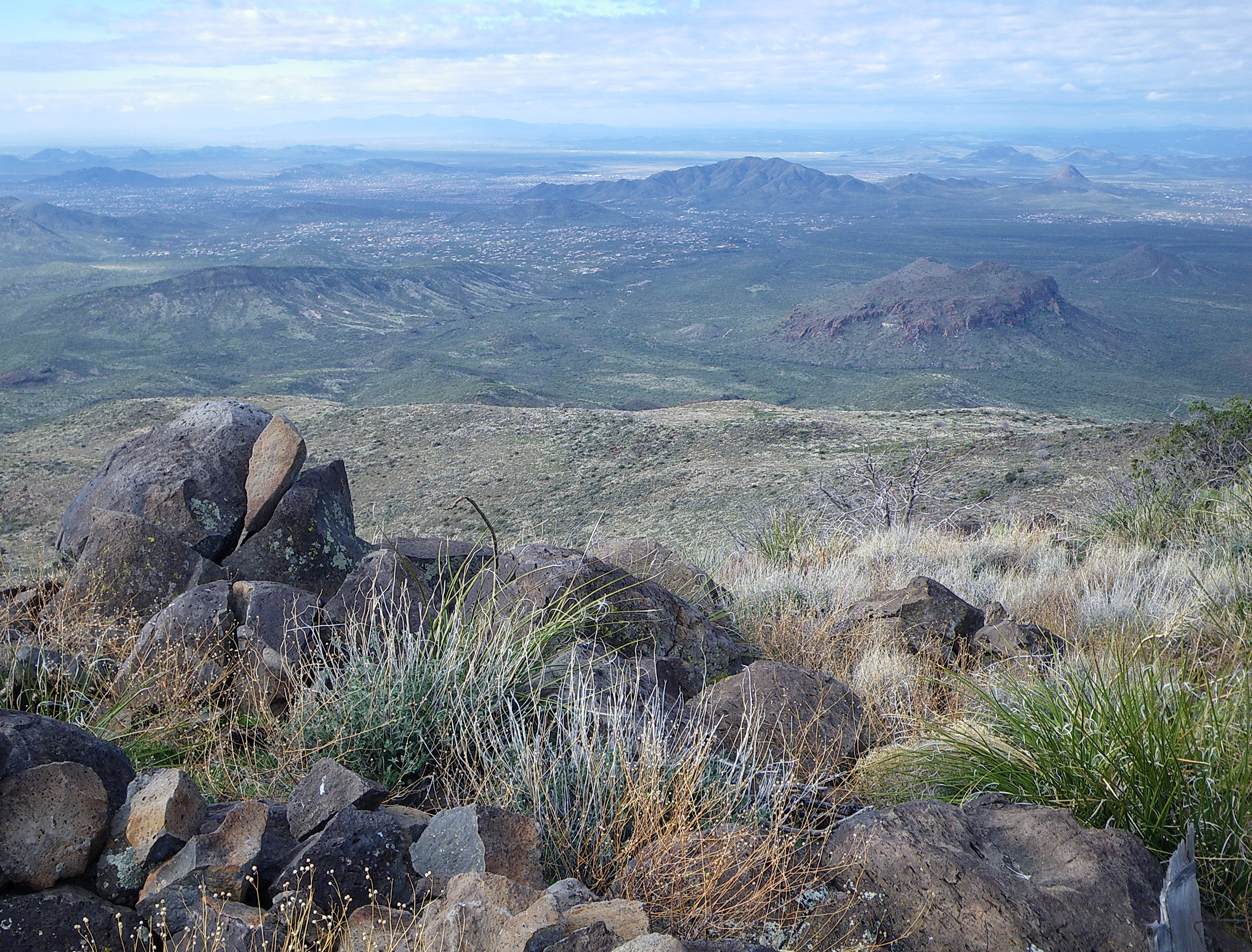
371. View from atop Quien Sabe summit centered on Black Mountain in the distance

Pink Snow Cactus
Another beautiful view from #pinnaclepeak hike this morning
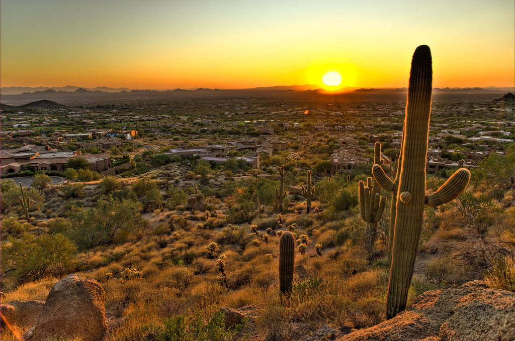
Cactus Sunset
Arizona Life

Zebra-tailed Lizard

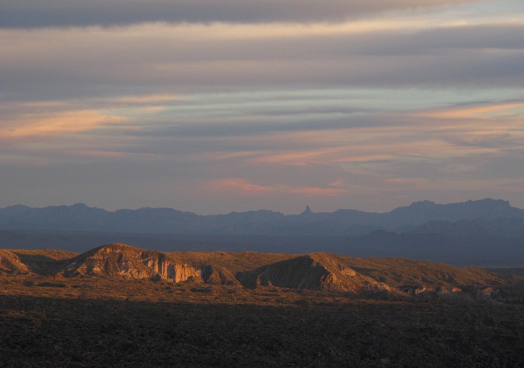
The evening view from Black Mountain.
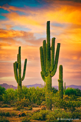
Saguaro Desert Life

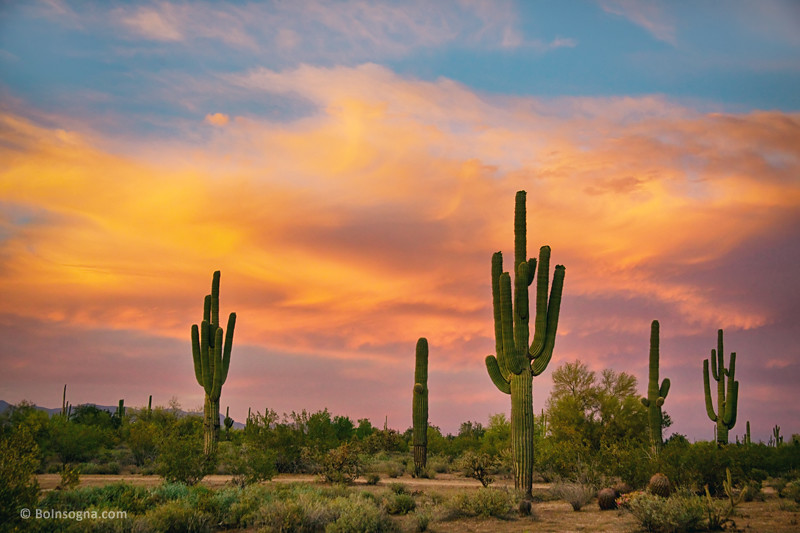
Land of the Giants

Cool Retro Diner Arrow Sign: Big Earl's Greasy Eats, Cave Creek, Close-up, West View
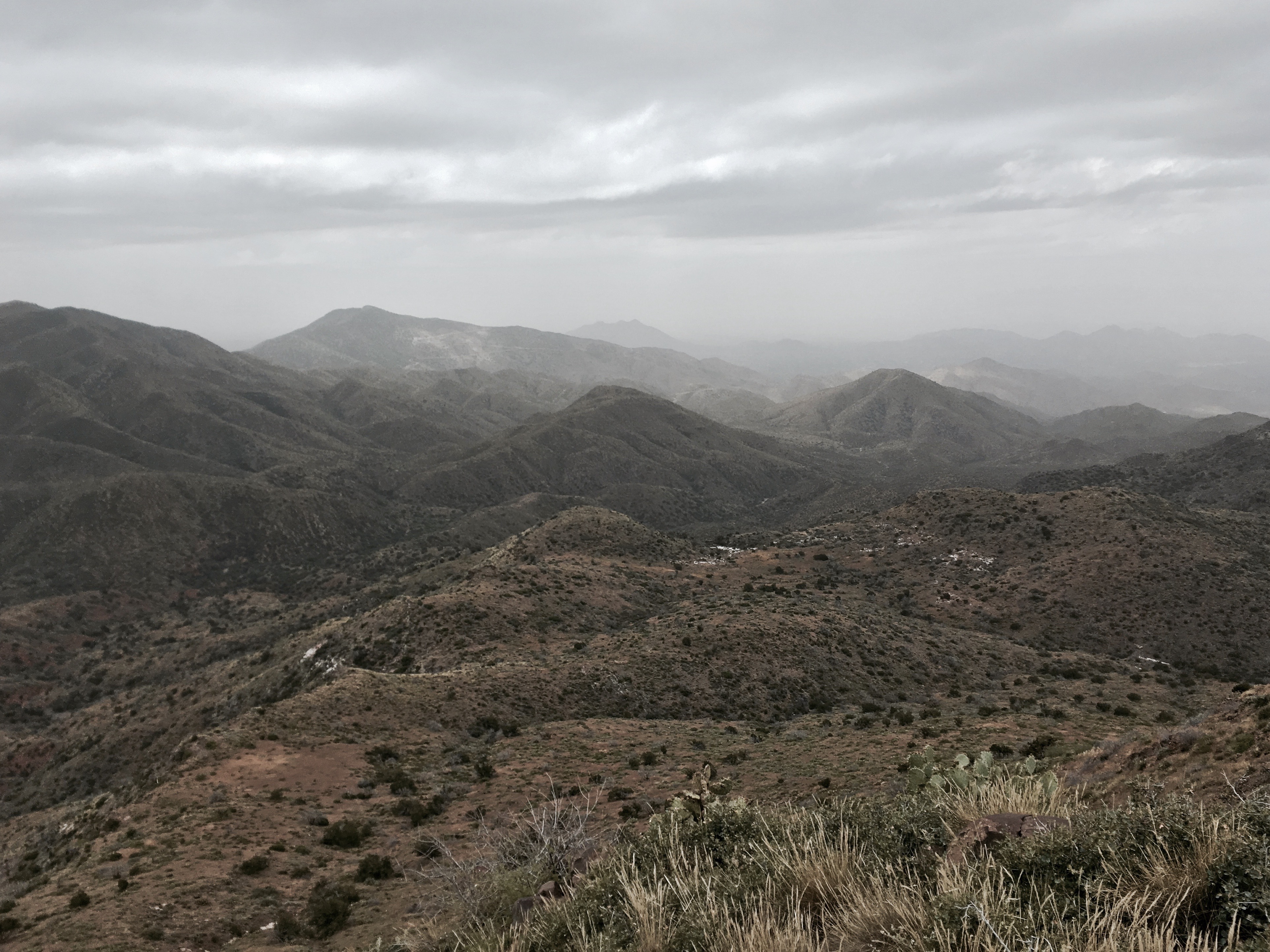
32. View along Bartlett Dam Road toward St. Clair Peak on a crisp New Year's Day

"Saguaro You Here?"--pun by Paul Ewing and Tim Lefler

View from Onyx at The Four Seasons Scottsdsle
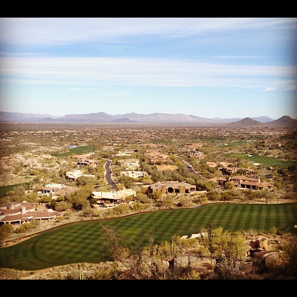
View from #pinnaclepeak highest point #scottsdale
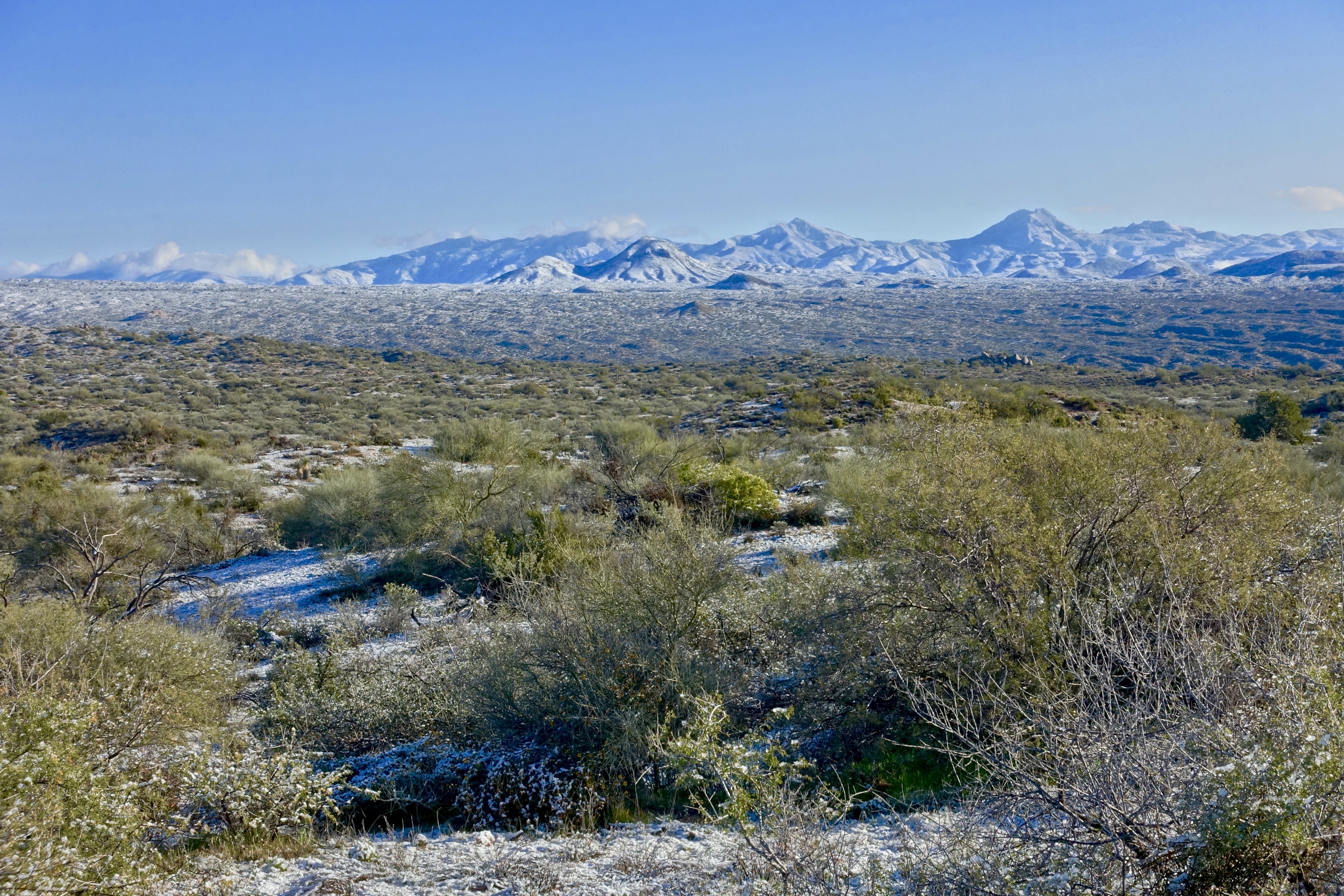
Desert Horizons
01-25-19-0045609
01-25-19-0045607

01-23-19-0045399

01-23-19-0045410 1

01-23-19-0045409

01-23-19-0045426
01-09-19-0044044
01-09-19-0043978
01-11-19-0044184
01-09-19-0044041

01-01-19-0043812

Arizona sunset
01-01-19-0043815

Pinnacle Peak from Greasewood Flats
01-01-19-0043742

Sunset 4.7.13
01-01-19-0043811
Topographic Map of Carefree, AZ, USA
Find elevation by address:

Places near Carefree, AZ, USA:
7724 E Primrose Path
Carefree
Carefree Too
97 Almarte Dr
7777 Celestial St
Carefree Arizona
36821 N Tom Darlington Dr
37021 N Holiday Ln
7343 E Horizon Dr
Leigh Estates
1252 E Indian Basket Ln
Sand Flower
8129 E Arroyo Seco Rd
9205 E Cave Creek Rd
Boulders Resort & Spa Scottsdale, Curio Collection By Hilton
Boulders Golf Club
Boulders Carefree
36811 N Pima Rd
Hawknest Trail
8645 E Staghorn Ln
Recent Searches:
- Elevation of 908, Northwood Drive, Bridge Field, Chesapeake, Virginia, 23322, USA
- Elevation map of Nagano Prefecture, Japan
- Elevation of 587, Bascule Drive, Oakdale, Stanislaus County, California, 95361, USA
- Elevation of Stadion Wankdorf, Sempachstrasse, Breitfeld, Bern, Bern-Mittelland administrative district, Bern, 3014, Switzerland
- Elevation of Z024, 76, Emil-von-Behring-Straße, Marbach, Marburg, Landkreis Marburg-Biedenkopf, Hesse, 35041, Germany
- Elevation of Gaskill Road, Hunts Cross, Liverpool, England, L24 9PH, United Kingdom
- Elevation of Speke, Liverpool, England, L24 9HD, United Kingdom
- Elevation of Seqirus, 475, Green Oaks Parkway, Holly Springs, Wake County, North Carolina, 27540, USA
- Elevation of Pasing, Munich, Bavaria, 81241, Germany
- Elevation of 24, Auburn Bay Crescent SE, Auburn Bay, Calgary, Alberta, T3M 0A6, Canada
- Elevation of Denver, 2314, Arapahoe Street, Five Points, Denver, Colorado, 80205, USA
- Elevation of Community of the Beatitudes, 2924, West 43rd Avenue, Sunnyside, Denver, Colorado, 80211, USA
- Elevation map of Litang County, Sichuan, China
- Elevation map of Madoi County, Qinghai, China
- Elevation of 3314, Ohio State Route 114, Payne, Paulding County, Ohio, 45880, USA
- Elevation of Sarahills Drive, Saratoga, Santa Clara County, California, 95070, USA
- Elevation of Town of Bombay, Franklin County, New York, USA
- Elevation of 9, Convent Lane, Center Moriches, Suffolk County, New York, 11934, USA
- Elevation of Saint Angelas Convent, 9, Convent Lane, Center Moriches, Suffolk County, New York, 11934, USA
- Elevation of 131st Street Southwest, Mukilteo, Snohomish County, Washington, 98275, USA