Elevation of Canyon Mountain, Montana, USA
Location: United States > Montana > Park County > Livingston >
Longitude: -110.67437
Latitude: 45.6010458
Elevation: 2427m / 7963feet
Barometric Pressure: 75KPa
Elevation Map:
Satellite Map:
Related Photos:
Chimney Rock, Montana

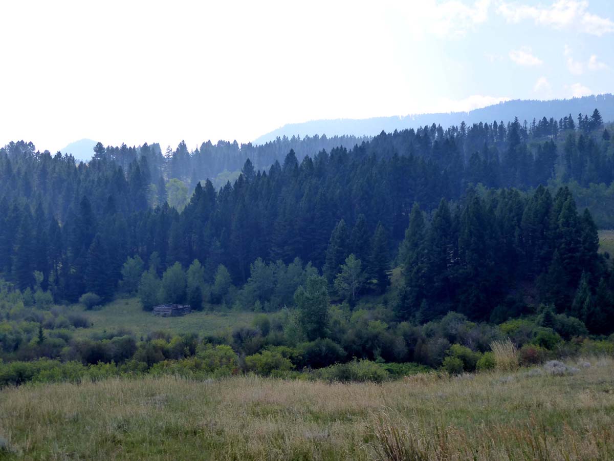
Livingston MT view DSC_5336
Topographic Map of Canyon Mountain, Montana, USA
Find elevation by address:

Places near Canyon Mountain, Montana, USA:
Antelope Flats
Coyote Drive
Mountain View
163 Lake Dr E
Chimney Rock
245 Fleshman Creek Rd
5096 Us-89
803 Pleiades Pl
Trail Creek Road
270 Trail Creek Rd
4523 Woodchuck Rd
Hwy 10 W & Washington St
Trail Creek Rd, Bozeman, MT, USA
104 W Gallatin St
1153 Trail Creek Rd
Livingston
163 Pine Creek Rd
1153 Trail Creek Rd
Skyline Drive
Montana's Rib & Chop House
Recent Searches:
- Elevation of Corso Fratelli Cairoli, 35, Macerata MC, Italy
- Elevation of Tallevast Rd, Sarasota, FL, USA
- Elevation of 4th St E, Sonoma, CA, USA
- Elevation of Black Hollow Rd, Pennsdale, PA, USA
- Elevation of Oakland Ave, Williamsport, PA, USA
- Elevation of Pedrógão Grande, Portugal
- Elevation of Klee Dr, Martinsburg, WV, USA
- Elevation of Via Roma, Pieranica CR, Italy
- Elevation of Tavkvetili Mountain, Georgia
- Elevation of Hartfords Bluff Cir, Mt Pleasant, SC, USA