Elevation of Trail Creek Rd, Bozeman, MT, USA

Location: United States > Montana > Park County >

Longitude: -110.79720

Latitude: 45.584331

Elevation: 1845m / 6053feet

Barometric Pressure: 81KPa

Elevation Map:

elevation map of Trail Creek Rd, Bozeman, MT, USA

Satellite Map:

Satellite map of Trail Creek Rd, Bozeman, MT, USA

Related Photos:

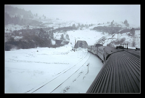
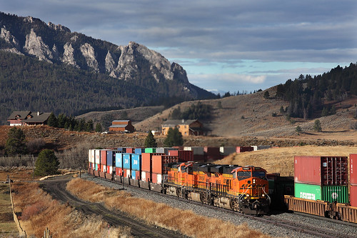
snow montana fromthetrain passengertrain northcoastlimited bozemanpass geotaggedmontana
Bozeman Pass From the North Coast Limited - 1969
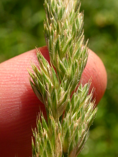
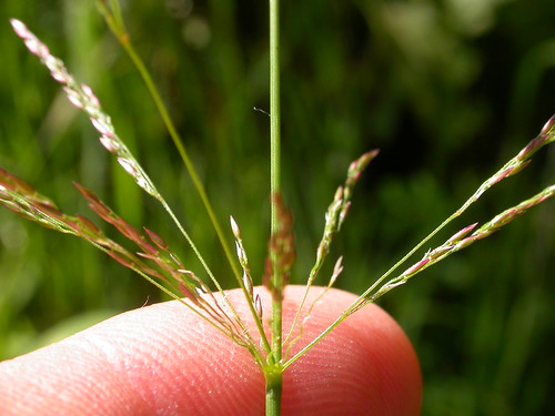
grass poaceae perennial inflorescence introduced bunchgrass spikelet bearcanyon dactylisglomerata dactylis orchardgrass burkepark coolseason gallagatortrail drysite poeae wetsite
Dactylis glomerata
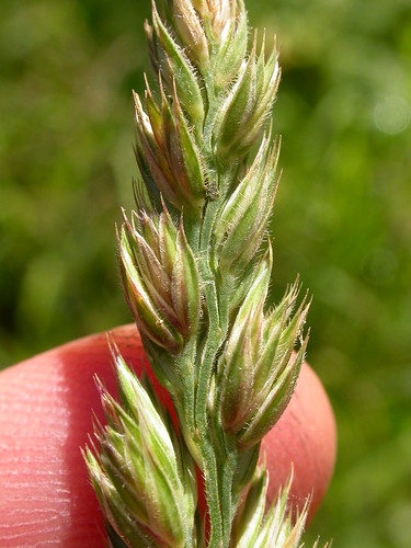
grass poaceae perennial inflorescence introduced bunchgrass spikelet bearcanyon dactylisglomerata dactylis orchardgrass burkepark coolseason gallagatortrail drysite poeae wetsite
Dactylis glomerata
trip geotagged denver denvertrip geo:lat=456534166666667 geo:lon=110618
PenskeTwo-2.jpg
trip geotagged denver denvertrip geo:lat=456533055555556 geo:lon=110617694444444
PenskeTwo-1.jpg
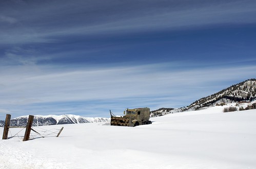
abandoned nikon rust montana bozeman 24mm snowplow d300 f28d sicad
Plowed In
trip geotagged denver denvertrip geo:lat=45647 geo:lon=110881861111111
PenskeTwo-14.jpg
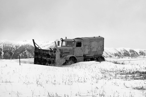
abandoned truck nikon rust montana bozeman decay 18200mm d80
All Plowed Out
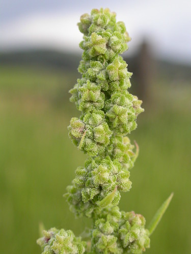
green midsummer native herb steppe inflorescence malmborg chenopodiaceae jacksoncreek amaranthaceae bozemanpass burkepark chenopodiumberlandieri pitseedgoosefoot
Chenopodium berlandieri
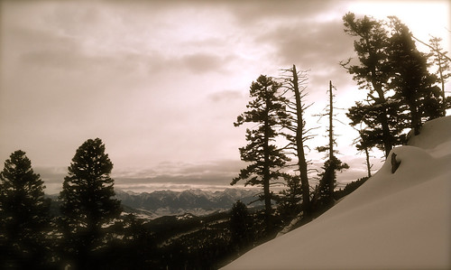
backcountryskiing gallatinnationalforest chestnutmountain splitboarding gallatinmountainrange
Absaroka Range viewed from Northern Gallatins
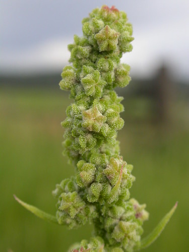
green midsummer native herb steppe inflorescence malmborg chenopodiaceae jacksoncreek amaranthaceae bozemanpass burkepark chenopodiumberlandieri pitseedgoosefoot
Chenopodium berlandieri
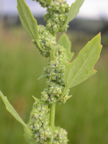
green leaves midsummer native herb steppe inflorescence malmborg chenopodiaceae jacksoncreek amaranthaceae bozemanpass burkepark chenopodiumberlandieri pitseedgoosefoot
Chenopodium berlandieri
montana chimneyrock parkcounty townsite trailcreek gallatinmountains
Chimney Rock, Montana
BNSF M LAUPAS1 25 At Least It Took Place
montana bozeman
At Palisade Falls (13)
2012-07-14 12.37.38
Container crossing
2012-07-14 12.38.43
grass poaceae perennial redtop inflorescence bentgrass introduced bearcanyon agrostis stoloniferous coolseason gallagatortrail creepingbentgrass wetsite agrostisstolonifera taxonomy:binomial=agrostisstolonifera
Agrostis stolonifera
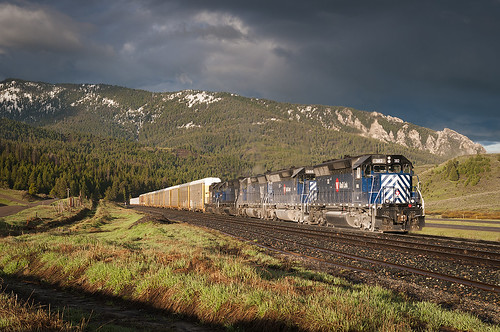
railroad storm mountains train montana bozeman unitedstates elite mrl gorf sd45 emd bozemanpass sd402xr mrl328 mrl355 mrl382 mrl365 spolau118a
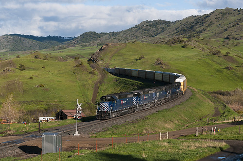
Battling Bozeman Pass
railroad train montana unitedstates emerald mrl livingston gorf sd45 emd bozemanpass sd452xr mrl328 mrl355 mrl382 mrl351 mspolau118a mrl365 gorfsplore
Descending Bozeman
bigsummertrip
Day 2-5
train montana smoke lm freight forestfires mrl freighttrain livingstonmontana montanaraillink bozemanpass manifestfreight mountaingrade bozemanhill mrl2ndsubdivision laurelmissoula mrlsd70ace mrllm montanaraillink2ndsubdivision mrl4401 mrlsd70ace4401 mrllaumis
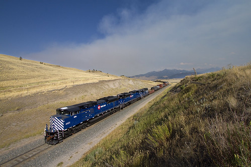
Up Bozeman
train montana grain rail link bnsf
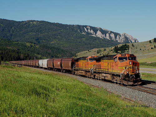
Grain Empties. July 26, 2014
bigsummertrip
RoadTrip2010-130
bigsummertrip
Day 2-10
montana gallantinnationalforest
Gallantin National Forest
square squareformat iphoneography instagramapp xproii uploaded:by=instagram foursquare:venue=4b856b67f964a5209e5c31e3
Bear Canyon is such a nice escape
BNSF HKCKSPO @ Livingston
train montana rail link coal bnsf
Coal Empties. July 26, 2014
MRL ML @ Bozeman
sky bozeman mt more picnik dogwalkbw
More Sky
2012-07-14 13.11.28
square lofi squareformat iphoneography instagramapp uploaded:by=instagram foursquare:venue=4fe8ff83e4b060e3a032c4a3
Before the dreadful climb #bozeman #montana #livingbozeman #mtnbiking