Elevation of Canyon Edge Rd, Pollock Pines, CA, USA
Location: United States > California > Placer County > Pollock Pines >
Longitude: -120.57382
Latitude: 38.7687996
Elevation: 1120m / 3675feet
Barometric Pressure: 89KPa
Elevation Map:
Satellite Map:
Related Photos:
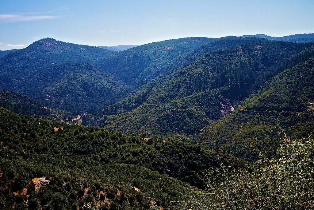
South Fork American River Valley

Sunset Vineyard

Apple Hill in the Rear View Mirror

Trail of Stars

Jenkinson Lake at blue hour

Oct-11-Apple Hill-4ps

River View

Jenkinson Lake at sunset

Jenkinson Lake before sunset
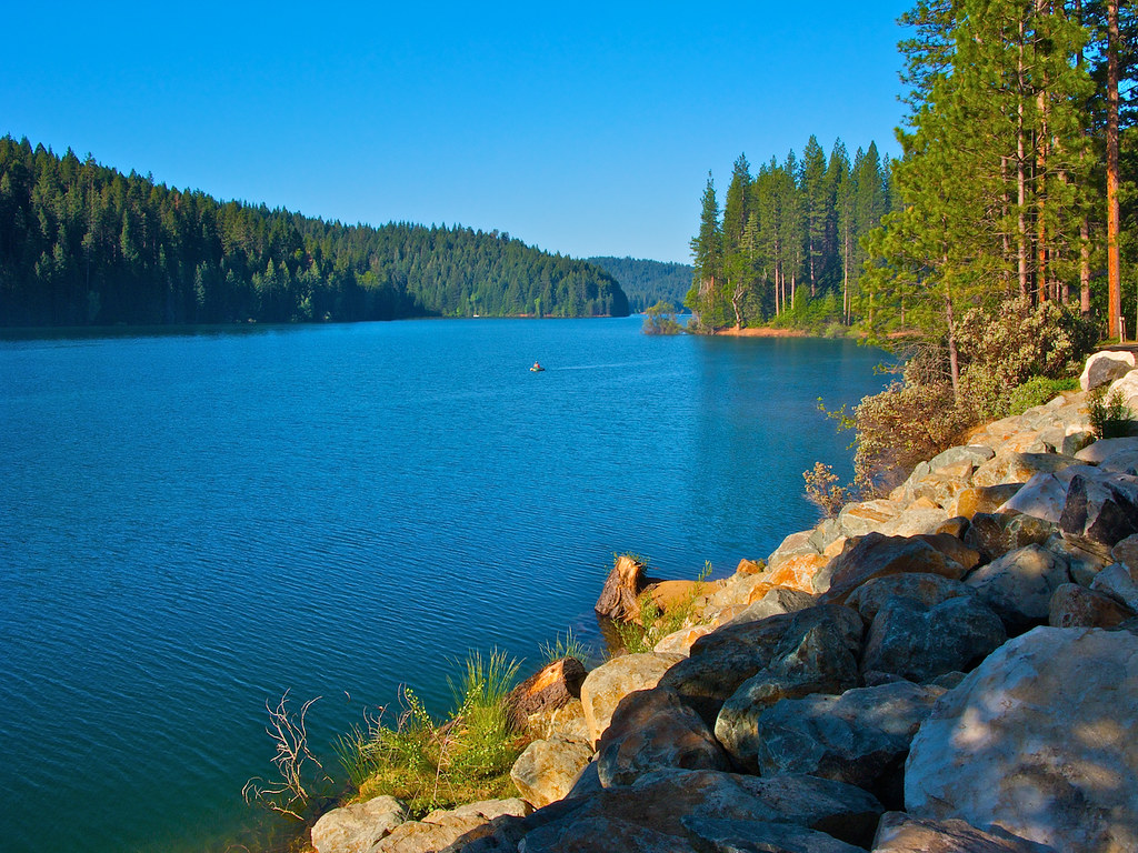
Jenkinson Lake - Pollock Pines
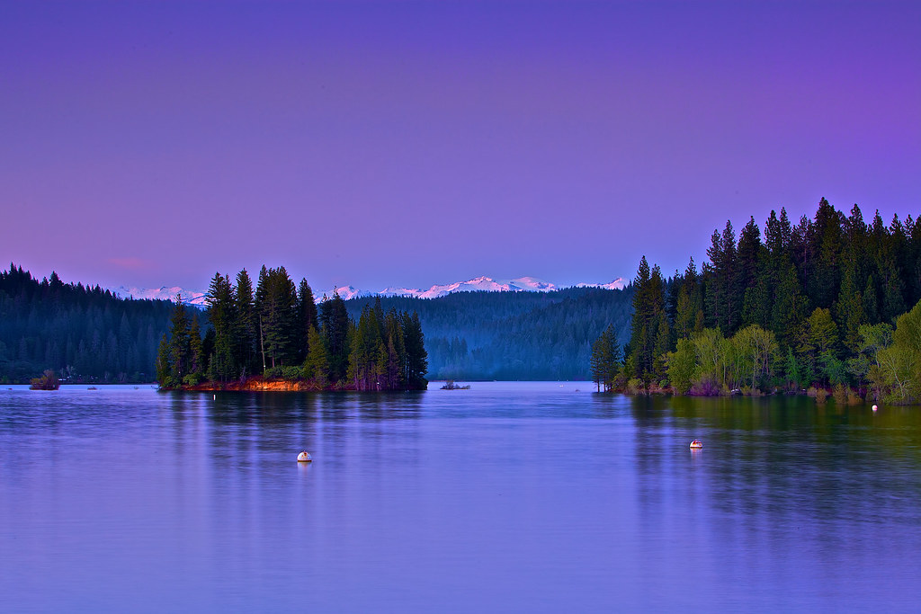
Jenkinson Lake at blue hour

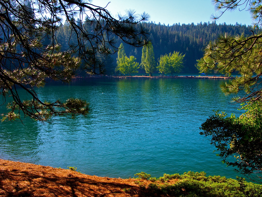
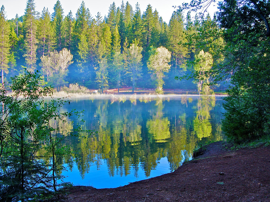
Jenkinson Lake at daytime

#HappyHolidays #HappyThanksGiving

Jenkinson Lake Hiking Trail - 1

Jenkinson Lake - 20090523 - 1
Jenkinson Lake - 20090523 - 2

Jenkinson Lake at night

Jenkinson Lake - 20090523 - 3
Jenkinson Lake - 20090523 - 4
Jenkinson Lake - 20090523 - 5
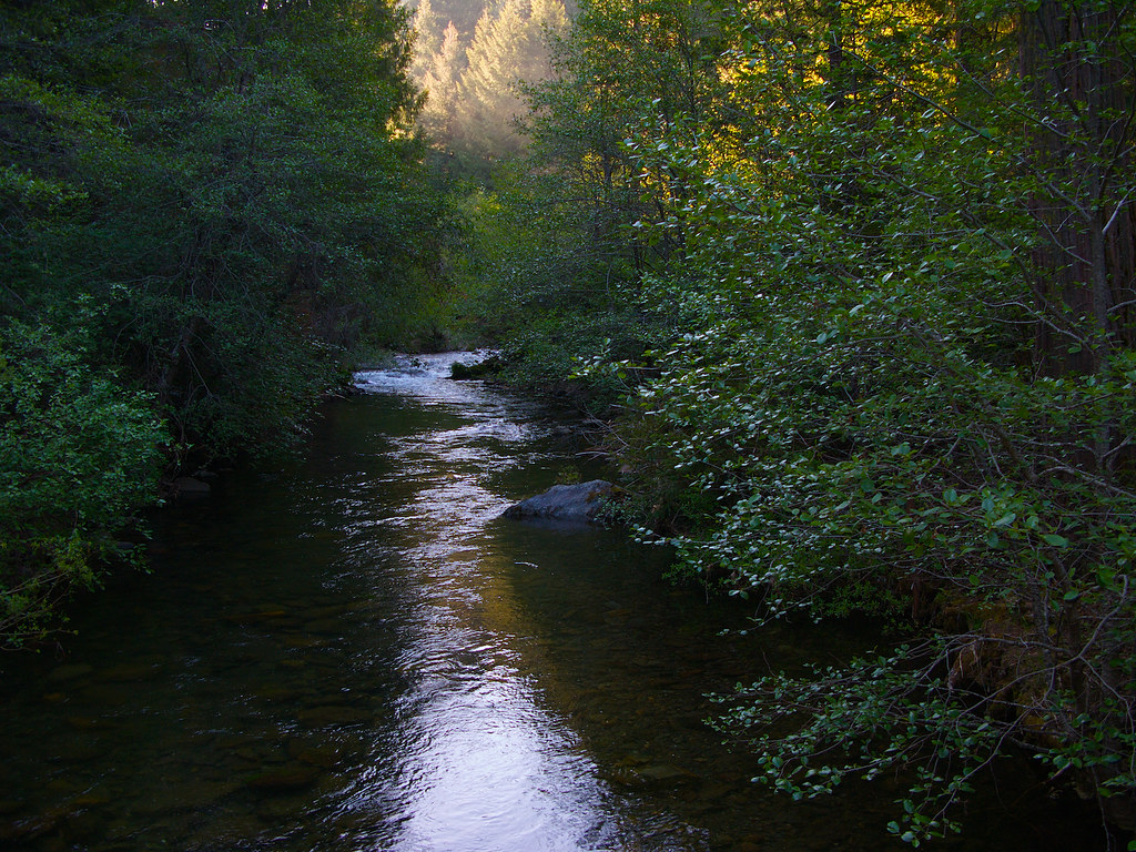
Sly Park Creek - Pollock Pines _1

The American River South Fork

The American River

Cross Section of the American River

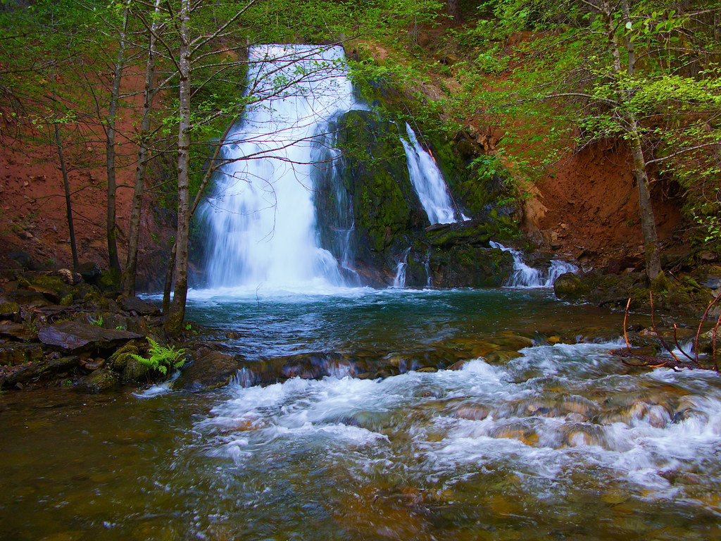
Bridal Veil Falls in Green

Stormy Sunset in Pleasant Valley

Stumpy Meadows

The American River. (Explore July 24, 2018 #49 )

Busby's Barn

North Fork Flow

Camp Creek Bridge

King Fire Western Edge 0423

U.S. Route 50 California Mtns

Apple trees and snow

Bridals Falls

Sweet Peas and the Coming of Summer
Topographic Map of Canyon Edge Rd, Pollock Pines, CA, USA
Find elevation by address:

Places near Canyon Edge Rd, Pollock Pines, CA, USA:
6507 Dobson Way
6498 Pony Express Trail
2071 Bourbon St
Terrace Drive
3181 Amber Trail
3151 Amber Trail
3148 Amber Trail
3289 Hazel St
6290 Ridgeway Dr
3401 Gold Ridge Trail
6881 Frontier Rd
Gold Ridge Trail, Pollock Pines, CA, USA
6434 Topaz Dr
6420 Topaz Dr
6738 Onyx Trail
6793 Onyx Trail
7104 Stacy Ln
Jade Court
4010 Jade Ct
3925 Garnet Rd
Recent Searches:
- Elevation of Corso Fratelli Cairoli, 35, Macerata MC, Italy
- Elevation of Tallevast Rd, Sarasota, FL, USA
- Elevation of 4th St E, Sonoma, CA, USA
- Elevation of Black Hollow Rd, Pennsdale, PA, USA
- Elevation of Oakland Ave, Williamsport, PA, USA
- Elevation of Pedrógão Grande, Portugal
- Elevation of Klee Dr, Martinsburg, WV, USA
- Elevation of Via Roma, Pieranica CR, Italy
- Elevation of Tavkvetili Mountain, Georgia
- Elevation of Hartfords Bluff Cir, Mt Pleasant, SC, USA