Elevation of Canyon Breeze Road, Canyon Breeze Rd, Bullhead City, AZ, USA
Location: United States > Arizona > Mohave County > Bullhead City >
Longitude: -114.55896
Latitude: 35.0821551
Elevation: 299m / 981feet
Barometric Pressure: 98KPa
Elevation Map:
Satellite Map:
Related Photos:

A Flamingo on the Colorado

On the Colorado River.

IMG_0271-01
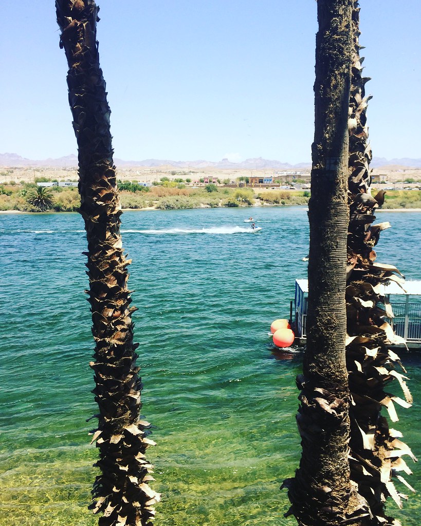
Colorado River

Skirting the River.
Exit Only
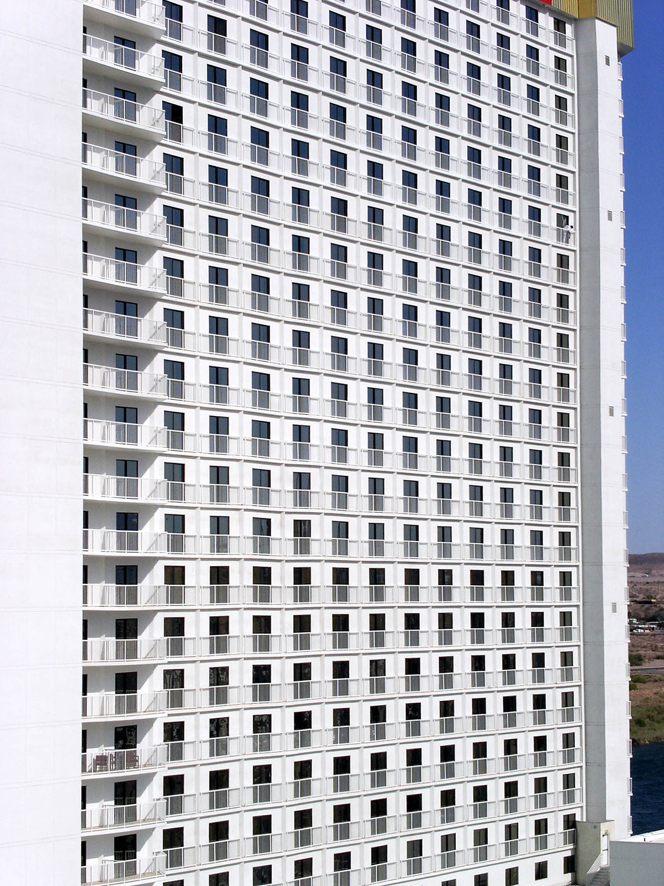
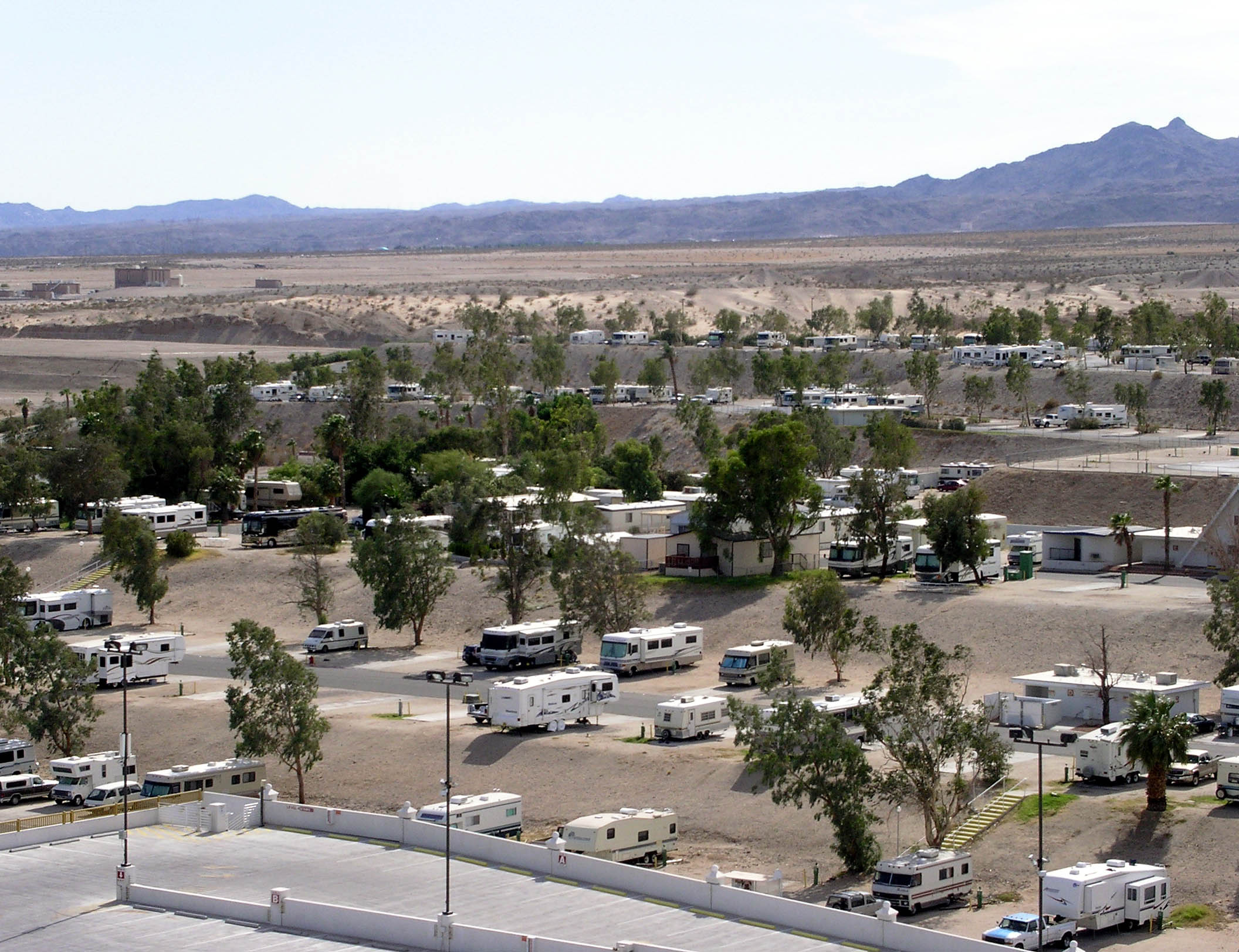
Casino View, Multiples all the Same

Happy New Year!
View of Bullhead City and Laughlin, Nevada from Needles Highway, Laughlin, Nevada
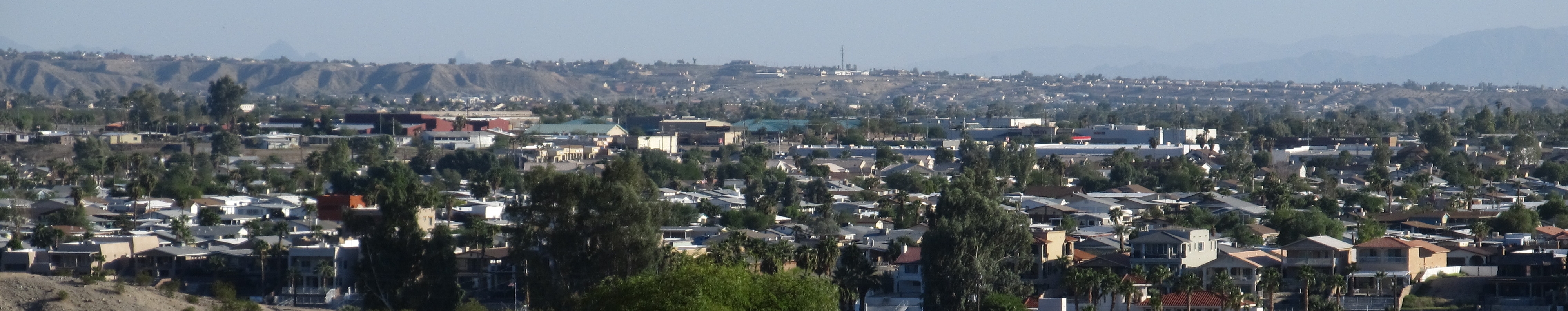
View of Bullhead City and Laughlin, Nevada from Needles Highway, Laughlin, Nevada

Lake Mohave, Lake Mead National Recreation Area, Bullhead City, Arizona
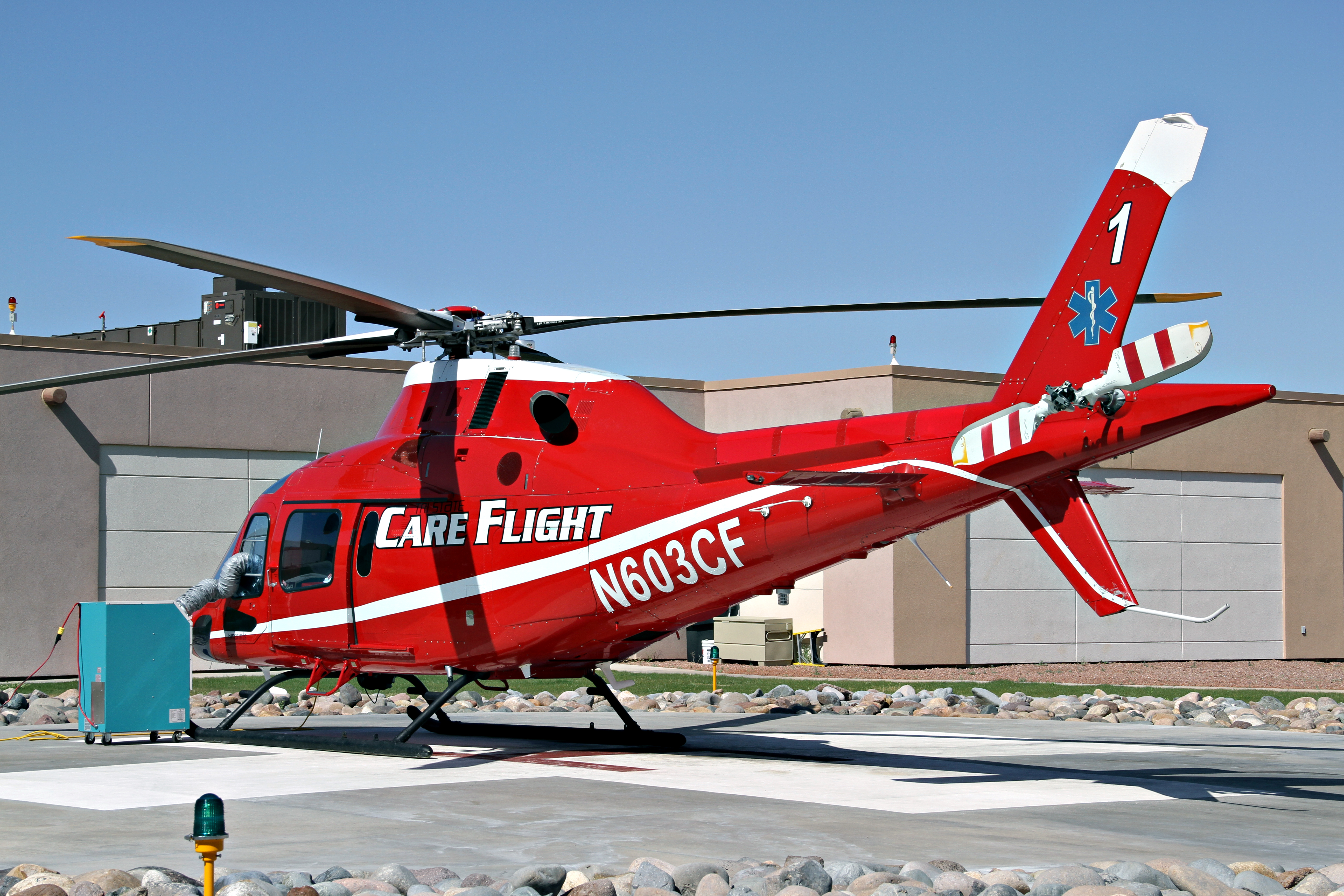
"Care Flight One" - Fort Mohave, AZ USA

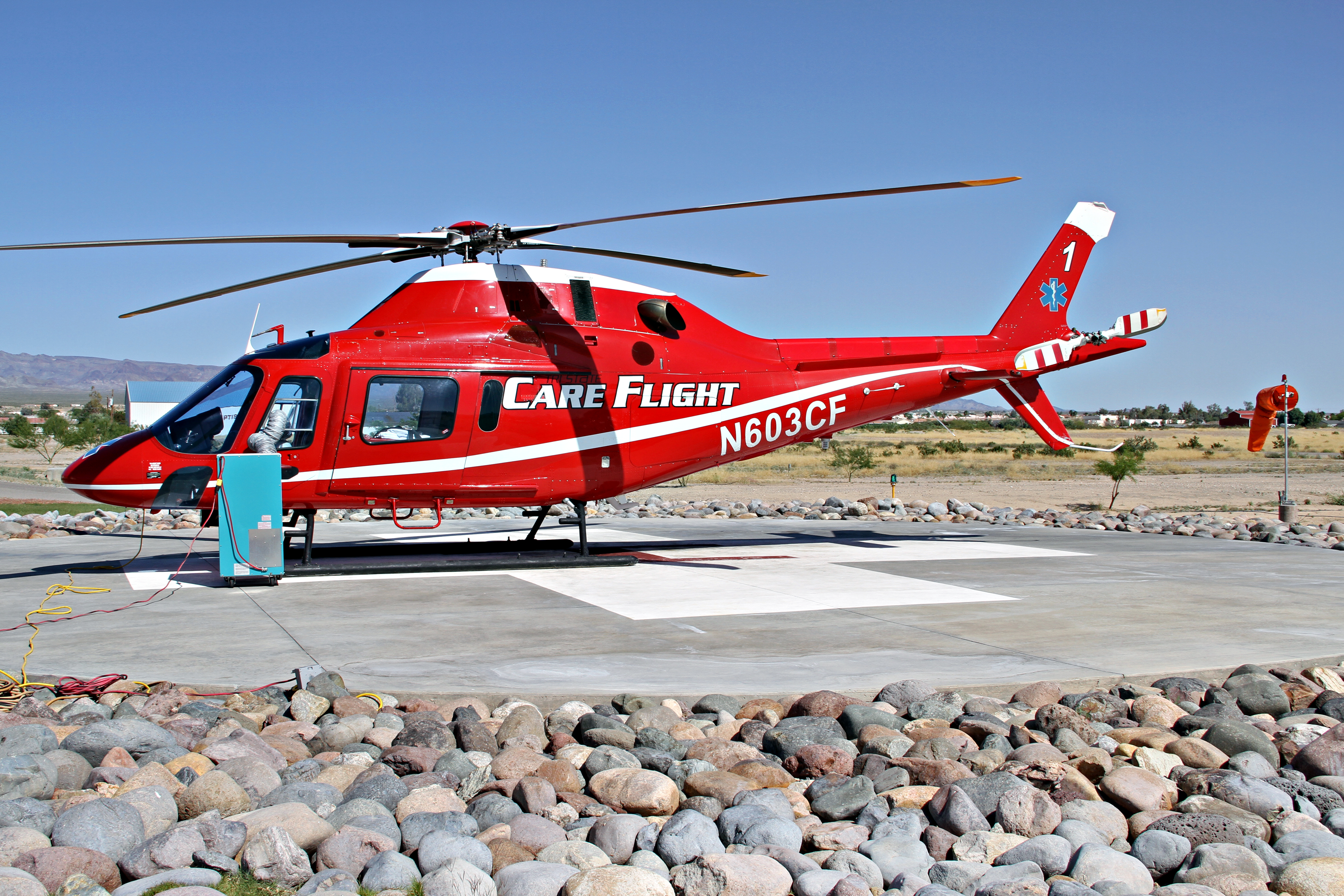
Hella Pad - Fort Mohave, AZ USA
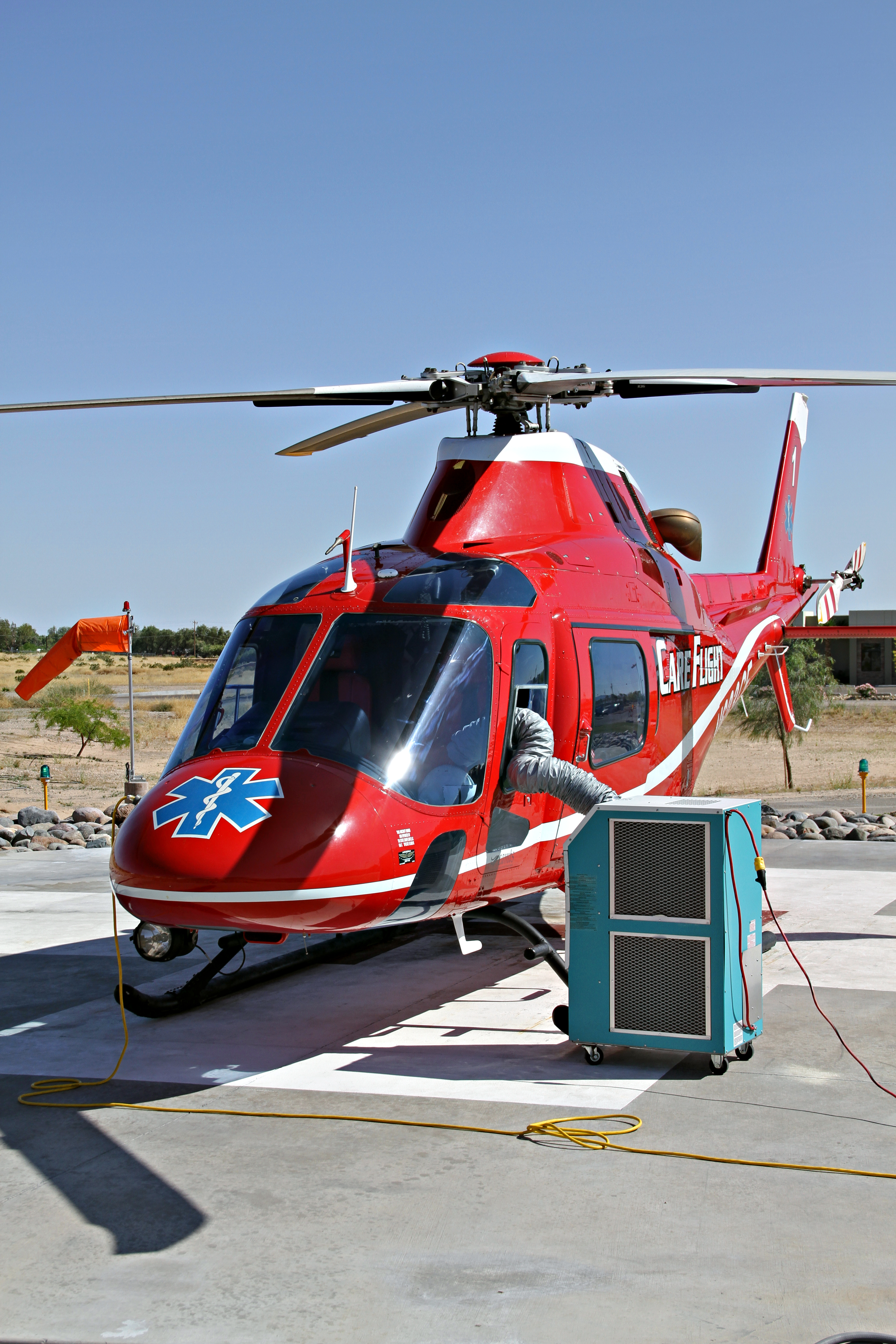
Always Ready - Fort Mohave, AZ USA
Crosswind Component - Fort Mohave, AZ USA
Grass Just Doesn't Do Well Here
Laughlin, NV
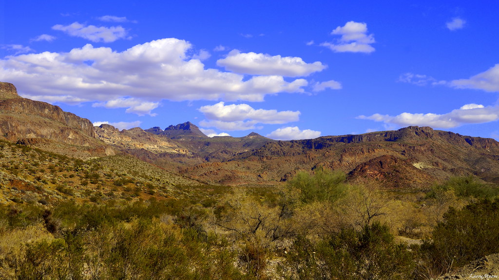
Arizona View, from Nevada

Runway 16

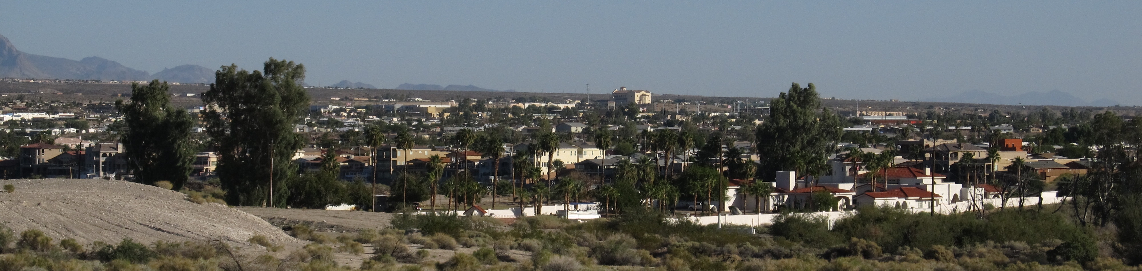
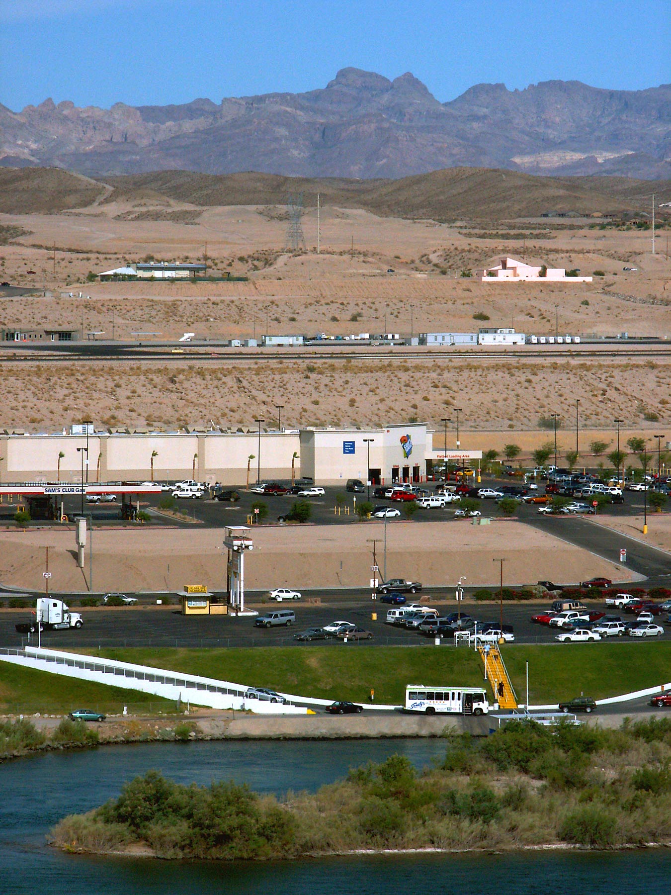
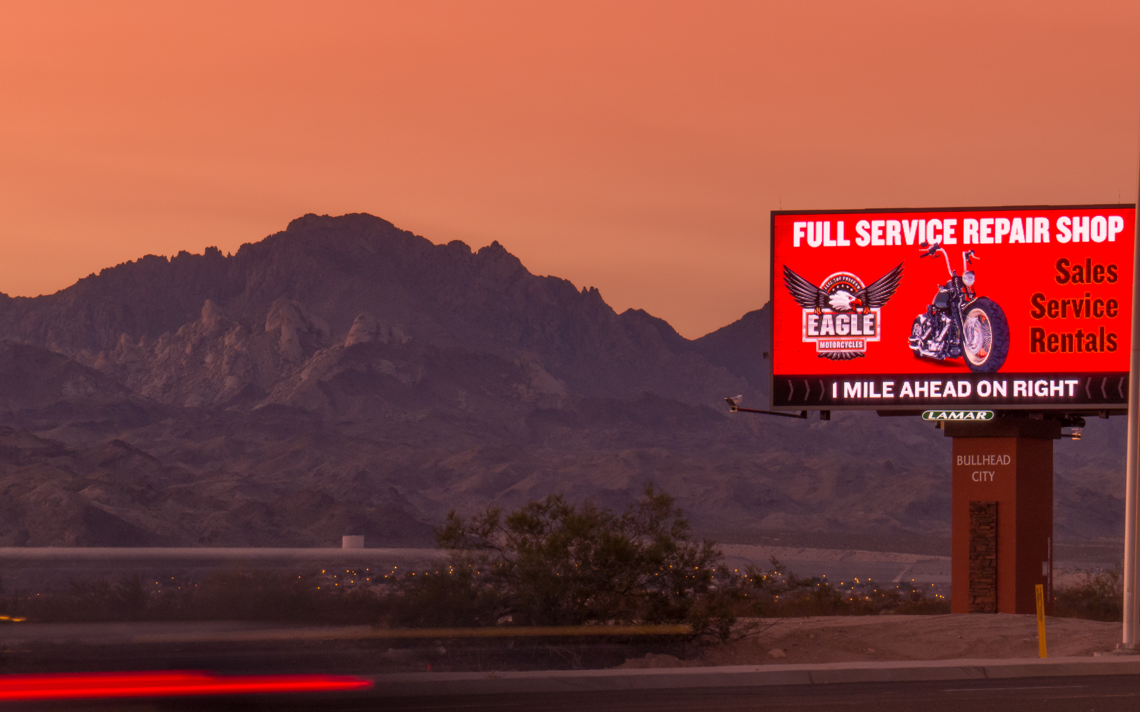
Bullhead View
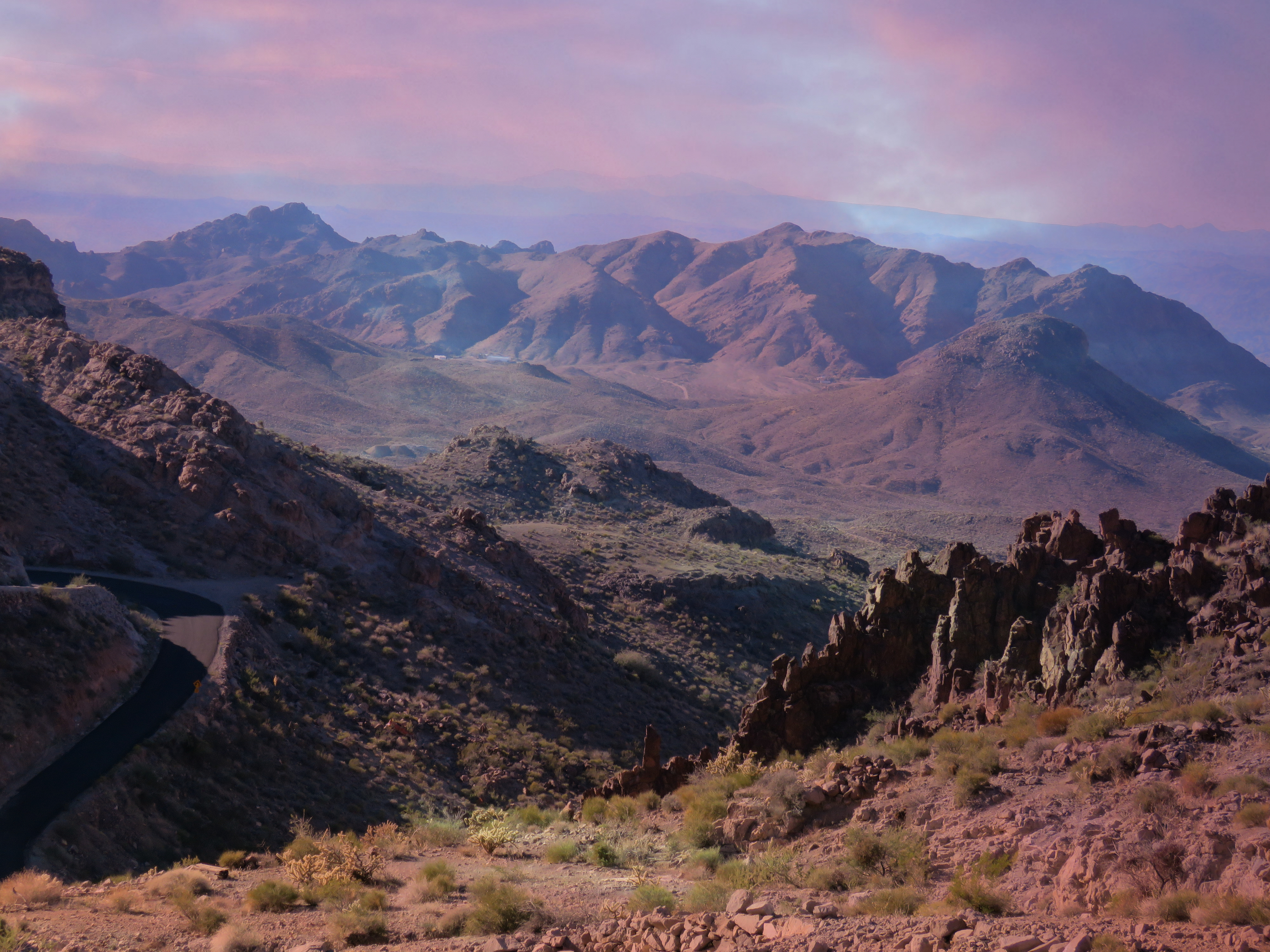
The road to Oatman #13

on target

The Crossing.
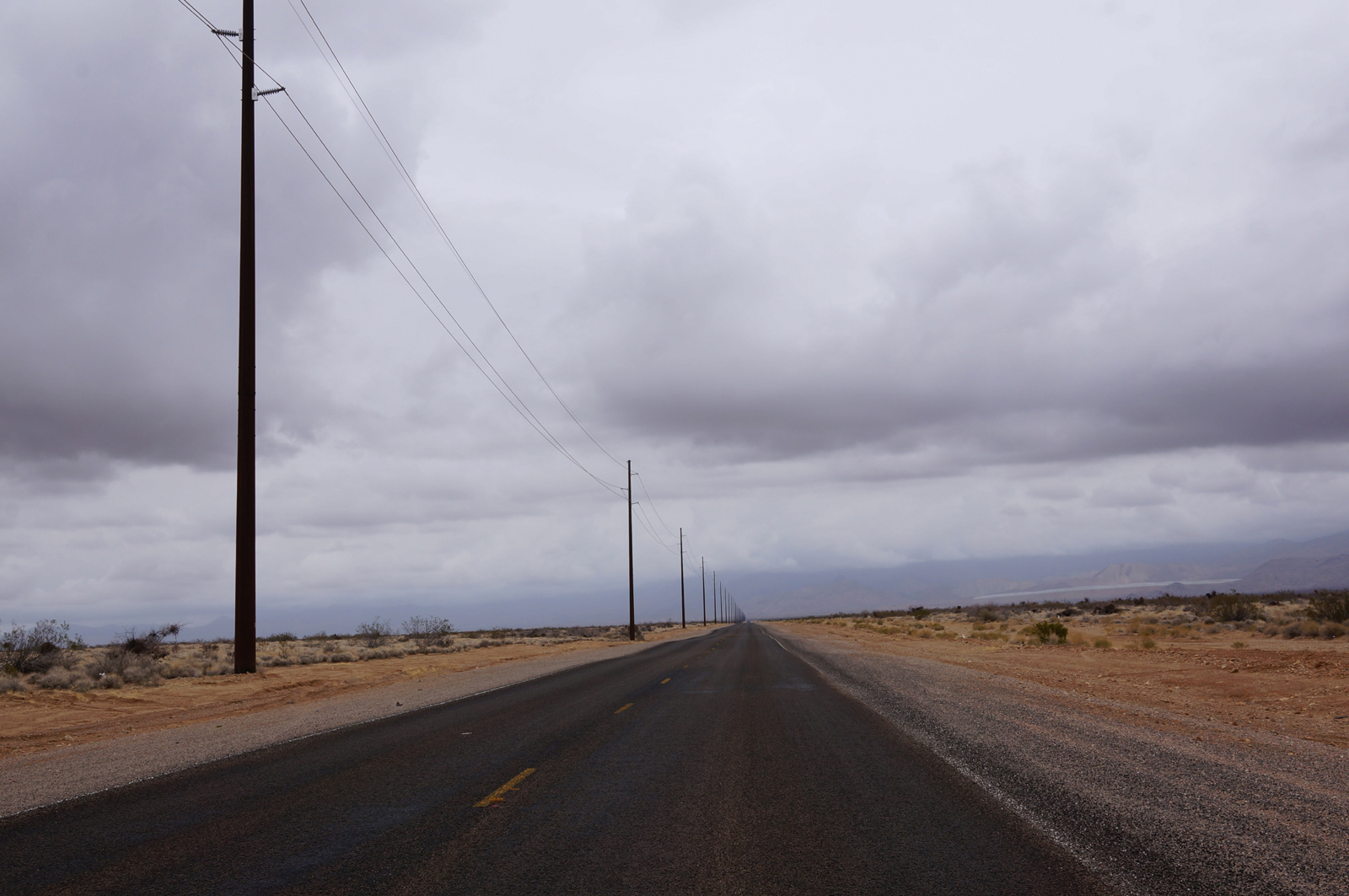
road to nowhere
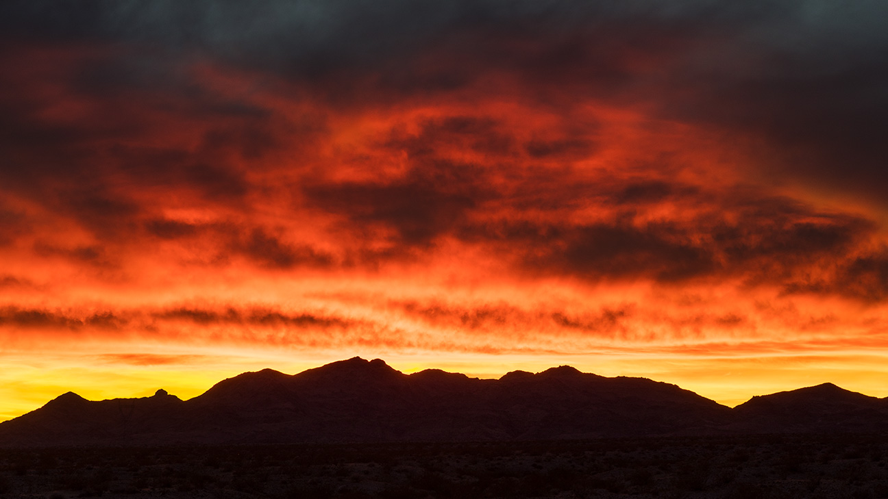
Sunset Inferno
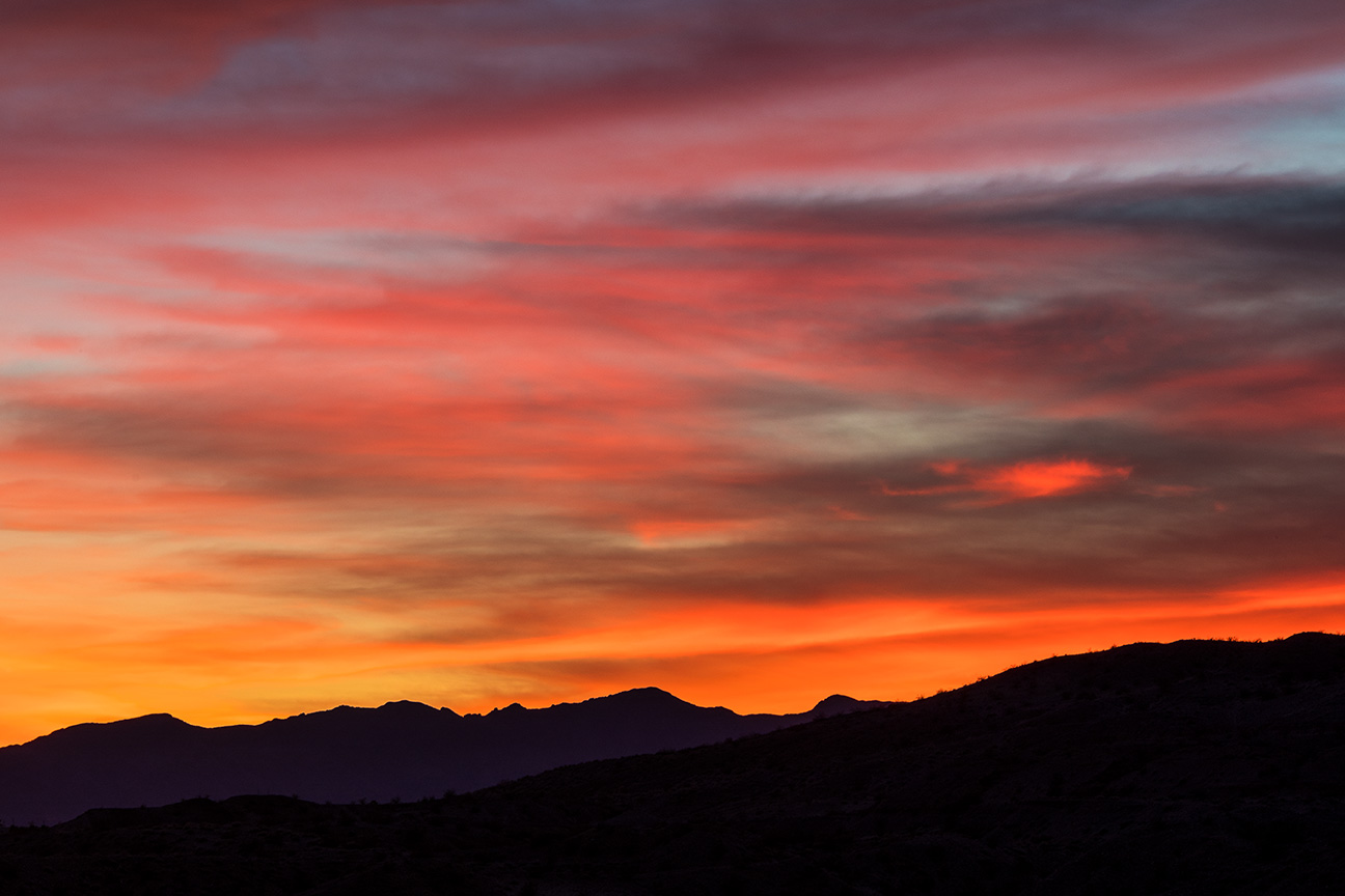
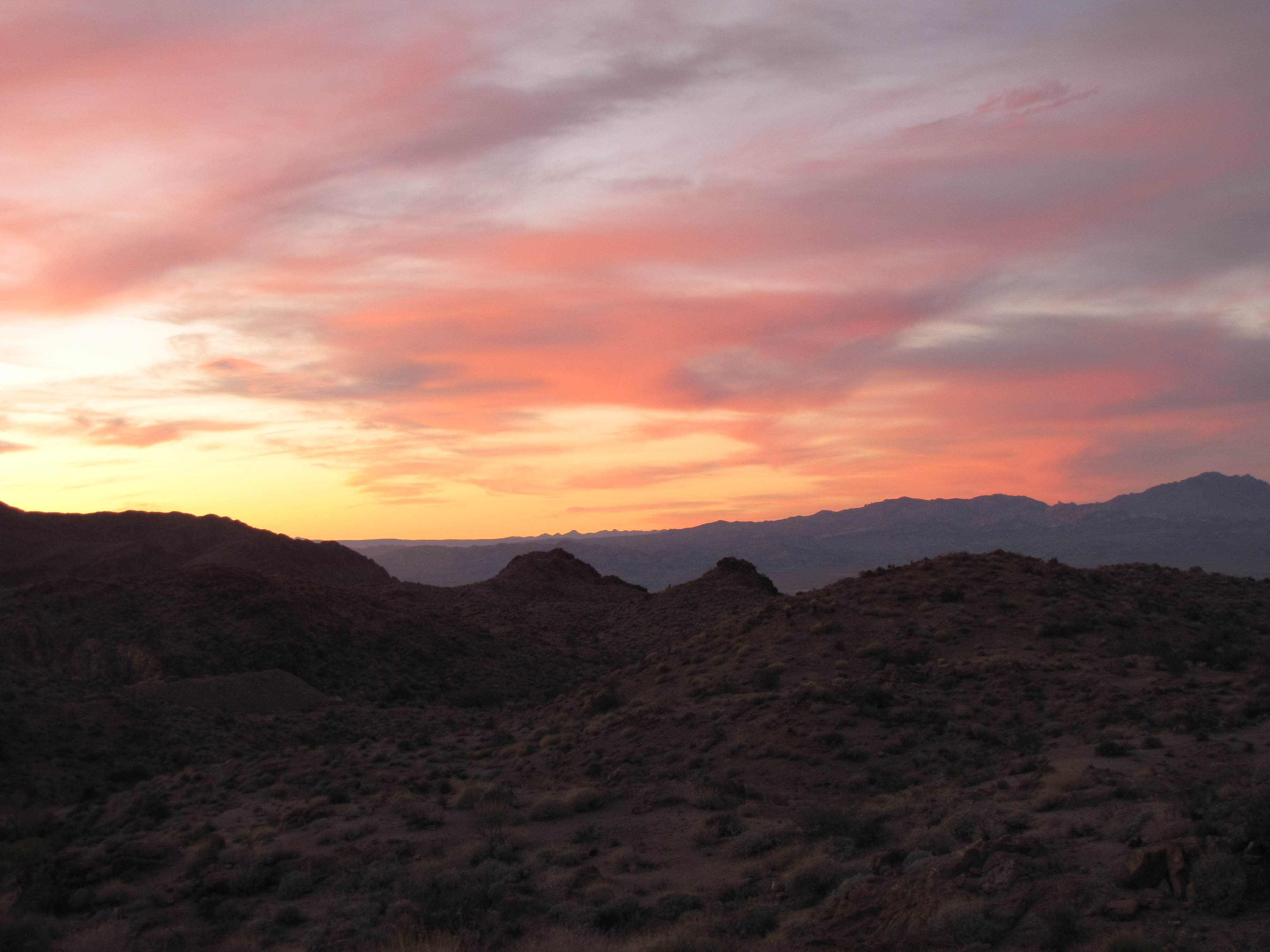
Pyramid Canyon Sunset

Laugling, Nevada
orange and read all over
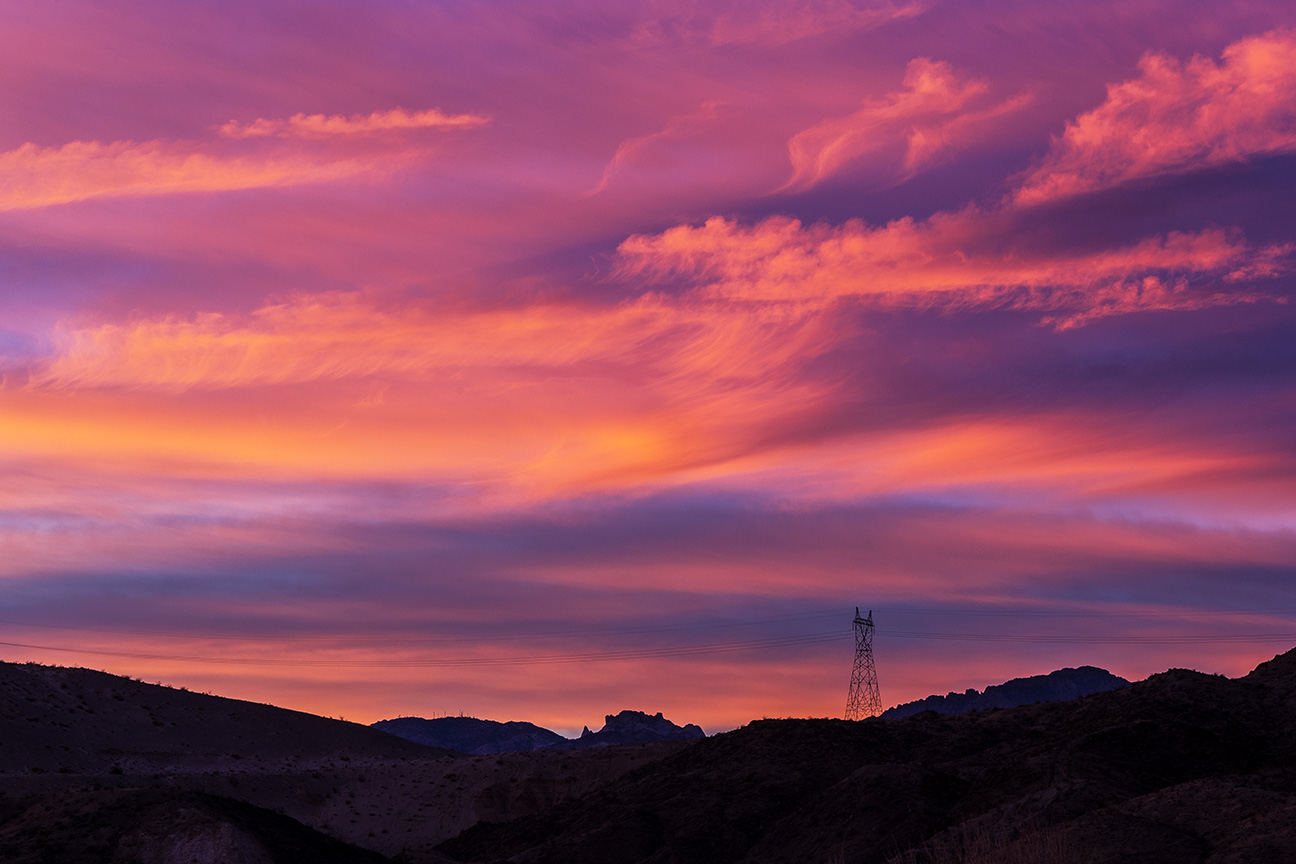
Power Line Sunset

IMGP1761.JPG

Colorado River from Golden Nugget Laughlin, Laughlin, Nevada

Colorado Bell, Laughlin, Nevada
Stay If You Can

Lightning over Lake Mohave - Lake Mead NRA, Mohave County, Arizona
Lone Guradian of Time!
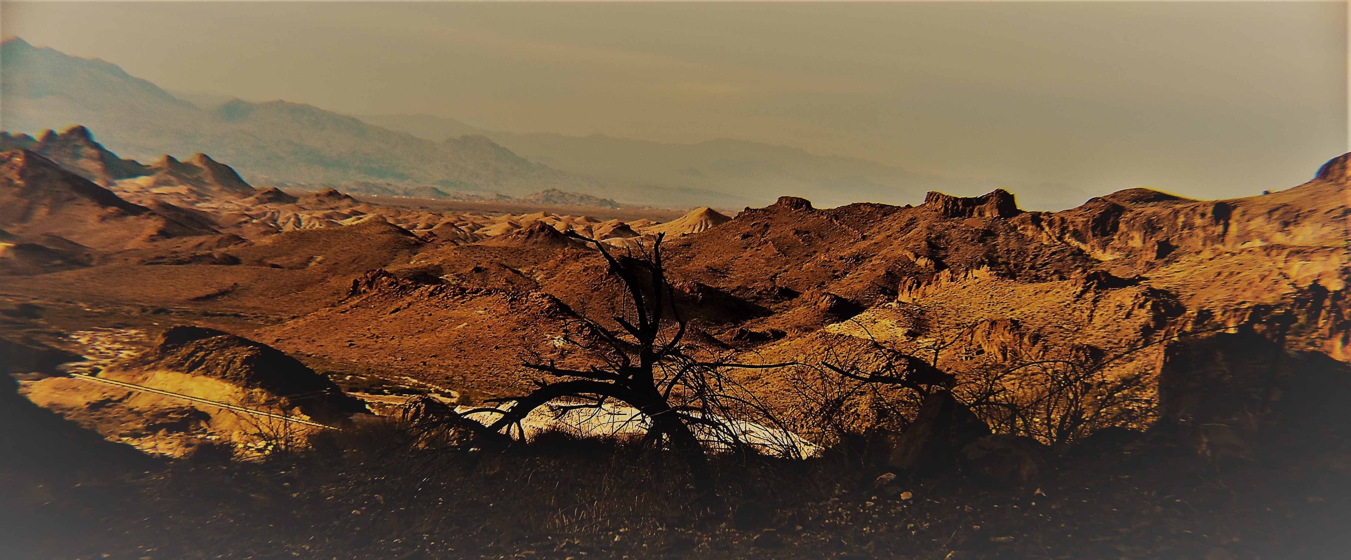
A look to the West
Topographic Map of Canyon Breeze Road, Canyon Breeze Rd, Bullhead City, AZ, USA
Find elevation by address:

Places near Canyon Breeze Road, Canyon Breeze Rd, Bullhead City, AZ, USA:
Bullhead City, AZ, USA
2349 Soaring Eagle Dr
2960 Silver Creek Rd
1716 El Cazador
2131 Joann Ave
2225 E Corwin Rd
1787 North Ave
North Avenue
3805 Nancy St
Clearwater Hills
3622 Terra Loma
3622 Terra Loma
1535 Jose Ave
2080 Jamie Rd
1605 Palma Rd
1396 Tuthill Ln
4413 Franklin St
2801 Fort Silver Dr
1300 Mirada Dr
4363 Los Maderos Dr
Recent Searches:
- Elevation of Corso Fratelli Cairoli, 35, Macerata MC, Italy
- Elevation of Tallevast Rd, Sarasota, FL, USA
- Elevation of 4th St E, Sonoma, CA, USA
- Elevation of Black Hollow Rd, Pennsdale, PA, USA
- Elevation of Oakland Ave, Williamsport, PA, USA
- Elevation of Pedrógão Grande, Portugal
- Elevation of Klee Dr, Martinsburg, WV, USA
- Elevation of Via Roma, Pieranica CR, Italy
- Elevation of Tavkvetili Mountain, Georgia
- Elevation of Hartfords Bluff Cir, Mt Pleasant, SC, USA