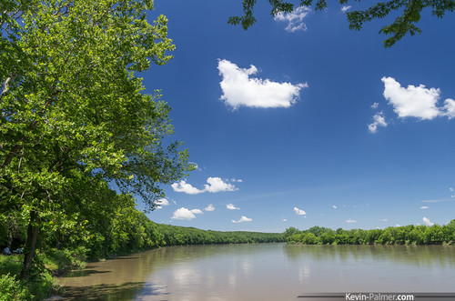
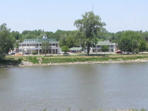
Elevation of Cantril, IA, USA
Location: United States > Iowa > Van Buren County > Jackson >
Longitude: -92.069899
Latitude: 40.6441959
Elevation: 238m / 781feet
Barometric Pressure: 98KPa
Related Photos:
Topographic Map of Cantril, IA, USA
Find elevation by address:

Places in Cantril, IA, USA:
Places near Cantril, IA, USA:
Division St, Cantril, IA, USA
Jackson
Old Fairgrounds
Milton
Union Township
Van Buren County
19696 County Rd 564
Scotland County
W Monroe St, Memphis, MO, USA
Memphis
Jefferson Township
Jackson St, South Gorin, MO, USA
South Gorin
Harrison Township
Davis County
M K Phillips Construction
Bloomfield
29681 County Rd 236
th St, Farmington, IA, USA
Clark County
Recent Searches:
- Elevation of Corso Fratelli Cairoli, 35, Macerata MC, Italy
- Elevation of Tallevast Rd, Sarasota, FL, USA
- Elevation of 4th St E, Sonoma, CA, USA
- Elevation of Black Hollow Rd, Pennsdale, PA, USA
- Elevation of Oakland Ave, Williamsport, PA, USA
- Elevation of Pedrógão Grande, Portugal
- Elevation of Klee Dr, Martinsburg, WV, USA
- Elevation of Via Roma, Pieranica CR, Italy
- Elevation of Tavkvetili Mountain, Georgia
- Elevation of Hartfords Bluff Cir, Mt Pleasant, SC, USA
