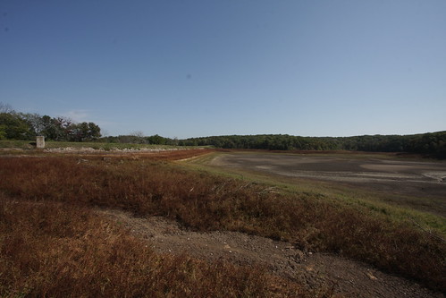
Elevation of Bloomfield, IA, USA
Location: United States > Iowa > Davis County > Fabius >
Longitude: -92.414907
Latitude: 40.7516884
Elevation: 267m / 876feet
Barometric Pressure: 98KPa
Related Photos:
Topographic Map of Bloomfield, IA, USA
Find elevation by address:

Places near Bloomfield, IA, USA:
Davis County
15340 276th St
Fabius
Milton
Old Fairgrounds
705 Park St
705 Park St
705 Park St
Schuyler County
Union Township
Jackson
Scotland County
19696 County Rd 564
Cantril
Division St, Cantril, IA, USA
Memphis
W Monroe St, Memphis, MO, USA
Jefferson Township
Greentop, MO, USA
Polk Township
Recent Searches:
- Elevation of Corso Fratelli Cairoli, 35, Macerata MC, Italy
- Elevation of Tallevast Rd, Sarasota, FL, USA
- Elevation of 4th St E, Sonoma, CA, USA
- Elevation of Black Hollow Rd, Pennsdale, PA, USA
- Elevation of Oakland Ave, Williamsport, PA, USA
- Elevation of Pedrógão Grande, Portugal
- Elevation of Klee Dr, Martinsburg, WV, USA
- Elevation of Via Roma, Pieranica CR, Italy
- Elevation of Tavkvetili Mountain, Georgia
- Elevation of Hartfords Bluff Cir, Mt Pleasant, SC, USA


