Elevation of Cannadays Gap Rd NE, Floyd, VA, USA

Location: United States > Virginia > Floyd County > Court House > Floyd >

Longitude: -80.216897

Latitude: 36.9335

Elevation: 760m / 2493feet

Barometric Pressure: 93KPa

Elevation Map:

elevation map of Cannadays Gap Rd NE, Floyd, VA, USA

Satellite Map:

Satellite map of Cannadays Gap Rd NE, Floyd, VA, USA

Related Photos:

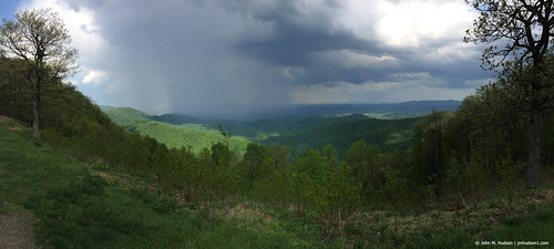
Rural View (M)
supershot ruralvirginia floydva saintbridge digitalagent loftcoffeeshop kenyuel scottcraigphotography
The Saint
2018 virginia spring iphone iphone6 rain storm weather clouds grouped commented favorited
2018.06.11.3186 Rock Castle Gorge
sky lake clouds canon reflections day newyearseve 60d pwpartlycloudy
Philpott Lake December 31
ruraldecay sepiatone ranchland floydvirginia floydcounty ruralvirginia canon50d saintbridge ruralrelics digitalagent kenyuel
Floyd County
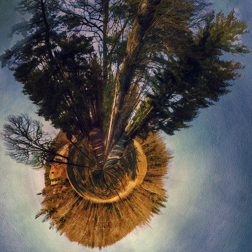
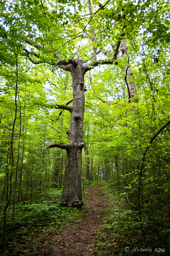
forest canon virginia pasture littleworld 60d polardistortion
Two Roads Diverged in a Wood
bw monochrome canon virginia motel 60d
Motor Hotel
Going Home
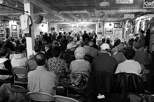
blueridgemountains floydcounty bluegrassjamboree canon50d saintbridge floydcountrystore digitalagent kenyuel
Jamboree @ The Floyd Country Store
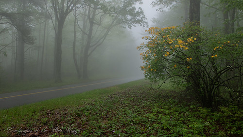
Flame in the Fog
Winter Road
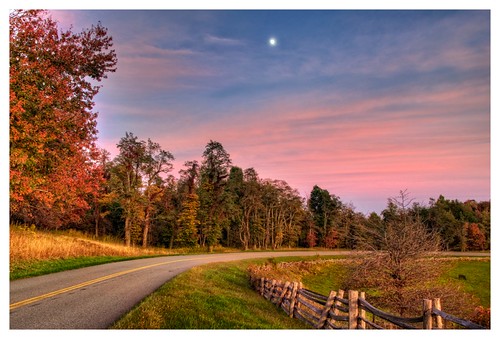
trees sunset sky color fall nature fence landscape photography virginia october n dramatic foliage hdr blueridgeparkway d90 gyawali
Fall is here !!
truck sunrise canon restaurant early spring woods pickup hdr 60d tugglesgap
Ham & Eggs (and a biscuit with sausage gravy)
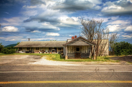
canon virginia motel hdr 60d
Motor Hotel
floyd virginia unitedstates us buffalomountain
BUFFALO MOUNTAIN
3036 A Right Smart View Img_14197
blueridgeheritagearea blueridgemountains blueridgeparkway usa va virginia
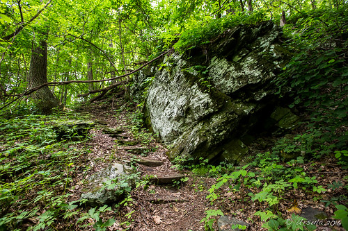
VA Woods 1673
roanoke parkway blueridgeparkway blueridge 2014
View from Pine Spur overlook
blueridgeheritagearea blueridgemountains blueridgeparkway usa va virginia walk smartviewlooptrail
VA Woods 1660
blueridgeheritagearea blueridgemountains blueridgeparkway usa va virginia
VA Woods 1669
2013 mountains travel afternoon clear evening air architecture car cars dusk forest highway house home landscape nature outdoor sky skyline spring sunny sunset trees woods 2014 tree virginia day views
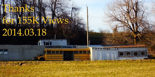
2014.03.18 155K Views
barn landscapes barns blueridgeparkway southwestvirginia structuresbuildings theblueridgeparkway barnssilos 1802000mmf3556 oldbarnsfarmsequipment barnsshedsandotherrusticbuildings
PARKWAY BARN
devils backbone overlook blue ridge parkway virginia
Devil's Backbone Overlook
smart view trails cabin overlook blue ridge parkway virginia
Trails Cabin Overlook
floyd blueridgemountains
Nice view from floyd
church architecture gothic monastery syonabbey
1433 Syon Abbey - View from Tower Roof
virginia skies fences sunsets roads thelongandwindingroad sunrisesandsunsets southwestvirginia landscapebeauty travelingwithoutmoving landscapeviews onlylandscapesandsunset streetsandroadsoftheworld justonerule magicalskies landscapeseascapeskyscape exquisiteclouds areyoudreamingmymemory beautifulskyscenes planetearthsunrisesunsets cherishyourdreams travelinglens groupreflectionsofpassion
THE WAY HOME
patrickcounty virginia agriculture country pasture field farm rural trees hill slant slope tinroof structure building barn abandoned decay deterioration neglect landscape
Patrick County Barn 3
blueridgeparkway virginia pinespuroverlook
Blue Ridge Parkway.
blue mountains virginia landscapes blueridgeparkway hillsandmountains bluemagic mywinners theblueridgeparkway 1802000mmf3556 bestoftheblues absolutelyperrrfect smokyandblueridgemountains
PARKWAY BLUES
virginia blueridgeparkway
Blue Ridge Parkway.
RAKES MILL POND
trees monochrome landscapes photoart treemendous myartisticcreations bwsmonochromes monosepia spartacuseyeswithoutchains afsdxvrzoomnikkor18200mmf3556gifedii digitalartistsphotoart
SOLITARY TREE - ANTIQUED
PASTURE TRACKS
square squareformat iphoneography instagramapp uploaded:by=instagram
The Appalachian Trail + The Shenandoah Valley + The Blue Ridge Mountains = A Chocolate Mousse for the Soul.
AFTERNOON STROLL
HOPE ROAD