Elevation of Cane Branch Rd, Loris, SC, USA
| Latitude | 33.9642866 |
|---|---|
| Longitude | -78.932365 |
| Elevation | 16m / 52feet |
| Barometric Pressure | 1011KPa |
Related Photos:
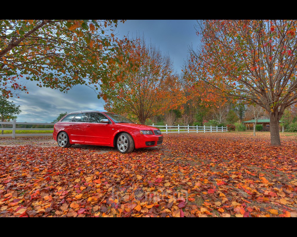
there came a rustling in the leaves...
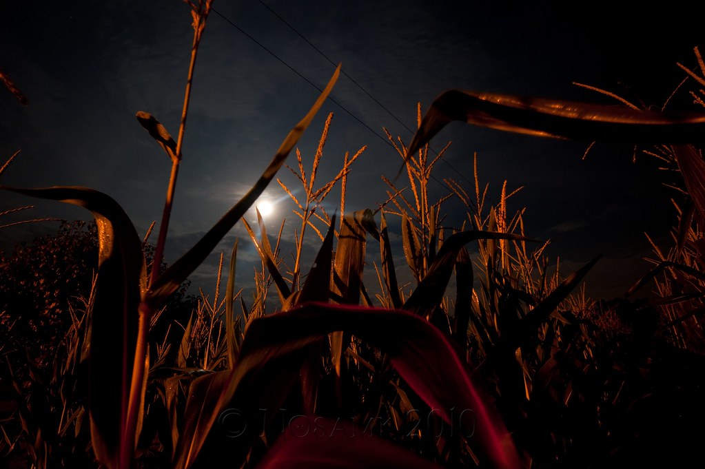
midnight in the corn field

rusty pole

spring blooms

blue iris
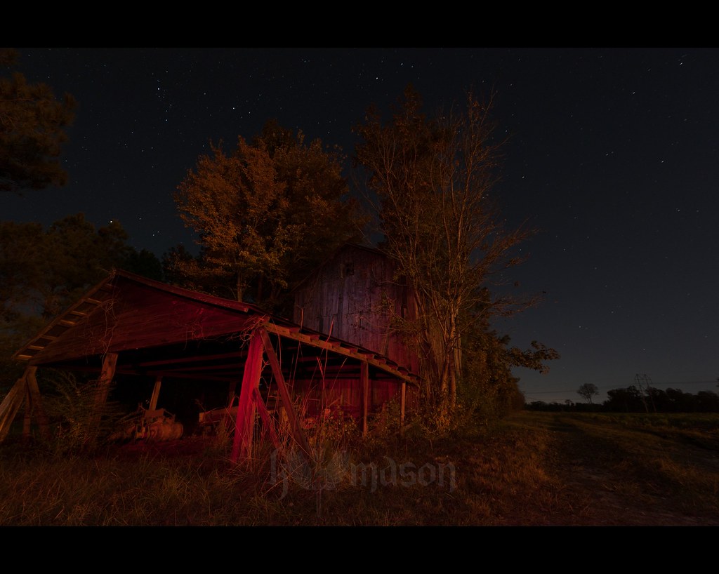
abandoned barn on a starry night
It Lies Beneath

children of the corn
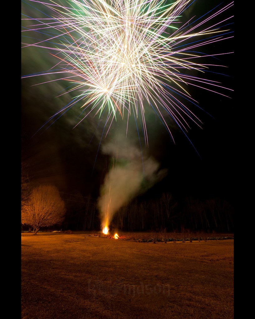
Happy New Year!

Nose Knows
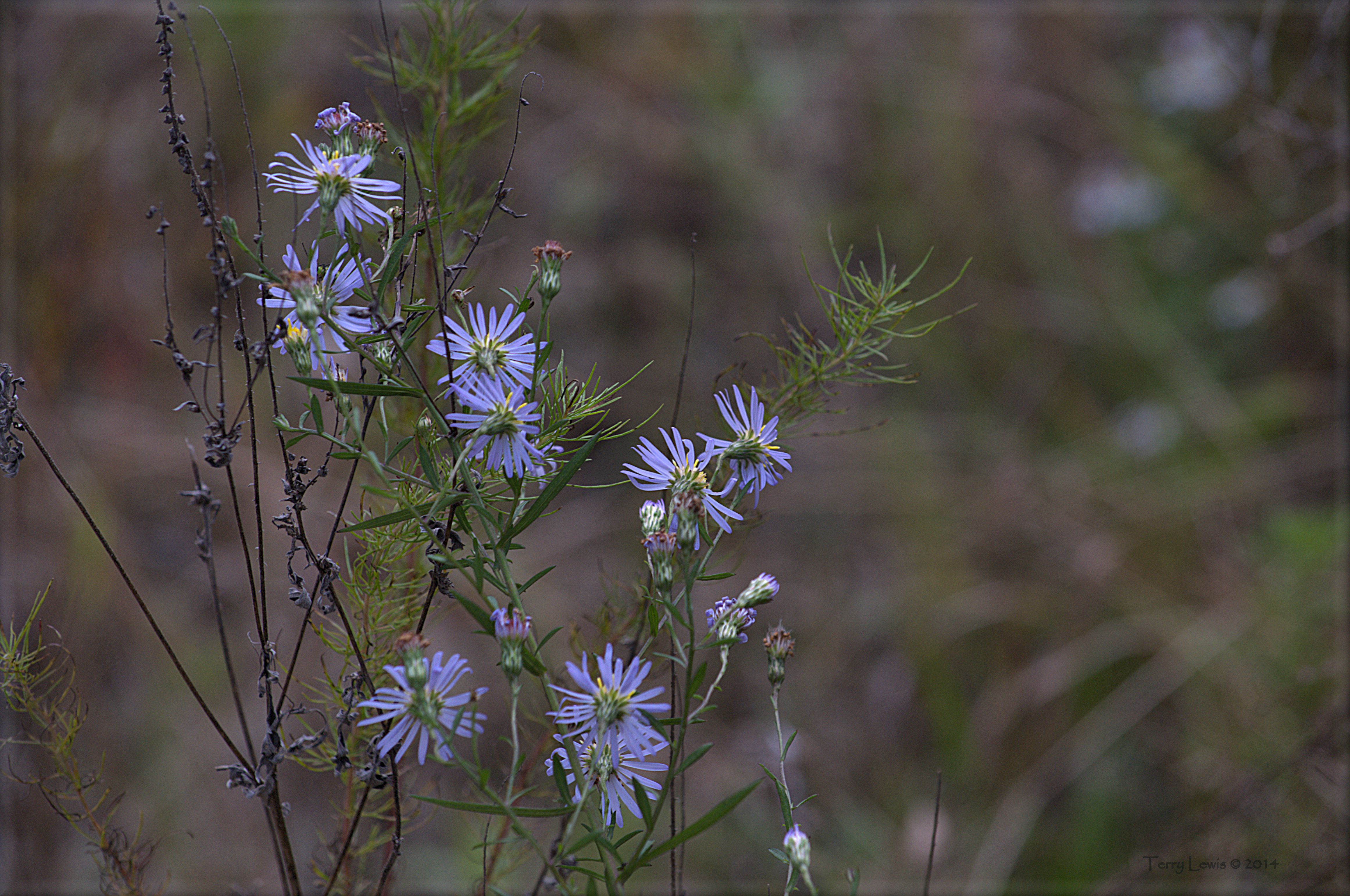
Autumn Wildflower 1

LK_20110415_0008-sm-2
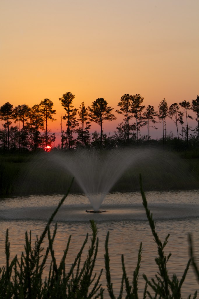
Memorial Day Sunset

Twin City Airport-Runway 8
Topographic Map of Cane Branch Rd, Loris, SC, USA
Find elevation by address:
Places near Cane Branch Rd, Loris, SC, USA:
3000 Sc-19
Cane Branch Road
6798 Pinehaven Ln
3193 Gause Rd
3336 Old Savannah Ln
6801 Pinehaven Ln
6801 Pinehaven Ln
6801 Pinehaven Ln
1528 Hwy 139
2100 Sc-19
1518 Hwy 139
1424 Porter Ln
Southern Crest Drive
1819 Southern Crest Dr
881 Gold Rush Ct
1416 Daisy Rd
1292 Daisy Rd
Old Irish Road
Cherry Hill Road
Mcnabb Short Cut Road
Recent Searches:
- Elevation of 104, Chancery Road, Middletown Township, Bucks County, Pennsylvania, 19047, USA
- Elevation of 1212, Cypress Lane, Dayton, Liberty County, Texas, 77535, USA
- Elevation map of Central Hungary, Hungary
- Elevation map of Pest, Central Hungary, Hungary
- Elevation of Pilisszentkereszt, Pest, Central Hungary, Hungary
- Elevation of Dharamkot Tahsil, Punjab, India
- Elevation of Bhinder Khurd, Dharamkot Tahsil, Punjab, India
- Elevation of 2881, Chabot Drive, San Bruno, San Mateo County, California, 94066, USA
- Elevation of 10370, West 107th Circle, Westminster, Jefferson County, Colorado, 80021, USA
- Elevation of 611, Roman Road, Old Ford, Bow, London, England, E3 2RW, United Kingdom
- Elevation of 116, Beartown Road, Underhill, Chittenden County, Vermont, 05489, USA
- Elevation of Window Rock, Colfax County, New Mexico, 87714, USA
- Elevation of 4807, Rosecroft Street, Kempsville Gardens, Virginia Beach, Virginia, 23464, USA
- Elevation map of Matawinie, Quebec, Canada
- Elevation of Sainte-Émélie-de-l'Énergie, Matawinie, Quebec, Canada
- Elevation of Rue du Pont, Sainte-Émélie-de-l'Énergie, Matawinie, Quebec, J0K2K0, Canada
- Elevation of 8, Rue de Bécancour, Blainville, Thérèse-De Blainville, Quebec, J7B1N2, Canada
- Elevation of Wilmot Court North, 163, University Avenue West, Northdale, Waterloo, Region of Waterloo, Ontario, N2L6B6, Canada
- Elevation map of Panamá Province, Panama
- Elevation of Balboa, Panamá Province, Panama