Elevation of Campo Lugar, Cáceres, Spain
Location: Spain > Extremadura > Cáceres >
Longitude: -5.7734377
Latitude: 39.1947059
Elevation: 300m / 984feet
Barometric Pressure: 98KPa
Elevation Map:
Satellite Map:
Related Photos:
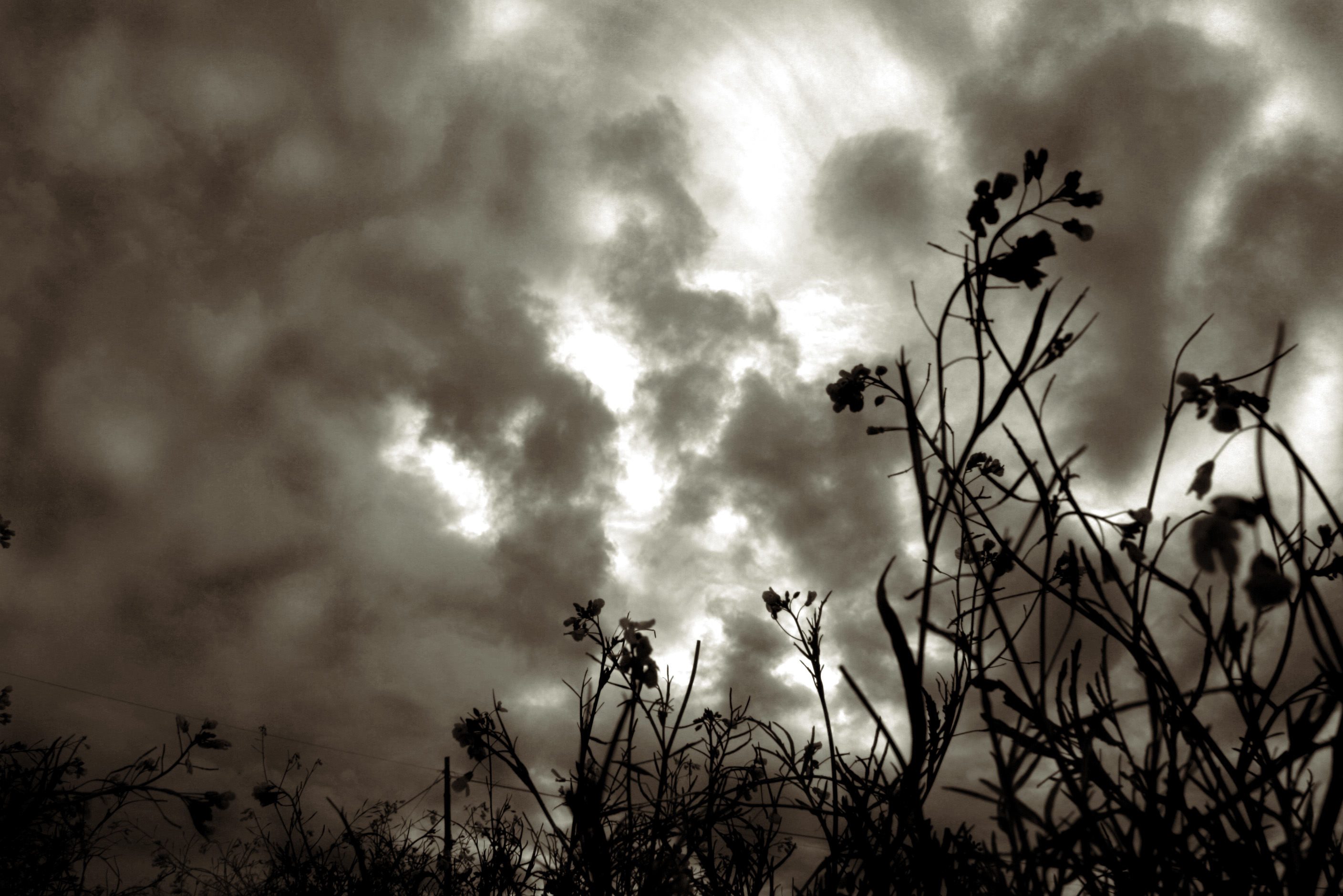
Tormenta...?

Sundown over a cross in Miajadas

EC-GRC

Semi_Pan Charca Mirador 05 2016
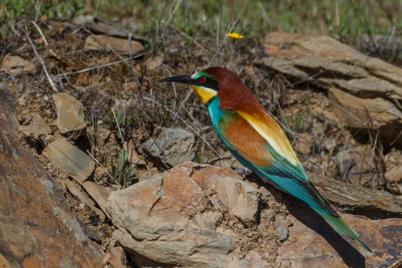
abejaruco europeo (merops apiaster) 3
Topographic Map of Campo Lugar, Cáceres, Spain
Find elevation by address:

Places in Campo Lugar, Cáceres, Spain:
Places near Campo Lugar, Cáceres, Spain:
Calle San Juan, 10, Campo Lugar, Cáceres, Spain
Poligono Diecinueve, Escurial, Cáceres, Spain
Av. de la Libertad, 23, Villamesías, Cáceres, Spain
Villamesías
Escurial
Ctra. de Miajadas-Casa, 16, Miajadas, Cáceres, Spain
Villamesías
Campo Municipal De Fútbol De Miajadas
Miajadas
Diseminado Ventosa, 4, Miajadas, Cáceres, Spain
Santa Cruz De La Sierra
Camino Valdivia, 12, Villanueva de la Serena, Badajoz, Spain
Villanueva De La Serena
Entrerríos
Ctra. Entrerríos, 1, Villanueva de la Serena, Badajoz, Spain
Plaza España, 29, Entrerríos, Badajoz, Spain
Diseminado la Isla, 19, Don Benito, Badajoz, Spain
Diseminado Tordo, Don Benito, Badajoz, Spain
Diseminado Pontezuela, 6, Badajoz, Spain
Villanueva De La Serena
Recent Searches:
- Elevation of Corso Fratelli Cairoli, 35, Macerata MC, Italy
- Elevation of Tallevast Rd, Sarasota, FL, USA
- Elevation of 4th St E, Sonoma, CA, USA
- Elevation of Black Hollow Rd, Pennsdale, PA, USA
- Elevation of Oakland Ave, Williamsport, PA, USA
- Elevation of Pedrógão Grande, Portugal
- Elevation of Klee Dr, Martinsburg, WV, USA
- Elevation of Via Roma, Pieranica CR, Italy
- Elevation of Tavkvetili Mountain, Georgia
- Elevation of Hartfords Bluff Cir, Mt Pleasant, SC, USA