Elevation of Av. de la Libertad, 23, Villamesías, Cáceres, Spain
Location: Spain > Extremadura > Cáceres > Villamesías > Villamesías >
Longitude: -5.87292
Latitude: 39.2447
Elevation: 364m / 1194feet
Barometric Pressure: 97KPa
Elevation Map:
Satellite Map:
Related Photos:
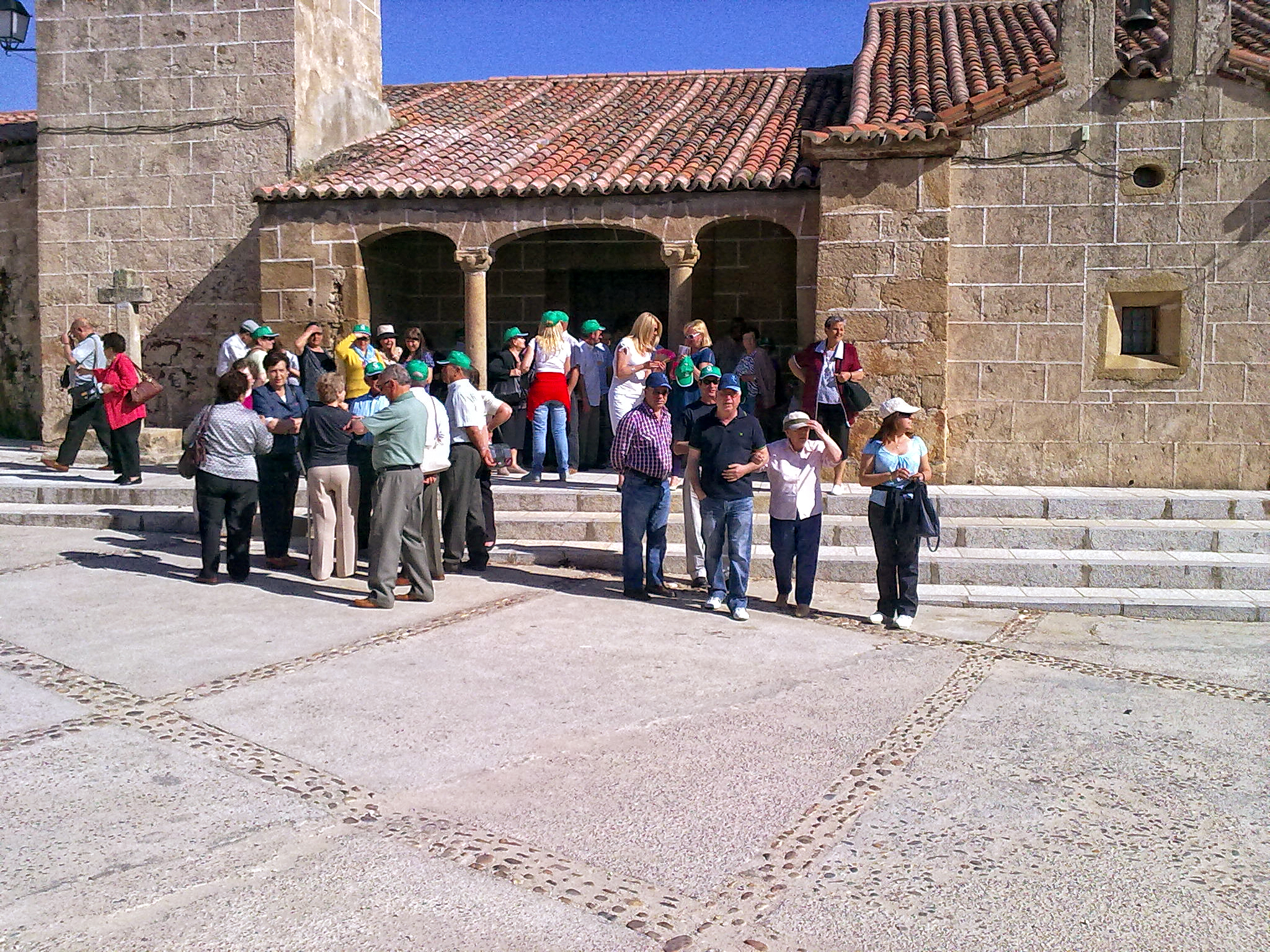
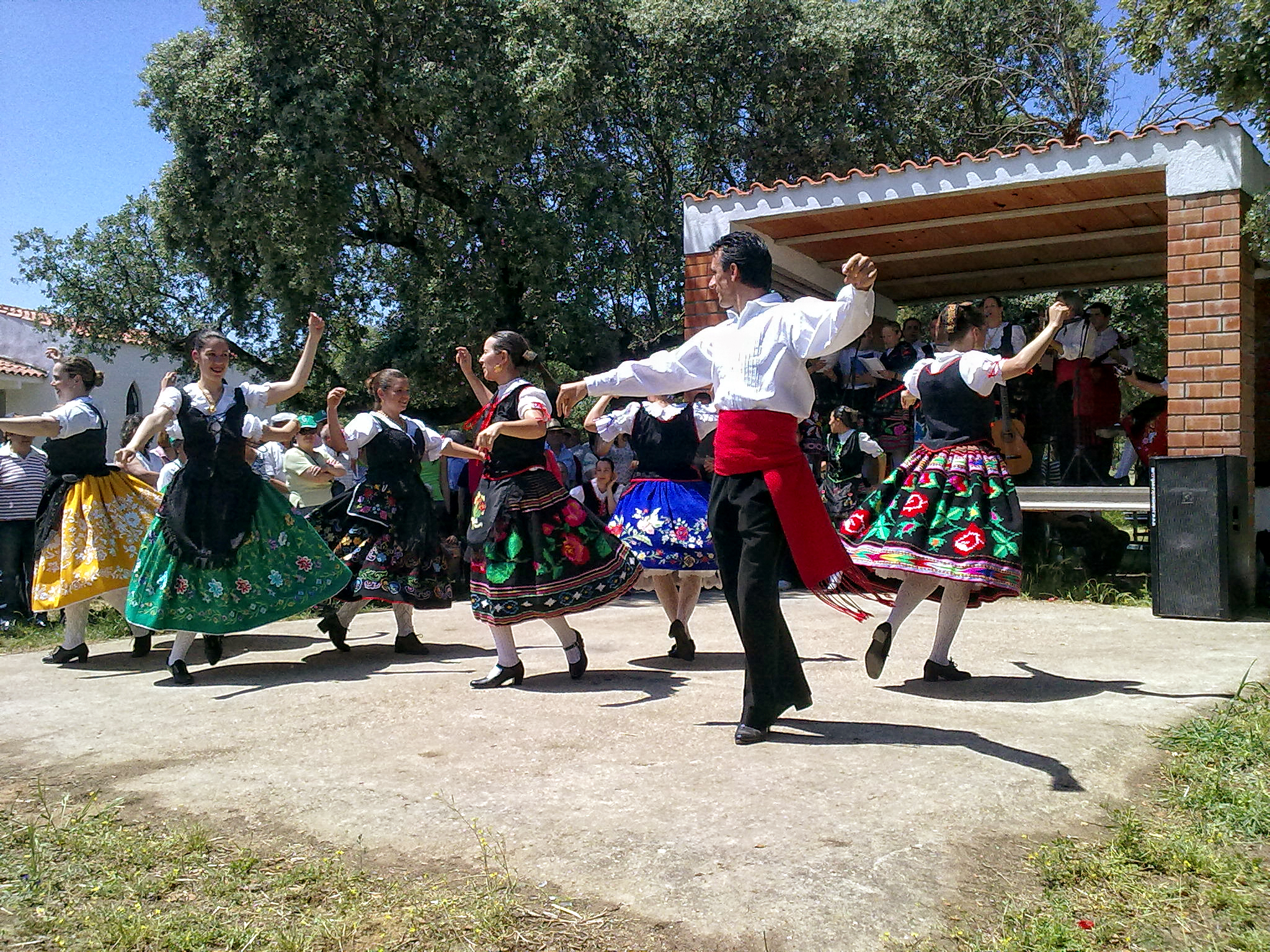
Hermanamiento 01
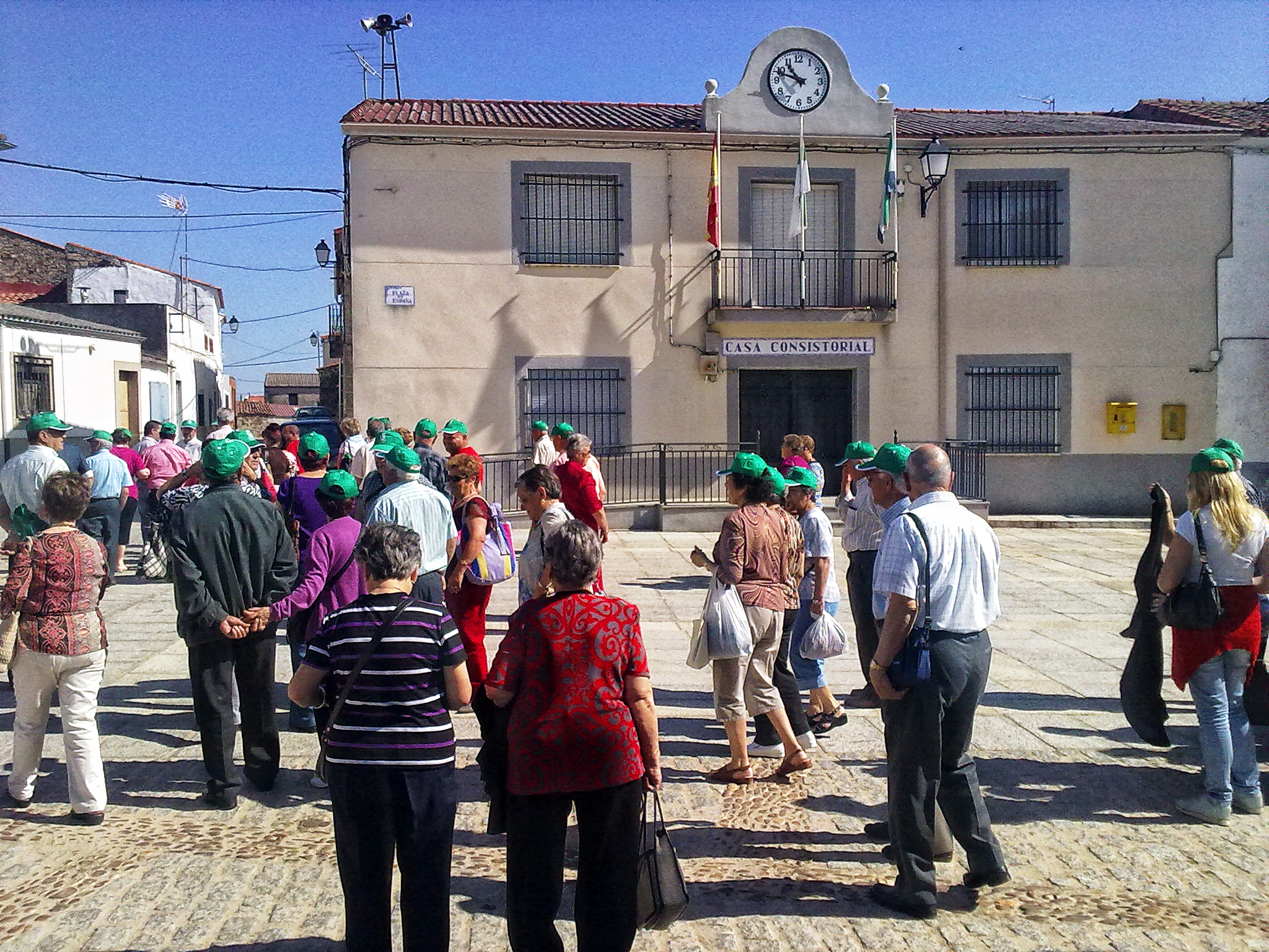
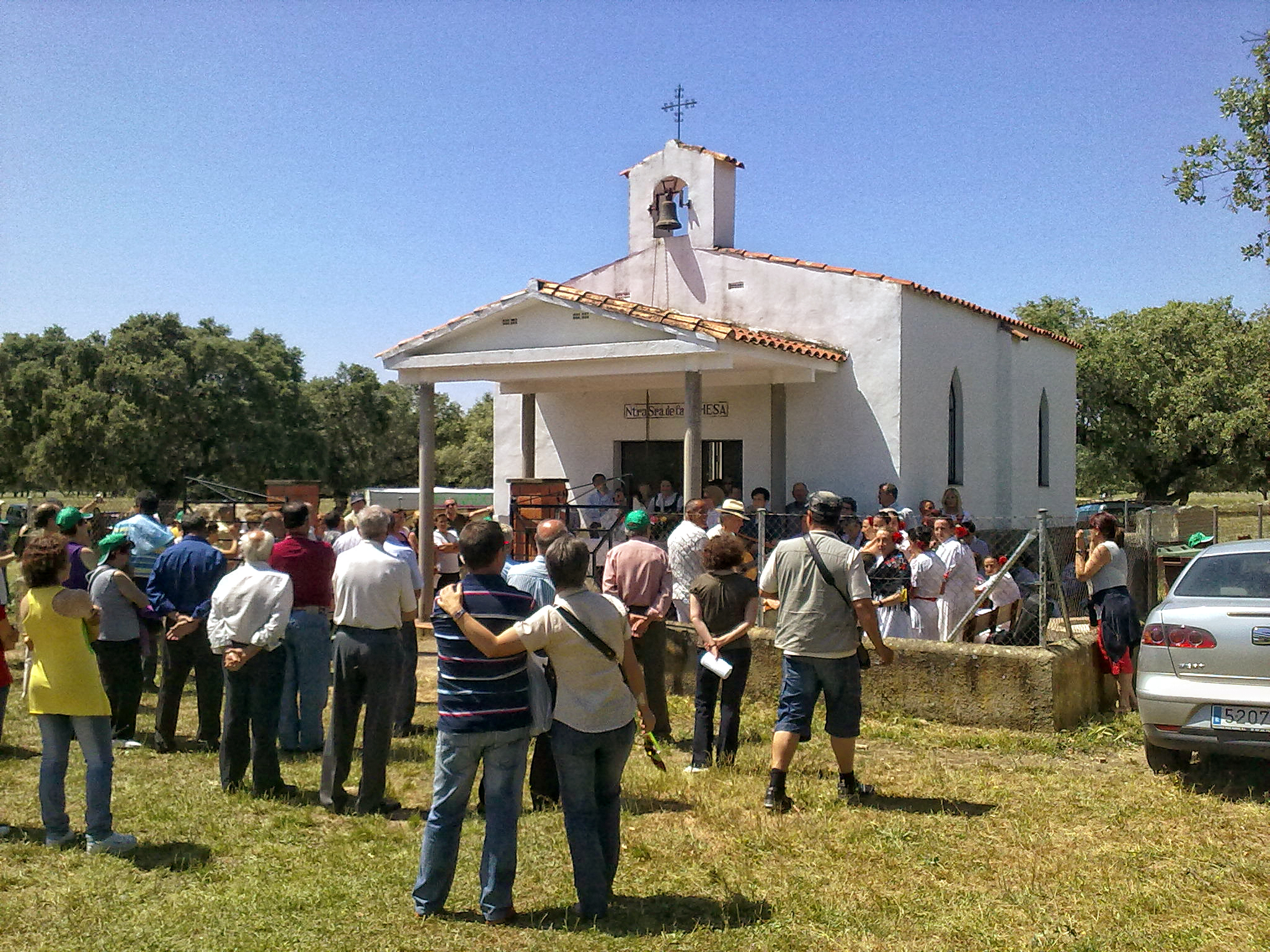
Hermanamiento 02
Hermanamiento 07
Hermanamiento 08
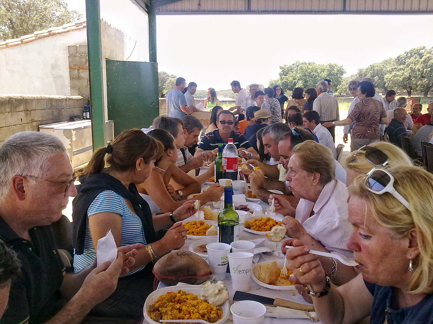
Hermanamiento 04
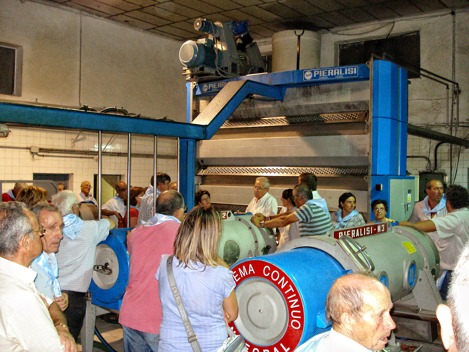
Hermanamiento 03
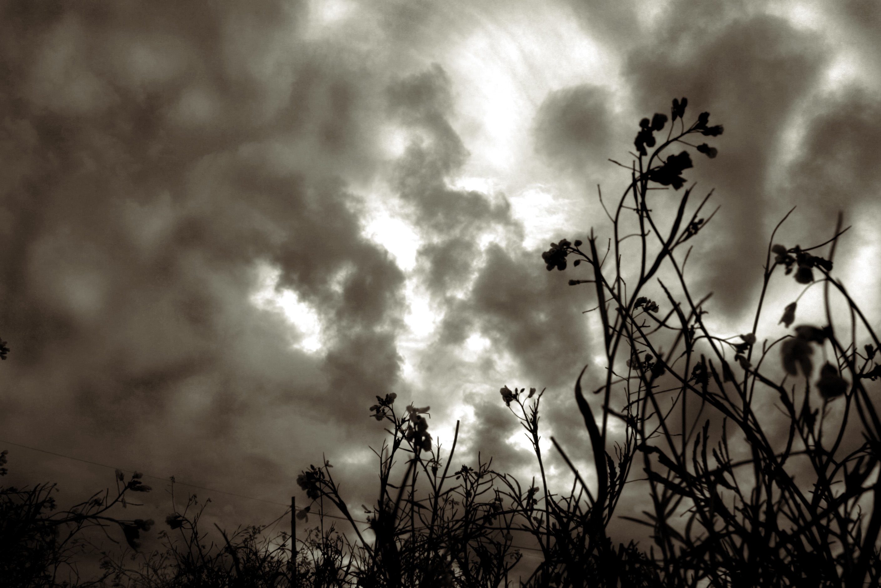
Tormenta...?
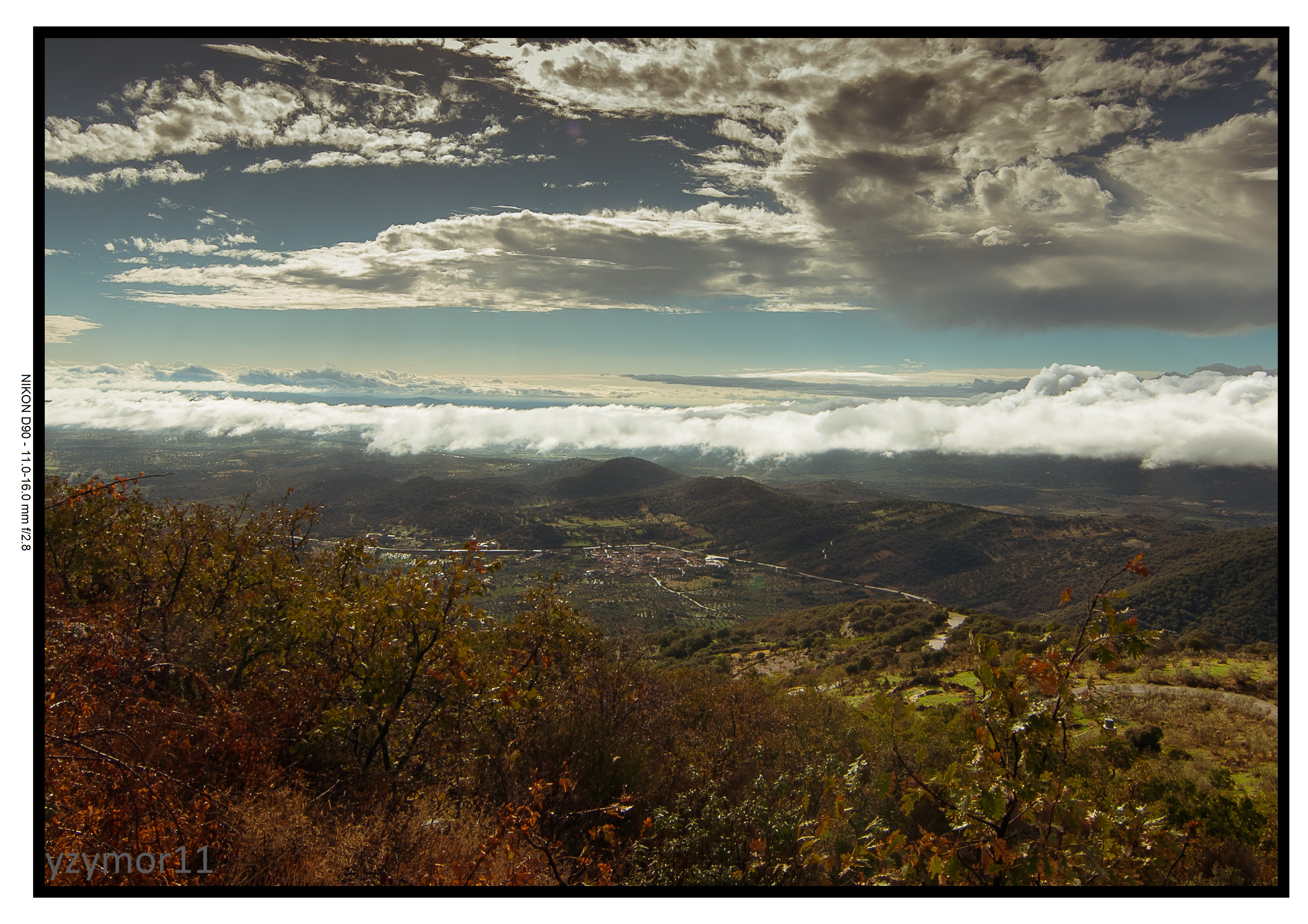
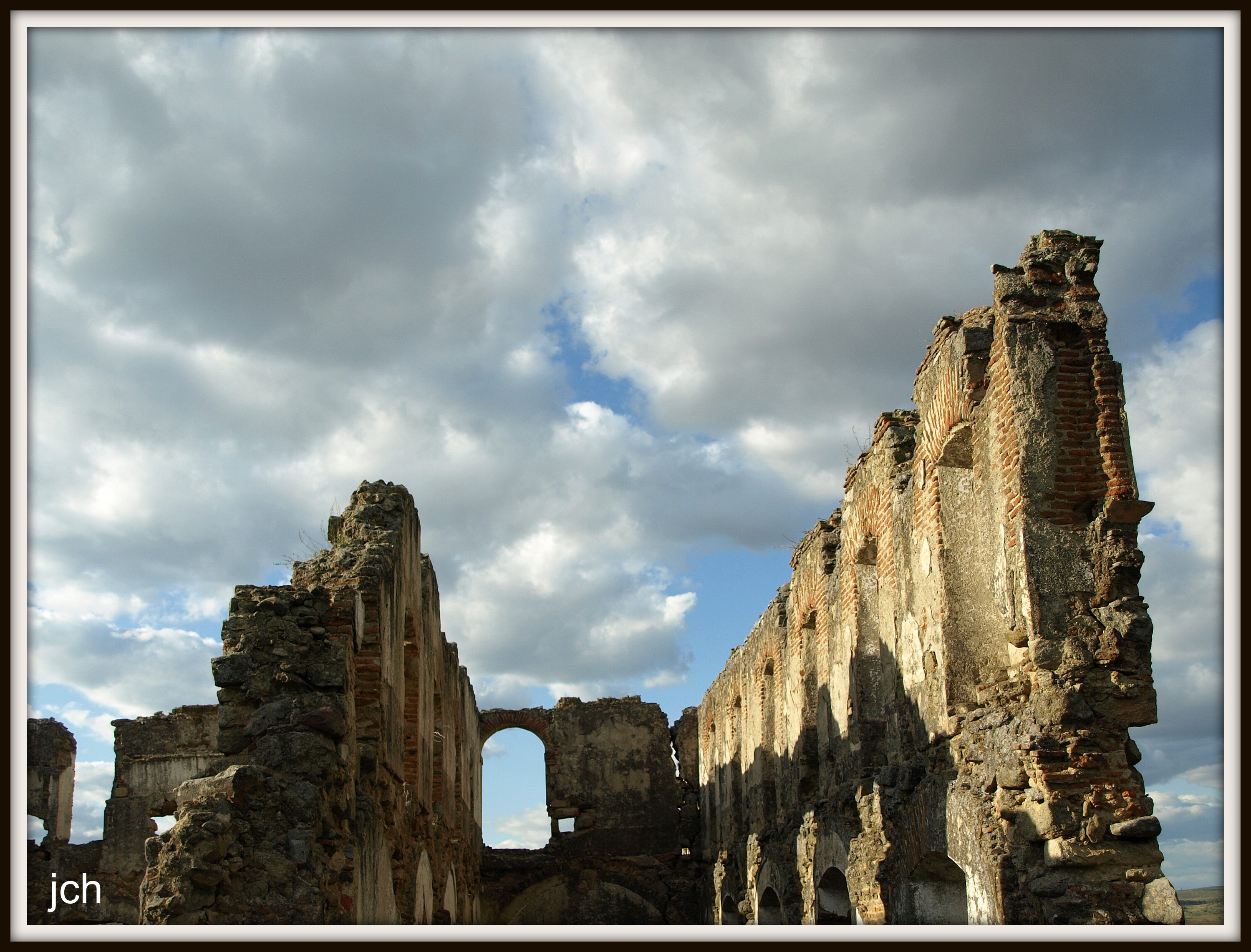
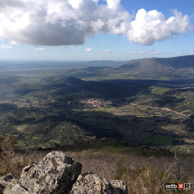
Panorámica
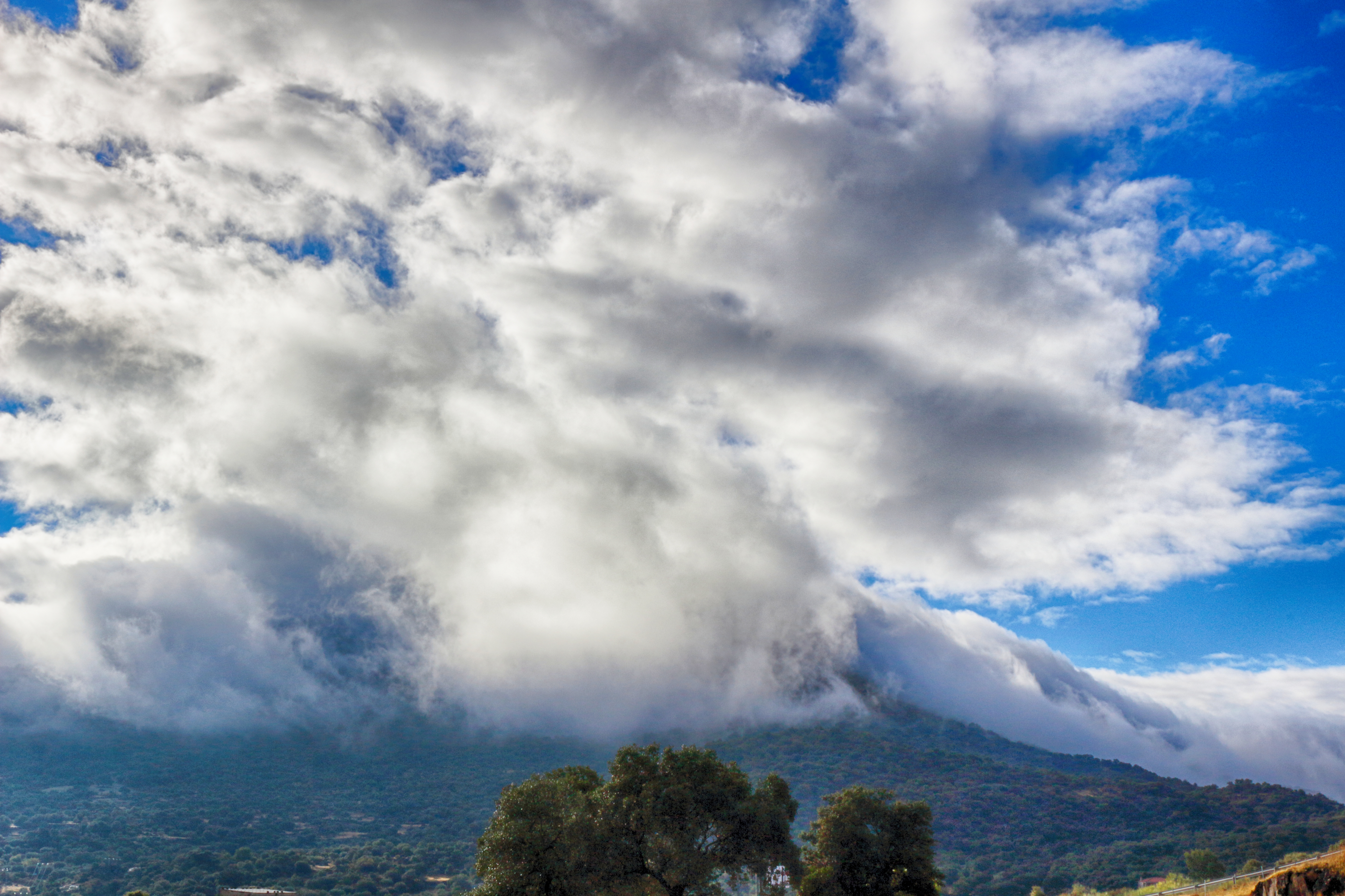
Impresionante nube
20090411 Santa Cruz de la Sierra (3101)
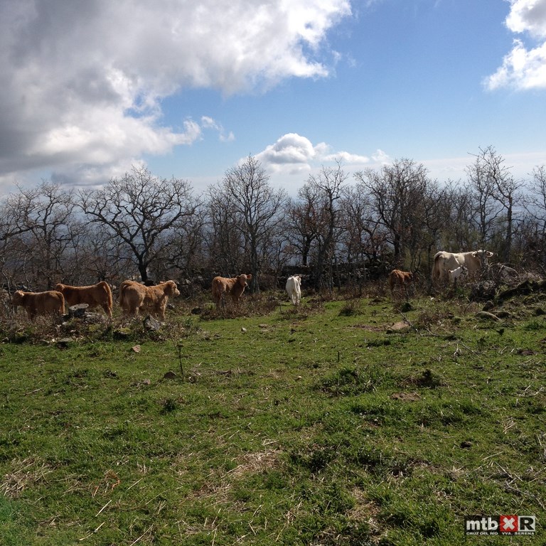
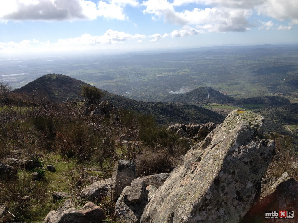
Desafio Montanchez 2014
Desafio Montanchez 2014
Desafio Montanchez 2014
Desafio Montanchez 2014
Desafio Montanchez 2014
Desafio Montanchez 2014
Desafio Montanchez 2014
Topographic Map of Av. de la Libertad, 23, Villamesías, Cáceres, Spain
Find elevation by address:

Places near Av. de la Libertad, 23, Villamesías, Cáceres, Spain:
Villamesías
Villamesías
Poligono Diecinueve, Escurial, Cáceres, Spain
Escurial
Santa Cruz De La Sierra
Miajadas
Campo Municipal De Fútbol De Miajadas
Ctra. de Miajadas-Casa, 16, Miajadas, Cáceres, Spain
Campo Lugar
Calle San Juan, 10, Campo Lugar, Cáceres, Spain
Diseminado Ventosa, 4, Miajadas, Cáceres, Spain
Diseminado Canchales Bajos, 35, Miajadas, Cáceres, Spain
Diseminado Canchales Altos, 32, Miajadas, Cáceres, Spain
Diseminado Canchales Bajos, Miajadas, Cáceres, Spain
Diseminado la Isla, 19, Don Benito, Badajoz, Spain
Diseminado Tordo, Don Benito, Badajoz, Spain
Santa Amalia
Ctra. Entrerríos, 1, Villanueva de la Serena, Badajoz, Spain
Montánchez
Villanueva De La Serena
Recent Searches:
- Elevation of Corso Fratelli Cairoli, 35, Macerata MC, Italy
- Elevation of Tallevast Rd, Sarasota, FL, USA
- Elevation of 4th St E, Sonoma, CA, USA
- Elevation of Black Hollow Rd, Pennsdale, PA, USA
- Elevation of Oakland Ave, Williamsport, PA, USA
- Elevation of Pedrógão Grande, Portugal
- Elevation of Klee Dr, Martinsburg, WV, USA
- Elevation of Via Roma, Pieranica CR, Italy
- Elevation of Tavkvetili Mountain, Georgia
- Elevation of Hartfords Bluff Cir, Mt Pleasant, SC, USA