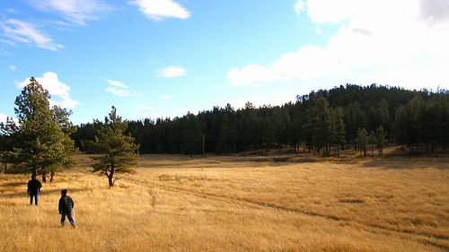
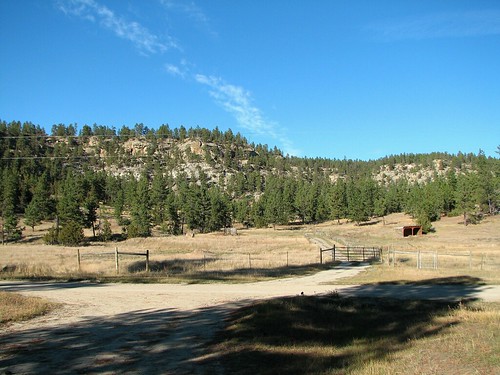
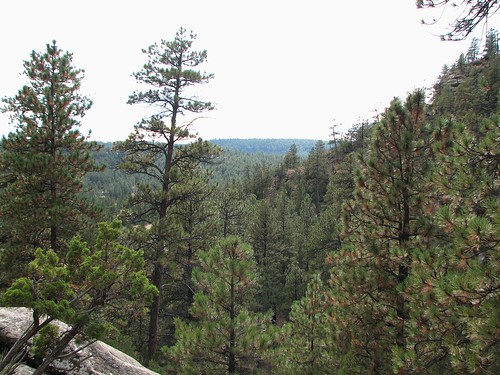
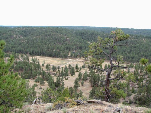
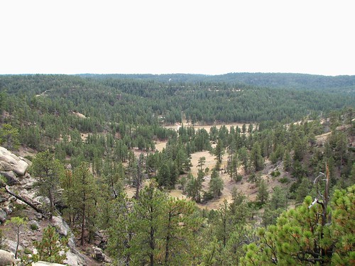
Elevation of Camp Three, MT, USA
Location: United States > Montana > Musselshell County >
Longitude: -108.56485
Latitude: 46.4407972
Elevation: 982m / 3222feet
Barometric Pressure: 90KPa
Related Photos:
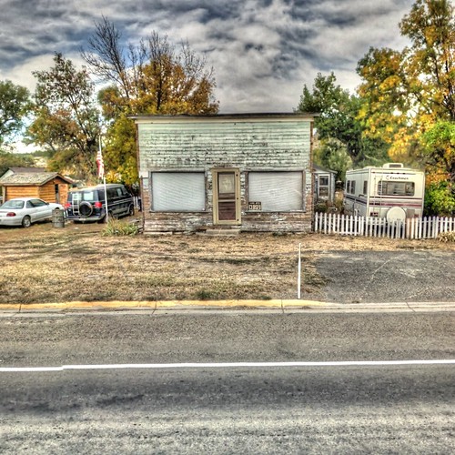
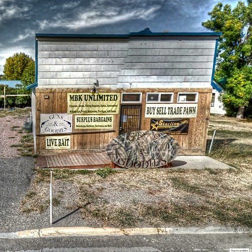
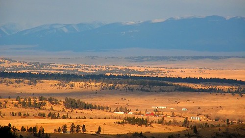
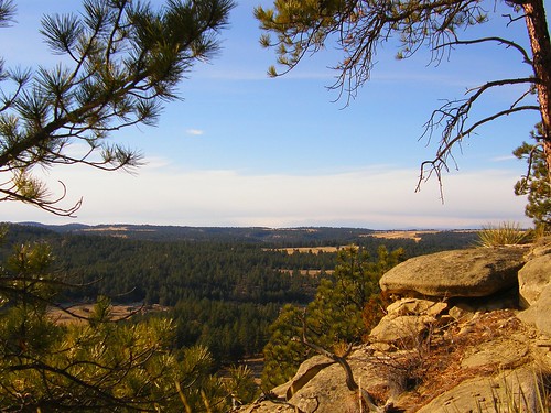
Topographic Map of Camp Three, MT, USA
Find elevation by address:

Places near Camp Three, MT, USA:
Roundup
Number 4 Rd & 2nd Ave
Roundup, MT, USA
45 Winchester Dr
45 Winchester Dr
45 Winchester Dr
2 Winchester Dr
67 Winchester Dr
85 Winchester Dr
27 Denali Cabin Ln
9 Bender Rd
US-12, Roundup, MT, USA
Musselshell County
1890 Upper Elk Creek Rd
Grass Range
Forest Grove Rd, Forest Grove, MT, USA
Fairview Road
Forest Grove
Fords Creek Rd, Grass Range, MT, USA
Old Baldy
Recent Searches:
- Elevation of Corso Fratelli Cairoli, 35, Macerata MC, Italy
- Elevation of Tallevast Rd, Sarasota, FL, USA
- Elevation of 4th St E, Sonoma, CA, USA
- Elevation of Black Hollow Rd, Pennsdale, PA, USA
- Elevation of Oakland Ave, Williamsport, PA, USA
- Elevation of Pedrógão Grande, Portugal
- Elevation of Klee Dr, Martinsburg, WV, USA
- Elevation of Via Roma, Pieranica CR, Italy
- Elevation of Tavkvetili Mountain, Georgia
- Elevation of Hartfords Bluff Cir, Mt Pleasant, SC, USA
