Elevation of Cameron, WV, USA
Location: United States > West Virginia > Marshall County > >
Longitude: -80.566467
Latitude: 39.8270237
Elevation: 325m / 1066feet
Barometric Pressure: 97KPa
Elevation Map:
Satellite Map:
Related Photos:

Valley View
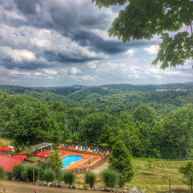
#view#westvirginia
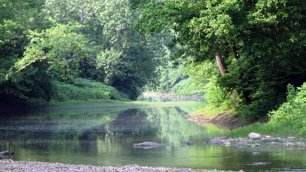
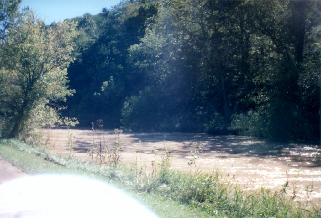
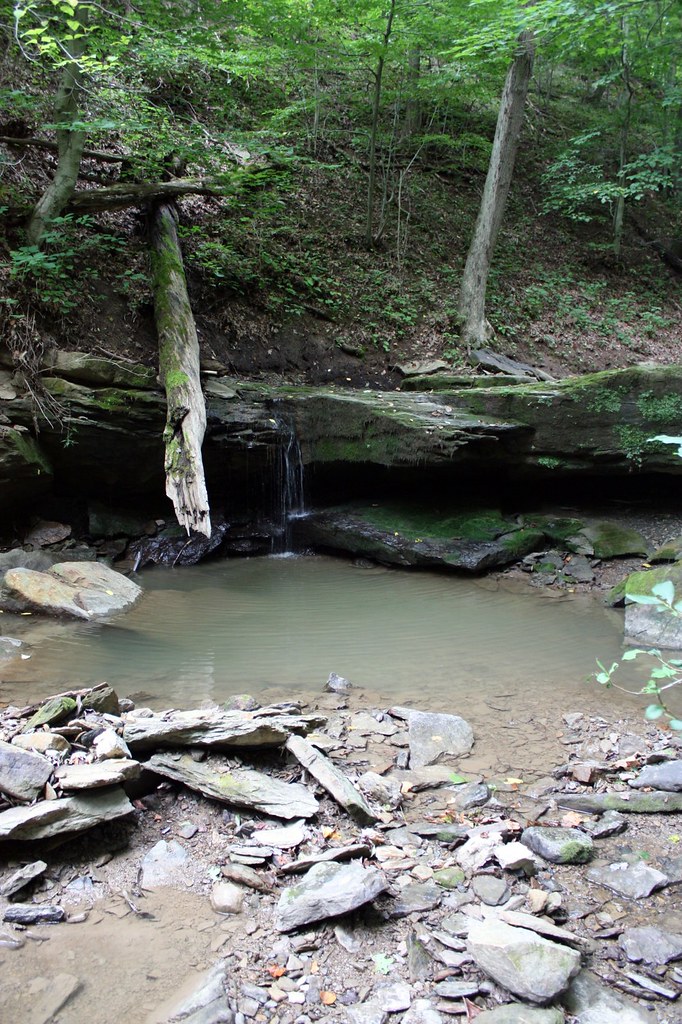
Swirl Hole, Fish Creek, WV.
Swirl Hole, Fish Creek, WV
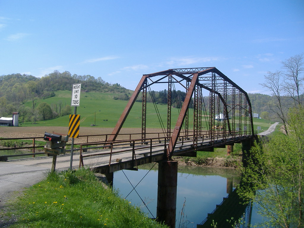
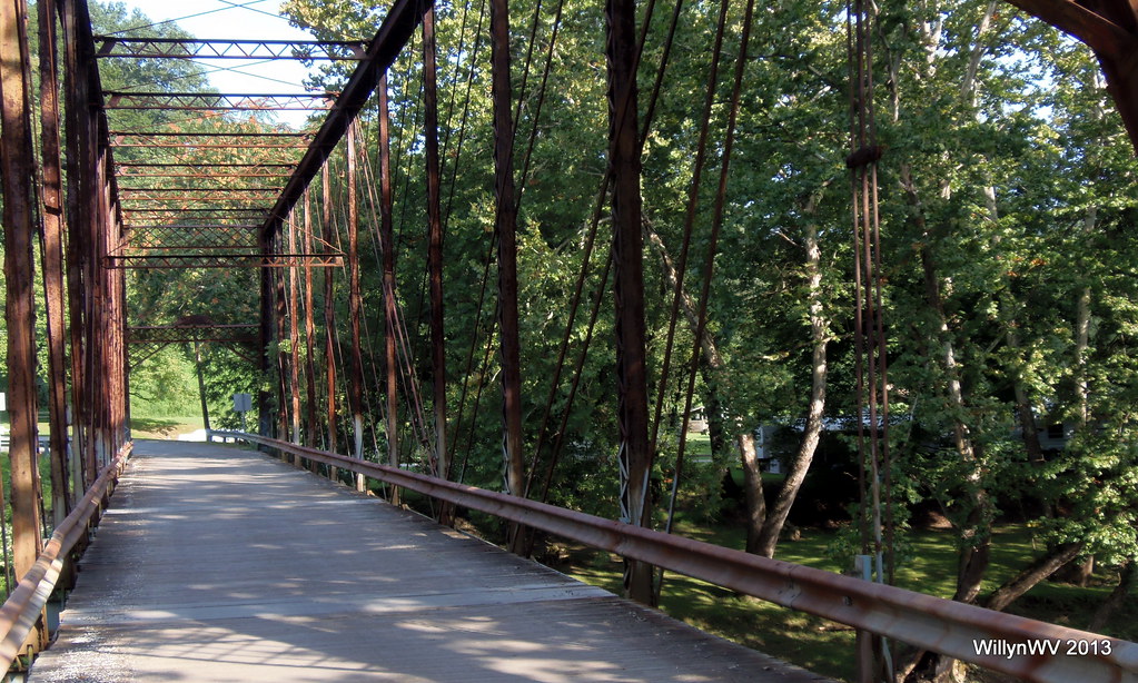
Shepherd Bridge 016
Shepherd Bridge 017
Shepherd Bridge 018
Side View 6-26-2004 Photo
View from Distance 6-26-2004 Photo
General View
general view
general view

general view
general view
general view
general view
general view

Crow Farm
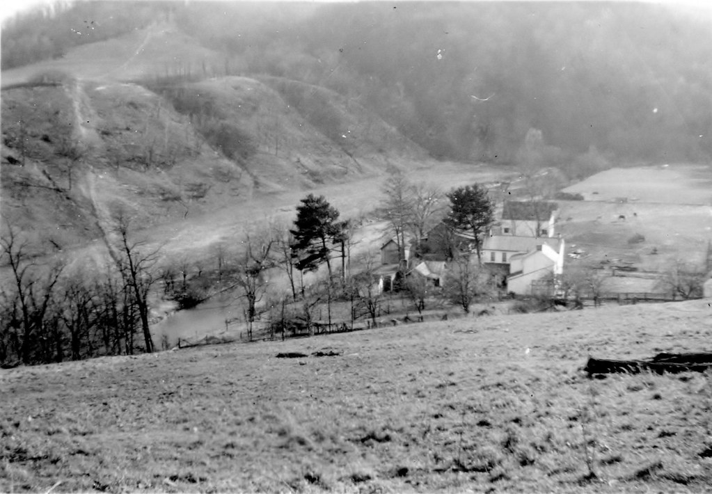
Mooney Farm
Lower Enlow Road
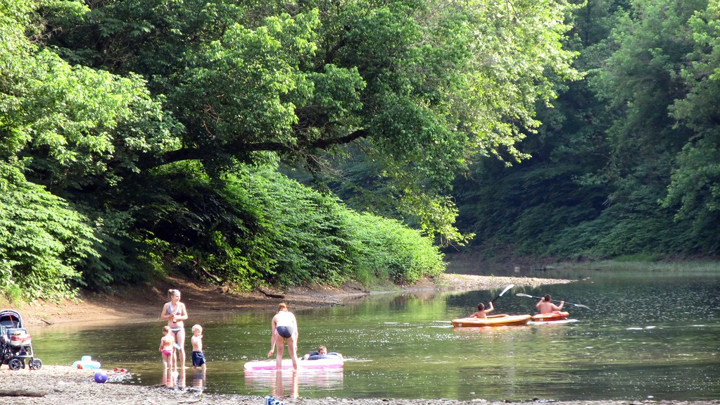
Swimming Hole as Viewed with Grandpap

Purple Aster
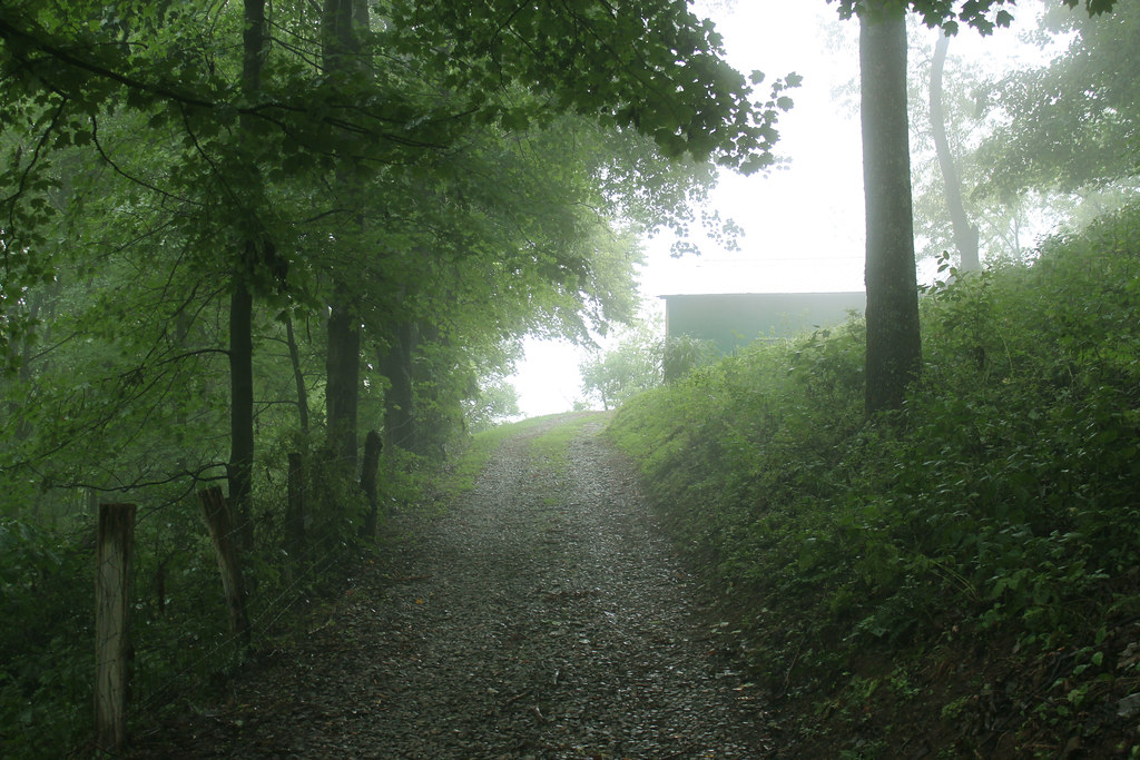
foggy morning
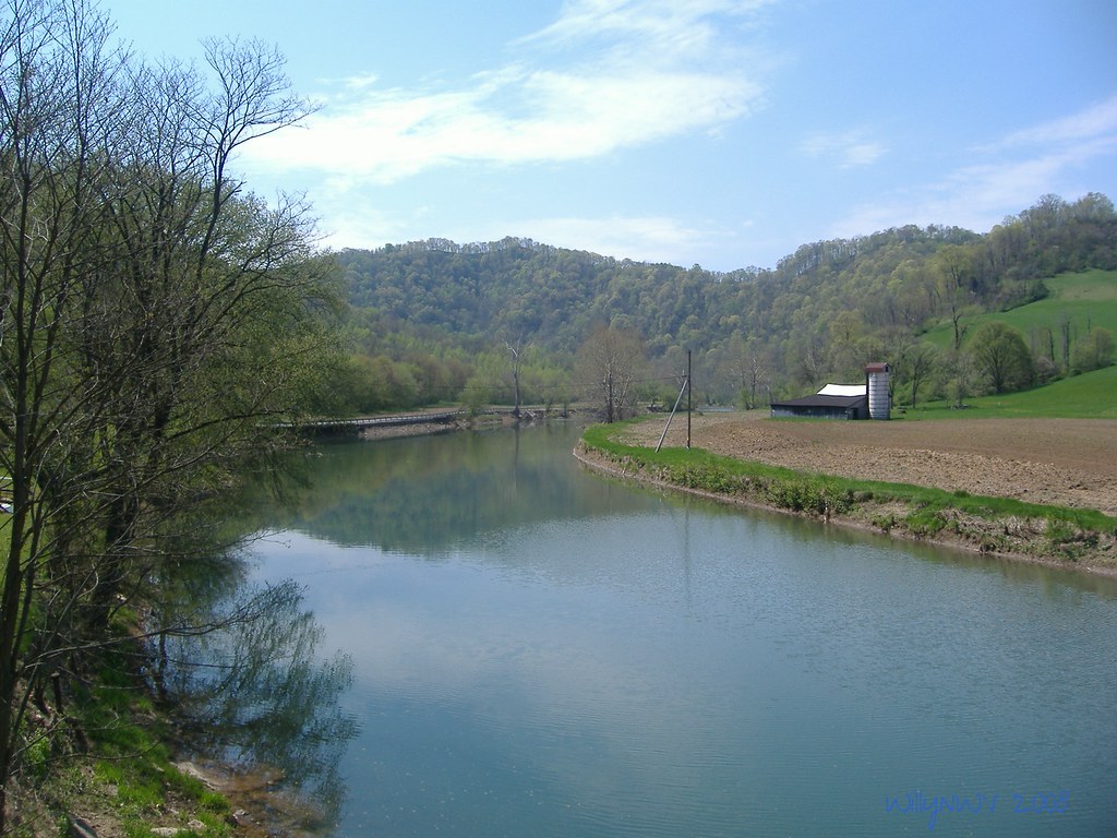
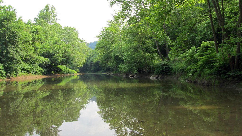
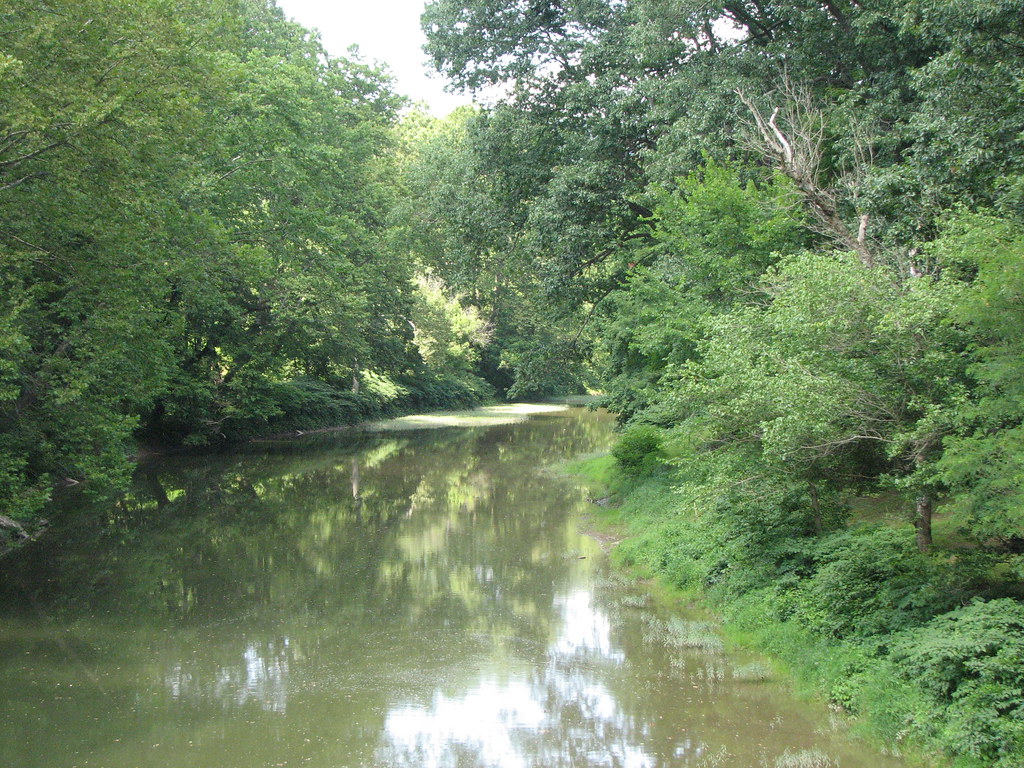
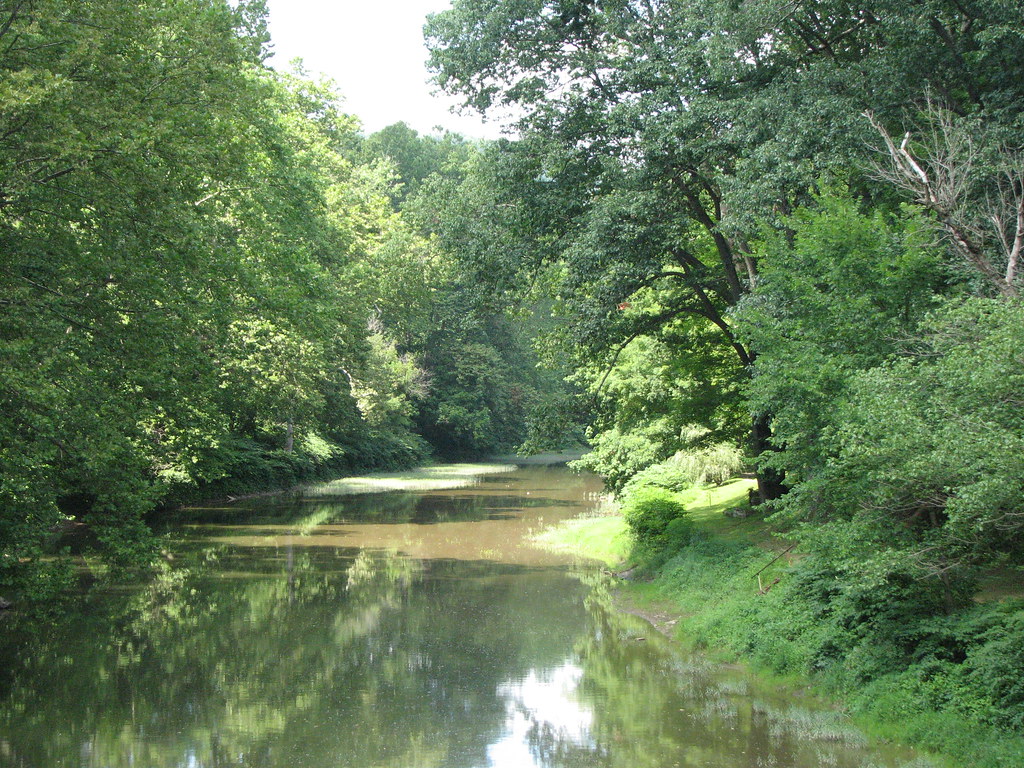
Fish Creek WV
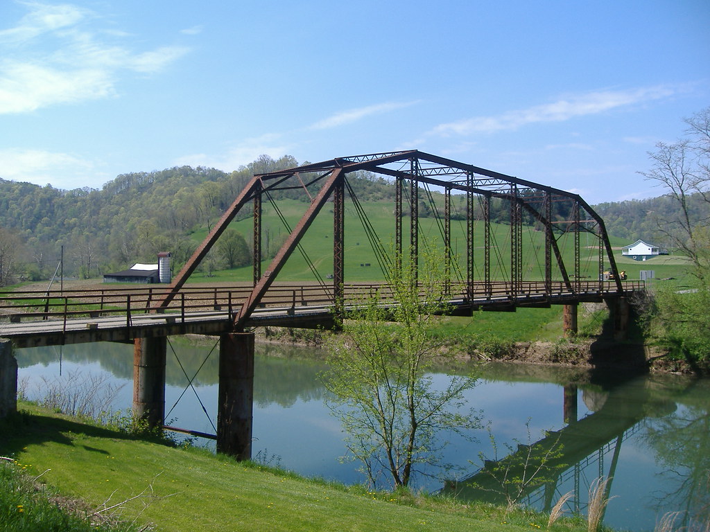
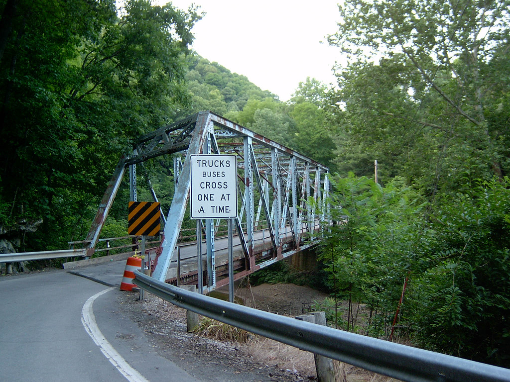
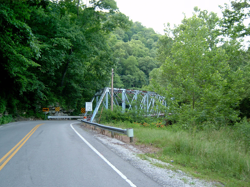
Steel Truss Bridge
Steel Bridge Co.Rd.74
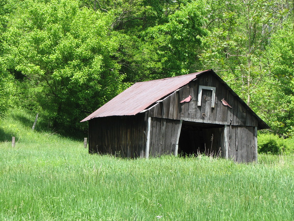
Abandoned Farm
Swirl Hole, Fish Creek, WV.
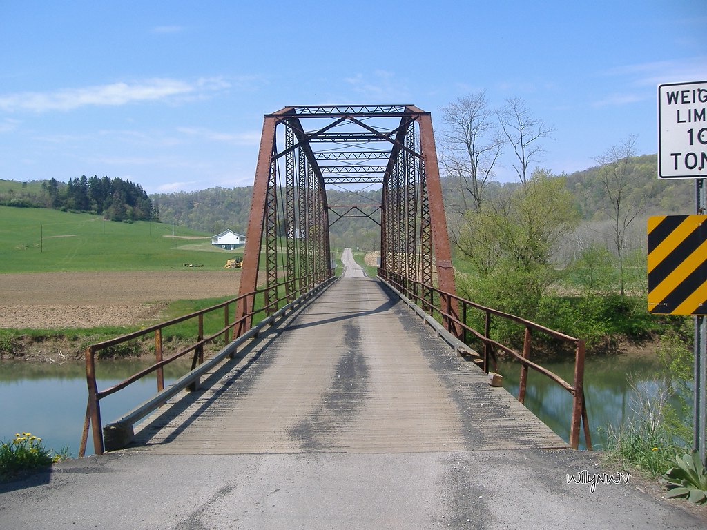
Steel Truss Bridge
The Corner of PA
Adaline Revisited
Fish Creek
Adaline Revisited
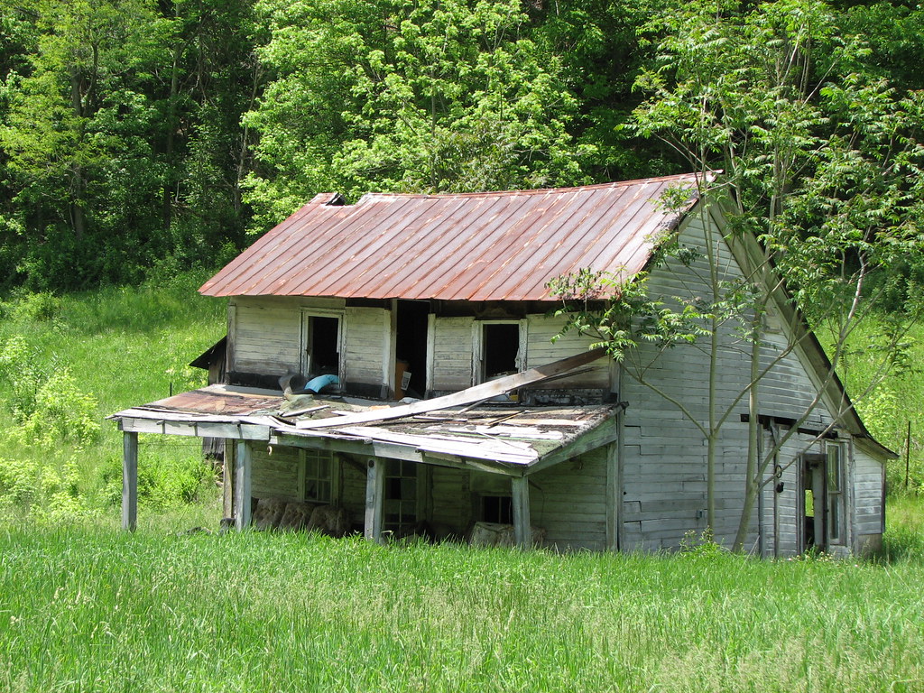
Abandoned Farm
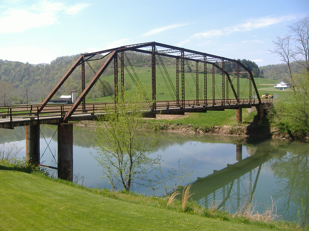
Steel Truss Bridge
Abandoned Farm
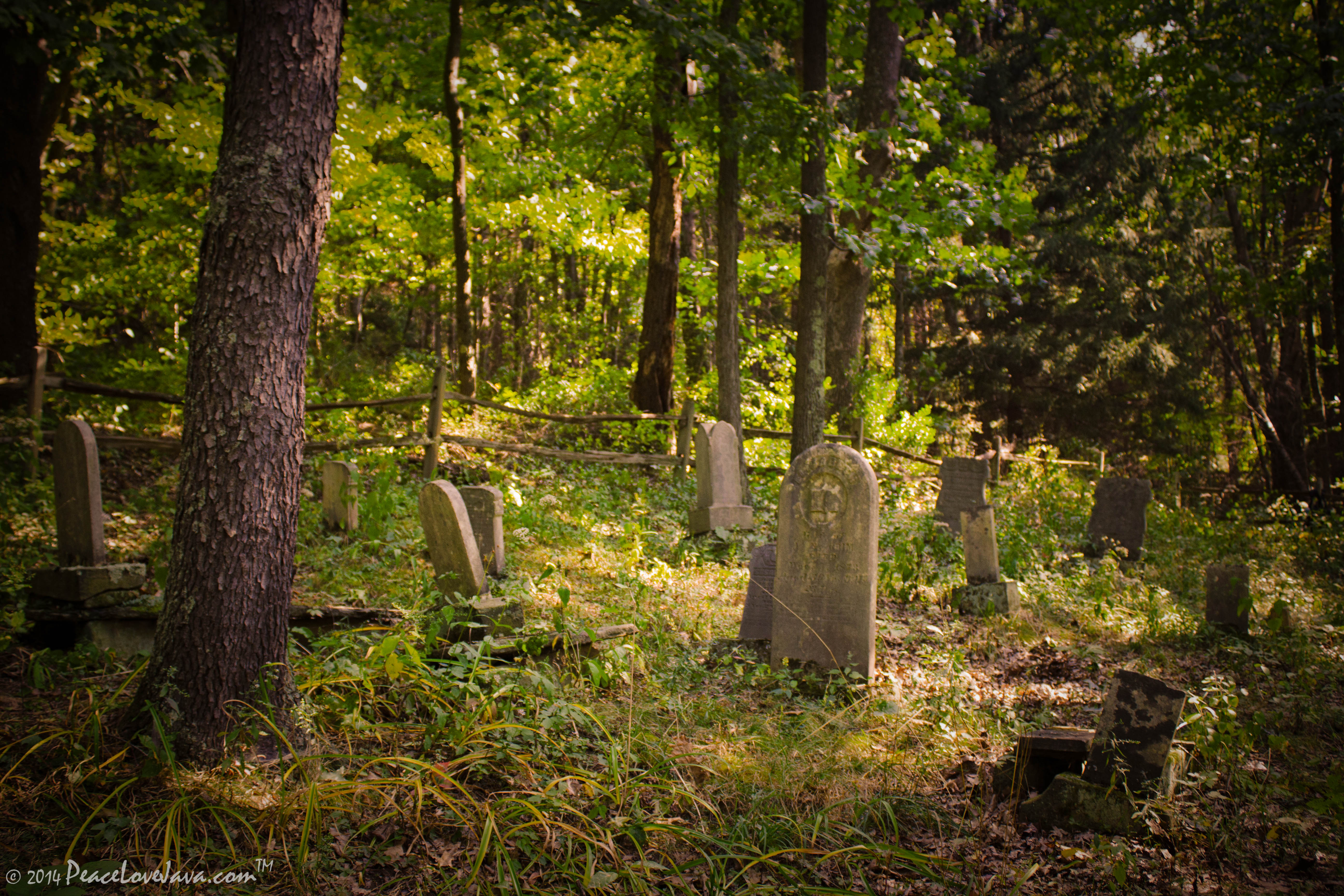
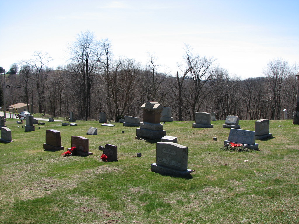
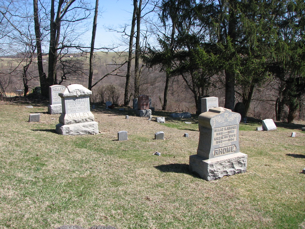
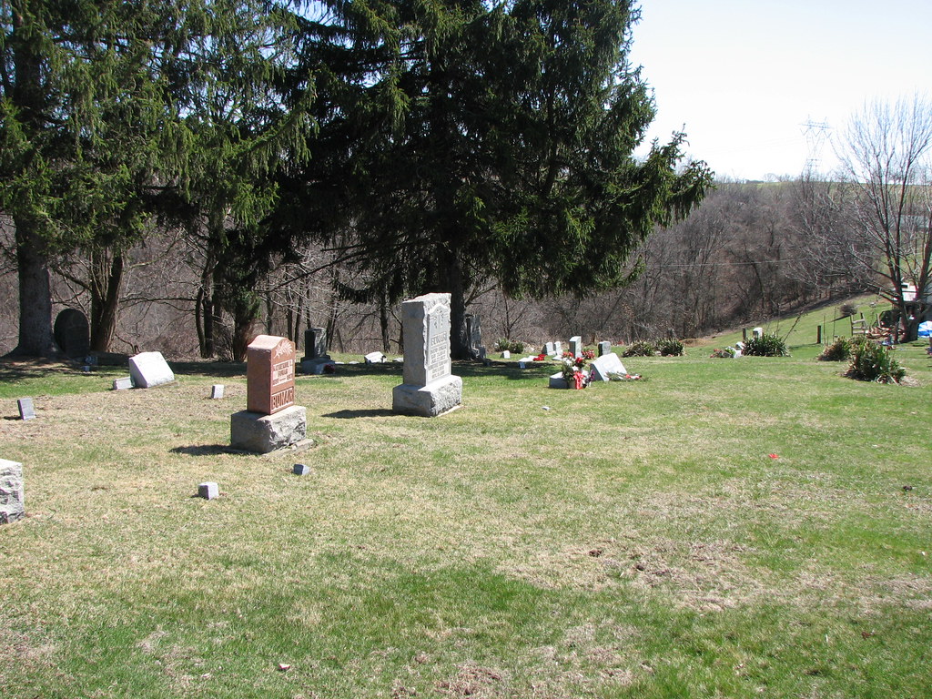
Chess Cemetery

NewVrindaban-05.2014-060

Jacktown Fair Grounds

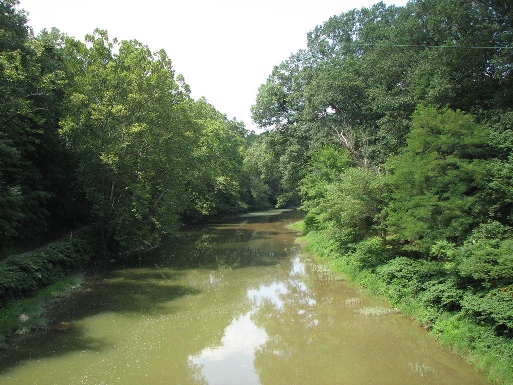
Old creek road
Topographic Map of Cameron, WV, USA
Find elevation by address:

Places in Cameron, WV, USA:
Places near Cameron, WV, USA:
Jacobs Rd, Wind Ridge, PA, USA
Wolf Run, Cameron, WV, USA
366 Quiet Dell Rd
366 Quiet Dell Rd
366 Quiet Dell Rd
Glen Easton
Aleppo Township
3, WV, USA
Calis Majorsville Rd, Cameron, WV, USA
9929 Hornet Hwy
Greenfield Ridge, Cameron, WV, USA
Aleppo
Marshall County
Finch Road
Littleton
1, WV, USA
Ryerson Station State Park
Richhill Township
Miller Run Rd, 2, WV, USA
98 Big Grave Crk, Moundsville, WV, USA
Recent Searches:
- Elevation of Corso Fratelli Cairoli, 35, Macerata MC, Italy
- Elevation of Tallevast Rd, Sarasota, FL, USA
- Elevation of 4th St E, Sonoma, CA, USA
- Elevation of Black Hollow Rd, Pennsdale, PA, USA
- Elevation of Oakland Ave, Williamsport, PA, USA
- Elevation of Pedrógão Grande, Portugal
- Elevation of Klee Dr, Martinsburg, WV, USA
- Elevation of Via Roma, Pieranica CR, Italy
- Elevation of Tavkvetili Mountain, Georgia
- Elevation of Hartfords Bluff Cir, Mt Pleasant, SC, USA