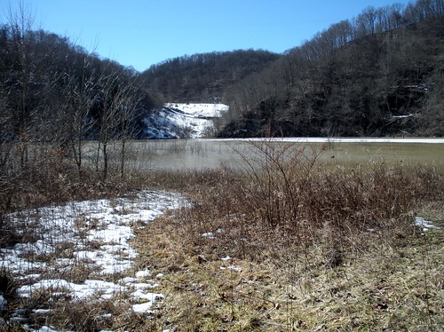
Elevation of Aleppo, PA, USA

Location: United States > Pennsylvania > Greene County > Aleppo Township >

Longitude: -80.446343

Latitude: 39.8239531

Elevation: 321m / 1053feet

Barometric Pressure: 98KPa

Elevation Map:

elevation map of Aleppo, PA, USA
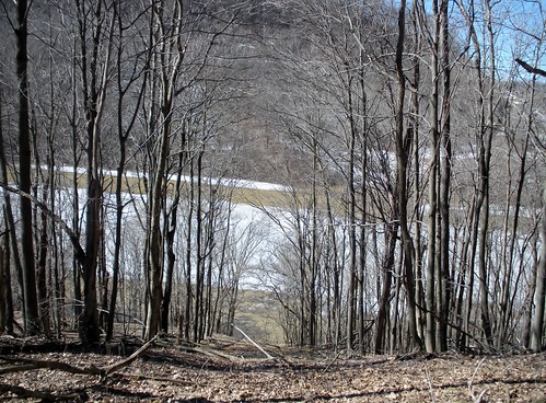
Satellite Map:

Satellite map of Aleppo, PA, USA
Related Photos:

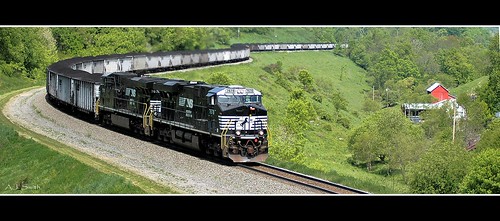
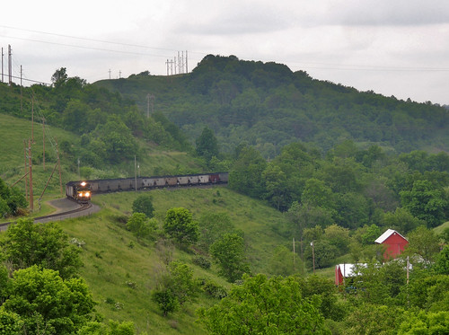
county railroad panorama horizontal rural train energy mine branch power time pennsylvania ns farm country norfolk engine rail railway trains panoramic southern pa engines transportation bailey locomotive coal manor ge greene freight locomotives bookmark дорога consol “ железная 铁路 gevo es40dc “железная
It's About Time
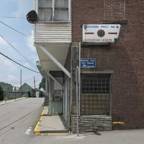
westvirginia cameronwestvirginia cameron marshallcountywestvirginia marshallcounty northernpanhandle wheelingmetropolitanarea 20100715 july2010 july 2010 downtowncameron downtown mainstreet parkstreet street streets intersection streetintersection paved sidewalks curbs kerbs yellowcurbs yellowpaint manholecover manholelid manhole building corner buildingcorner glassbrick glassblock glassbrickwindow glassblockwindow stopsign windows powerlines telephonepoles utilitypoles americanlegion americanlegionpost americanlegionpost18 cameronpost18 post18 arrows municipalpool municipalpoolsign freeparking bricks brickbuilding streetscape cityscape landscape view westvirginialandscape cameronlandscape airconditioner windowairconditioner windowmountedairconditioner steps stairs brickedin brickedinwindow brickedwindow siding whitesiding powerlineshadows img4293
Streetcorner of Cameron, W.Va.
westvirginia cameronwestvirginia cameron marshallcountywestvirginia marshallcounty northernpanhandle wheelingmetropolitanarea 20100715 july2010 july 2010 usroute250 route250 us250 highway250 ushighway250 cameronrecreationpark park citypark roller grader flattener smoother metalroller metal rust rustymetal cinderblocks proppedup proppedoncinderblocks twocinderblocks mud tree landscape view westvirginialandscape marshallcountylandscape grass mowed mowedgrass treetrunk contraption machine poles metalpoles img4271
Layin down my heavy old rusty old rolling flattener-smoother, under a tree, during my break.
westvirginia hundredwestvirginia hundred wetzelcountywestvirginia wetzelcounty 20100715 july2010 july 2010 northernwestvirginia downtownhundred downtown wetzelstreet pennsylvaniaavenue westvirginiaroute69 route69 stateroute69 landscape view westvirginialandscape hundredlandscape northernwestvirginialandscape smalltownlandscape street streetscape smalltownstreetscape paved pavement cars parkedcars onstreetparking stairs steps staircase outdoorstaircase outdoorstairs longstaircase hillsidestairs hillsidesteps hillsidestaircase hillside denudedhillside treelesshillside clearcuthillside buildings utilitypoles telephonepoles powerlines alotofpowerlines lotsofpowerlines lightpole church steeple churchsteeple airconditioners satellitedish balconies handrailings handrails curbs kerbs trashcans garbagecans stormdrain denudedness minivan suv sportutilityvehicle img4385
A view in town.
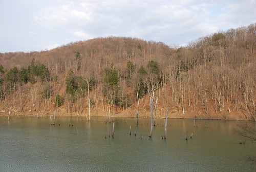
abandoned creek condemned dam progress watershed wheeling crowcreek columbiagas wv3 wheelingwatershed wheelingcreekwatershed
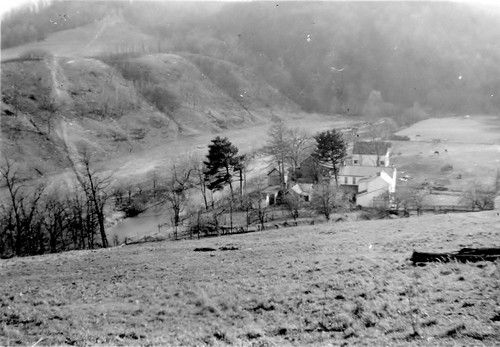
Crow Farm
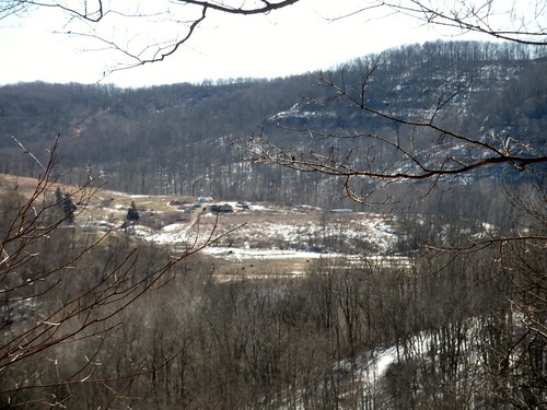
View west from Centennial Cemetery near Aleppo, PA
View east from Centennial Cemetery near Aleppo, PA
creek watershed wheeling wheelingcreekwatershed
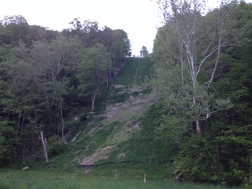
It's still steep!
creek watershed wheeling wheelingcreekwatershed
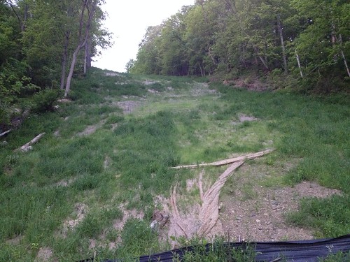
Steep pipeline right-of-way
rural farm agriculture
Mooney Farm
rain weather flood hurricaneivan
Lower Enlow Road
View facing (approx) S in Durbin Cemetery
View facing E from Durbin Cemetery
View looking (approx) W into Durbin Cemetery from edge of trees
View (approx) WNW from eastern edge of Durbin Cemetery
View to the E from Durbin Cemetery
Scott Covered Bridge, barrel view, Greene County, PA
View looking (approx) W into the remainder of the Durbin Cemetery
View facing (approx) NNW from Durbin Cemetery
Scott Covered Bridge, creek view, Greene County, PA
Scott Covered Bridge, window view, Greene County, PA
time coal pennsylvania greenecounty scenic scenery csx train railroad engine locomotive diesel transportation n73 yn3b darkfuture ge widecab generalelectric 3070 es44ach manorbranch
CSX 3070 and 792
cemetery unitedstates pennsylvania graysville greenecounty ryersonstatepark chesscemetery pineboxtrail
Chess Cemetery
unitedstates pennsylvania greenecounty windridge purpleaster dukelake ryersonstatepark
Purple Aster
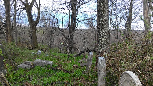
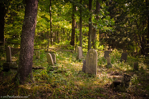
Centennial Cemetery near Aleppo, PA
crowsrock
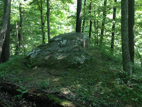
Crows' Rock
PA Route 18 heading north toward Holbrook
Crows' Rock and Crow Creek
Crows' Rock: looking east
Crows' Rock: looking west
cameron marshallcounty westvirginia wv spring day cloudy streetscape bo frieghtstation trainstation history historic historical landscape cityscape downtown
Birdseye Cameron
cameron marshallcounty wv westvirginia camforge greenvalley history houses factory buildings railroad telephonepole telegraphpole landscape hills
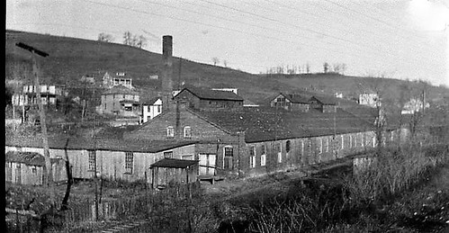
1920s Cameron WV
cameron marshallcounty wv westvirginia eastend camforge camerontools factory building history greenvalley
1920s Cameron WV
The King of the Guinea Hens
Almost Heaven, West Virginia
abandoned condemned dam progress crowcreek columbiagas wv3 wheelingwatershed wheelingcreekwatershed
Pipeline Right-of-Way
bailey mine coal train railroad norfolk southern ns manor branch erie heritage locomotive greene county pa pennsylvania georgeneat patriotportraits neatroadtrips freight landscapes scenic
First Peak of N21
abandoned condemned dam progress crowcreek columbiagas wv3 wheelingwatershed wheelingcreekwatershed
Columbia Gas Well
usa unitedstates westvirginia cameron alleygrove dunkardforkwildlifemanagementarea dunkardforklake
Dunkard Fork Lake
abandoned condemned dam progress crowcreek columbiagas wv3 wheelingwatershed wheelingcreekwatershed
Gas company road