Elevation map of Calca Province, Peru
Location: Peru > Cusco >
Longitude: -72.046816
Latitude: -12.995386
Elevation: 3469m / 11381feet
Barometric Pressure: 66KPa
Elevation Map:
Satellite Map:
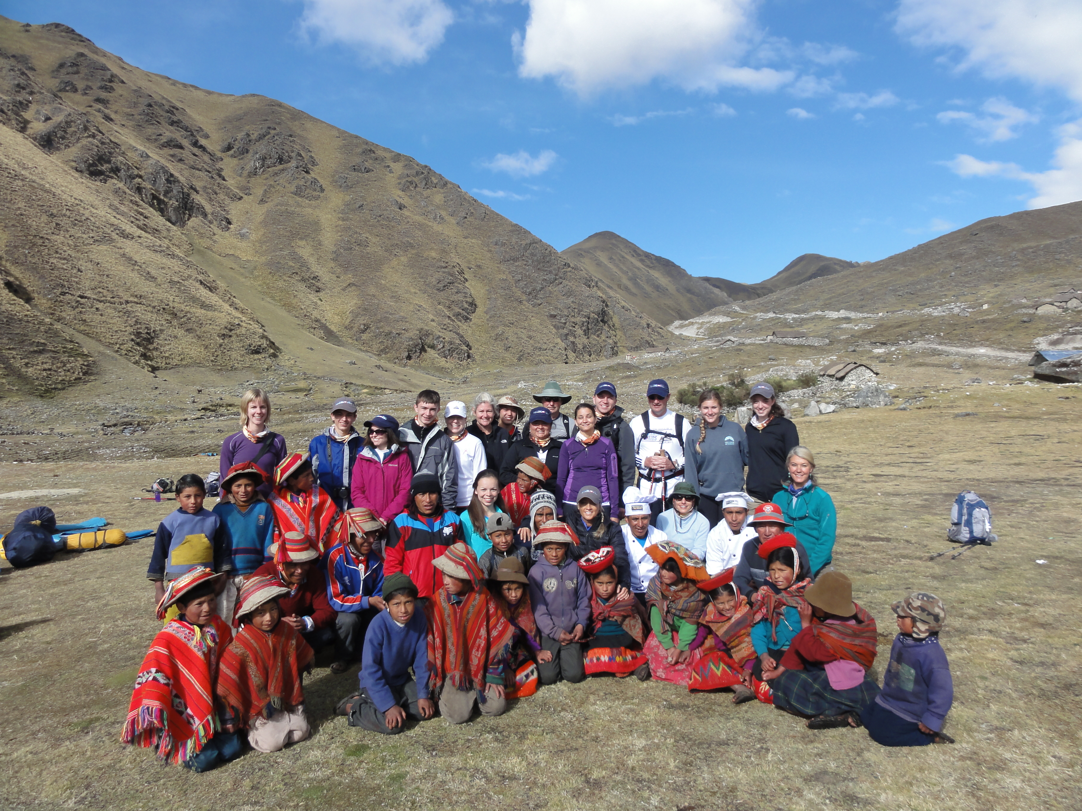
Related Photos:

Machu Picchu

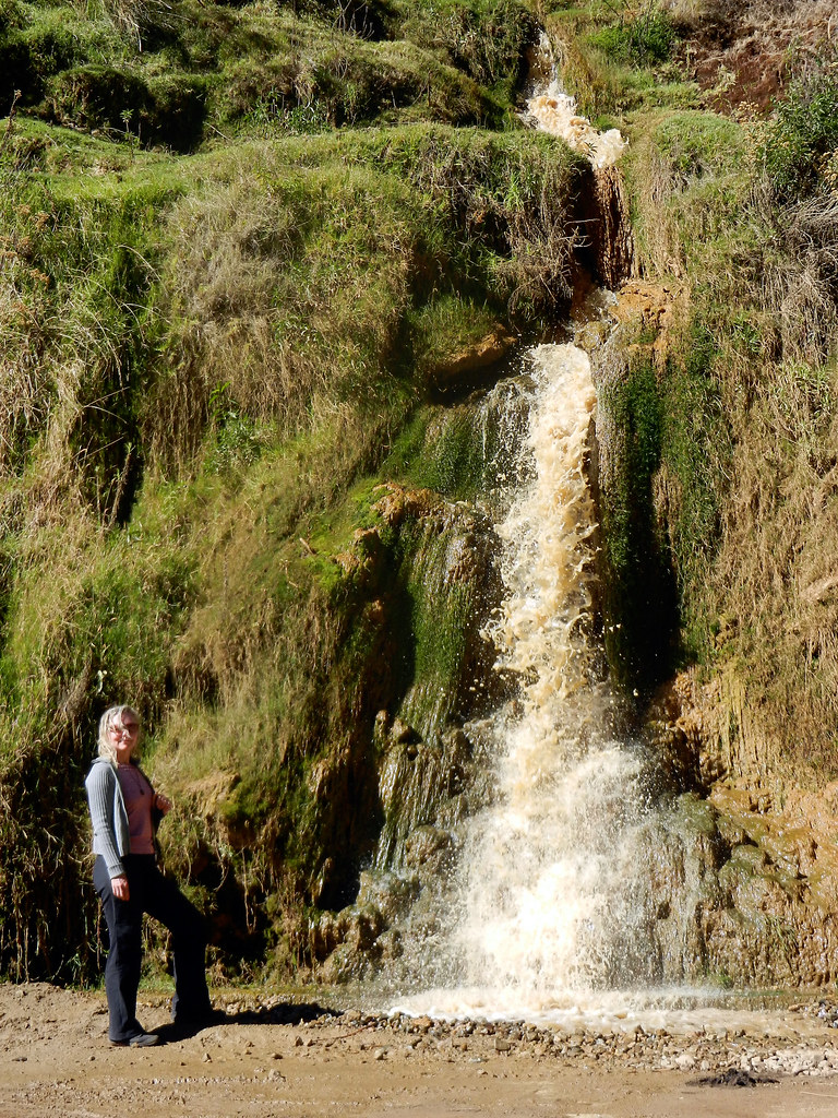
Running at full capacity

The Magic Fairy Glade.

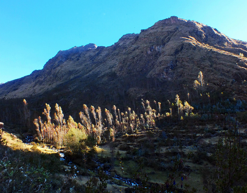
Andean Landscape

Rainbow.

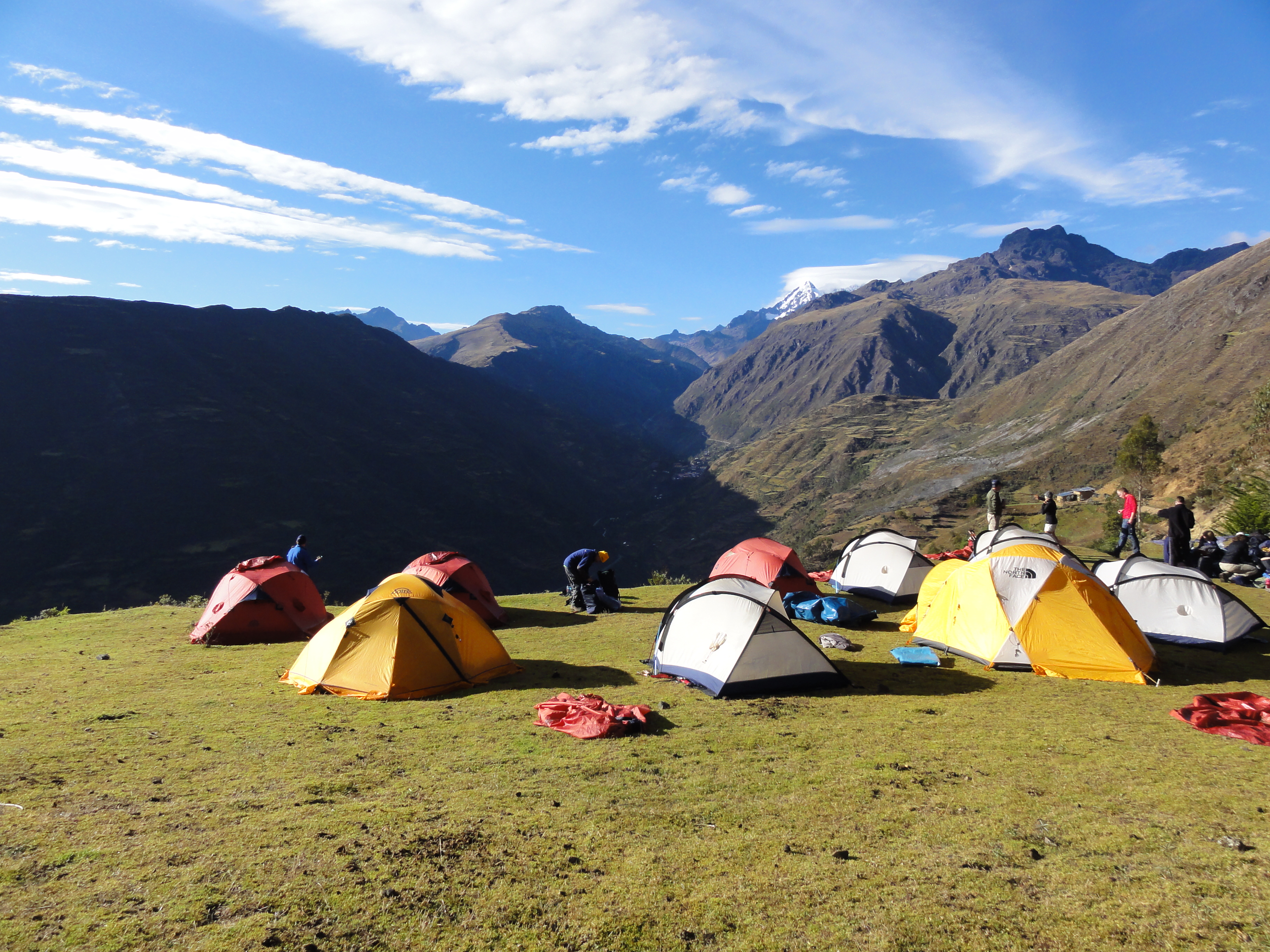
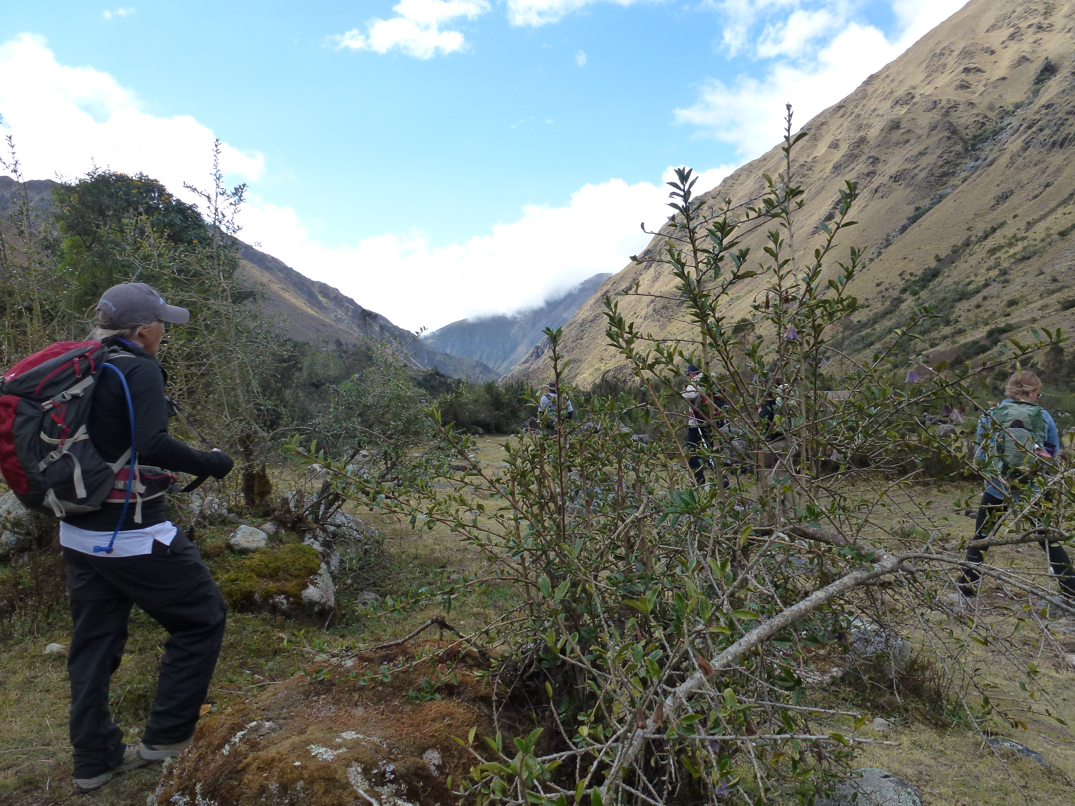
The Lares Valley

Llamas in the mist.
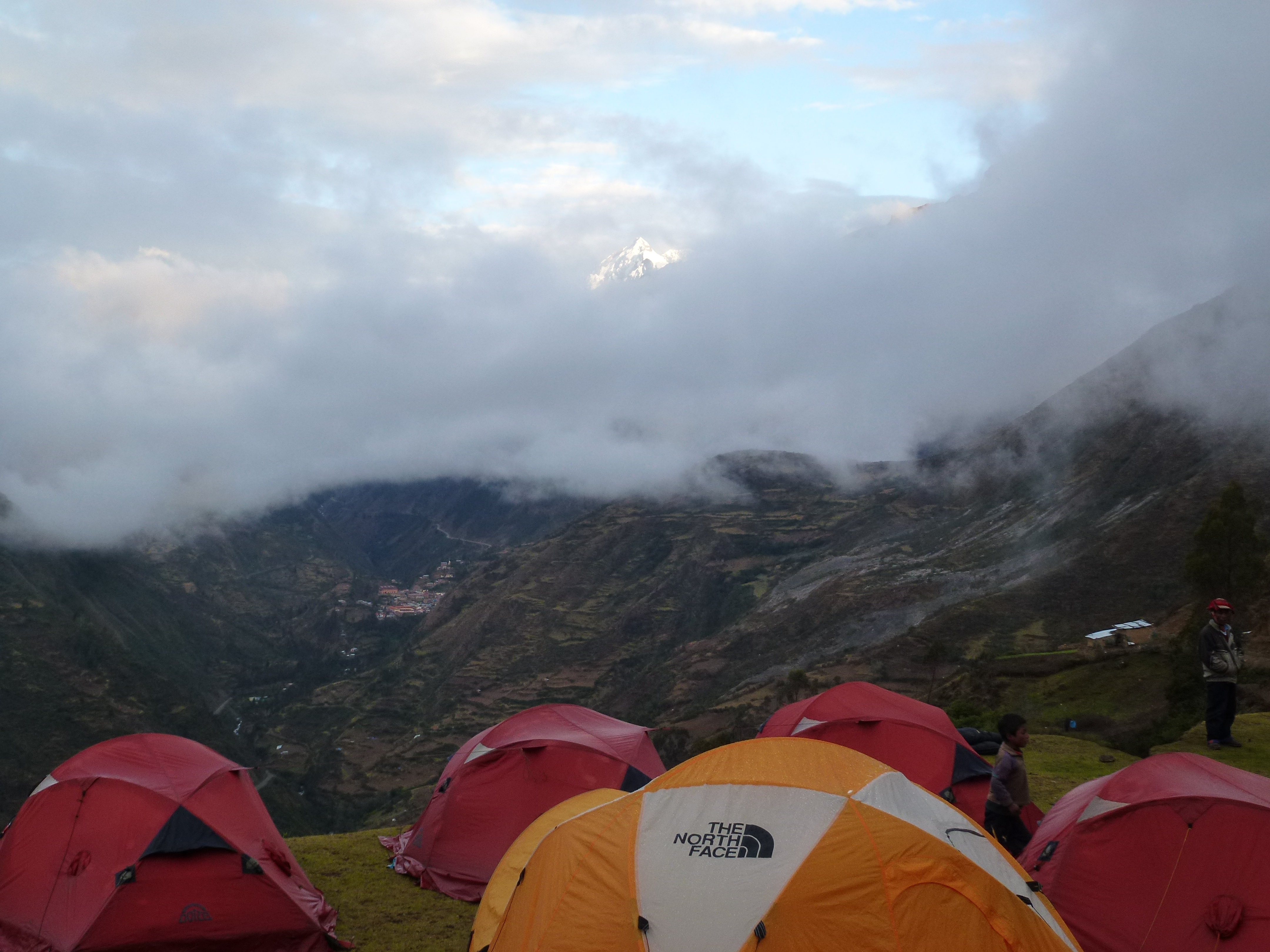
Last rays
Side of the road

DSC02460
DSC02469


P1220437

P1220438

P1220439

P1220440

P1220441

P1220443
P1020569
P1020572
Topographic Map of Calca Province, Peru
Find elevation by address:

Places in Calca Province, Peru:
Places near Calca Province, Peru:
Lares
Patacancha
Anqasmarka
Ábra Málaga
Abra Malaga
Pumarca Ruins
Urubamba
Tambo Del Inka, A Luxury Collection Resort & Spa, Valle Sagrado
Maras Salt Mines
Skylodge Adventure Suites
Sonesta Posadas Del Inca - Yucay
Inca Salt Pans Of Maras
Yucay
Pachar
Aranwa Sacred Valley Hotel & Wellness
Urubamba Province
Pinkuylluna
Sacred Valley
Ollantaytambo Sanctuary
Ollantaytambo
Recent Searches:
- Elevation of Corso Fratelli Cairoli, 35, Macerata MC, Italy
- Elevation of Tallevast Rd, Sarasota, FL, USA
- Elevation of 4th St E, Sonoma, CA, USA
- Elevation of Black Hollow Rd, Pennsdale, PA, USA
- Elevation of Oakland Ave, Williamsport, PA, USA
- Elevation of Pedrógão Grande, Portugal
- Elevation of Klee Dr, Martinsburg, WV, USA
- Elevation of Via Roma, Pieranica CR, Italy
- Elevation of Tavkvetili Mountain, Georgia
- Elevation of Hartfords Bluff Cir, Mt Pleasant, SC, USA