Elevation of Urubamba Province, Peru
Location: Peru > Cusco >
Longitude: -72.28375
Latitude: -13.234003
Elevation: 3778m / 12395feet
Barometric Pressure: 63KPa
Elevation Map:
Satellite Map:
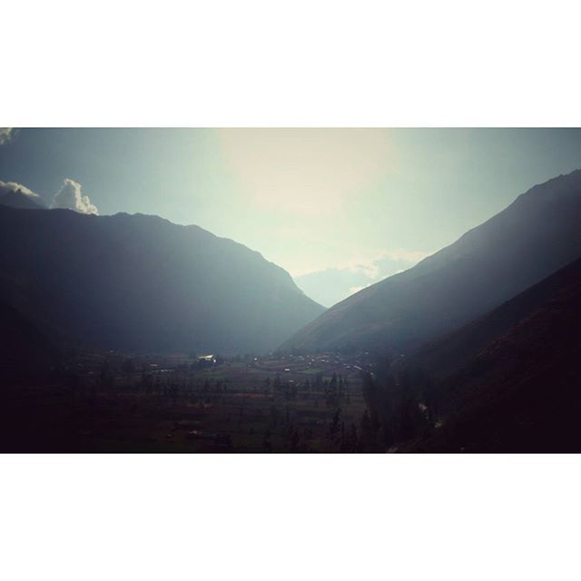
Related Photos:
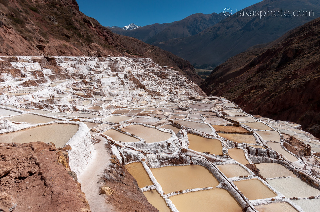
The Salt-Evaporation Ponds of Maras (Las Salineras de Maras), Maras, Urumbamba, Peru ペルー マラスの塩湖

Salty Patterns

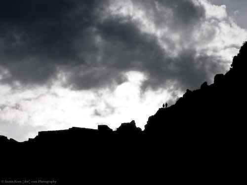
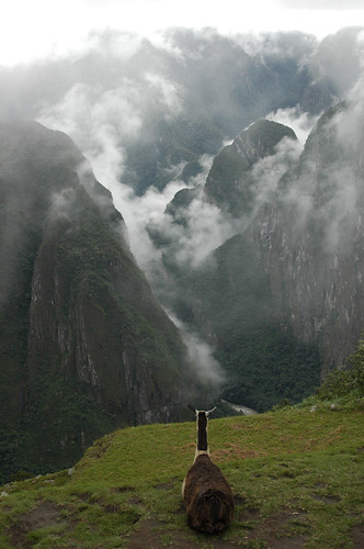
Machu Picchu from the Guard House
view from the temple of the sun

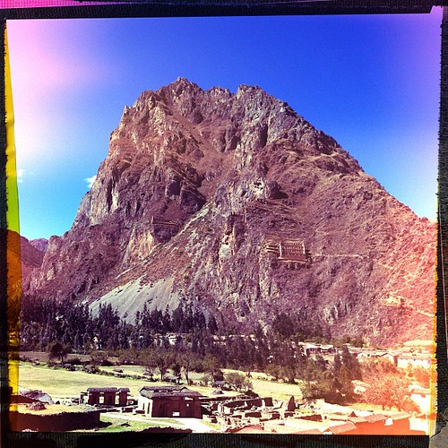
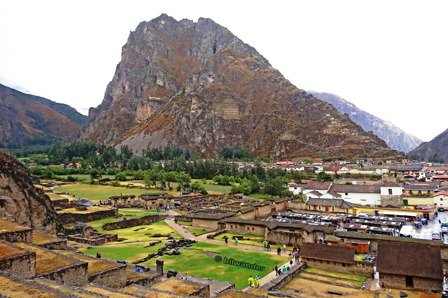
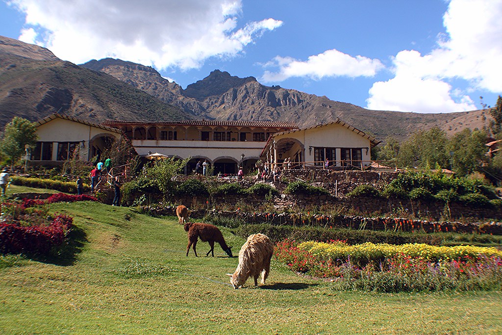
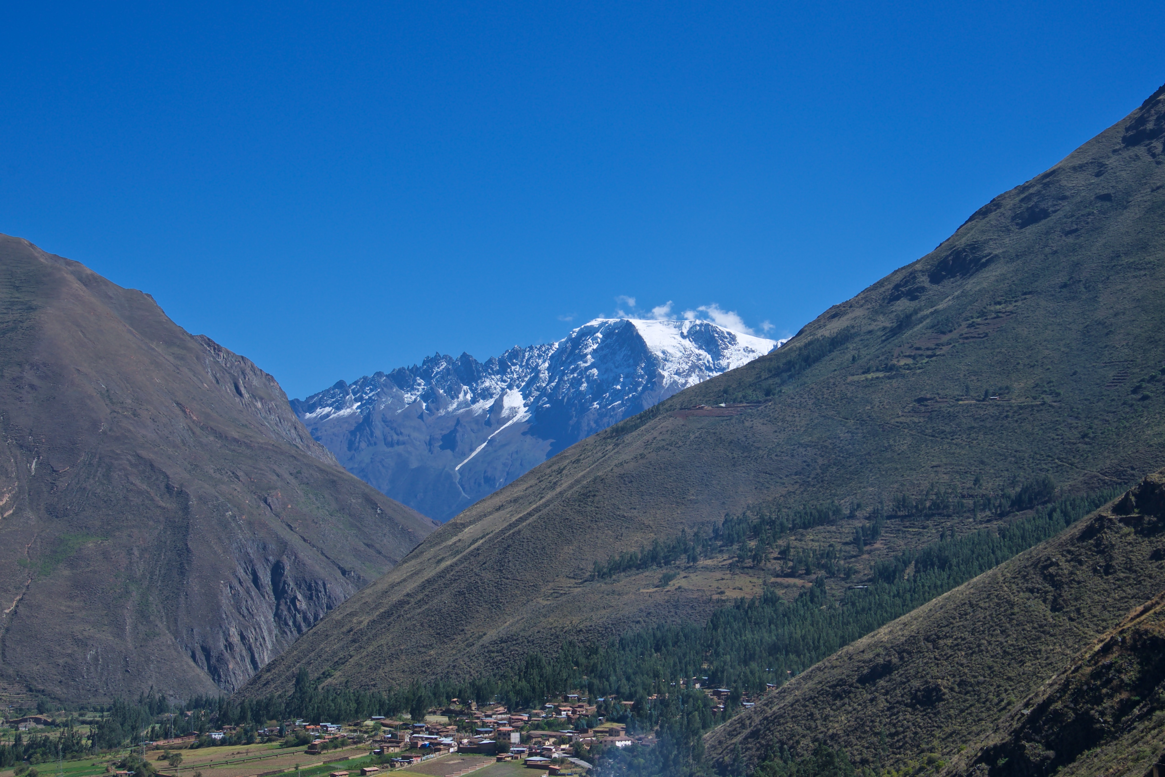
Peru - Ollantaytambo
Peru, Ollantaytambo village view from the hill #Ρeru
Peru, Ollantaytambo, partial view of the town and a hill
Great view from Ollatayambo in Peru
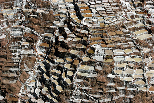
Salty Terraces
MachuPicchu - Panorama View
The Ollantaytambo Sun Gate on the Quarry Trail.

Wow wow ... Views
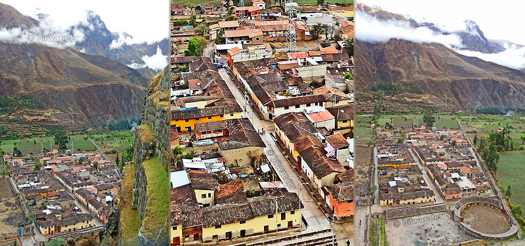
Peru, Ollantaytambo, views to the village and the sacred valley from the terraced fields hill #Ρeru
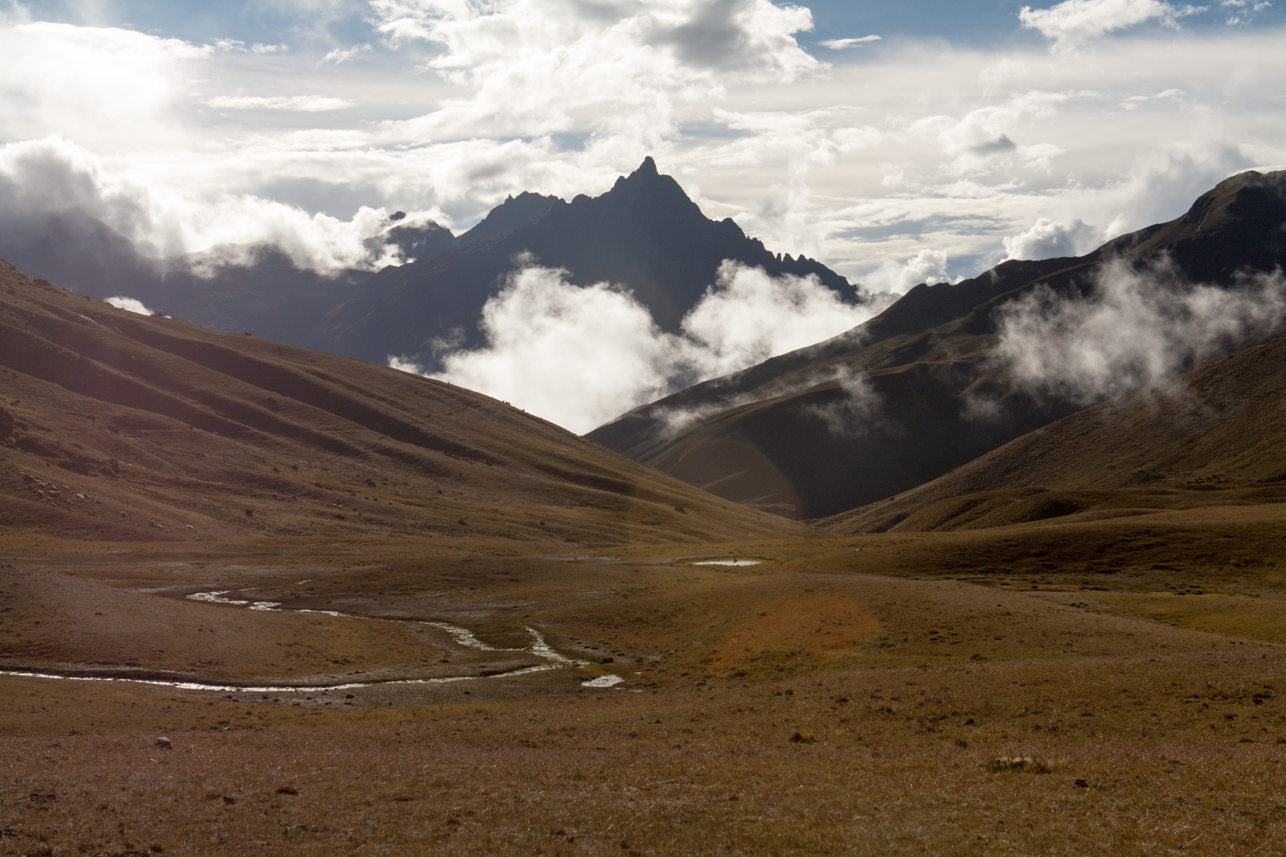
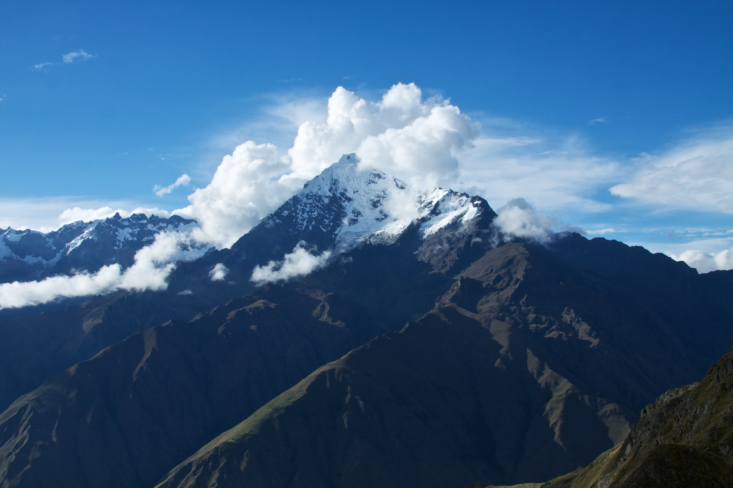
Mount Ominous

Salty Patterns

The Salt-Evaporation Ponds of Maras (Las Salineras de Maras), Maras, Urumbamba, Peru ペルー マラスの塩湖
Master of your Domain
views, Abro Malaga Rd, , Peru, 2002-09-04-3.jpg
Tunupa Restaurante
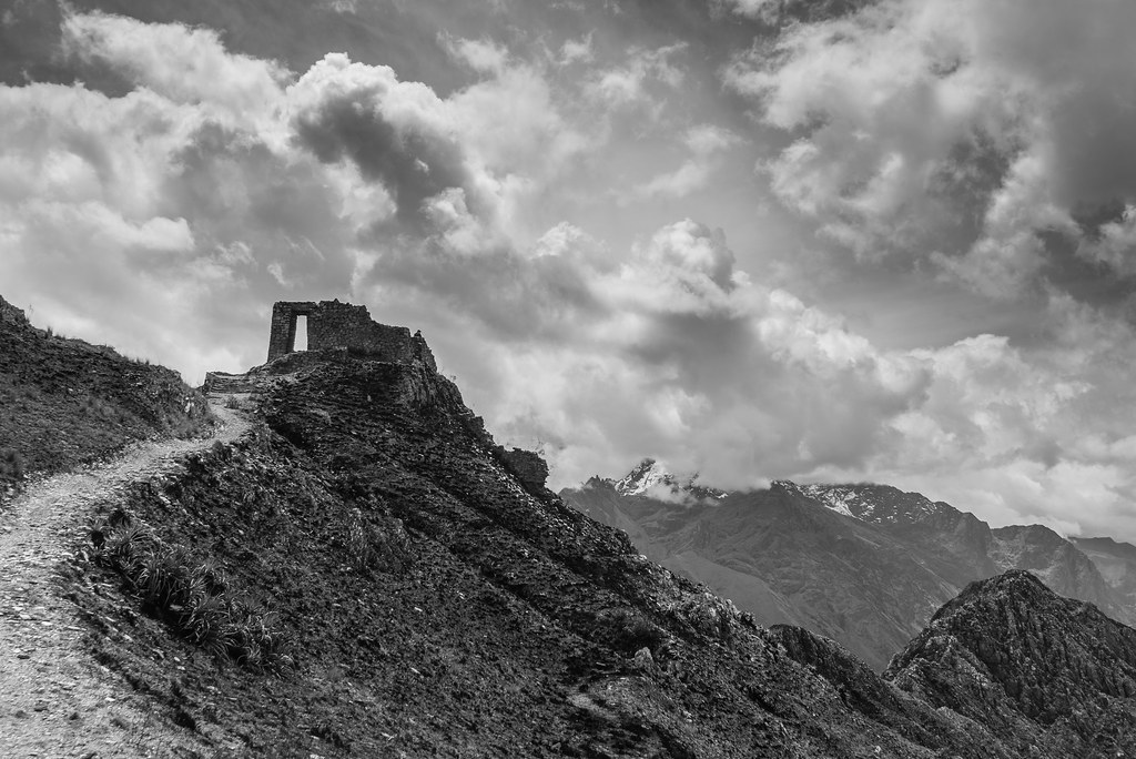
Inti Punku
Peru - Day-hiking Ollantaytambo to Inti Punku Sun Gate 54
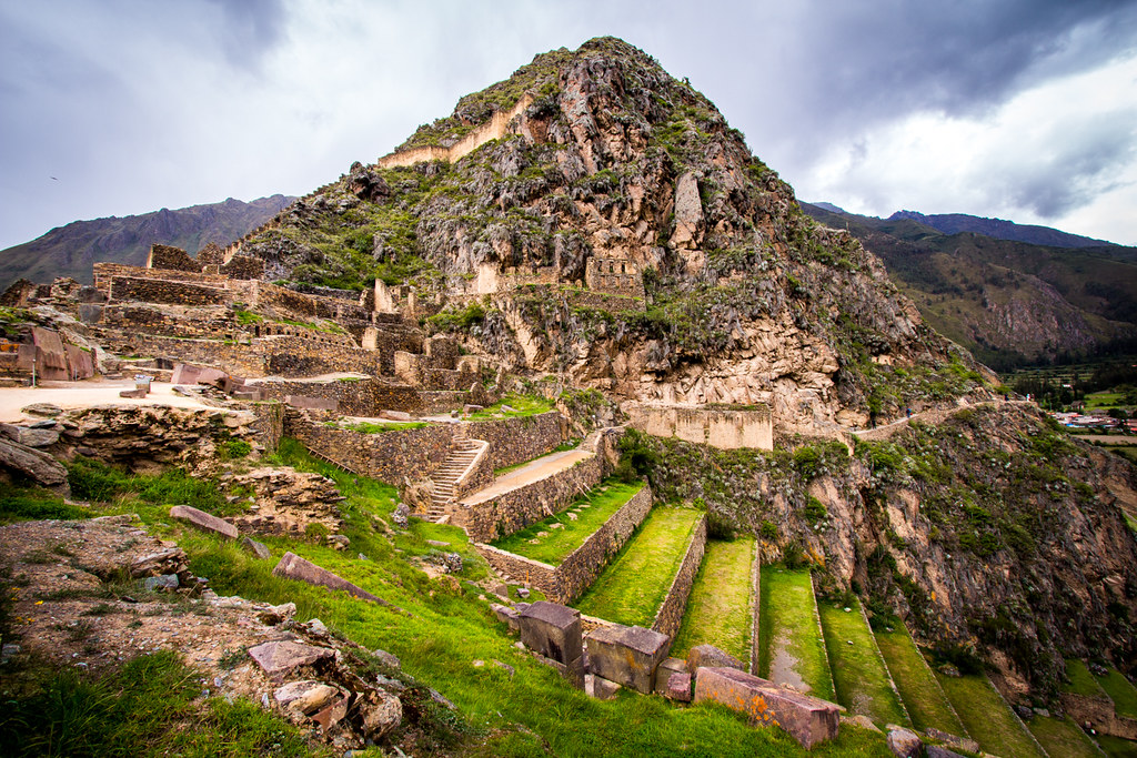
Ollantaytambo Ruins

History and Nature
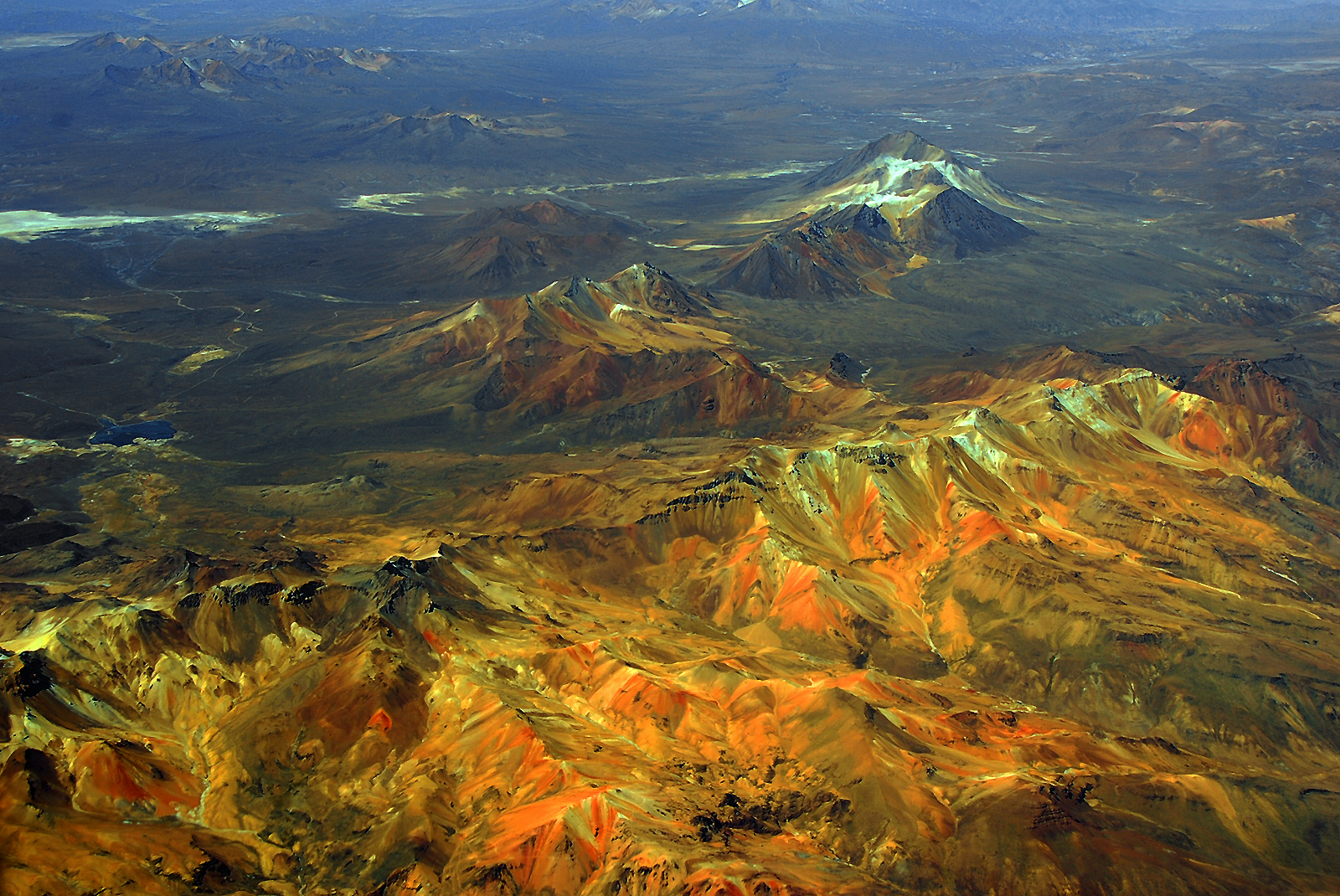
Andes-01

Working The Fields

El vaquero.

Maras Salt Pans
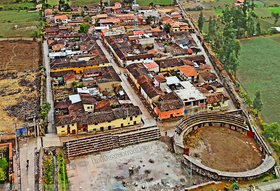
Peru - Urubamba
Llama a los Apus
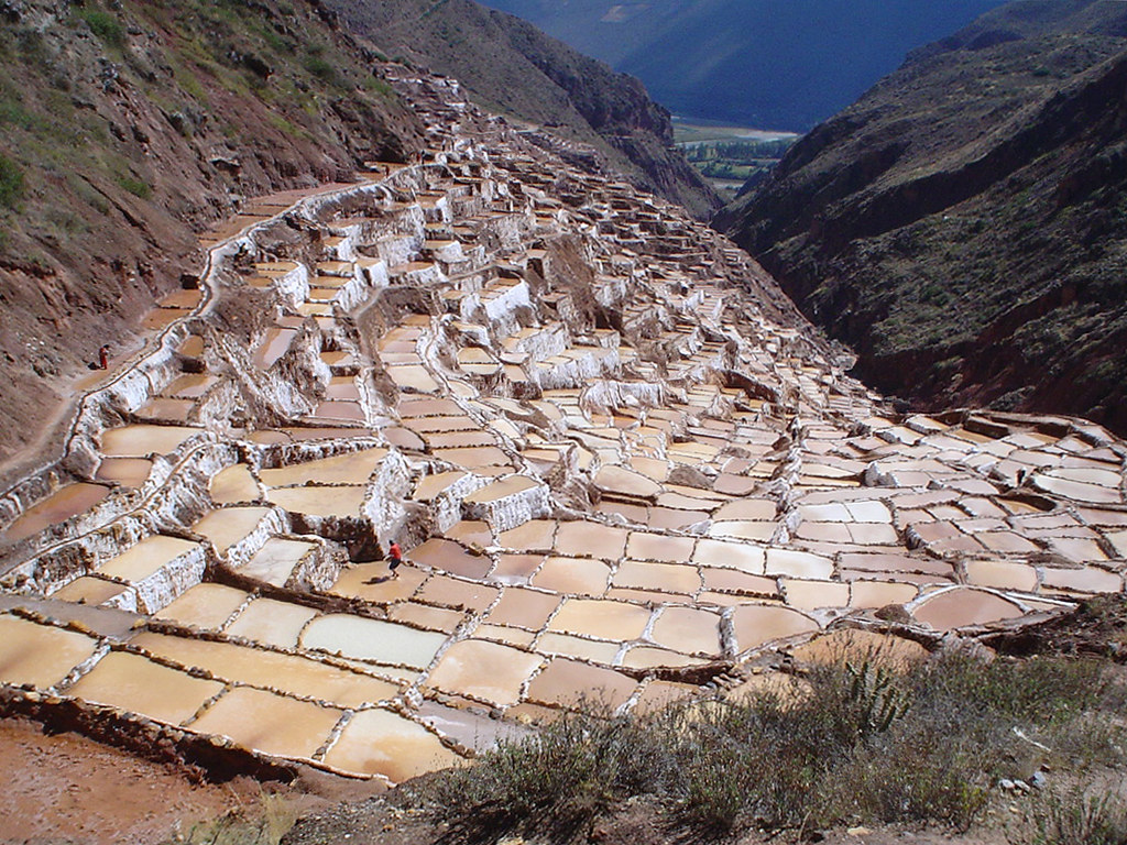
La Valle Salada
Topographic Map of Urubamba Province, Peru
Find elevation by address:

Places in Urubamba Province, Peru:
Ollantaytambo
Yucay
Aguas Calientes
Urubamba
Chinchero
Sacred Valley
Abra Malaga
Unnamed Road
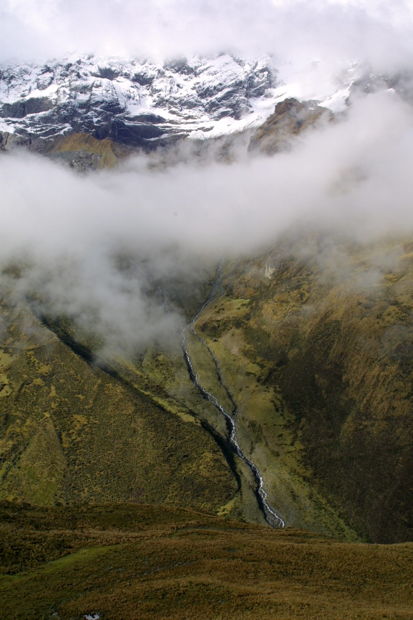
Salcantay
Dead Woman's Pass
Huayna Picchu
Maras
Patacancha
Tanca
Pachar
Places near Urubamba Province, Peru:
Unnamed Road
Tanca
Ollantaytambo Sanctuary
Ollantaytambo
Pinkuylluna
Pumarca Ruins
Skylodge Adventure Suites
Pachar
Km 82
Moray
Maras Salt Mines
Inca Salt Pans Of Maras
Vía A Moray
Maras
Vía A Moray
Tambo Del Inka, A Luxury Collection Resort & Spa, Valle Sagrado
Urubamba
Sonesta Posadas Del Inca - Yucay
Yucay
Sacred Valley
Recent Searches:
- Elevation of Corso Fratelli Cairoli, 35, Macerata MC, Italy
- Elevation of Tallevast Rd, Sarasota, FL, USA
- Elevation of 4th St E, Sonoma, CA, USA
- Elevation of Black Hollow Rd, Pennsdale, PA, USA
- Elevation of Oakland Ave, Williamsport, PA, USA
- Elevation of Pedrógão Grande, Portugal
- Elevation of Klee Dr, Martinsburg, WV, USA
- Elevation of Via Roma, Pieranica CR, Italy
- Elevation of Tavkvetili Mountain, Georgia
- Elevation of Hartfords Bluff Cir, Mt Pleasant, SC, USA