Elevation of Cabery, IL, USA
Location: United States > Illinois > Ford County > Rogers Township >
Longitude: -88.205328
Latitude: 40.9958657
Elevation: 212m / 696feet
Barometric Pressure: 99KPa
Elevation Map:
Satellite Map:
Related Photos:
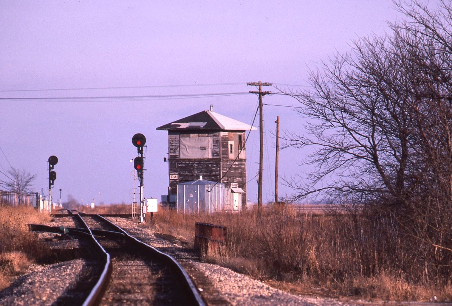
Dead Towers: Reddick
Hidden in Cullom

May 8, 2016 Milky Way
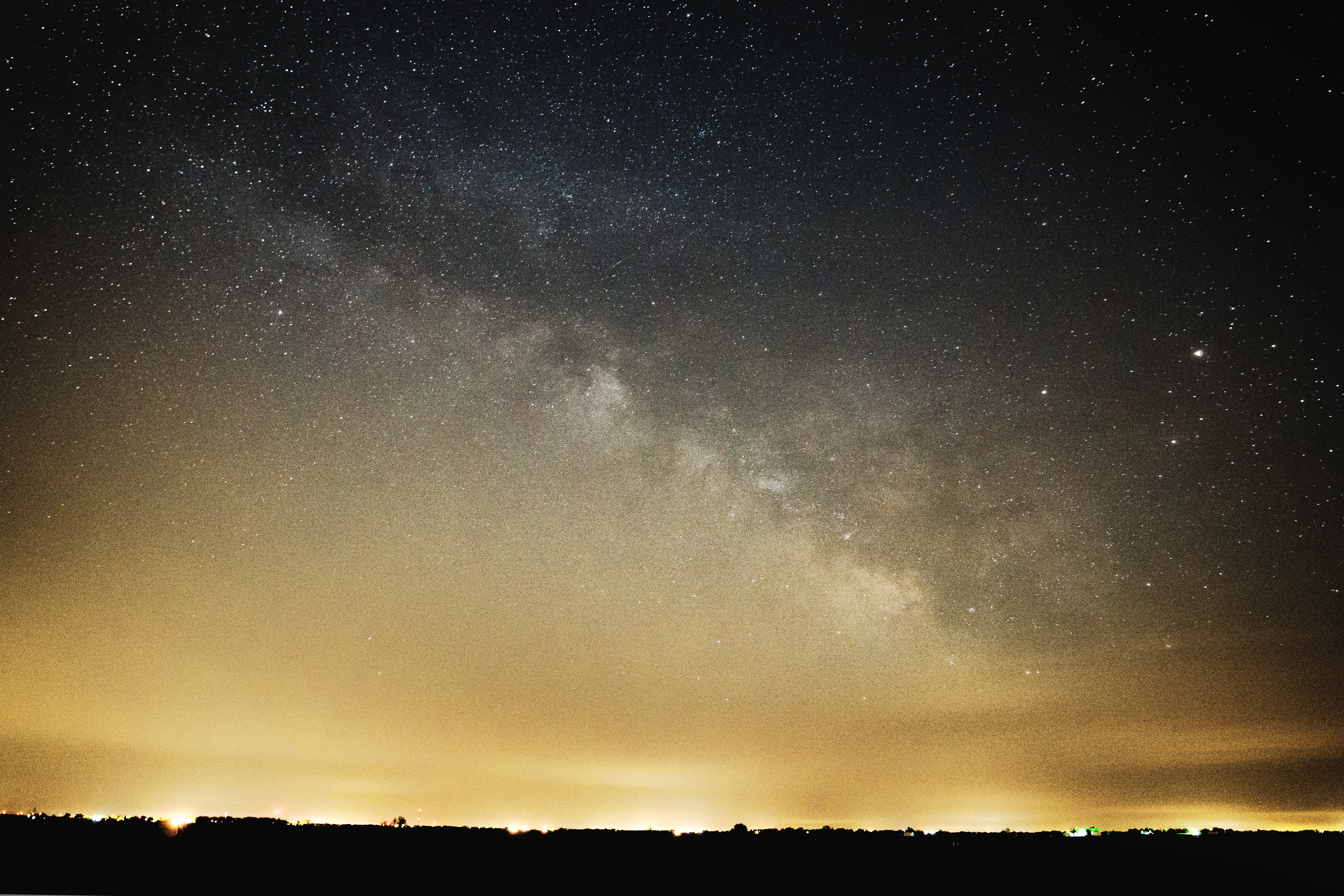
May 8, 2016 Milky Way
2016-04-16 Flight to Bloomington, IL 7
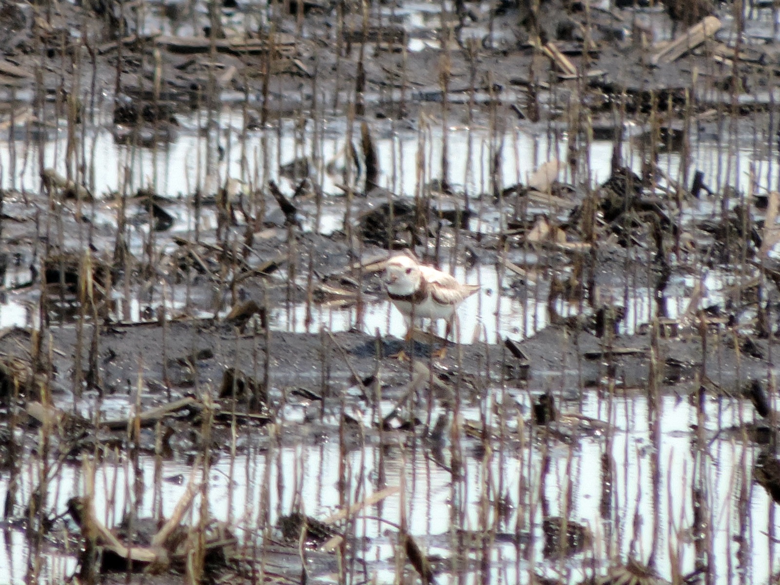
Piping Plover
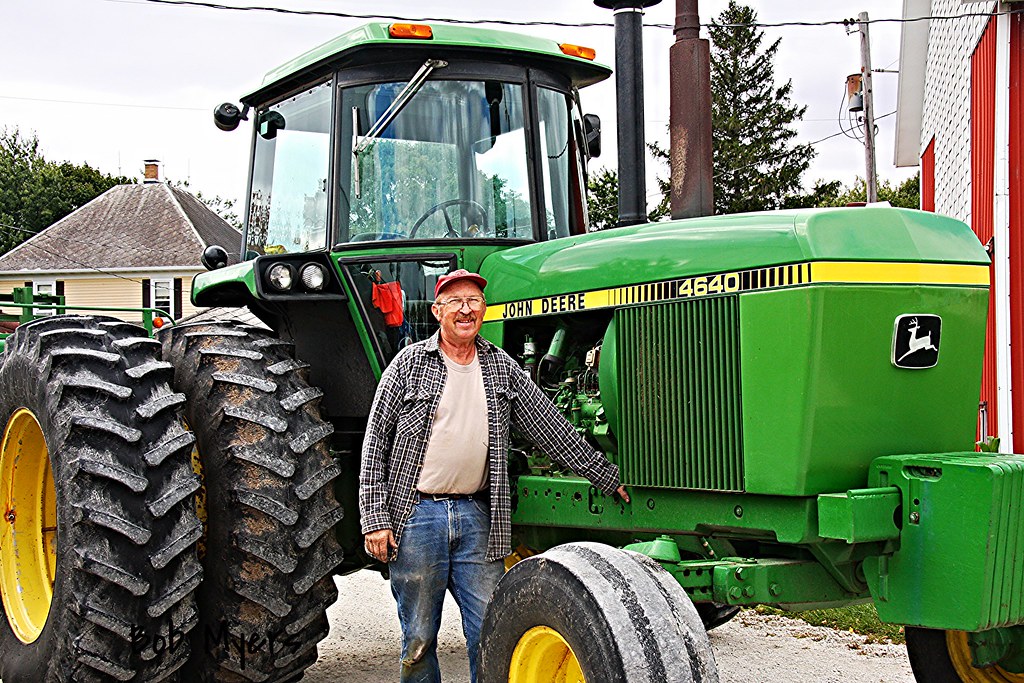
John Deere
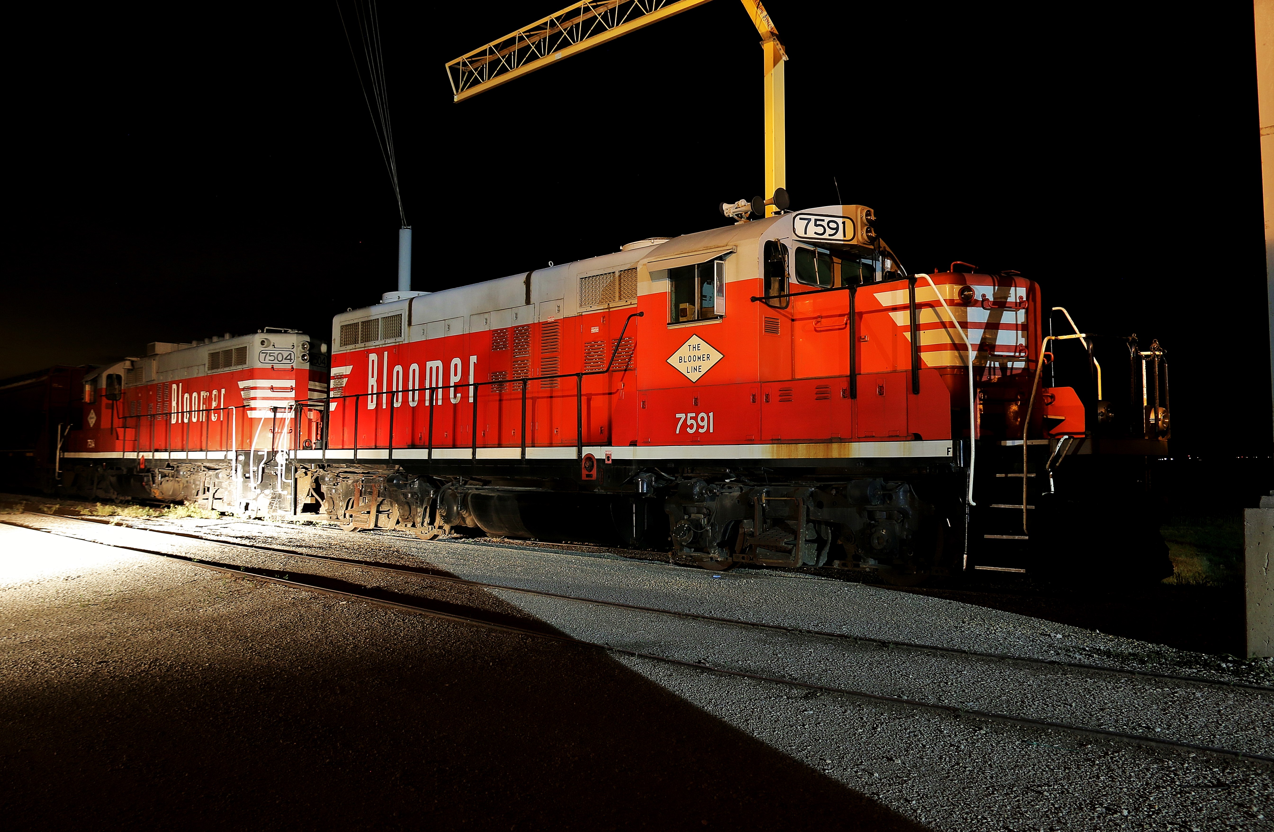
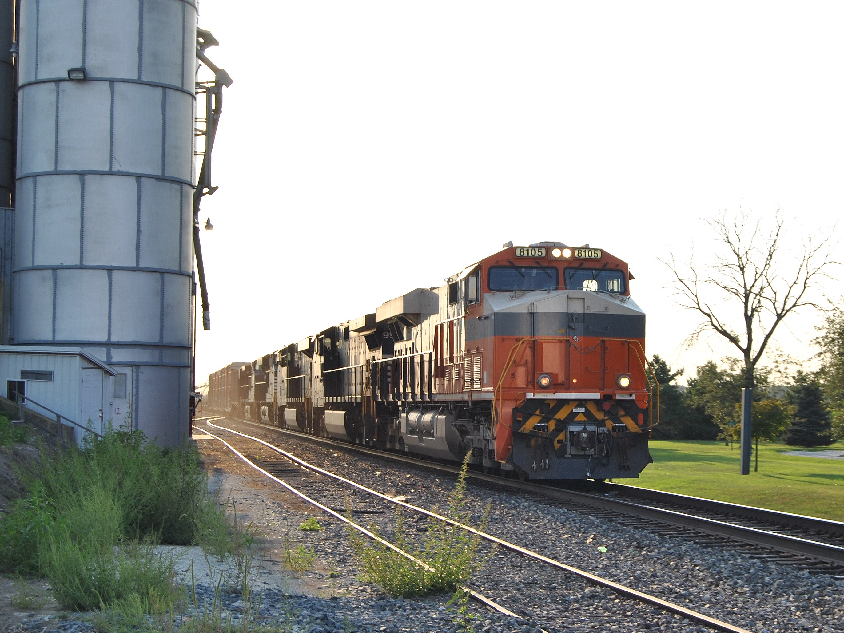
Cullom, IL

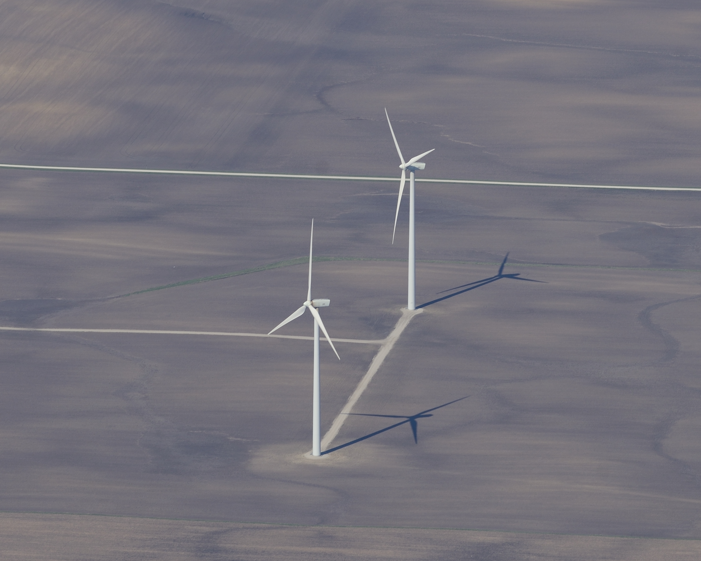
115 and 116
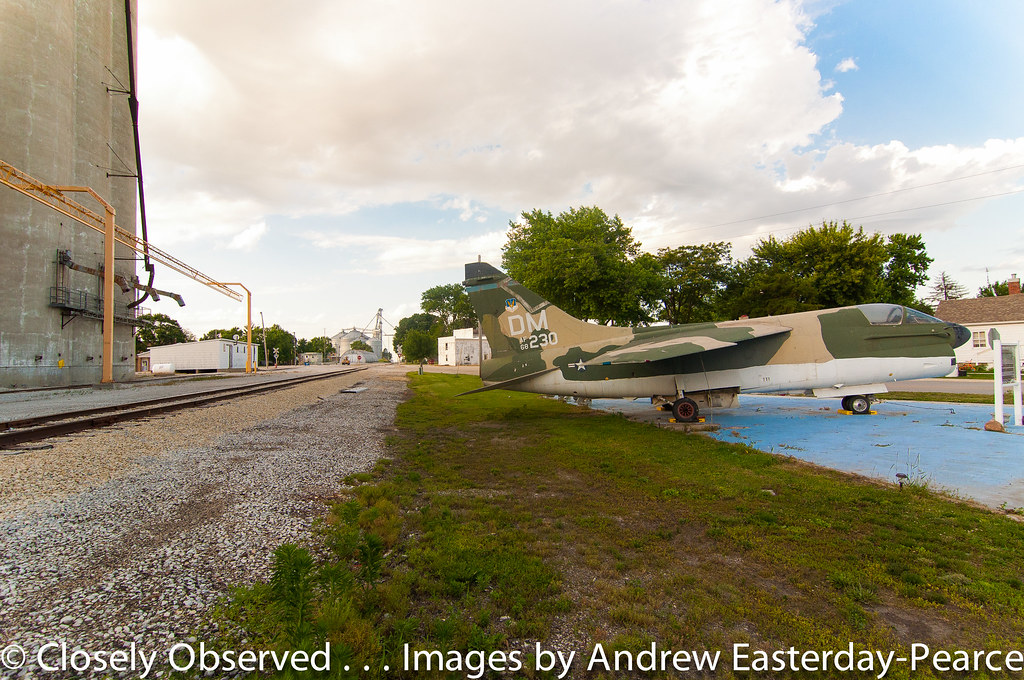
Interstate Heritage @ Buckingham, IL.
Topographic Map of Cabery, IL, USA
Find elevation by address:

Places in Cabery, IL, USA:
Places near Cabery, IL, USA:
Rogers Township
Elm St, Buckingham, IL, USA
Buckingham
Tamarind Ct, Cabery, IL, USA
Norton Township
Reddick
S Shelly Ave, Reddick, IL, USA
W Kankakee Ave, Herscher, IL, USA
Herscher
1 Center St, Union Hill, IL, USA
Union Hill
Cullom
W Jackson St, Cullom, IL, USA
Pilot Township
Sullivan Township
E Goodfarm Rd, Gardner, IL, USA
Essex Township
Greenfield Township
Essex
130 Eagle Ct
Recent Searches:
- Elevation of Corso Fratelli Cairoli, 35, Macerata MC, Italy
- Elevation of Tallevast Rd, Sarasota, FL, USA
- Elevation of 4th St E, Sonoma, CA, USA
- Elevation of Black Hollow Rd, Pennsdale, PA, USA
- Elevation of Oakland Ave, Williamsport, PA, USA
- Elevation of Pedrógão Grande, Portugal
- Elevation of Klee Dr, Martinsburg, WV, USA
- Elevation of Via Roma, Pieranica CR, Italy
- Elevation of Tavkvetili Mountain, Georgia
- Elevation of Hartfords Bluff Cir, Mt Pleasant, SC, USA