Elevation of 1 Center St, Union Hill, IL, USA
Location: United States > Illinois > Kankakee County > Norton Township > Union Hill >
Longitude: -88.146484
Latitude: 41.1073418
Elevation: 188m / 617feet
Barometric Pressure: 99KPa
Elevation Map:
Satellite Map:
Related Photos:

A View from the Bridge
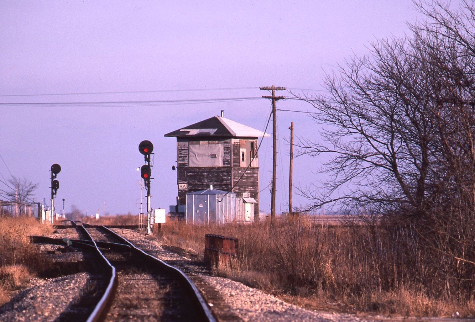
Dead Towers: Reddick
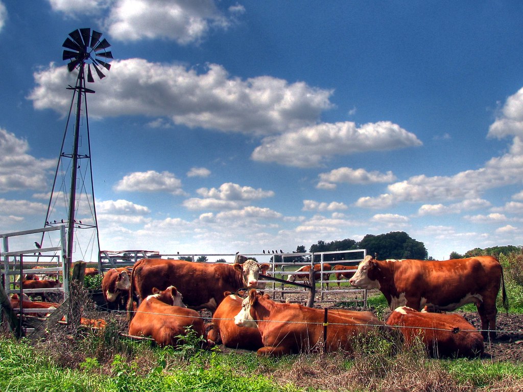
Hot Summer AfterMooon

I love corn
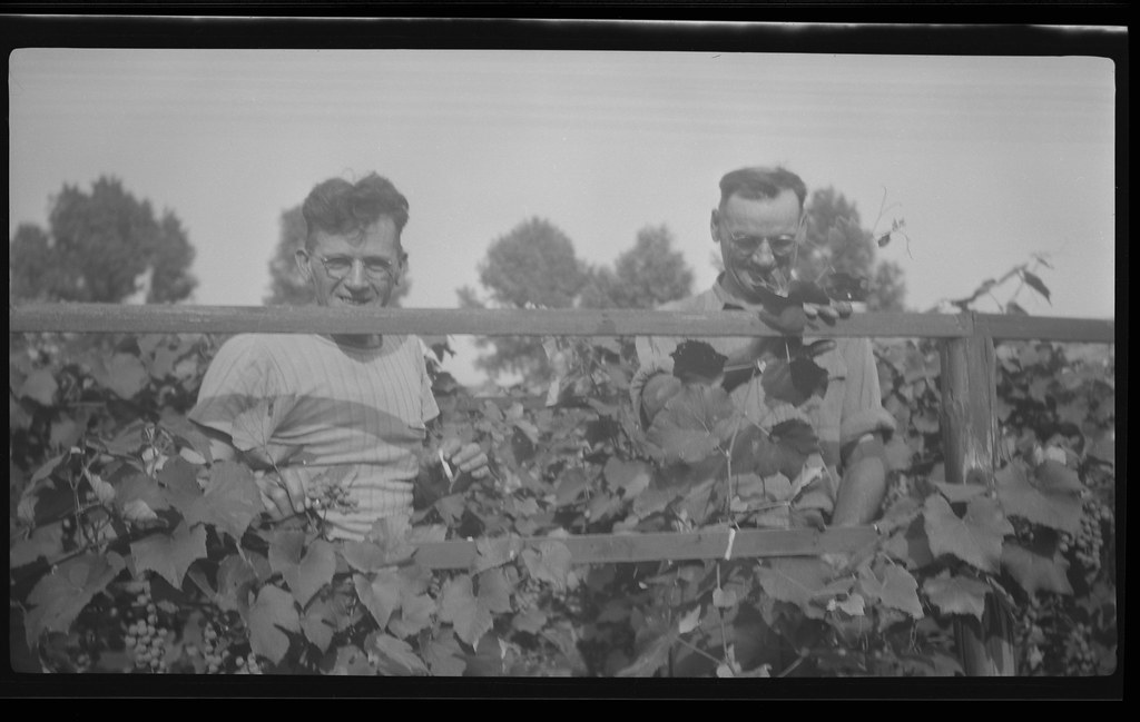
Johnson-1945-08-24-02
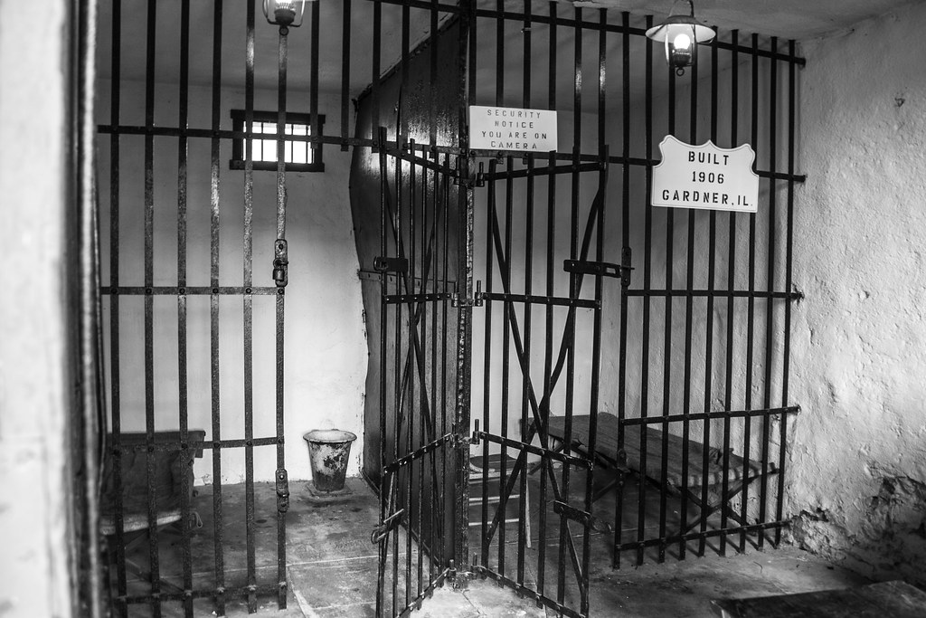
Two cell jail

Riviera Roadhouse Restaurant
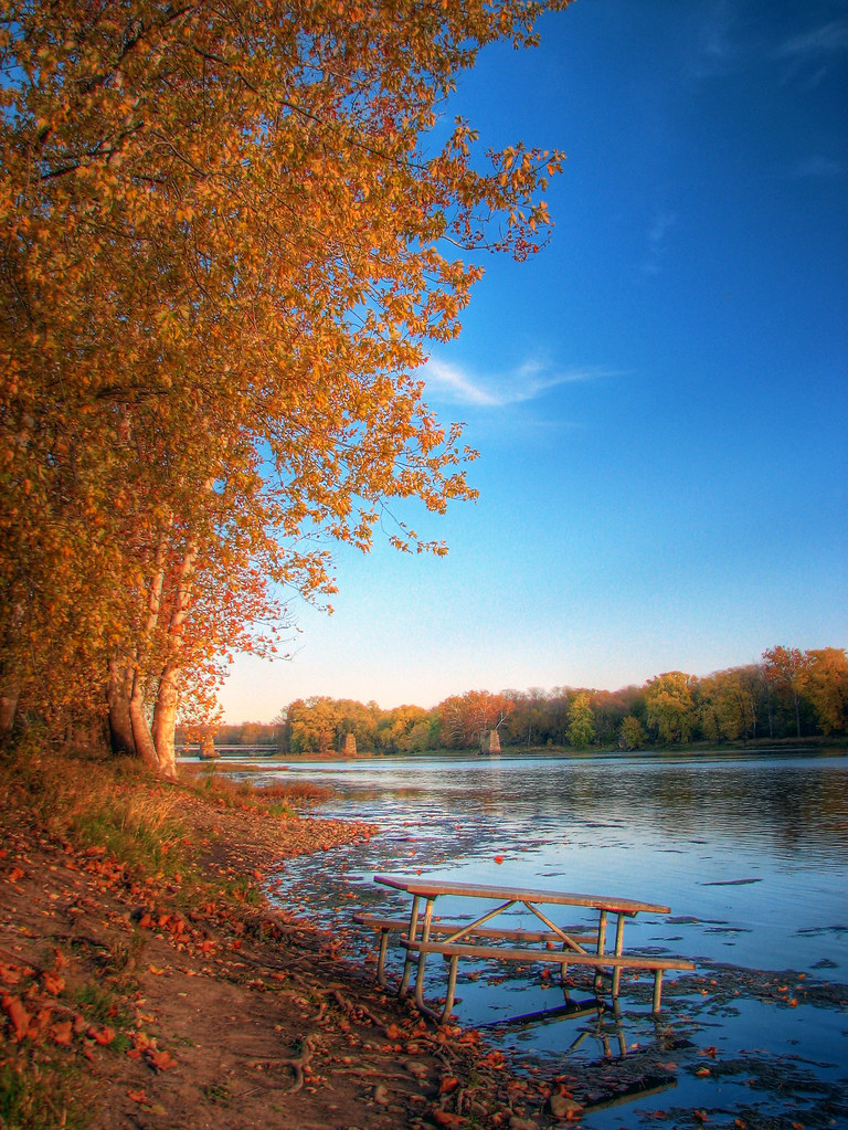
Picnic in the River

Kankakee River 3

Kankakee River 2

Kankakee River 1

????
Topographic Map of 1 Center St, Union Hill, IL, USA
Find elevation by address:

Places near 1 Center St, Union Hill, IL, USA:
Union Hill
Buckingham
Elm St, Buckingham, IL, USA
Essex Township
Norton Township
W Kankakee Ave, Herscher, IL, USA
Herscher
Essex
130 Eagle Ct
Pilot Township
S Shelly Ave, Reddick, IL, USA
Reddick
E Goodfarm Rd, Gardner, IL, USA
Cabery
Custer Township
Greenfield Township
Custer Park
19646 Il-113
Reed Township
Rogers Township
Recent Searches:
- Elevation of Corso Fratelli Cairoli, 35, Macerata MC, Italy
- Elevation of Tallevast Rd, Sarasota, FL, USA
- Elevation of 4th St E, Sonoma, CA, USA
- Elevation of Black Hollow Rd, Pennsdale, PA, USA
- Elevation of Oakland Ave, Williamsport, PA, USA
- Elevation of Pedrógão Grande, Portugal
- Elevation of Klee Dr, Martinsburg, WV, USA
- Elevation of Via Roma, Pieranica CR, Italy
- Elevation of Tavkvetili Mountain, Georgia
- Elevation of Hartfords Bluff Cir, Mt Pleasant, SC, USA