Elevation of CA-, Idyllwild, CA, USA
Location: United States > California > Riverside County > Idyllwild-pine Cove > Idyllwild >
Longitude: -116.72026
Latitude: 33.7411928
Elevation: 1610m / 5282feet
Barometric Pressure: 83KPa
Elevation Map:
Satellite Map:
Related Photos:
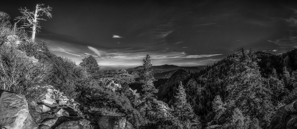
San Jacinto Mountain View

Palm Springs Blue Hour

Mt. San Jacinto Peak
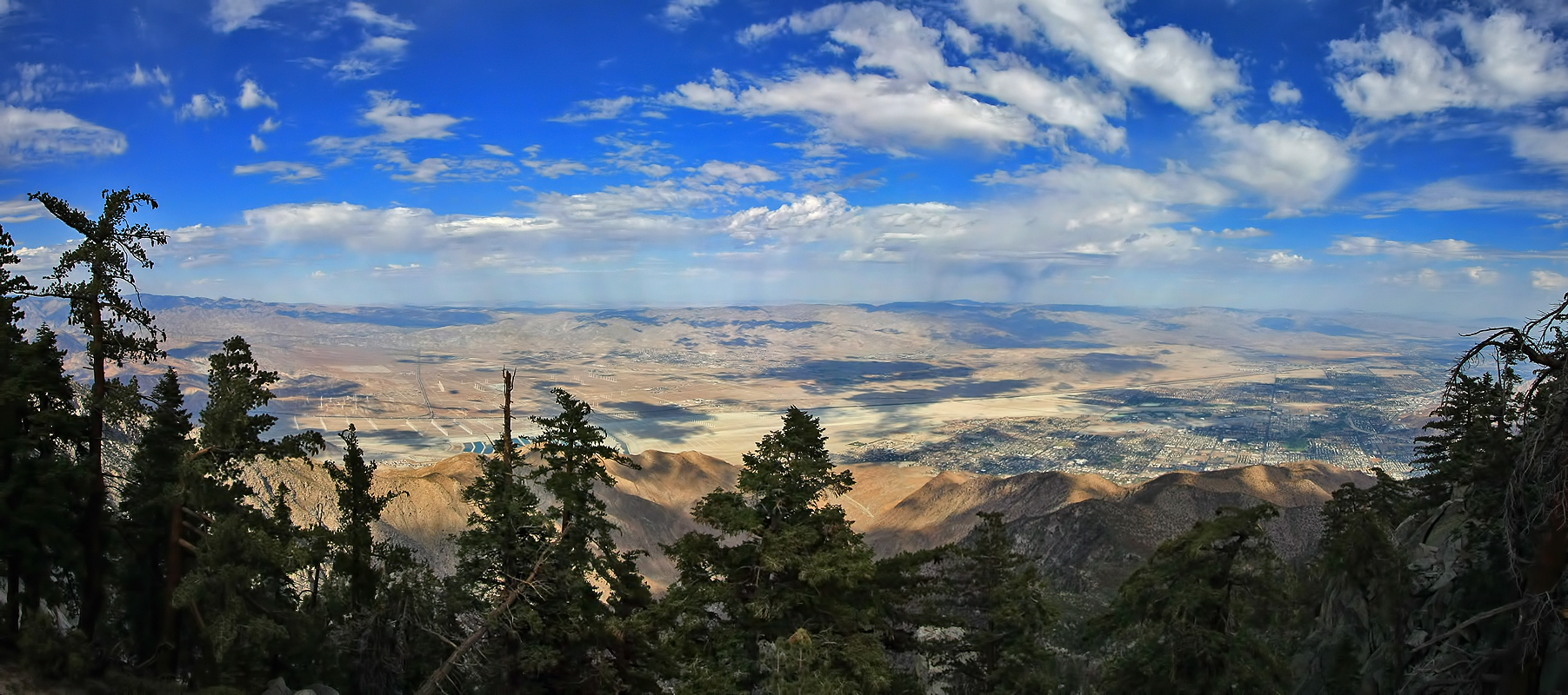
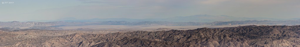
Palm Spring Aerial Panorama

Palm Springs Moon Rising

Curious racoon and shy friend
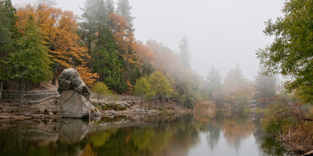
Lake Mist

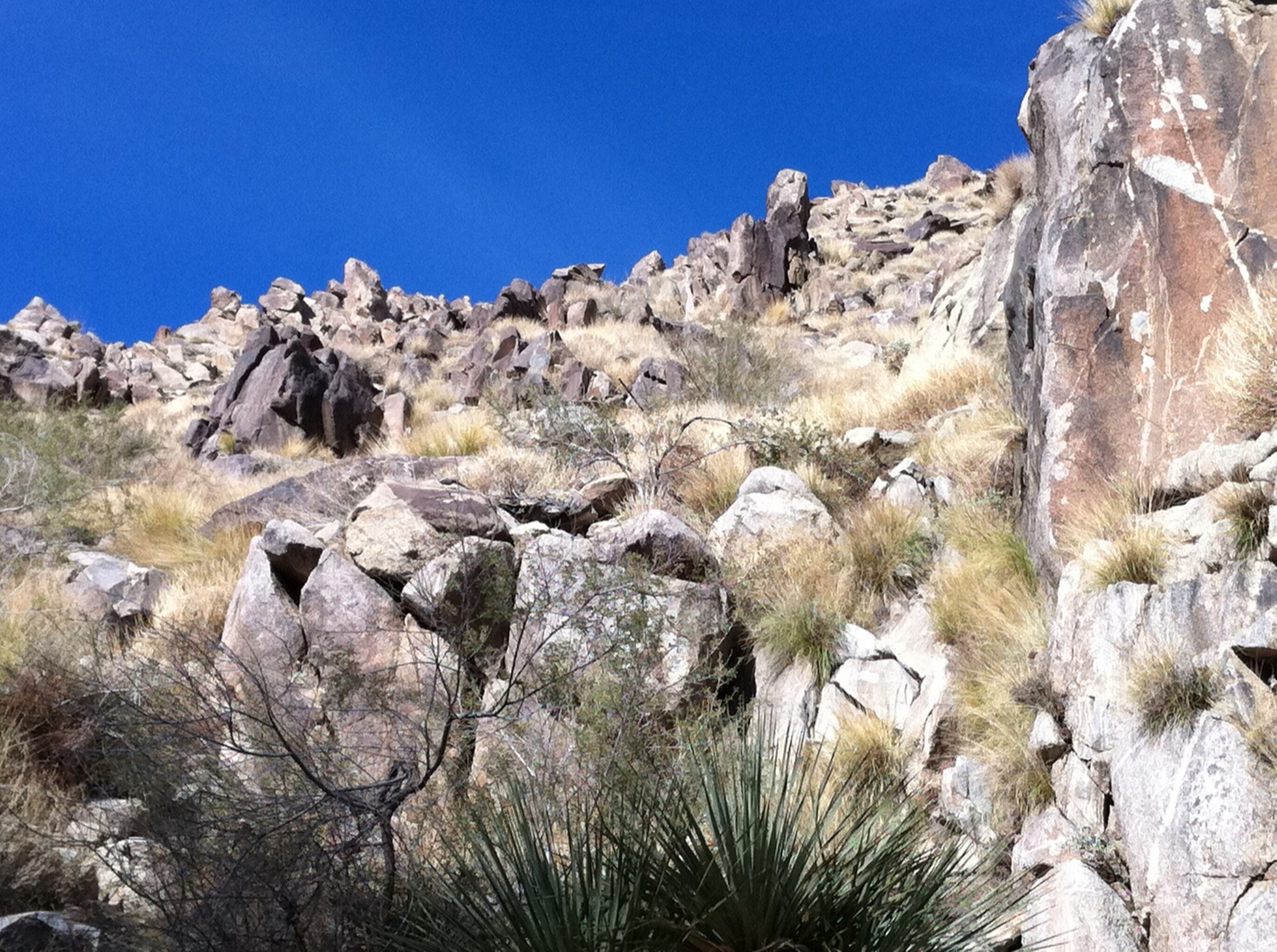
On a little trail
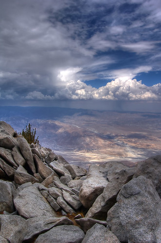
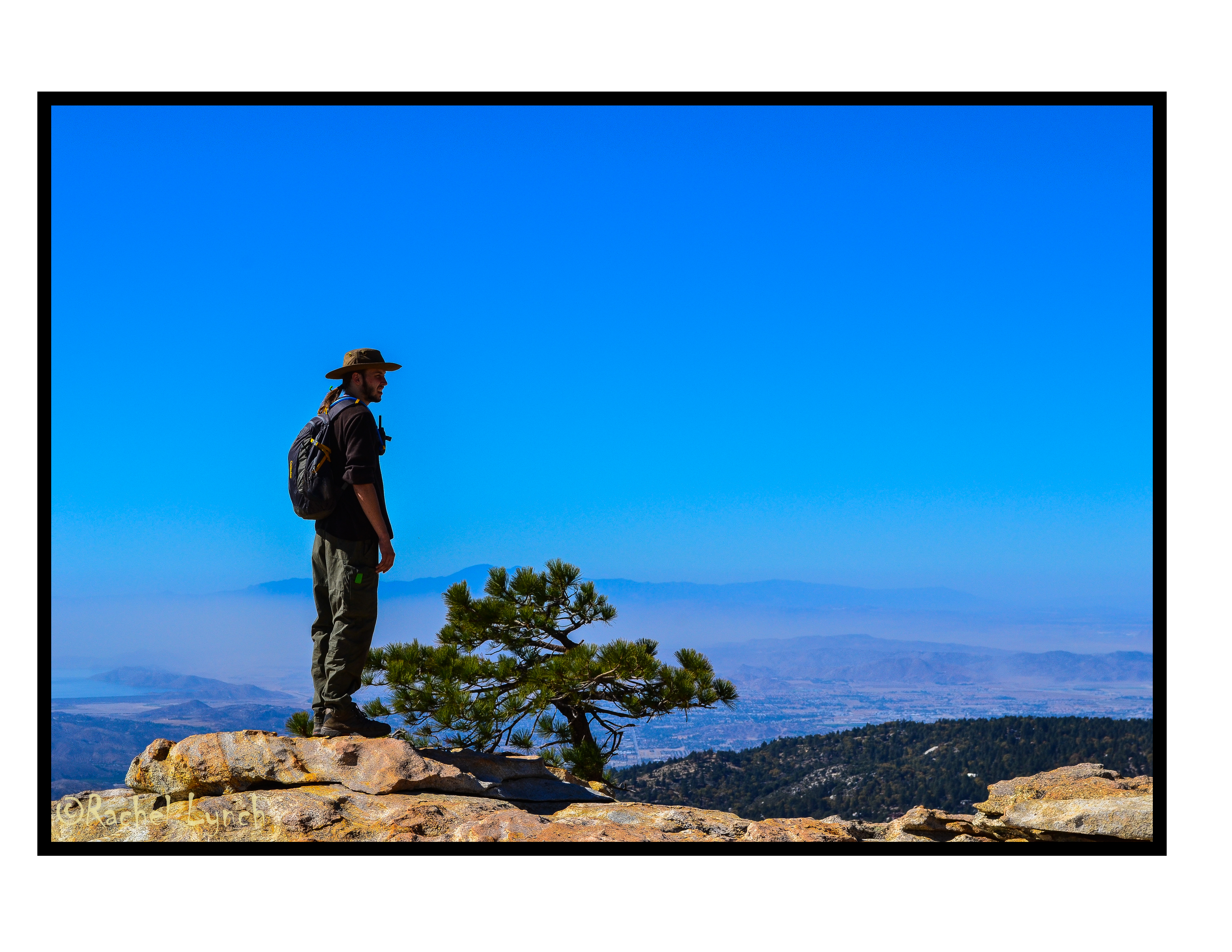
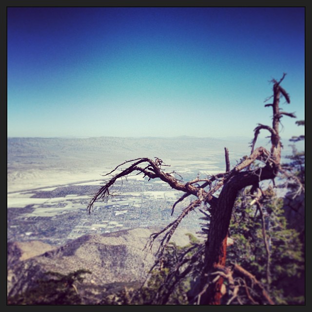
View from the Summit of San Jacinto
Its Yours Today.
Palm Springs Tramway View
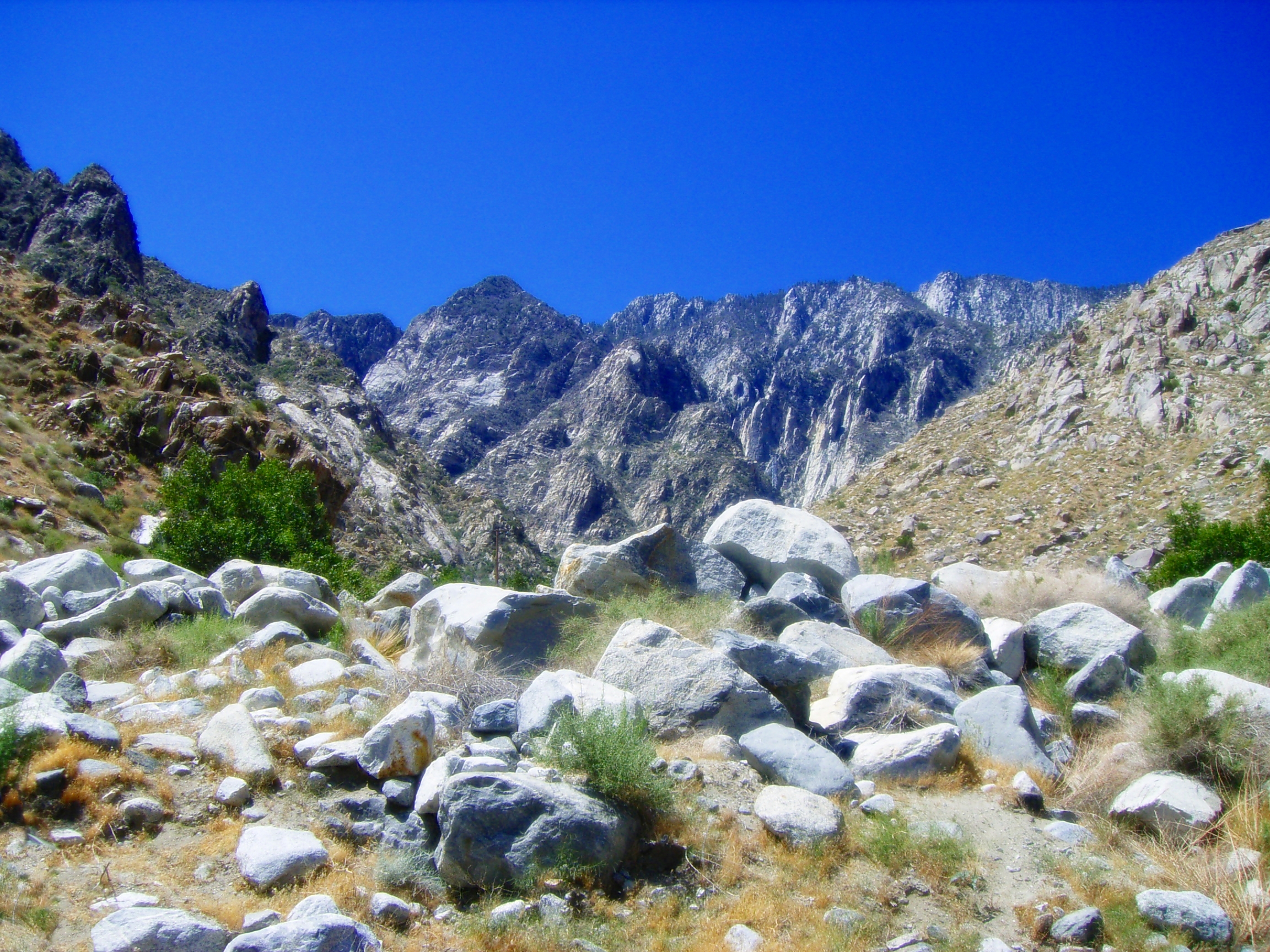
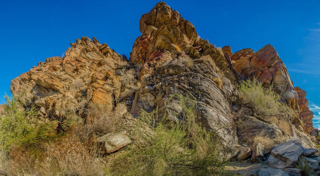
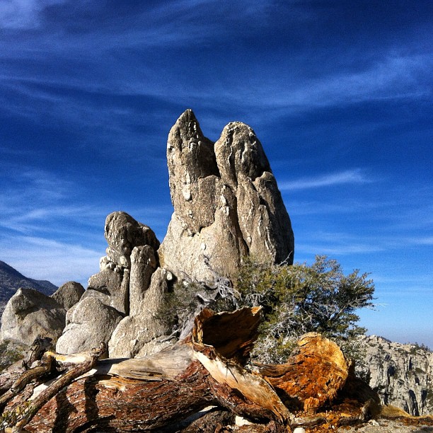
Rocky Tor
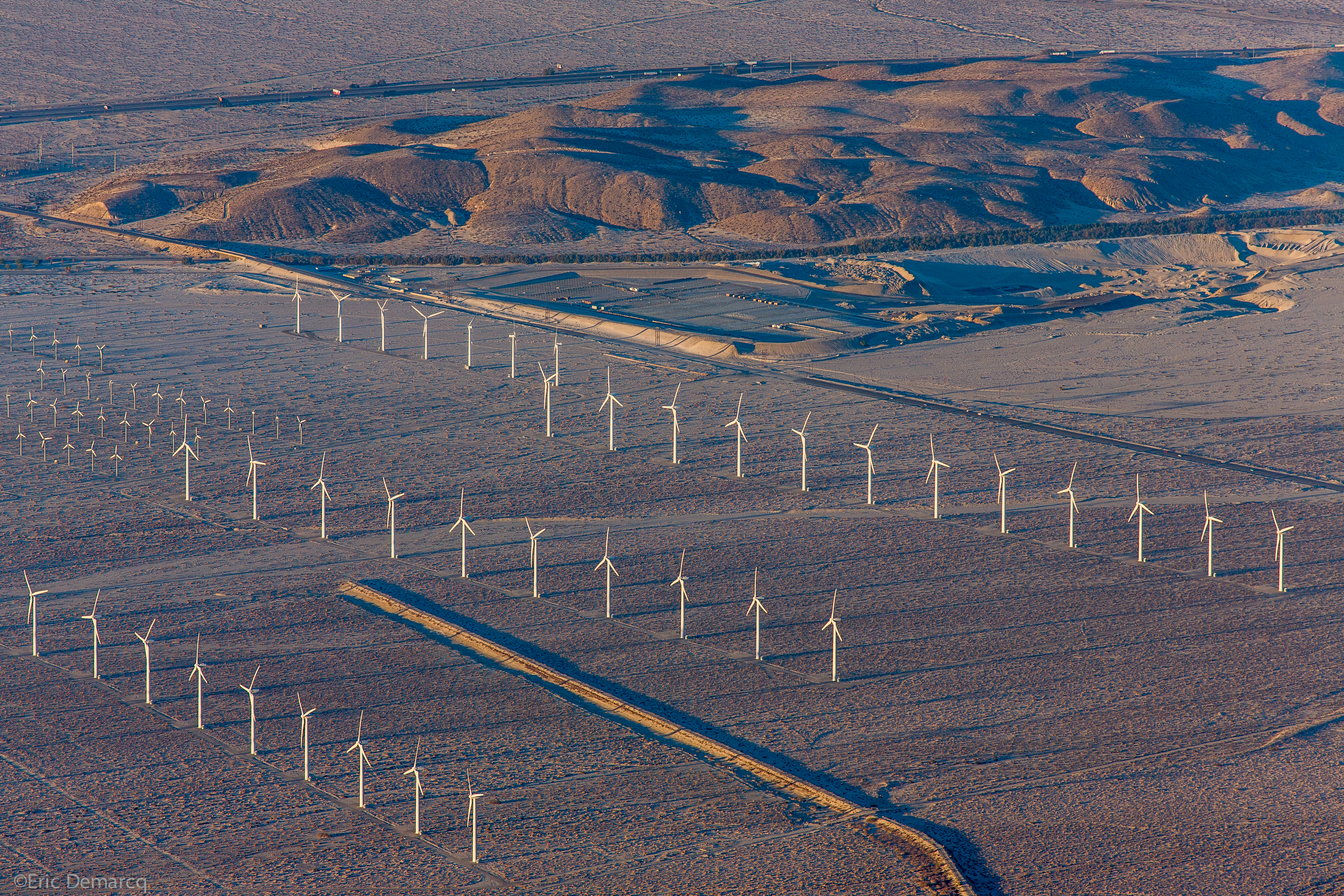
Palm Springs Windmill

mountain (explore)
View from the top
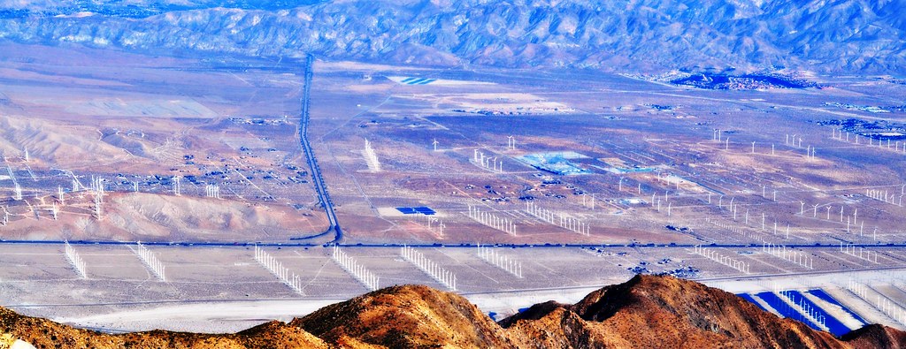
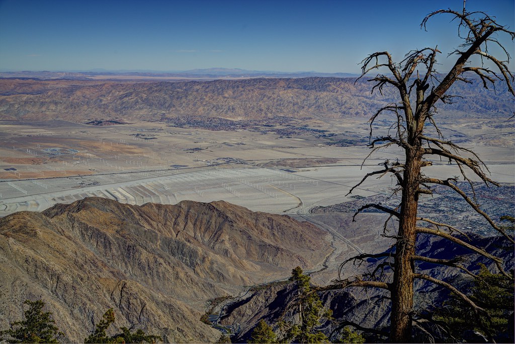
View of the Wind Turbines from the San Jacinto Mountains

Beautiful views both ways
Palm Springs Tramway Mountains
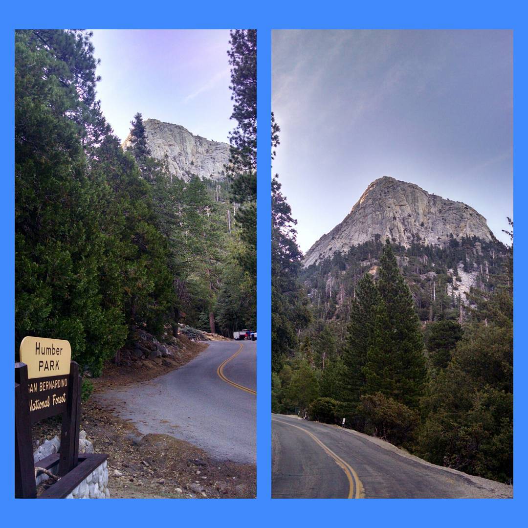
Morning view of Tahquitz Peak on walk to Humber Park - #IdyllwildJazz -enabled ;)

Ride the Swirl
Desert stick view
Remains of Pride Rock
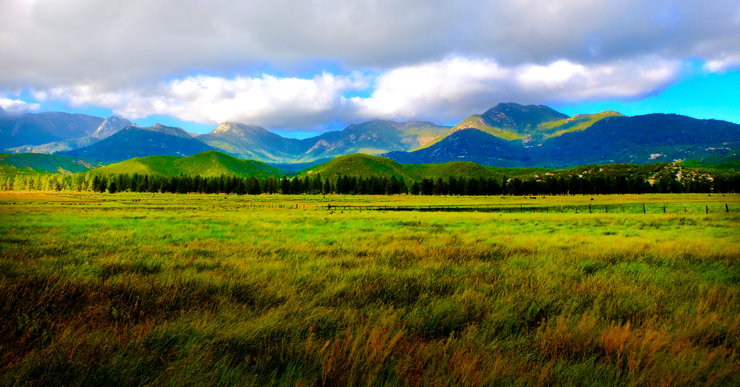
Autumn Reflections Above Los Angeles

"An oasis in the desert"

Reflecting on an autumn sunset
Idyllwild CA

Tourists in Andreas Canyon

Camera Roll-95
Andreas Canyon
Yucca Valley & Joshua Tree National Park, CA - EXPLORED 5/16/14 - best position #135

Going to the top!
Beyond The Barbed Wire Fence
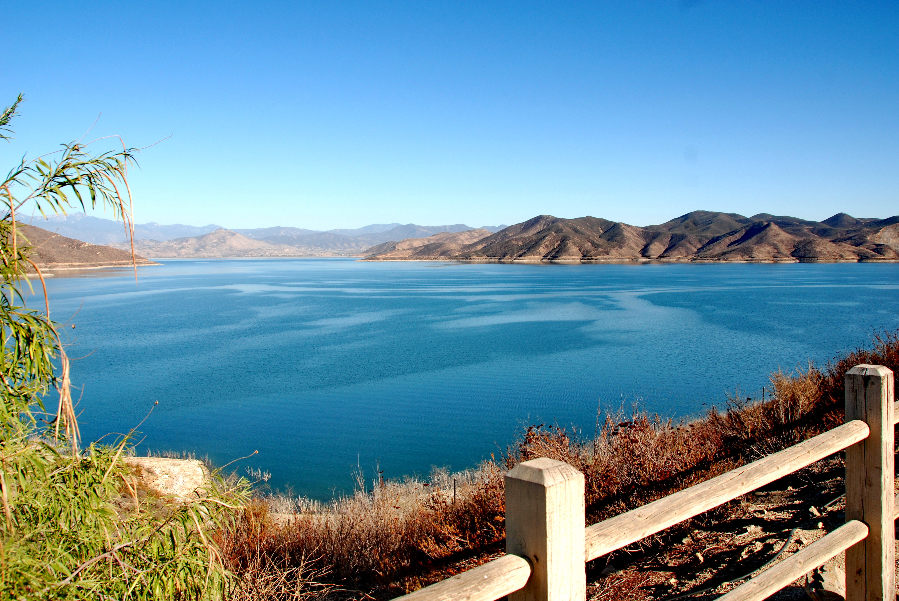
Diamond Valley Lake est.1999

2011-08-01 087

what 8828 ft looks like!
#rock on #hiking #scenery #boulder #nature #hand #lookslikeahand
Camera Roll-73
Topographic Map of CA-, Idyllwild, CA, USA
Find elevation by address:

Places near CA-, Idyllwild, CA, USA:
Banning-Idyllwild Panoramic Hwy, Idyllwild, CA, USA
Idyllwild
53815 Marian View Dr
Idyllwild Nature Center
26350 Delano Dr
53589 Tollgate Rd
25690 Cedar Glen Dr
25670 Cedar Glen Dr
25676 Double Tree Dr
53098 Mckinney Ln
52655 Double View Dr
Mountain Center Cafe
Mountain Center
Doe Canyon Road
Bautista Canyon
36401 Tripp Flats Rd
26616 Regent Ct
Pleasant St, Hemet, CA, USA
Chambers Ave, Hemet, CA, USA
41701 Stetson Ave
Recent Searches:
- Elevation of Corso Fratelli Cairoli, 35, Macerata MC, Italy
- Elevation of Tallevast Rd, Sarasota, FL, USA
- Elevation of 4th St E, Sonoma, CA, USA
- Elevation of Black Hollow Rd, Pennsdale, PA, USA
- Elevation of Oakland Ave, Williamsport, PA, USA
- Elevation of Pedrógão Grande, Portugal
- Elevation of Klee Dr, Martinsburg, WV, USA
- Elevation of Via Roma, Pieranica CR, Italy
- Elevation of Tavkvetili Mountain, Georgia
- Elevation of Hartfords Bluff Cir, Mt Pleasant, SC, USA