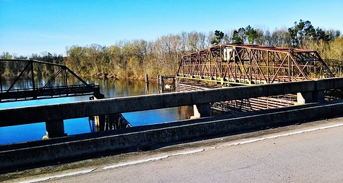
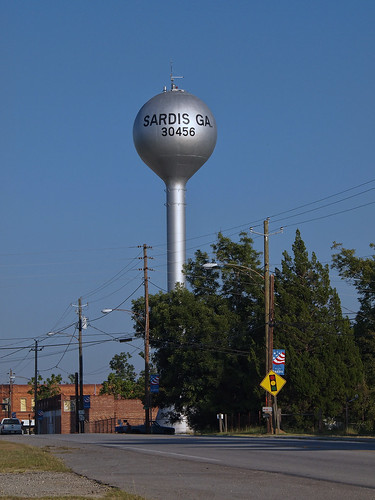
Elevation of C St, Hiltonia, GA, USA
Location: United States > Georgia > Screven County > Hiltonia >
Longitude: -81.658378
Latitude: 32.8816823
Elevation: 56m / 184feet
Barometric Pressure: 101KPa
Related Photos:
Topographic Map of C St, Hiltonia, GA, USA
Find elevation by address:

Places near C St, Hiltonia, GA, USA:
Hiltonia
Beaver Dam Rd, Sylvania, GA, USA
4420 Waynesboro Hwy
16806 Roberts Bridge Rd
Industrial Park Rd, Sylvania, GA, USA
Sylvania
Sardis
Indian Trail Rd, Sylvania, GA, USA
Halcyondale Rd, Sylvania, GA, USA
Girard
Screven County
Savannah Hwy, Sylvania, GA, USA
1570 Creek Rd
Old Rocky Ford Rd, Rocky Ford, GA, USA
4951 Halcyondale Rd
Alexander- Munnerlyn Rd, Sardis, GA, USA
Red Bluff Rd, Sylvania, GA, USA
GA-23, Waynesboro, GA, USA
4470 Ga-17
7821 River Rd
Recent Searches:
- Elevation of Corso Fratelli Cairoli, 35, Macerata MC, Italy
- Elevation of Tallevast Rd, Sarasota, FL, USA
- Elevation of 4th St E, Sonoma, CA, USA
- Elevation of Black Hollow Rd, Pennsdale, PA, USA
- Elevation of Oakland Ave, Williamsport, PA, USA
- Elevation of Pedrógão Grande, Portugal
- Elevation of Klee Dr, Martinsburg, WV, USA
- Elevation of Via Roma, Pieranica CR, Italy
- Elevation of Tavkvetili Mountain, Georgia
- Elevation of Hartfords Bluff Cir, Mt Pleasant, SC, USA


